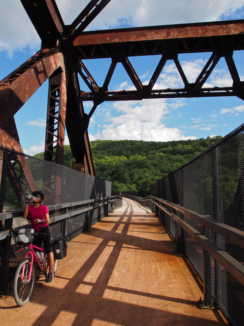
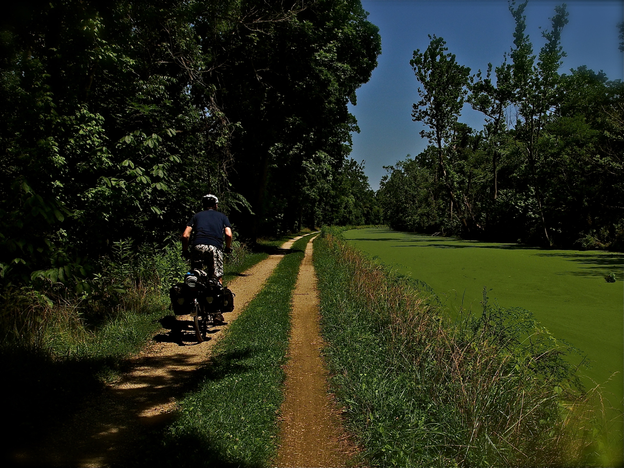
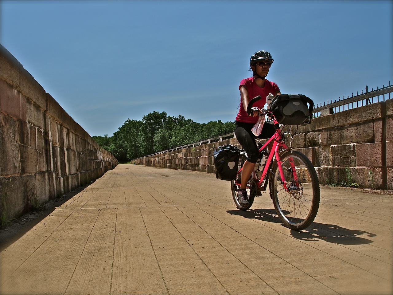
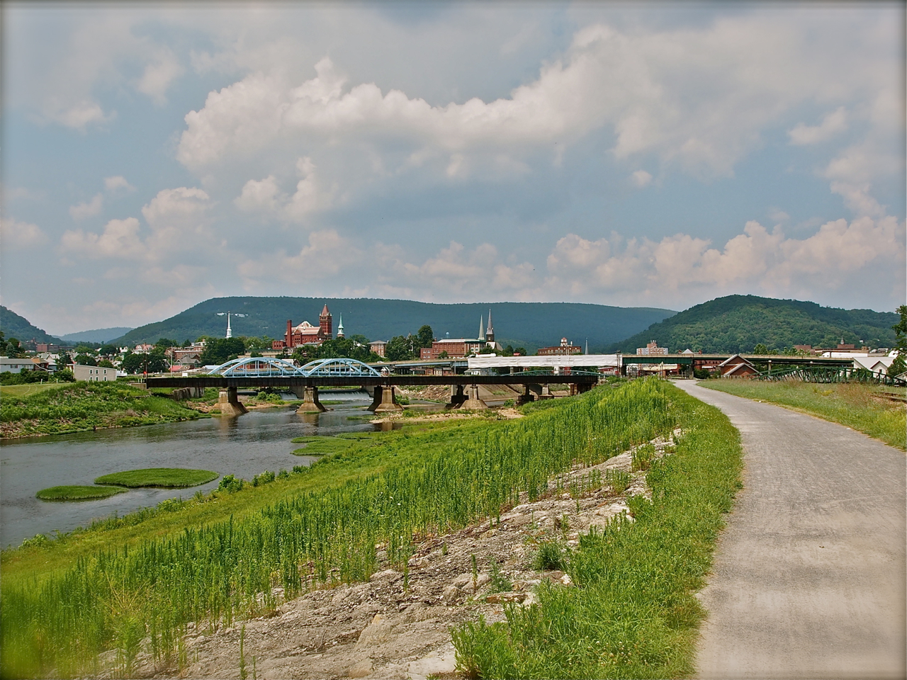
When we departed Maryland in July we weren’t sure if we would make it to the Rocky Mountains before snow and freezing temperatures closed the higher mountain passes to cyclists. From the common room of a hostel in Moab, UT, we are pleased to report that we made it through the mountains before the winter weather arrived.
Here’s a look back at our ride across the great state of Colorado…
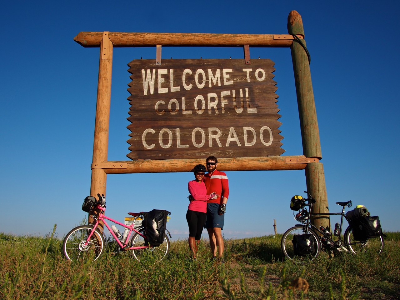
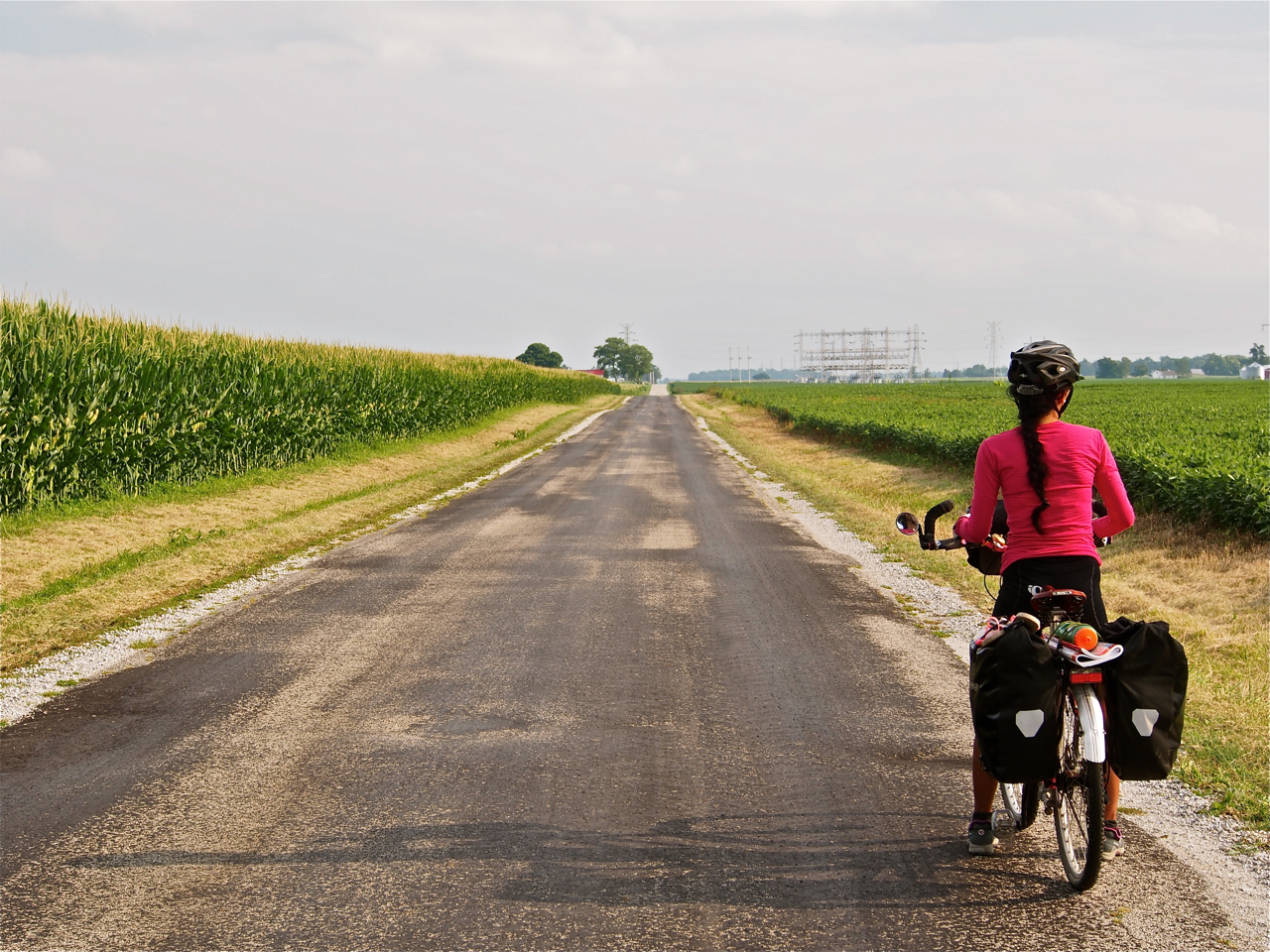
After quite a few bland days in western Kansas, we finally reached the Colorado border.

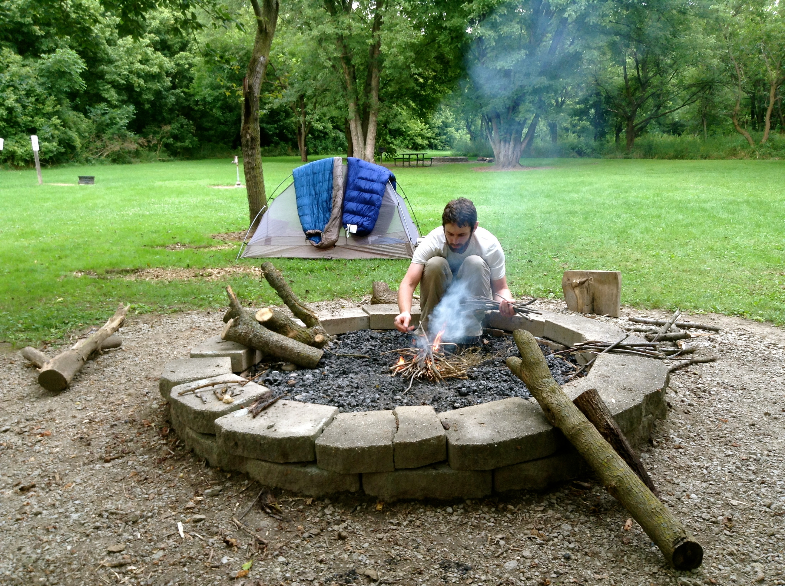
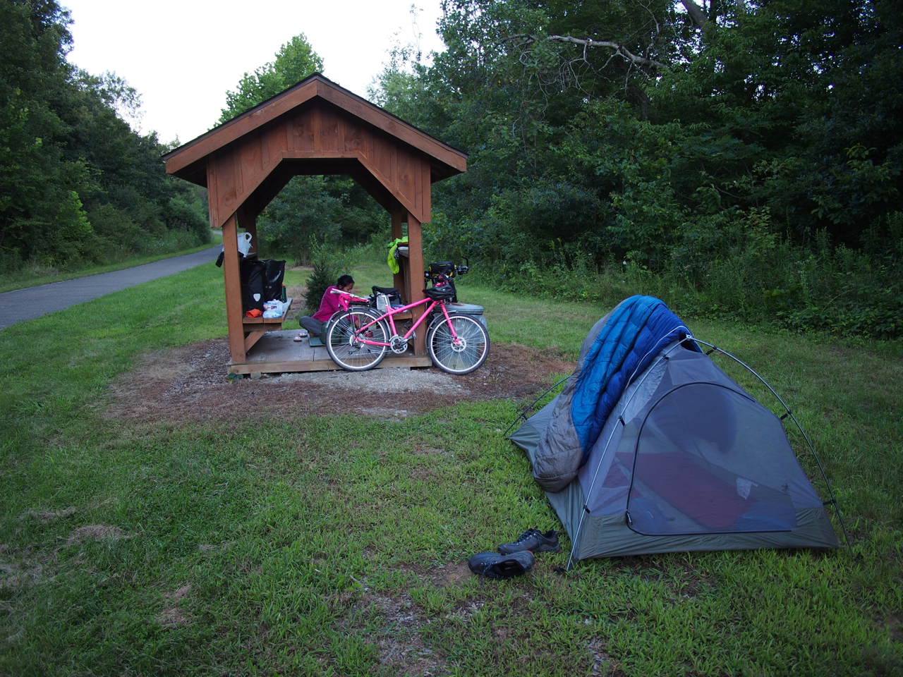
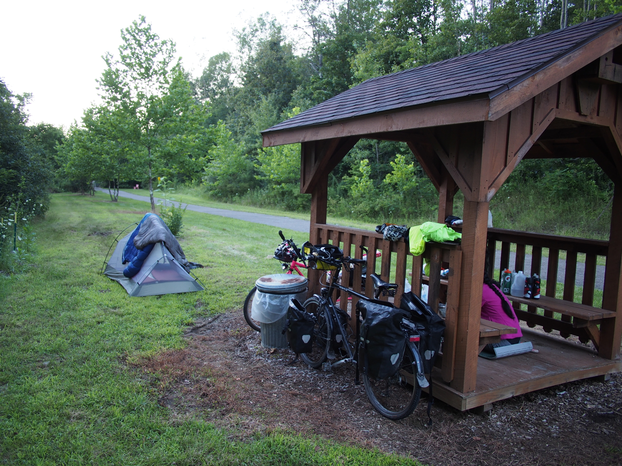
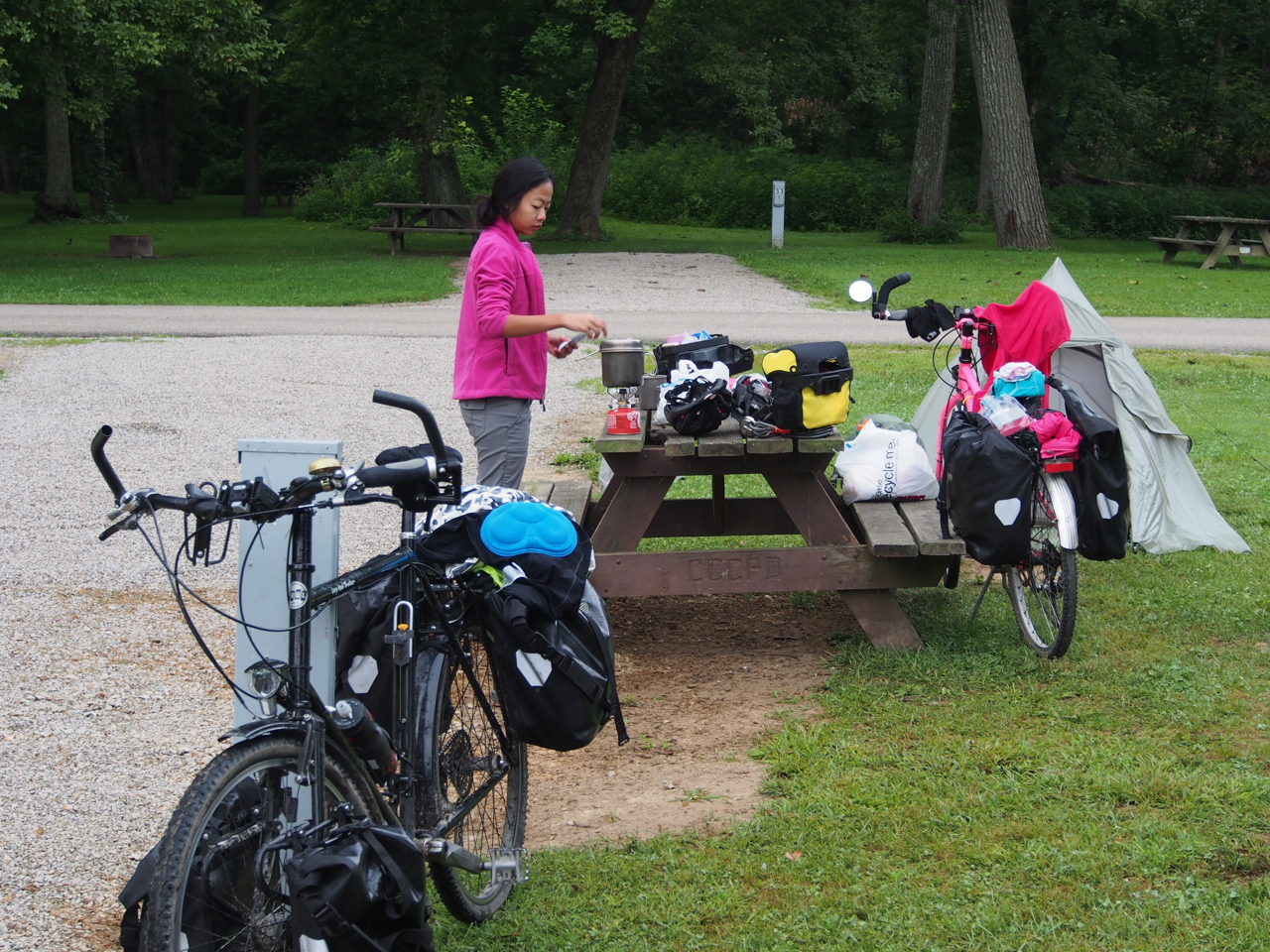
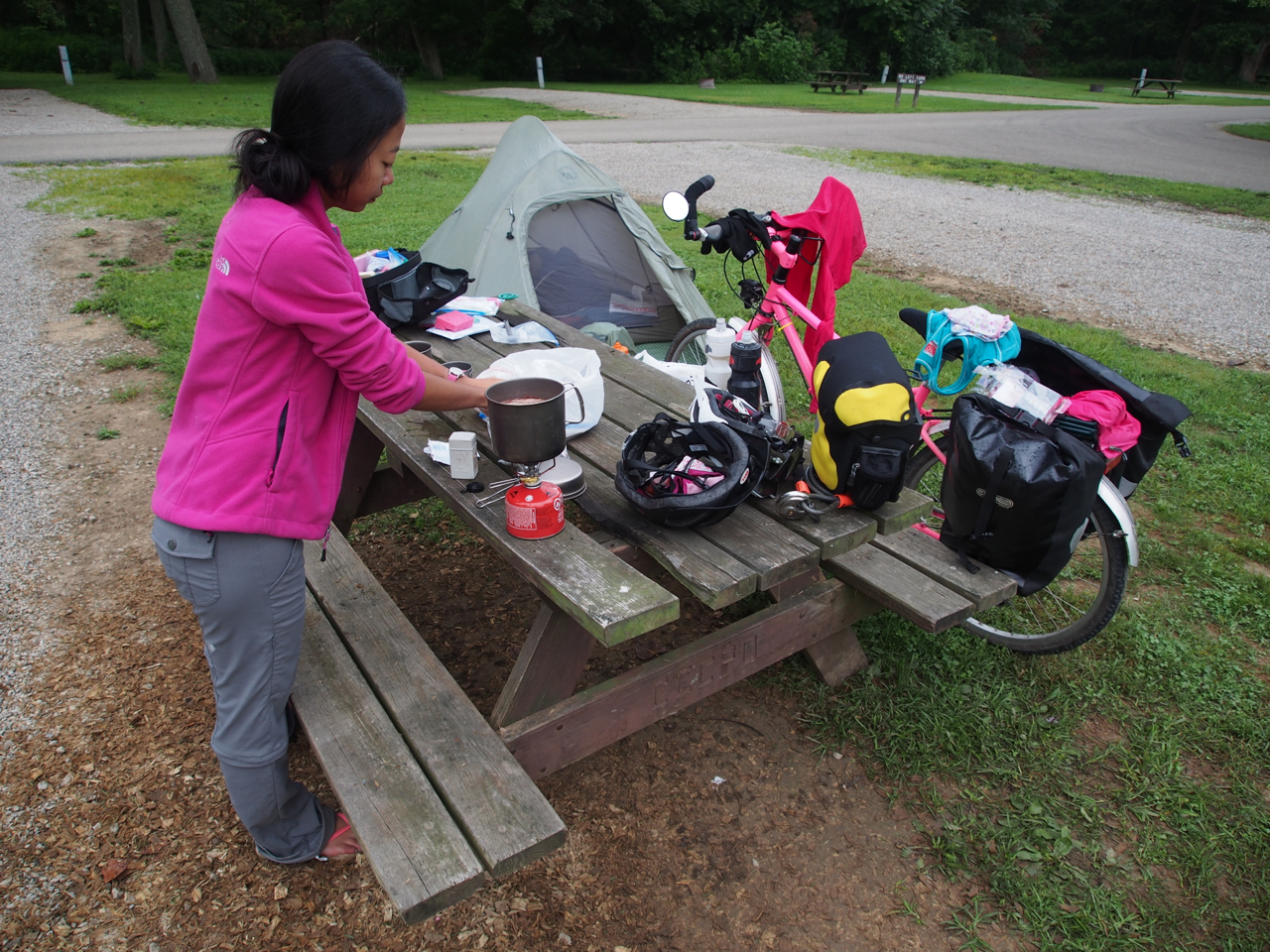
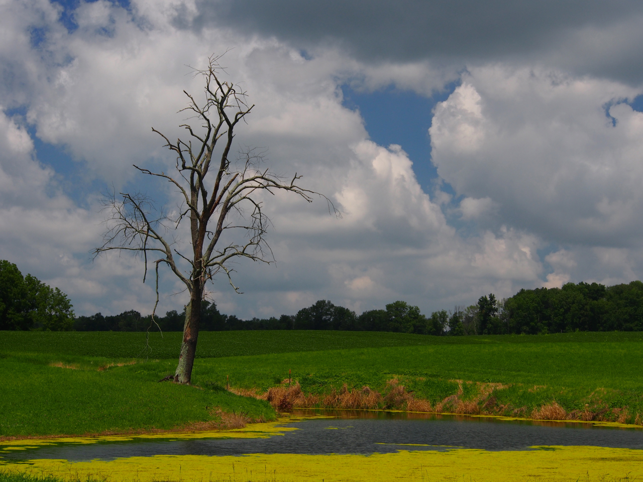
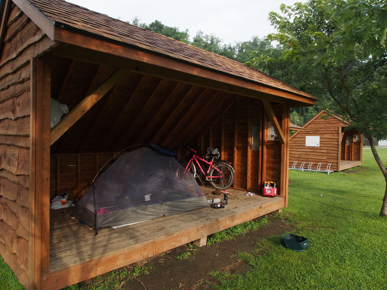
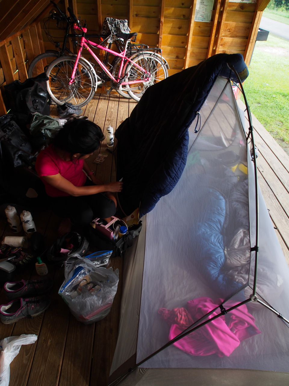
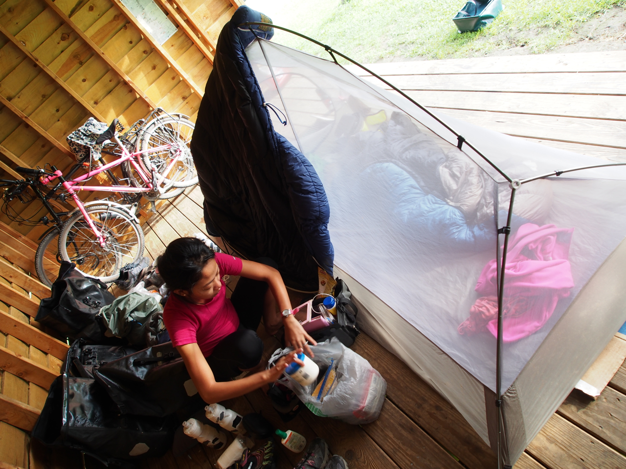
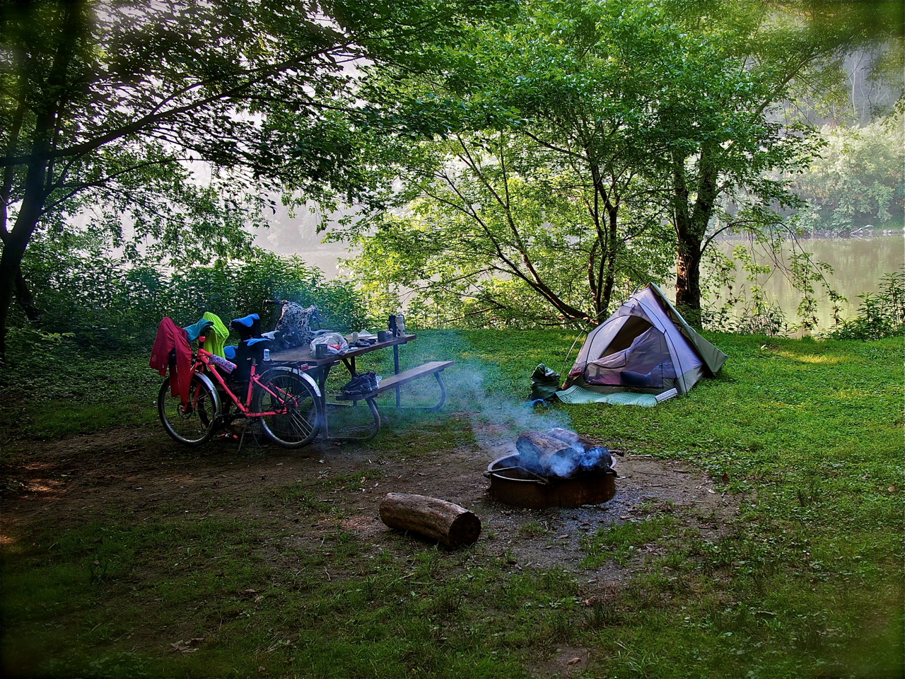
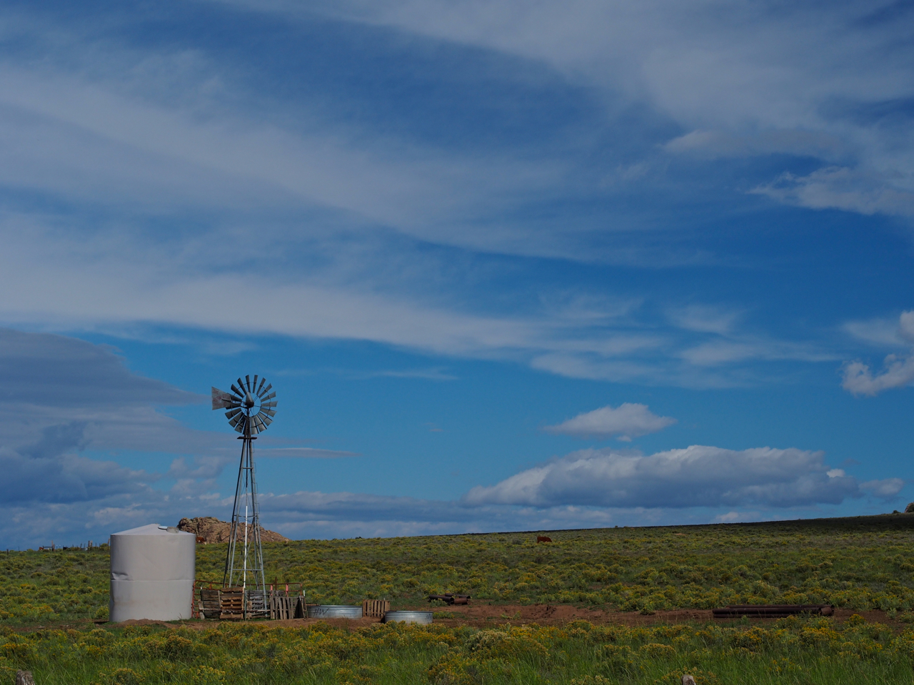
Unfortunately, the geography of eastern Colorado isn’t the stuff of Mountain Dew commercials. The town of Eads, CO looked like just another sorry sight in western Kansas. Here’s our campsite behind the town’s rest stop.
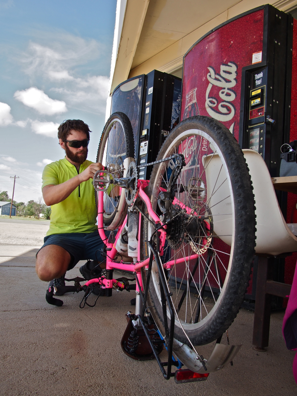
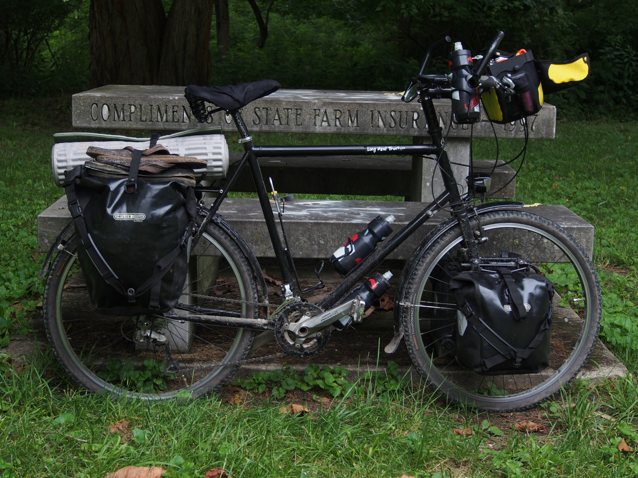
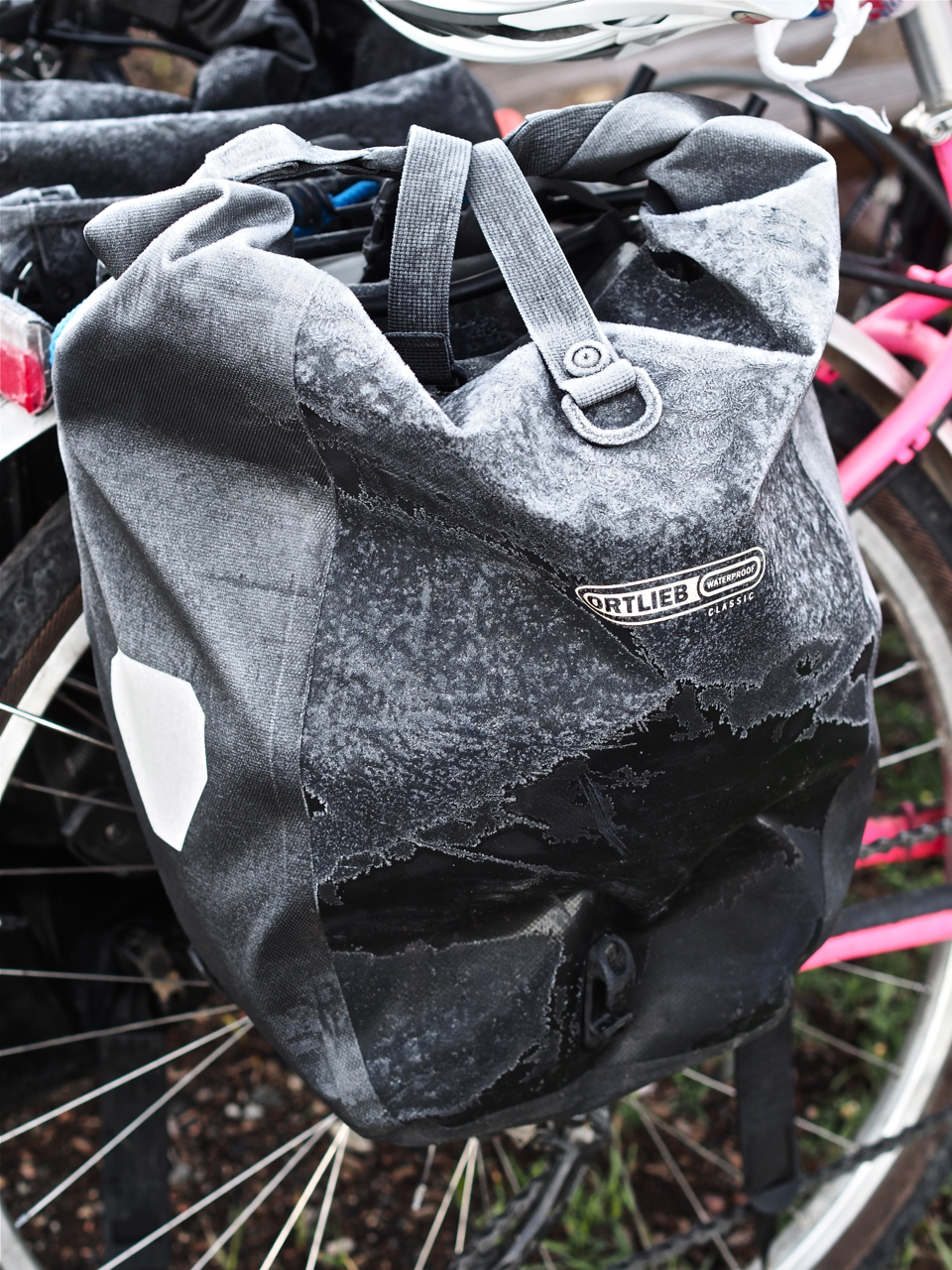
In this photo you can see Eyna’s personal bike mechanic reinstalling her wheel after patching a flat. Overall, we’ve had good luck with punctures: in the first 2,500 miles we have only had to deal with four flats.

Eyna’s mechanic also dialed in her brake pads in anticipation of heavy braking on long descents in the Rockies.
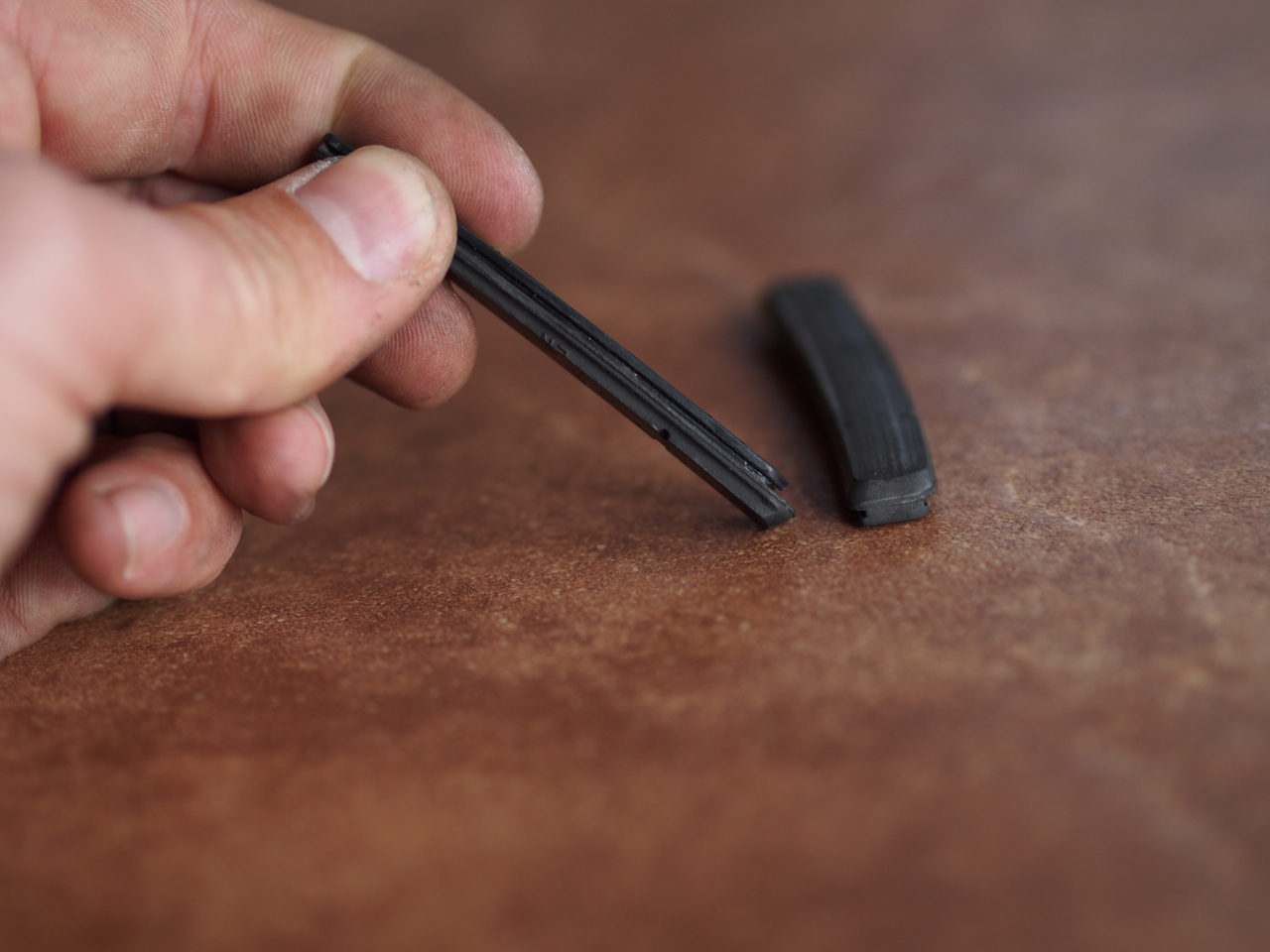
The pads on my rim brakes had worn pretty thin, too. Fortunately, swapping them out only takes about ten minutes and requires no tools.

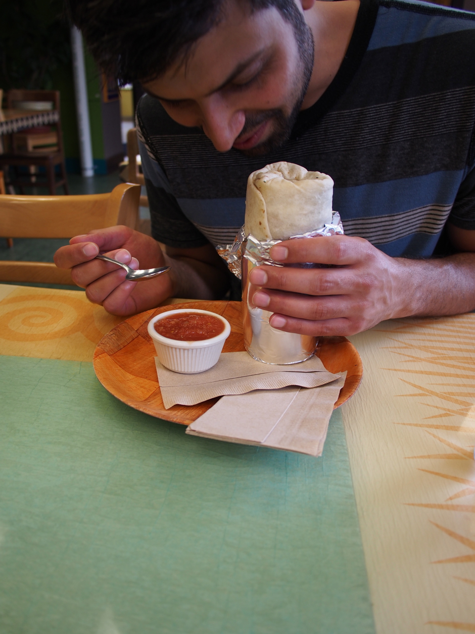
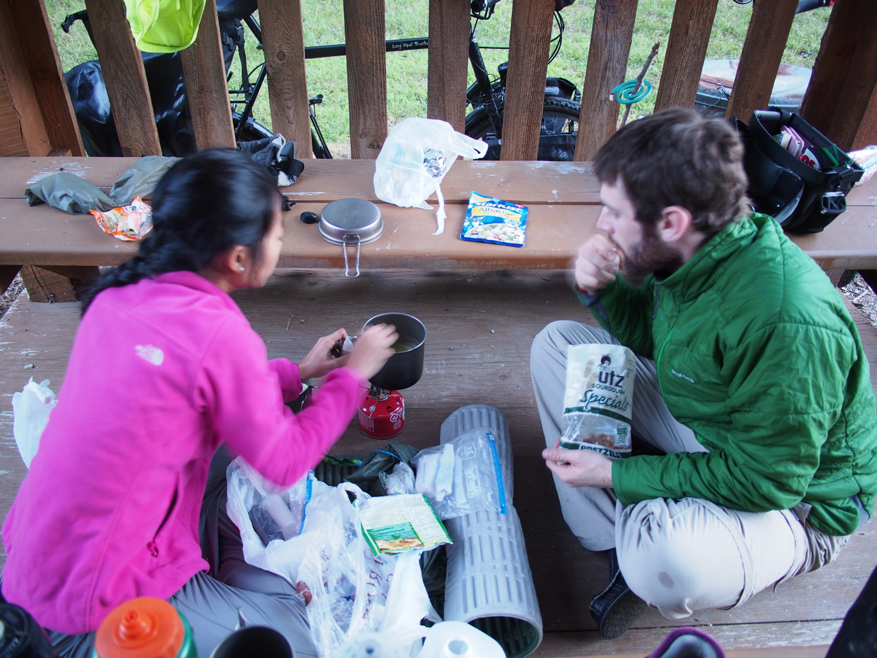
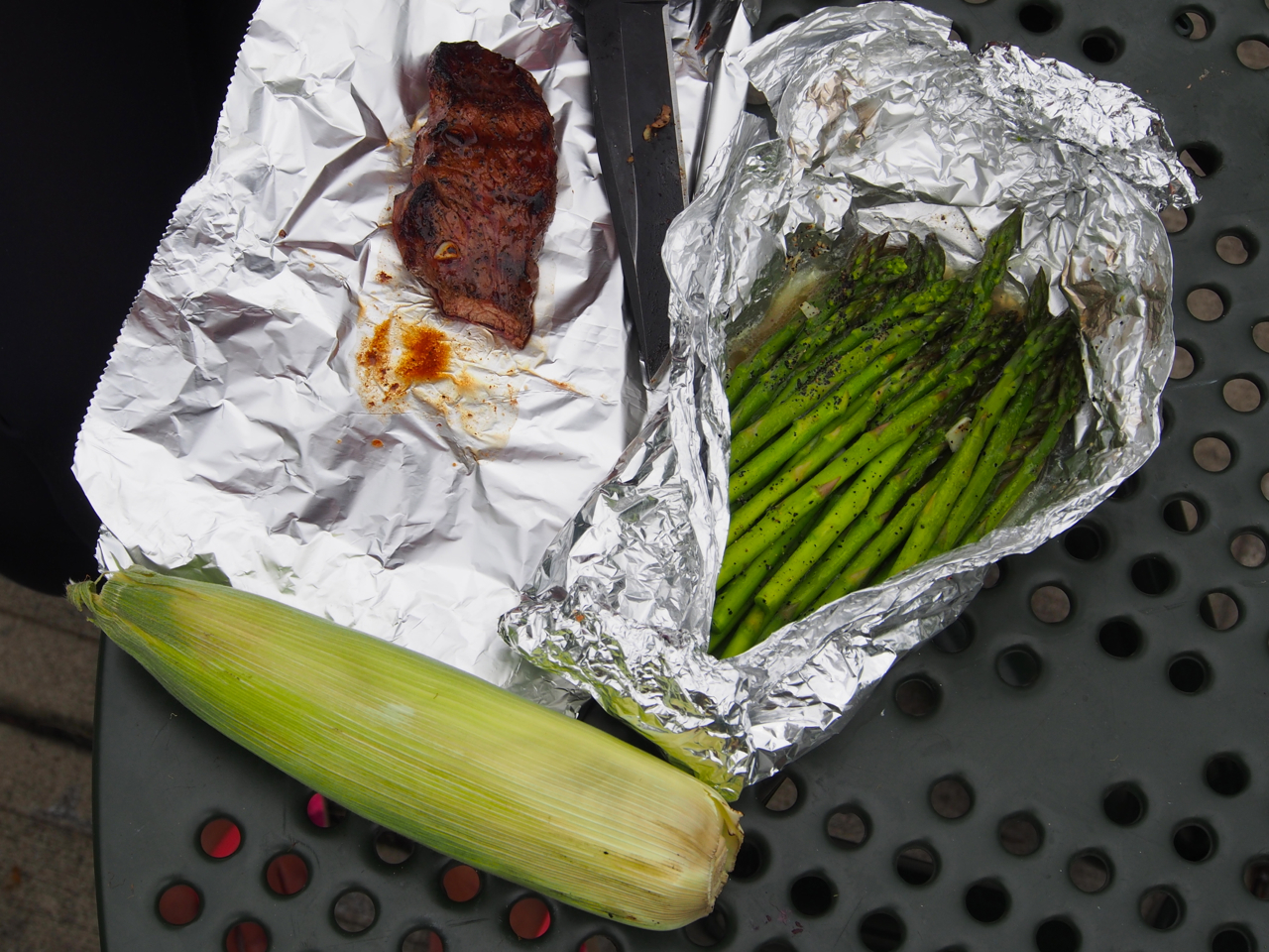
On the way to Ordway, CO, we stopped in a small cafe in Sugar City that had a very authentic, retro feel. Prices were reasonable, too. Eyna’s set lunch of pulled pork was only $5.50, including two sides and coffee.
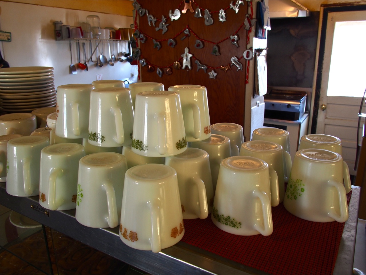
Everything in the place looked vintage, right down to the coffee mugs.
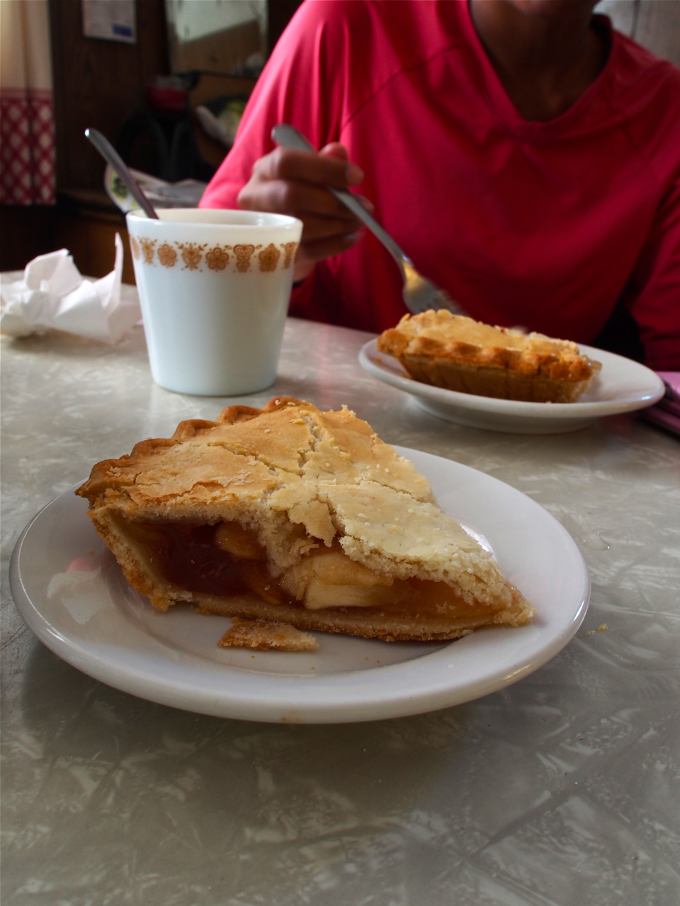
The pie looked delicious, but we discovered the baker used some sort of gelatinous filler layered between the apples. The only disappointing aspect of the Sugar City Cafe…
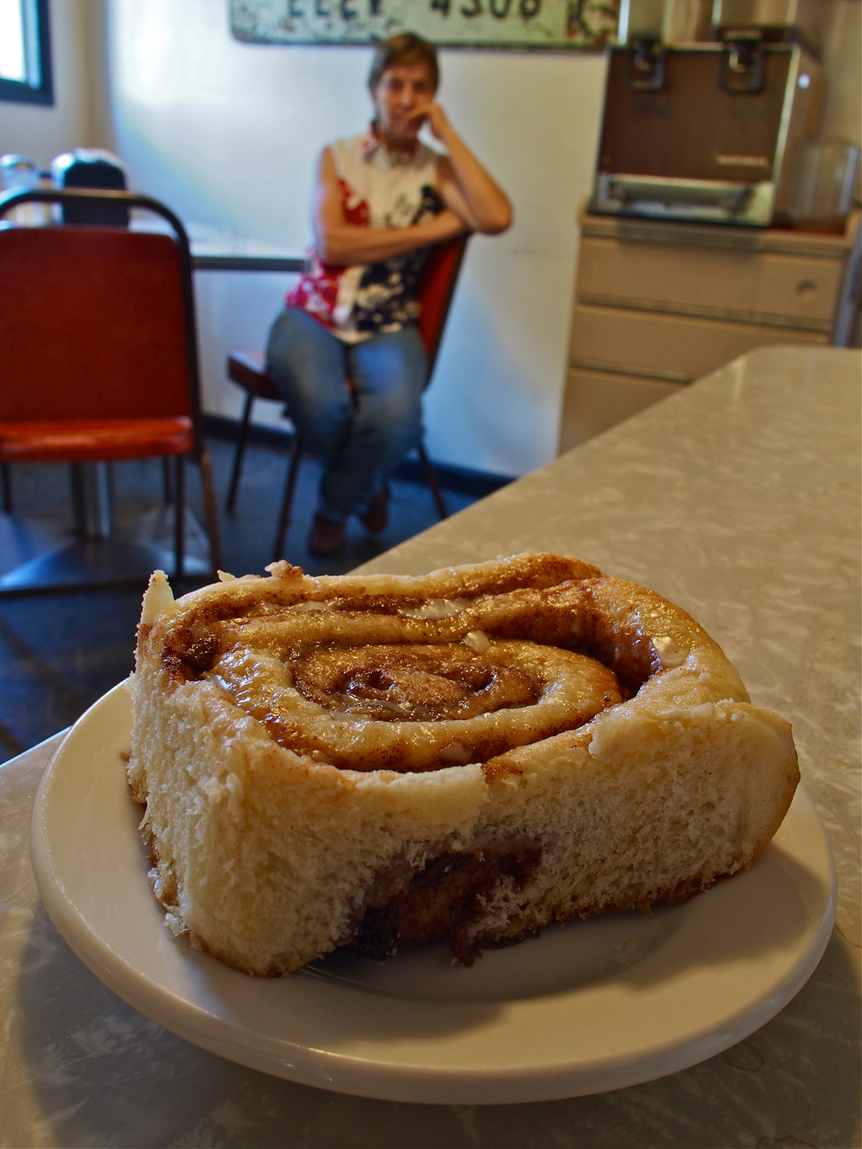
A generously portioned cinnamon bun. That would be the mercurial owner-operator of the Sugar City Cafe perched in the background.
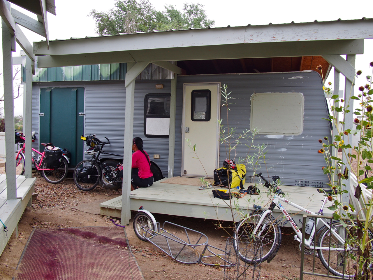
We picked up some intel at the Sugar City Cafe about an accommodation opportunity in the nearby town of Ordway. The rumors turned out to be true, and a few hours later we found ourselves staked out in a modified RV on a farm just outside of town.
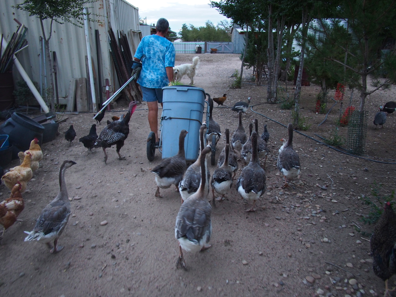
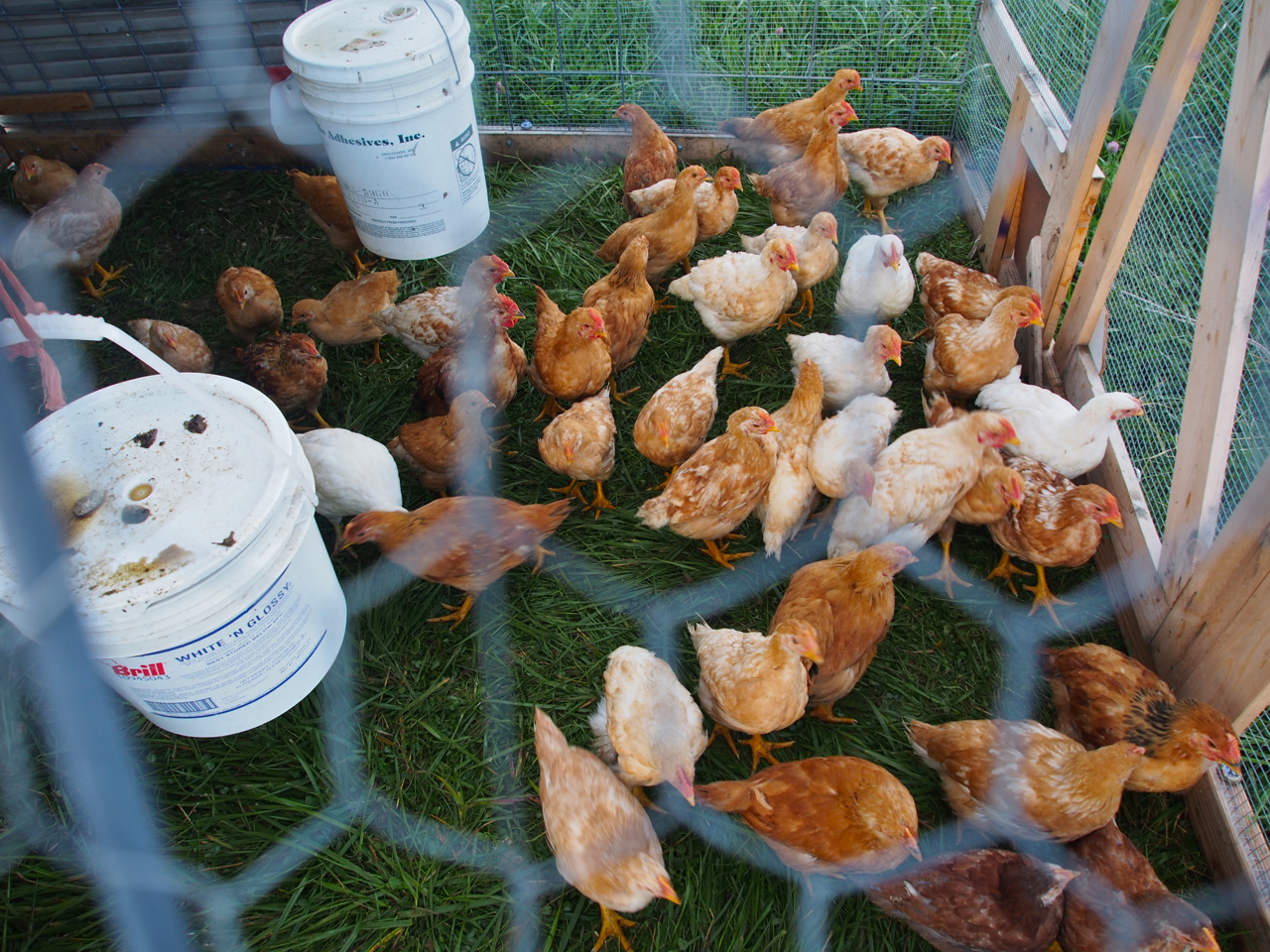
The owner, Gillian, is an expat from New Zealand. She seems to devote most of her time, money, and property to caring for stray critters: turkeys, geese, ducks, chickens, guinea fowl, goats, dogs, horses…and cyclists.
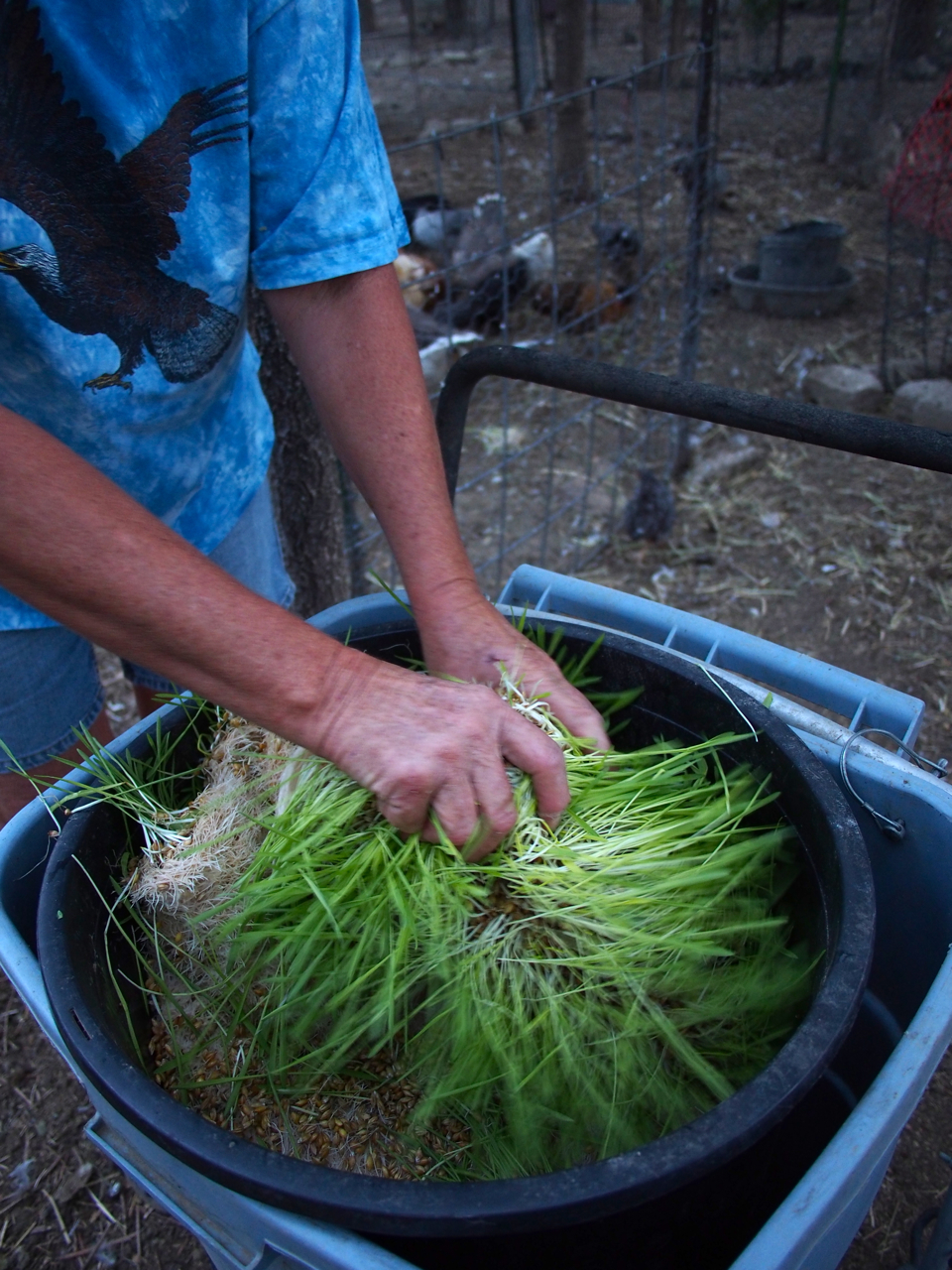
Most of the animals ate barley sprouts. I’m still not sure exactly how they earned their sprouts, though. I don’t think any of them were ever butchered or sold.
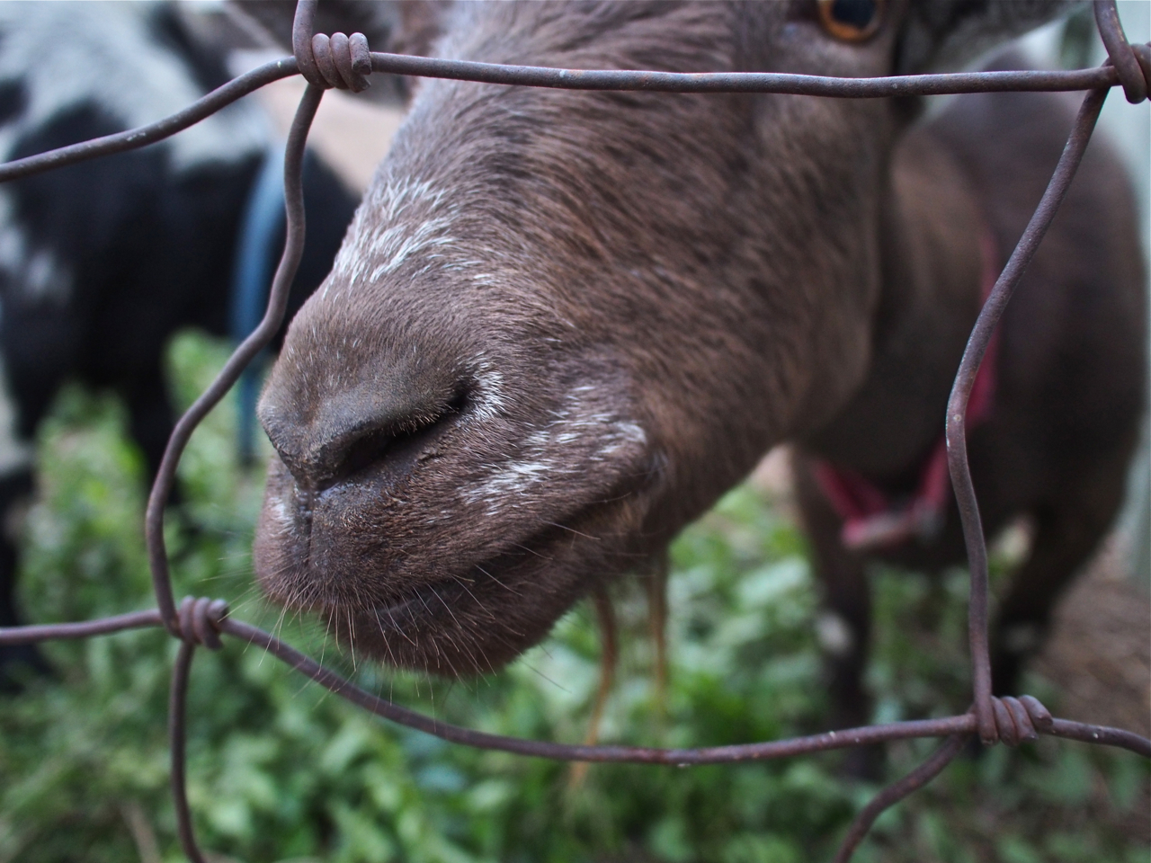
The only animals that didn’t eat barley fodder were the goats. Apparently, they have a taste for clippings from shrubs and bushes that grow around Gillian’s home.
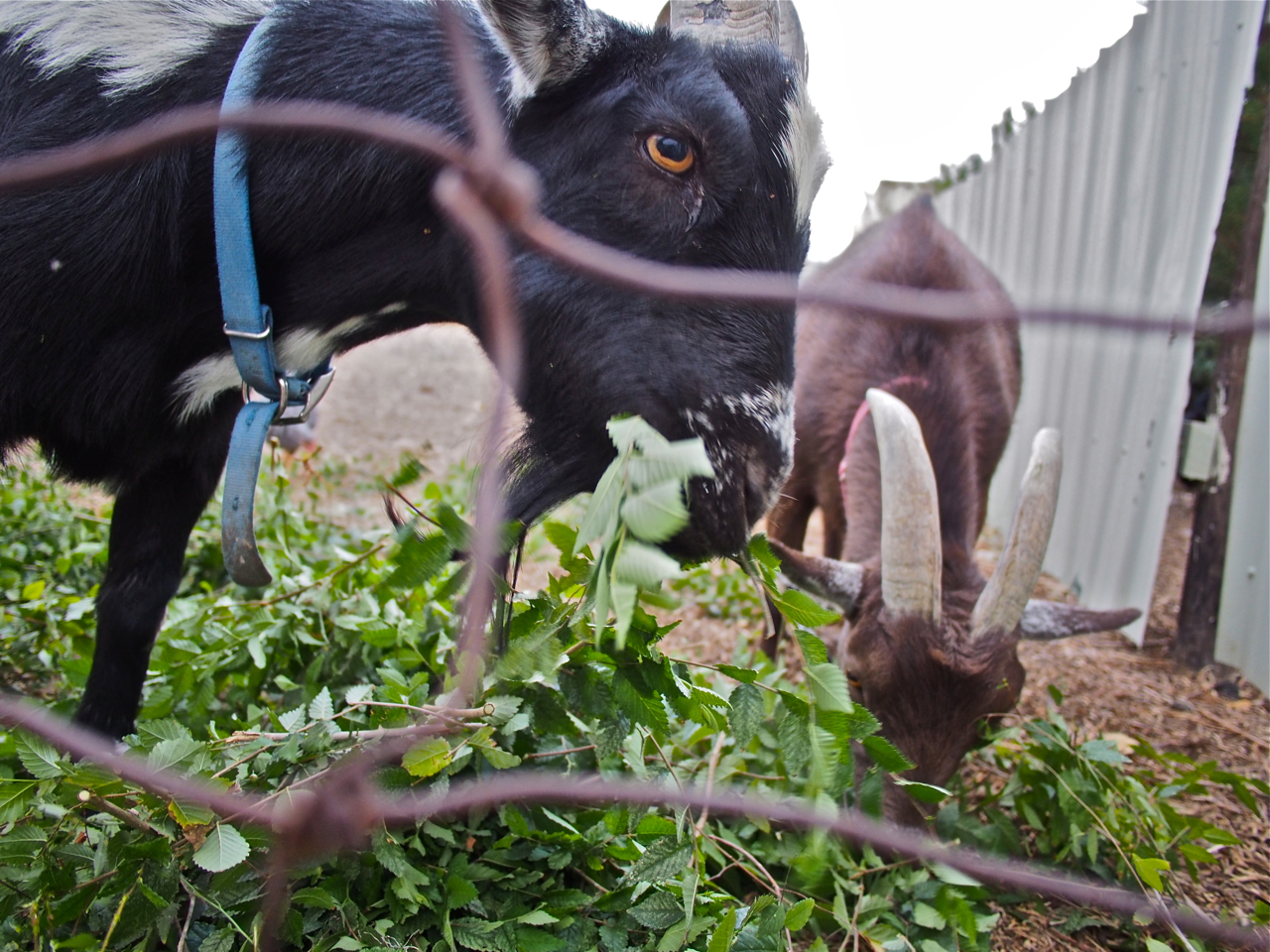
Here they are snacking on some fresh clippings.
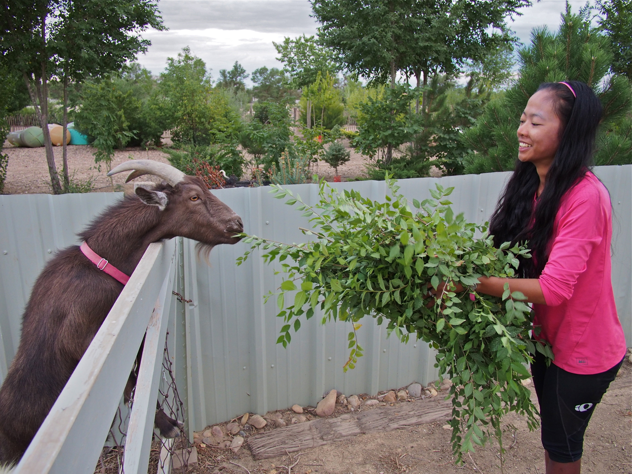
Eyna and I helped out by cutting down some overgrown shrubs and then feeding the clippings to the goats.
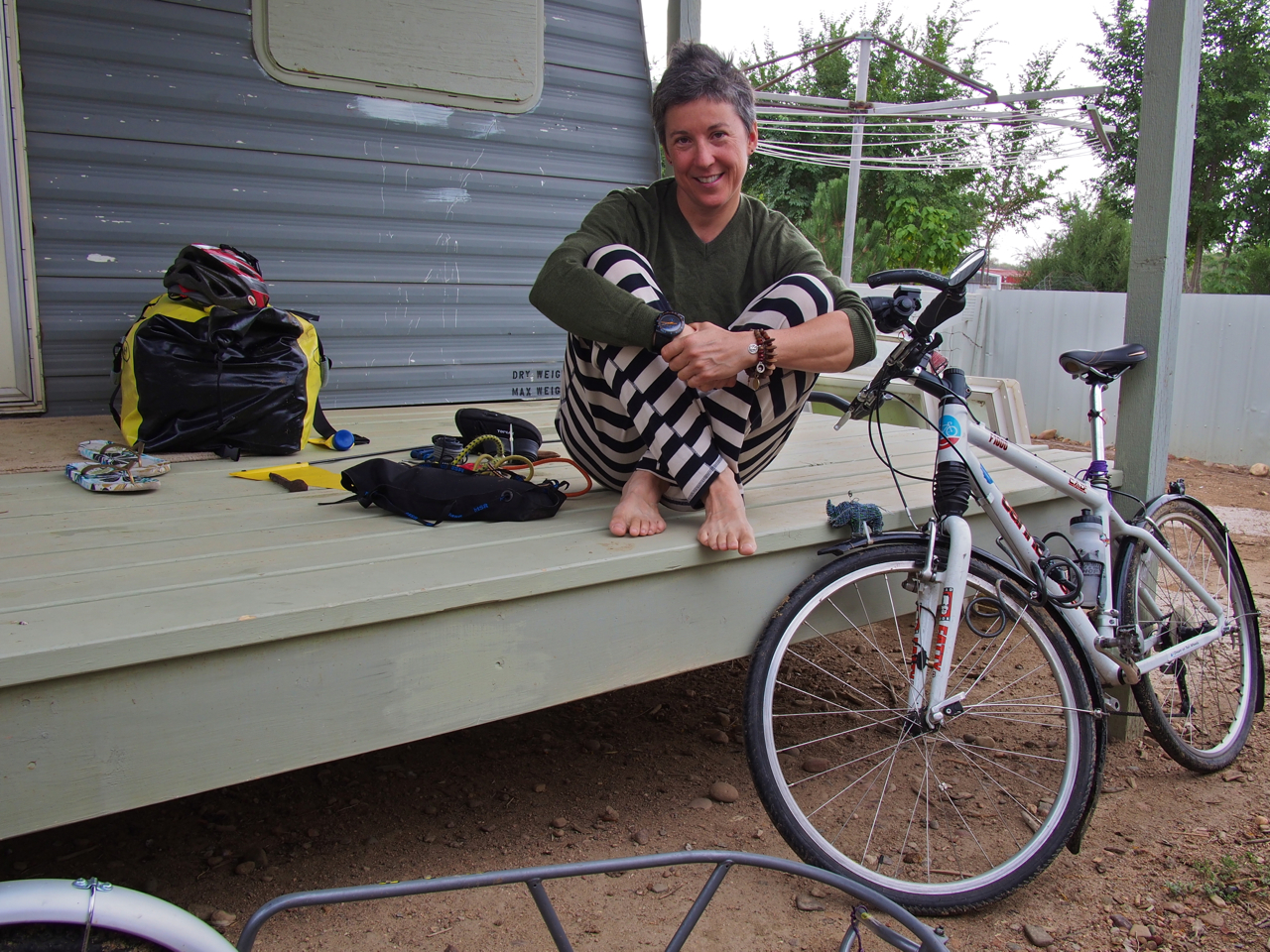
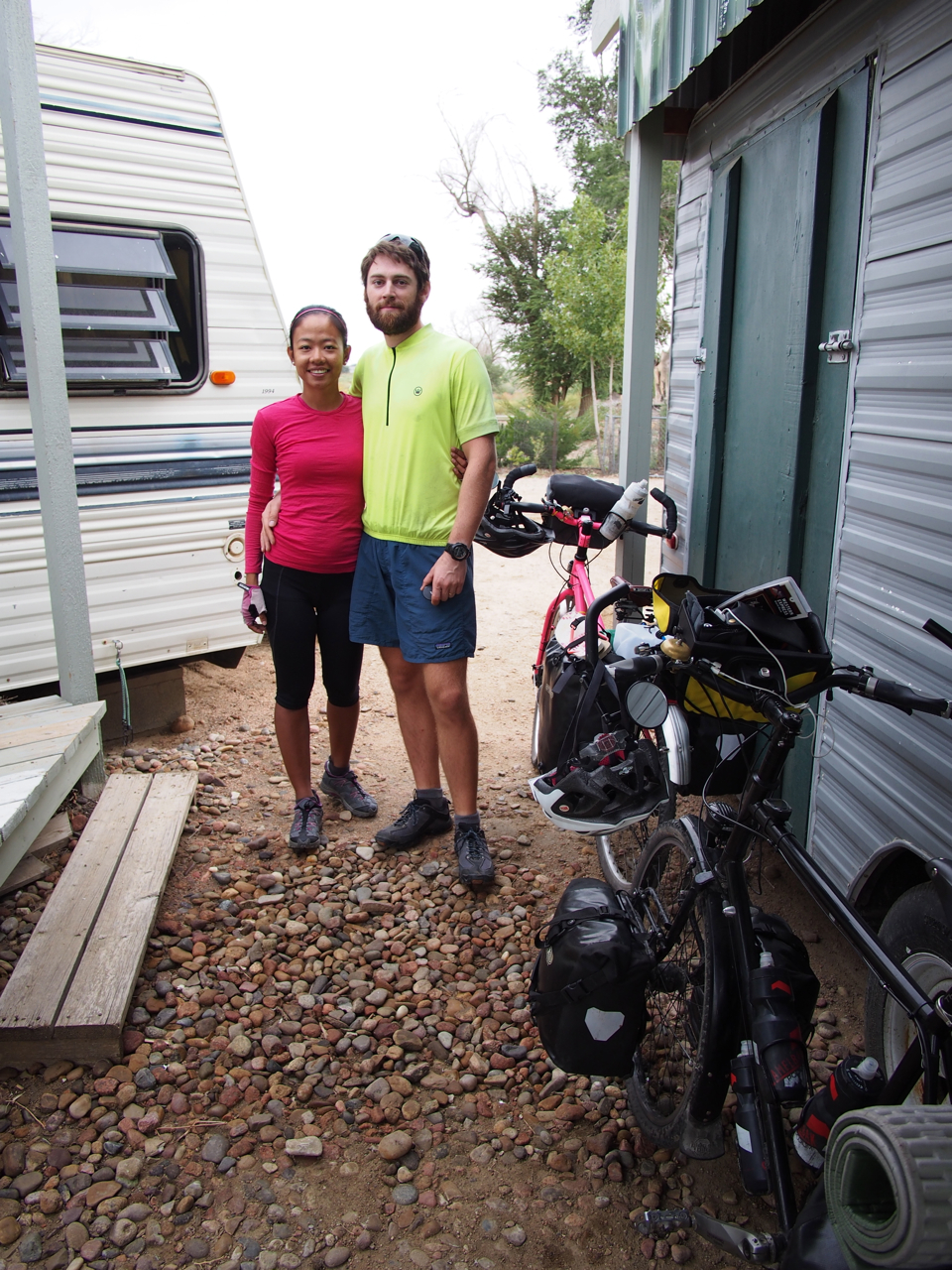
That afternoon another long distance cyclist arrived at Gillians. Anne Marie was heading east on a 1998 Cannondale mountain bike. We exchanged contact info before we departed, and that’s when we realized that Anne Marie was another Kane on a bike.
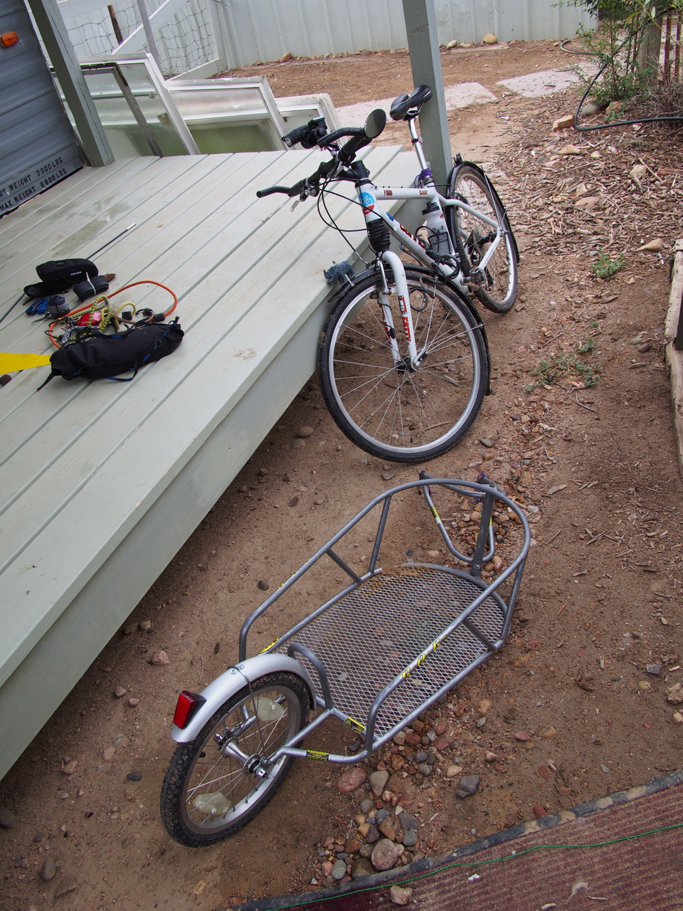
Ms. Anne Marie Kane was pulling a B.O.B. trailer (pictured in the foreground), rather than toting bicycle-mounted racks and panniers. The B.O.B., or Beast of Burden, has a lower profile, creates less wind resistance, and reduces wear and tear on the bike, but it is also heavier than racks and panniers, creates more rolling resistance, and adds another wheel that can break, wear out, or go flat.
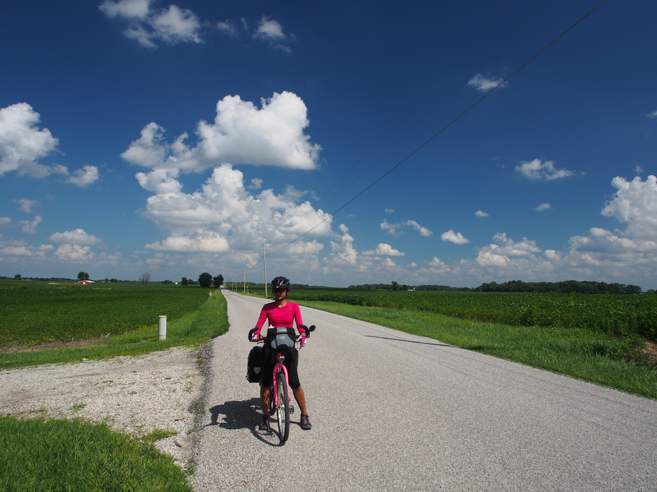
Just before we turn our handlebars toward Pueblo, CO…
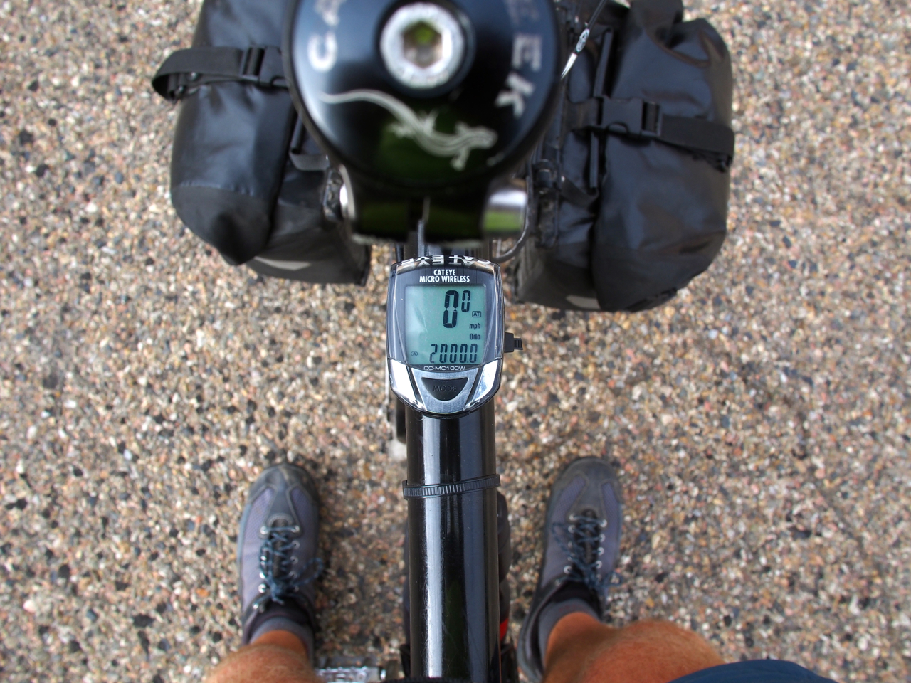
We crossed the 2,000 mile mark on our way out of Ordway.
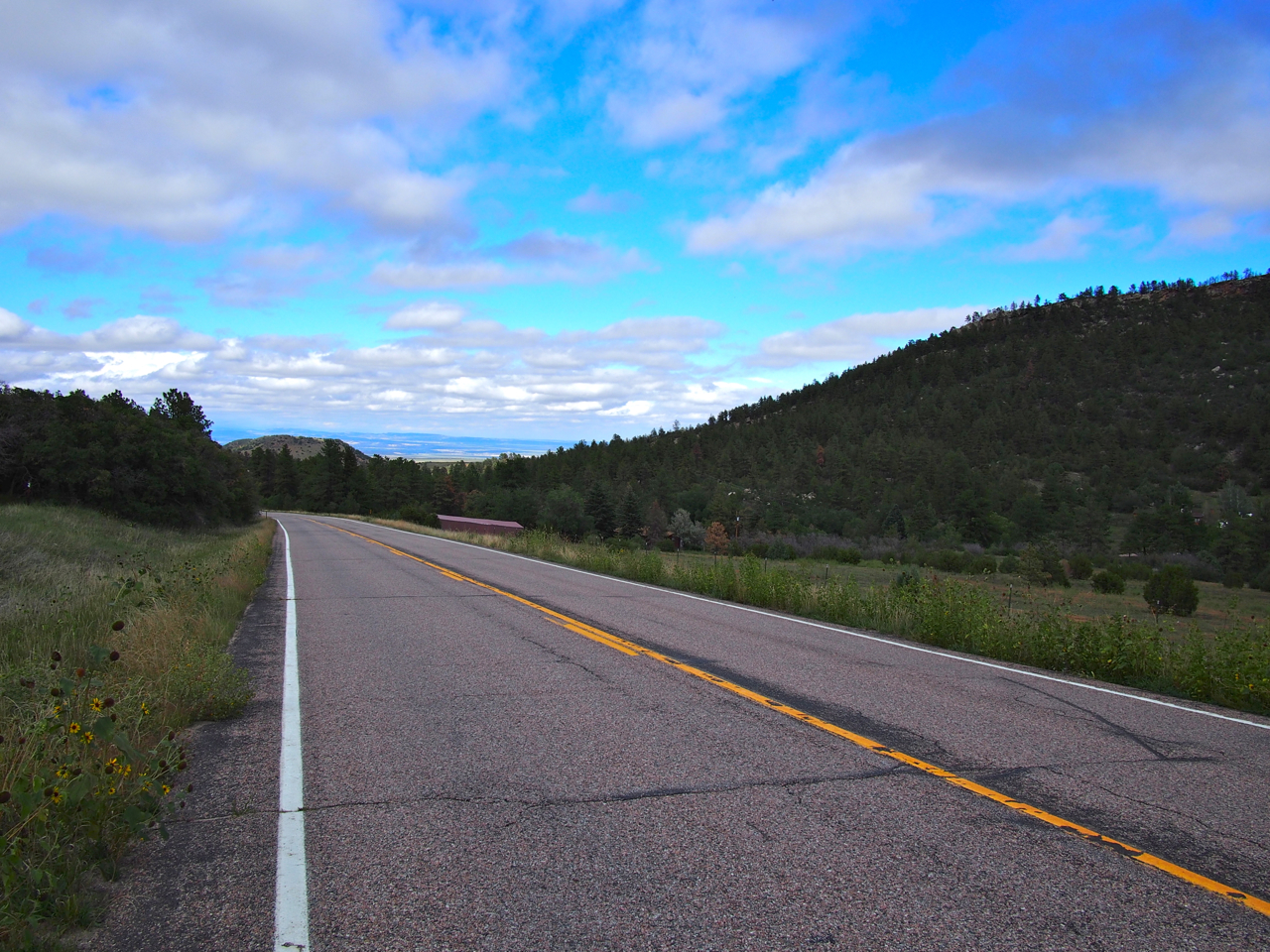
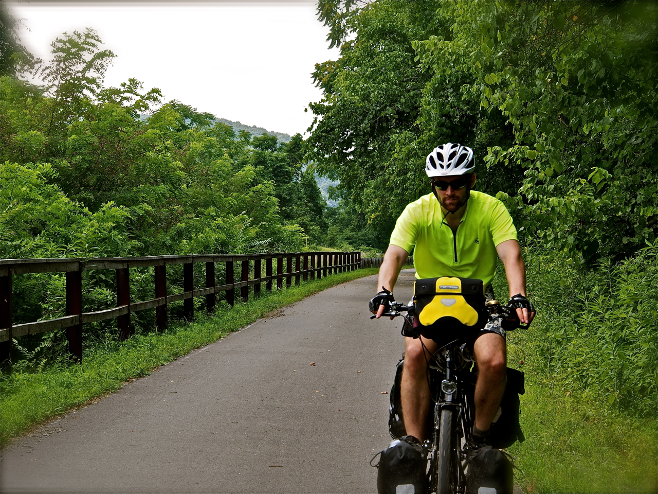
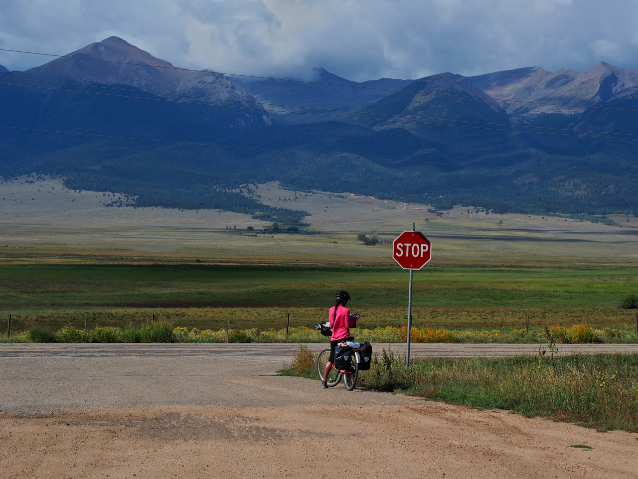
After resting in Pueblo, CO for a few days it was time to head into the mountains. The idea of riding a bicycle laden with gear across high passes was intimidating, but the climb out of Pueblo was fairly gentle at first.
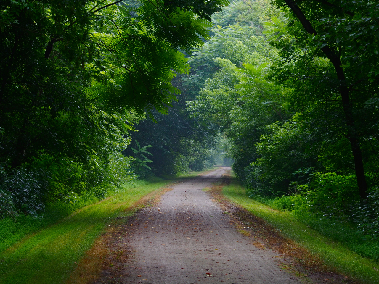
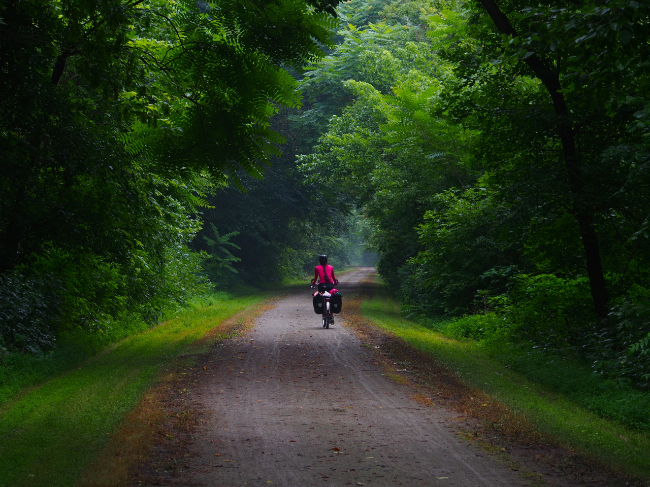
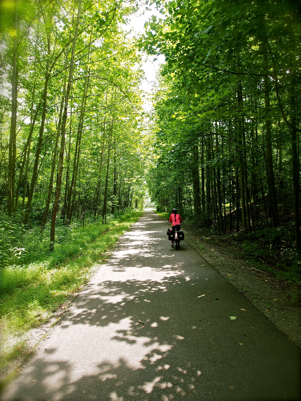
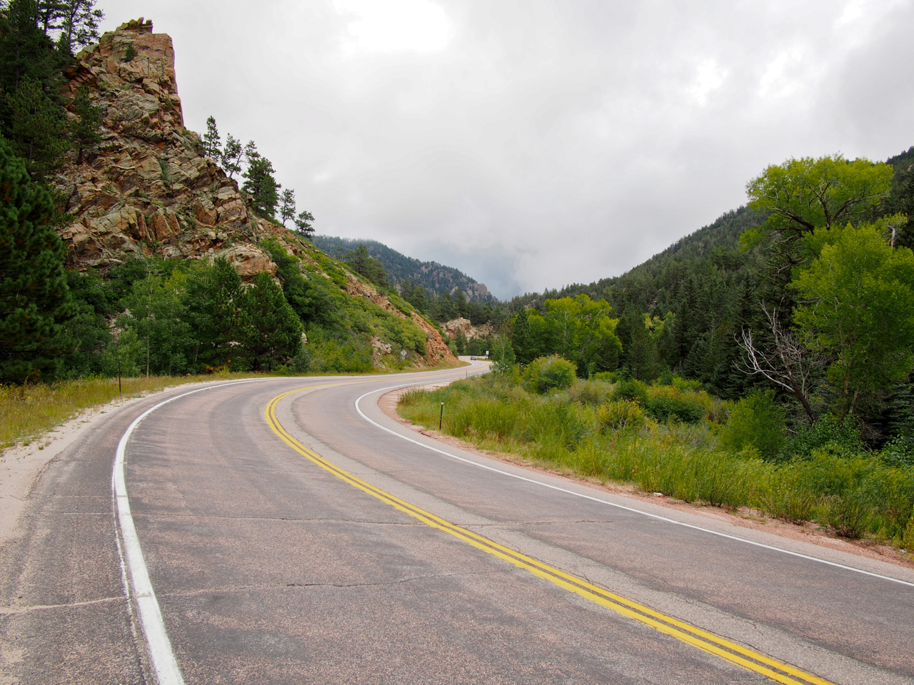
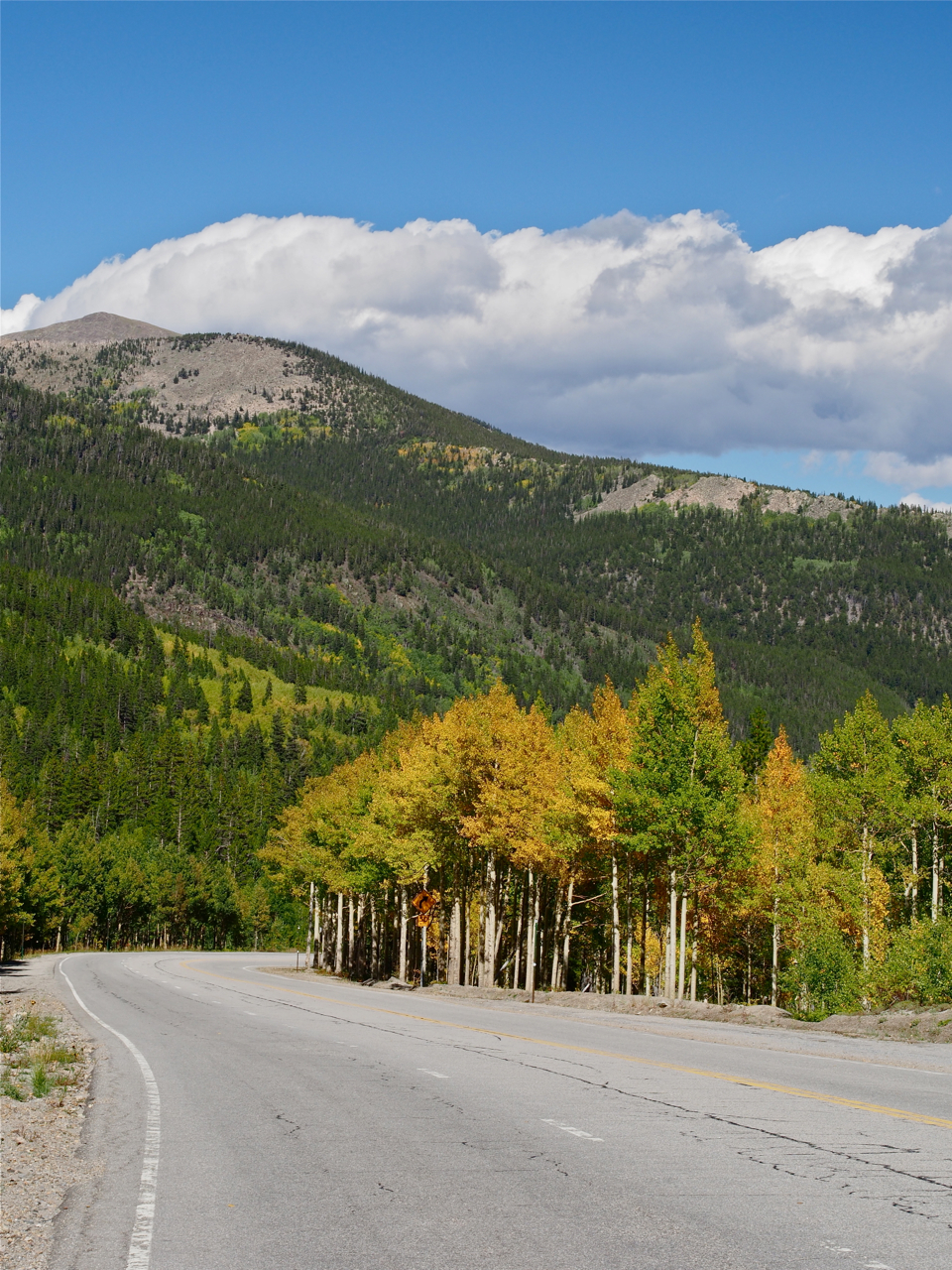
The road wound through the foothills…

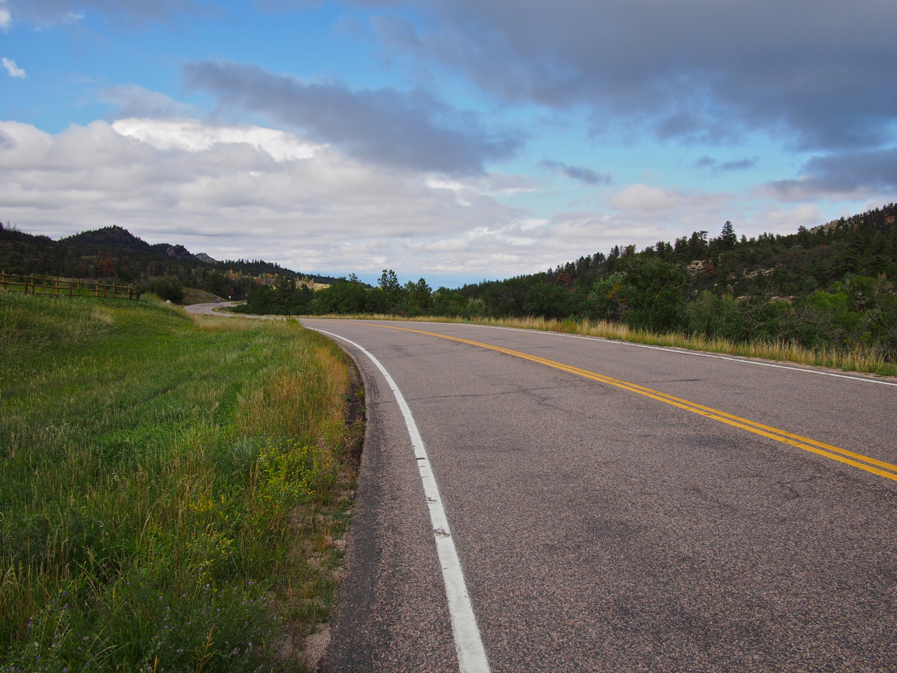
…and between grassy meadows…
…into coniferous forests…
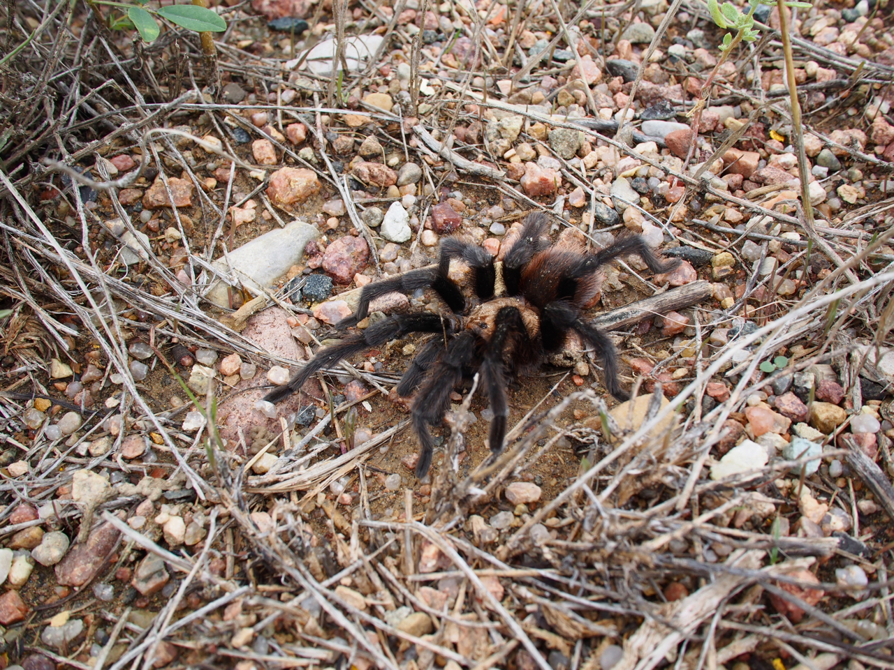
…past giant, hairy tarantulas…
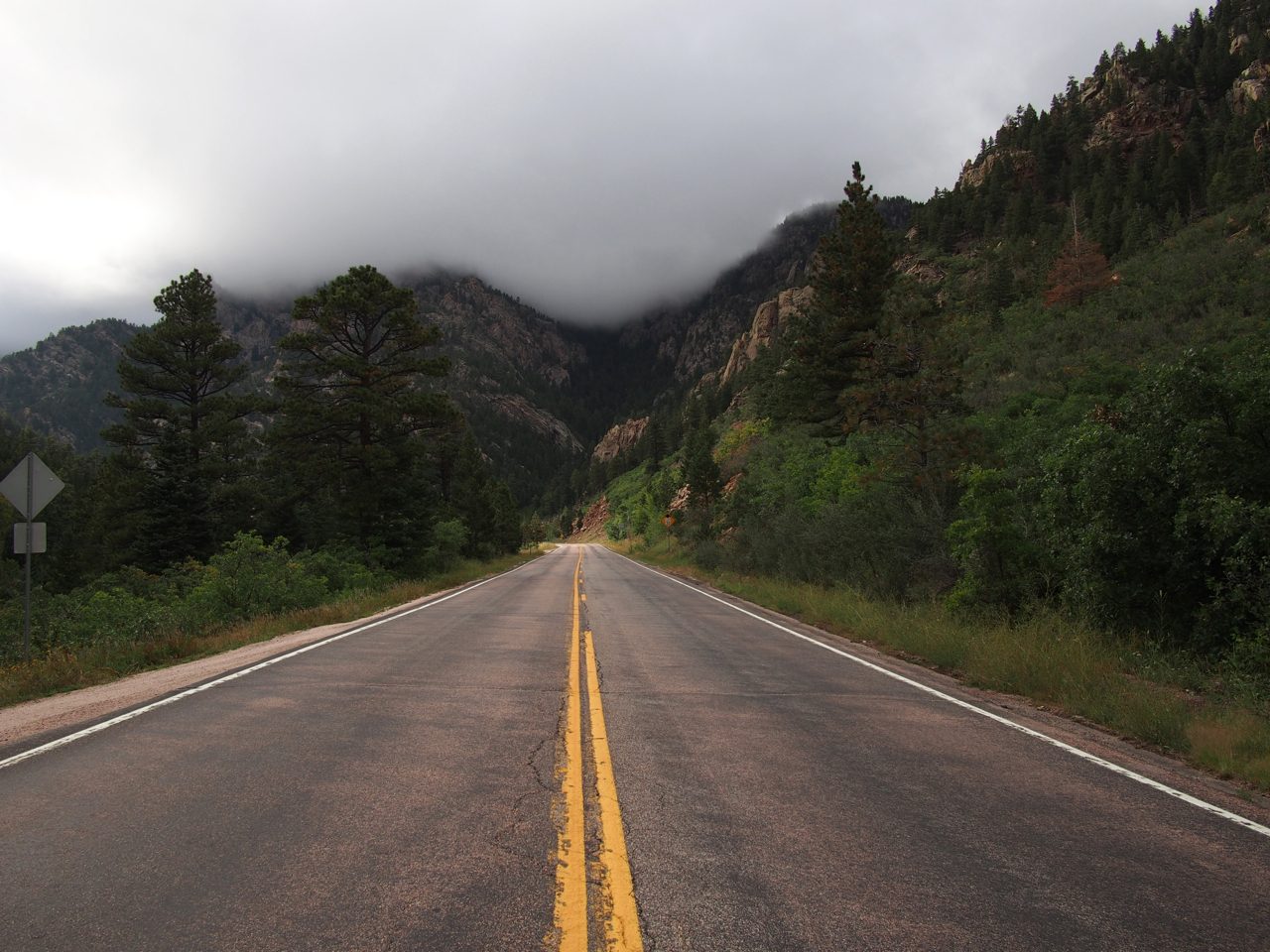
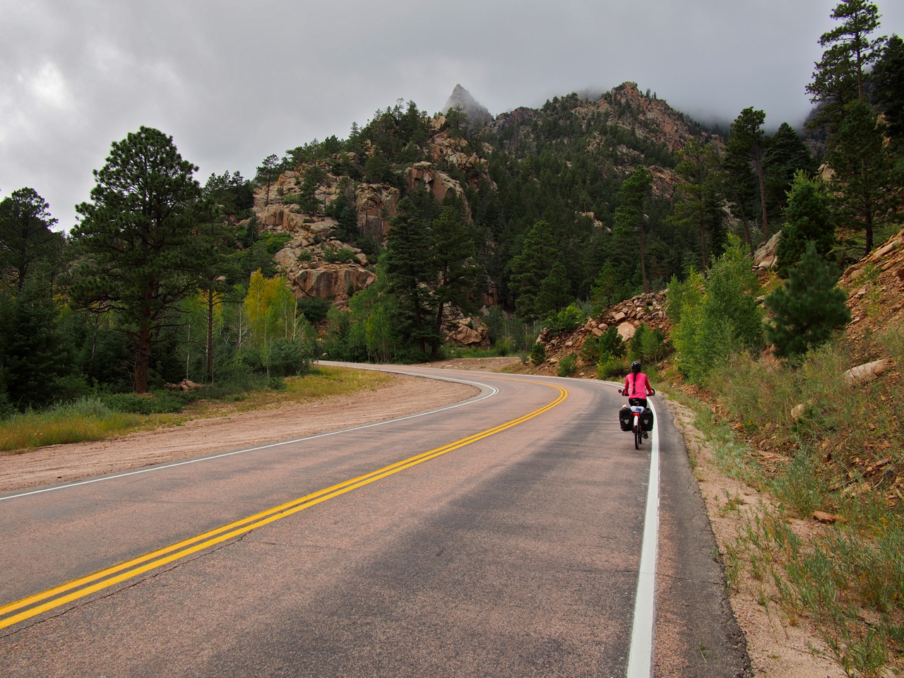
…toward imposing, craggy peaks, shrouded in mist…
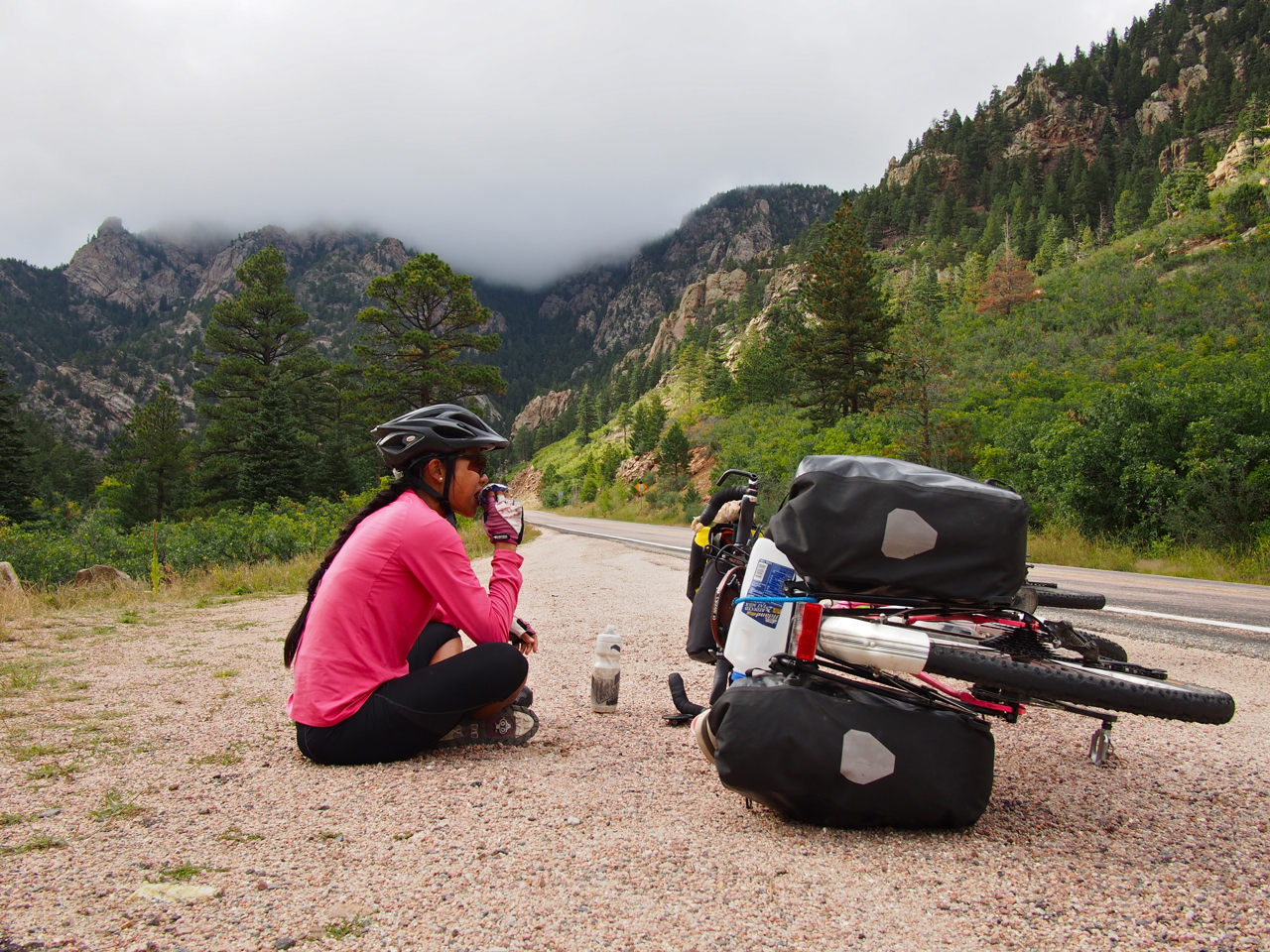
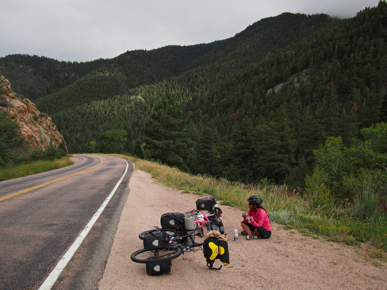
…to a place where we decided to rest and eat several Snickers bars.
But time was of the essence, so we pressed on.
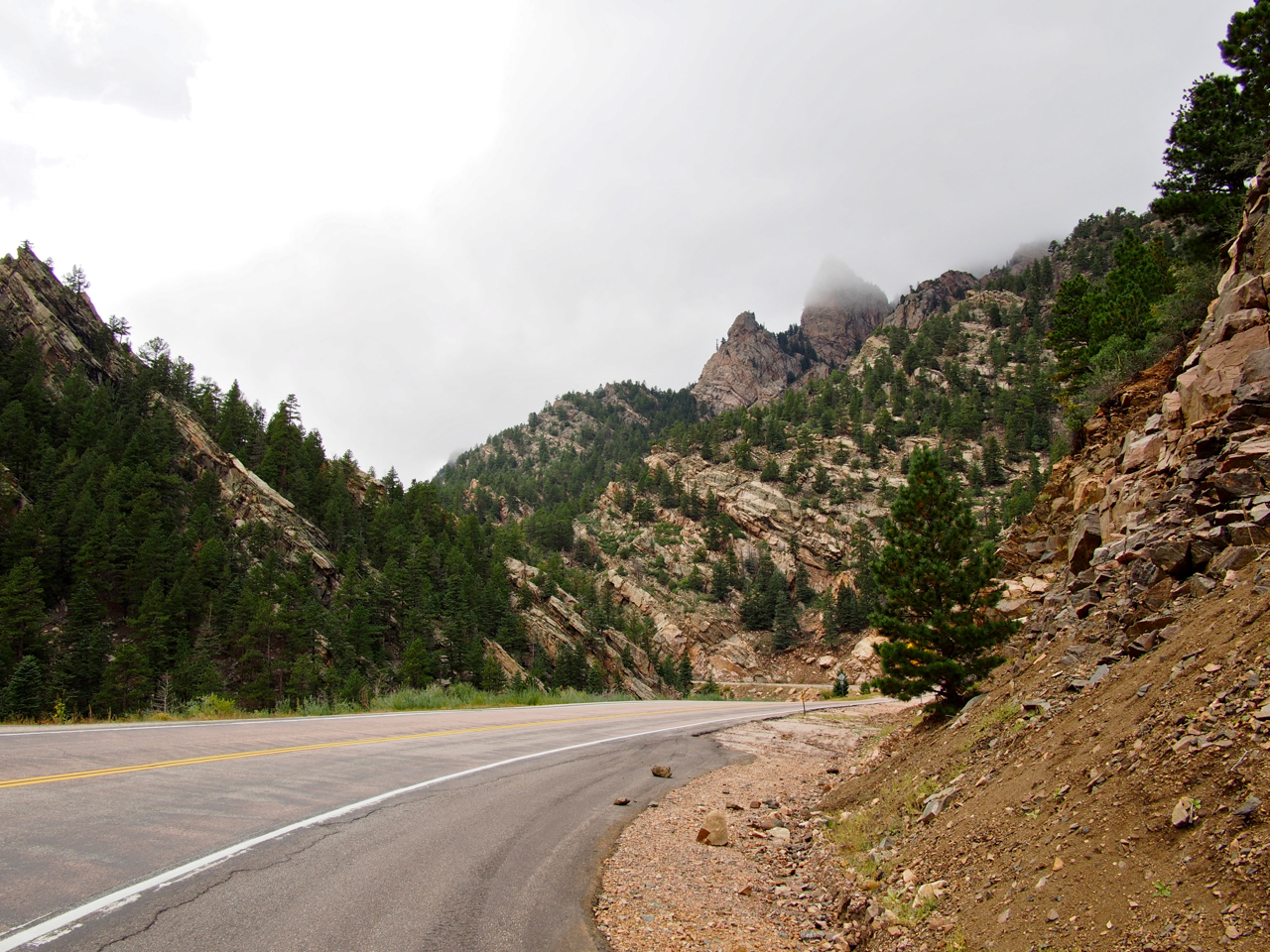
The mountains became rockier and steeper.
And steeper…
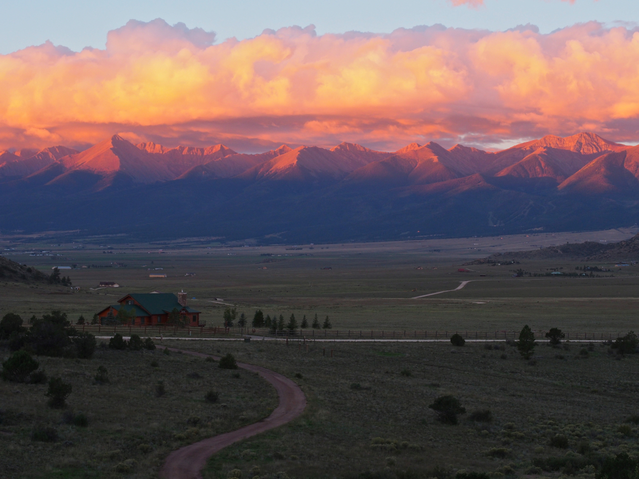
Eventually we made it over the pass and dropped into a broad valley. At the bottom of the valley was the small town of Westcliffe, CO.

…and outside Westcliffe, nestled at the foot of a rocky outcropping, was the home of our Warm Showers host, Bob.

Bob put us up in a studio apartment that he had built over his garage for relatives visiting from out of town.
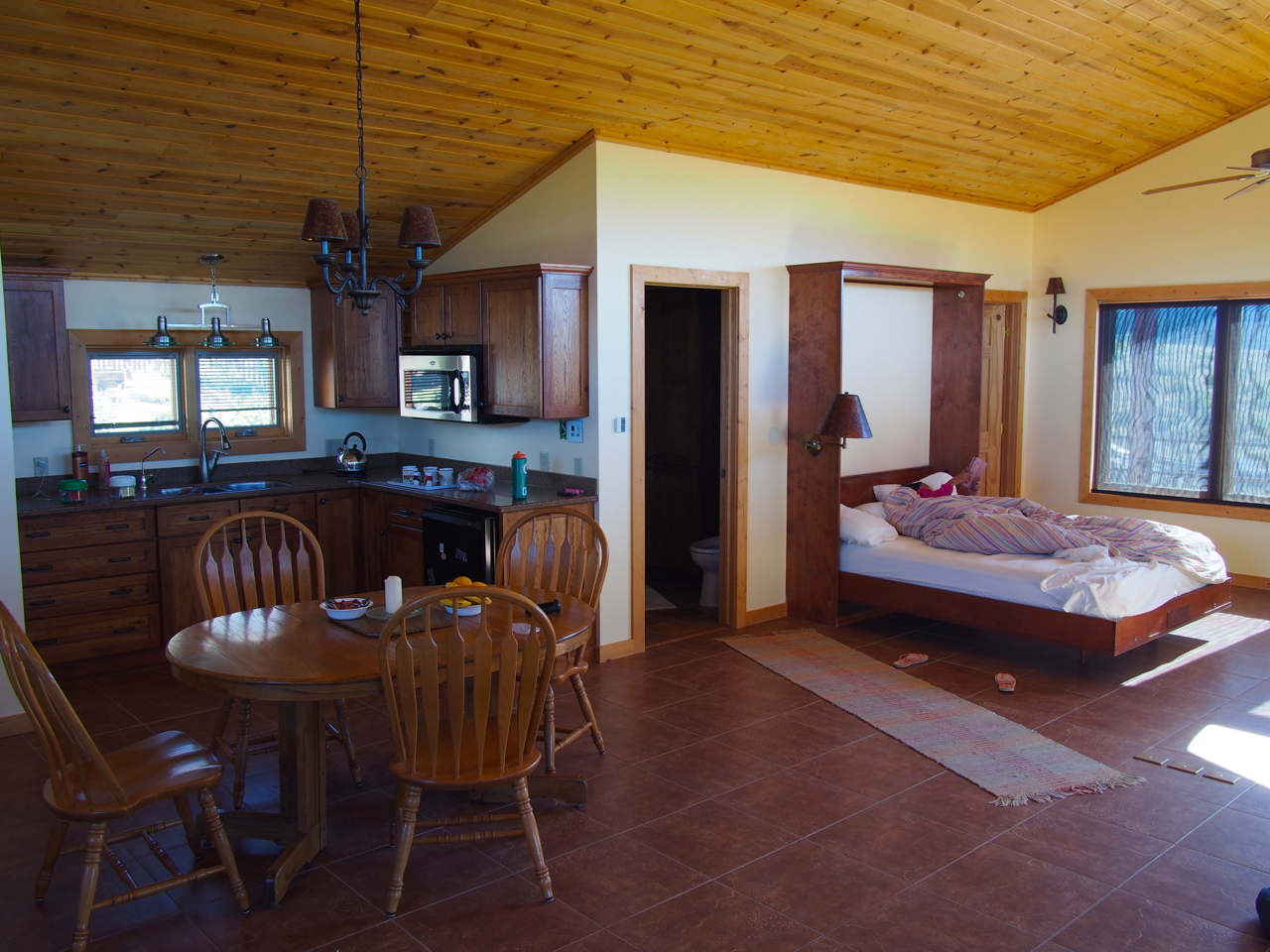
The apartment had a heated tile floor, and a jacuzzi in the bathroom.
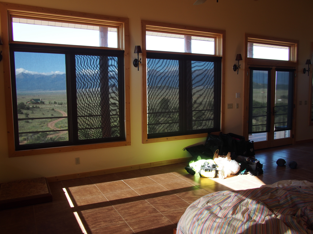
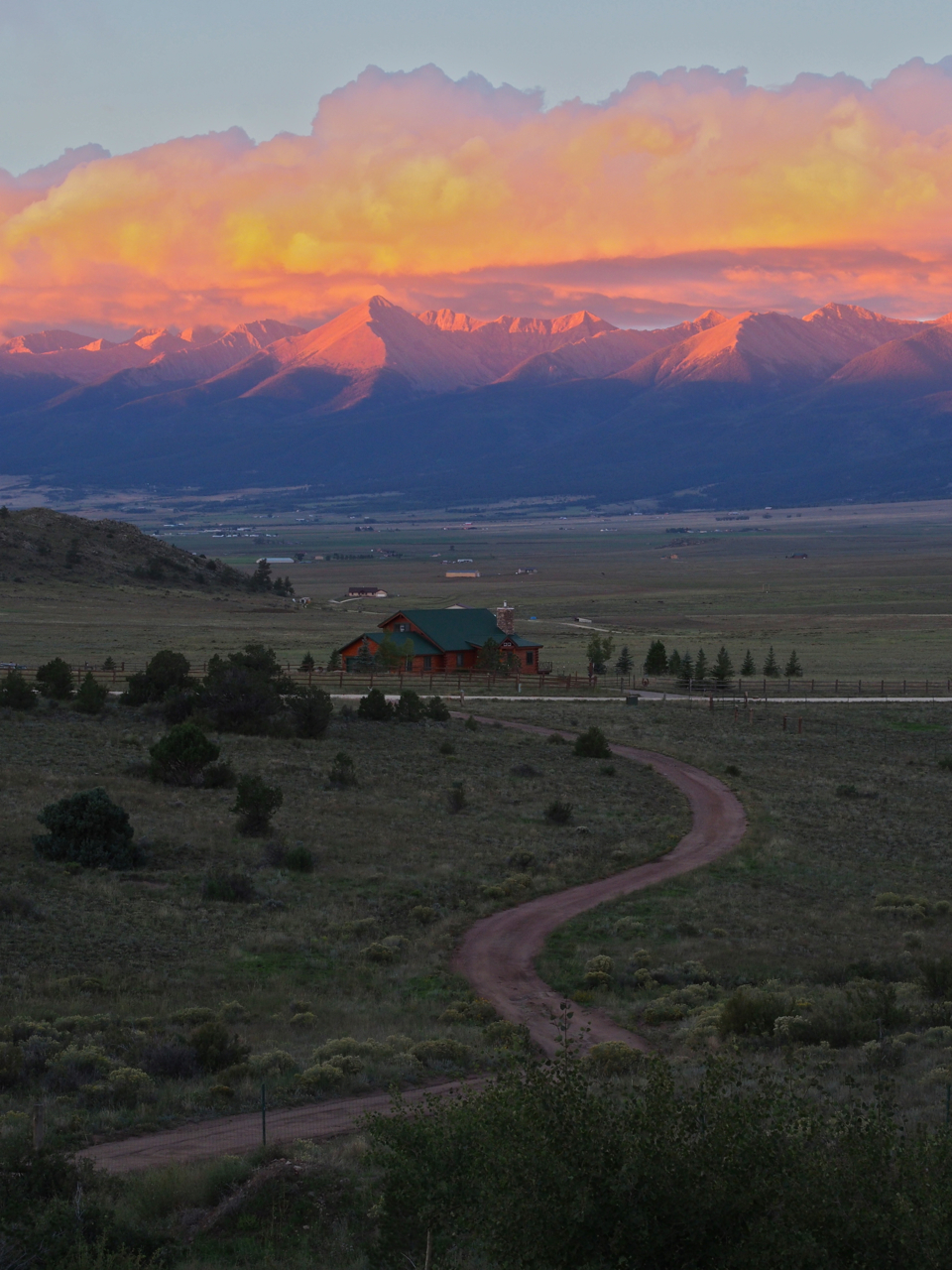
The front of the apartment is lined with huge windows that look out over the Westcliffe valley and the Sangre de Cristo Mountains.
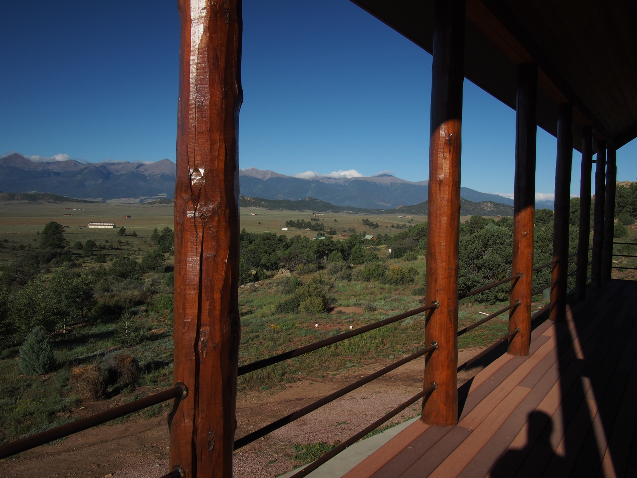
There is also a wrap-around balcony that provides even better views.
View #1 from the balcony
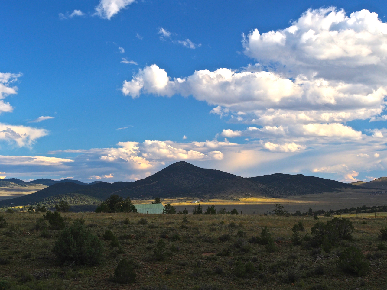
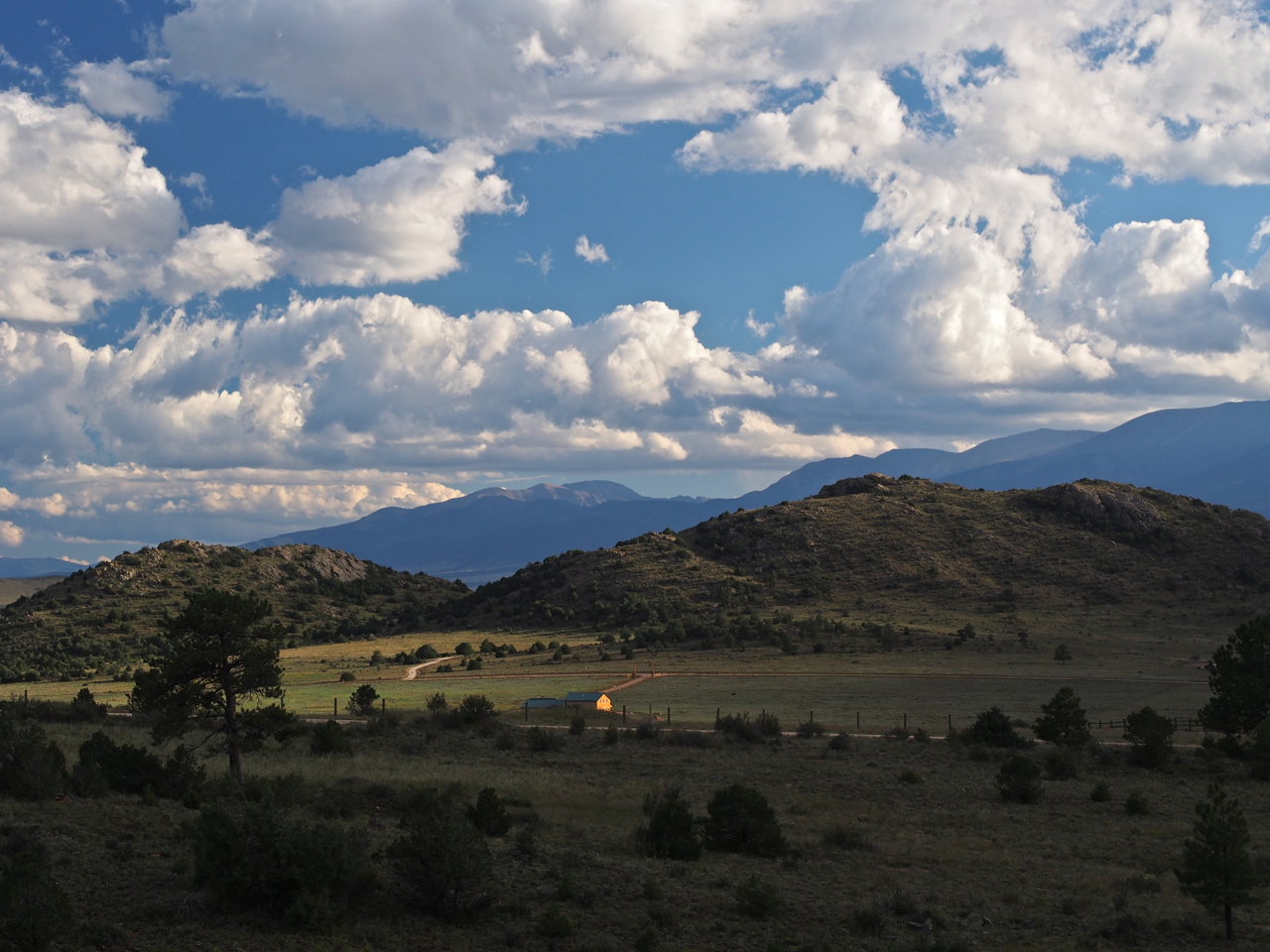
View #2 from the balcony
View #3 from the balcony
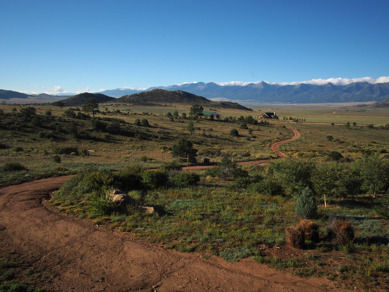
Looking down Bob’s driveway.
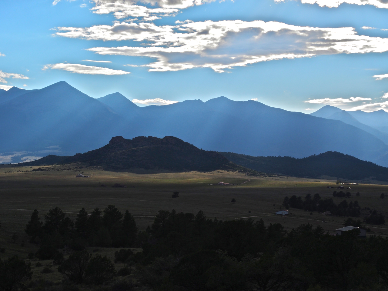
The Sangre de Cristo Mountains at sunrise
A view from the balcony at sunrise.
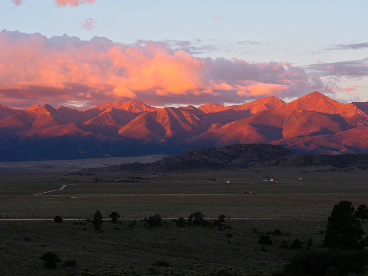
One more sunrise view from the balcony…
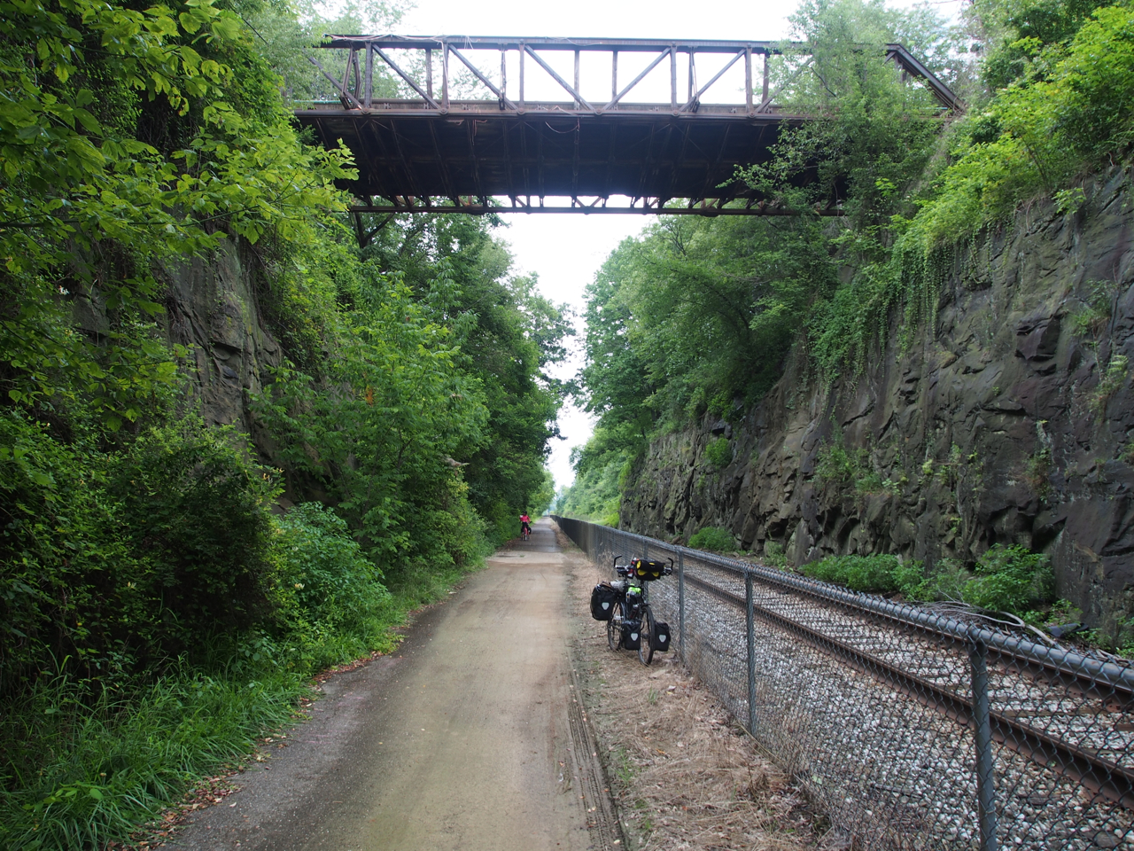
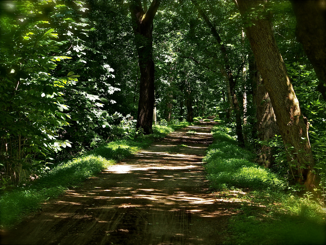
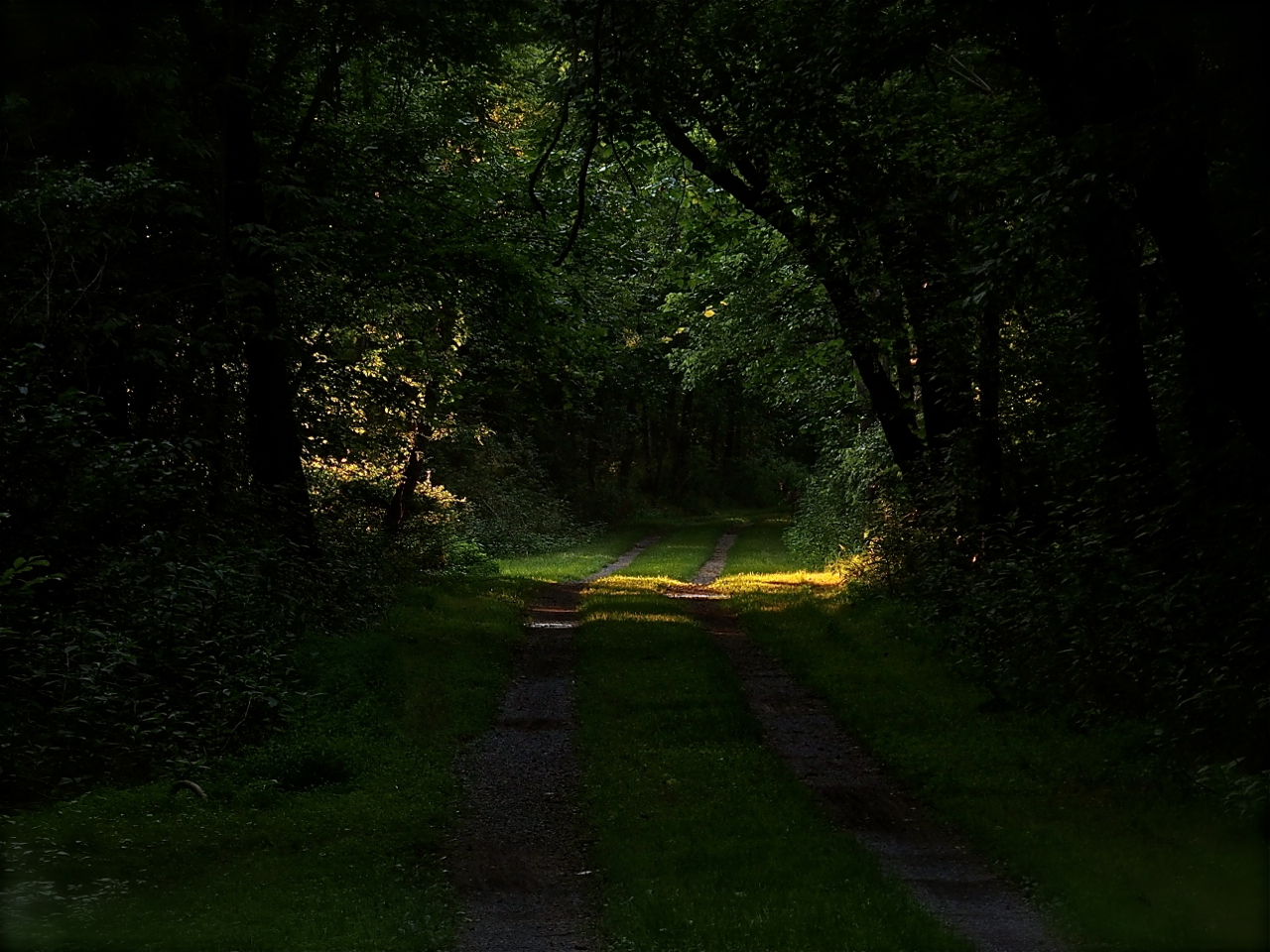
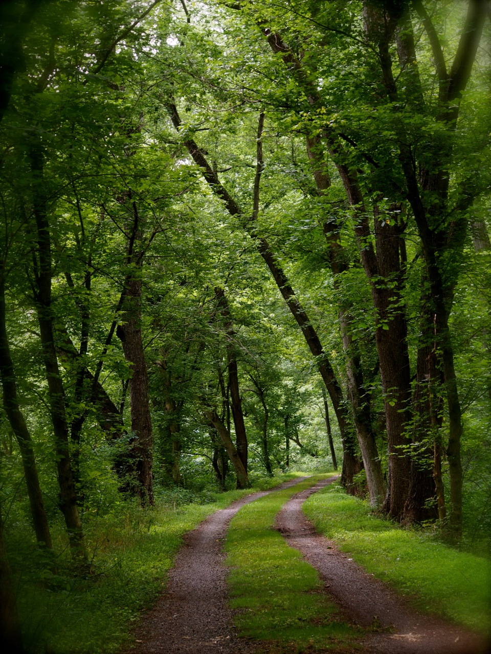
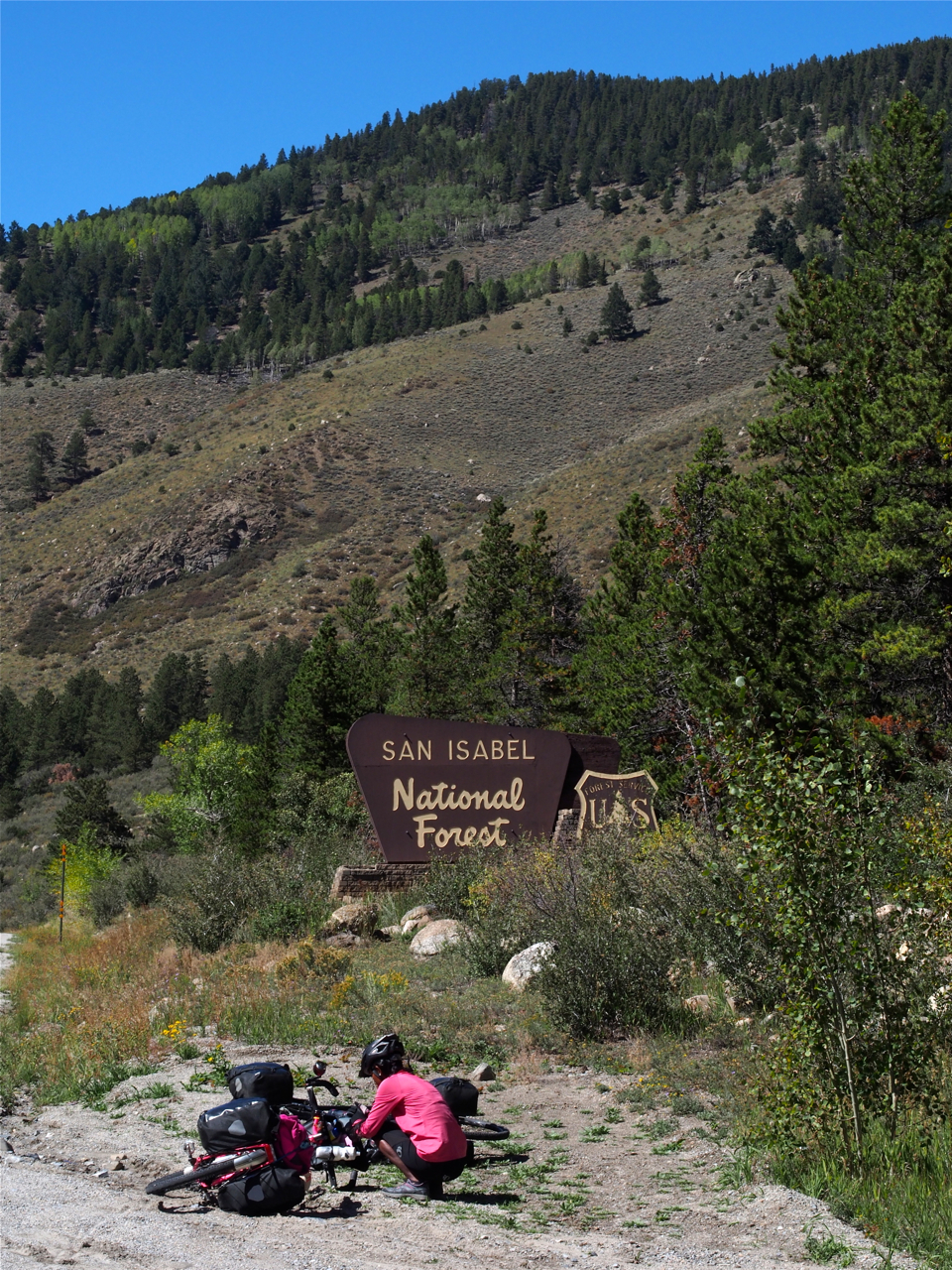
The ride away from Bob’s home put us on dirt roads for about five miles.
We struggled against a stiff headwind on this stretch.
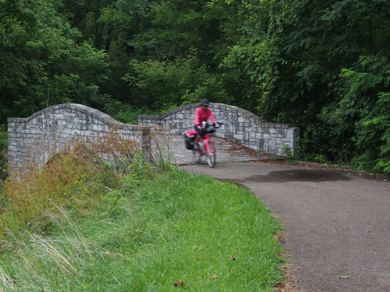
Rejoining the paved route on the way to Cotopaxi.

Scene outside Cotopaxi, CO

The ride into Cotopaxi from Westcliffe involved a 23 mile descent through beautiful mountain scenery.
Leaving Cotopaxi for Salida, CO was another story, though. For 25 miles we struggled against a strong headwind that poured through a narrow gorge, on a long–albeit gentle–climb. As if that weren’t demoralizing enough, for the last hour we also had to deal with a sustained, icy cold rain.

After being tested by the elements, we were glad that we had a warm place to land in Salida. A Warm Showers host, Karen, took us in for the evening. Here is her son’s albino corn snake.
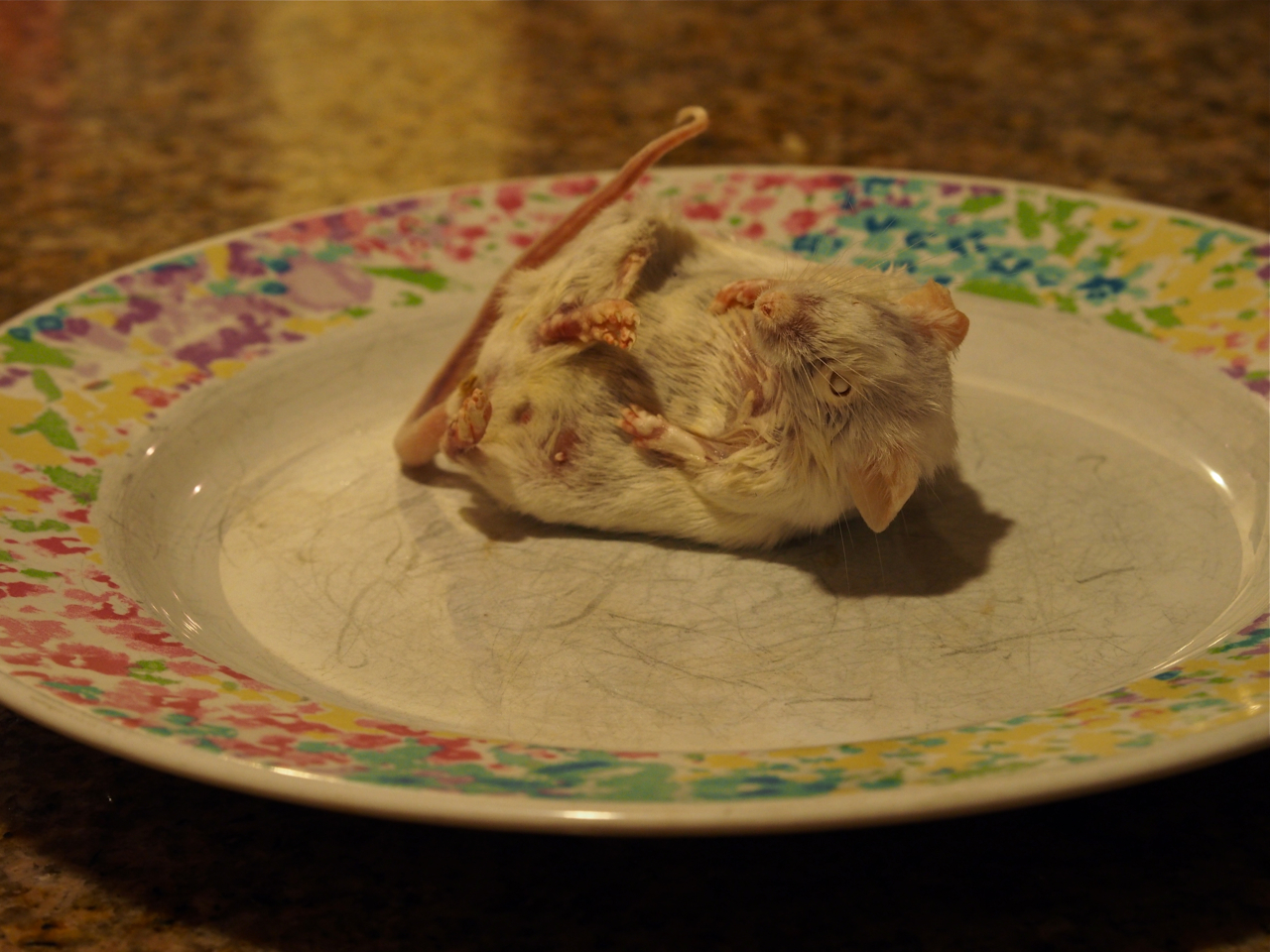
Karen keeps a gallon-size bag of dead mice in her freezer to feed to the corn snake. Once or twice a week she thaws a mouse on a plate overnight and then drops it into the tank in the morning. (Eyna and I have been hoping she has a designated mouse-thawing plate.)

The snake makes quick work of his previously frozen meal. Here’s the mouse sliding down the hatch, with the tail still protruding from the snake’s mouth.
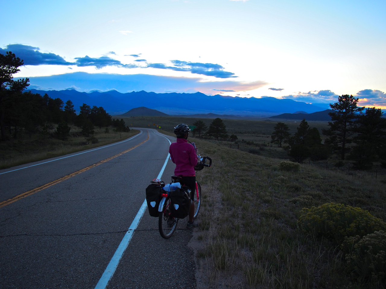
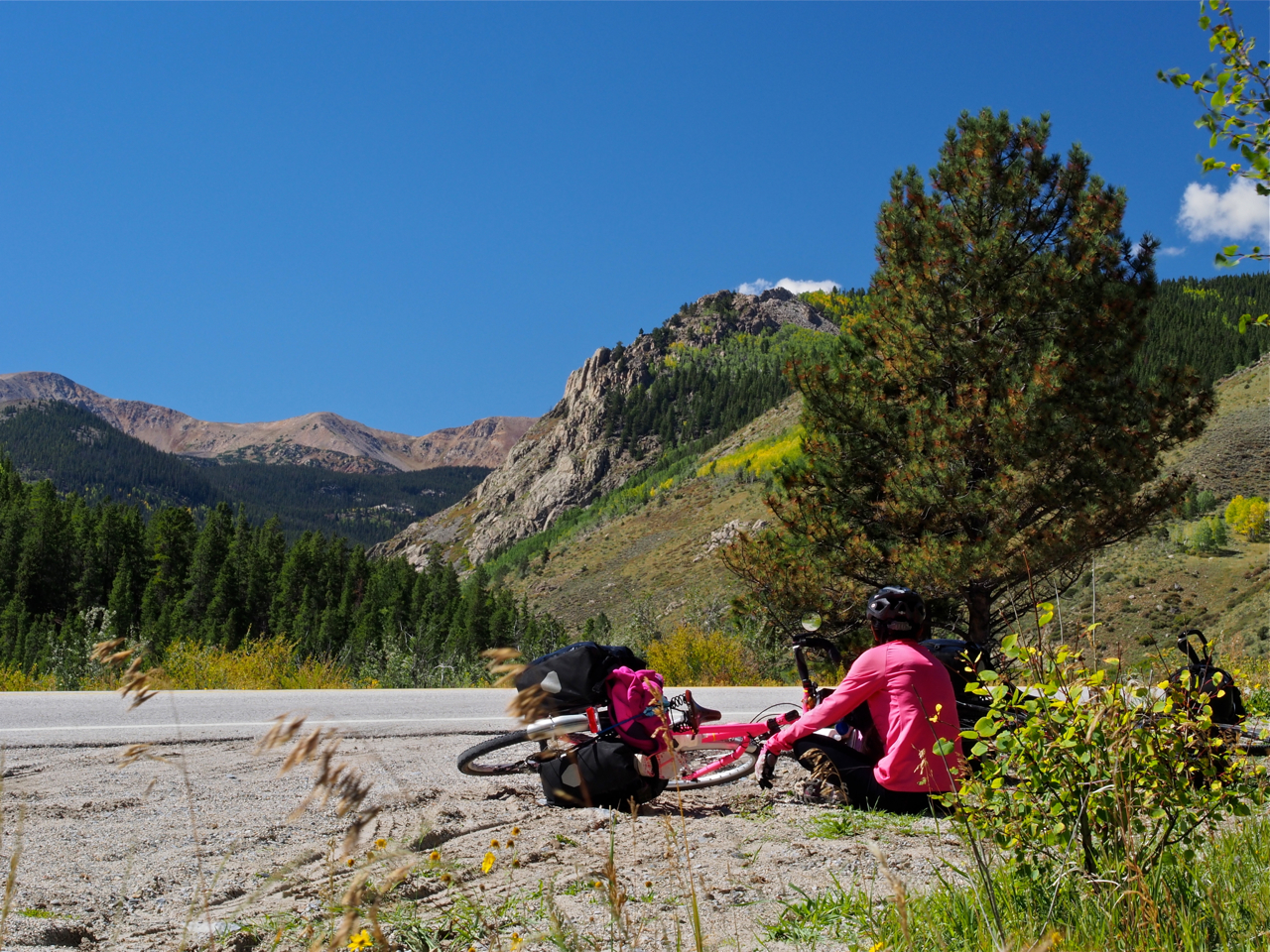
Salida was the last stop before the climb over 11,312 foot Monarch Pass. Eyna and I tried to prepare ourselves mentally and emotionally for the challenge that lay ahead as we slowly rolled toward the mountains lurking on the horizon.
We tried to take it slow, to avoid burning out before we reached the top of the pass.
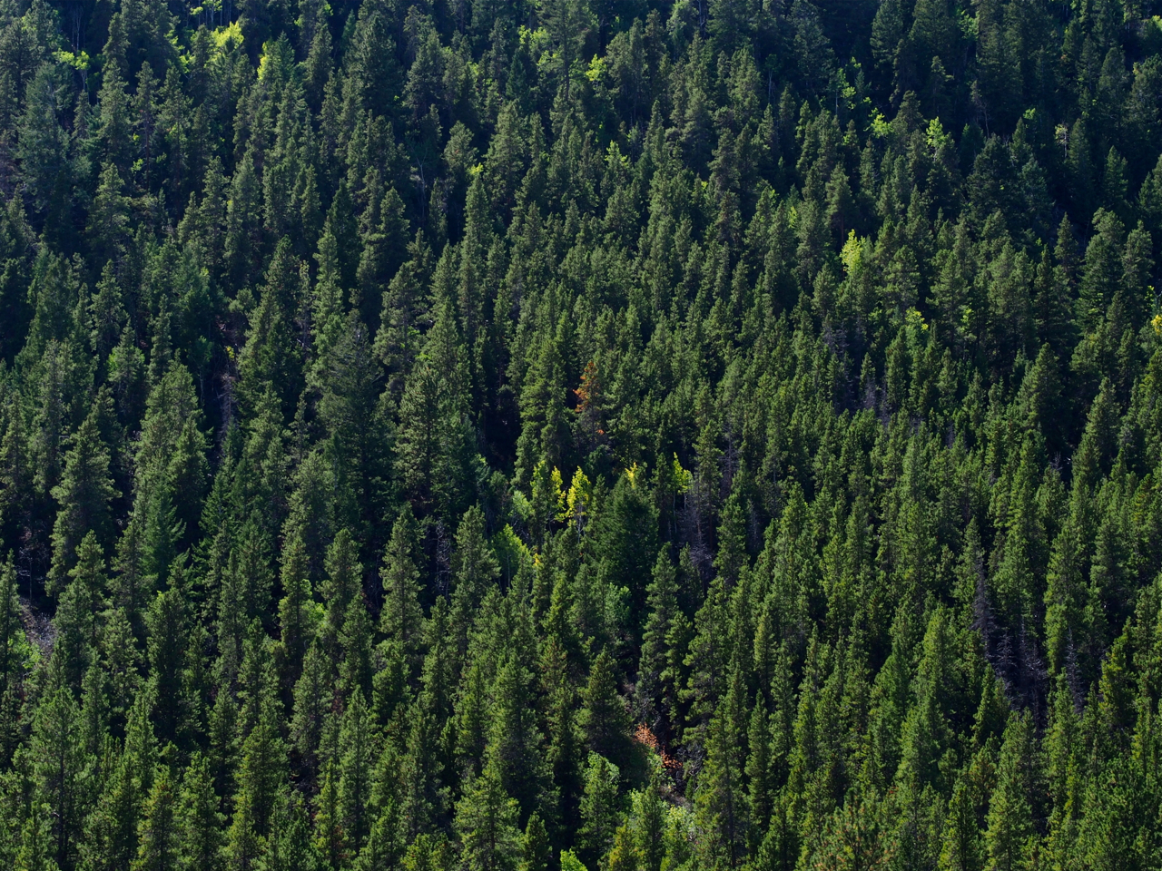
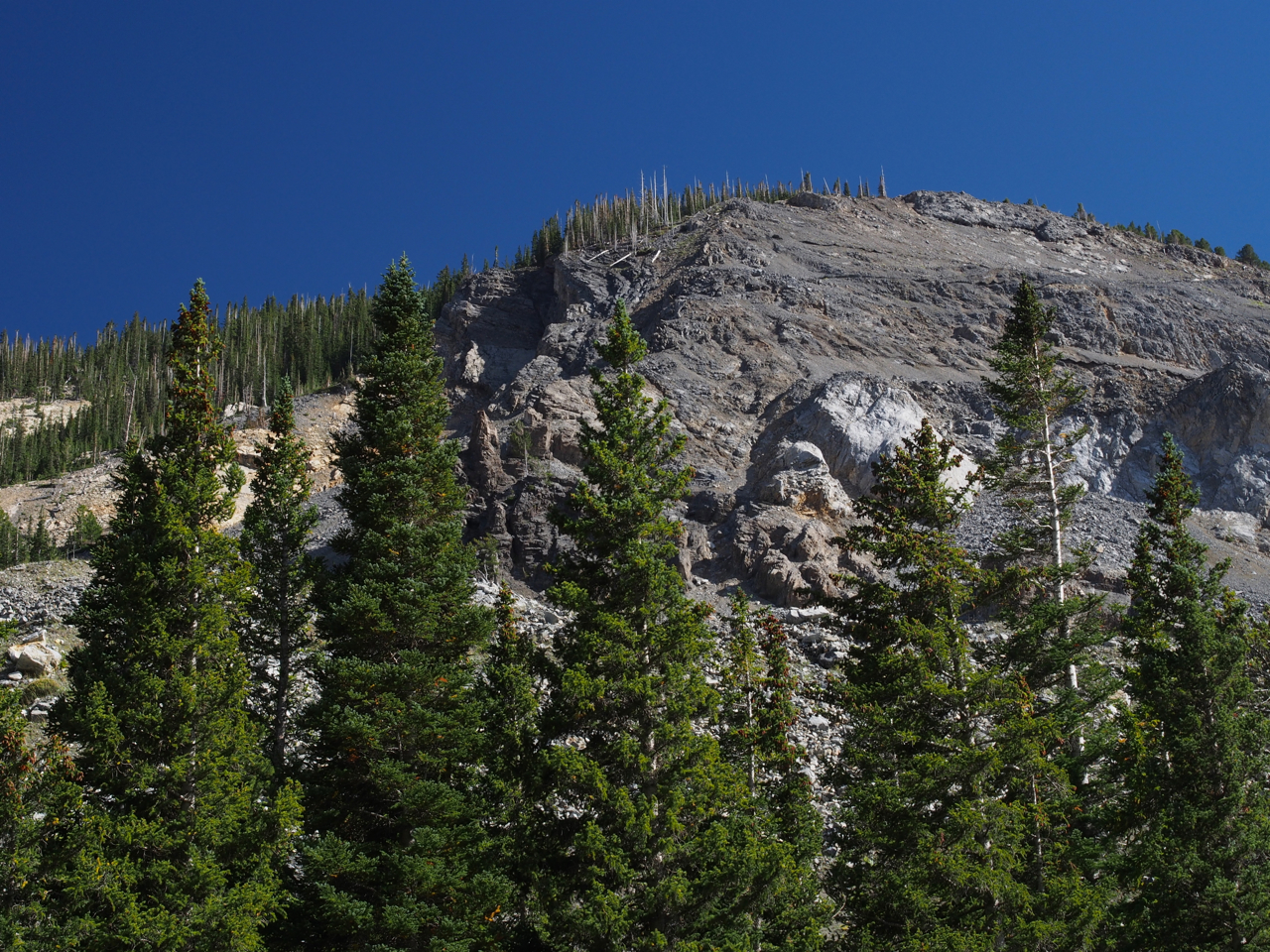
The lower reaches of the slopes were coated with conifers.
Higher up, the tree cover began to thin out.
Eyna eating another Snickers bar while eyeing the terrain ahead. It turns out Snickers are more satisfying and energizing than any of the traditional “energy bars” (e.g. Power Bars, Clif Bars…).
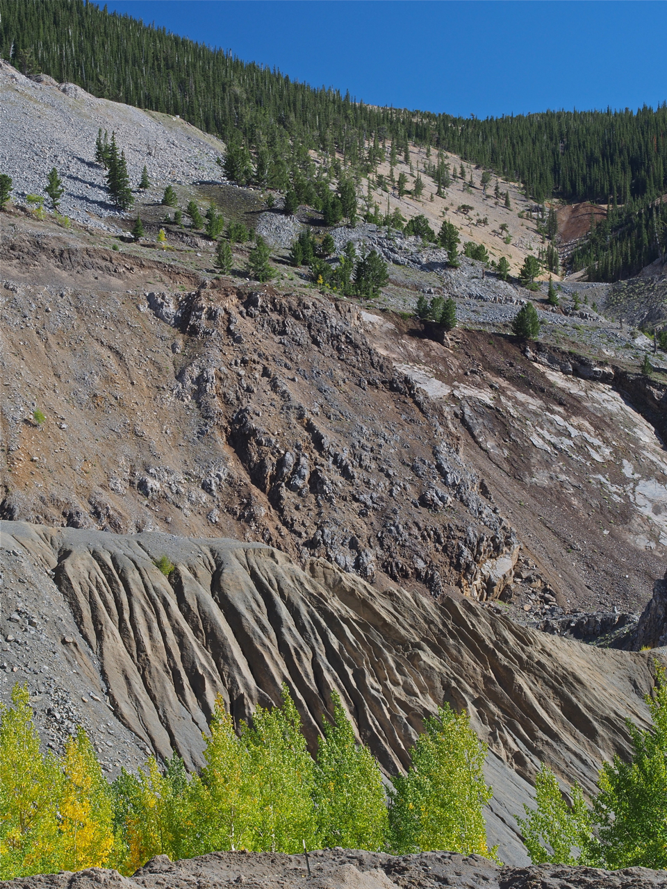
Getting sheer and rocky toward the top.
We were delayed a bit toward the top of the pass while a construction crew built the set for the latest Fast and Furious movie. (Not pictured here)
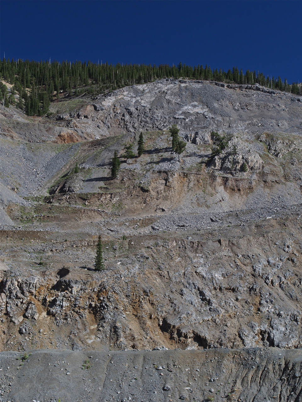
The compensation for an exhausting, emotional 23-mile climb across the Continental Divide: great scenery
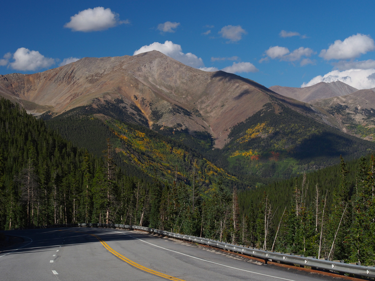
Looking back as we approach the top.
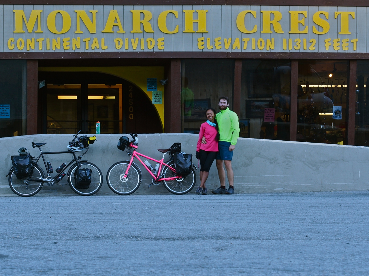
Success!
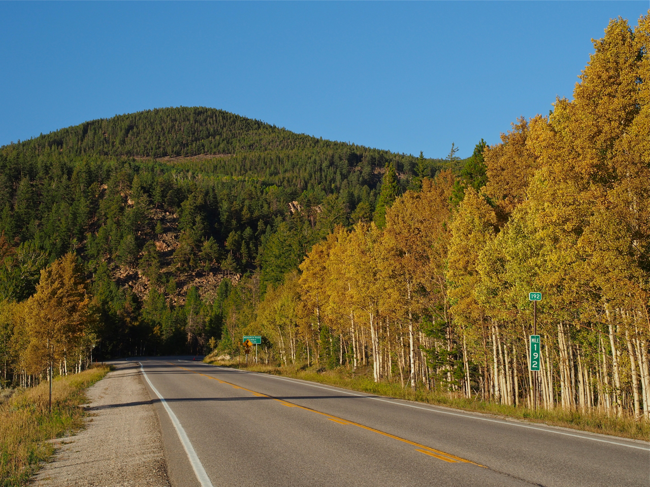
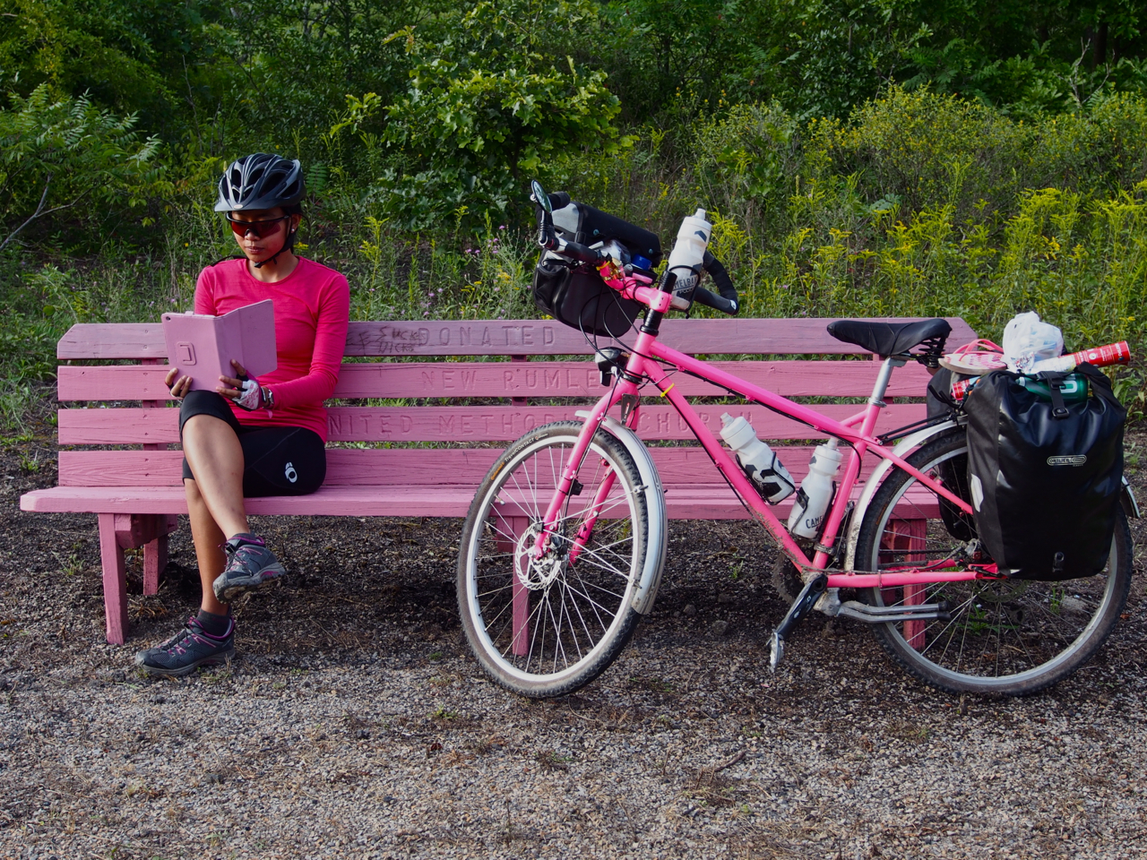
The road down to our campsite at Sargents, CO was lined with golden-yellow Aspen trees.

Taking a break on the rim/rotor melting descent from Monarch Pass.

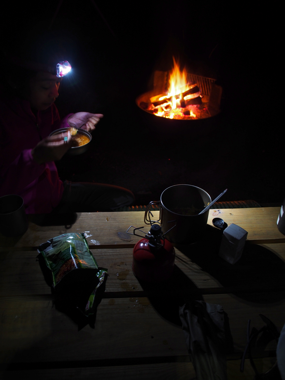
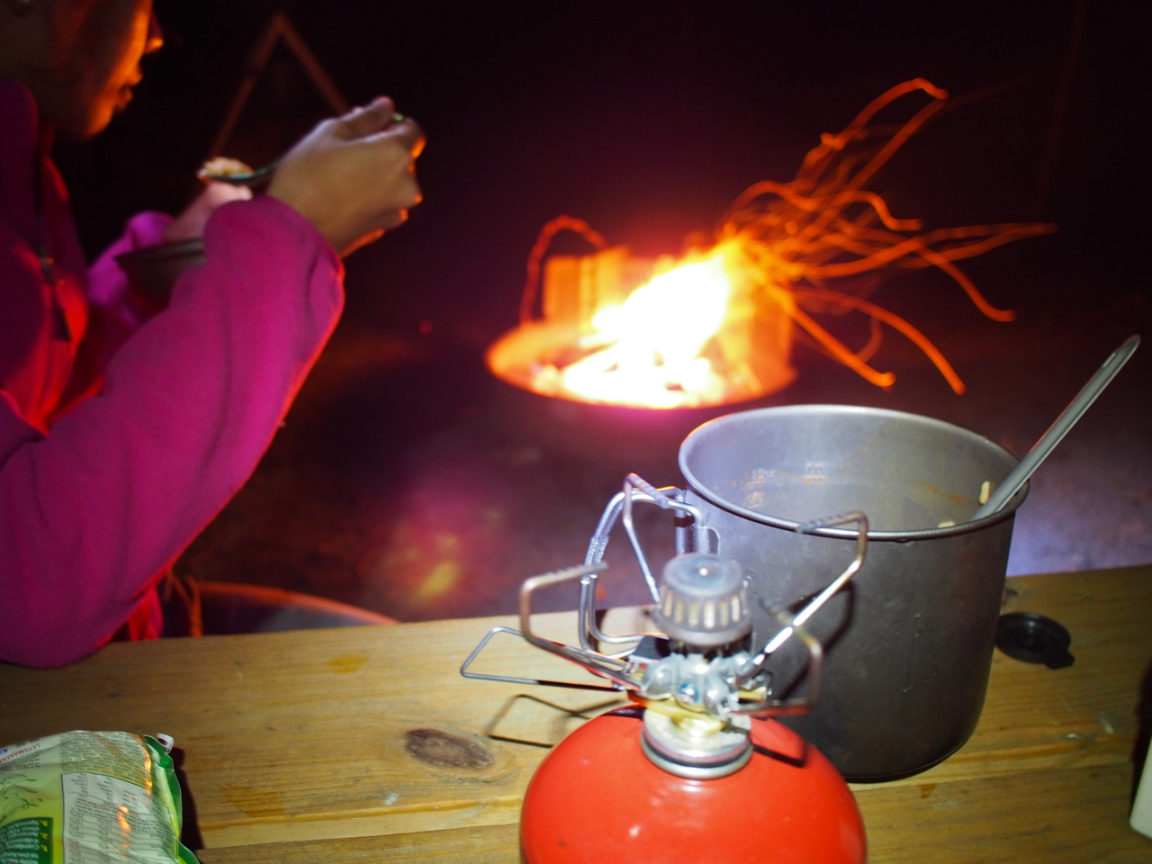
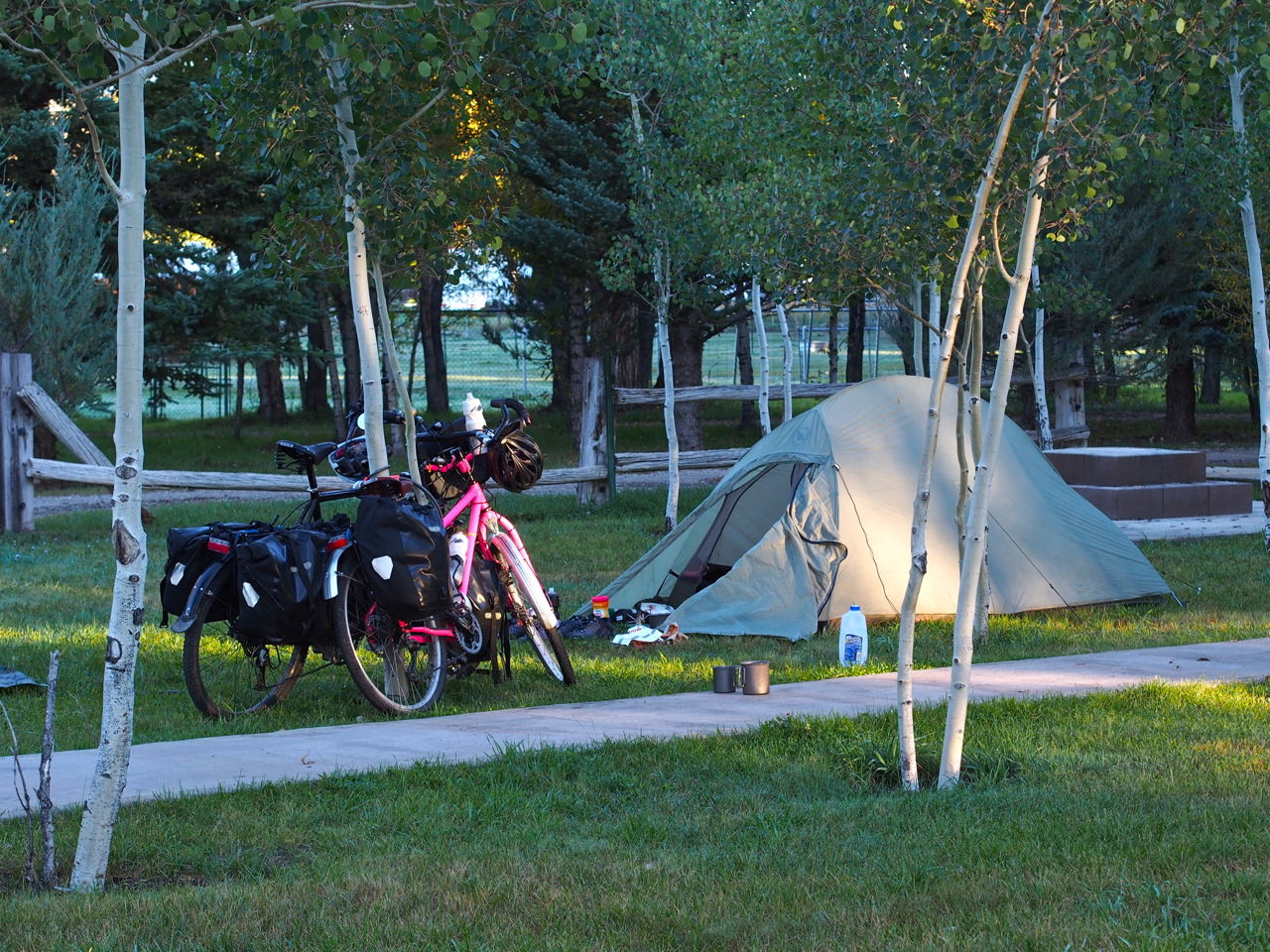
Our campsite at Sargents, CO was well above 8,000 feet. In the morning our tent was encrusted with ice.

As was my saddle…
And our panniers.
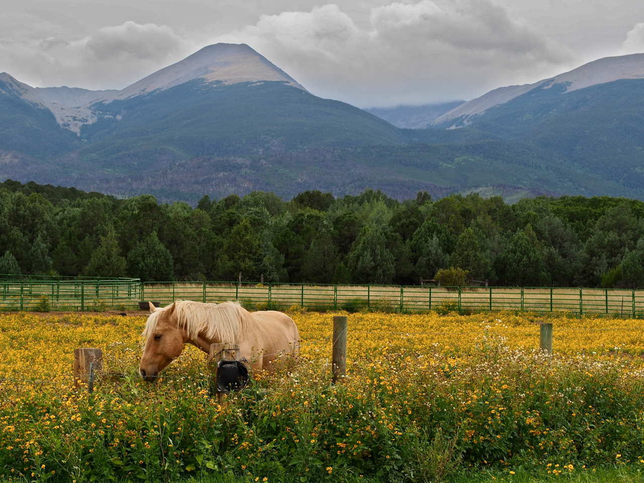
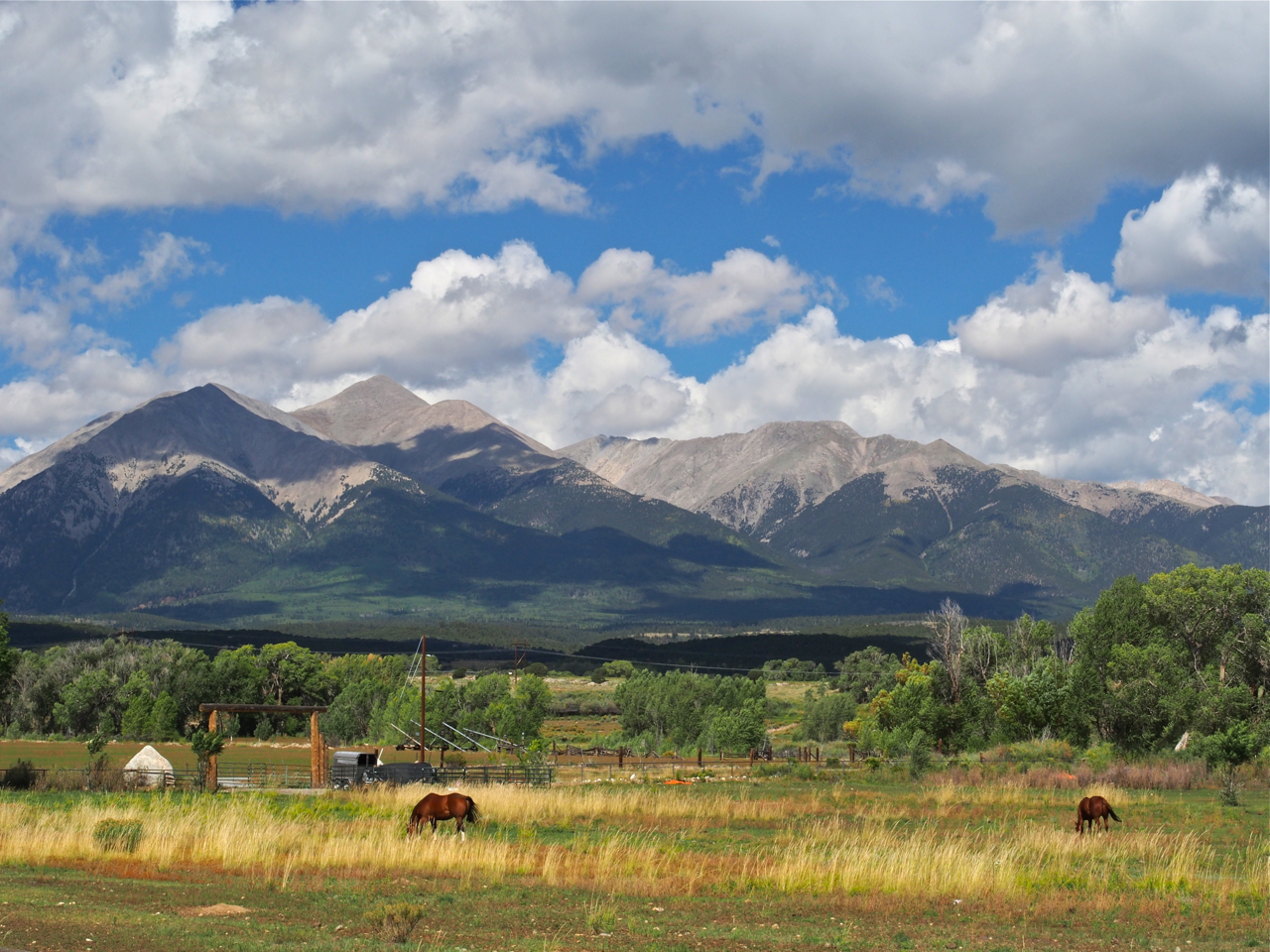
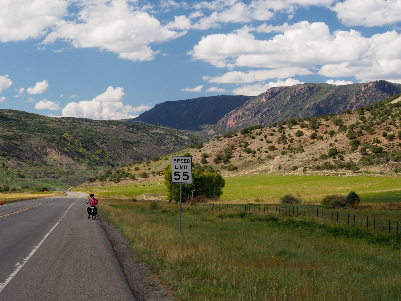
The ride from our campsite at Sargents to Gunnison, CO was a gentile, rolling descent past horse farms and ranches.
Ranch Land
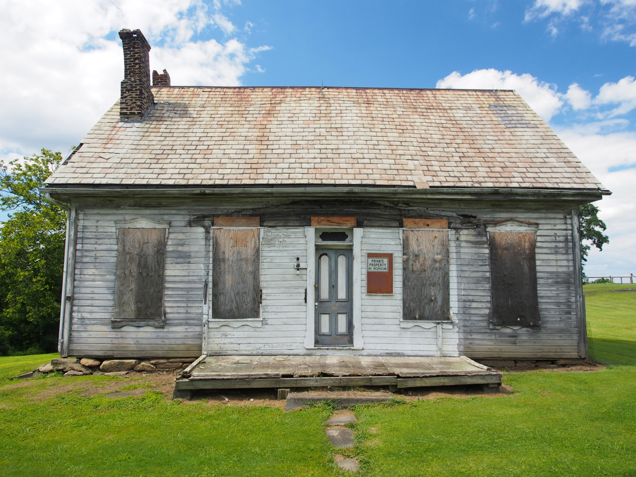
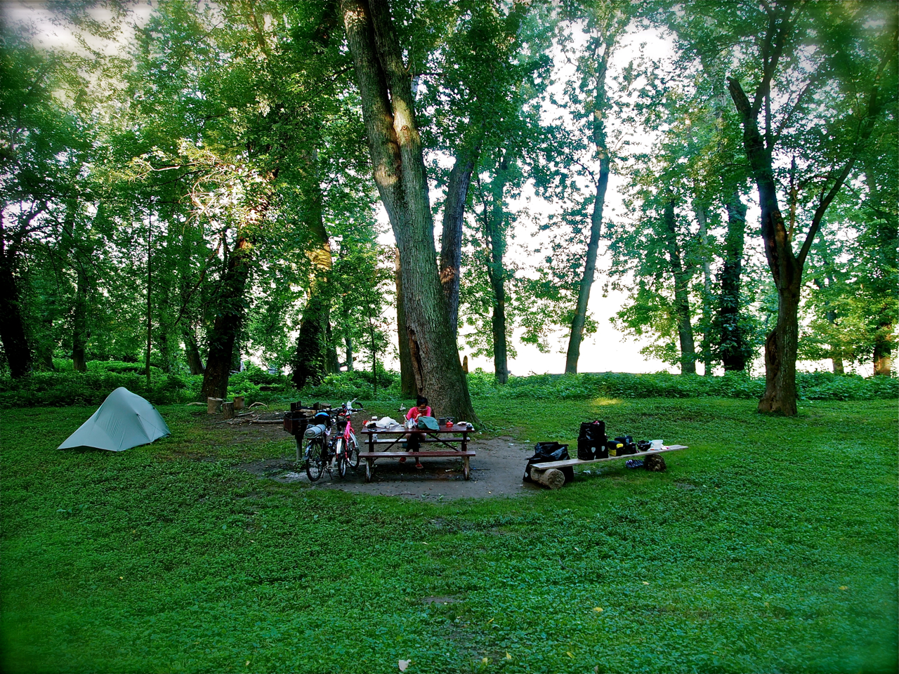
We found a place to camp in front of a large, abandoned house in Gunnison, CO.
Our campsite in Gunnison, CO
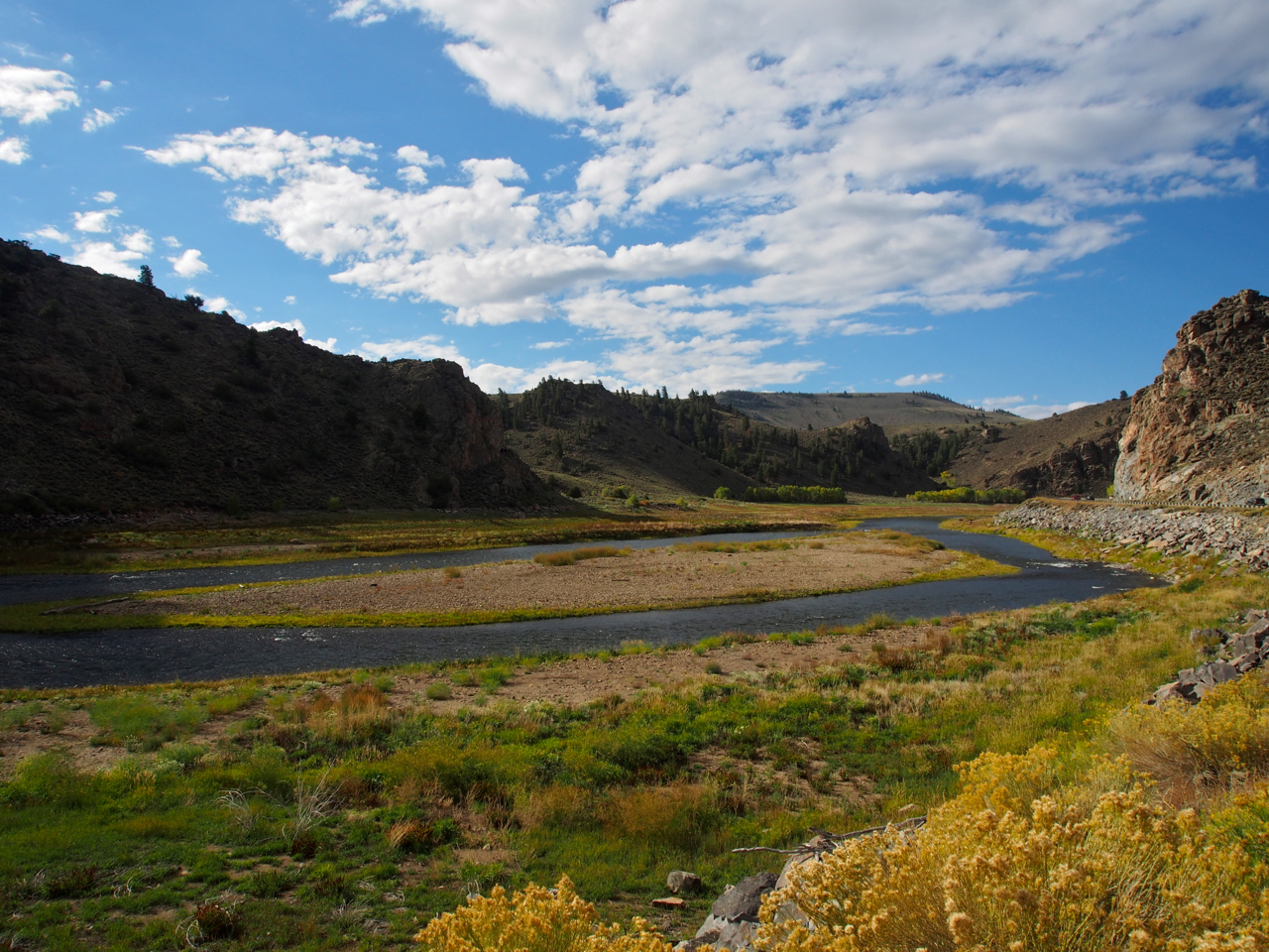
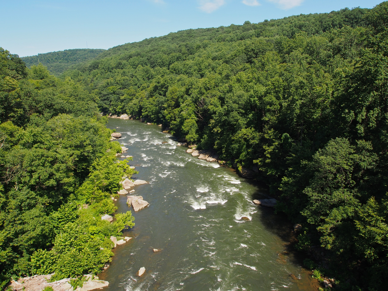
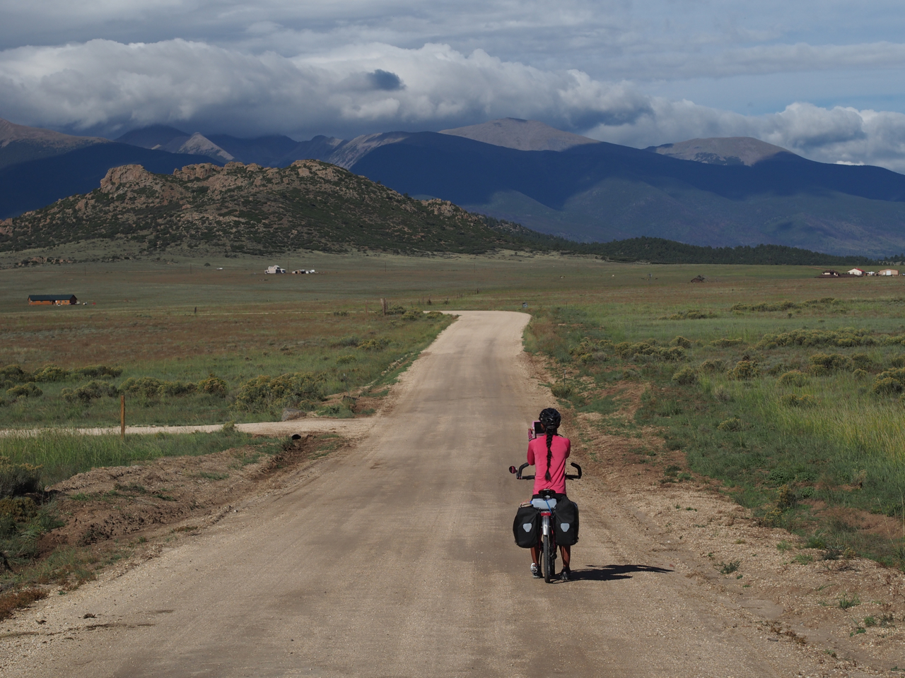
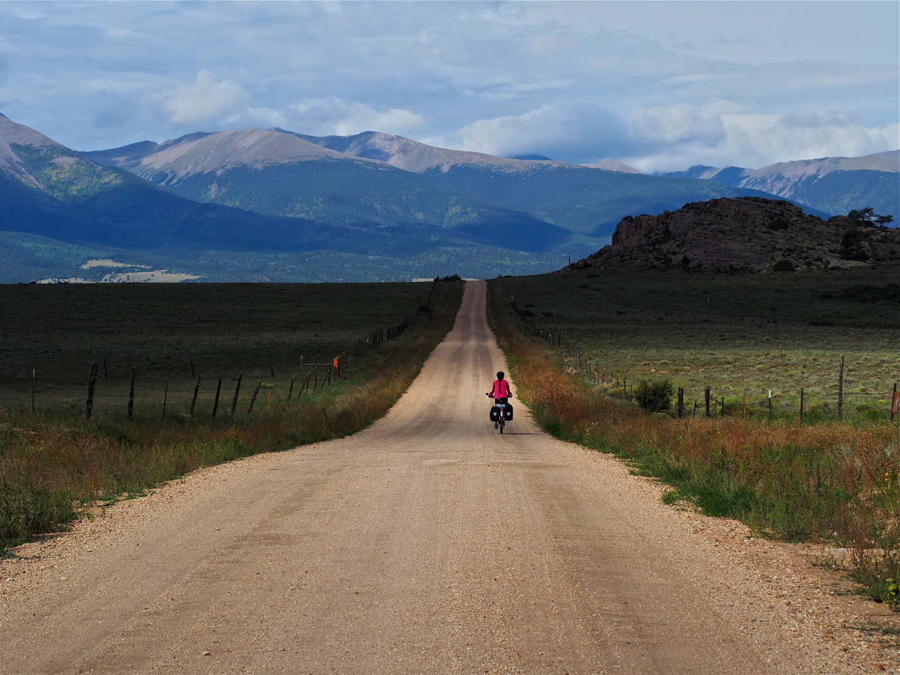
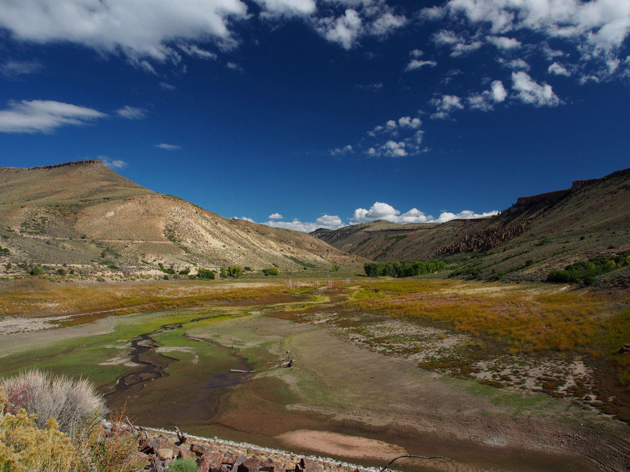
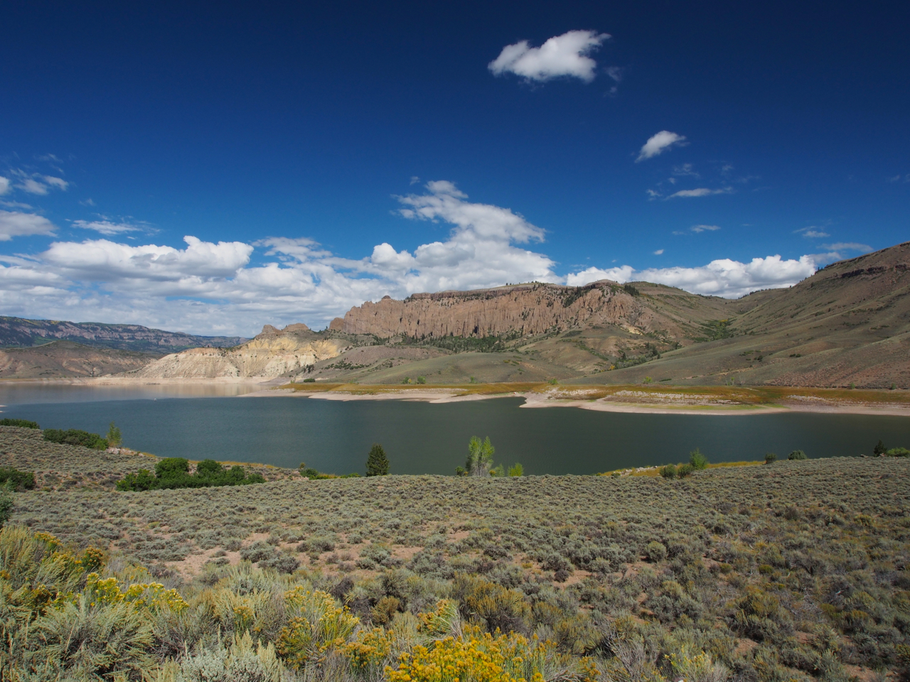
The ride out of Gunnison toward Montrose on Route 50 was spectacular.
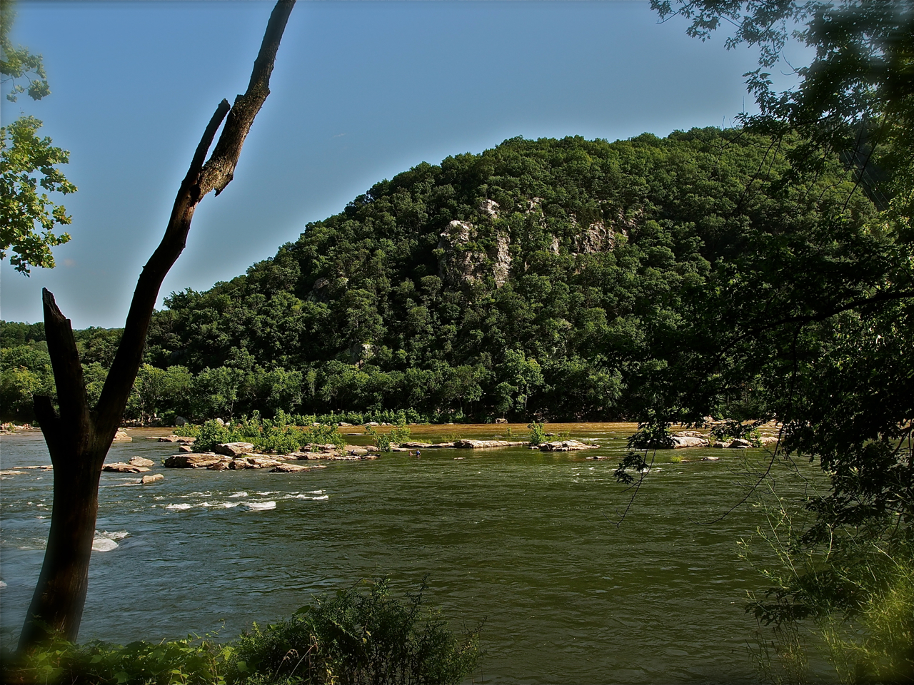
The Gunnison River, in all its glory.
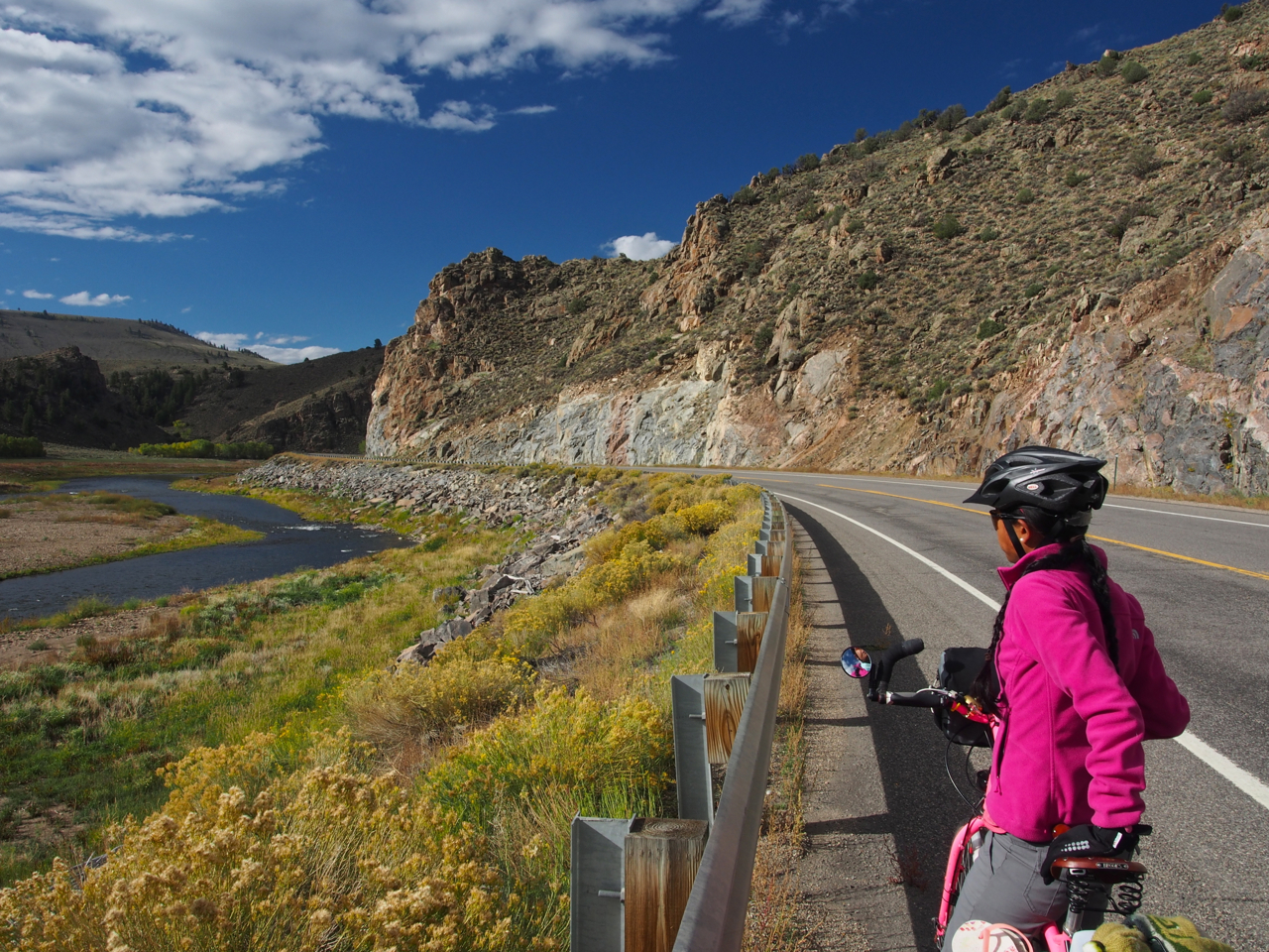
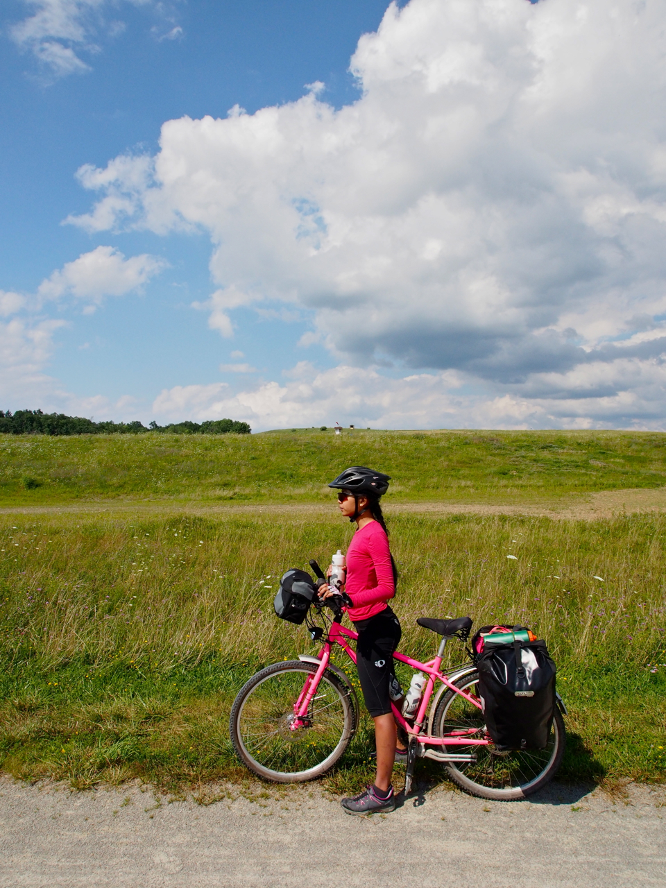
Mrs. Kane surveying the scene along Route 50 west of Gunnison, CO
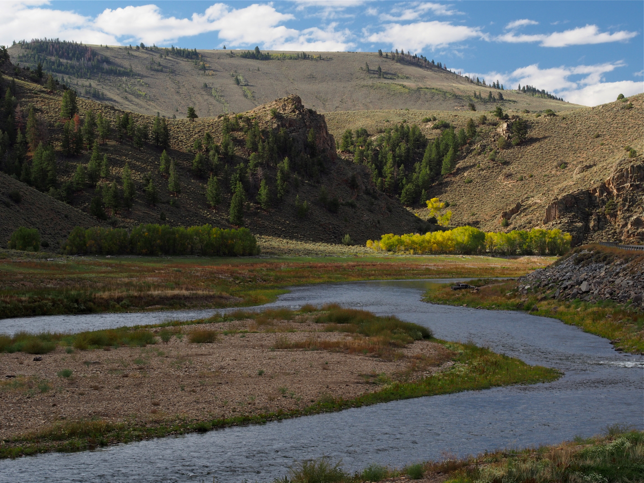
West of Gunnison, CO
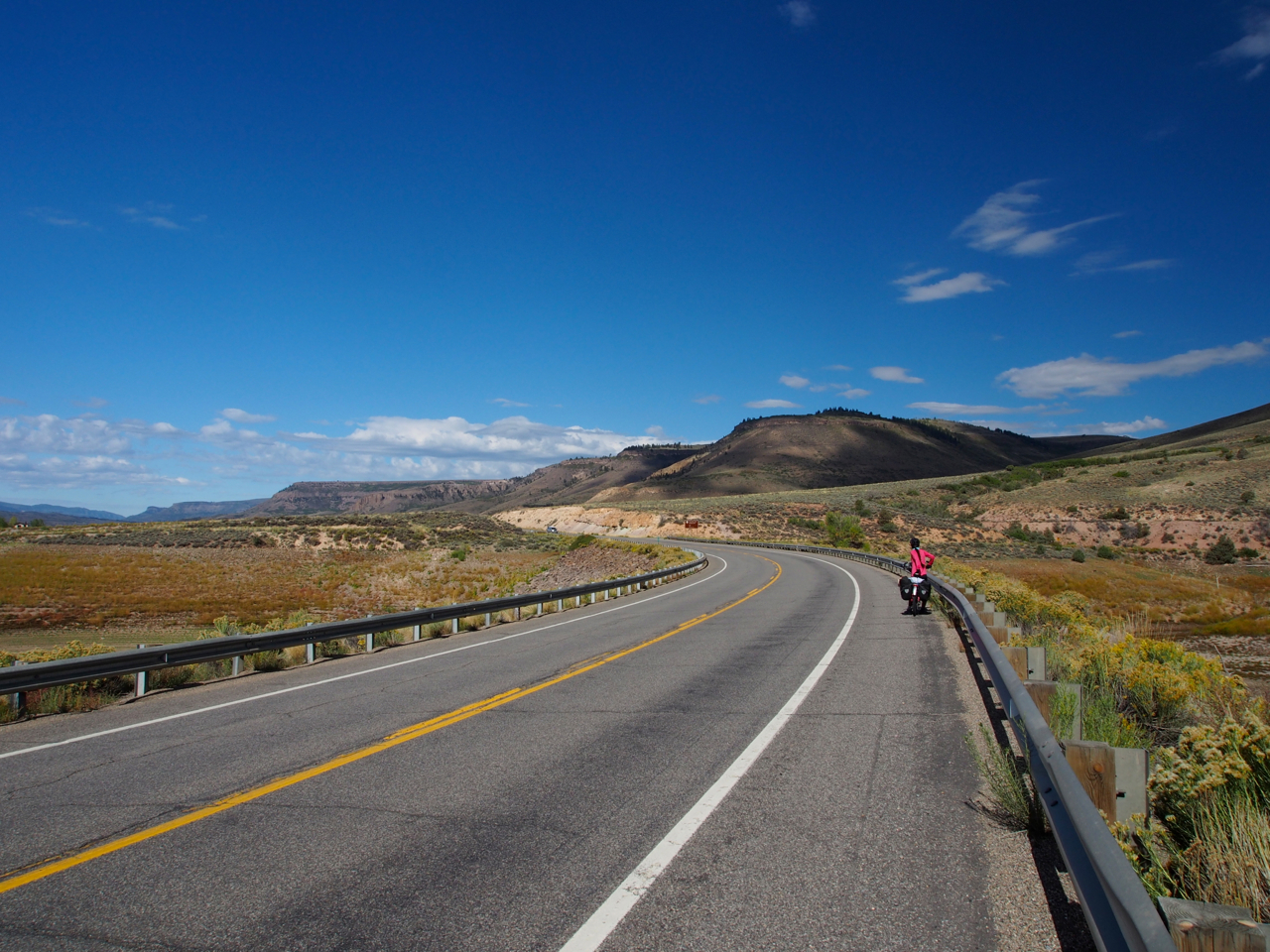
Route 50 west of Gunnison, CO
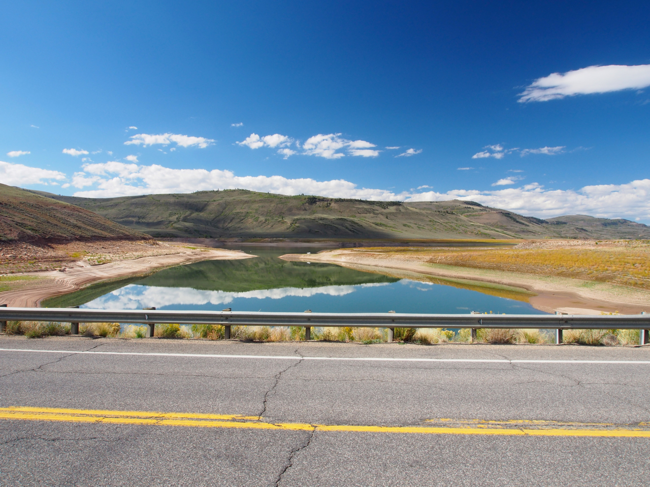
Route 50 west of Gunnison, CO
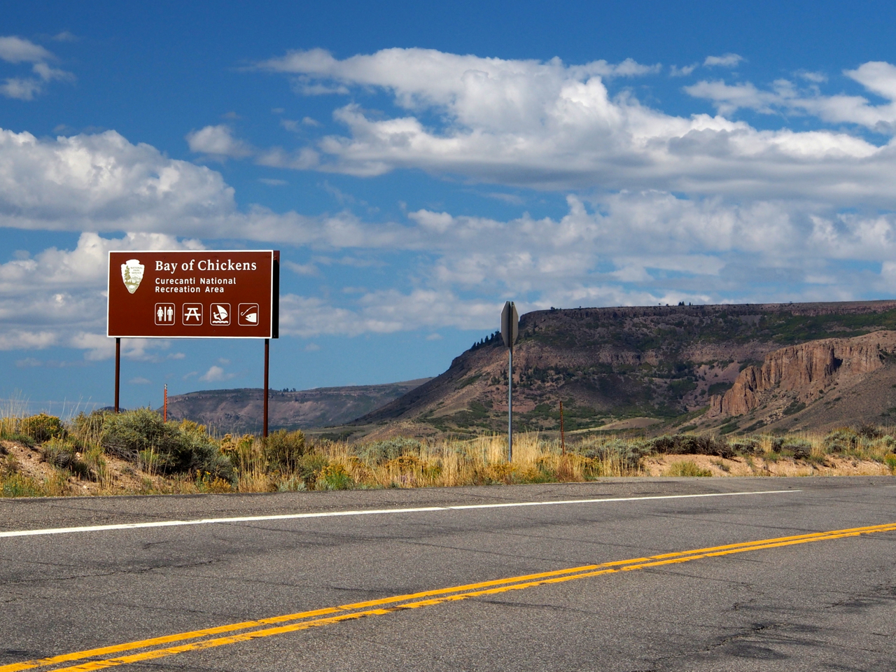
Never Forget.
West of Gunnison, CO

Ranchin’

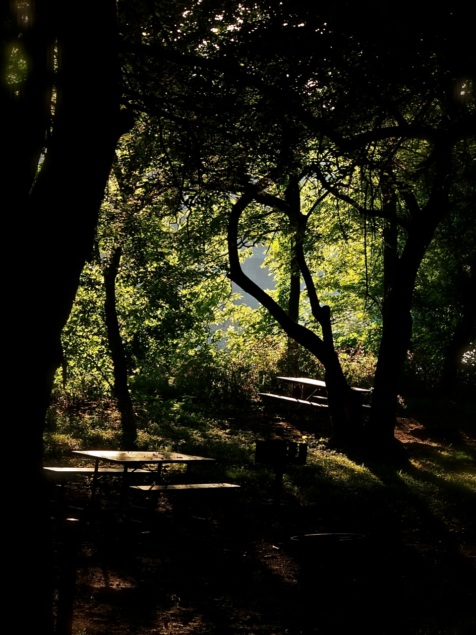
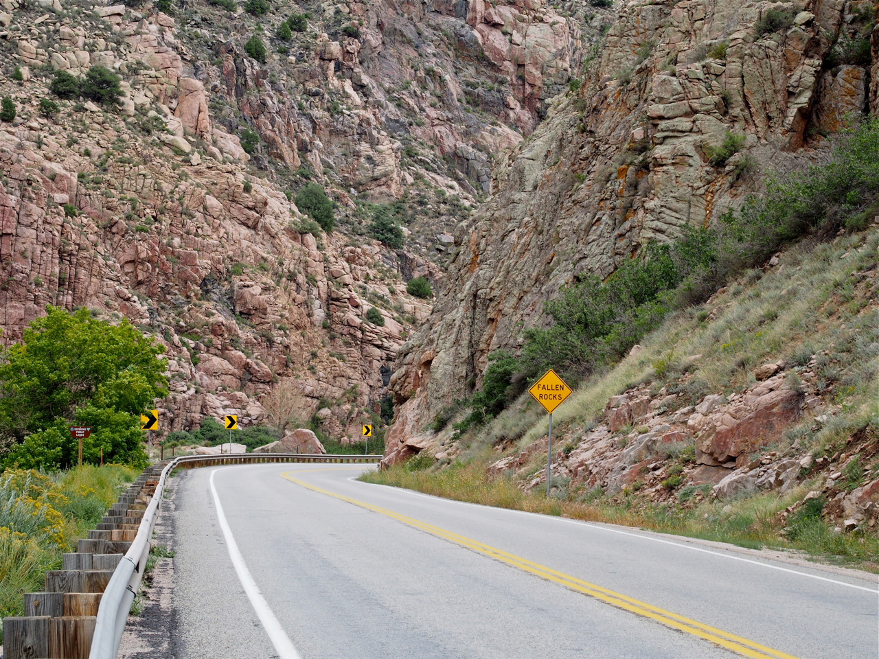
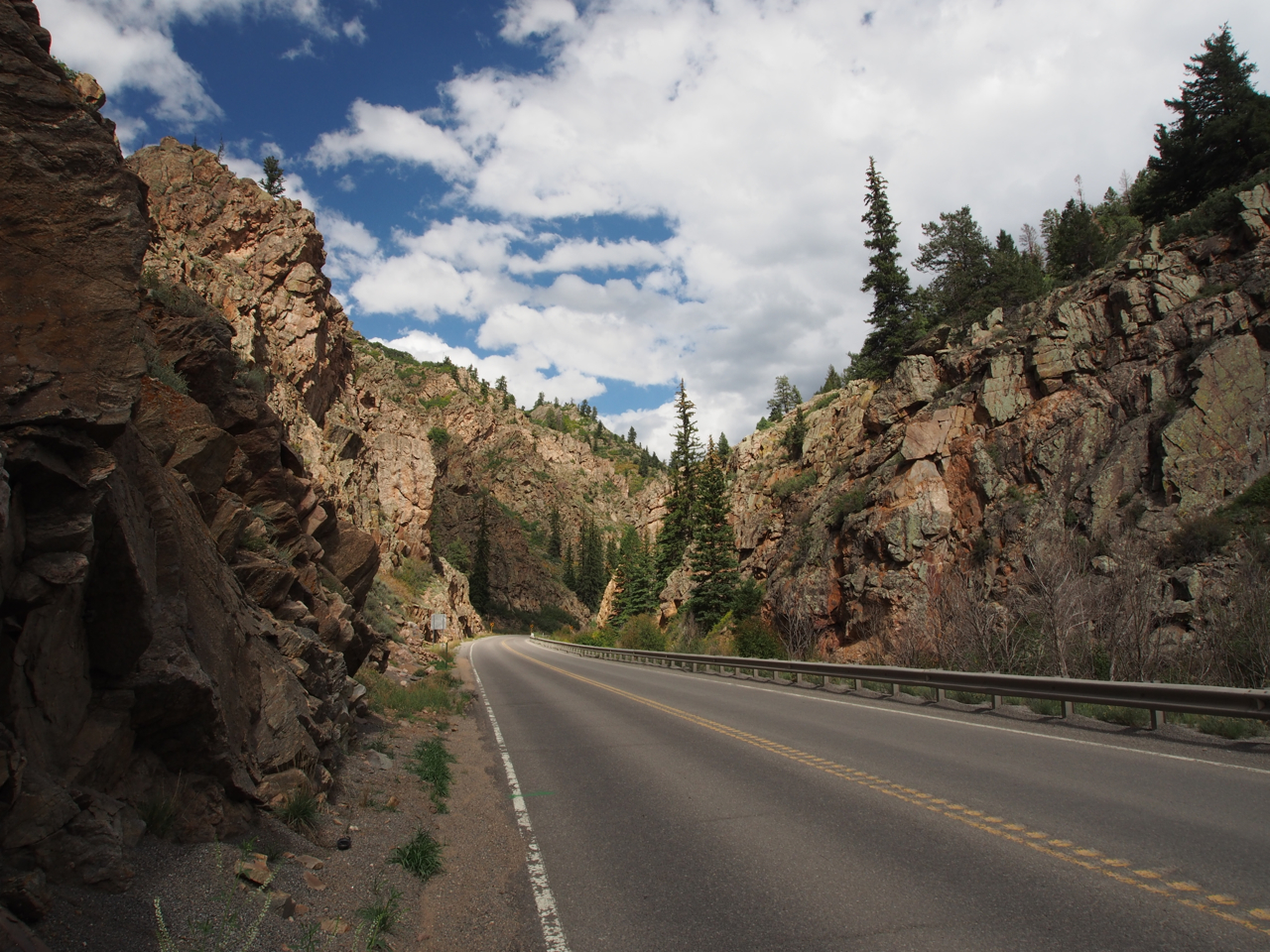
There were two significant climbs along the route between Gunnison and Montrose, CO. Sandwiched between them was this winding descent through a forested canyon.
Yes.
Long steep descents into valleys are always bitter-sweet when you know there is a hellacious climb waiting on the other side.

In Montrose, CO we stayed with John and Emily. John has been working on developing a small organic farm on a plot of land behind their new home. Here he is heading out to do the morning chores.
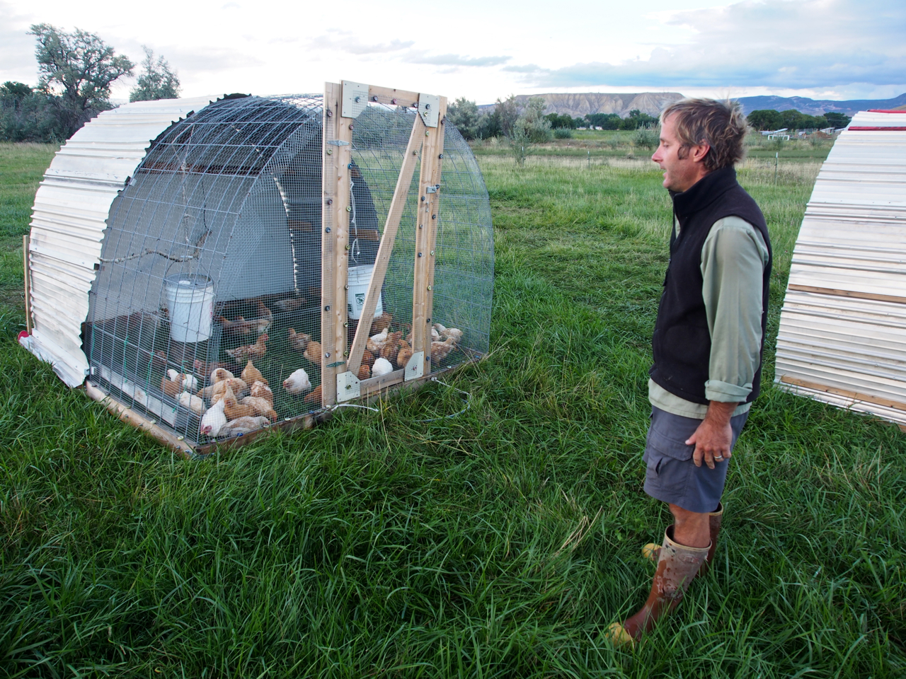
Eyna and I tagged along for the morning while John tended to his flock.
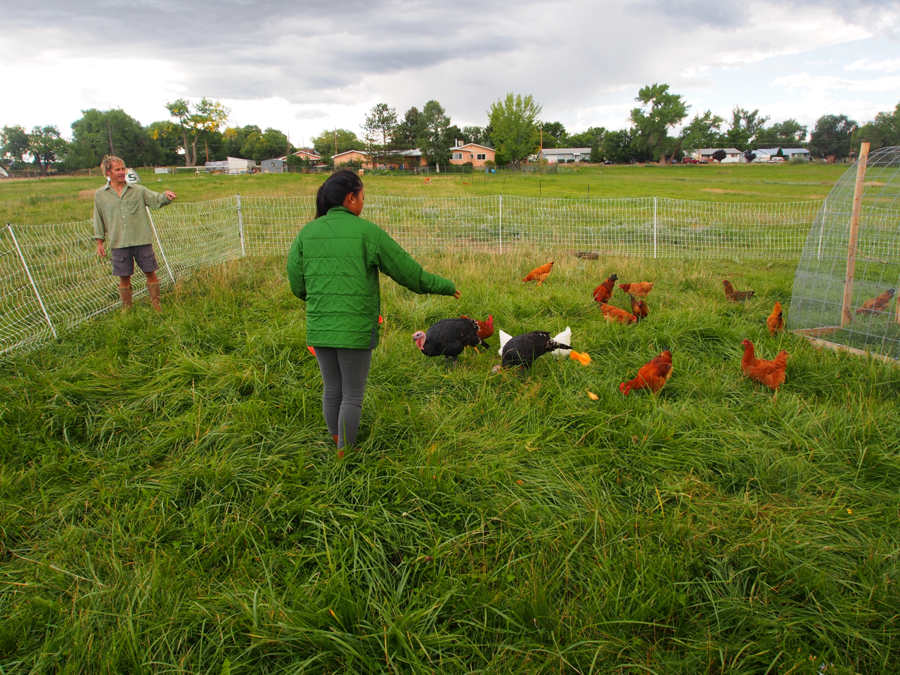
Mrs. Kane helping John feed his fowl.
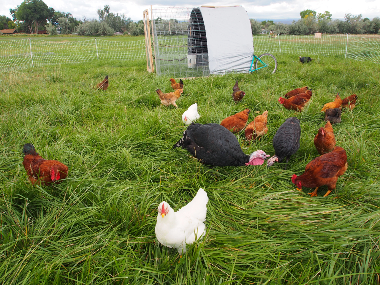
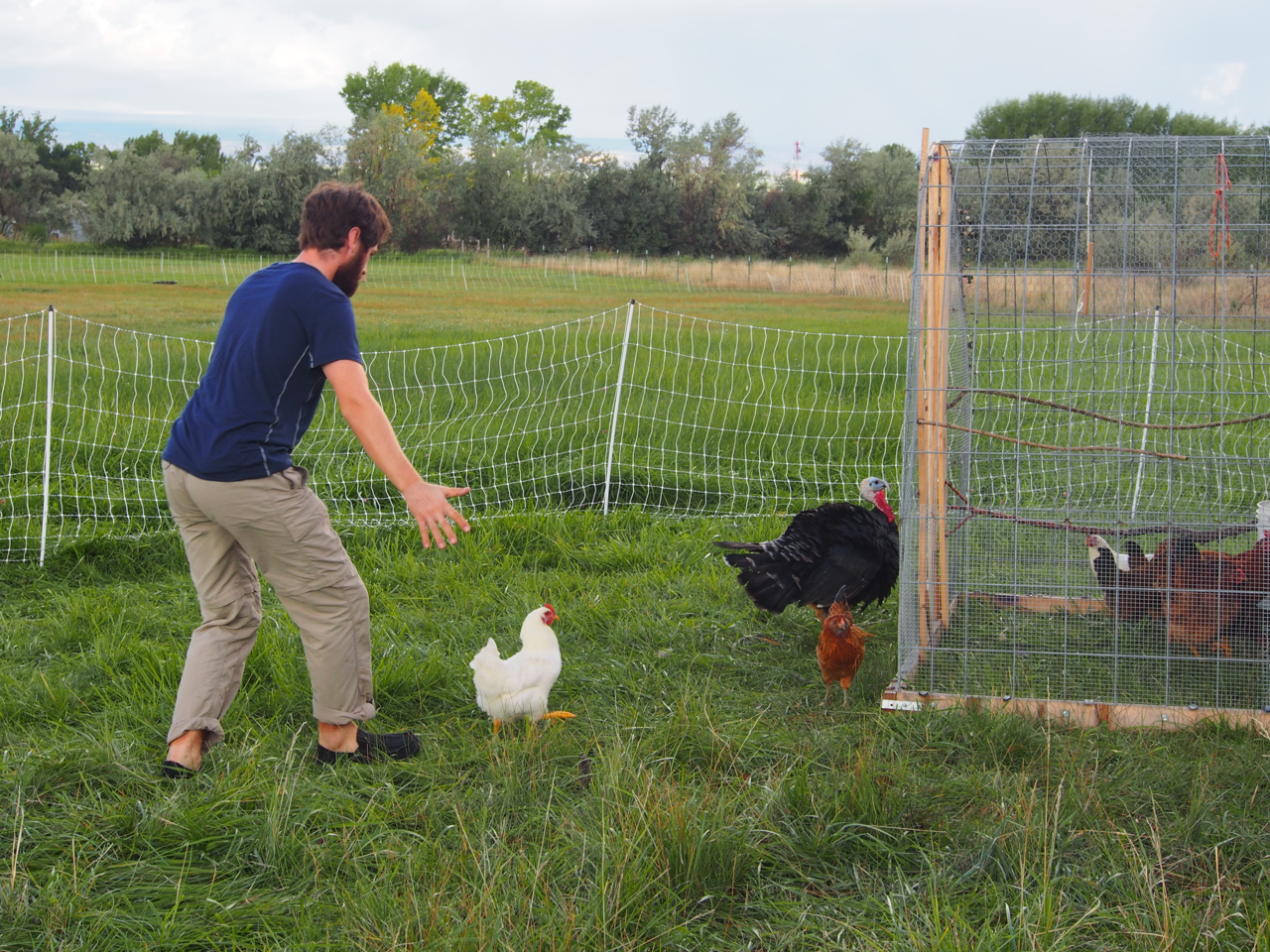
Herding chickens.

Next Up: goat milking.
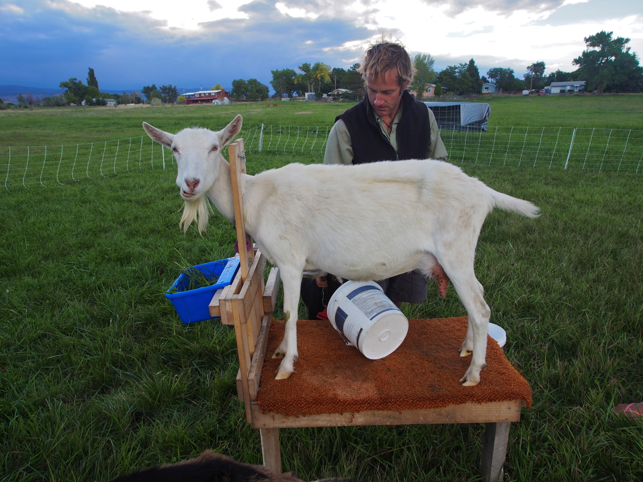
Step one: Put goat in stanchion
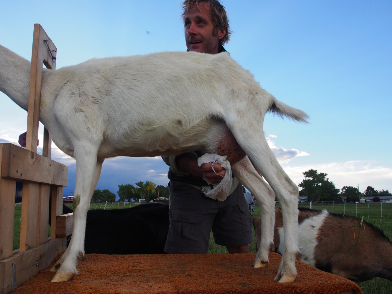
Step Two: Clean nether regions with soap and water
Step Three: Give ’em a squeeze
Eyna getting a good view
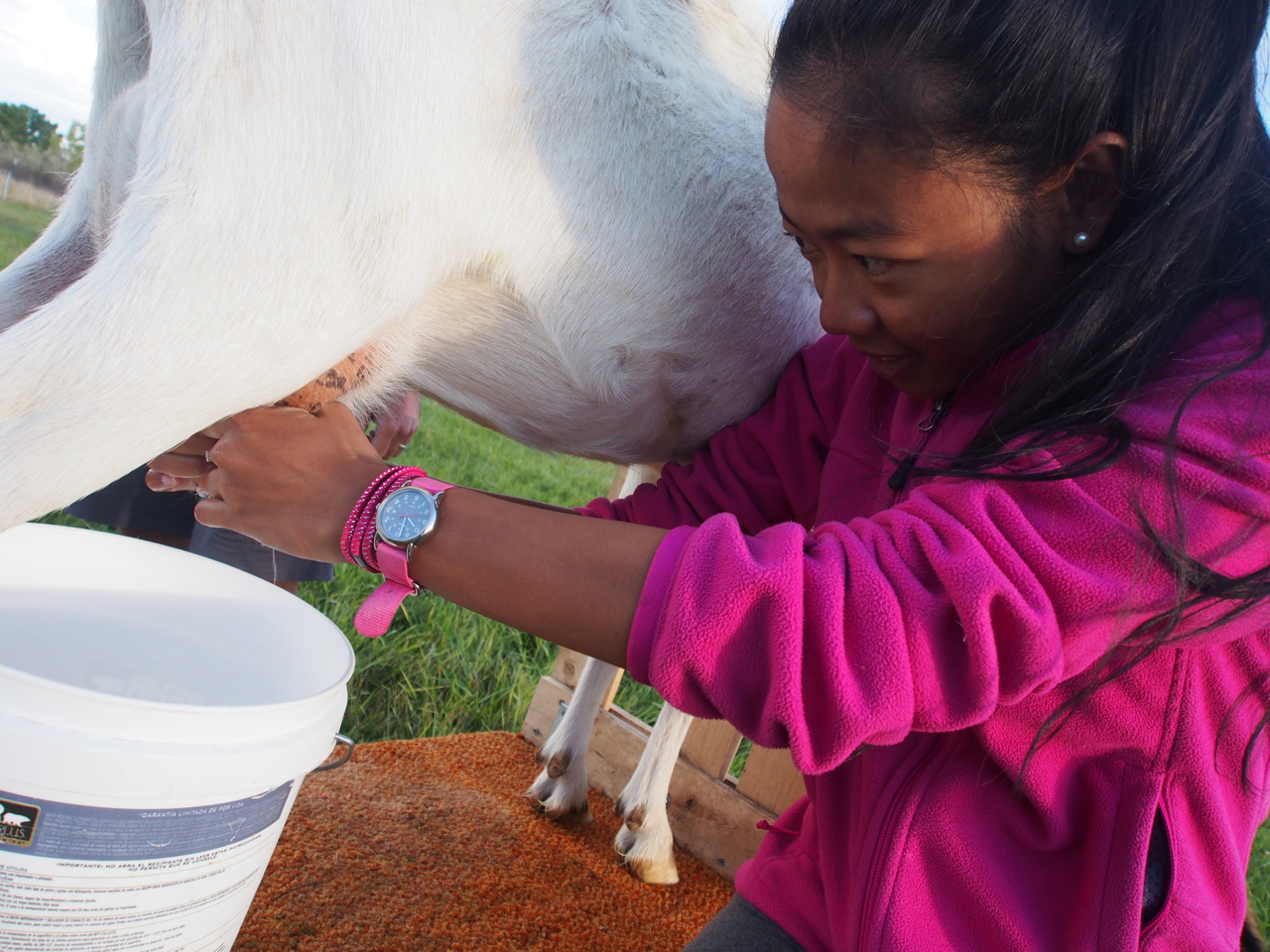
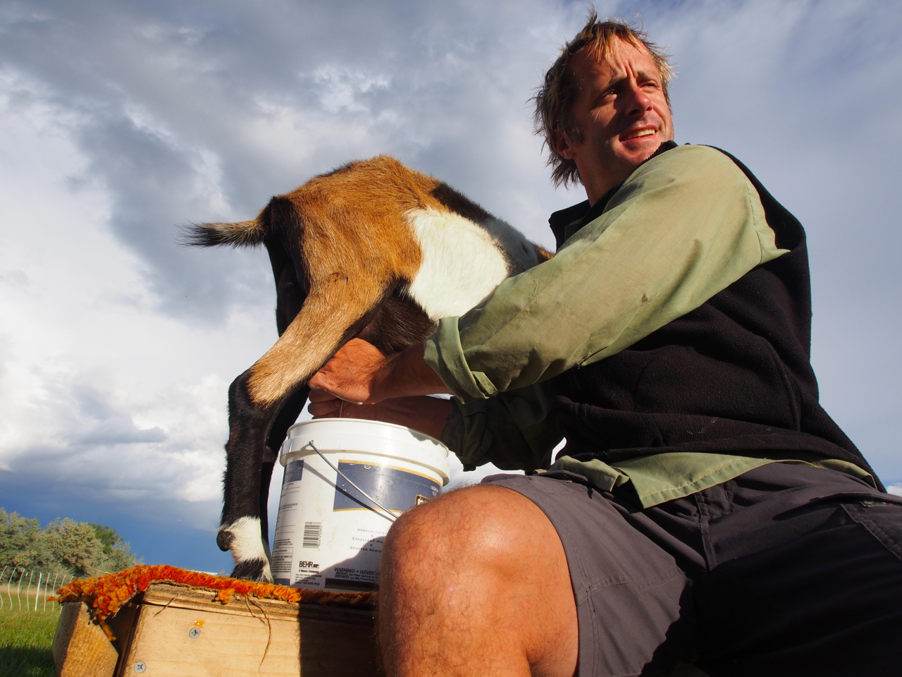
Eyna developing her skill set…just in case her computer science career doesn’t work out.

Such an odd photo…

Oh, what the hell…why not?
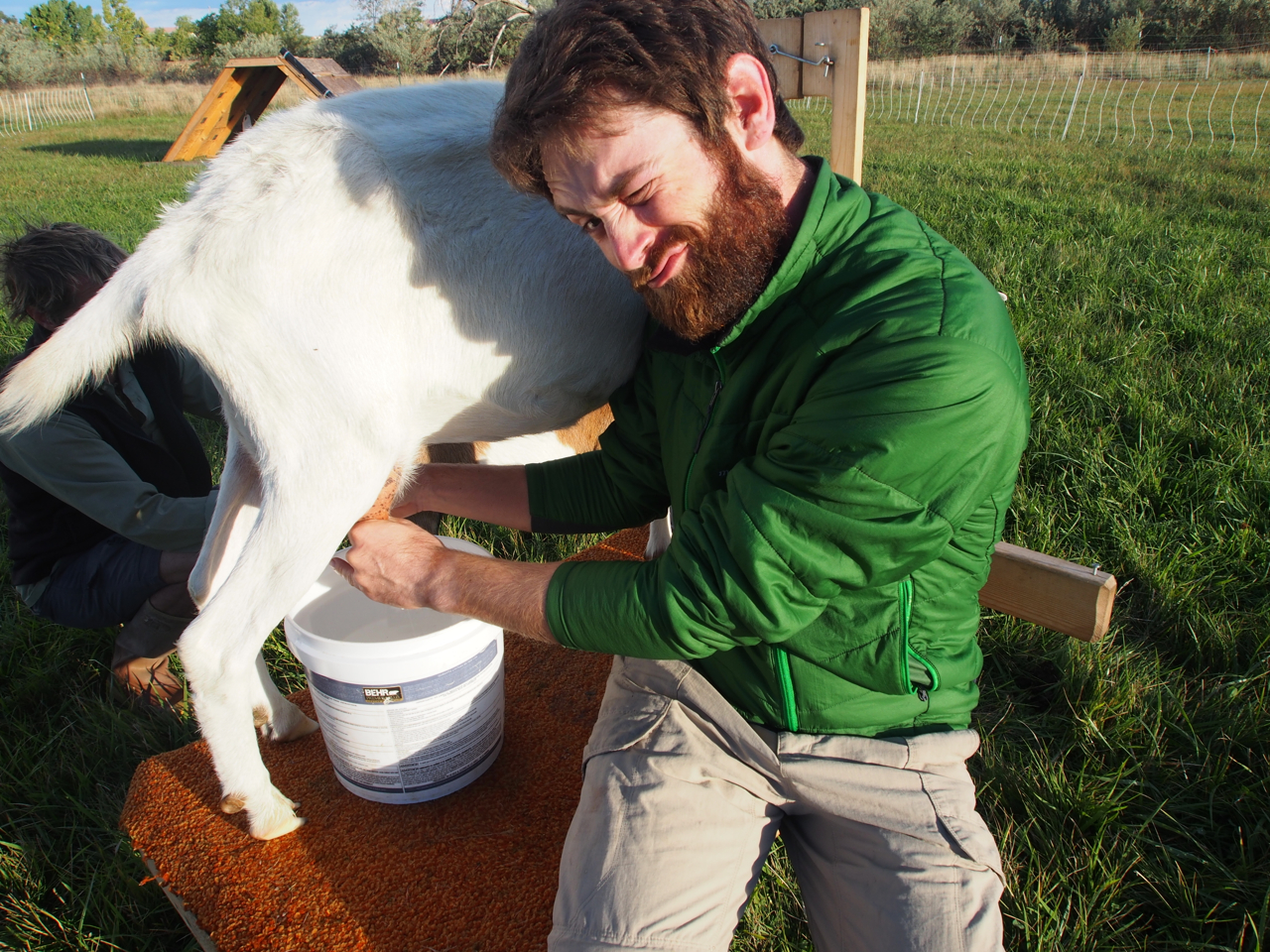
Milk a goat
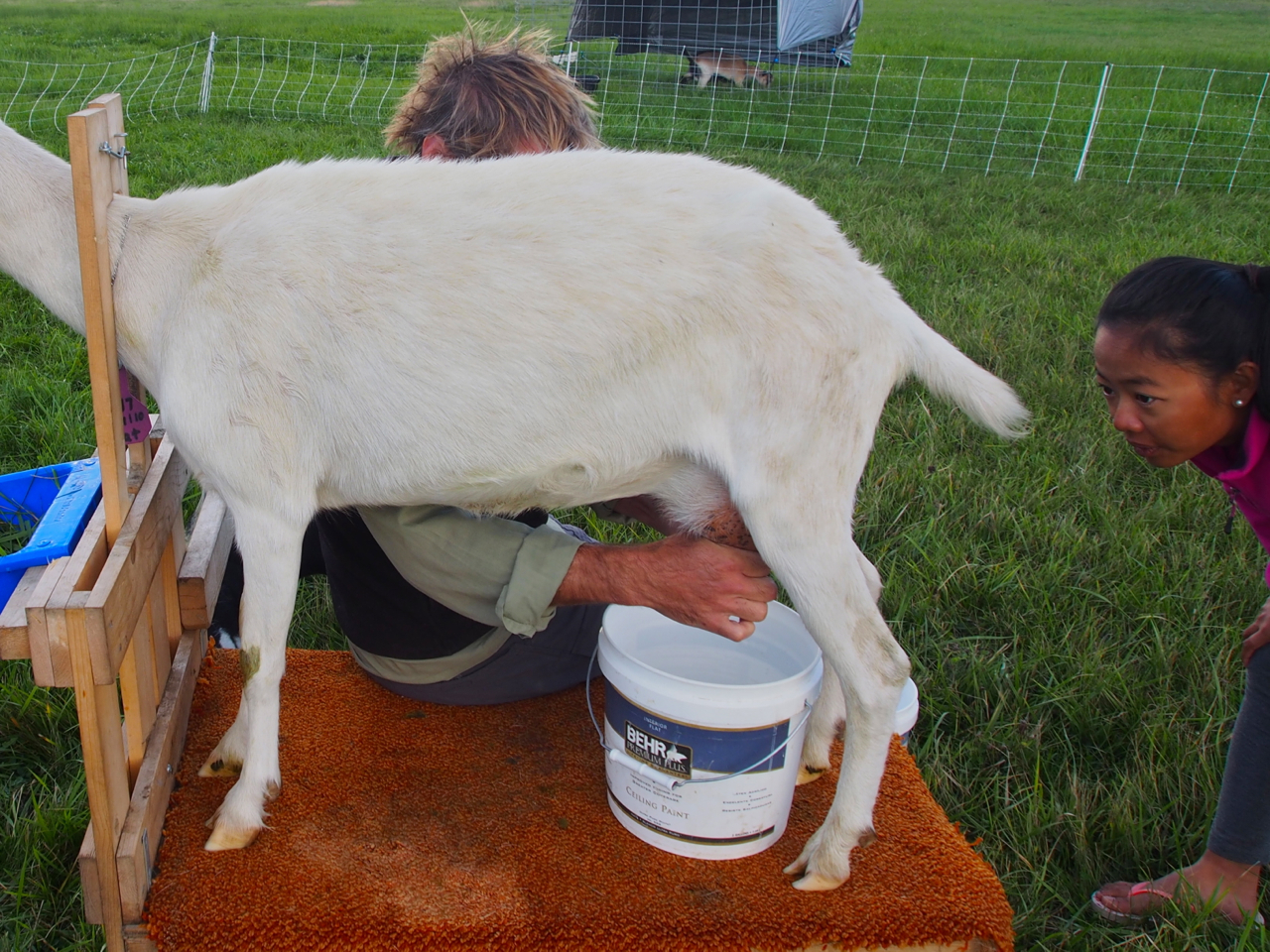
Freshly milked goat.
Good job, goat!
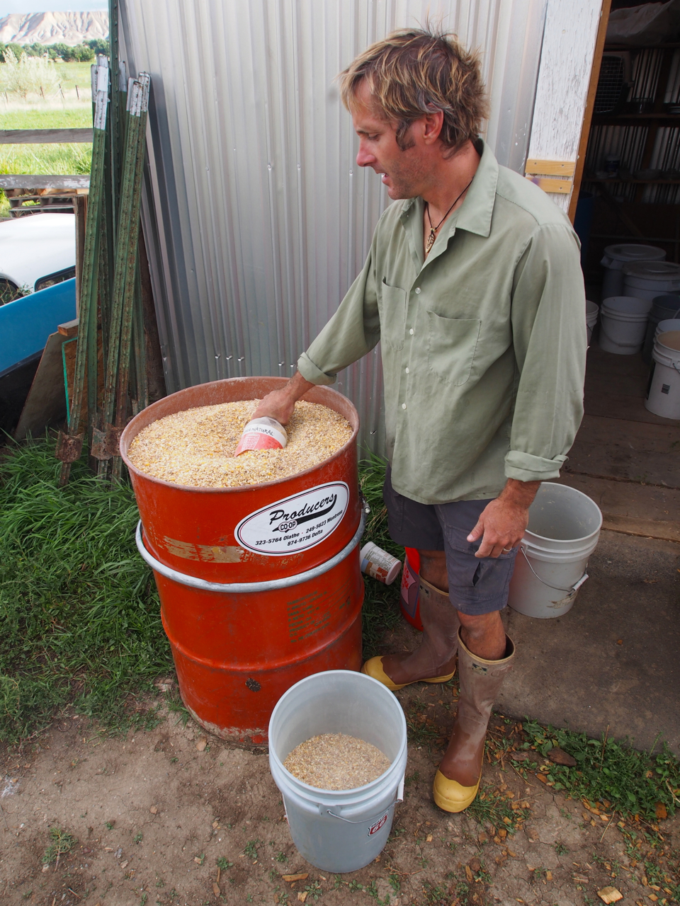
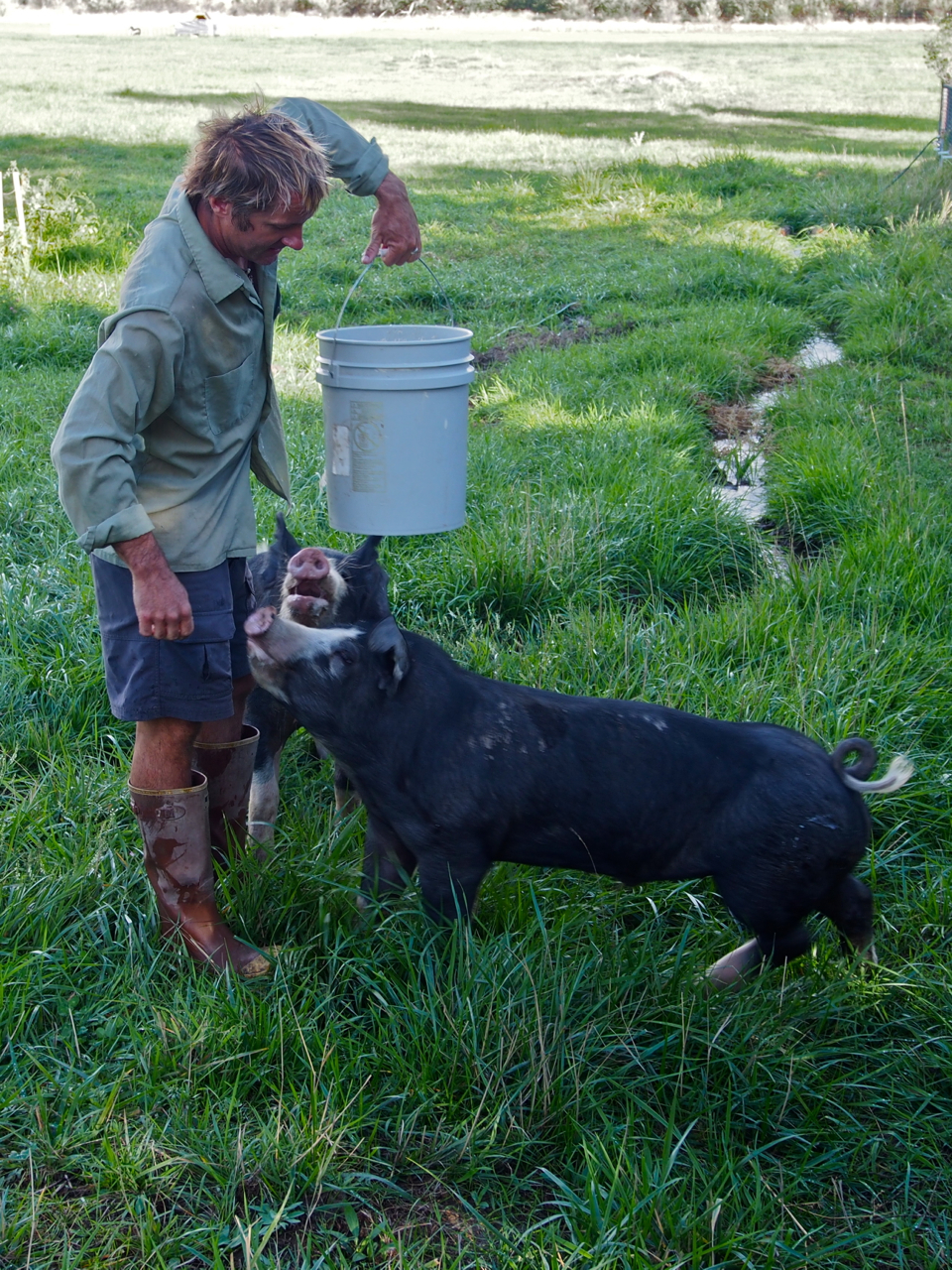
Next Up: Pig feeding
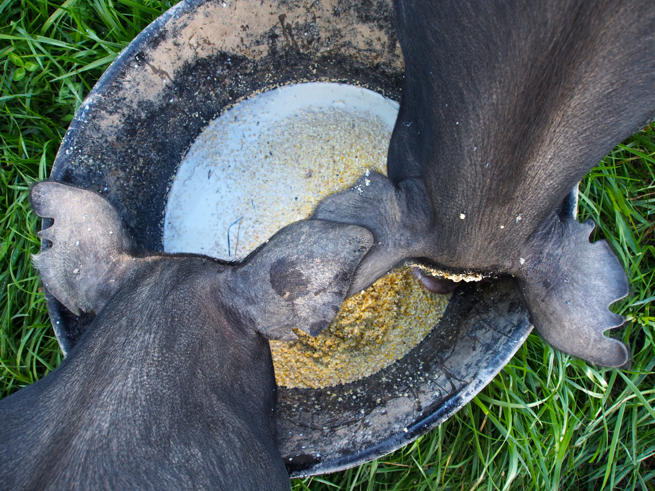
They’re living up to their reputation in this photo.
John mixes cornmeal with the goats’ milk and feeds it to his pigs.
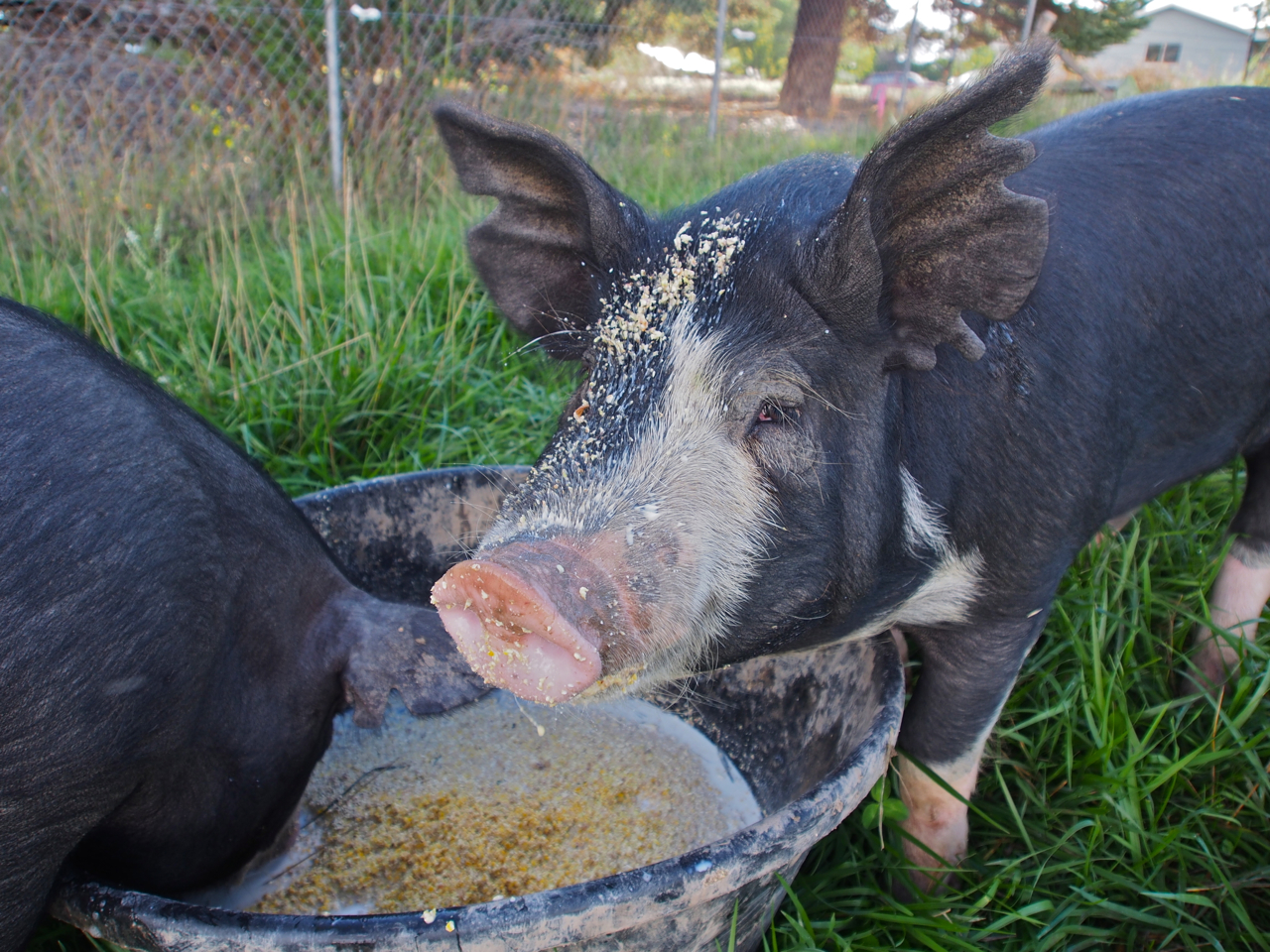
Hey, you…yeah, you…you have something on your face.

John massages his hams daily.
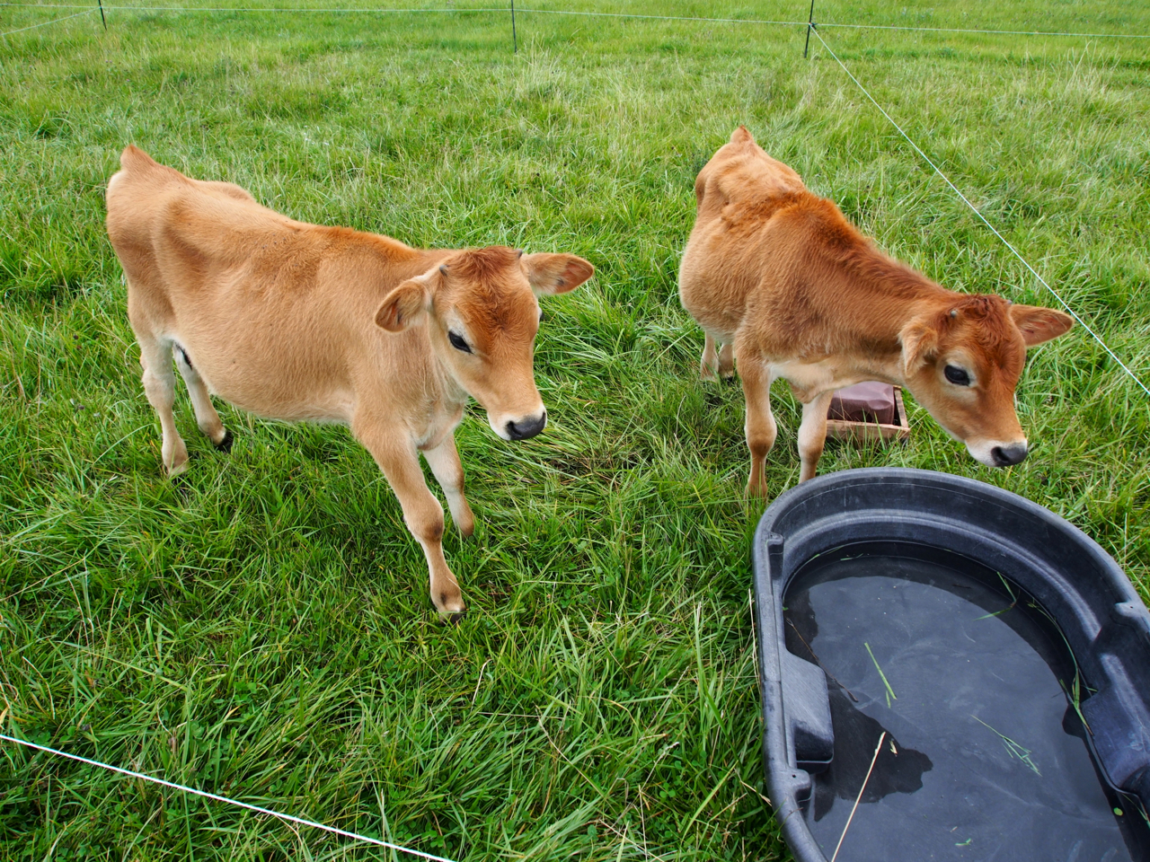
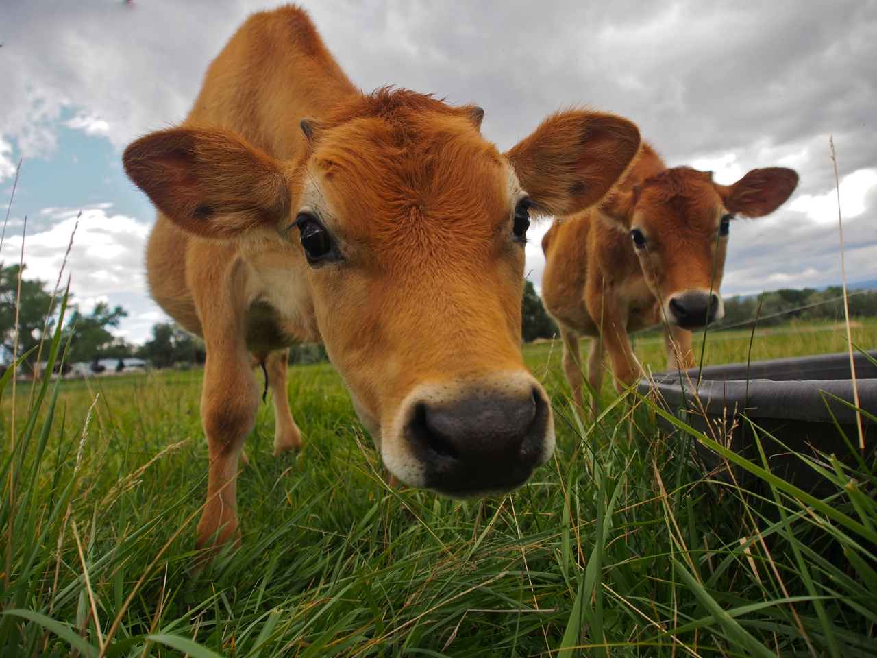
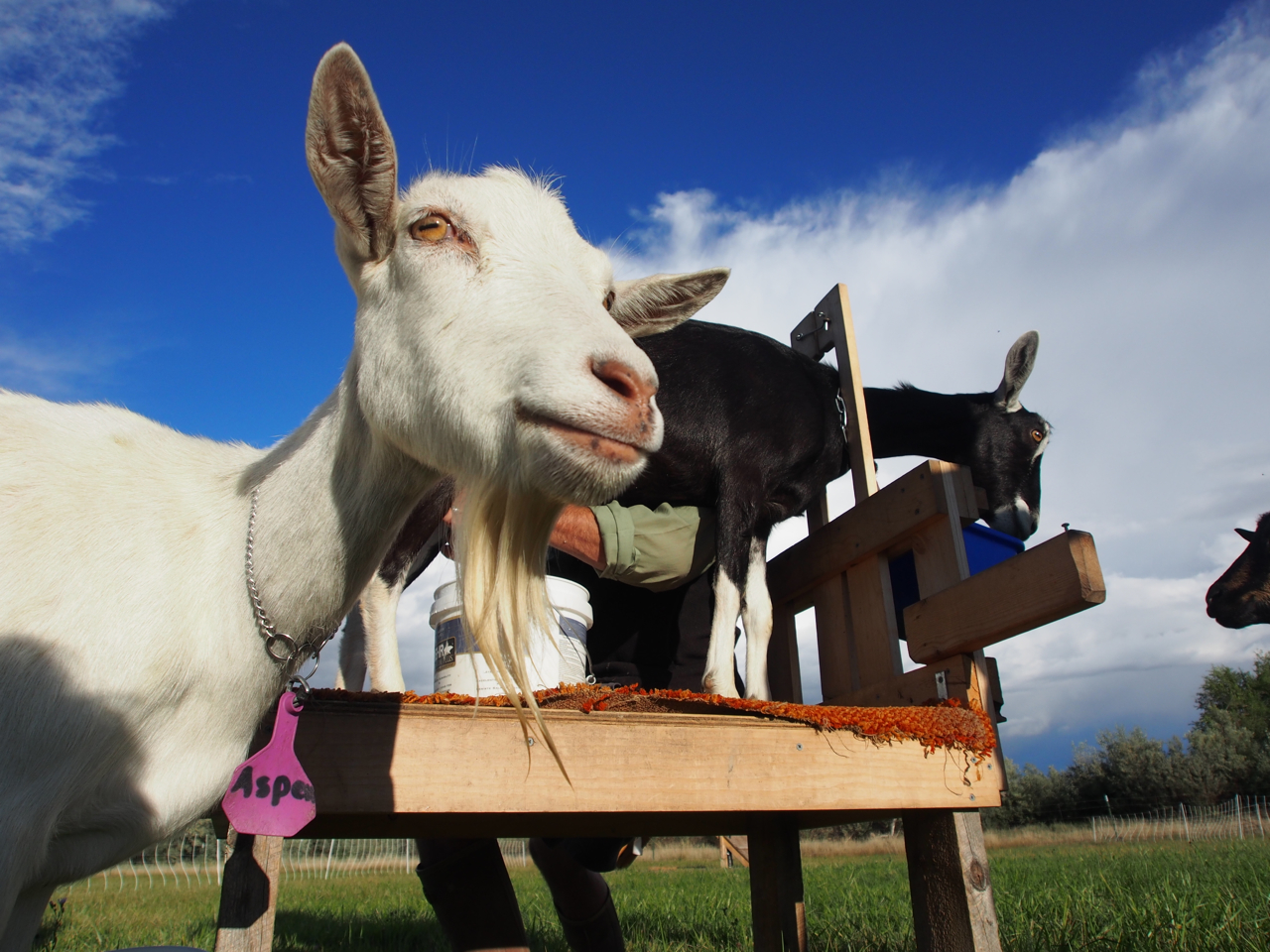
Curious like a cow.
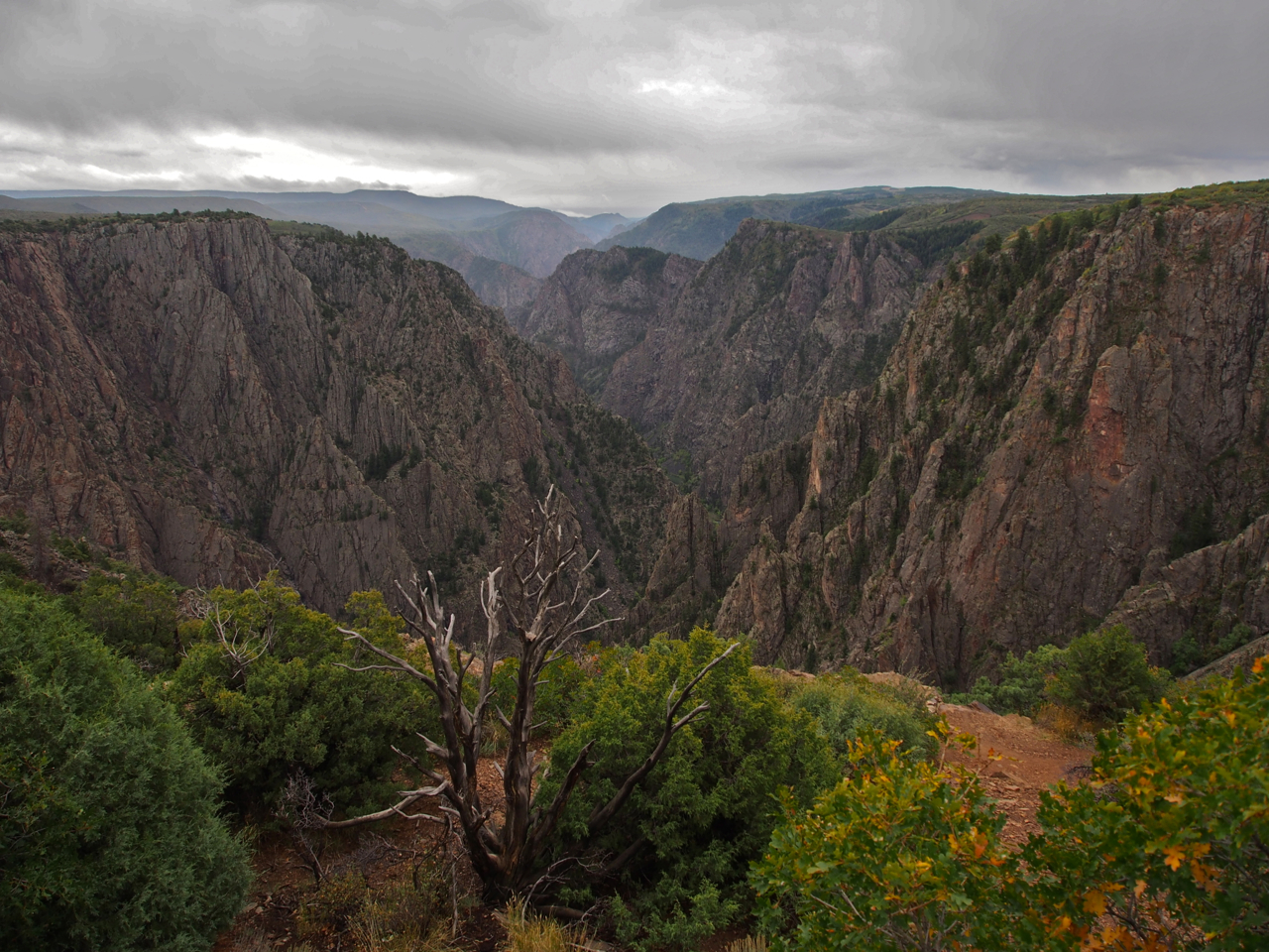
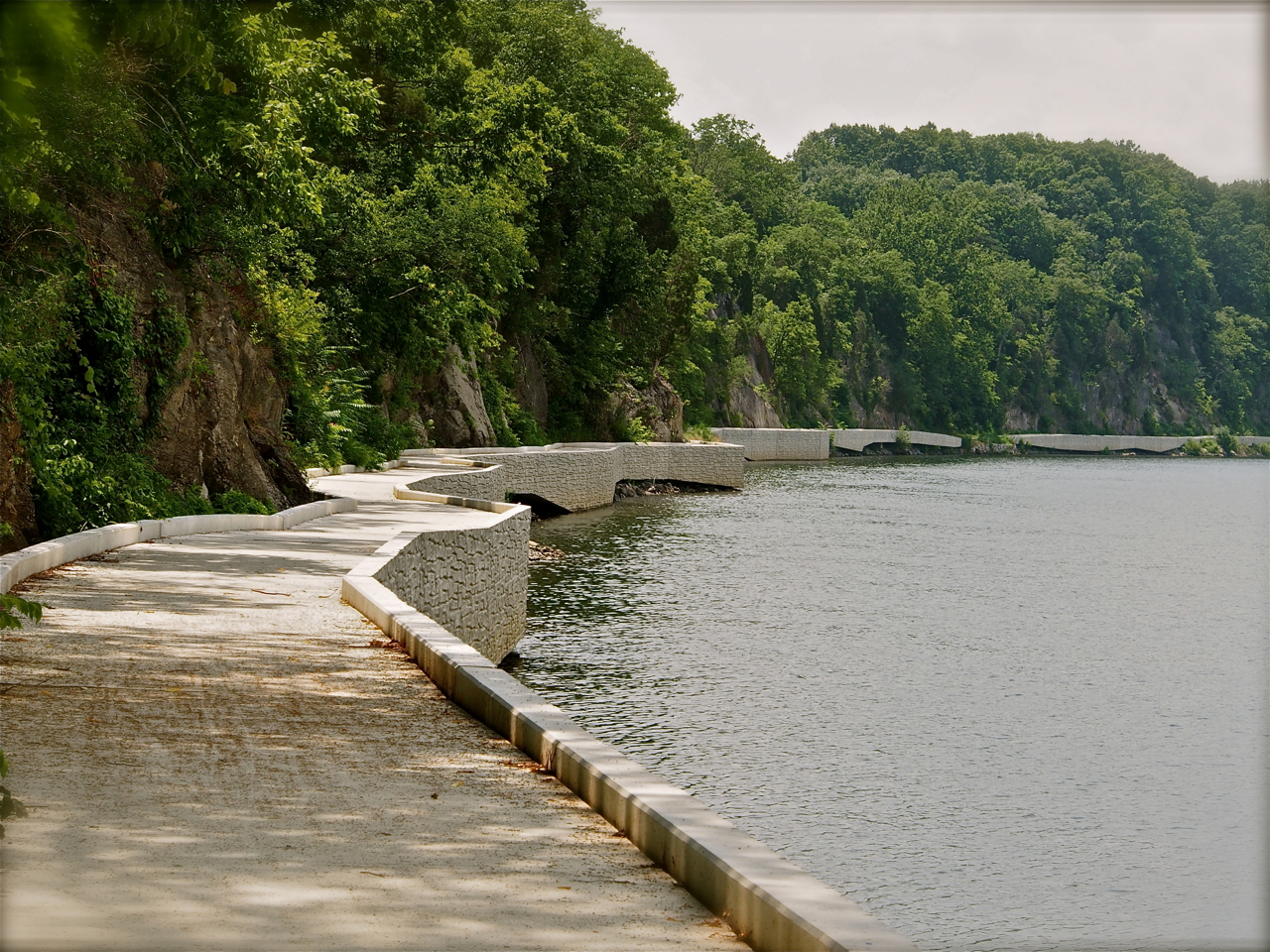
Black Canyon National Park is just outside Montrose. Unfortunately, the clouds rolled in and obscured the view only a few minutes after we arrived.

Our last view of Black Canyon National Park before the clouds rolled in.

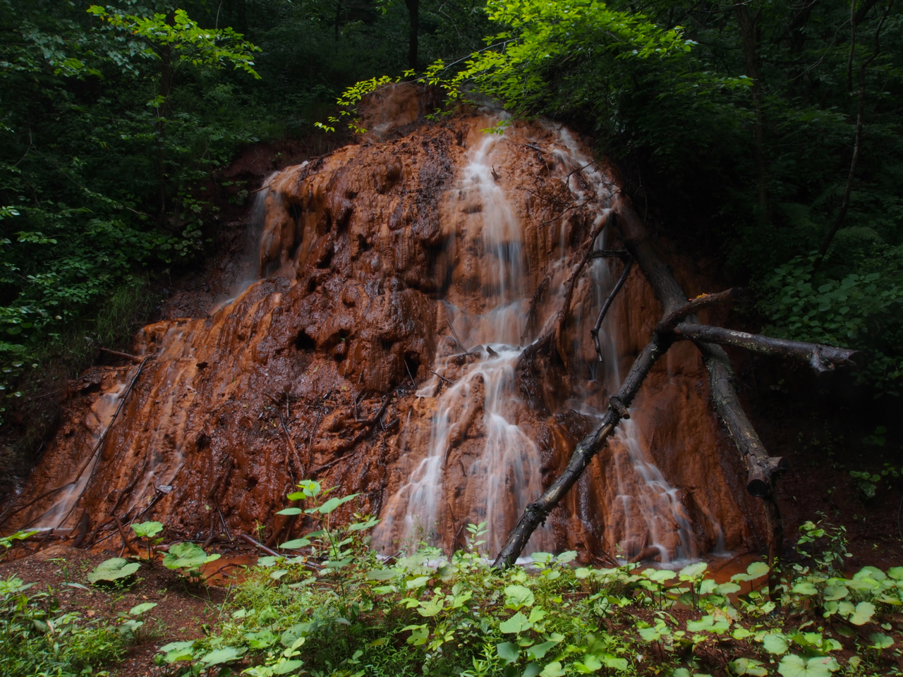
In case you needed another reason to avoid hitchhikers…
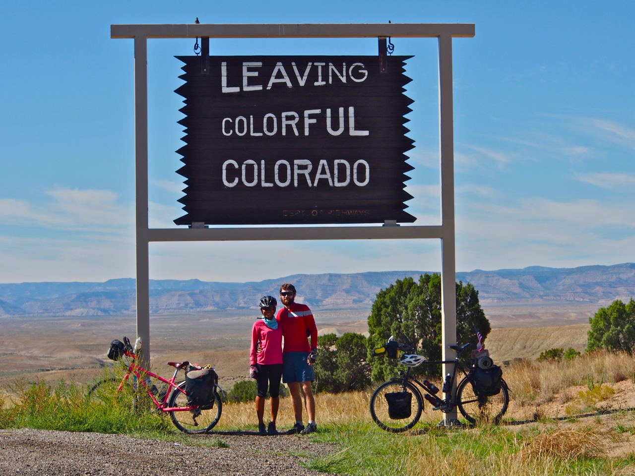
Thanks, Colorado! It’s been great!
Statistics:
September 9: Tribune, KS to Eads, CO, 59.46 miles in 7 hours and 10 minutes
September 10: Eads, CO to Ordway, CO, 63.17 miles in 6 hours and 15 minutes
September 12: Ordway, CO to Pueblo, CO, 50.89 miles in 4 hours and 49 minutes
September 16: Pueblo, CO to Westcliffe, CO, 56.52 miles in 7 hours and 17 minutes
September 18: Westcliffe, CO to Salida, CO, 50.57 miles in 5 hours and 35 minutes
September 19: Salida, CO to Sargents, CO, 33.12 miles in 5 hours and 19 minutes
September 20: Sargents, CO to Gunnison, CO, 34.2 miles in 3 hours and 8 minutes
September 21: Gunnison, CO to Montrose, CO, 62.96 miles in 6 hours and 59 minutes
September 23: Montrose, CO to Grand Junction, CO, 67.76 miles in 6 hours and 7 minutes
Total miles: 478.65 miles