Here’s the final blog post from our cross-country cycling trip. The 3,800+ miles that we cycled only required 80 riding days, but we managed to stretch it out into a five-month journey.
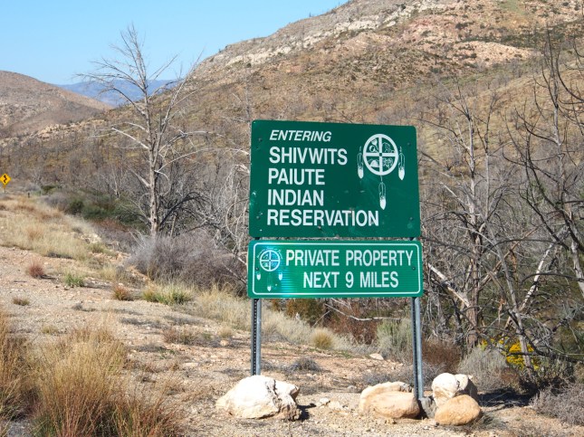
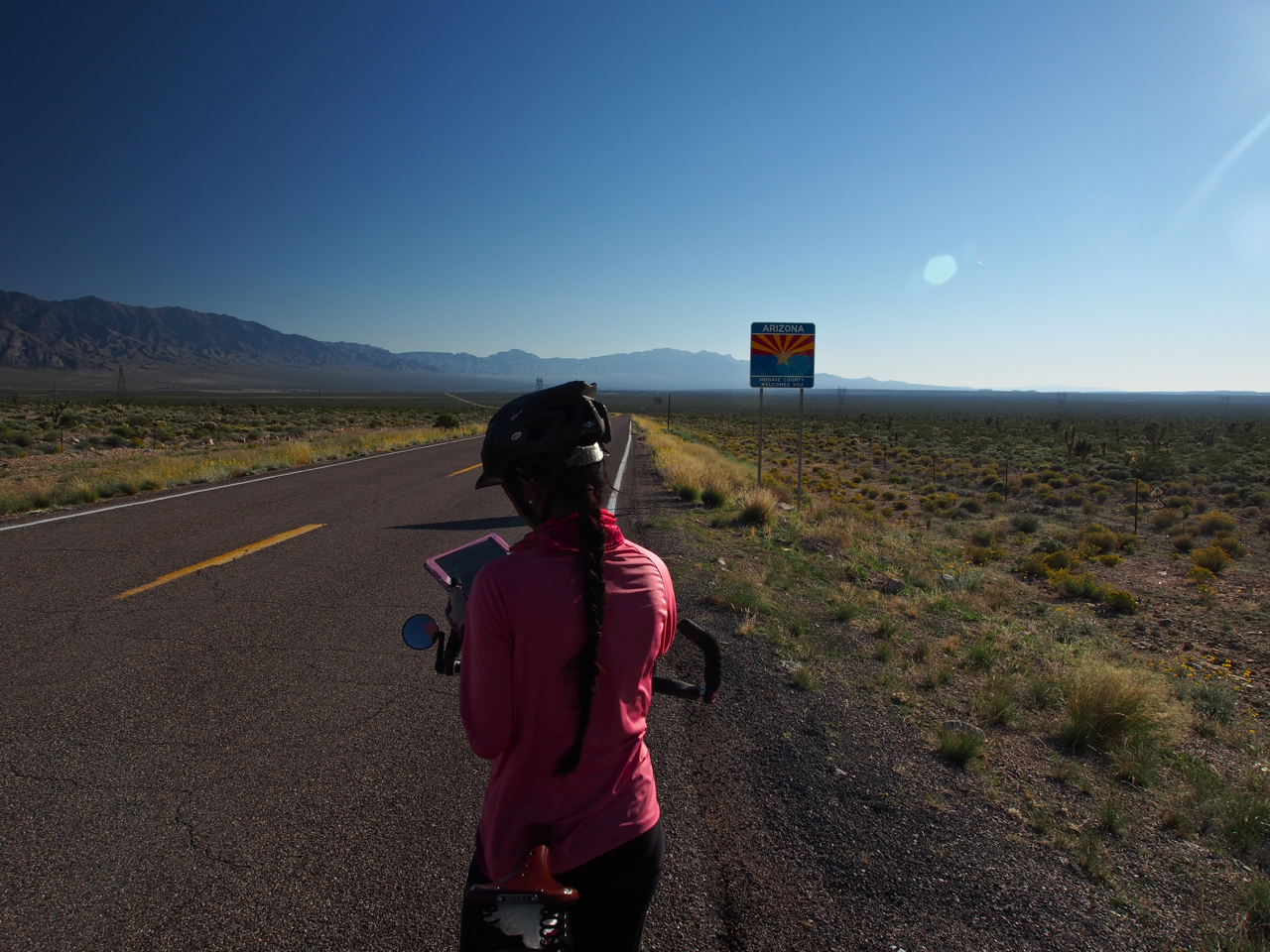
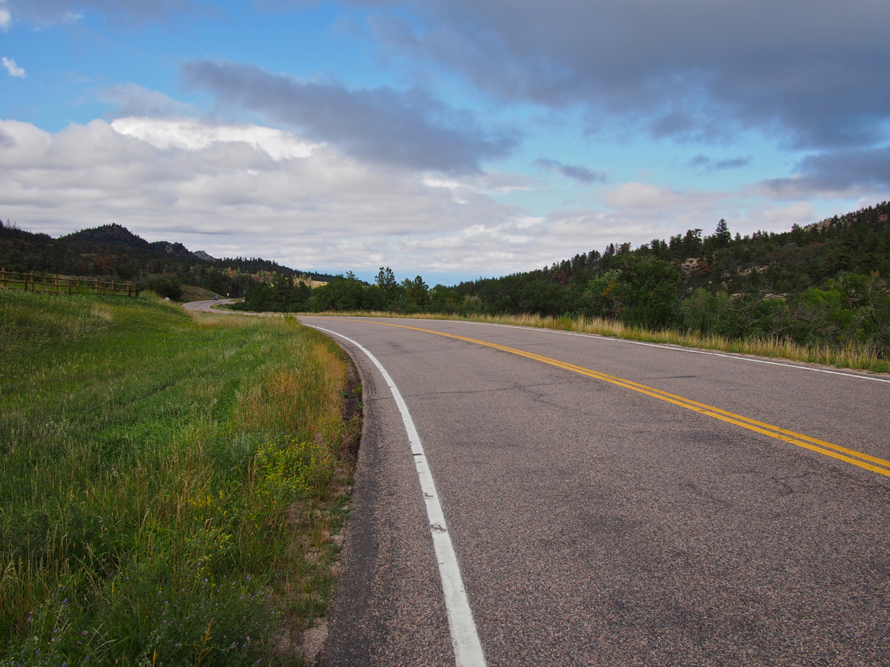
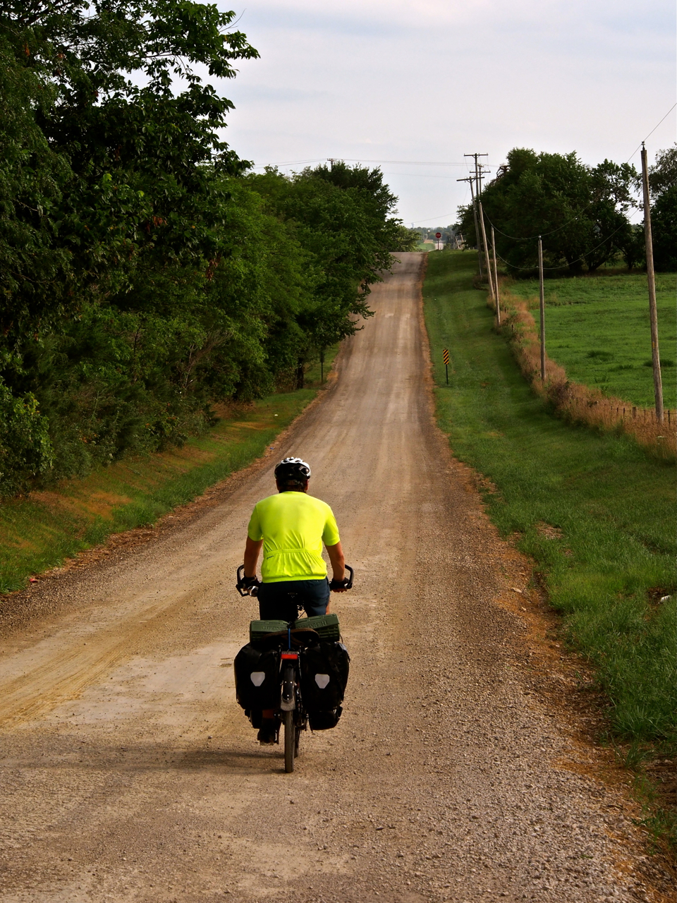
After riding out of St. George, UT, we passed through the northwest corner of Arizona on our way to Nevada. The most direct route would have been to cycle on the interstate, but a more relaxing and legal option is to take a northwestern route through the Shivwits Indian Reservation.

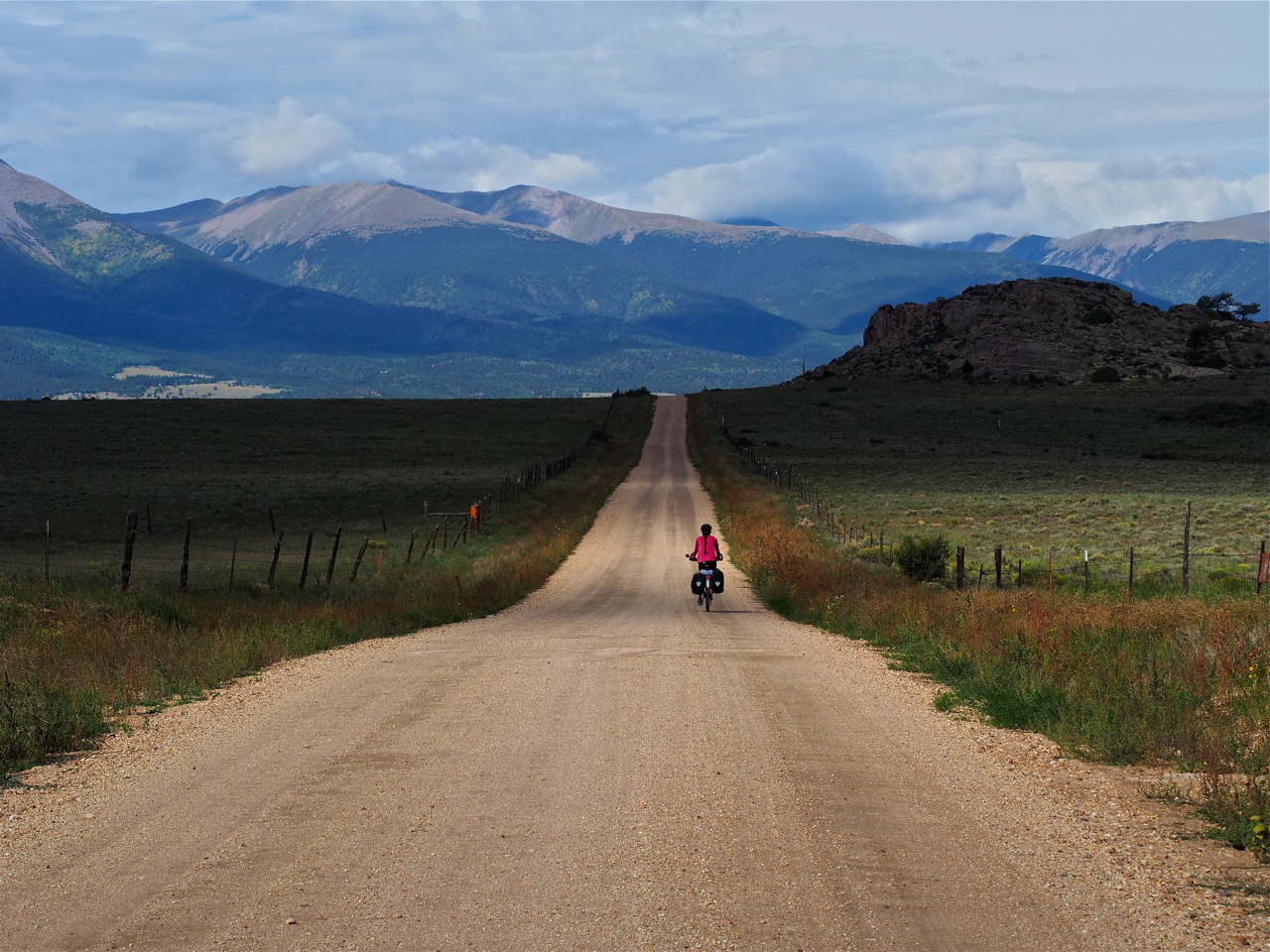
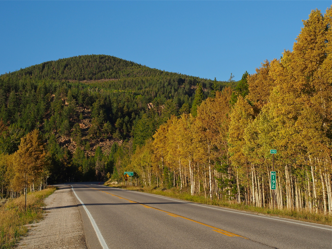
After reaching the crest of the climb on Old Highway 91 out of St. George, we were treated to a 17-mile descent.
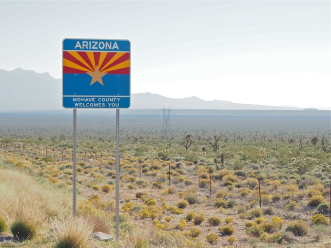
The long descent also carried us through the northwest corner of Arizona. It was a short stay, though. After only about two or three hours of pedaling we crossed the border into Nevada.

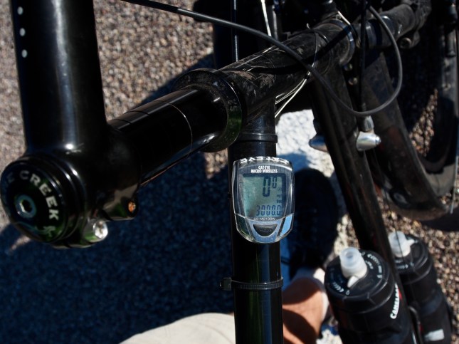
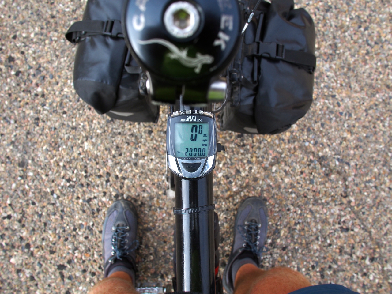
Here’s my odometer clocking the 3,000th mile of the trip. We didn’t know it at the time, but there were just 821 miles (1,330km) between us and the end of the ride…
We rolled into Mesquite, NV at dusk, and low on water. We struck up a conversation with a local, Alfred, who offered to fill our water bottles. One thing led to another, and he wound up letting us camp out on his patio, too. Alfred and his wife were another example of the kind of quality folks we encountered in the western states.
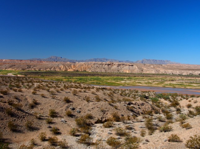
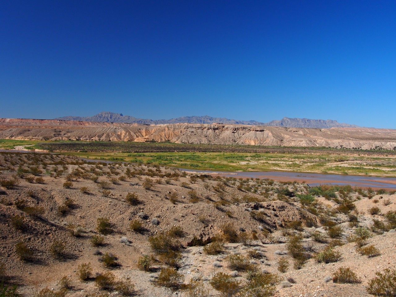
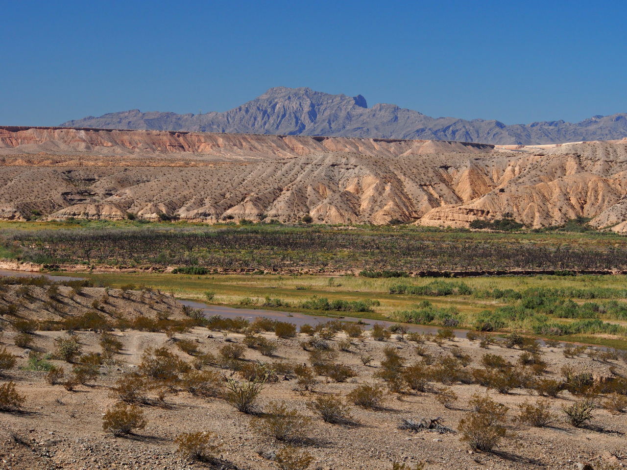
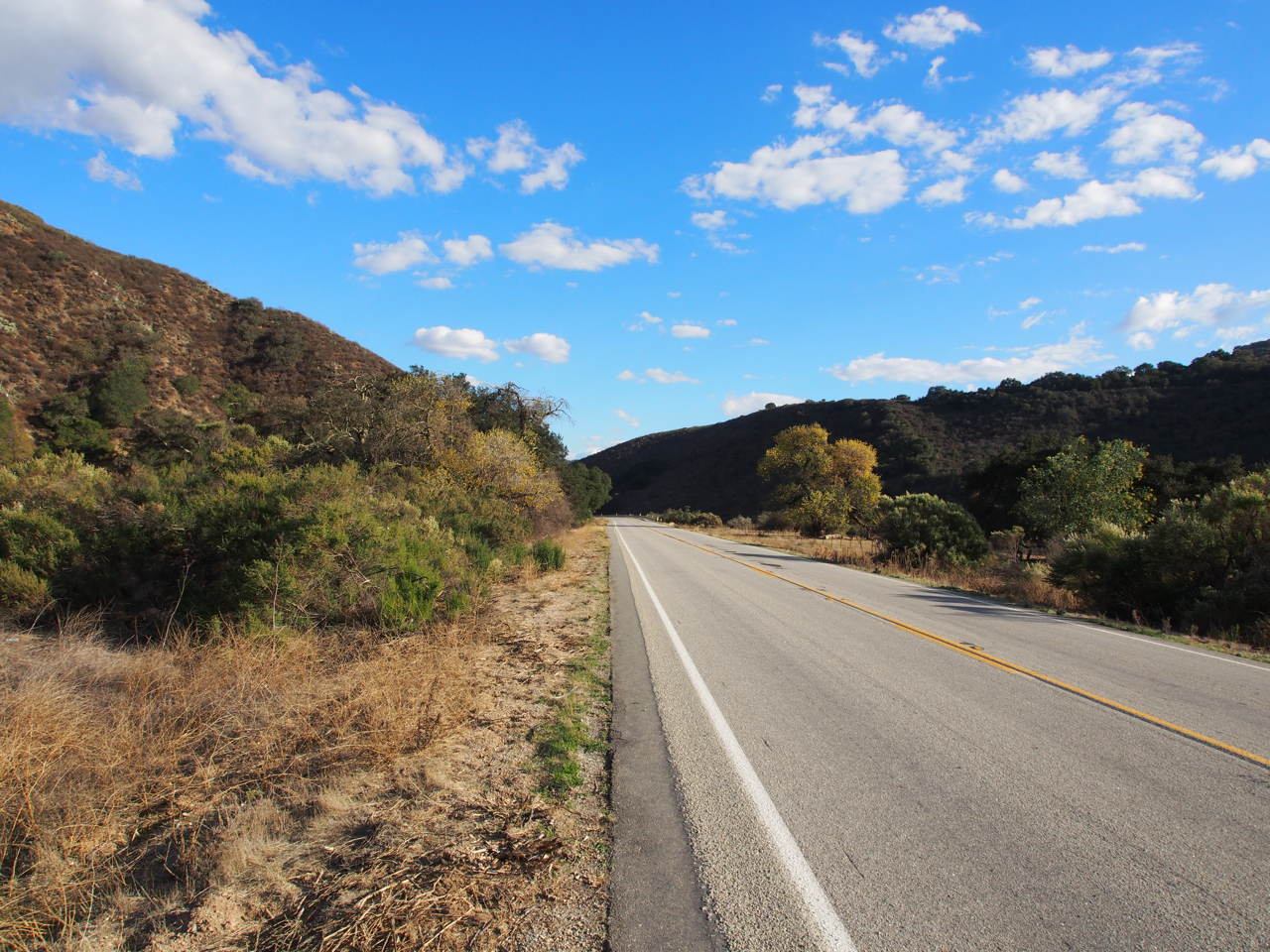
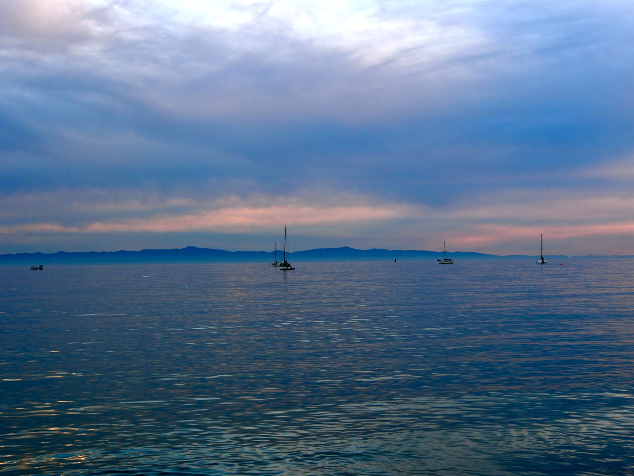
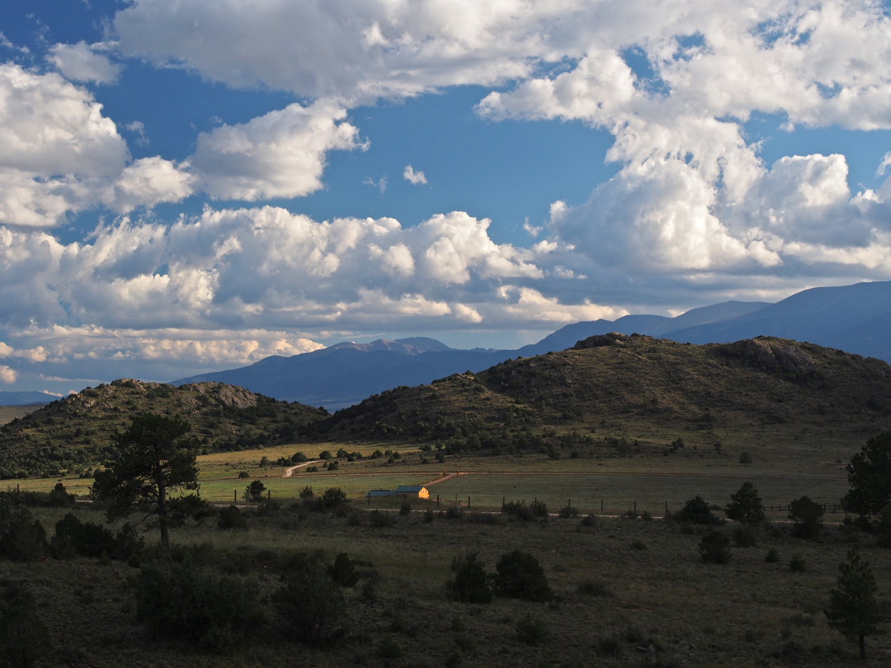
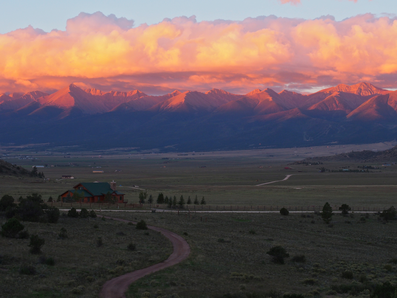
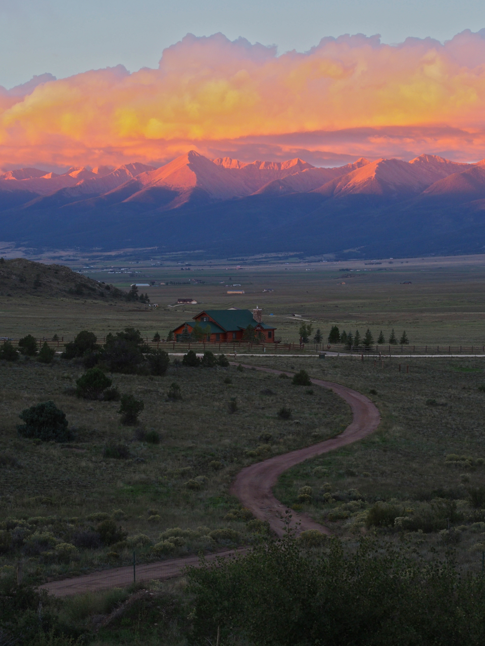
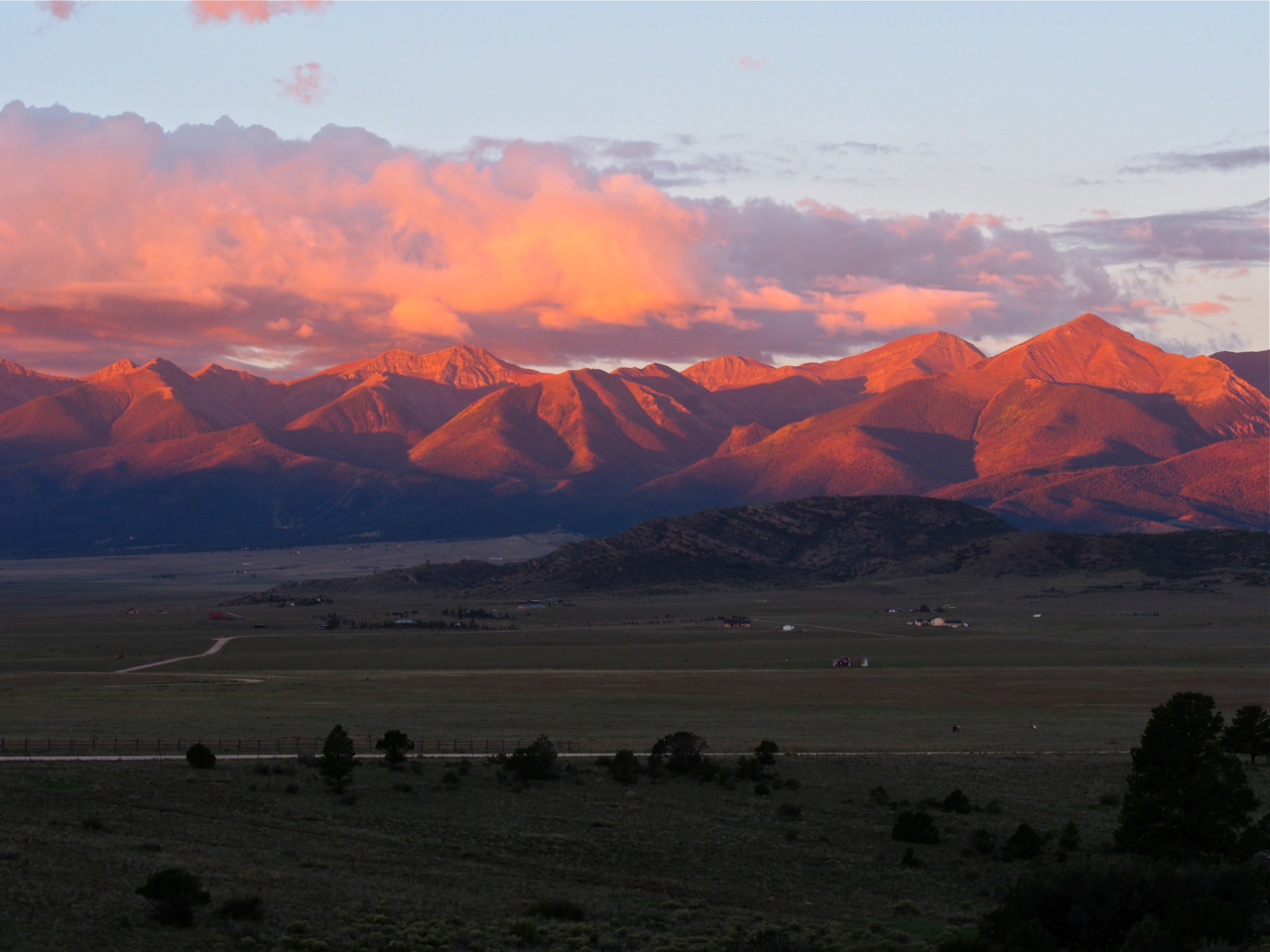
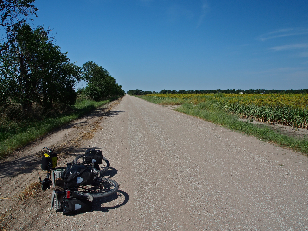
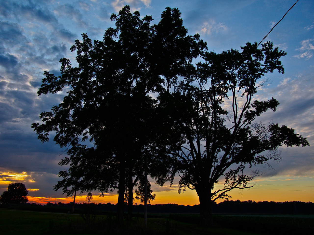
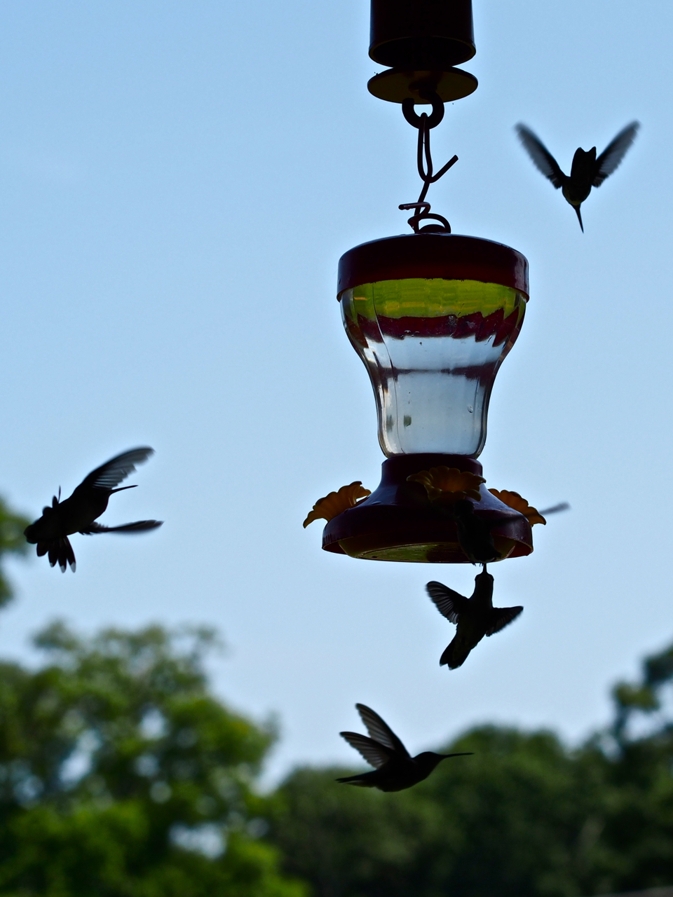
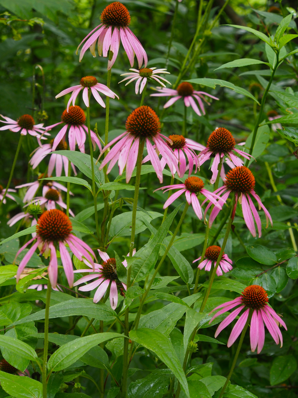
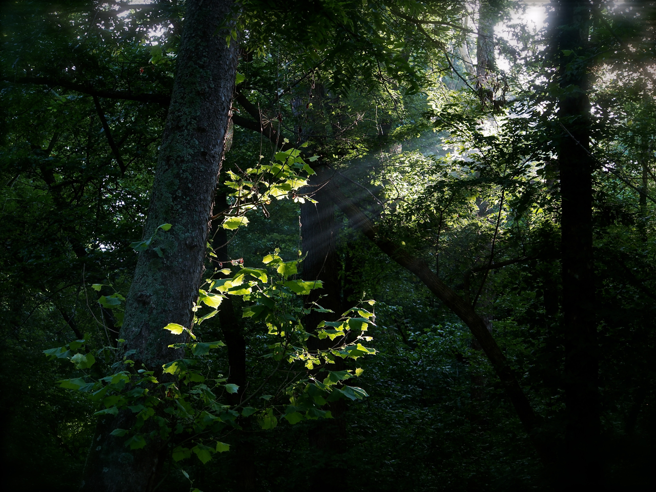
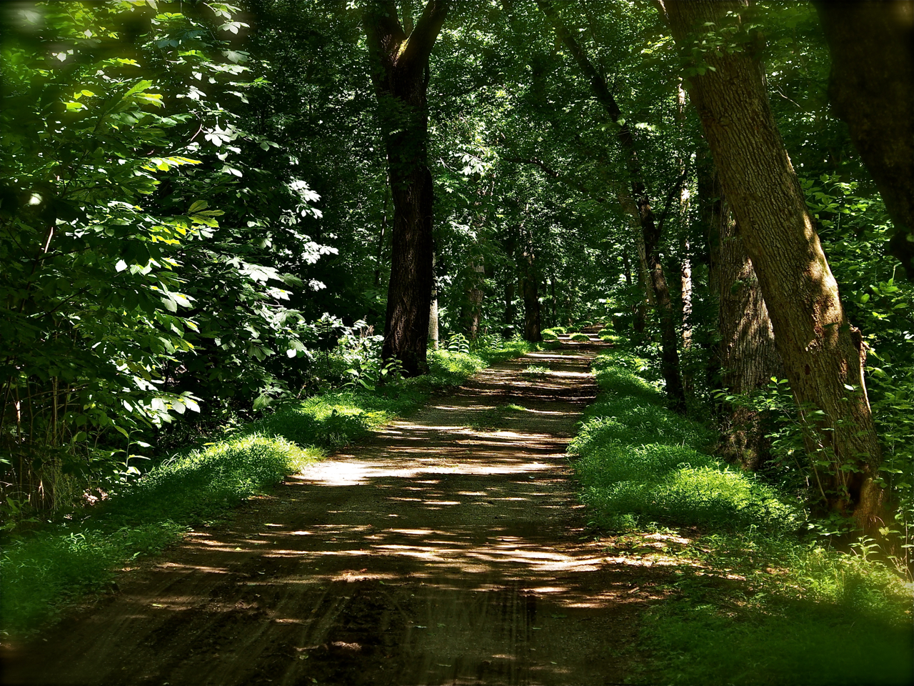
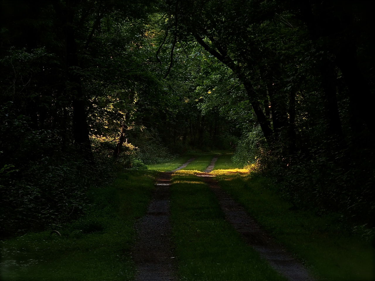
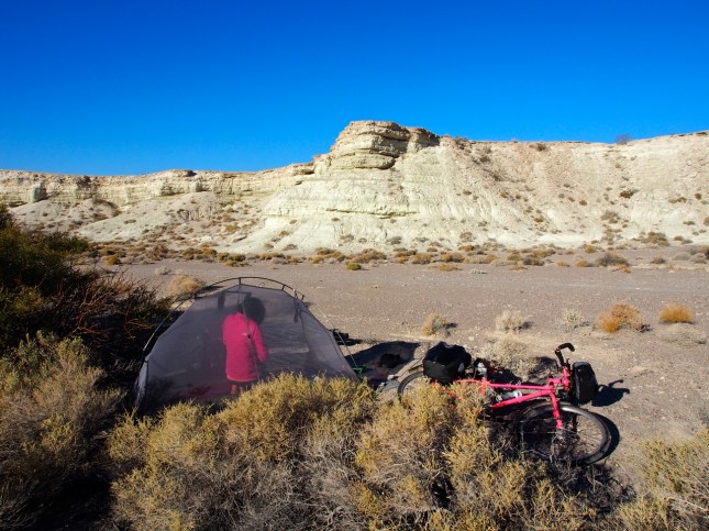
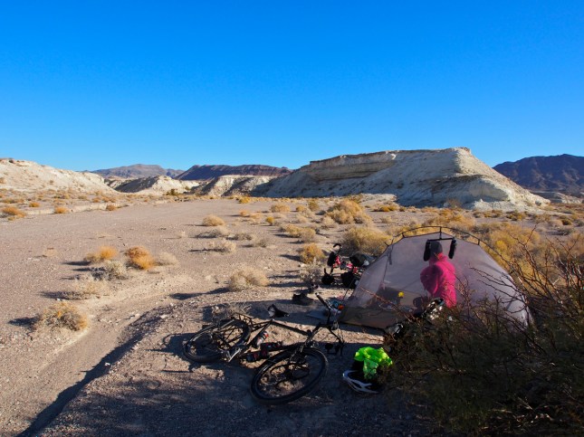
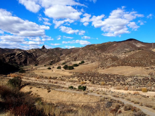
A desert scene west of Mesquite, NV
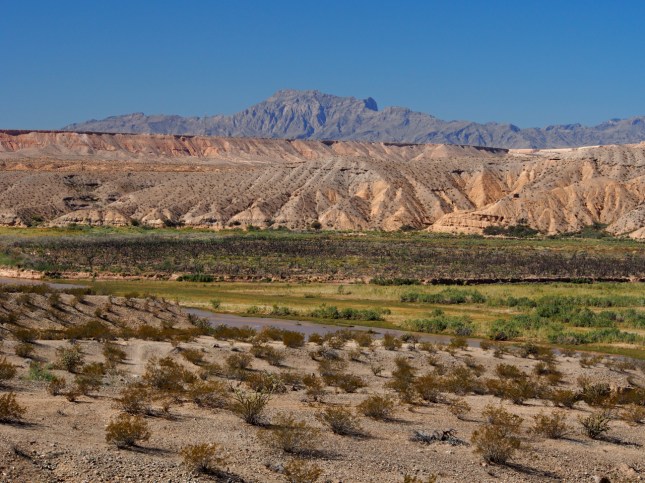
A desert scene west of Mesquite, NV

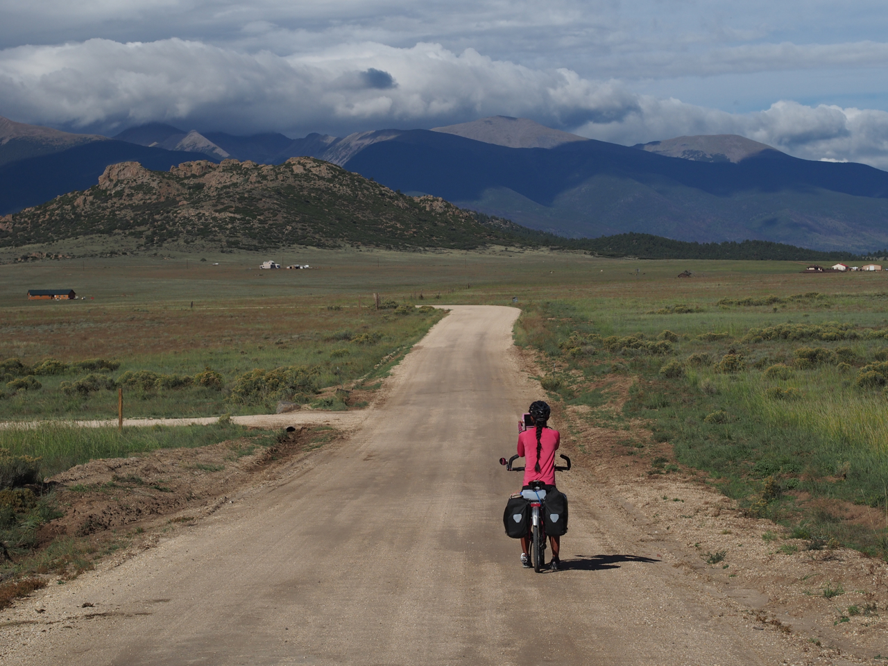
The road out of Mesquite was pretty mellow. Most of the traffic gravitates toward I-70, on the other side of the valley. Unfortunately, we were eventually forced to ride on I-70. I suspect there was a minor, unpaved alternative route that we missed.

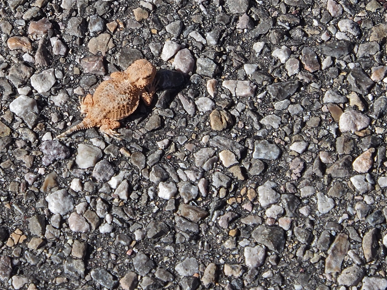
Apparently we weren’t the smallest and most vulnerable critters on the road. This horny toad lizard was about the size of a dime.
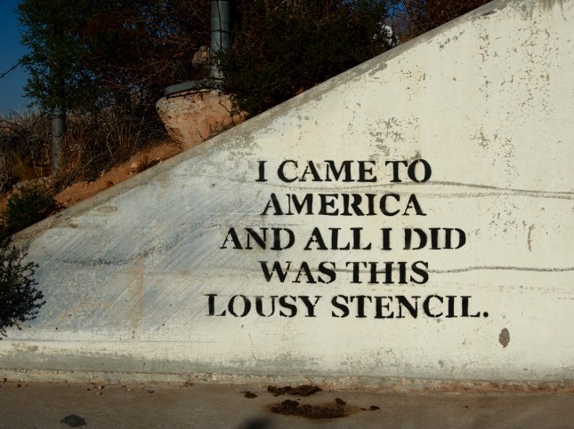
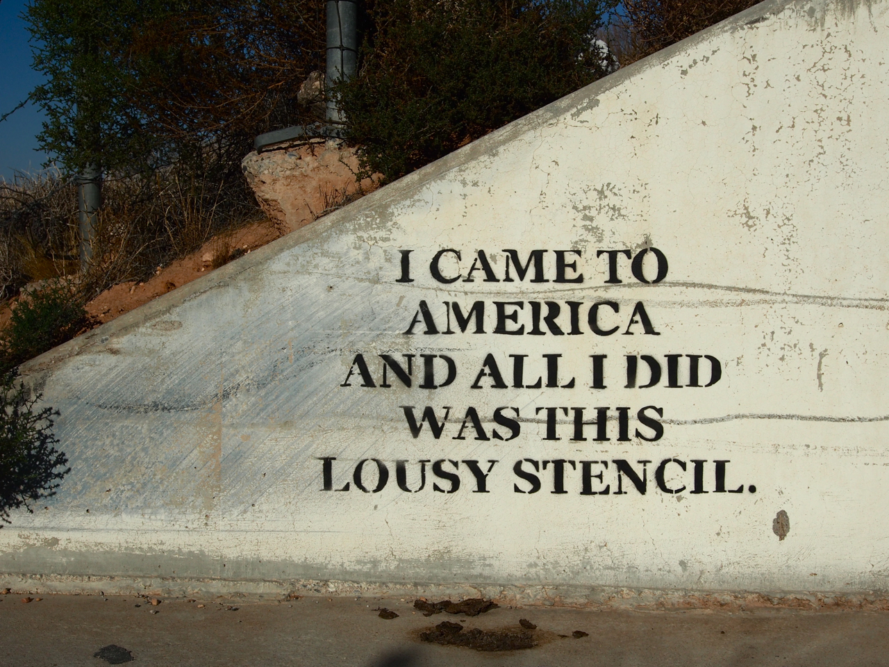
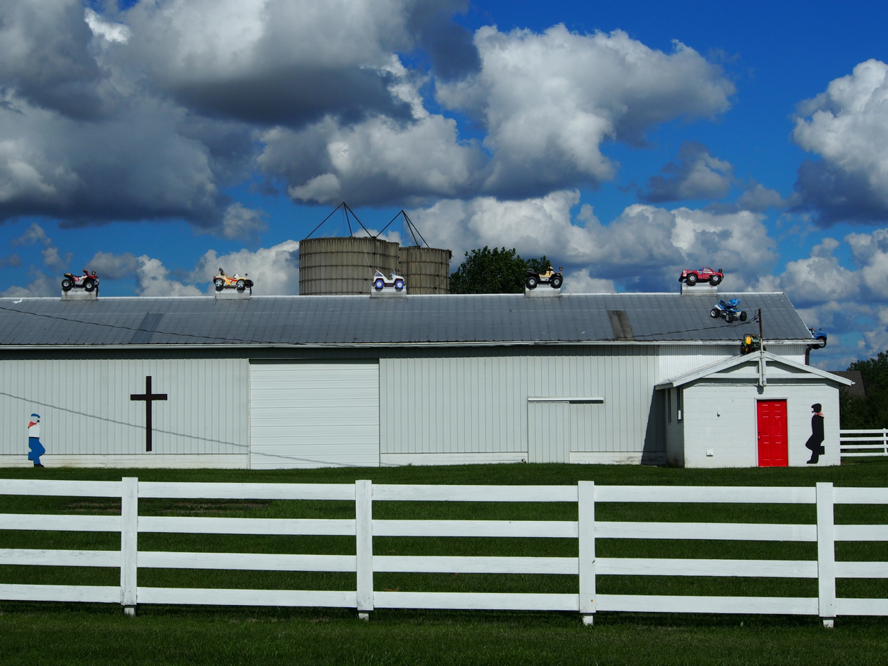
We discovered this lousy stencil when we pulled off the main road for a little break under an overpass.
On our second night in Vegas we linked up with Eyna’s friend from the Philippines, Koji. He was kind enough to drive us around downtown and show us some of the sights.

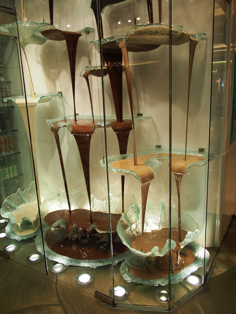
A chocolate fountain.
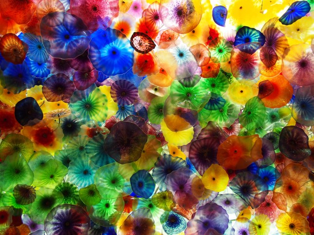
An artisanal glass ceiling in a casino.


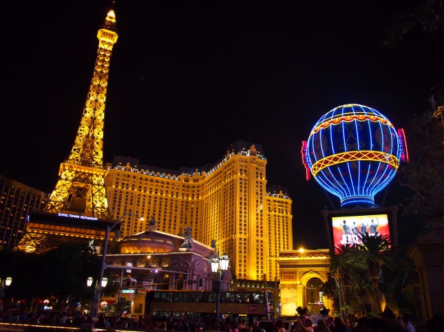
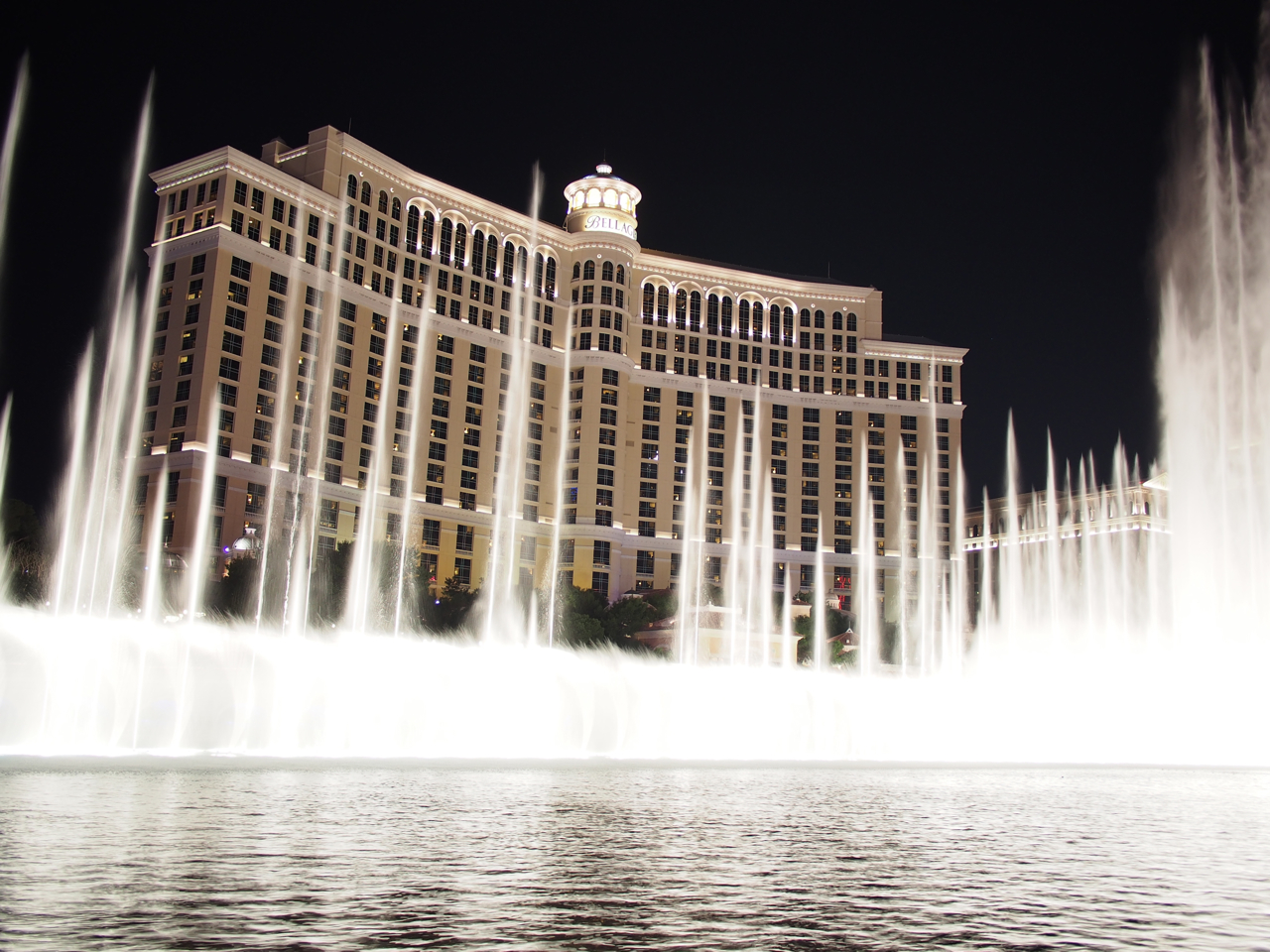
Boom.

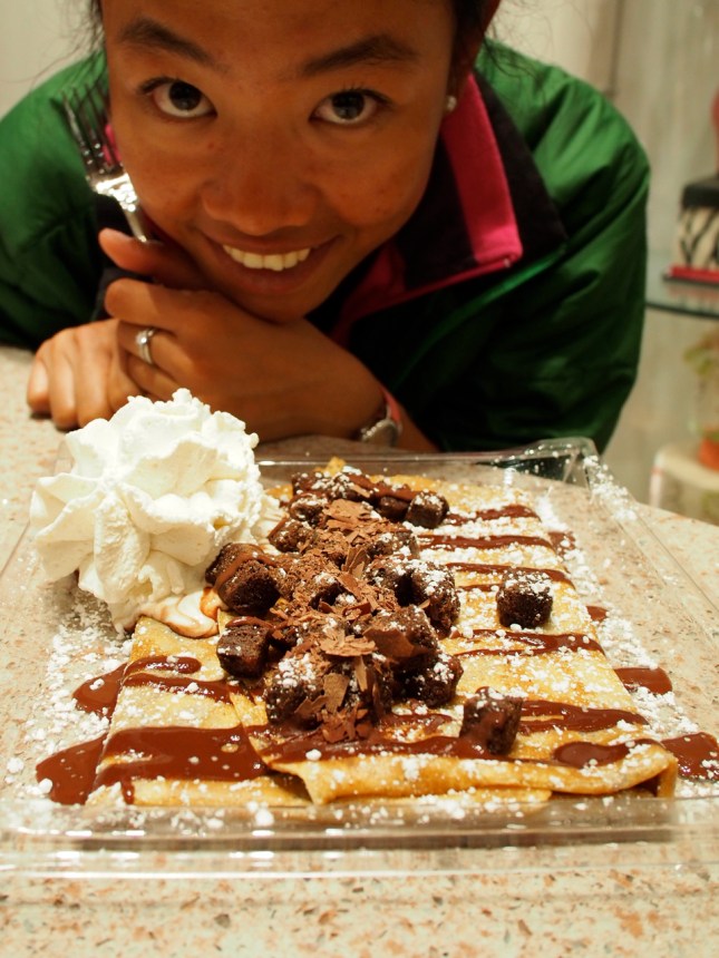
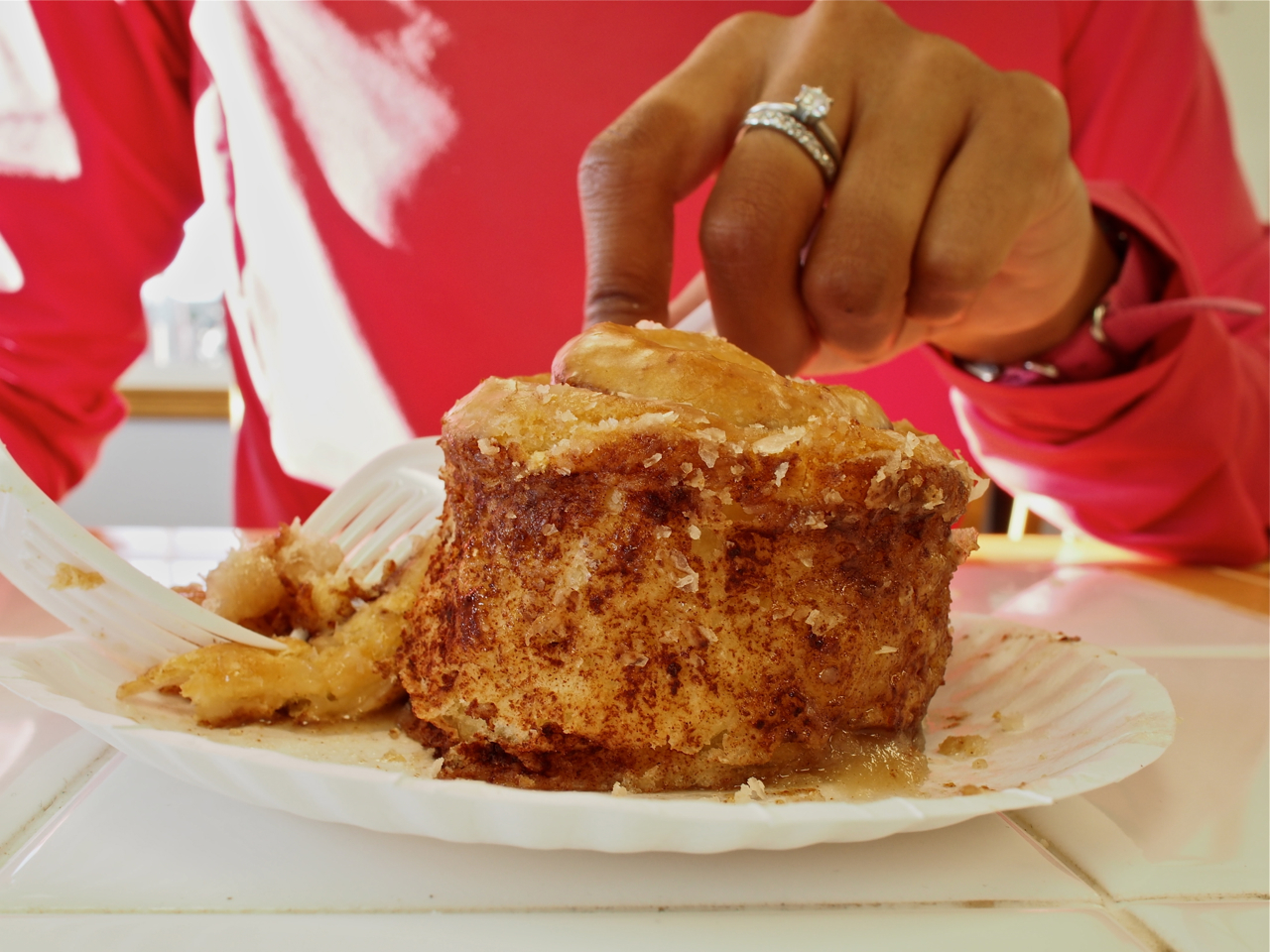
Eyna and I don’t drink, gamble, or dance, but we have a deep appreciation for sweets.
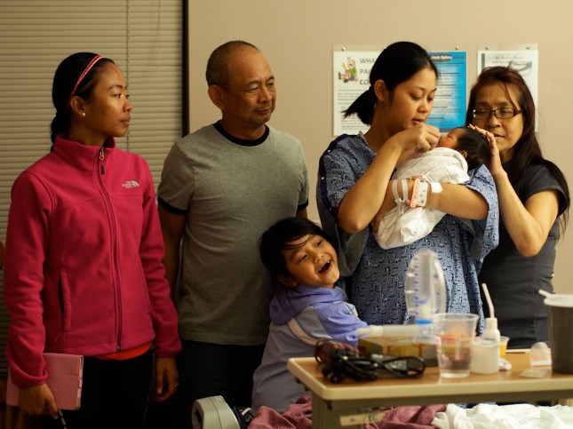
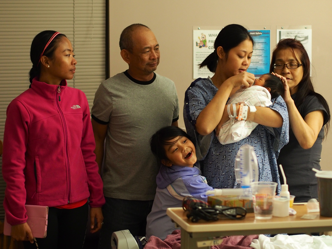
Our time in Vegas coincided with the sprouting of a new branch on the Madrid family tree.
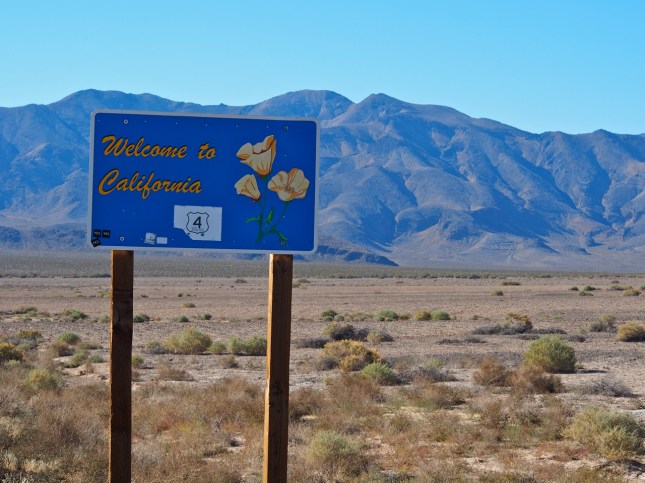
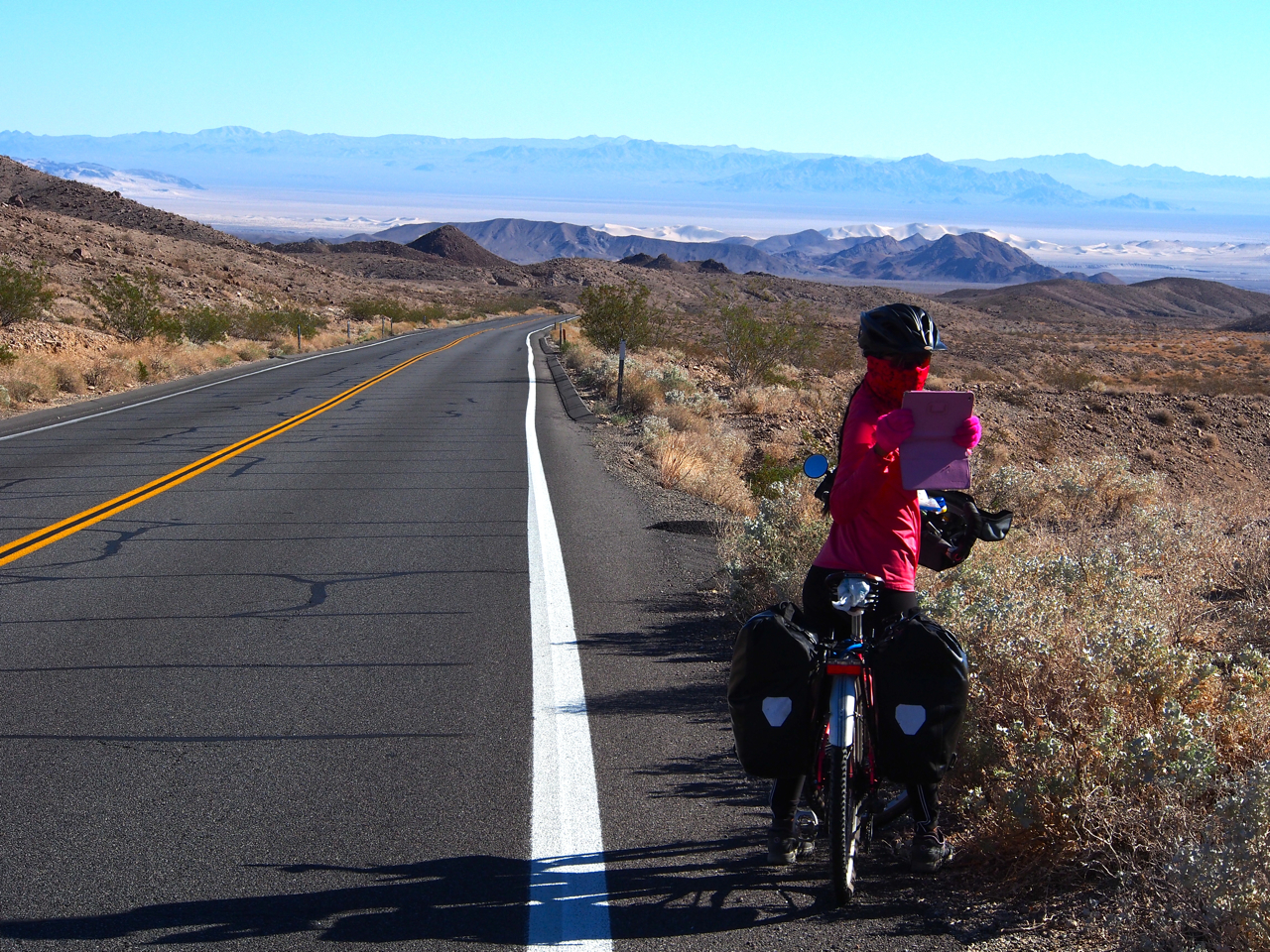
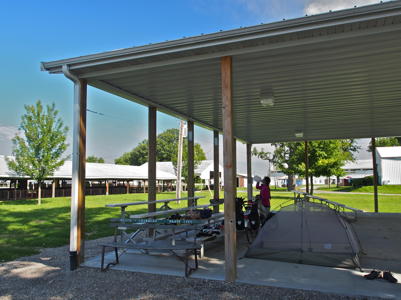
After an extended stay in Vegas with family and friends, we pedaled 65 miles to the border town Pahrump, NV. The following morning we rode into the 13th and final state of our trip.

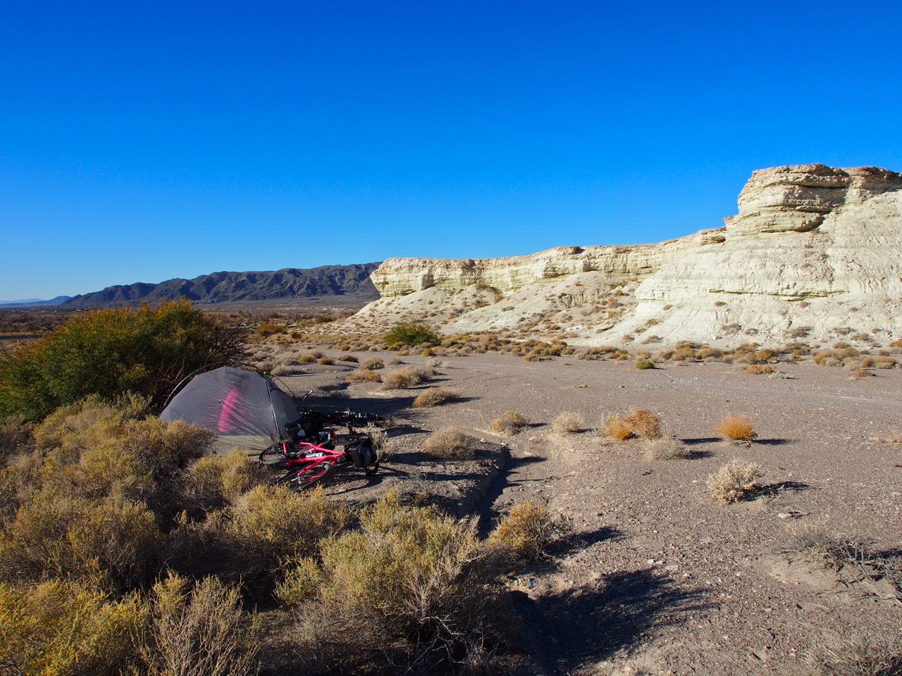
Our first night in California was spent on public land just outside of Death Valley.
The weather was perfect. If we were passing through in the summer, though, we would have been confronted by temperatures in excess of 120 degrees.
A perfect, secluded site.


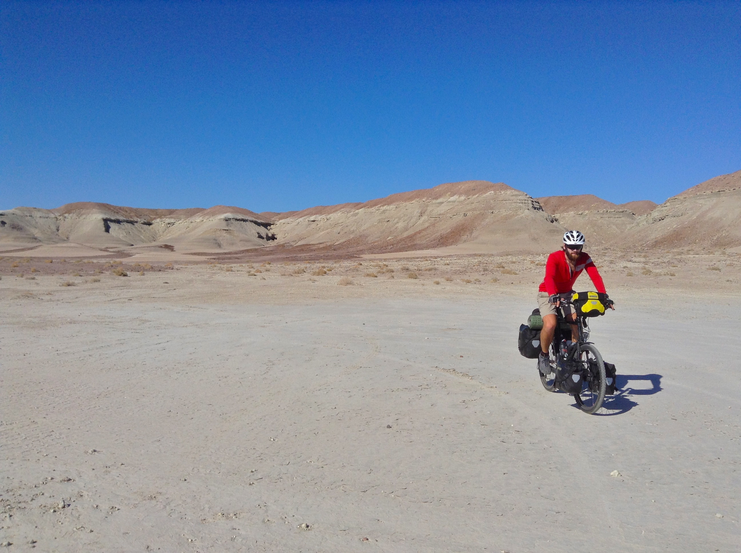
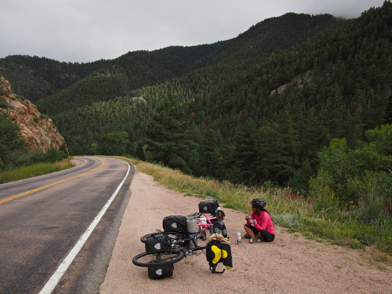
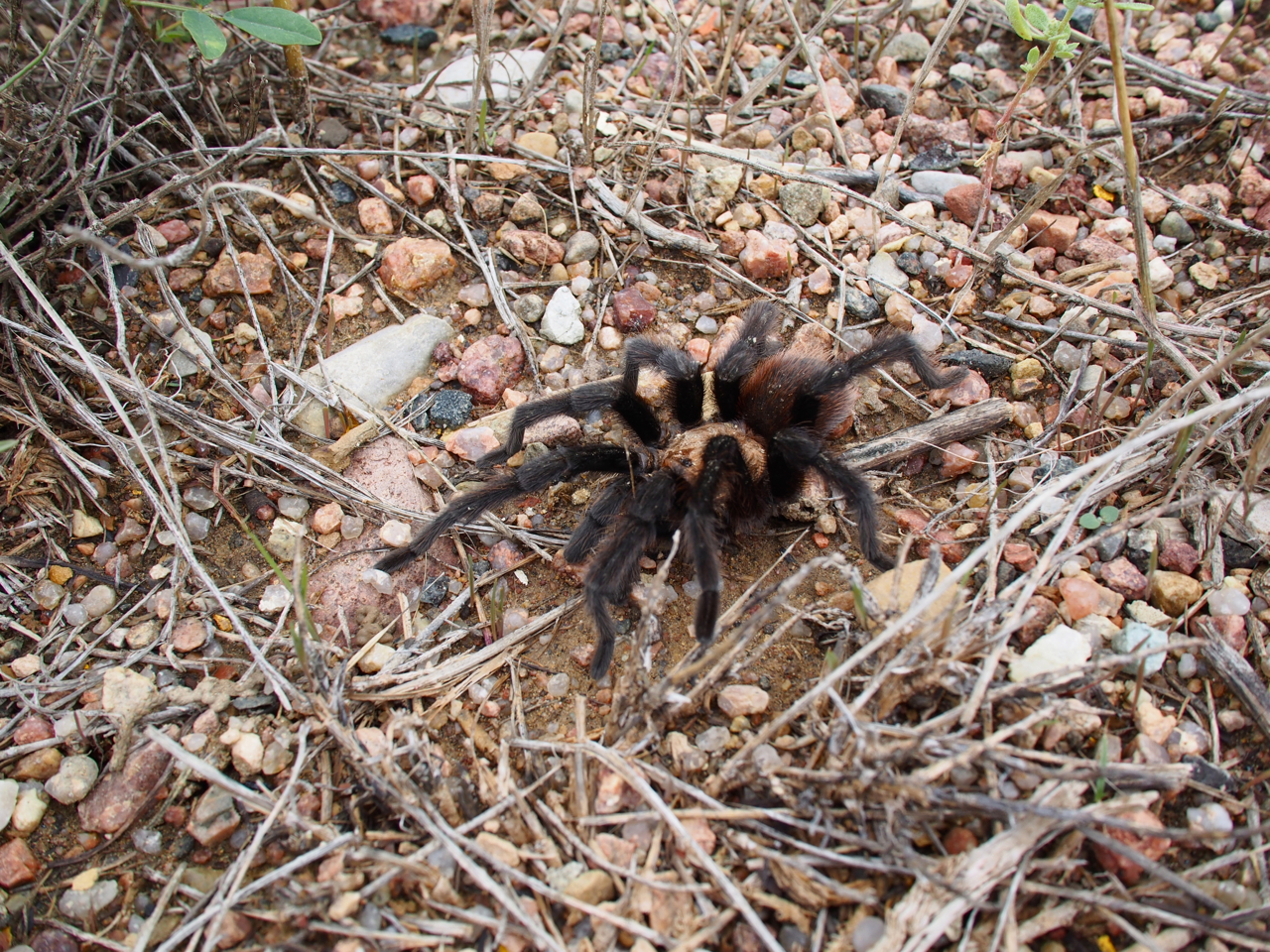
A gentile 500 foot climb out of Shoshone, CA put us at Ibex pass.

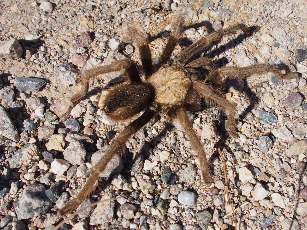
A resident of Ibex Pass. This guy was easily the size of my hand.
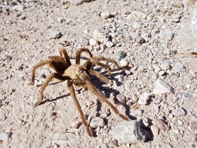
A tarantula with 8.5 legs?


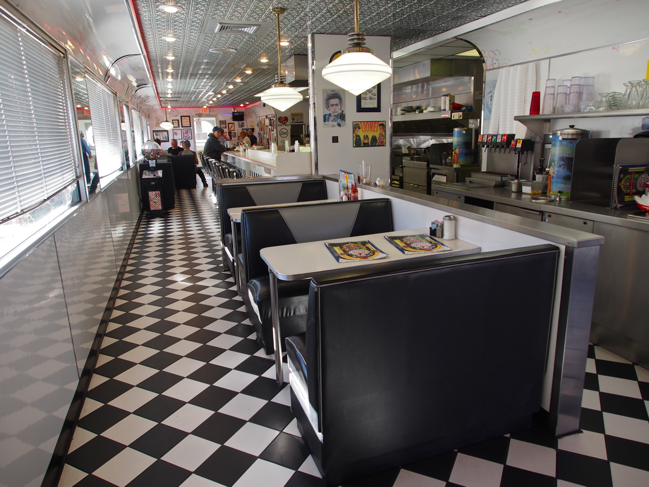
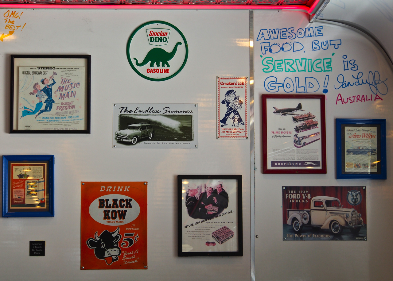
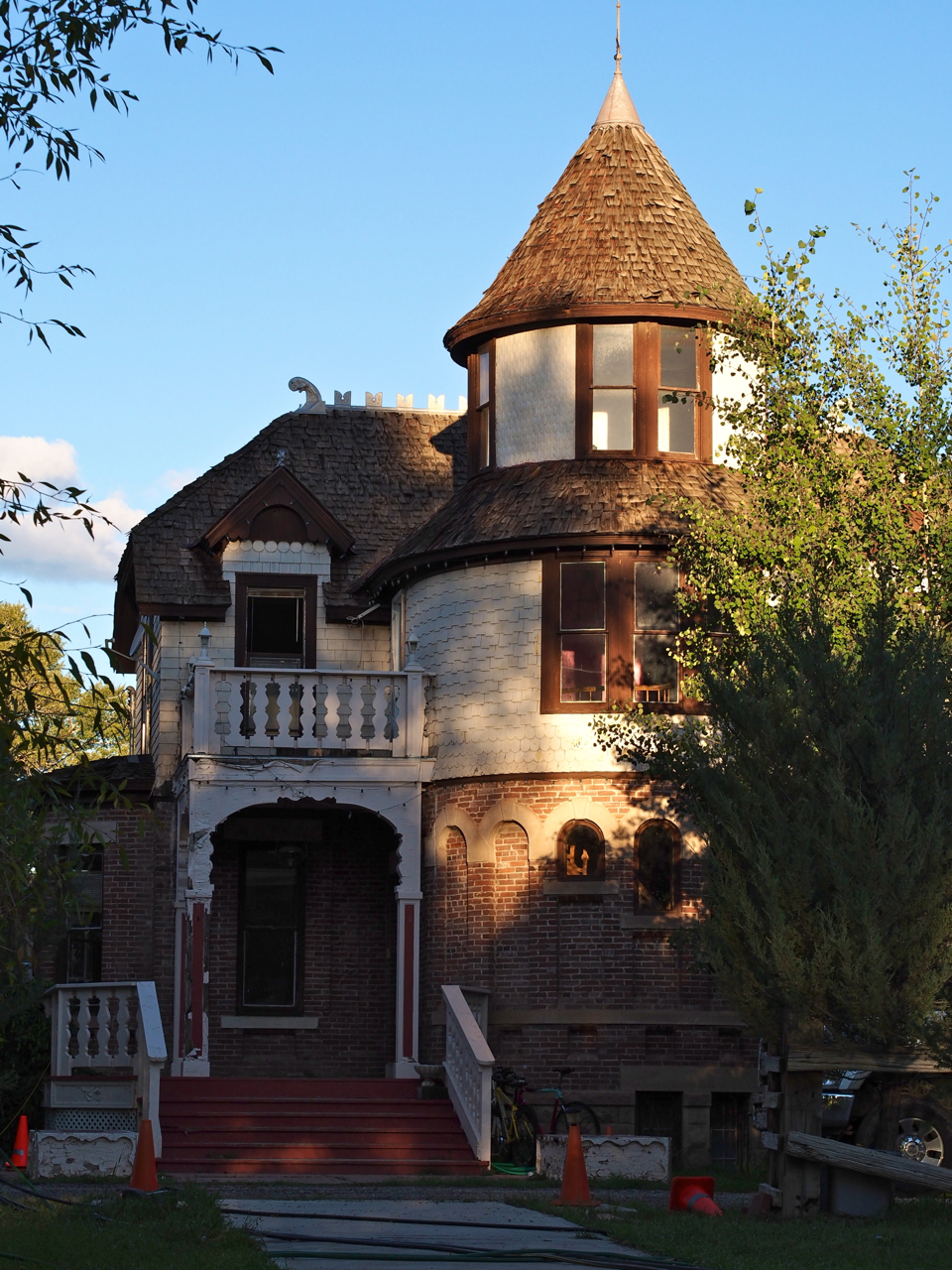
In Yermo, we met a waitress who was from Rockville, MD.


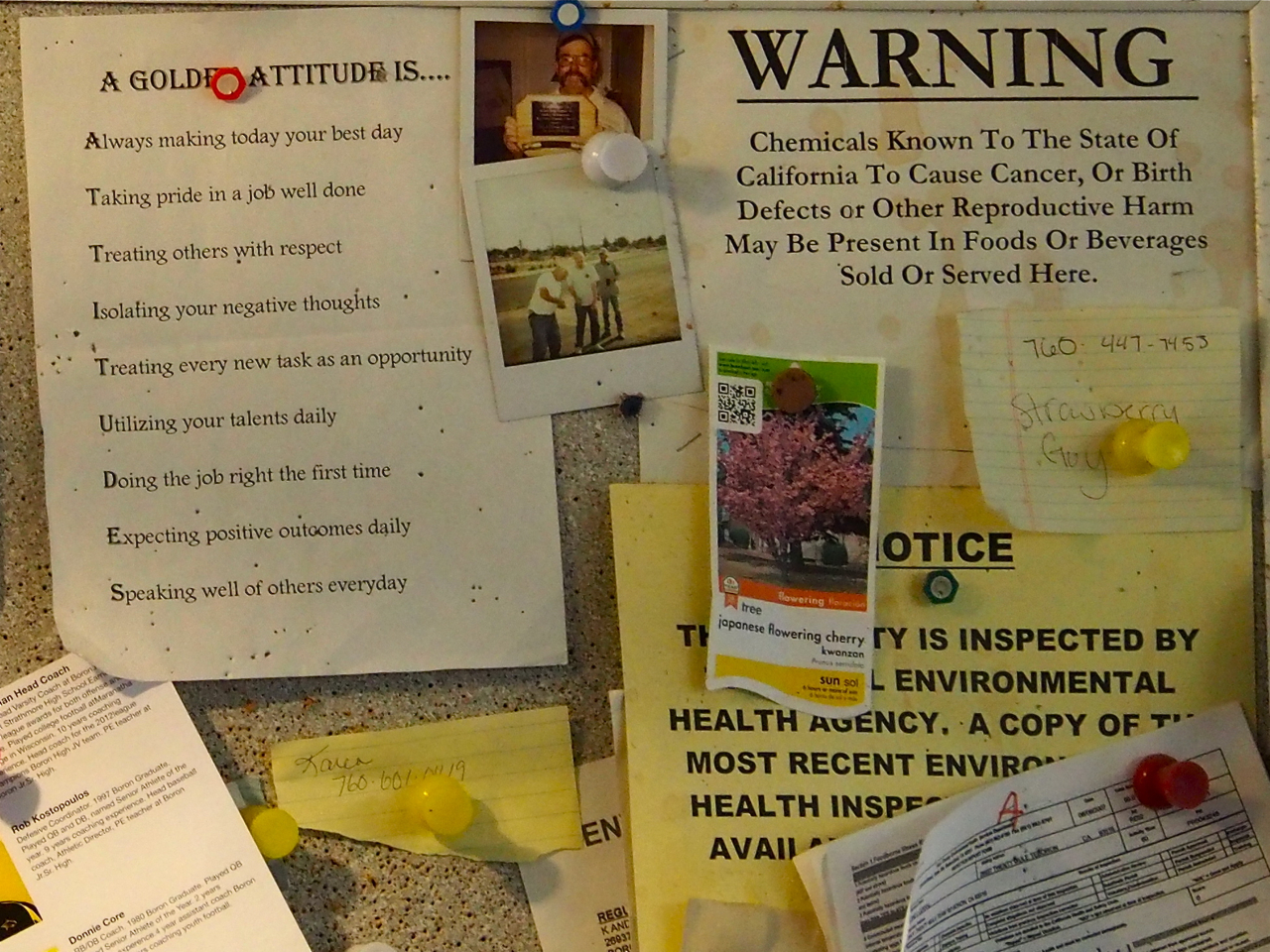
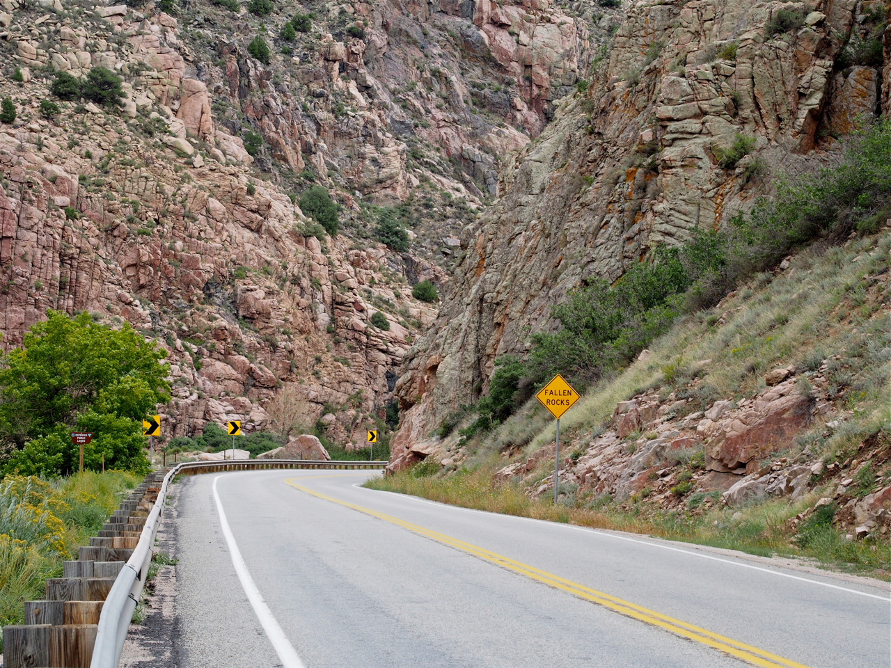
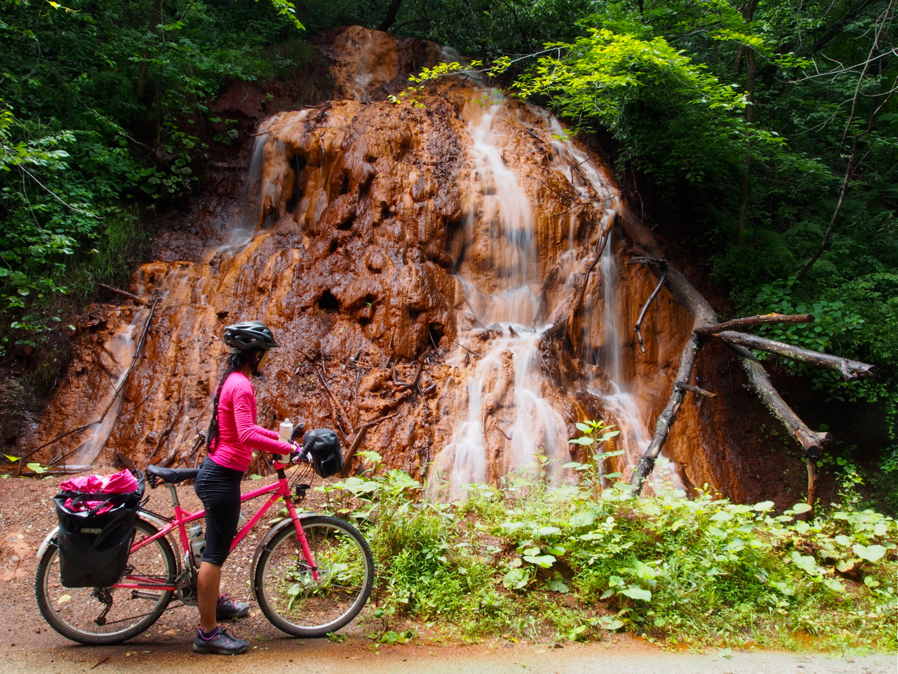
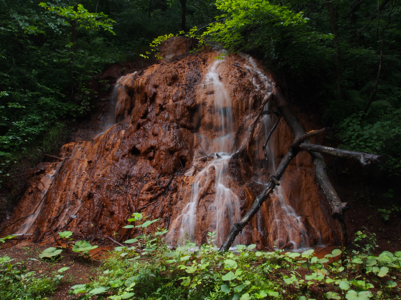
Notice the warning message on the top right side of this bulletin board in a cafe in Boron, CA. A bit disconcerting, isn’t it? There were quite a few towns in the Mojave desert that had been polluted by toxic spills, dumping, or leakage of industrial chemicals.

I had heard such great things about California, but I developed a different impression during our ride. The inland area was post-apocolyptic, and the coast was crowded and commercialized. It was also the only state where we experienced unprovoked hostility from drivers, who beeped at us and even tried to run us off the road in a few cases.
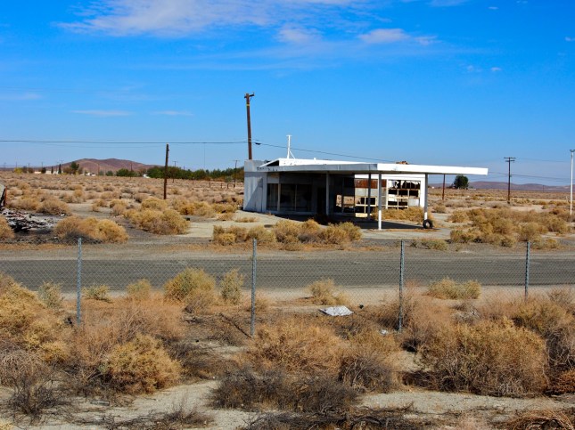
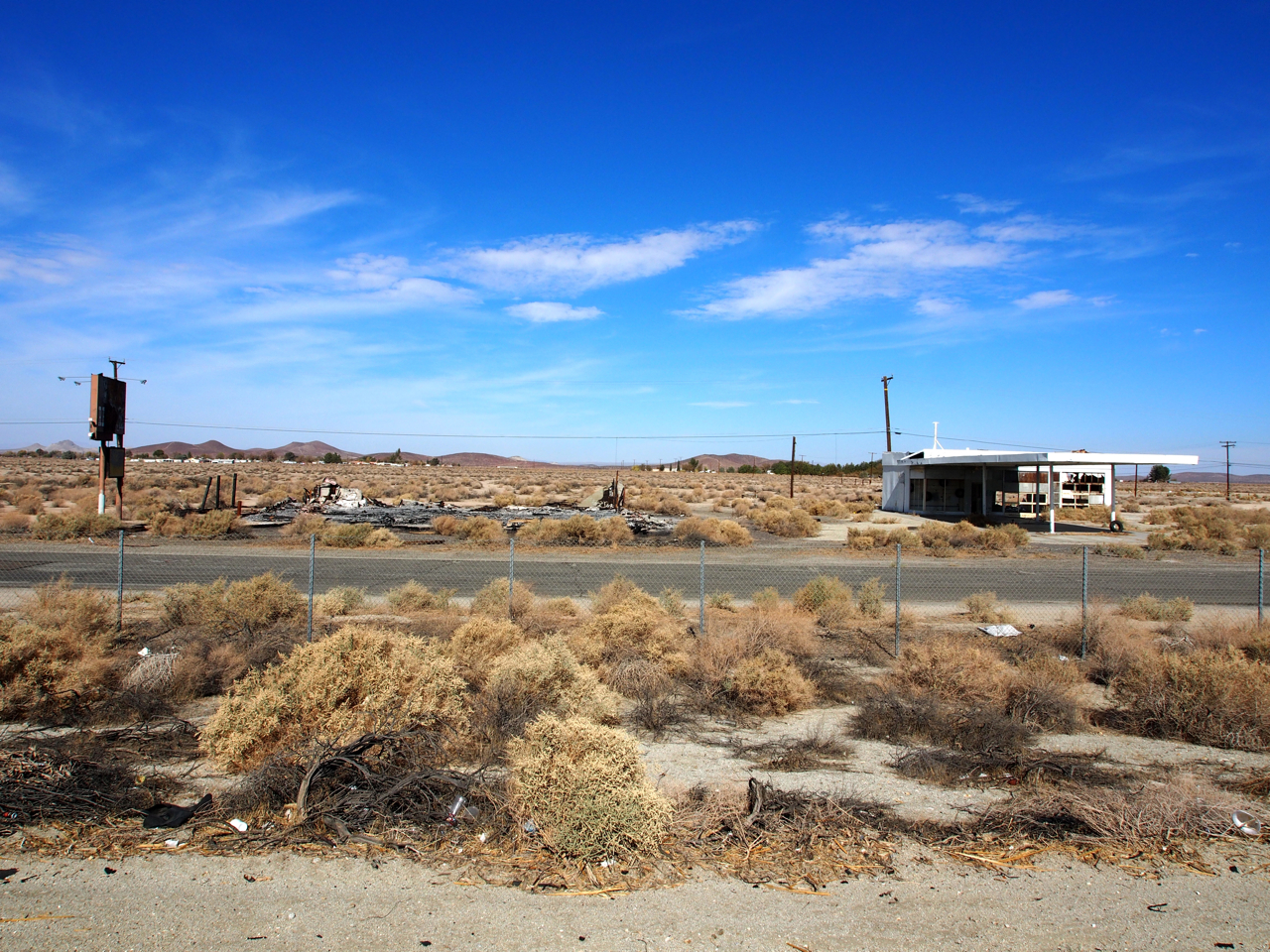
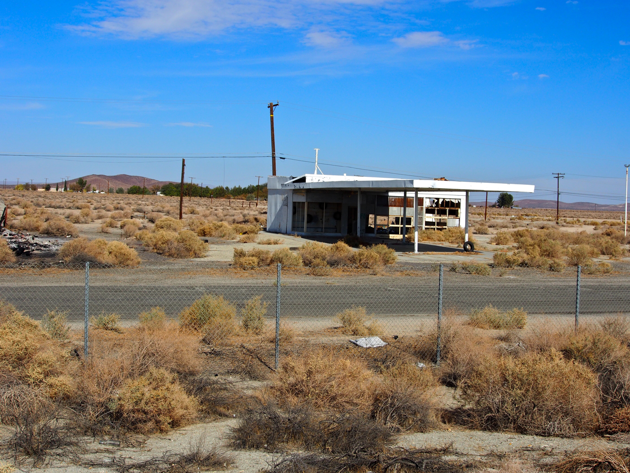
Here’s a vista of an abandoned shop on polluted scrubland. This is a pretty typical scene for the Mojave region.

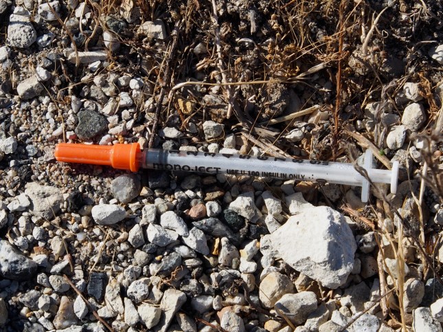
There were a few stretches where we counted literally dozens of syringes along the side of the road in a span of just a few miles.
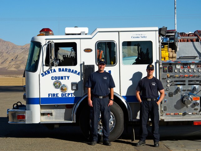
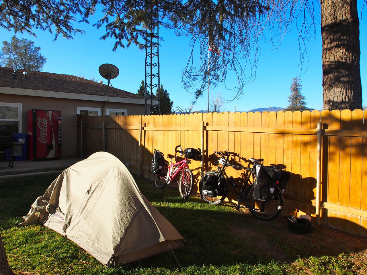
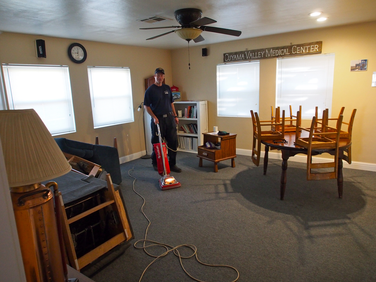
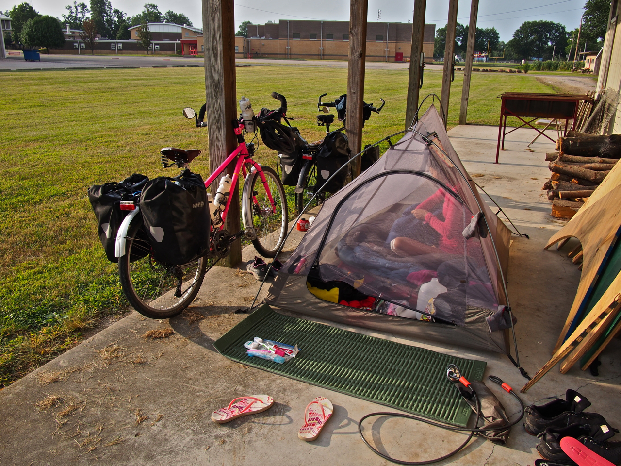
The good news is that firemen are friendly wherever you go. The guys at the New Cuyama firehouse allowed us to camp on their lawn and use their shower. They’re a pretty entertaining bunch, too.

Here’s our campsite on the lawn of the New Cuyama firehouse.
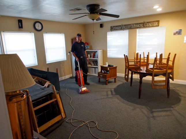
Mike seemed to do most of the cooking and cleaning around the firehouse…
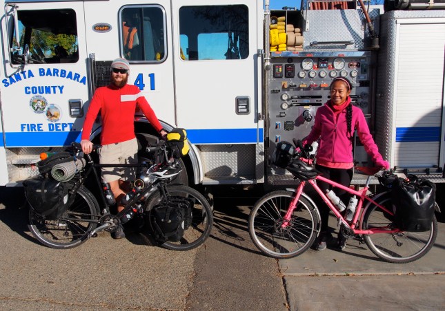
Here we are, ready to roll out of New Cuyama. Just a few more days to the coast…
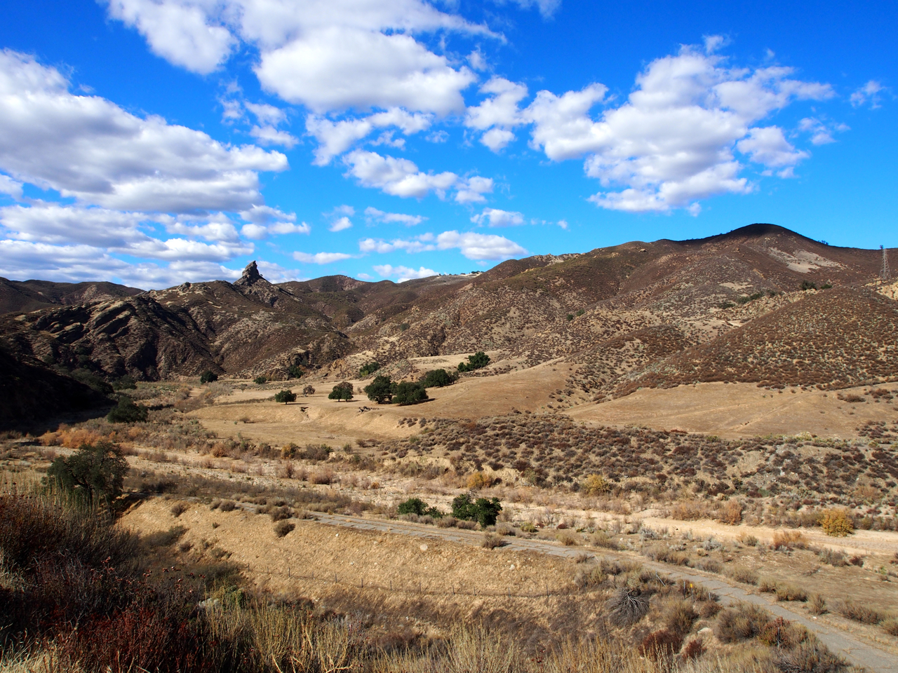
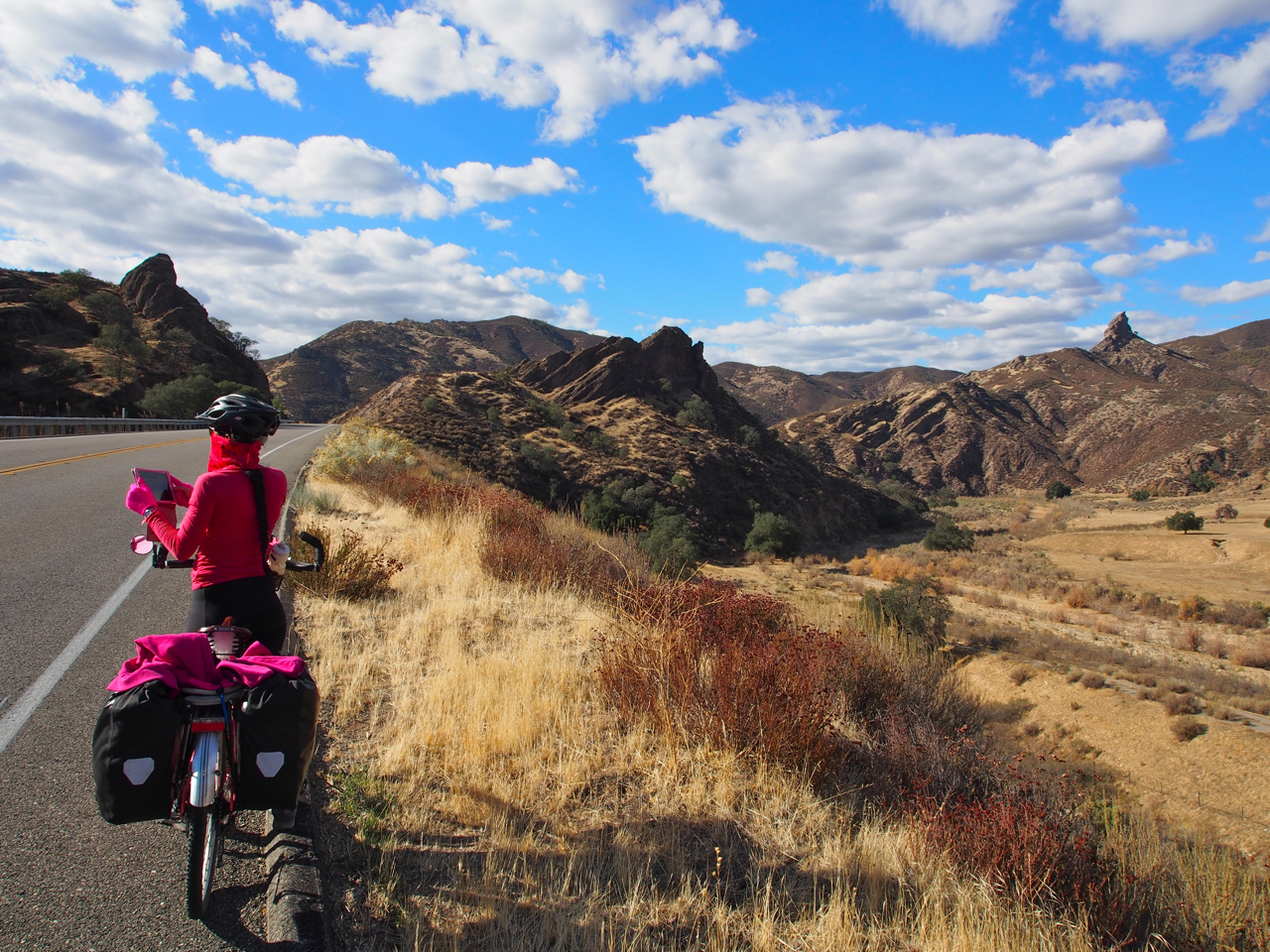
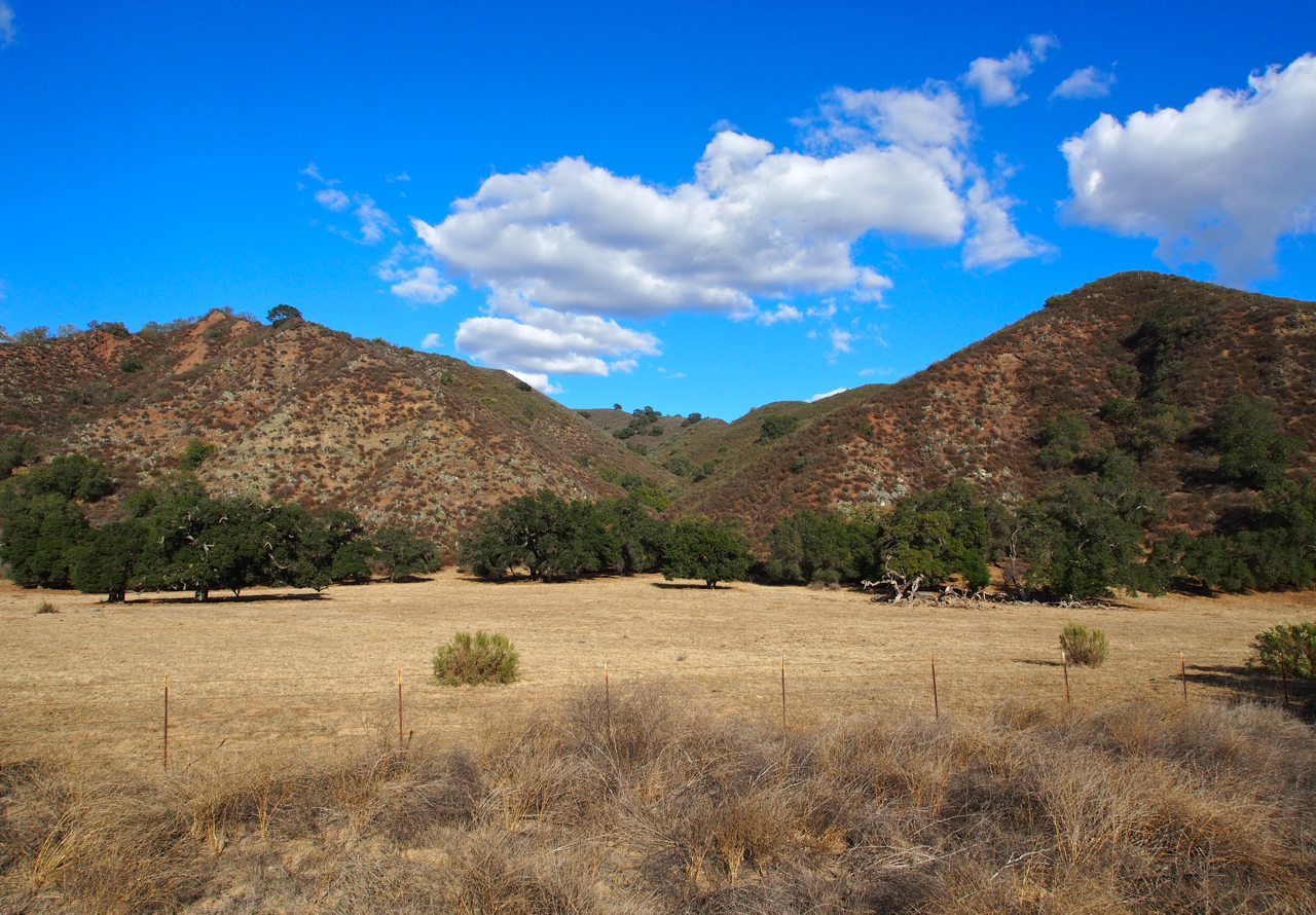
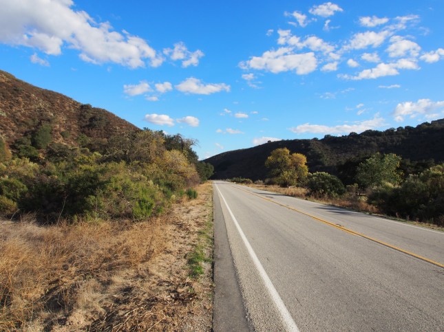
The scenery was more interesting in the hills that flank the coast than in the Mojave desert.


It was along this stretch of road that we met a grizzled old cyclist that had ridden down from the Pacific northwest. He planned to ride to San Diego and then continue on to South America. Before we parted ways he told us, “Don’t stop riding. You don’t have any excuse. I’m 76, and I’m still going.”

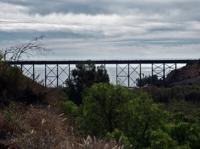
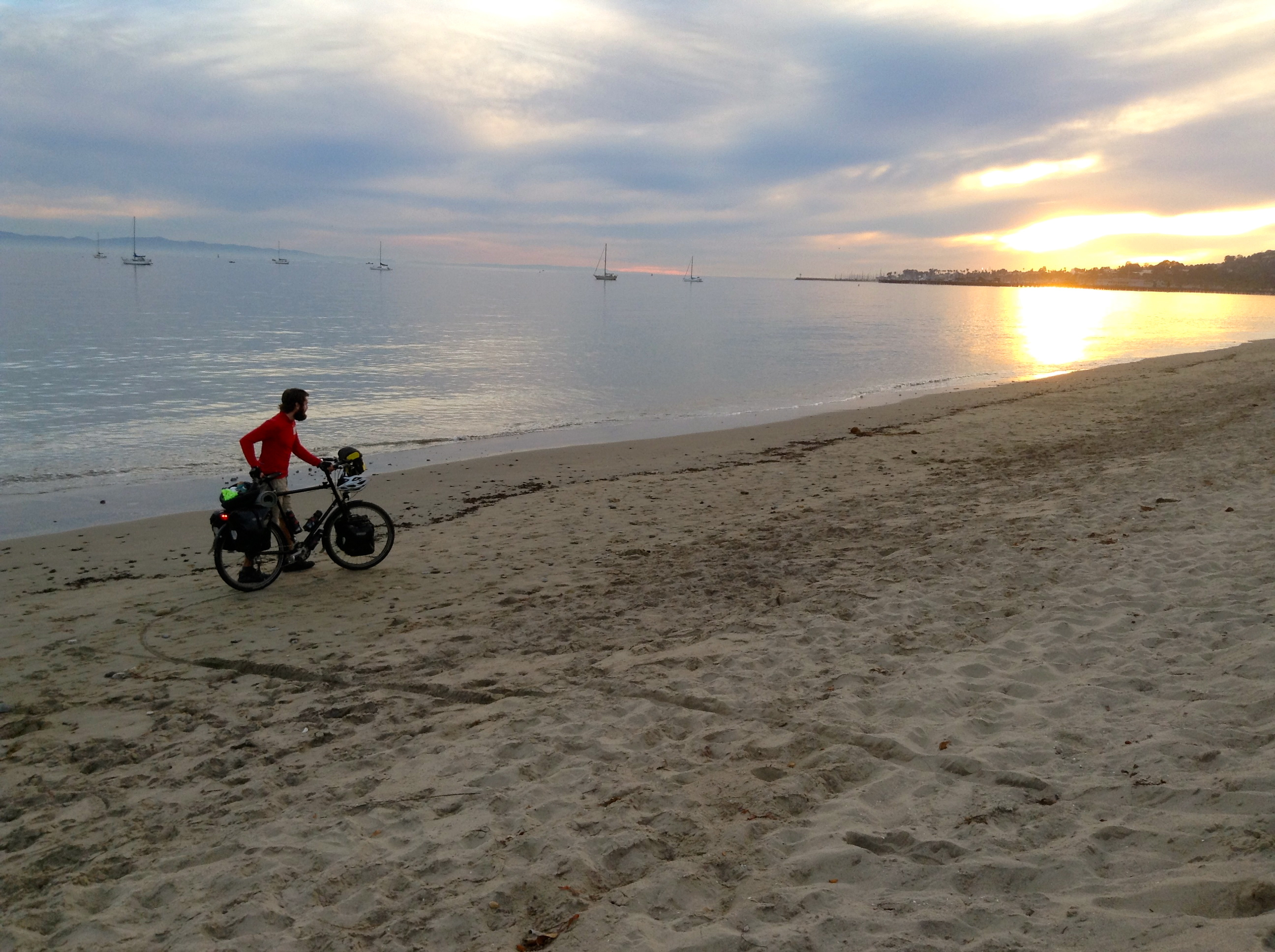
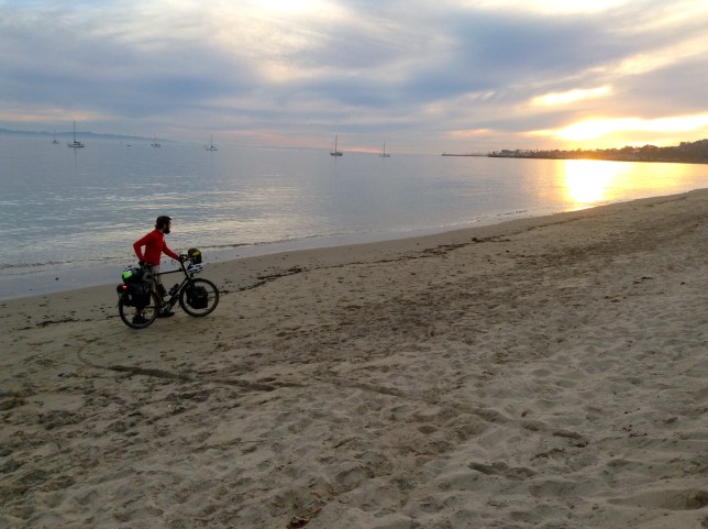
OUR FIRST GLIMPSE OF THE OCEAN! To be honest, it was a bit anticlimactic. I imagined cresting a ridge and having the clouds part to reveal a sweeping view of the Pacific. I never imagined we’d have to peer under a railroad bridge at a hazy sliver of sea.
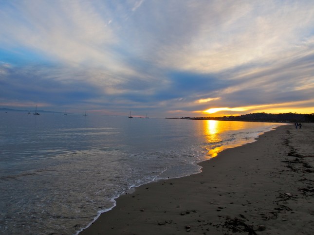
That’s a little better. I believe this is near Santa Barbara.
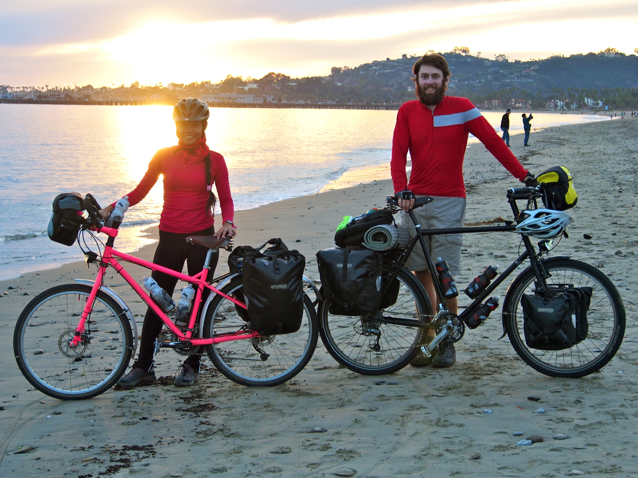
A moment almost 4,000-miles in the making.

The first Filipino to cycle across the United States?

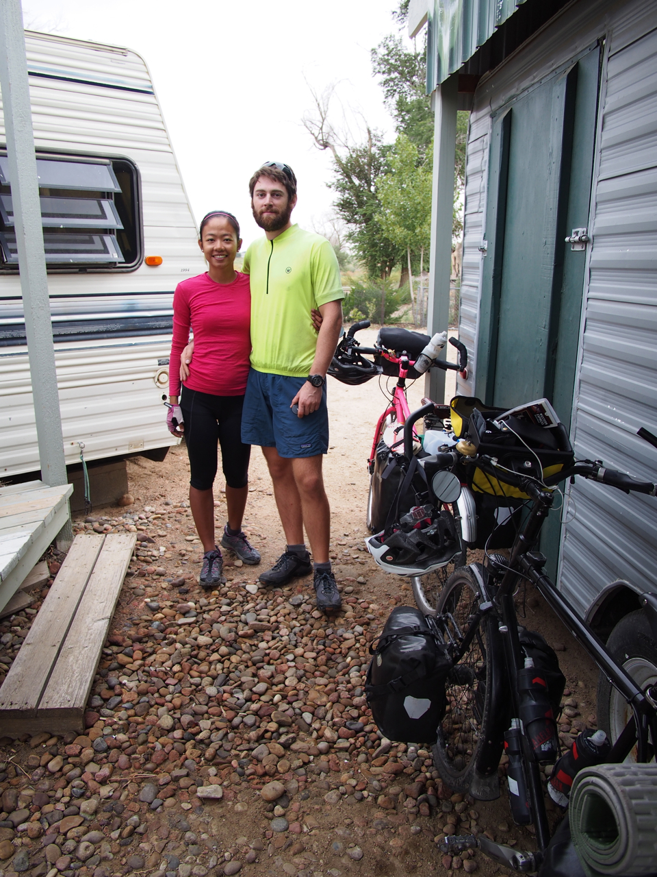
Aaaaaaand we’re STILL married!!!

Look at my beautiful Irish tan! You can’t get that kind of color without spending four straight months in the beating sun.


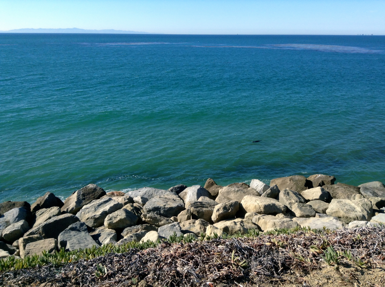
The black object in the water is a sea lion.
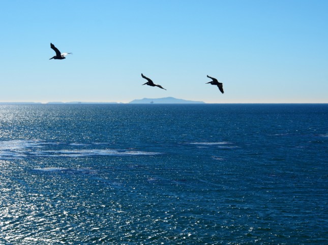
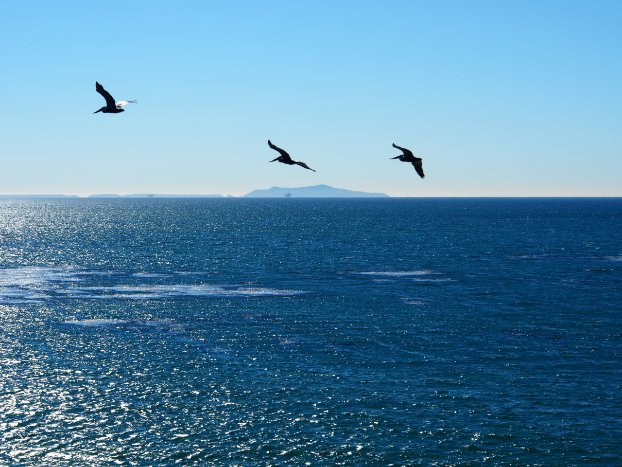
Pelicans.

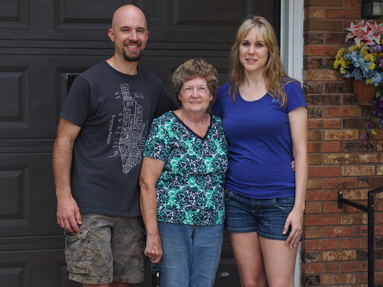
We arrived at Eyna’s aunt, uncle, and cousin’s house on Thanksgiving day. Here we are the day after our arrival…
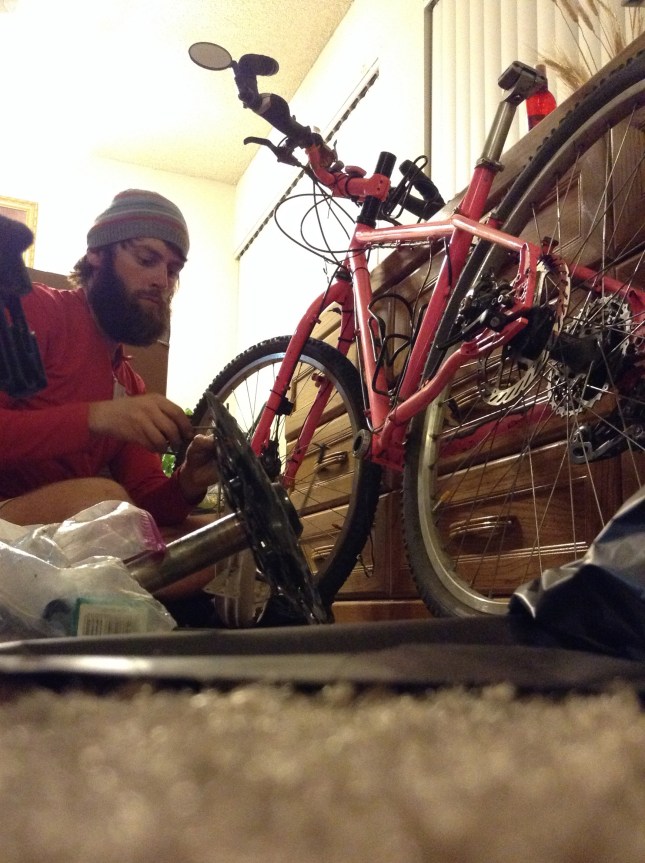
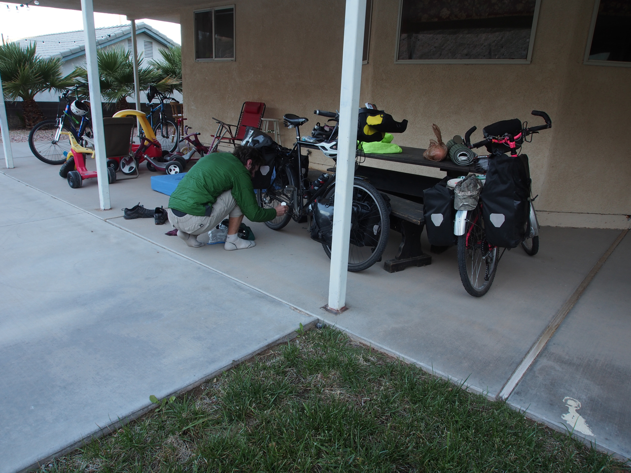
In LA, we clogged Eyna’s family’s apartment with bikes, panniers, camping equipment, and all manner of pads, tablets, laptops, netbooks, smart phones, etc. Then we made an even bigger mess by tearing everything apart and packing it into boxes to ship home. Many thanks to Tito Jun, Tita Myrna, and Migz for letting us occupy their living space for a few days. After everything was packed we sent three large boxes stuffed full of bikes, wheels, camping kit, etc. The cost was outrageous. I spent more shipping our bikes home than I did on our one-way plane tickets back to DC. I would recommend riding a bike with a frame that can be broken down, like the Surly Trucker Delux or the Ritchy Breakaway Cross. The latter comes highly recommended for touring from two very experienced international cycle tourists in Moab, Barb and John.
Statistics:
October 16: St. George, UT to Mesquite, NV, 52.54 miles in 5 hours and 35 minutes
October 17: Mesquite, NV to Moapa, NV, 33.92 miles in 3 hours and 36 minutes
October 18: Moapa, NV to North Las Vegas, NV, 56.95 miles in 6 hours and 3 minutes
October 19: North Las Vegas, NV to Las Vegas, NV, 23.41 miles in 2 hours and 29 minutes
October 20: Las Vegas, NV to Henderson, NV, 19.62 miles in 2 hours and 5 minutes
November 9: Henderson, NV to Pahrump, NV, 62.17 miles in 6 hours and 36 minutes
November 10: Pahrump, NV to Shoshone, CA, 27.23 miles in 2 hours and 54 minutes
November 11: Shoshone, CA to Baker, CA, 56.16 miles in 5 hours and 58 minutes
November 12: Baker, CA to Yermo, CA, 51.44 miles in 5 hours and 28 minutes
November 13: Yermo, CA to Barstow, CA, 15.18 miles in 1 hour and 26 minutes
November 18: Barstow, CA to Boron, CA, 39.47 miles in 4 hours and 12 minutes
November 19: Boron, CA to Tehachapi, CA, 52.37 miles in 5 hours and 34 minutes
November 20: Tehachapi, CA to Bakersfield, CA, 53.62 miles in 5 hours and 42 minutes
November 22: Bakersfield, CA to Maricopa, CA, 43.89 miles in 4 hours and 40 minutes
November 23: Maricopa, CA to New Cuyama, CA, 23.95 miles in 2 hours and 33 minutes
November 24: New Cuyama, CA to Santa Maria, CA, 54.48 miles in 5 hours and 48 minutes
November 25: Santa Maria, CA to Buellton, CA, 33.25 miles in 3 hours and 32 minutes
November 26: Buellton, CA to Carpinteria, CA, 54.81 miles in 5 hours and 49 minutes
November 27: Carpinteria, CA to Malibu, CA, 57.59 miles in 6 hours and 7 minutes
November 28: Malibu, CA to Carson, CA, 41.09 miles in 4 hours and 22 minutes
Total Miles: 853.14 miles
Tags: adventure cycling, arizona, baker, bakersfield, barstow, beard, bike, black bike, boron, buellton, california, camping, carpinteria, carson, chocolate fountain, coast, complete cycling tour, couple, cross country, cross country cycling trip, cycle touring, cycling, cycling across the US, cycling california, cycling couple, cycling east to west, cycling nevada, cycling tour, death valley, descent, desert, dime, diner, downhill, drug addicts, eyna, filipino, filipino cycling, filipino cyclist, firehouse, first filipino, henderson, horny toad lizard, i came to america and all i did was this lousy stencil, i-70, ibex pass, interstate, kanesonbikes, las vegas, lawn, lousy stencil, malibu, maricopa, married, mesquite, moapa, mojave desert, nevada, new cuyama, north las vegas, odometer, old highway 91, pacific coast, pacific ocean, pahrump, patio, paul, paul & eyna, paul and eyna, pelican, philippines, pink bike, rockville, san bernardino county, santa barbara, santa maria, sea lion, ship home, shivwits paiute indian reservation, shoshone, st. george, surly, surly long haul trucker, surly troll, syringe, syringes, tarantula, tehachapi, thanksgiving, tunnel, United States, utah, waitress, water, yermo
When we departed Maryland in July we weren’t sure if we would make it to the Rocky Mountains before snow and freezing temperatures closed the higher mountain passes to cyclists. From the common room of a hostel in Moab, UT, we are pleased to report that we made it through the mountains before the winter weather arrived.
Here’s a look back at our ride across the great state of Colorado…

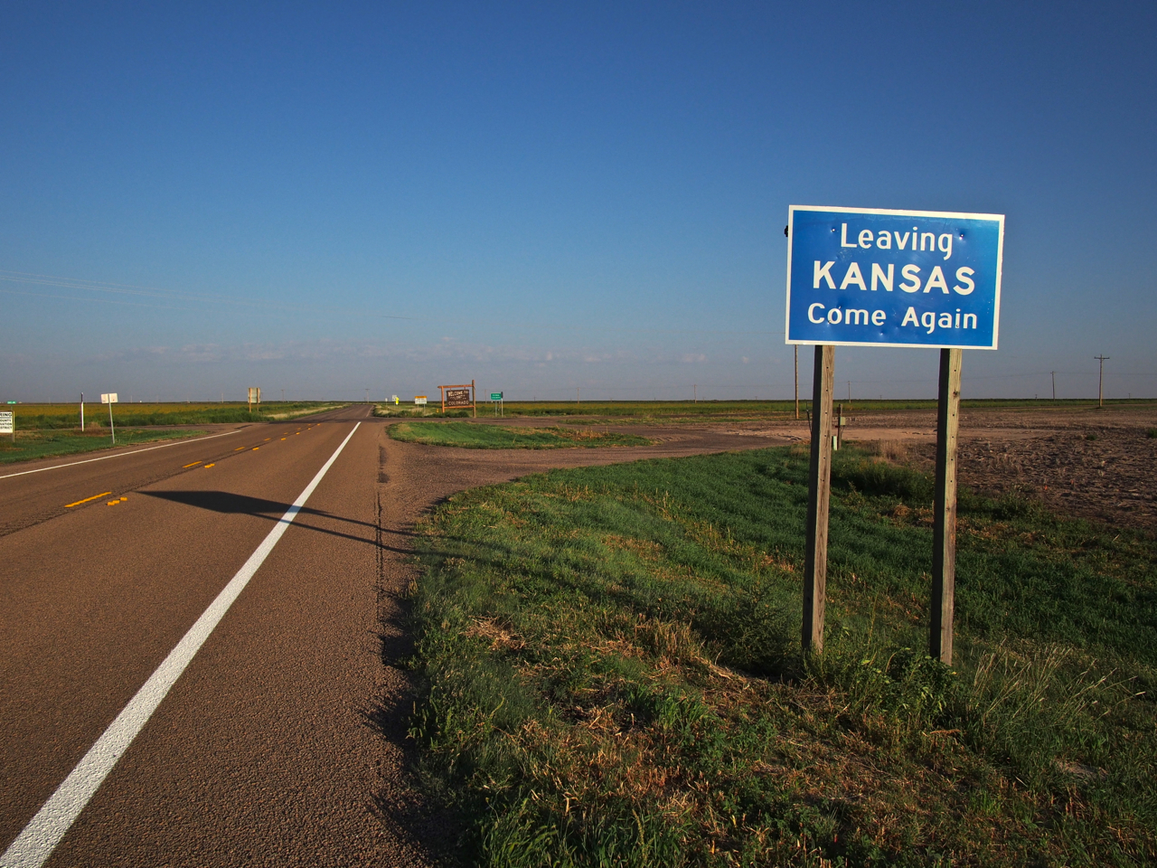
After quite a few bland days in western Kansas, we finally reached the Colorado border.

Unfortunately, the geography of eastern Colorado isn’t the stuff of Mountain Dew commercials. The town of Eads, CO looked like just another sorry sight in western Kansas. Here’s our campsite behind the town’s rest stop.

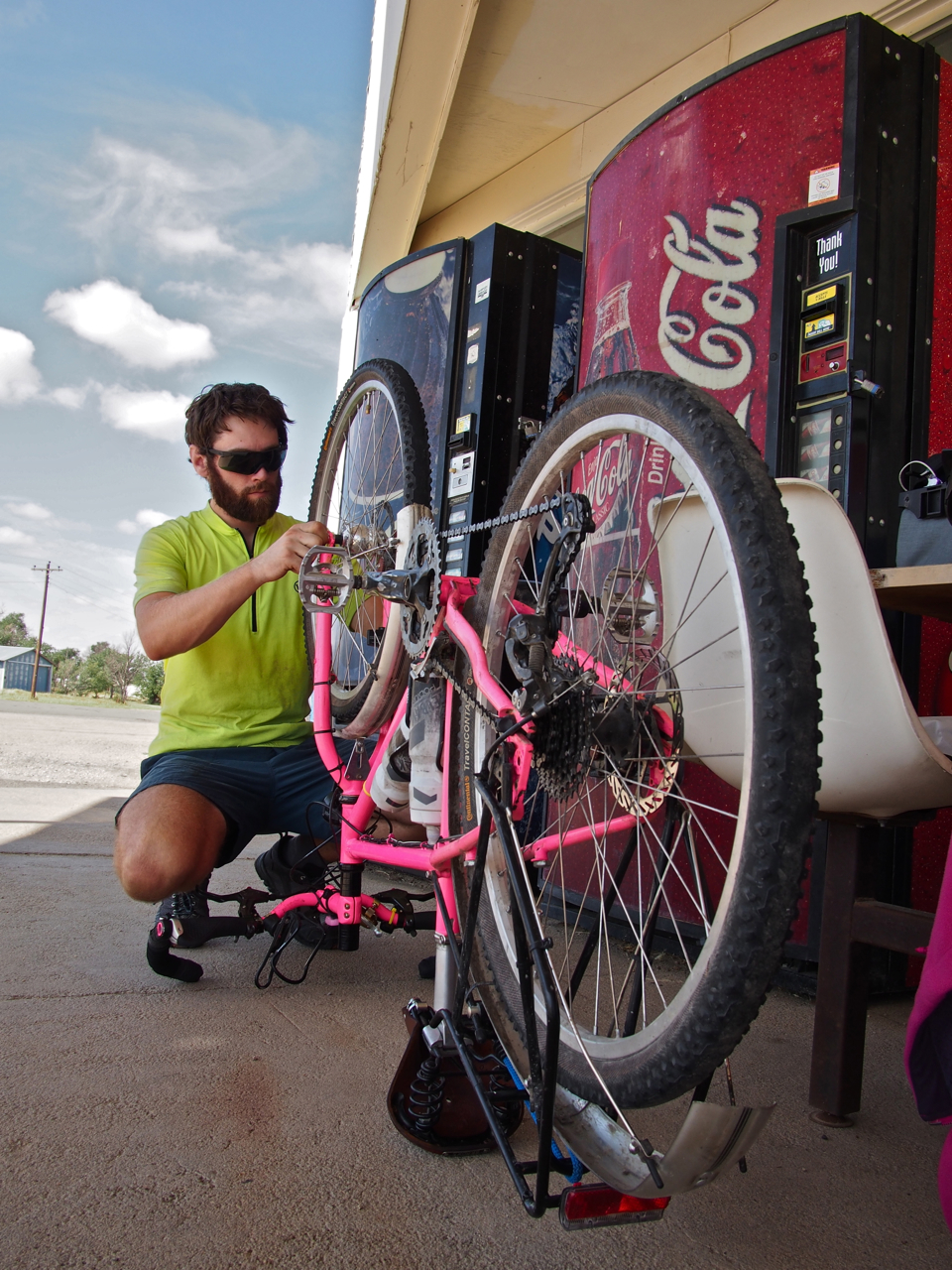
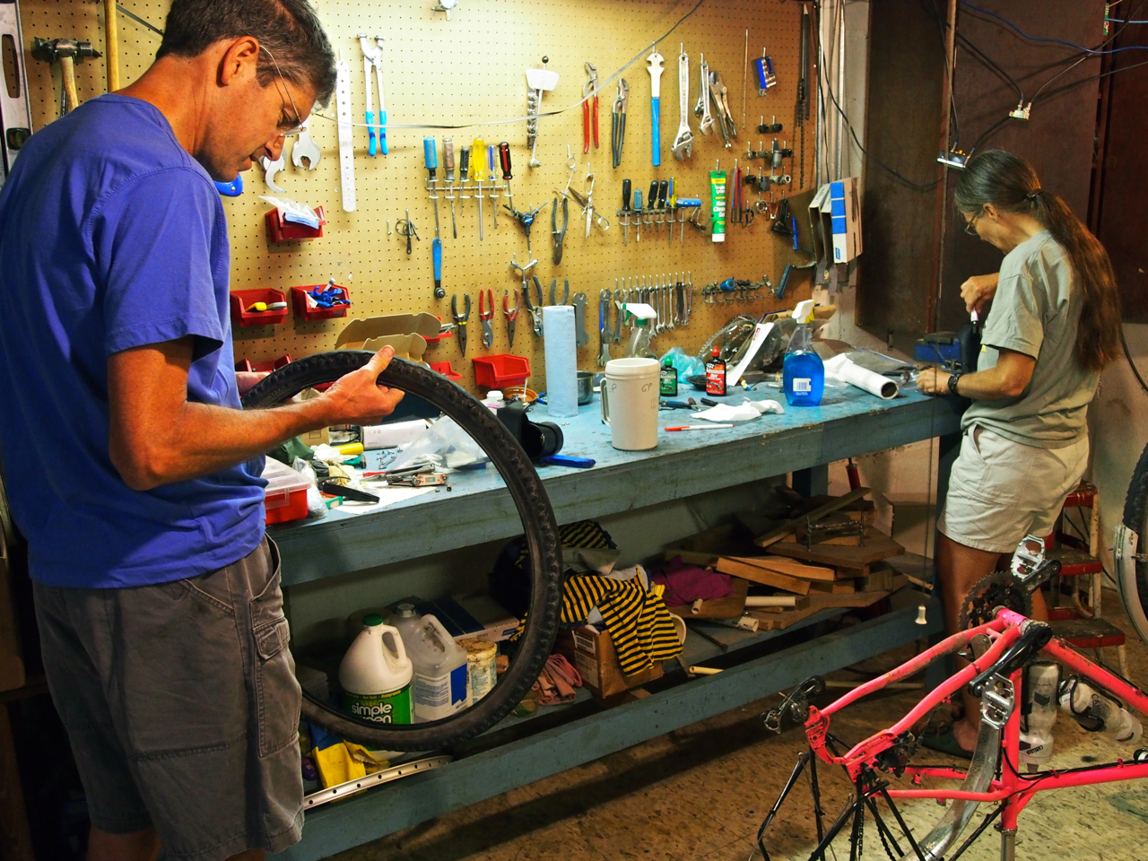
In this photo you can see Eyna’s personal bike mechanic reinstalling her wheel after patching a flat. Overall, we’ve had good luck with punctures: in the first 2,500 miles we have only had to deal with four flats.

Eyna’s mechanic also dialed in her brake pads in anticipation of heavy braking on long descents in the Rockies.

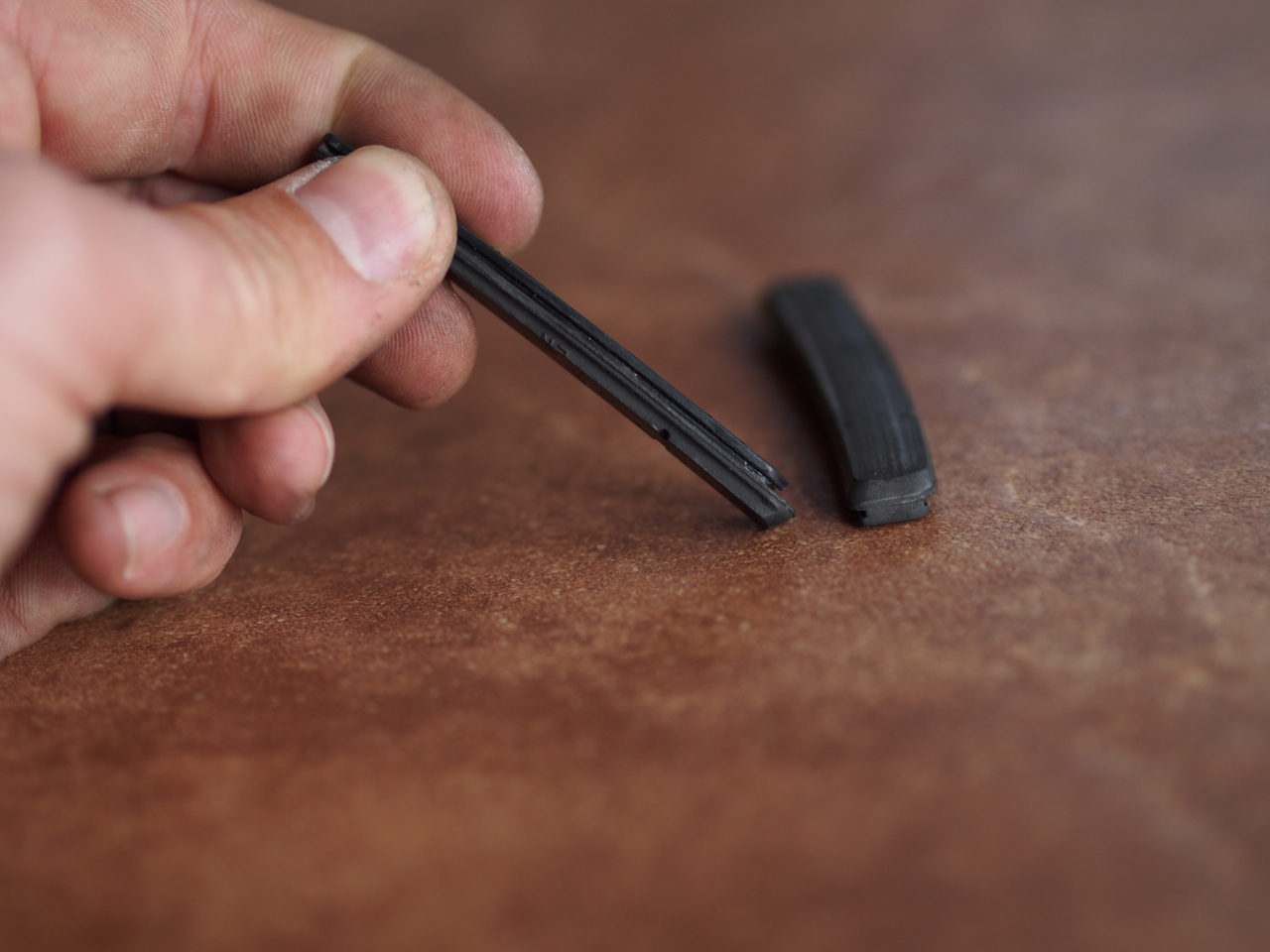
The pads on my rim brakes had worn pretty thin, too. Fortunately, swapping them out only takes about ten minutes and requires no tools.

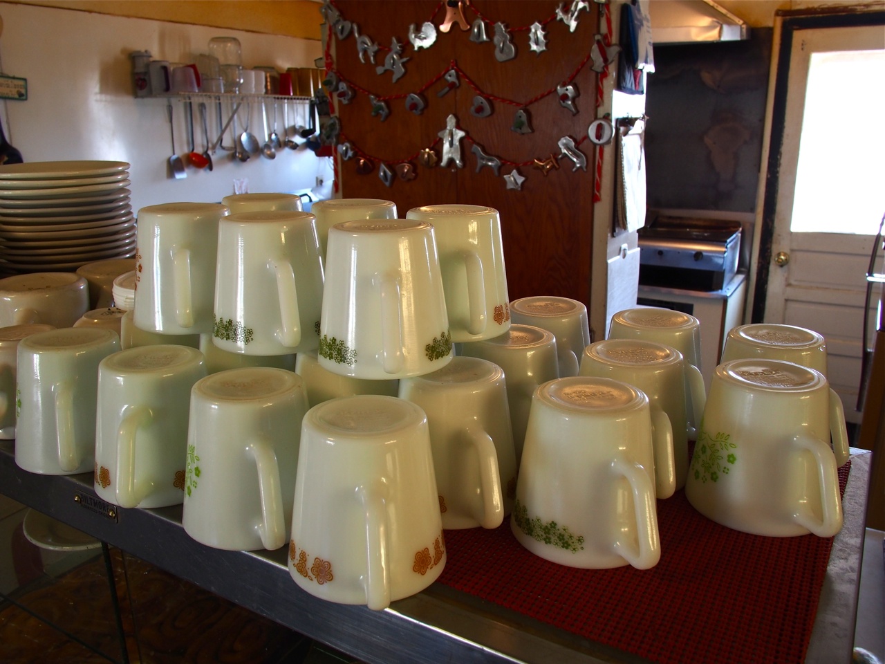
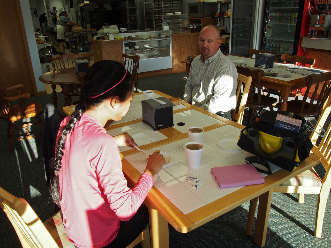
On the way to Ordway, CO, we stopped in a small cafe in Sugar City that had a very authentic, retro feel. Prices were reasonable, too. Eyna’s set lunch of pulled pork was only $5.50, including two sides and coffee.

Everything in the place looked vintage, right down to the coffee mugs.

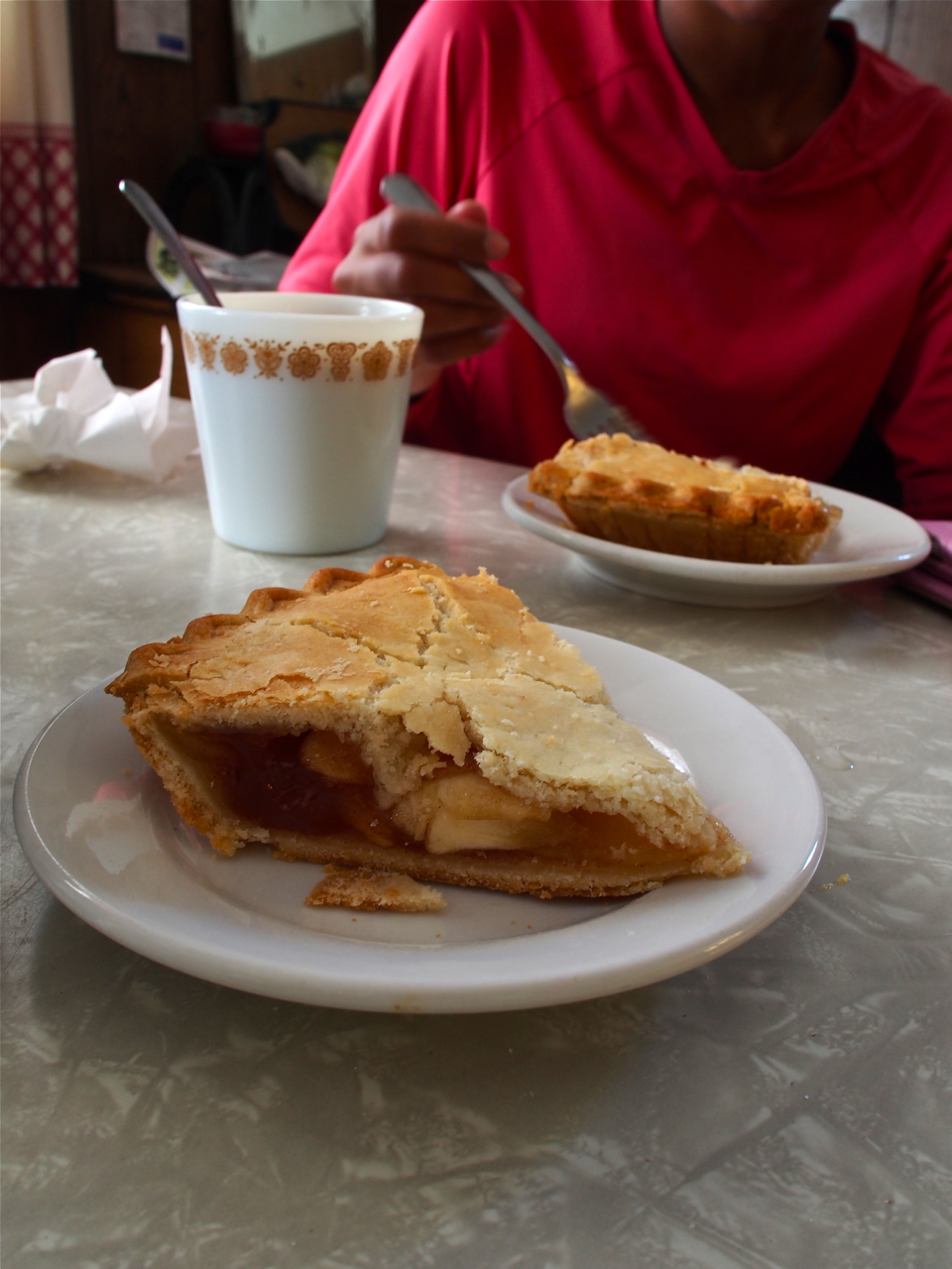
The pie looked delicious, but we discovered the baker used some sort of gelatinous filler layered between the apples. The only disappointing aspect of the Sugar City Cafe…

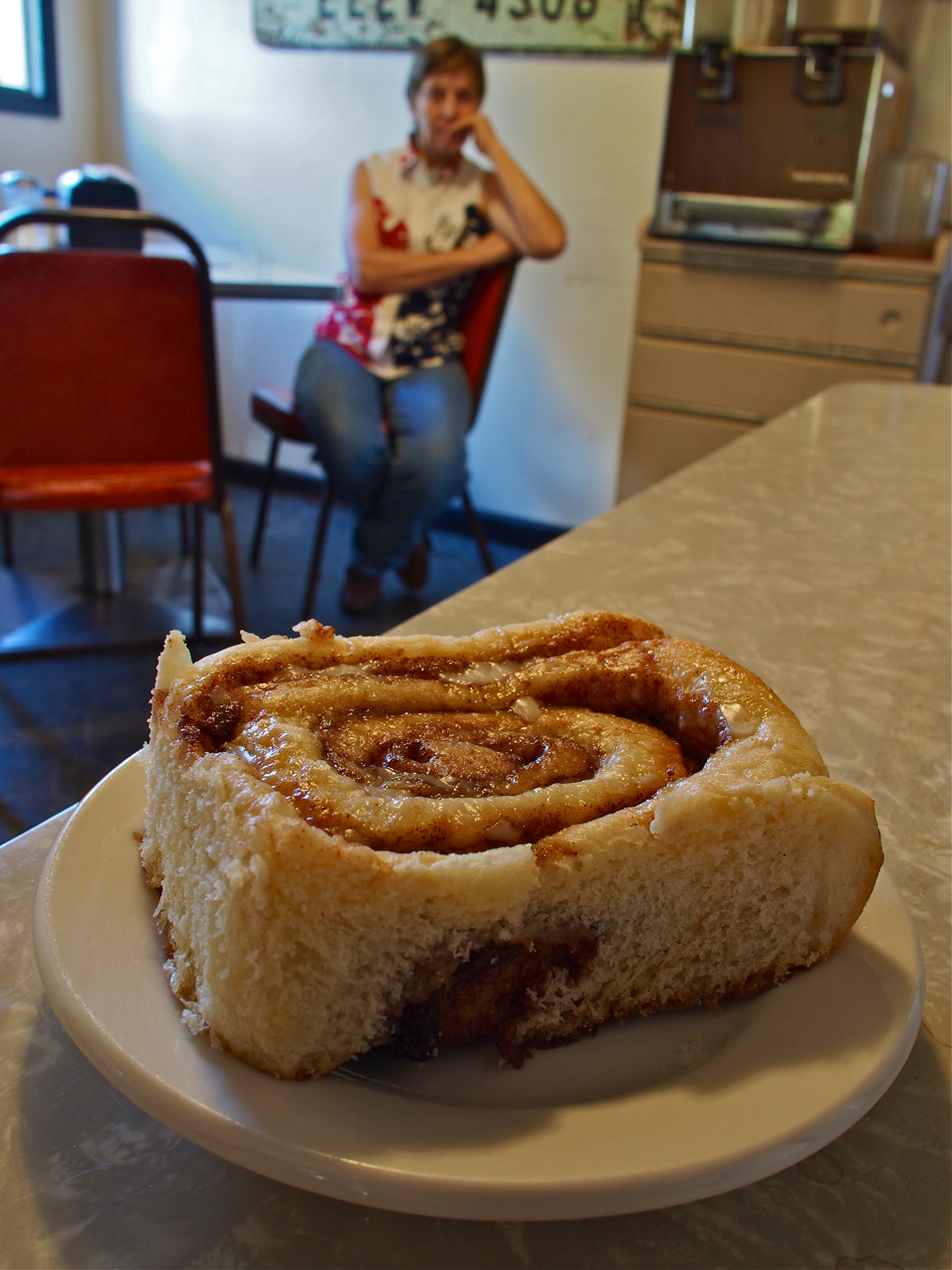
A generously portioned cinnamon bun. That would be the mercurial owner-operator of the Sugar City Cafe perched in the background.

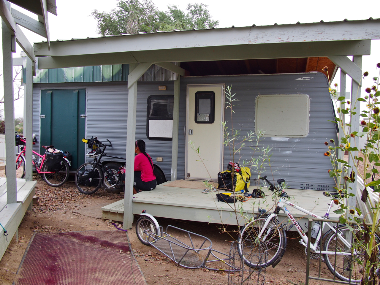
We picked up some intel at the Sugar City Cafe about an accommodation opportunity in the nearby town of Ordway. The rumors turned out to be true, and a few hours later we found ourselves staked out in a modified RV on a farm just outside of town.

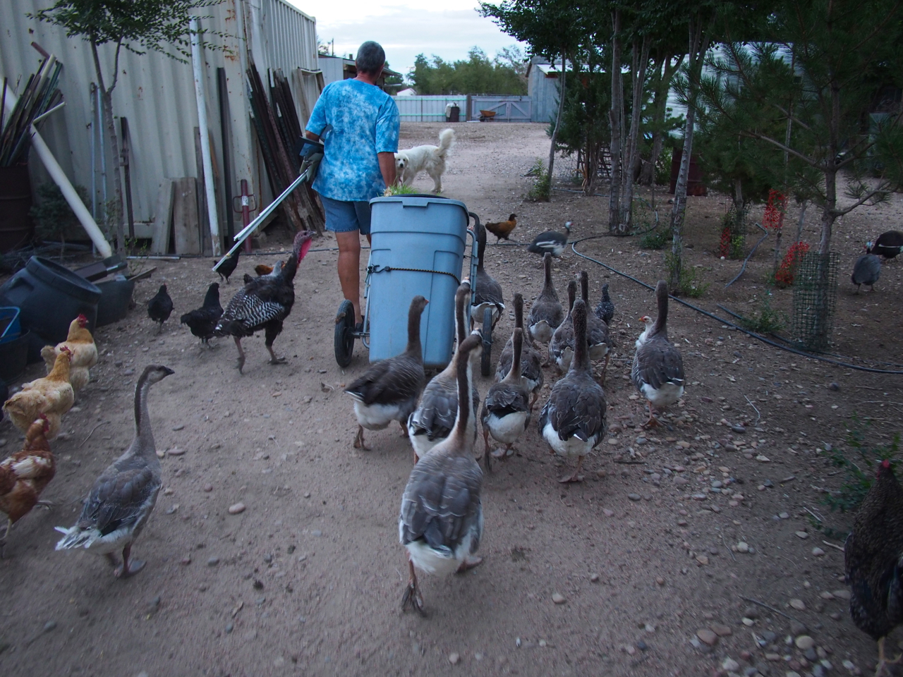
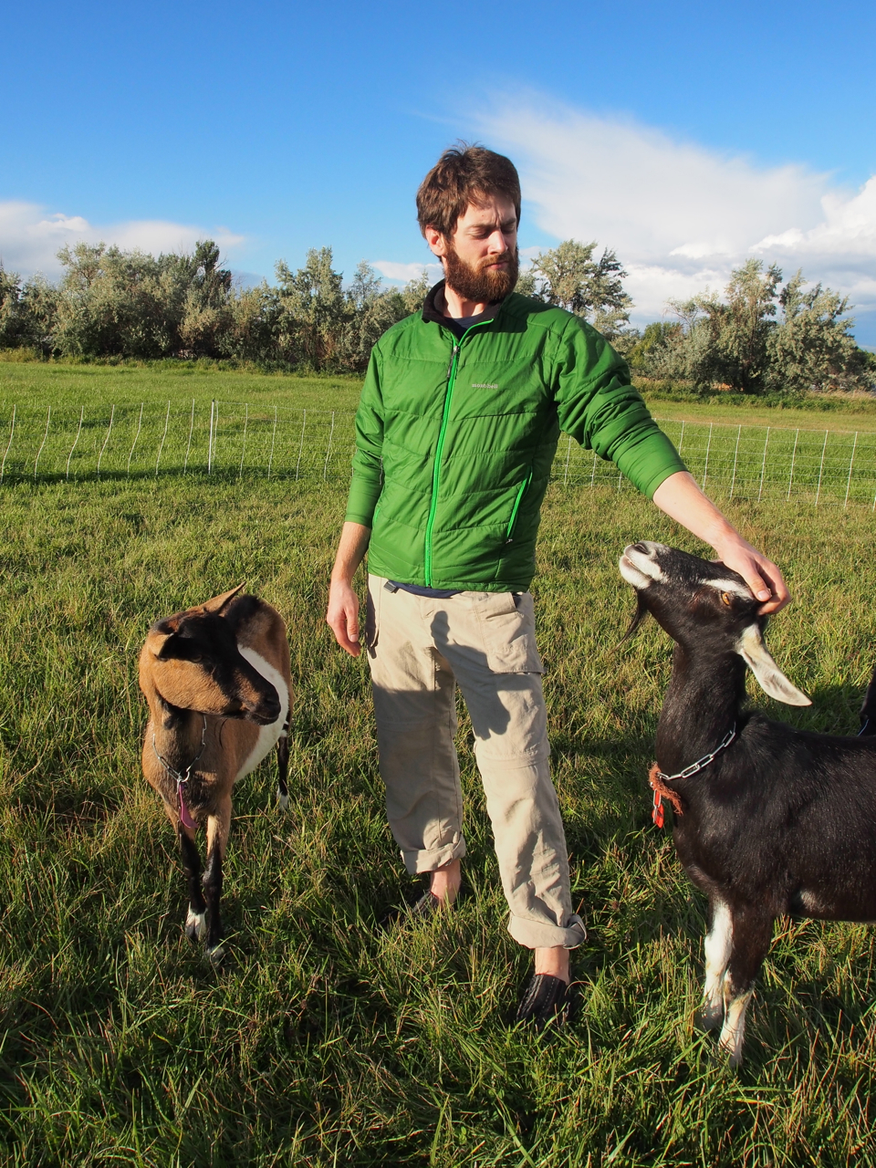
The owner, Gillian, is an expat from New Zealand. She seems to devote most of her time, money, and property to caring for stray critters: turkeys, geese, ducks, chickens, guinea fowl, goats, dogs, horses…and cyclists.

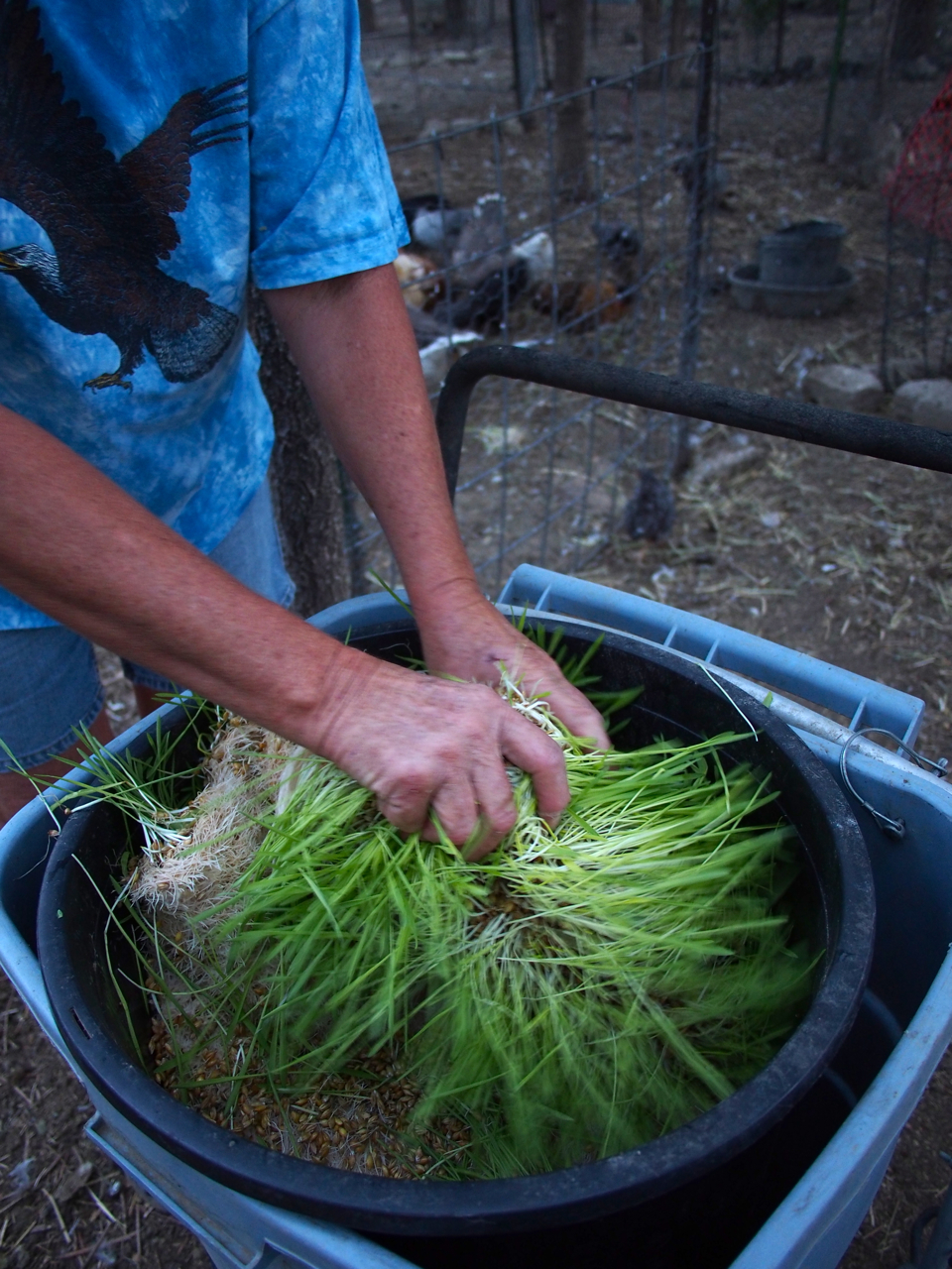
Most of the animals ate barley sprouts. I’m still not sure exactly how they earned their sprouts, though. I don’t think any of them were ever butchered or sold.

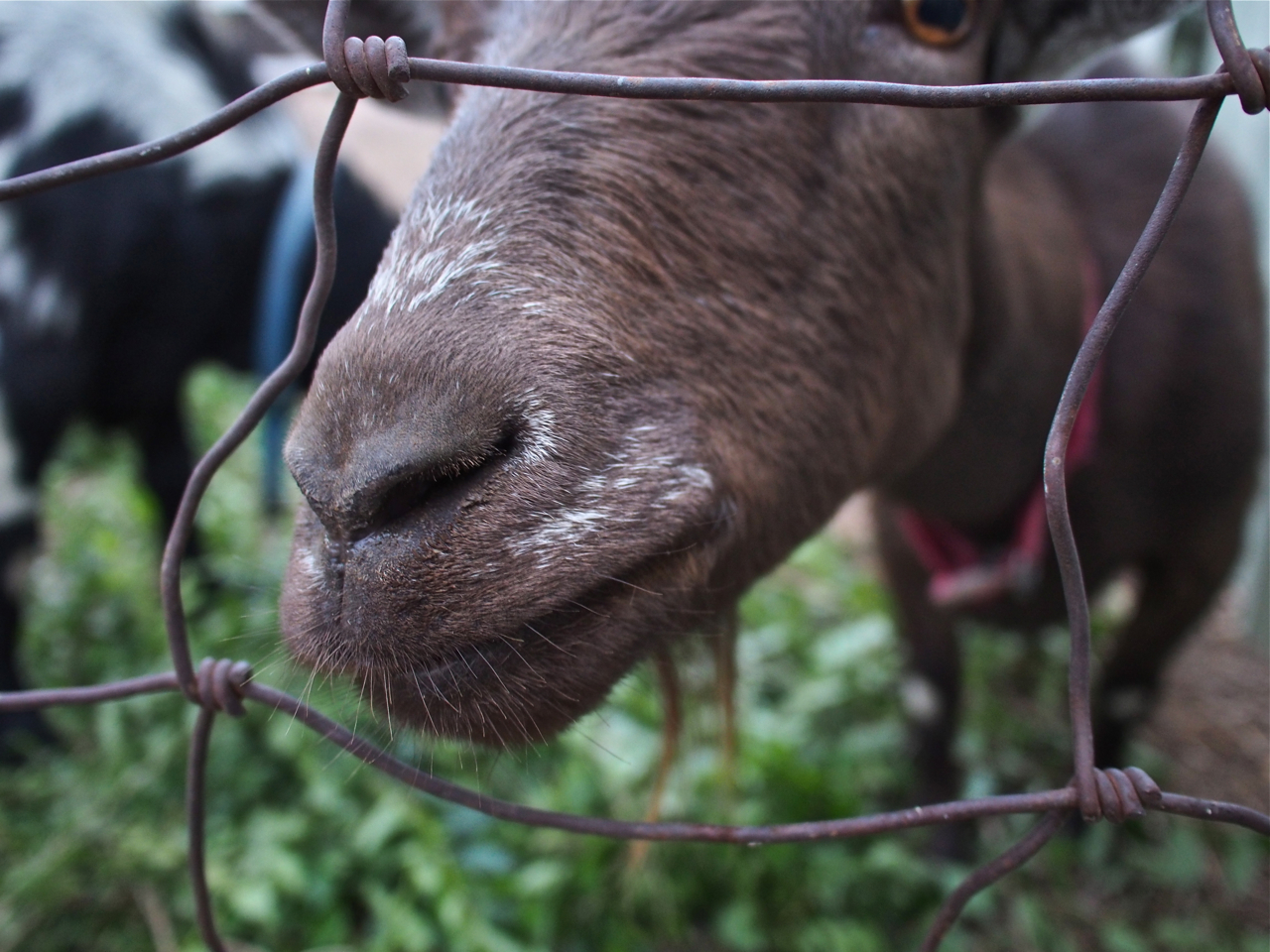
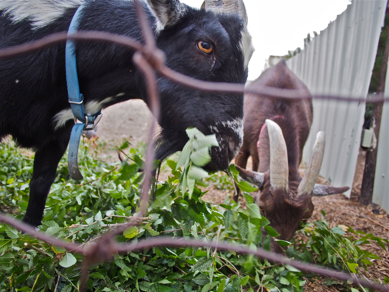
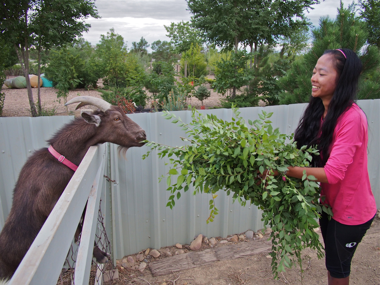
The only animals that didn’t eat barley fodder were the goats. Apparently, they have a taste for clippings from shrubs and bushes that grow around Gillian’s home.

Here they are snacking on some fresh clippings.

Eyna and I helped out by cutting down some overgrown shrubs and then feeding the clippings to the goats.

That afternoon another long distance cyclist arrived at Gillians. Anne Marie was heading east on a 1998 Cannondale mountain bike. We exchanged contact info before we departed, and that’s when we realized that Anne Marie was another Kane on a bike.

Ms. Anne Marie Kane was pulling a B.O.B. trailer (pictured in the foreground), rather than toting bicycle-mounted racks and panniers. The B.O.B., or Beast of Burden, has a lower profile, creates less wind resistance, and reduces wear and tear on the bike, but it is also heavier than racks and panniers, creates more rolling resistance, and adds another wheel that can break, wear out, or go flat.

Just before we turn our handlebars toward Pueblo, CO…

We crossed the 2,000 mile mark on our way out of Ordway.

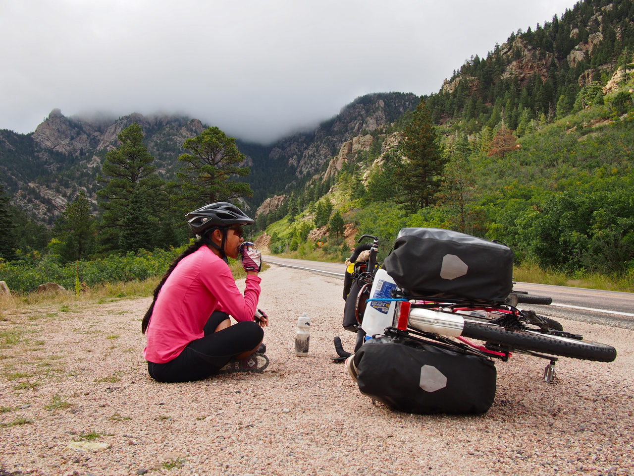
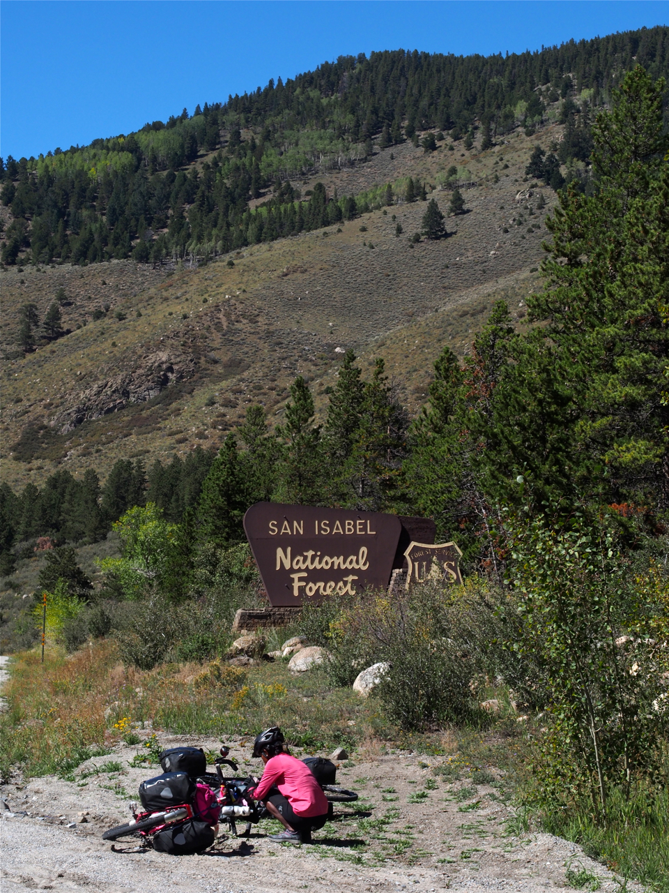
After resting in Pueblo, CO for a few days it was time to head into the mountains. The idea of riding a bicycle laden with gear across high passes was intimidating, but the climb out of Pueblo was fairly gentle at first.

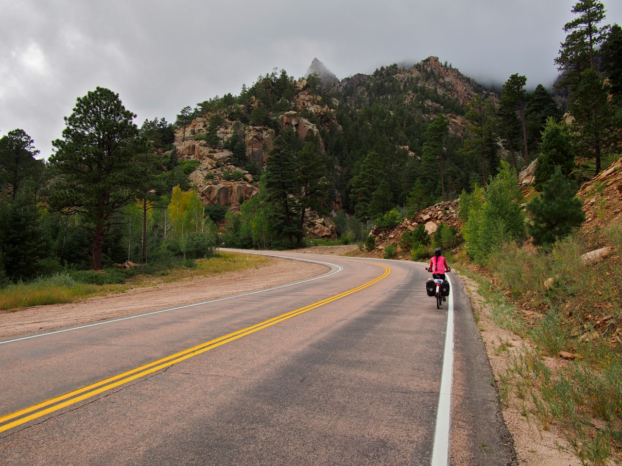
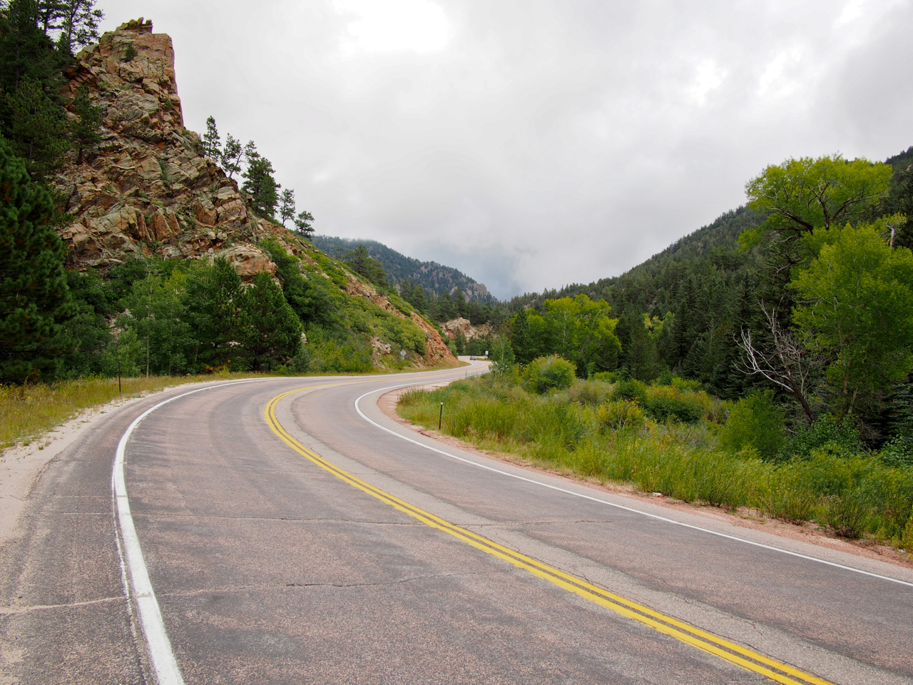
The road wound through the foothills…

…and between grassy meadows…

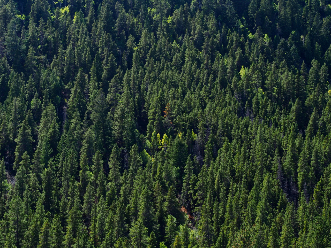
…into coniferous forests…

…past giant, hairy tarantulas…

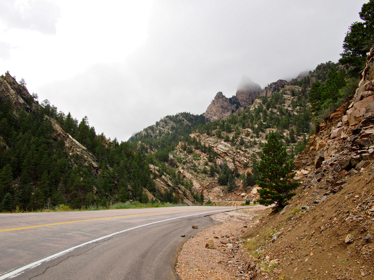
…toward imposing, craggy peaks, shrouded in mist…

…to a place where we decided to rest and eat several Snickers bars.

But time was of the essence, so we pressed on.

The mountains became rockier and steeper.

And steeper…

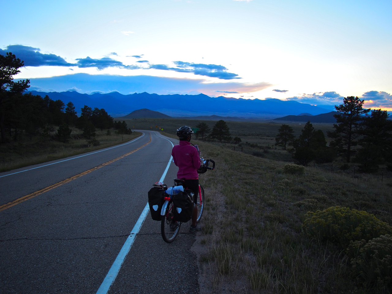
Eventually we made it over the pass and dropped into a broad valley. At the bottom of the valley was the small town of Westcliffe, CO.

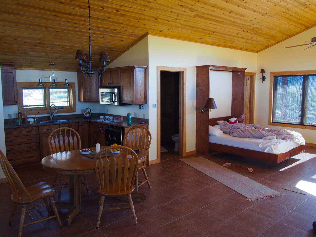
…and outside Westcliffe, nestled at the foot of a rocky outcropping, was the home of our Warm Showers host, Bob.

Bob put us up in a studio apartment that he had built over his garage for relatives visiting from out of town.

The apartment had a heated tile floor, and a jacuzzi in the bathroom.

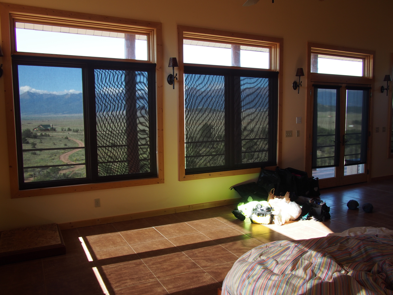
The front of the apartment is lined with huge windows that look out over the Westcliffe valley and the Sangre de Cristo Mountains.

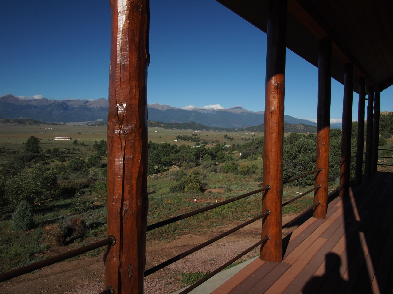
There is also a wrap-around balcony that provides even better views.

View #1 from the balcony

View #2 from the balcony

View #3 from the balcony

Looking down Bob’s driveway.

The Sangre de Cristo Mountains at sunrise

A view from the balcony at sunrise.

One more sunrise view from the balcony…

The ride away from Bob’s home put us on dirt roads for about five miles.

We struggled against a stiff headwind on this stretch.


Rejoining the paved route on the way to Cotopaxi.


Scene outside Cotopaxi, CO

The ride into Cotopaxi from Westcliffe involved a 23 mile descent through beautiful mountain scenery.

Leaving Cotopaxi for Salida, CO was another story, though. For 25 miles we struggled against a strong headwind that poured through a narrow gorge, on a long–albeit gentle–climb. As if that weren’t demoralizing enough, for the last hour we also had to deal with a sustained, icy cold rain.

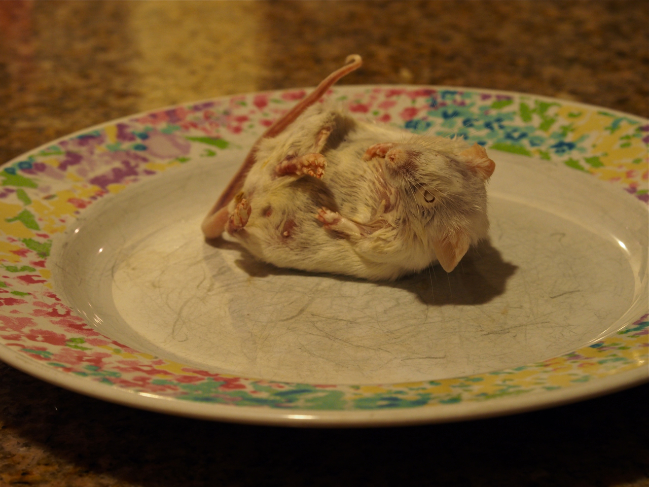
After being tested by the elements, we were glad that we had a warm place to land in Salida. A Warm Showers host, Karen, took us in for the evening. Here is her son’s albino corn snake.

Karen keeps a gallon-size bag of dead mice in her freezer to feed to the corn snake. Once or twice a week she thaws a mouse on a plate overnight and then drops it into the tank in the morning. (Eyna and I have been hoping she has a designated mouse-thawing plate.)

The snake makes quick work of his previously frozen meal. Here’s the mouse sliding down the hatch, with the tail still protruding from the snake’s mouth.

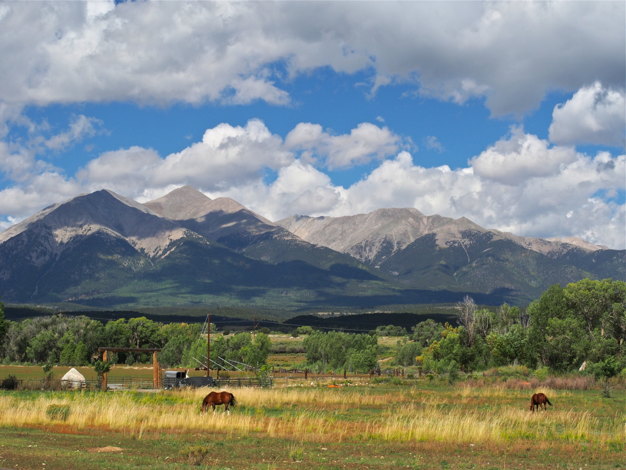
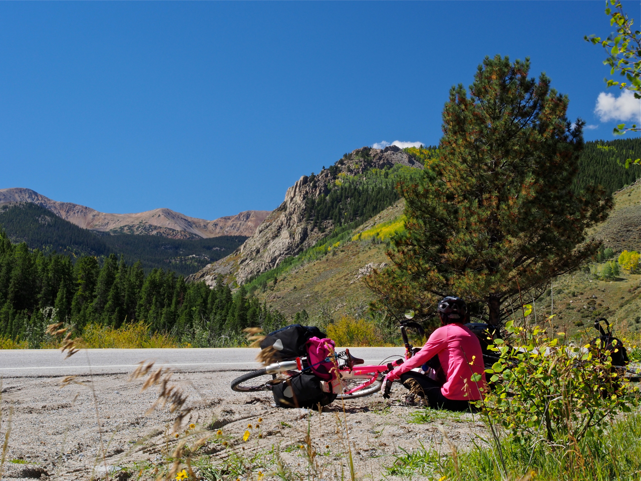
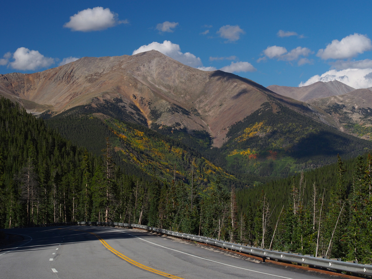
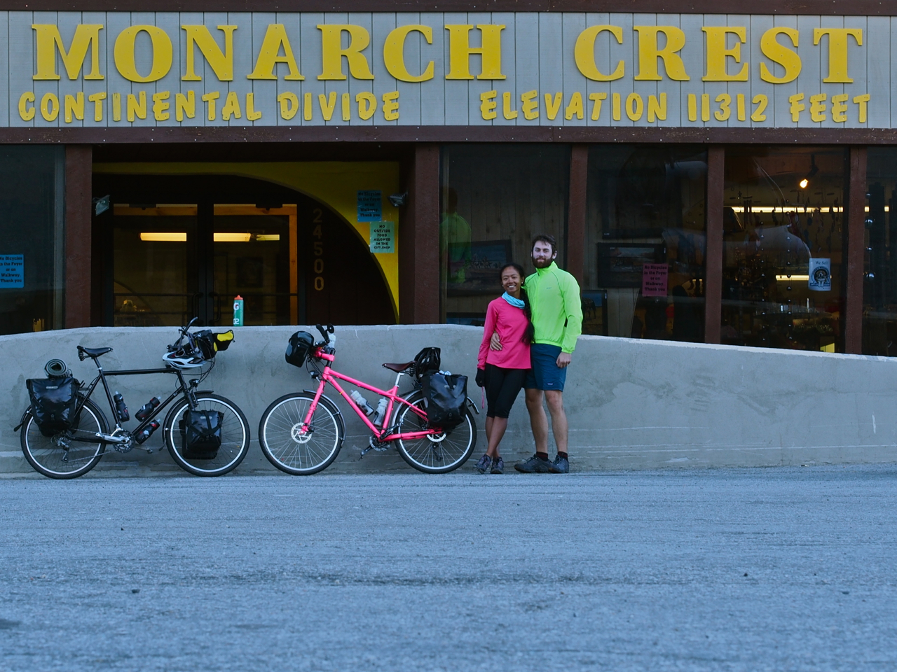
Salida was the last stop before the climb over 11,312 foot Monarch Pass. Eyna and I tried to prepare ourselves mentally and emotionally for the challenge that lay ahead as we slowly rolled toward the mountains lurking on the horizon.

We tried to take it slow, to avoid burning out before we reached the top of the pass.

The lower reaches of the slopes were coated with conifers.

Higher up, the tree cover began to thin out.

Eyna eating another Snickers bar while eyeing the terrain ahead. It turns out Snickers are more satisfying and energizing than any of the traditional “energy bars” (e.g. Power Bars, Clif Bars…).

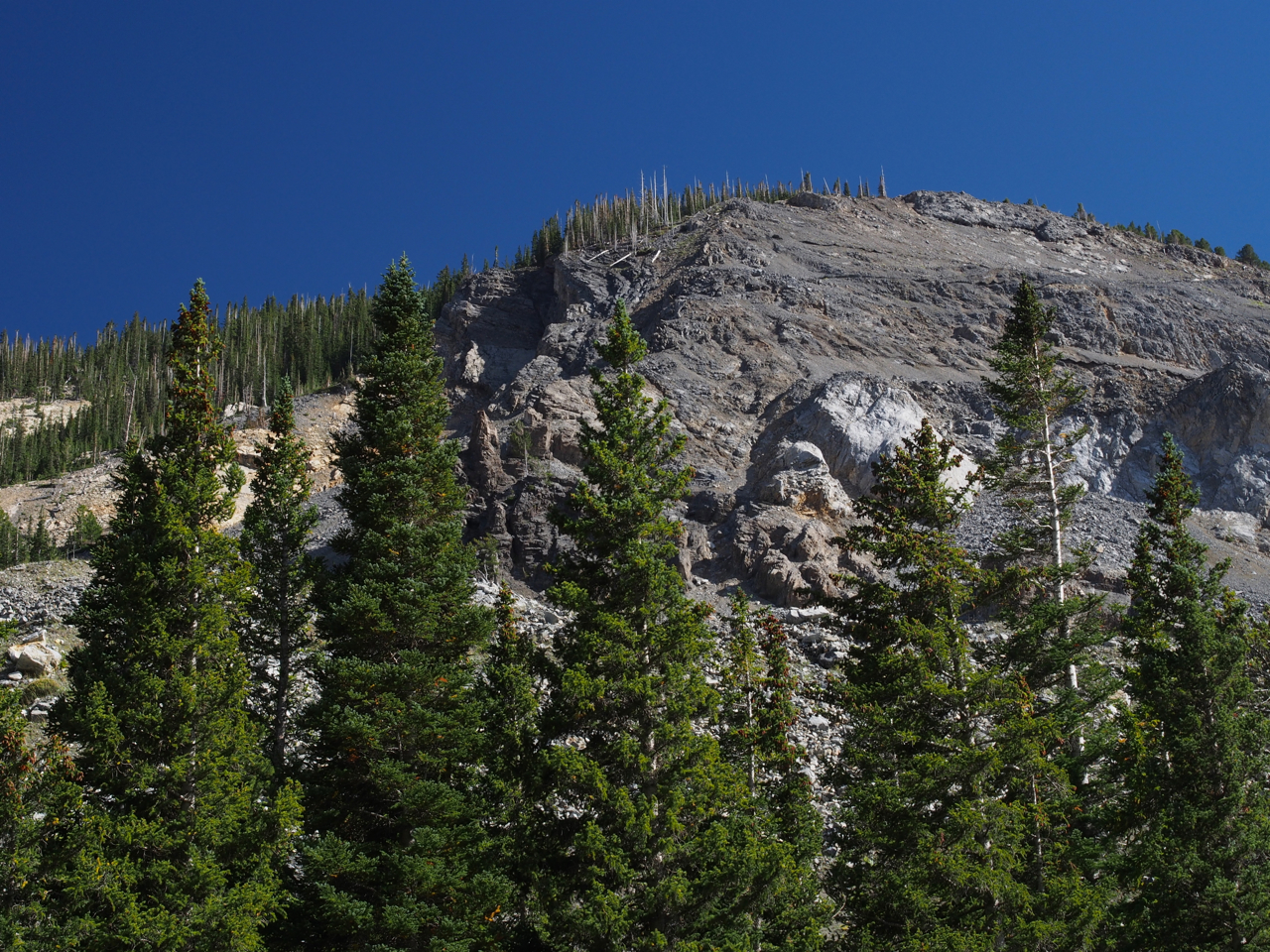
Getting sheer and rocky toward the top.

We were delayed a bit toward the top of the pass while a construction crew built the set for the latest Fast and Furious movie. (Not pictured here)

The compensation for an exhausting, emotional 23-mile climb across the Continental Divide: great scenery

Looking back as we approach the top.

Success!

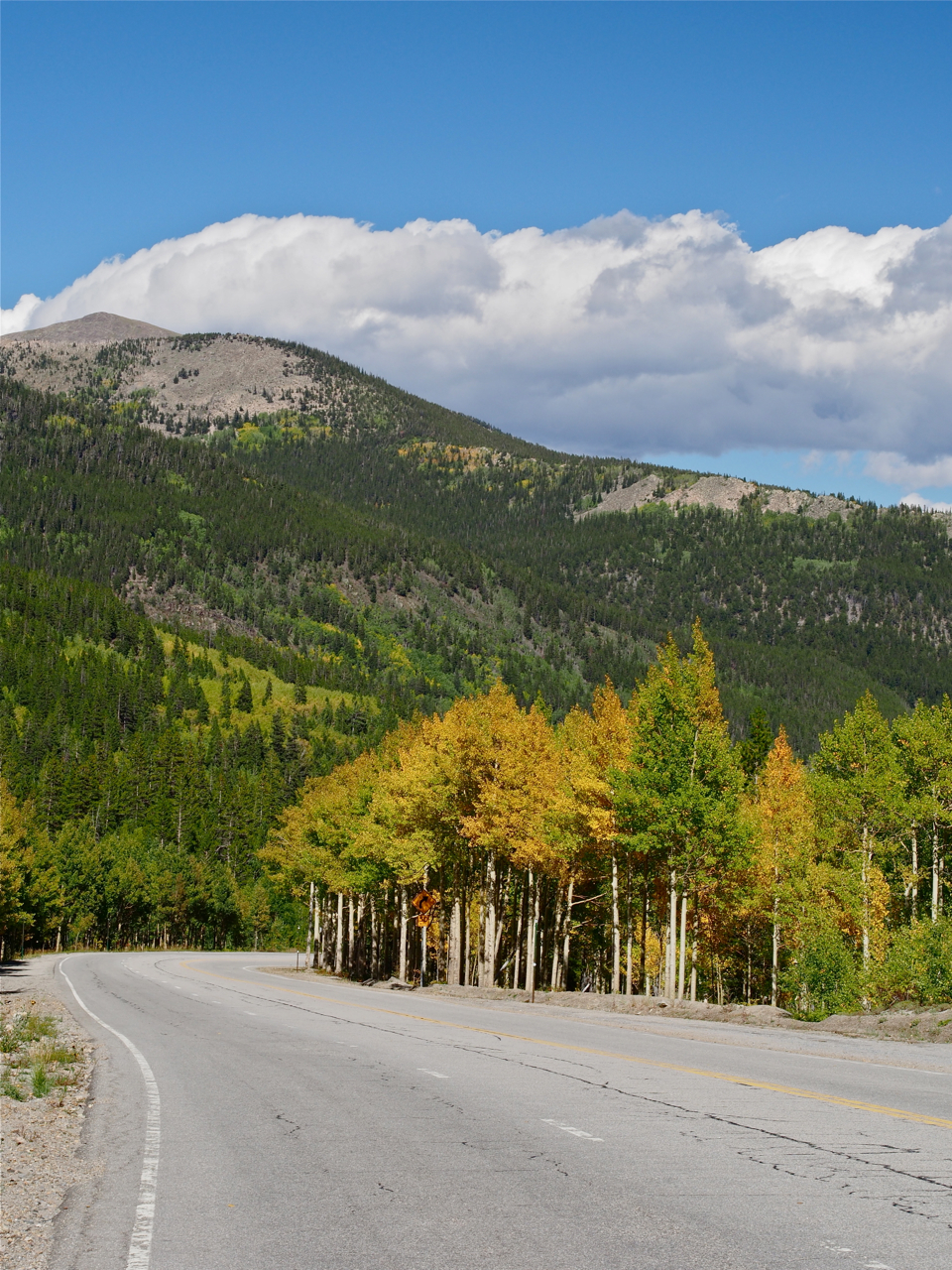
The road down to our campsite at Sargents, CO was lined with golden-yellow Aspen trees.

Taking a break on the rim/rotor melting descent from Monarch Pass.

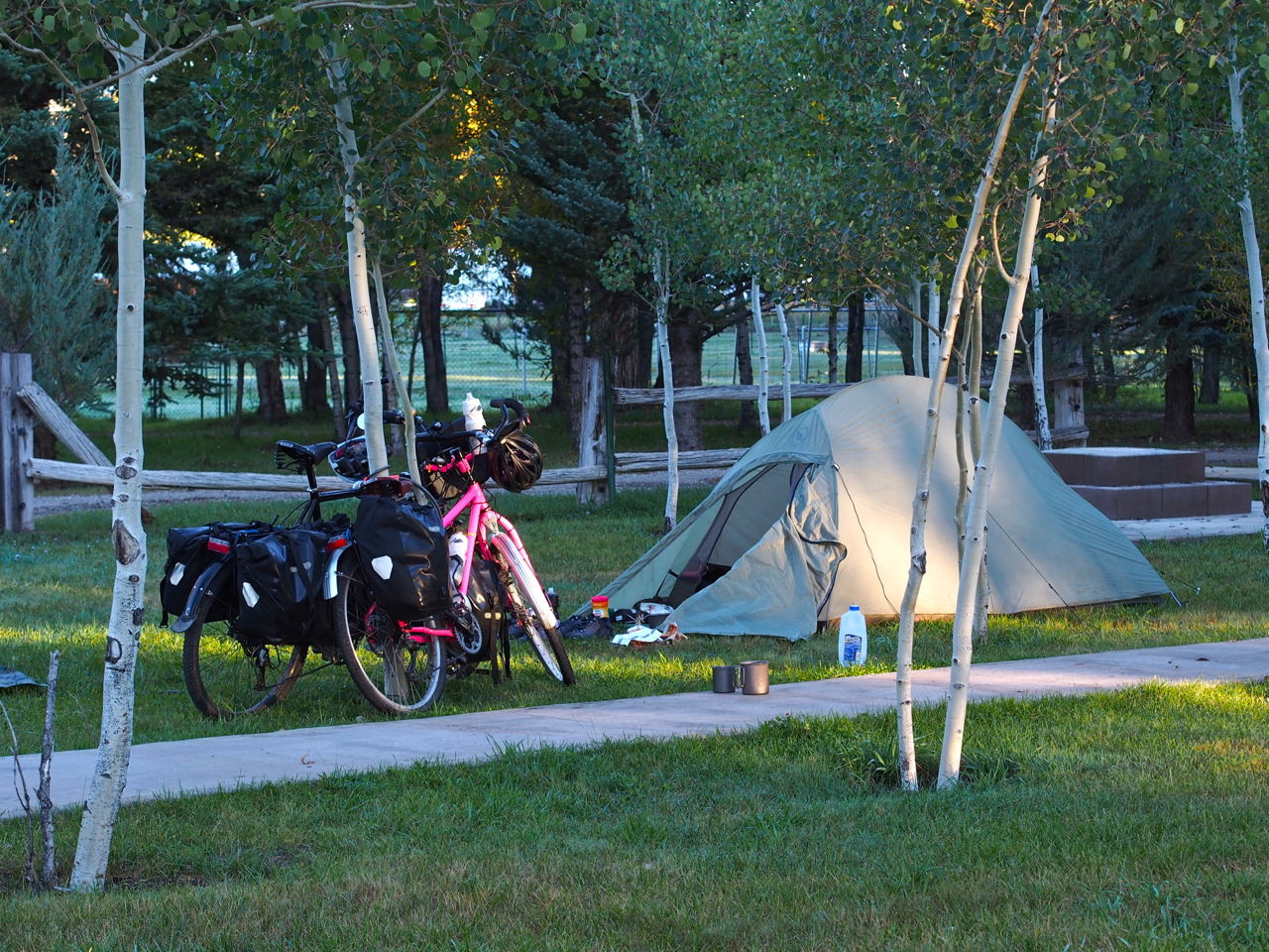
Our campsite at Sargents, CO was well above 8,000 feet. In the morning our tent was encrusted with ice.

As was my saddle…

And our panniers.

The ride from our campsite at Sargents to Gunnison, CO was a gentile, rolling descent past horse farms and ranches.

Ranch Land

We found a place to camp in front of a large, abandoned house in Gunnison, CO.

Our campsite in Gunnison, CO

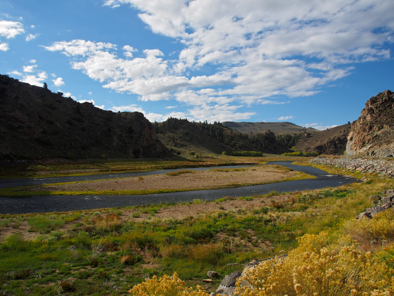
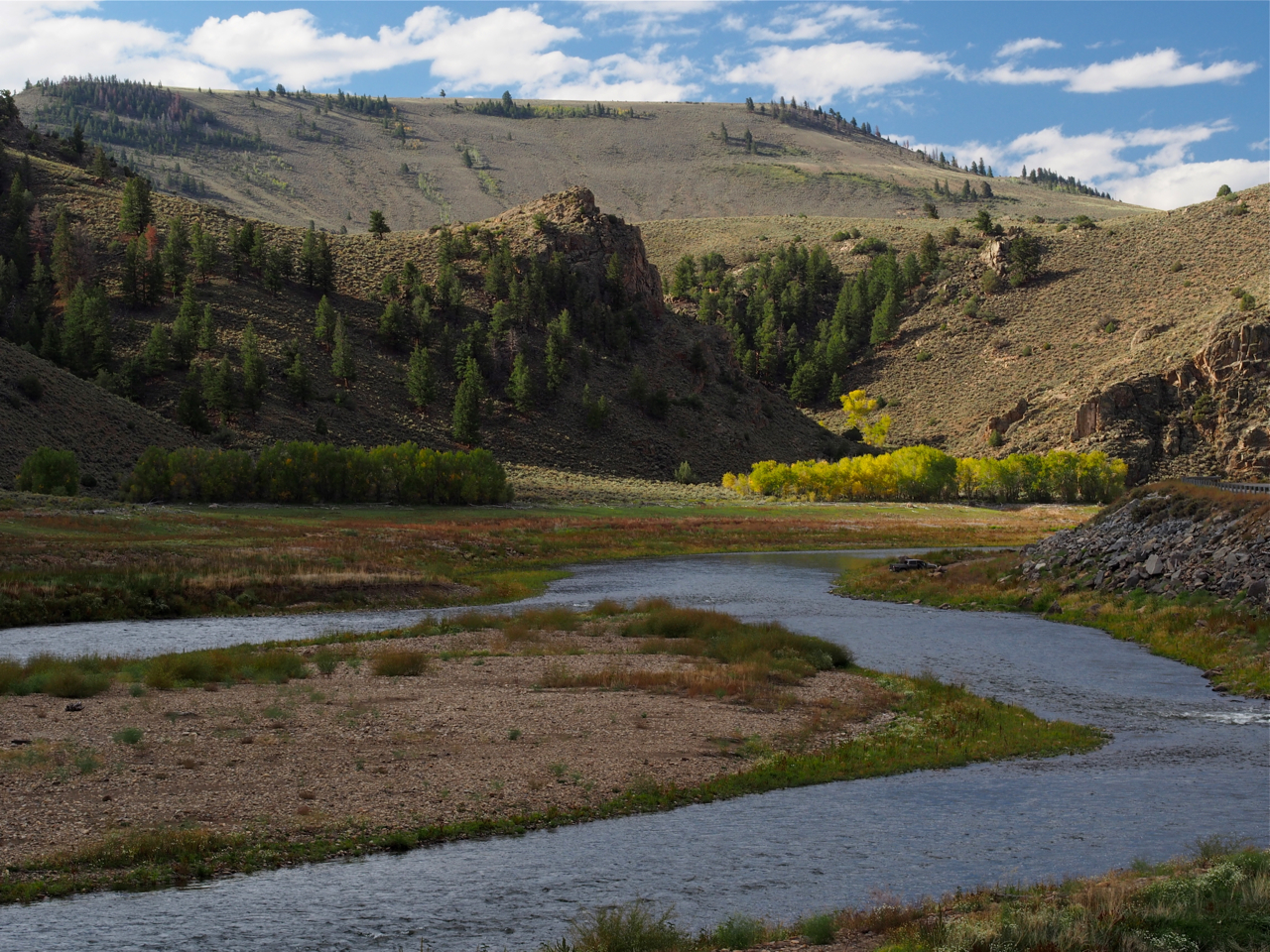
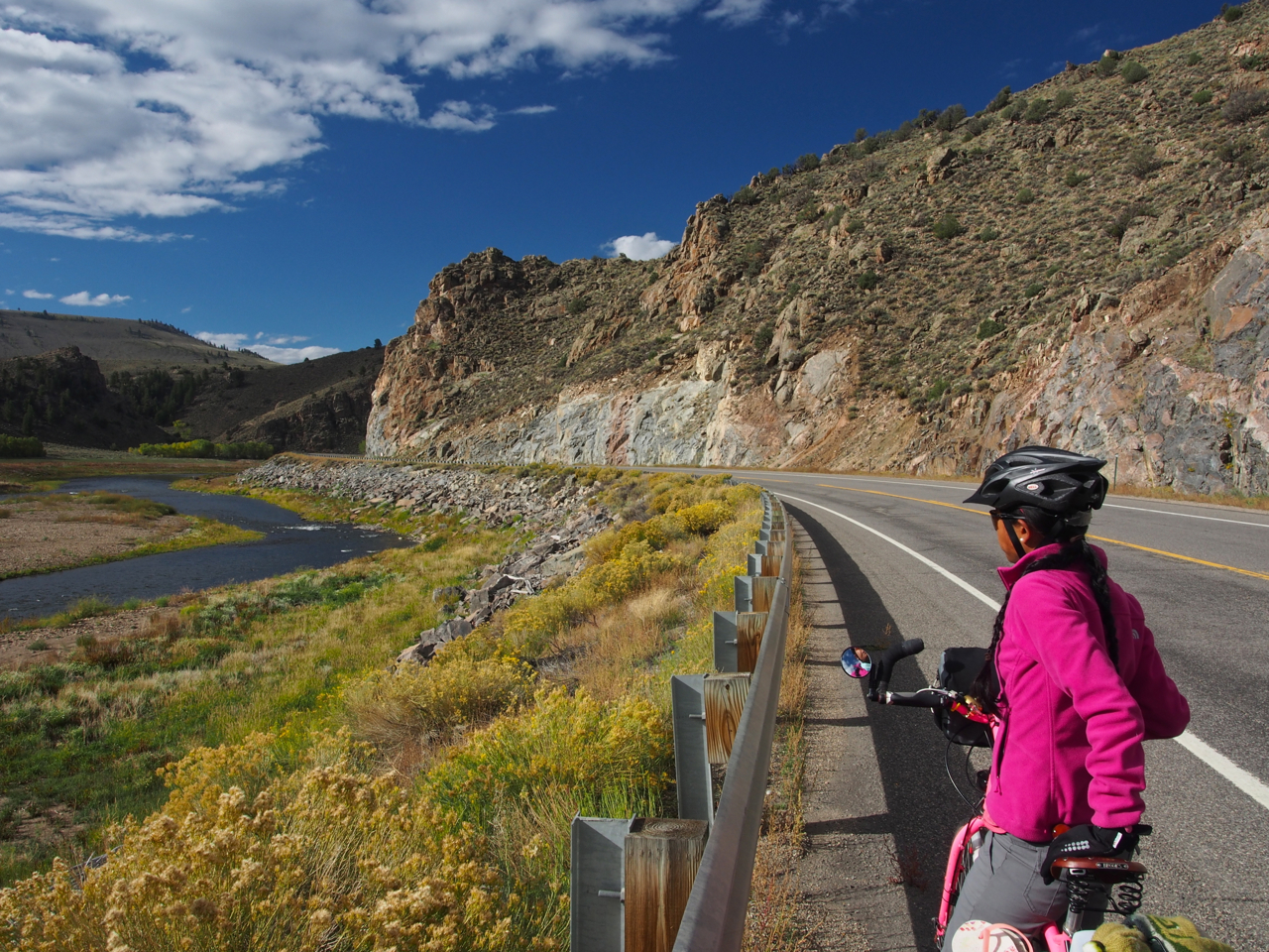
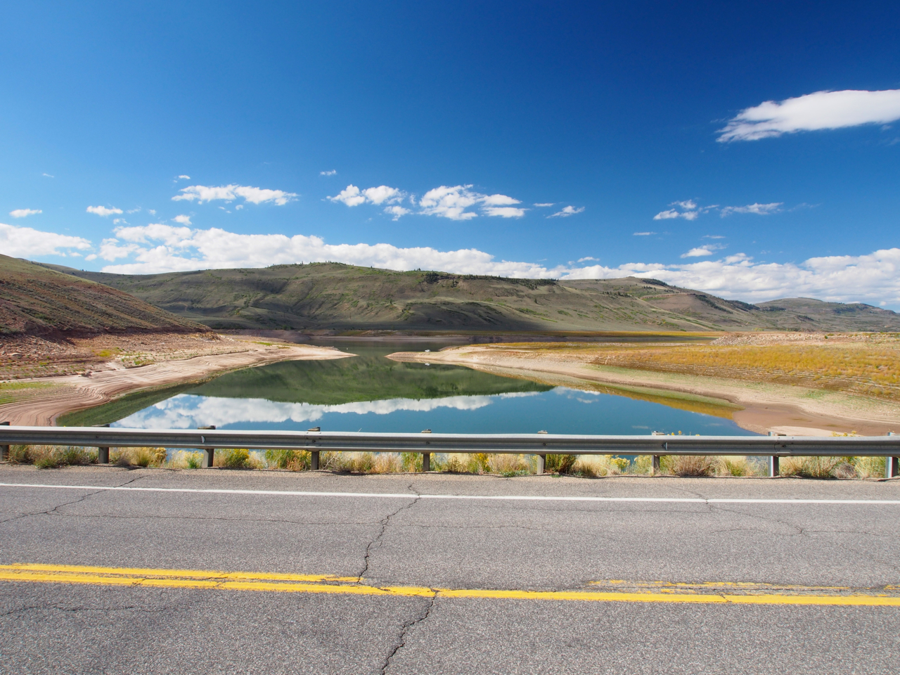
The ride out of Gunnison toward Montrose on Route 50 was spectacular.

The Gunnison River, in all its glory.

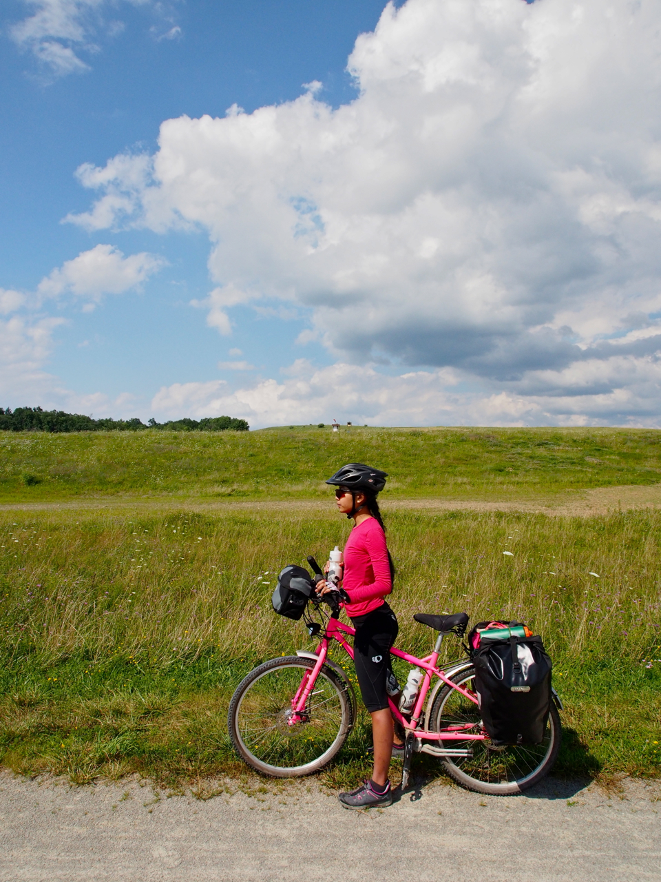
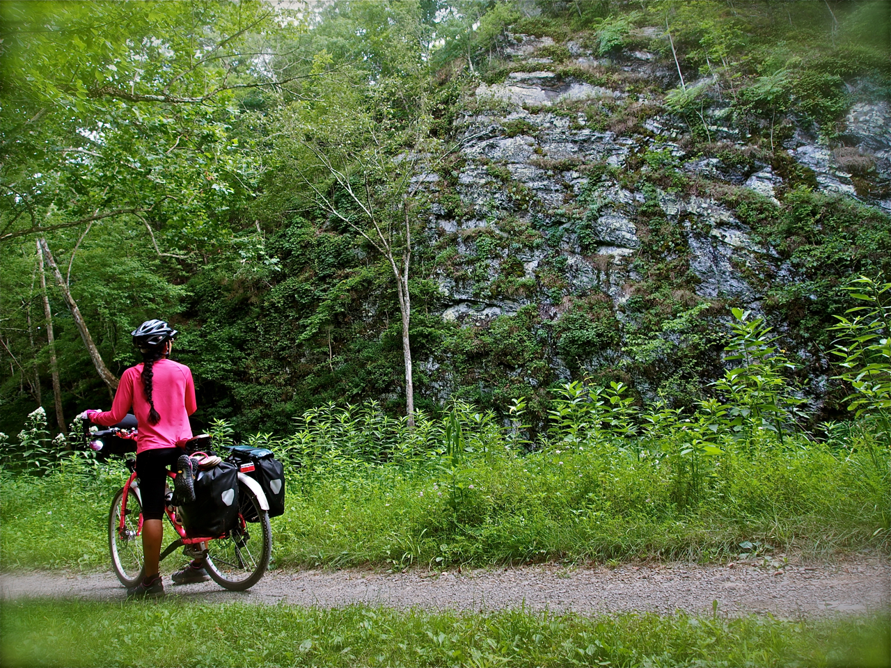
Mrs. Kane surveying the scene along Route 50 west of Gunnison, CO

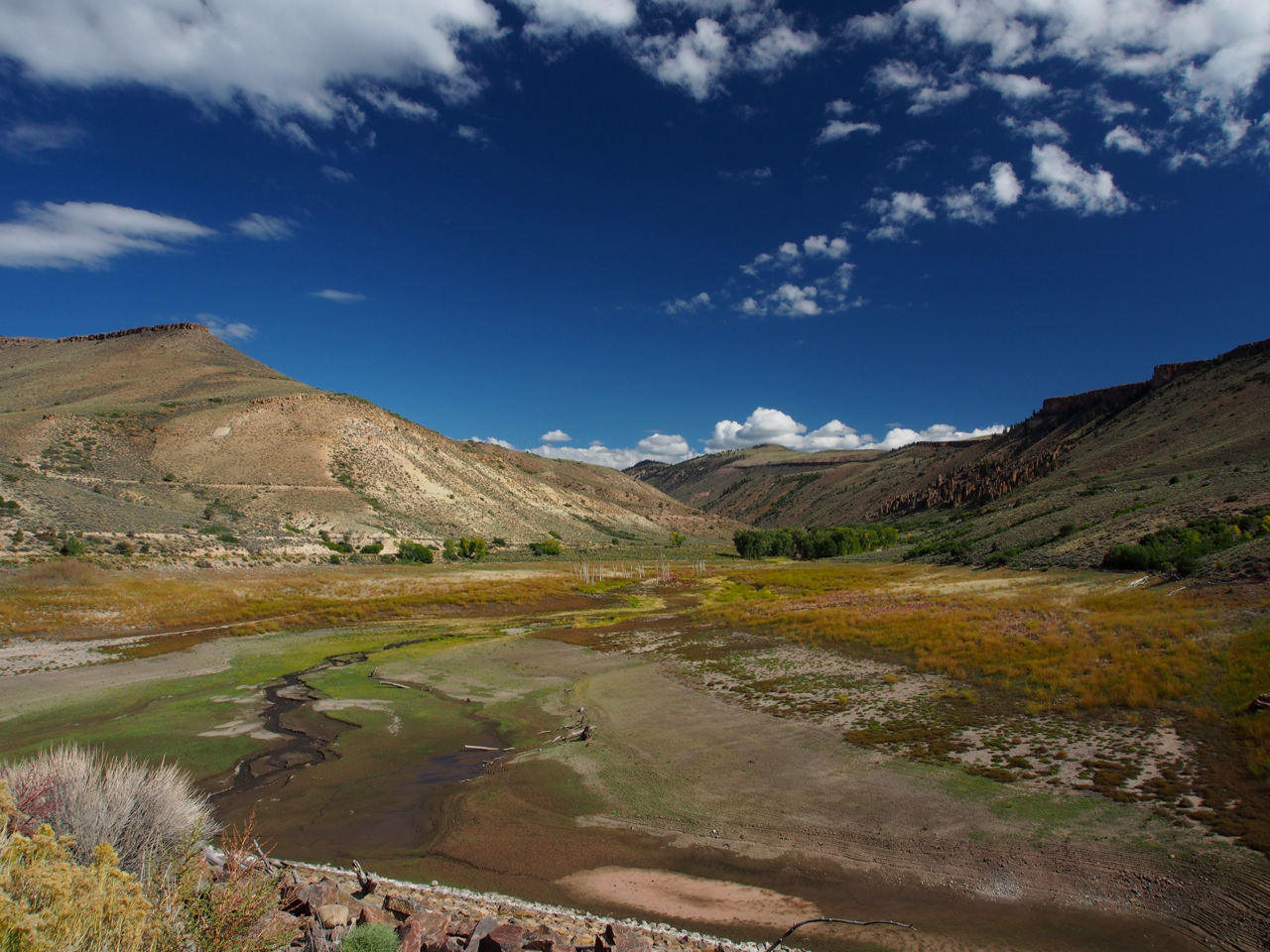
West of Gunnison, CO

Route 50 west of Gunnison, CO

Route 50 west of Gunnison, CO

Never Forget.

West of Gunnison, CO

Ranchin’

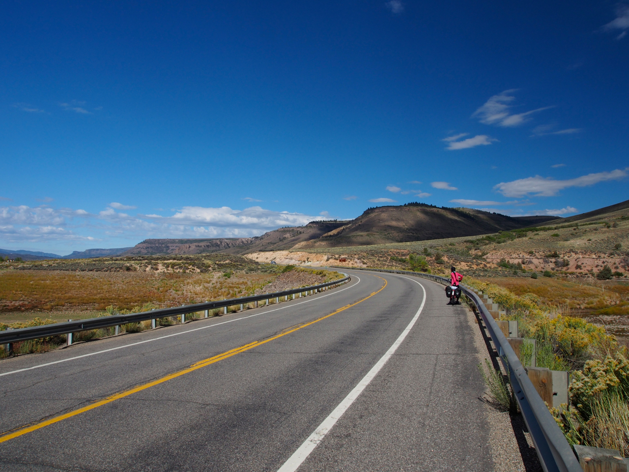
There were two significant climbs along the route between Gunnison and Montrose, CO. Sandwiched between them was this winding descent through a forested canyon.

Yes.

Long steep descents into valleys are always bitter-sweet when you know there is a hellacious climb waiting on the other side.

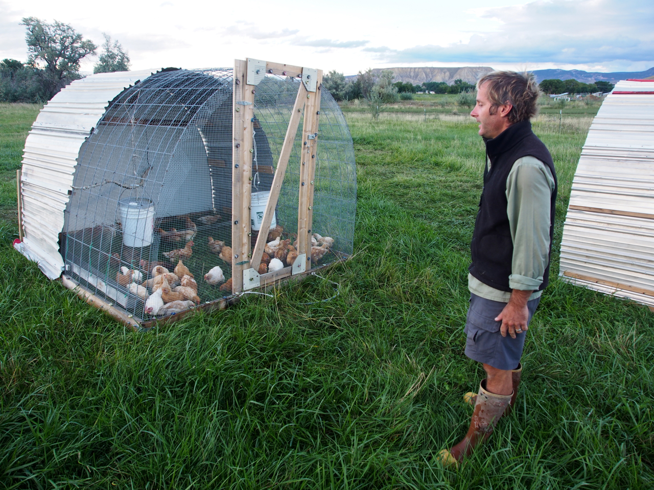
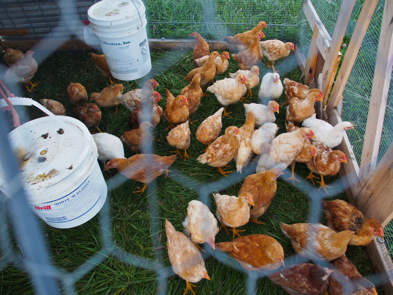
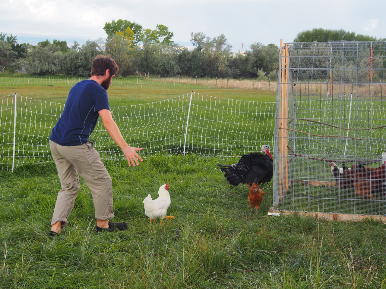
In Montrose, CO we stayed with John and Emily. John has been working on developing a small organic farm on a plot of land behind their new home. Here he is heading out to do the morning chores.

Eyna and I tagged along for the morning while John tended to his flock.


Mrs. Kane helping John feed his fowl.


Herding chickens.

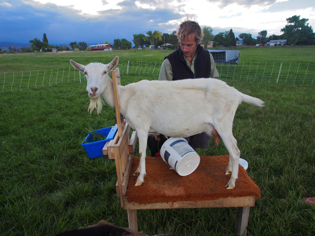
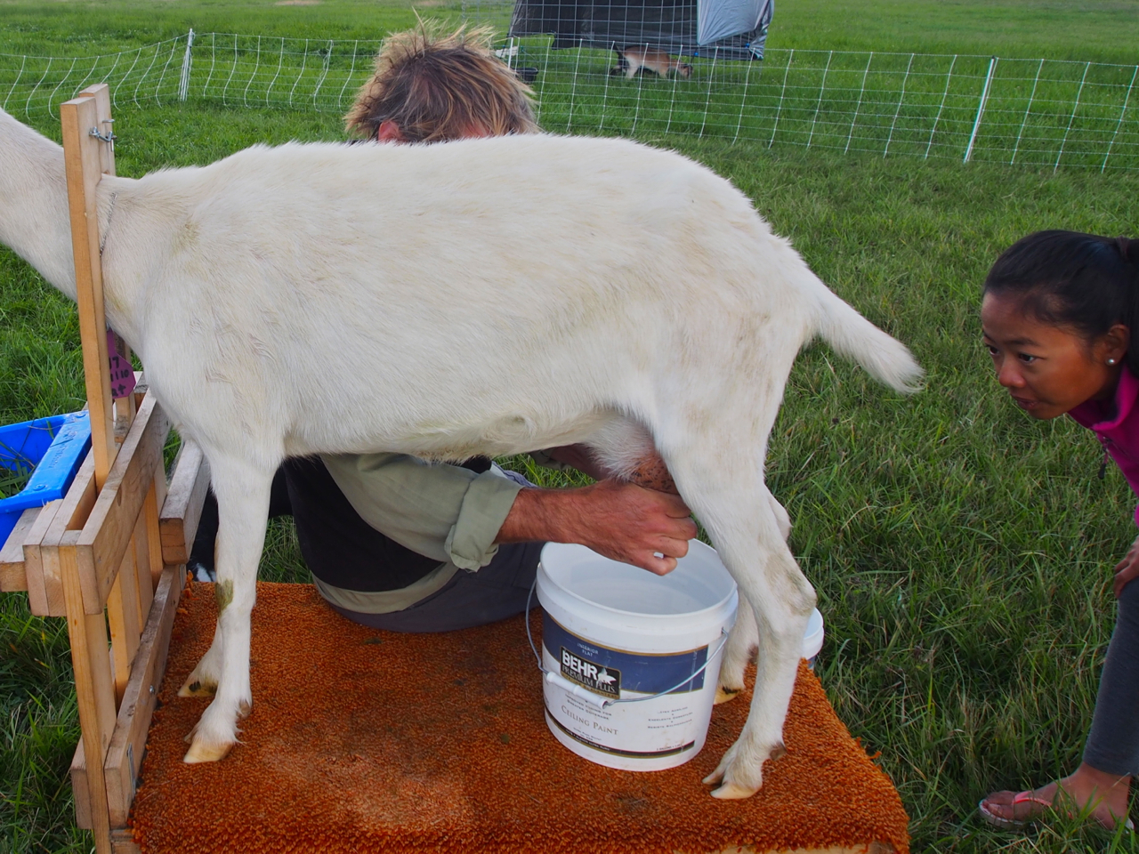
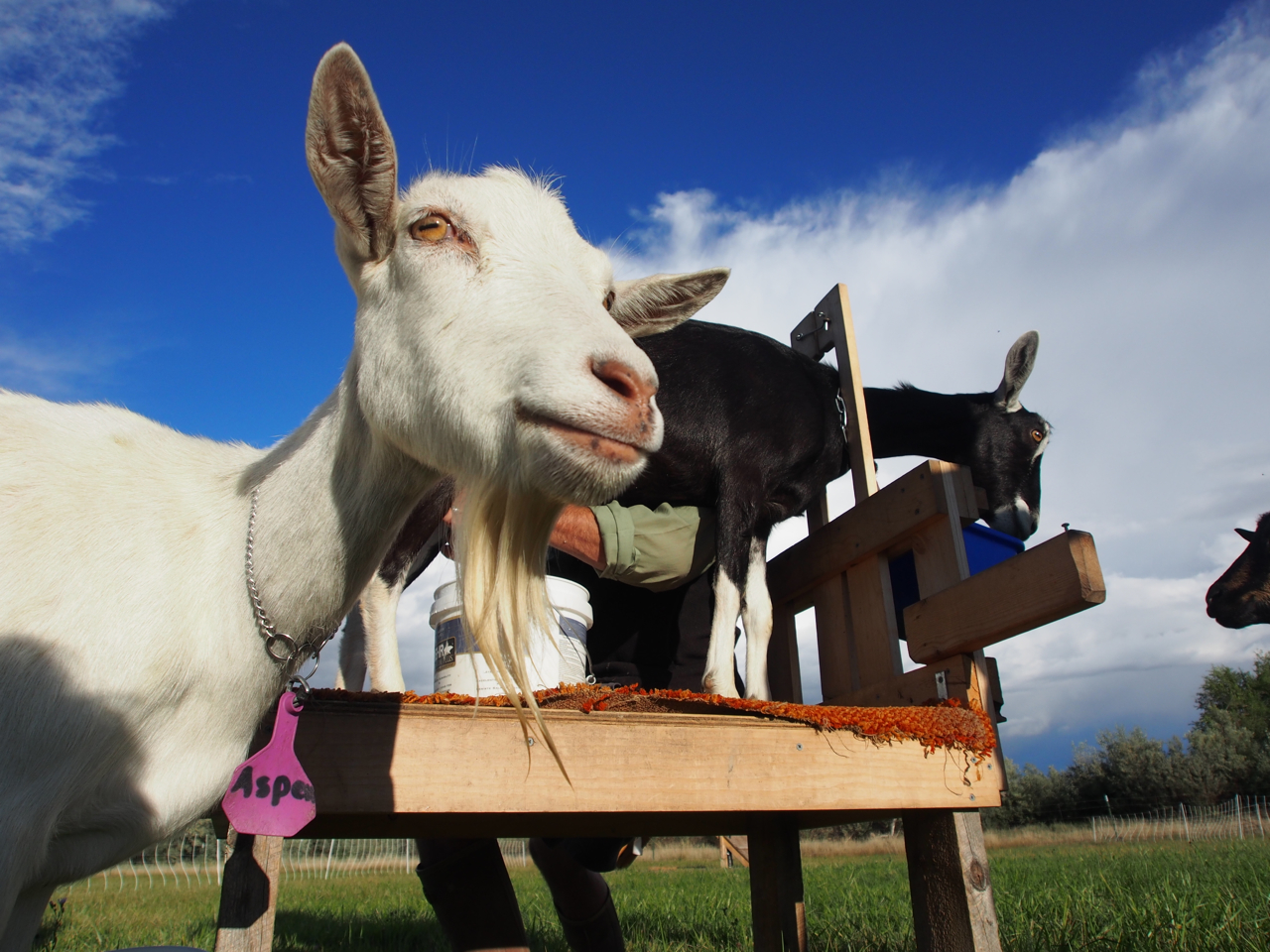
Next Up: goat milking.

Step one: Put goat in stanchion

Step Two: Clean nether regions with soap and water

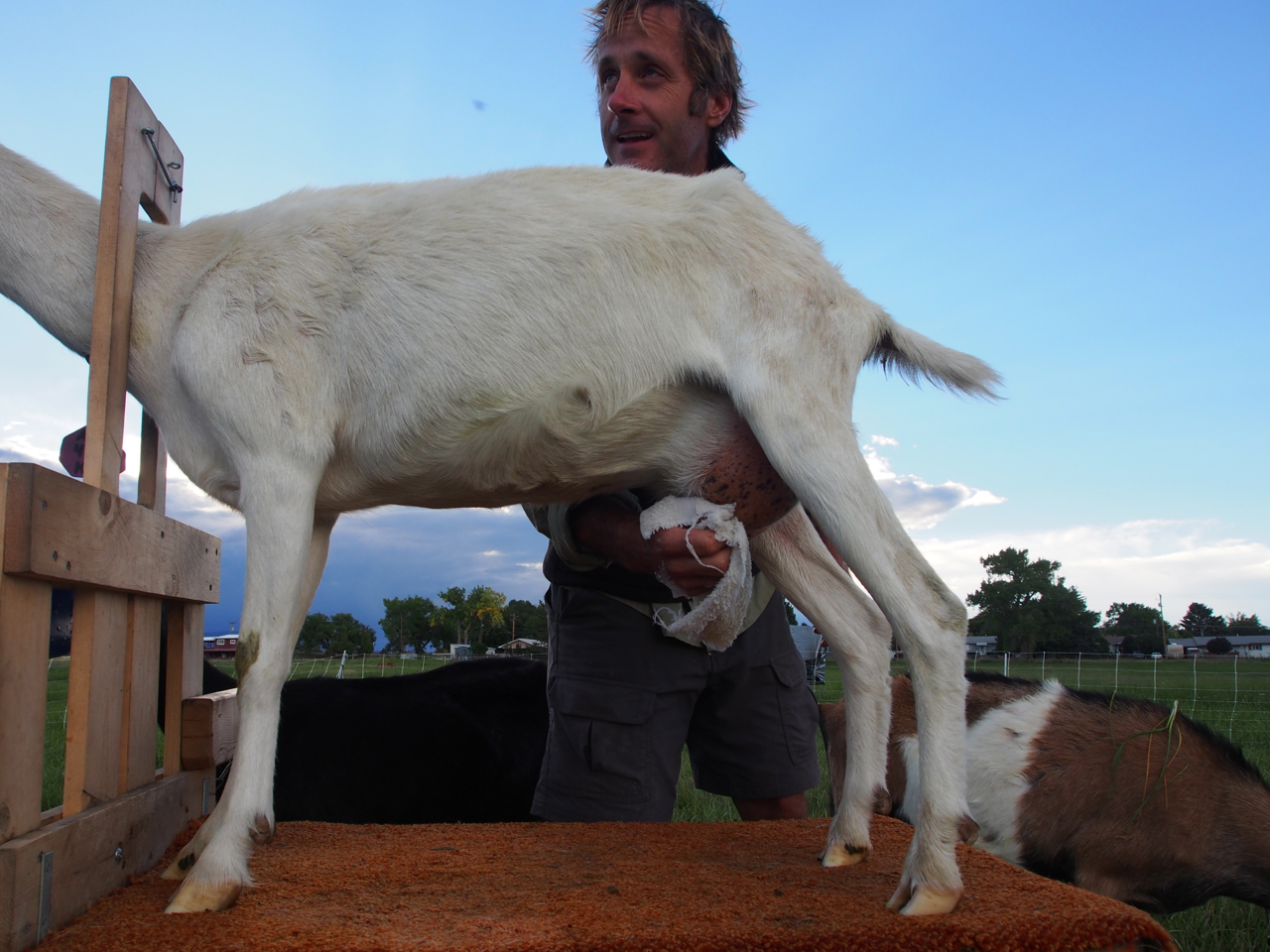
Step Three: Give ’em a squeeze

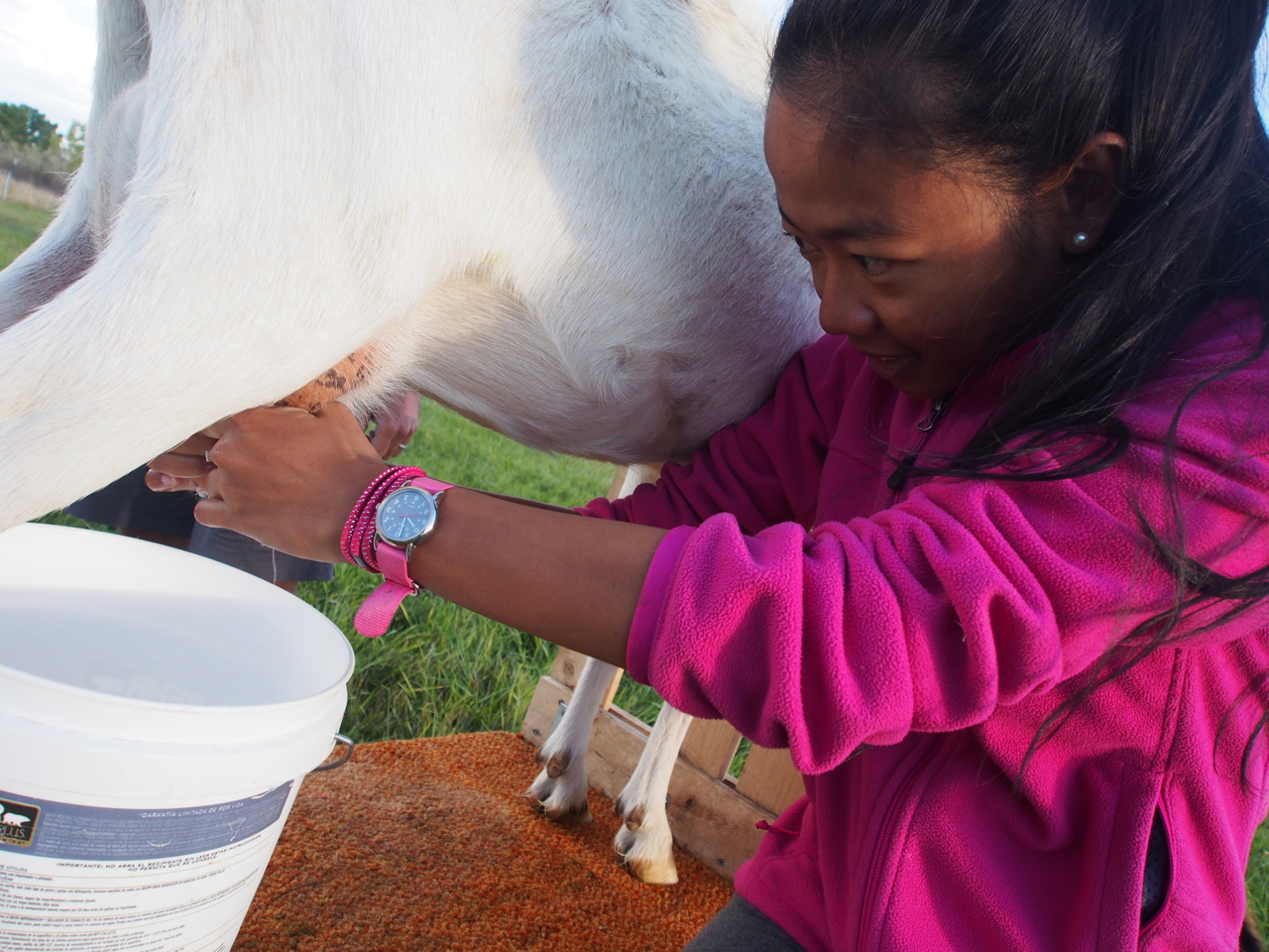
Eyna getting a good view

Eyna developing her skill set…just in case her computer science career doesn’t work out.

Such an odd photo…

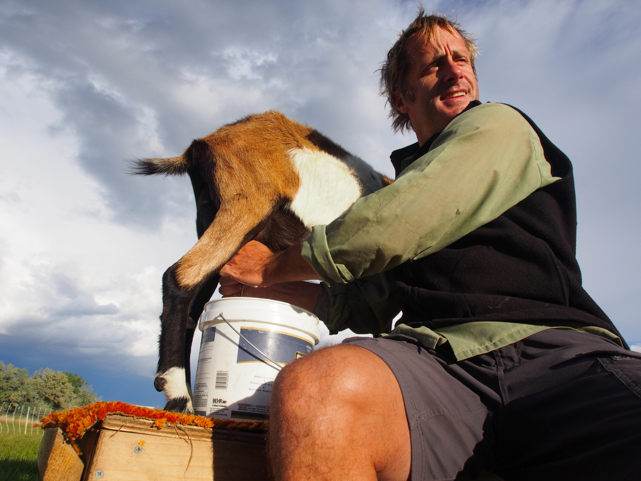
Oh, what the hell…why not?

Milk a goat

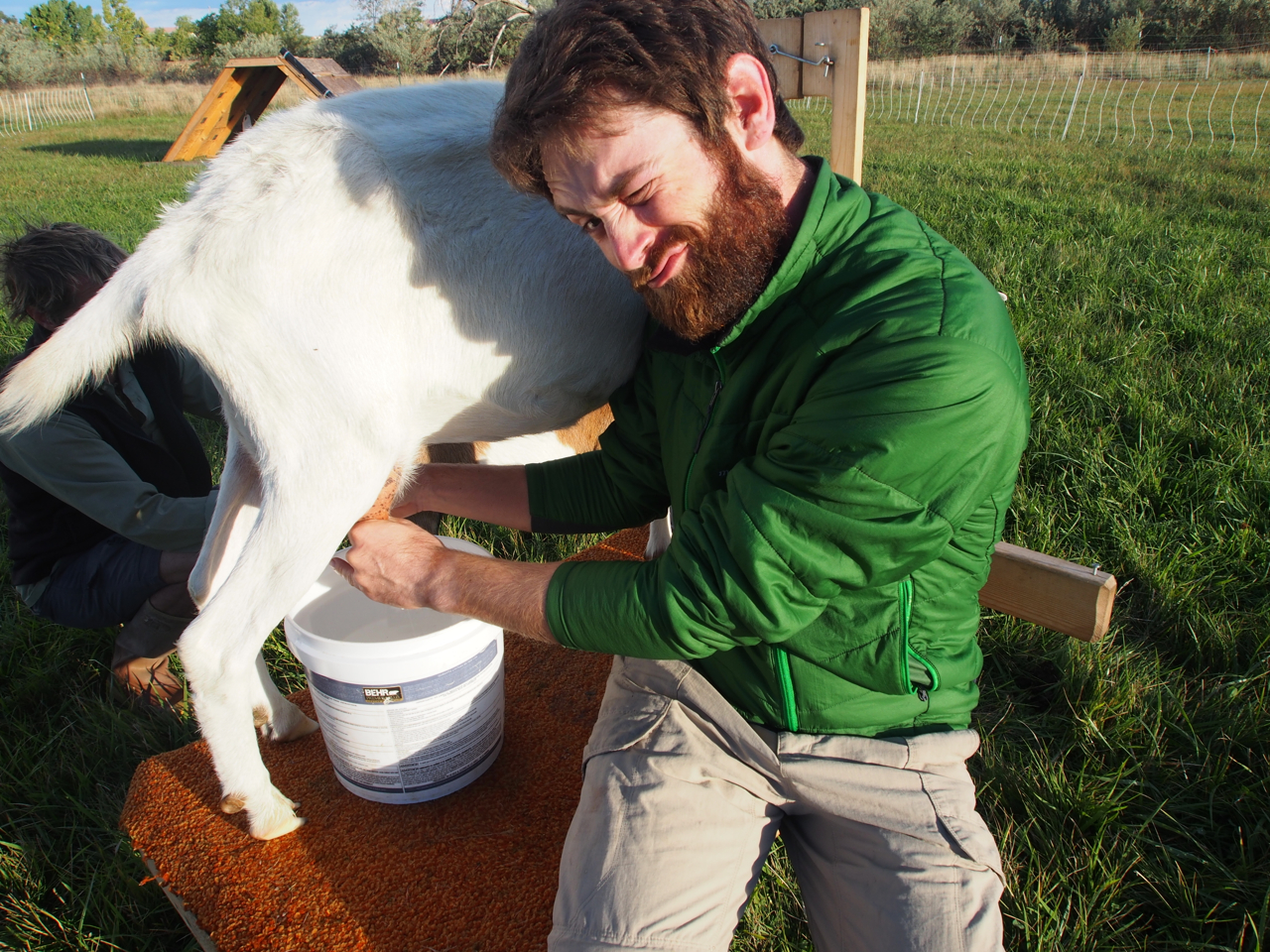
Freshly milked goat.

Good job, goat!

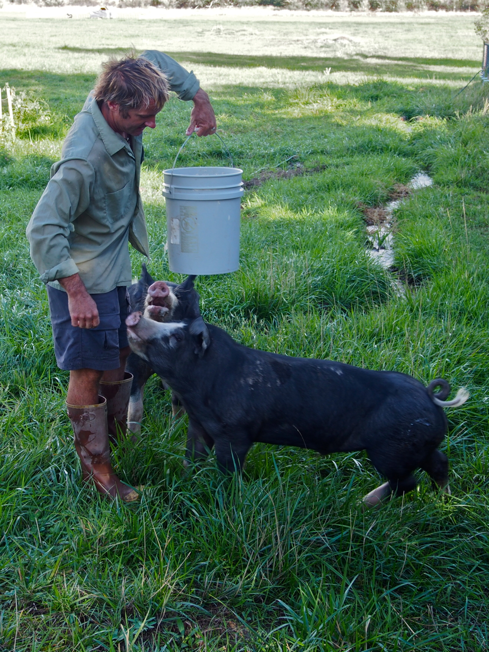
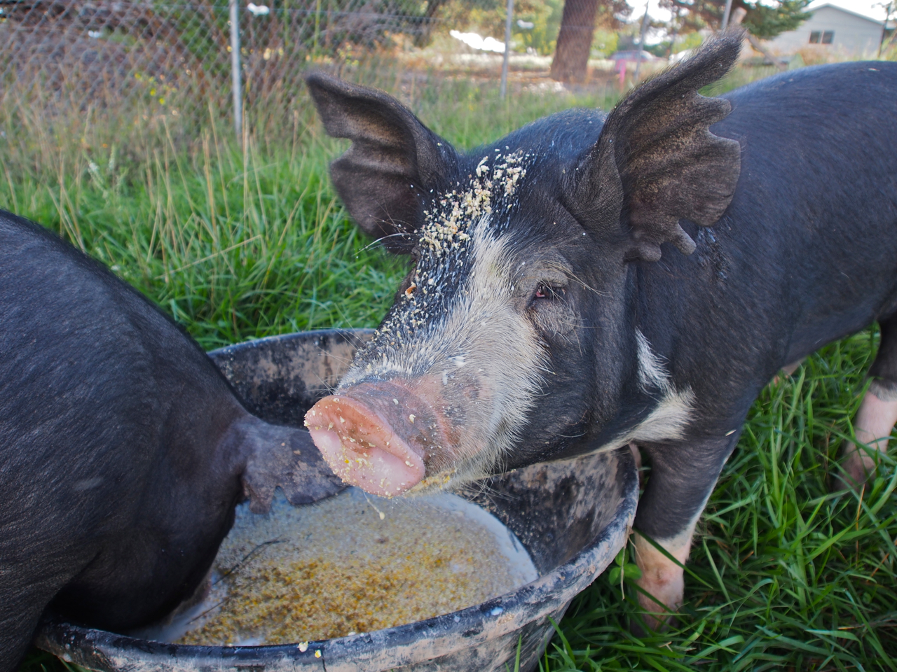
Next Up: Pig feeding

They’re living up to their reputation in this photo.

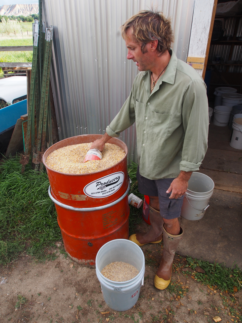
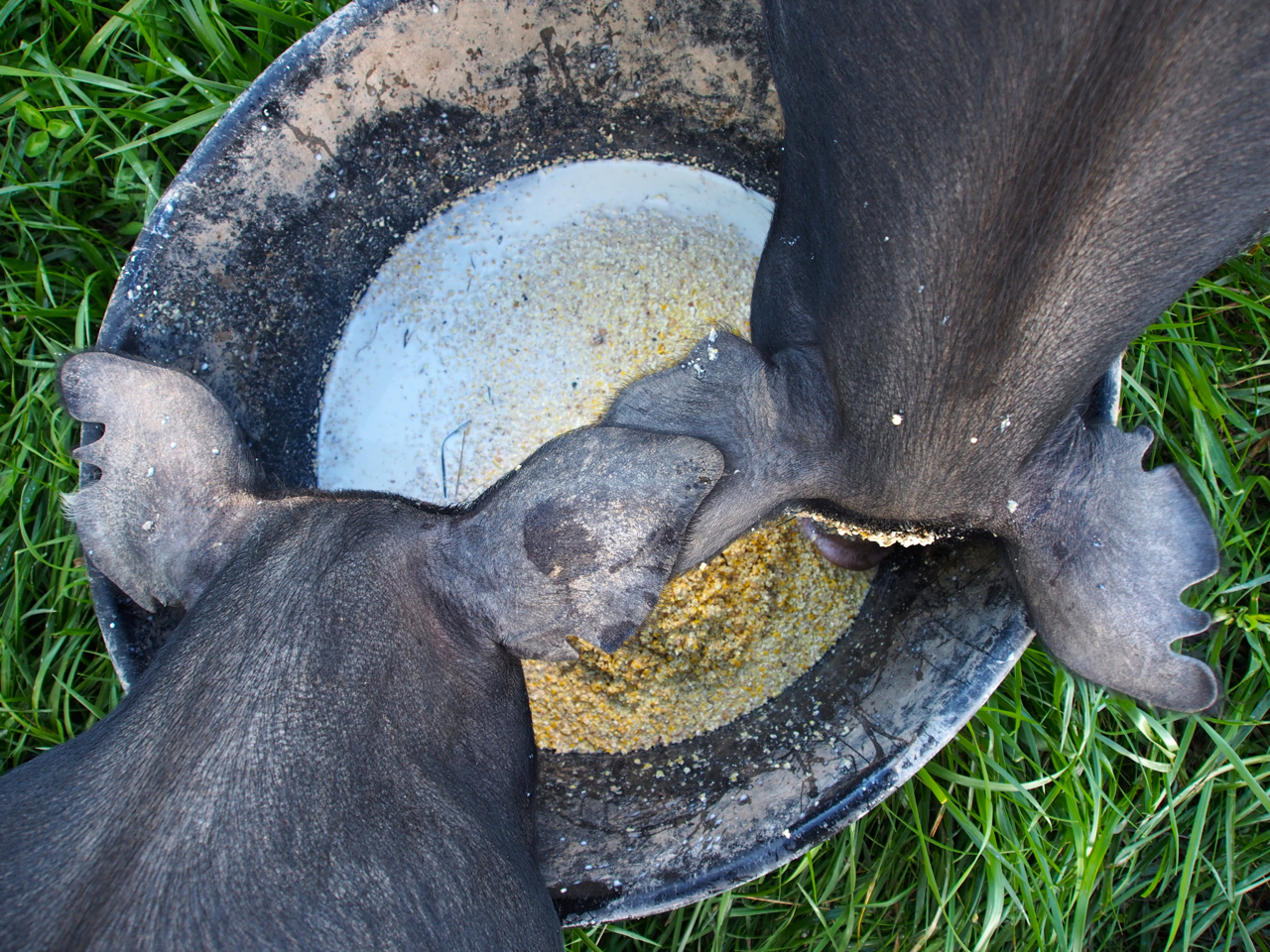
John mixes cornmeal with the goats’ milk and feeds it to his pigs.

Hey, you…yeah, you…you have something on your face.

John massages his hams daily.


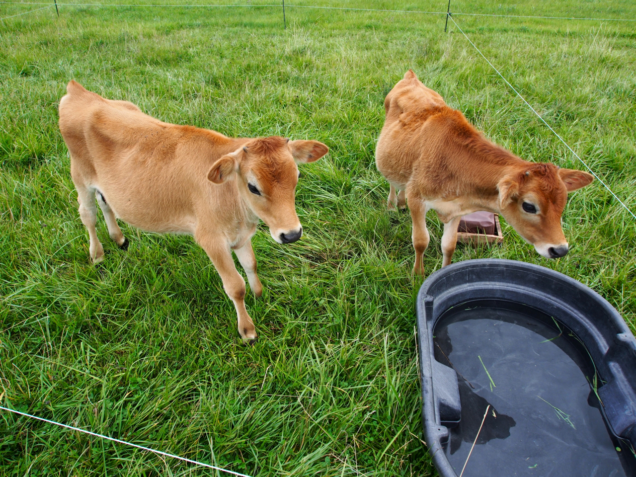
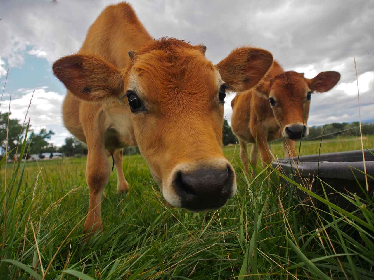
Curious like a cow.

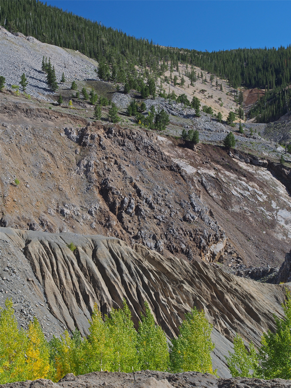
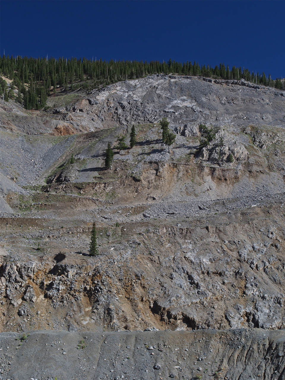
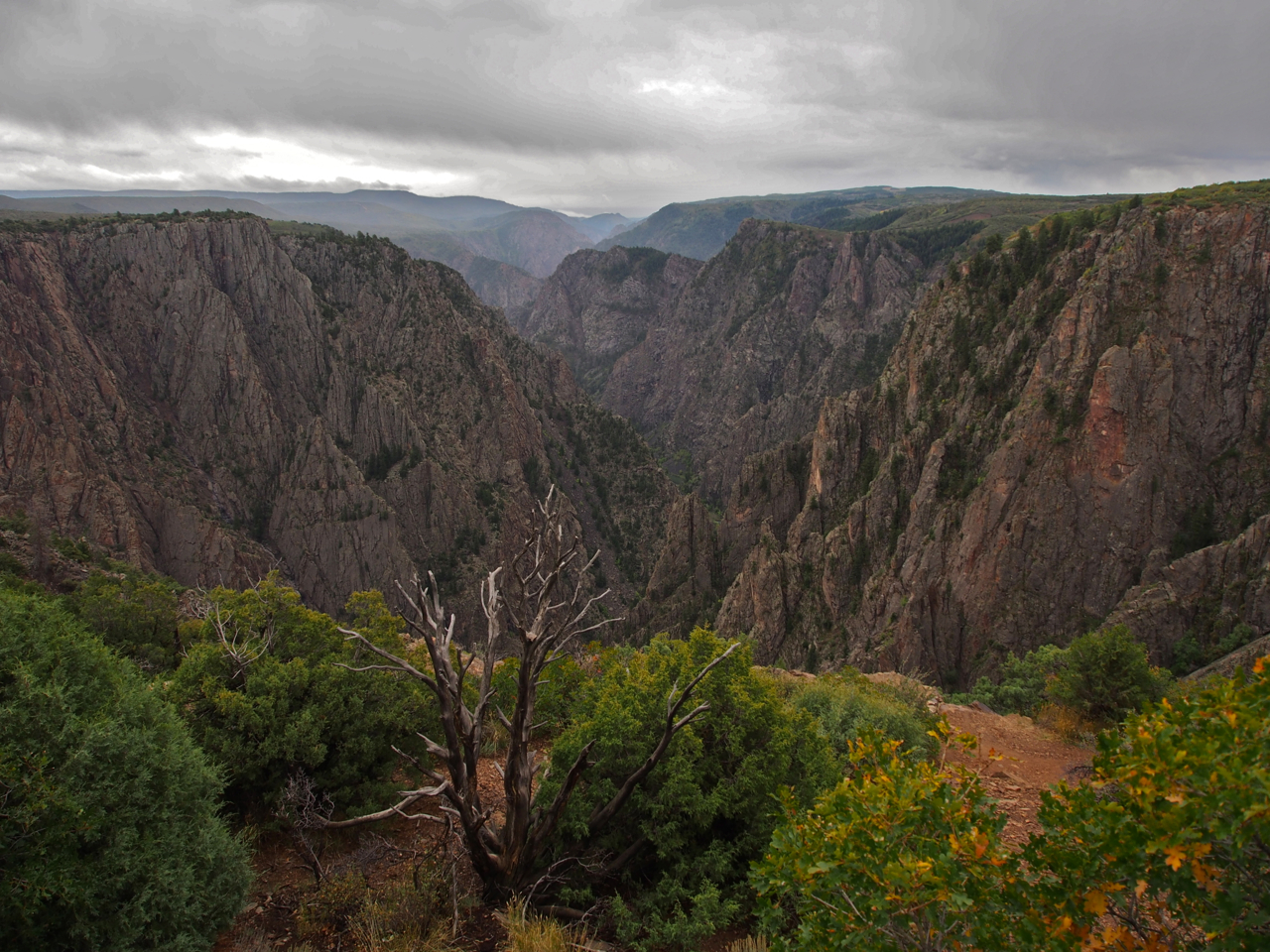
Black Canyon National Park is just outside Montrose. Unfortunately, the clouds rolled in and obscured the view only a few minutes after we arrived.

Our last view of Black Canyon National Park before the clouds rolled in.

In case you needed another reason to avoid hitchhikers…

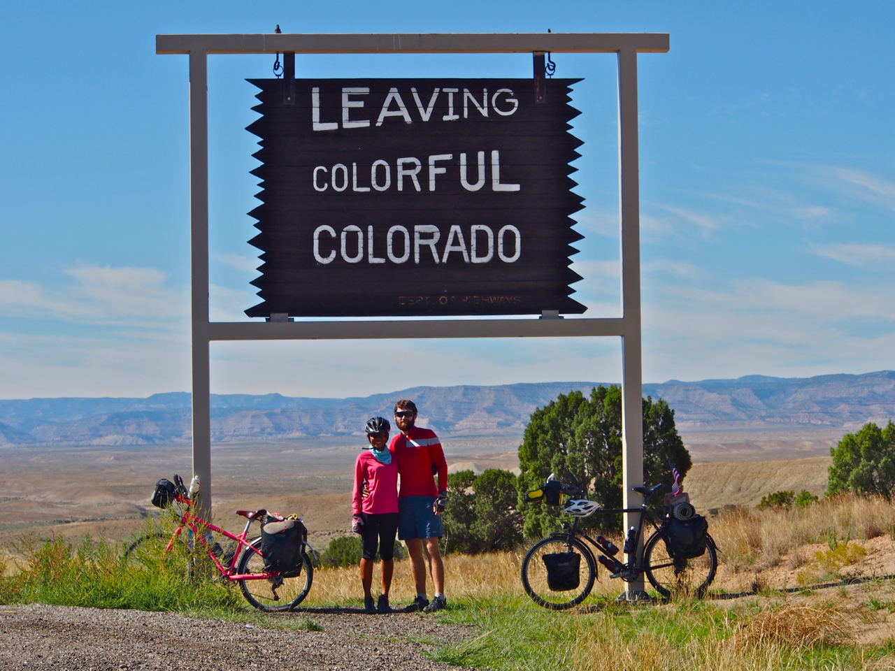
Thanks, Colorado! It’s been great!
Statistics:
September 9: Tribune, KS to Eads, CO, 59.46 miles in 7 hours and 10 minutes
September 10: Eads, CO to Ordway, CO, 63.17 miles in 6 hours and 15 minutes
September 12: Ordway, CO to Pueblo, CO, 50.89 miles in 4 hours and 49 minutes
September 16: Pueblo, CO to Westcliffe, CO, 56.52 miles in 7 hours and 17 minutes
September 18: Westcliffe, CO to Salida, CO, 50.57 miles in 5 hours and 35 minutes
September 19: Salida, CO to Sargents, CO, 33.12 miles in 5 hours and 19 minutes
September 20: Sargents, CO to Gunnison, CO, 34.2 miles in 3 hours and 8 minutes
September 21: Gunnison, CO to Montrose, CO, 62.96 miles in 6 hours and 59 minutes
September 23: Montrose, CO to Grand Junction, CO, 67.76 miles in 6 hours and 7 minutes
Total miles: 478.65 miles
Tags: 11312 feet, adventure cycling, apartment, aspen trees, B.O.B. Trailer, balcony, barley sprouts, bay of chickens, bike, biking, black bike, black canyon national park, cafe, camping, campsite, cannondale mountain bike, chicken, clif bars, climb, coffee, Colorado, colorful colorado, conifers, continental divide, corn snake, cotopaxi, cycling, cycling across the united states, cycling across the US, dog, downhill, duck, eads, elevation, energy bars, expat, eyna, farm, fast and furious, flat, foothills, forest, geese, goat, goat milking, grand junction, grassy meadows, guinea fowl, gunnison, h. Colorado: Pedaling the Plains & Mountain Passes, ham, hitchhikers, horse, jacuzzi, kansas, monarch crest, montrose, mountain pass, mountain passes, mountains, mouse, new zealand, ordway, organic farm, paul, paul & eyna, paul and eyna, pig feeding, pink and black bike, pink bike, plains, power bars, pueblo, pulled pork, punctures, ranch, rest stop, rim brakes, rocky mountains, route 50, rv, salida, sangre de cristo mountains, sargents, snickers, steep mountain, sugar city, sunrise, surly, surly long haul trucker, surly troll, tarantula, tribune, turkey, United States, vintage, westcliffe
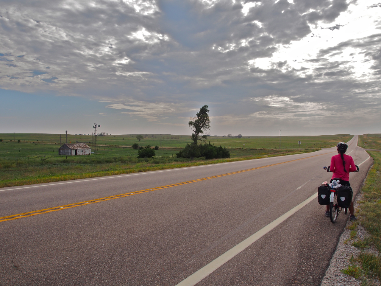
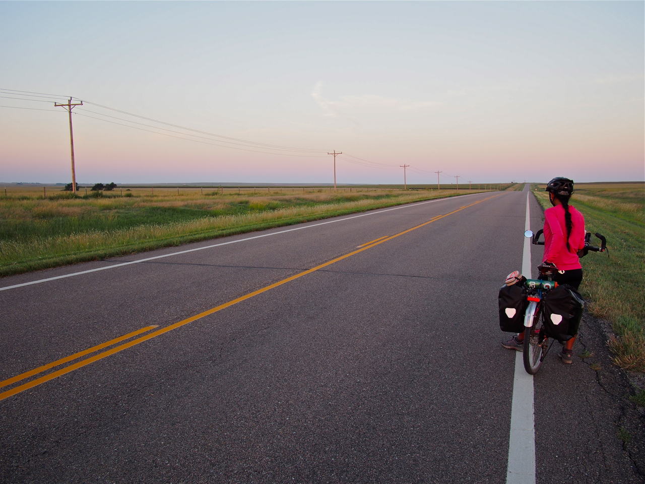
After crossing into Kansas, Eyna and I lingered for an extra day on the outskirts of Kansas City before riding southwest to the centrally located Flint Hills, and then almost due west across the archetypal Kansas plains.
During the course of our ride from Maryland through Missouri, Eyna and I have heard numerous stories about cross-country cyclists who had aborted their journeys on the plains of western Kansas. Incessant headwinds, hundreds of shadeless miles in baking heat, and the sheer boredom of riding in a flat, barren landscape were too much for them, they say. Eyna and I were both a little incredulous that any cyclist that had already been tested and vetted by the Rocky Mountains to the west or the Appalachian hills to the east would not be able to overcome the worst that the Sunflower State could dish out. How bad could it possibly be?
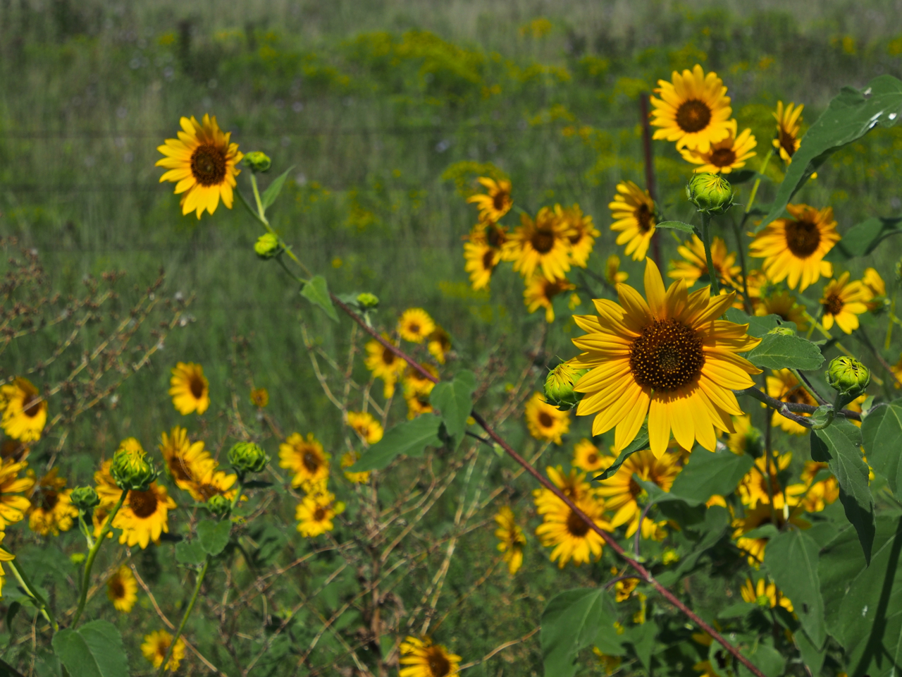
As it turns out, cycling across Kansas is not without its hurdles. Yes, there were a few occasions when we found ourselves pedaling through rolling, tall grass prairie stretching to the horizon or acres of nodding sunflowers, but for every peaceful hour there were four cruel hours of headwinds and scorching sun.
But in retrospect, it wasn’t that bad, and I couldn’t help but think about how easily we adapted to the challenges that we faced in Kansas as we slowly ground our way up our first grueling climb in the front range of the Rockies outside Pueblo, CO. It’s hard to understand how anyone who had invested so much time and effort struggling through the mountains could submit to the plains.

Our first stop after crossing the Missouri state line was the home of two very experienced cycle tourists, Greg and Karen. Here’s Eyna chowing down on some of their delicious tabouli.

Greg and Karen are both experienced bicycle travelers and deft mechanics. While I trued Eyna’s wheel, Greg plucked a few bits of debris from her tire, and Karen patched her tube and then cleaned her drivetrain. I don’t recall where Eyna was while the three of us worked on her bike…

Somebody wants attention…

Riding through the mean streets of Oletha, KS on our way to our next Warm Showers host, Gregg II. As you can see, Gregg lives in a pretty tough hood…

Eyna with the happy family…

Contemplating the miles ahead…


Gregg’s new pooch: a “Golden Doodle” (i.e. a Golden Retriever and Poodle mix)

Sleep by day, howl by night…

Barnyard scenery on the road to Emporia, KS.

Our route was blocked by construction work on a bridge outside Ottawa, KS. A friendly local stopped and suggested a dirt road detour around the construction.

Dirt rollers on a detour around a closed bridge.

This was one of the occasions when we were glad we were running 1.75″ tires. Riding slick, skinny tires on dirt and gravel would have been unnerving.

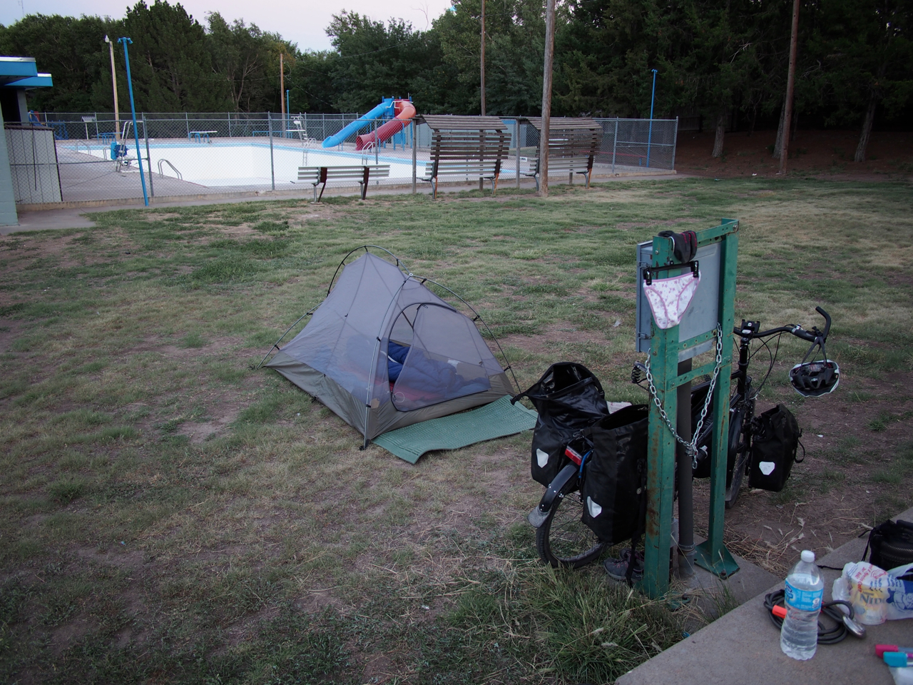
Our campsite behind a fire station in Ottawa, KS.

Somebody needs her coffee…

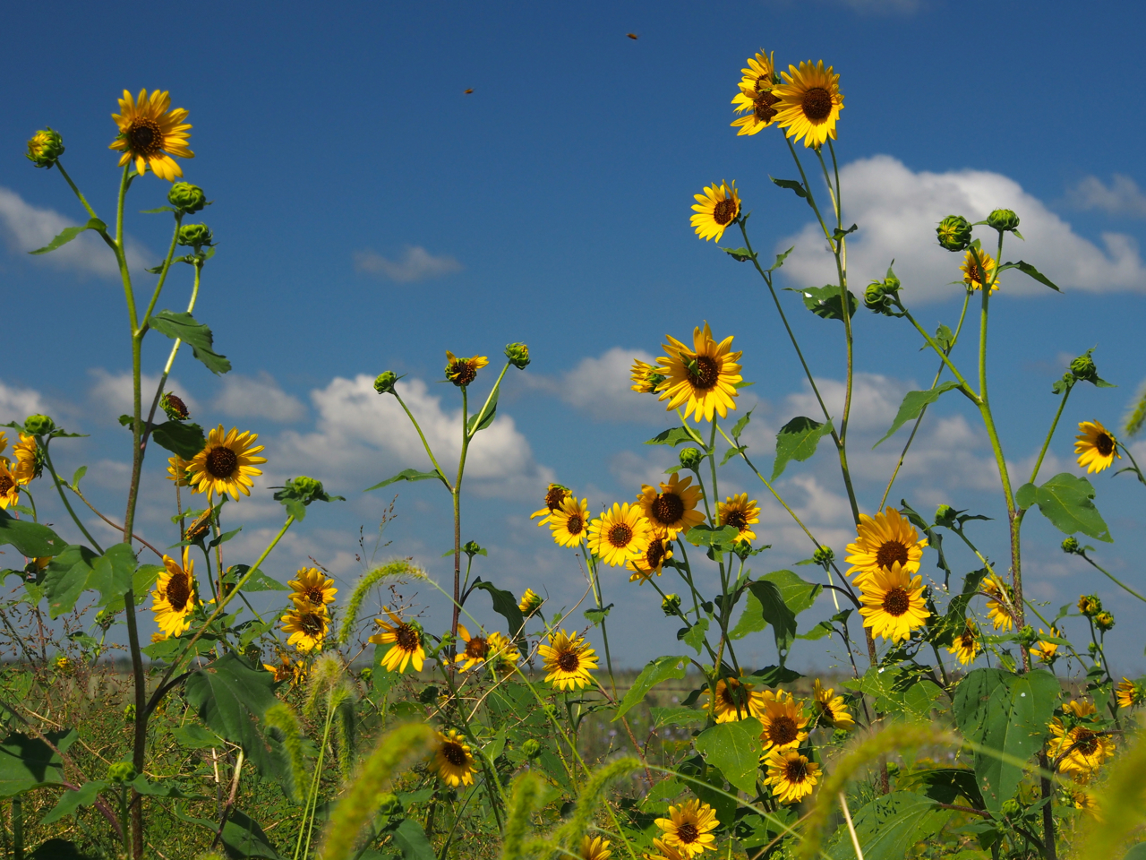
Wild Sunflowers.

Wild Sunflowers.

Wild Sunflowers.

Roadside scenery east of Emporia, KS.

In Emporia, KS we were hosted by Ben and Jessie. Ben is a very experienced cycle tourist, having ridden a recumbent some 7,000 miles in a 10-month circumnavigation on the southern and midwestern states. He’s also full of info about composting, agriculture, HTML, homemade wood stoves, and Japanese sweets.

Dog #1

Dog #2

Sprawling…

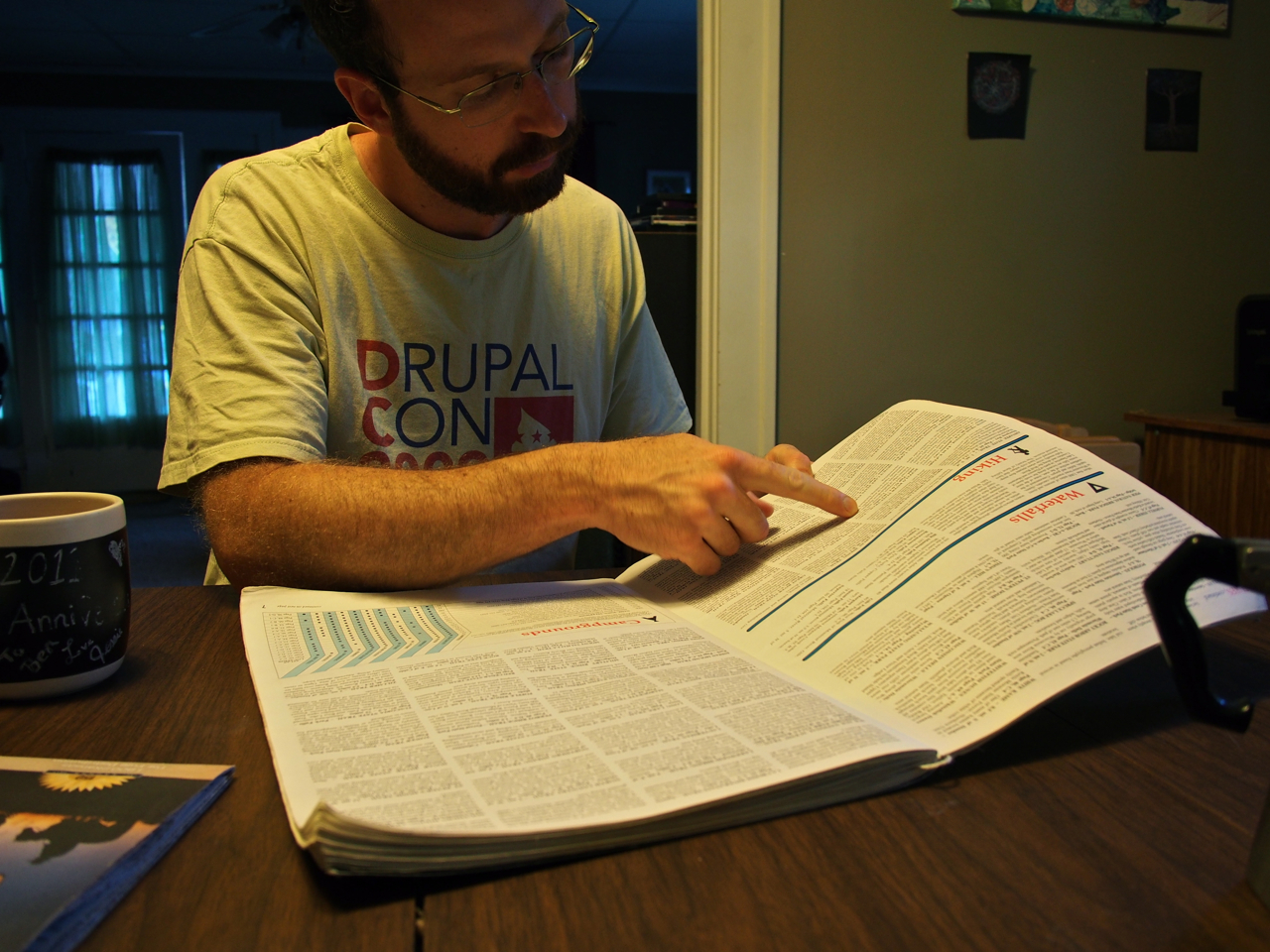
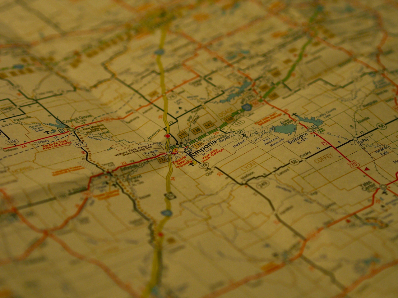
Ben pulled out the old cycling atlas and helped us map out a route across western Kansas.

Emporia etc.

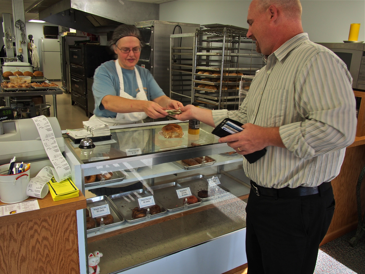
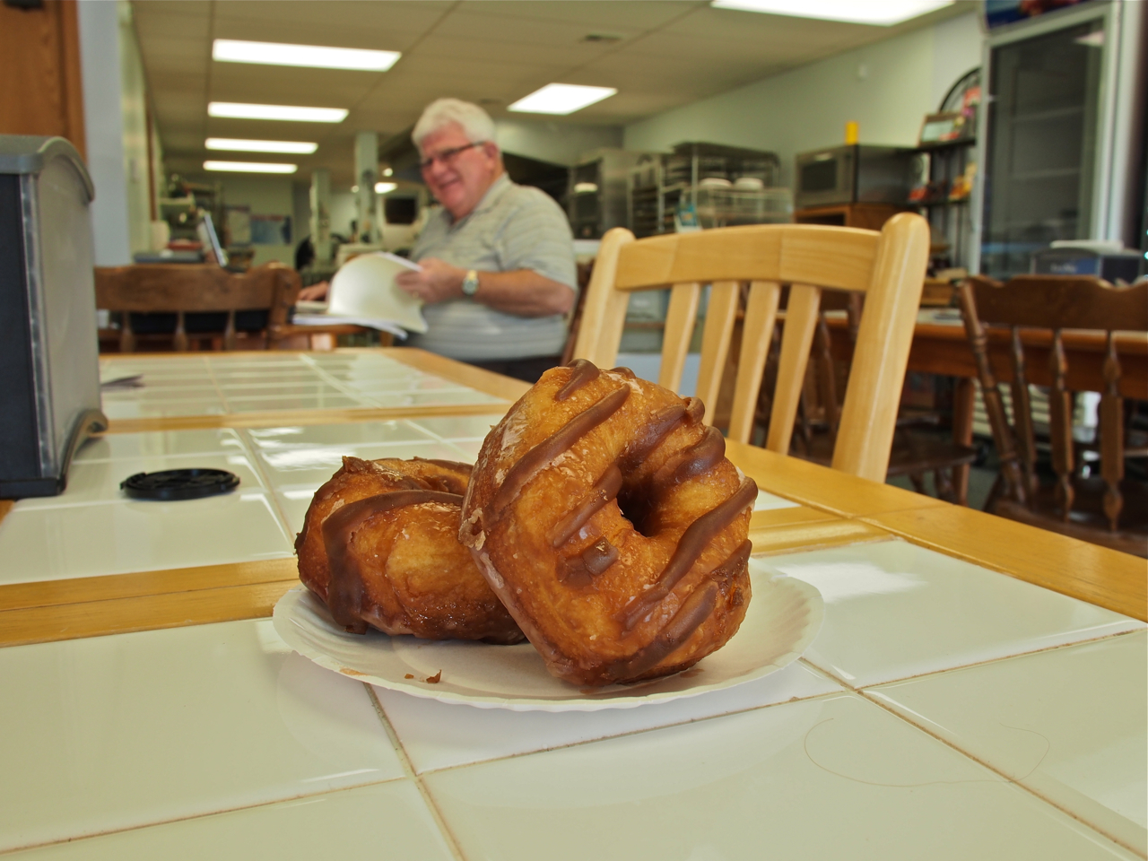
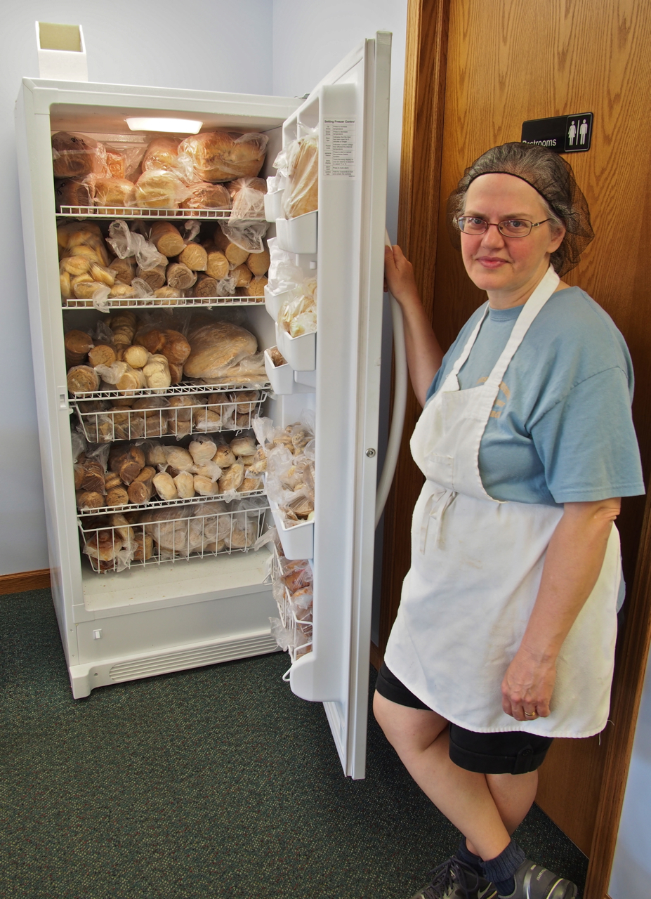
In Hillsboro, KS we stayed with Del, who teaches at the local college. As a former racer, bike mechanic, professional photographer, and international traveler, Del is a great source of info for anyone pedaling through Hillsboro. Here he is receiving the goods from his pastry dealer.

Hillsboro is home to a surprisingly good bakery.

Eyna dissecting a cinnamon bun…

The Hillsboro Bakery

Day old donuts: $0.30

Strategic Pastry Reserves

Hilarious.

In many parts of Kansas the road network is a simple 1-mile square grid. The grid system made navigating around a busy stretch of road west of Hillsboro pretty straightforward. Here’s Eyna on a 10-mile dirt road detour…

Nice, smooth, well-maintained gravel.

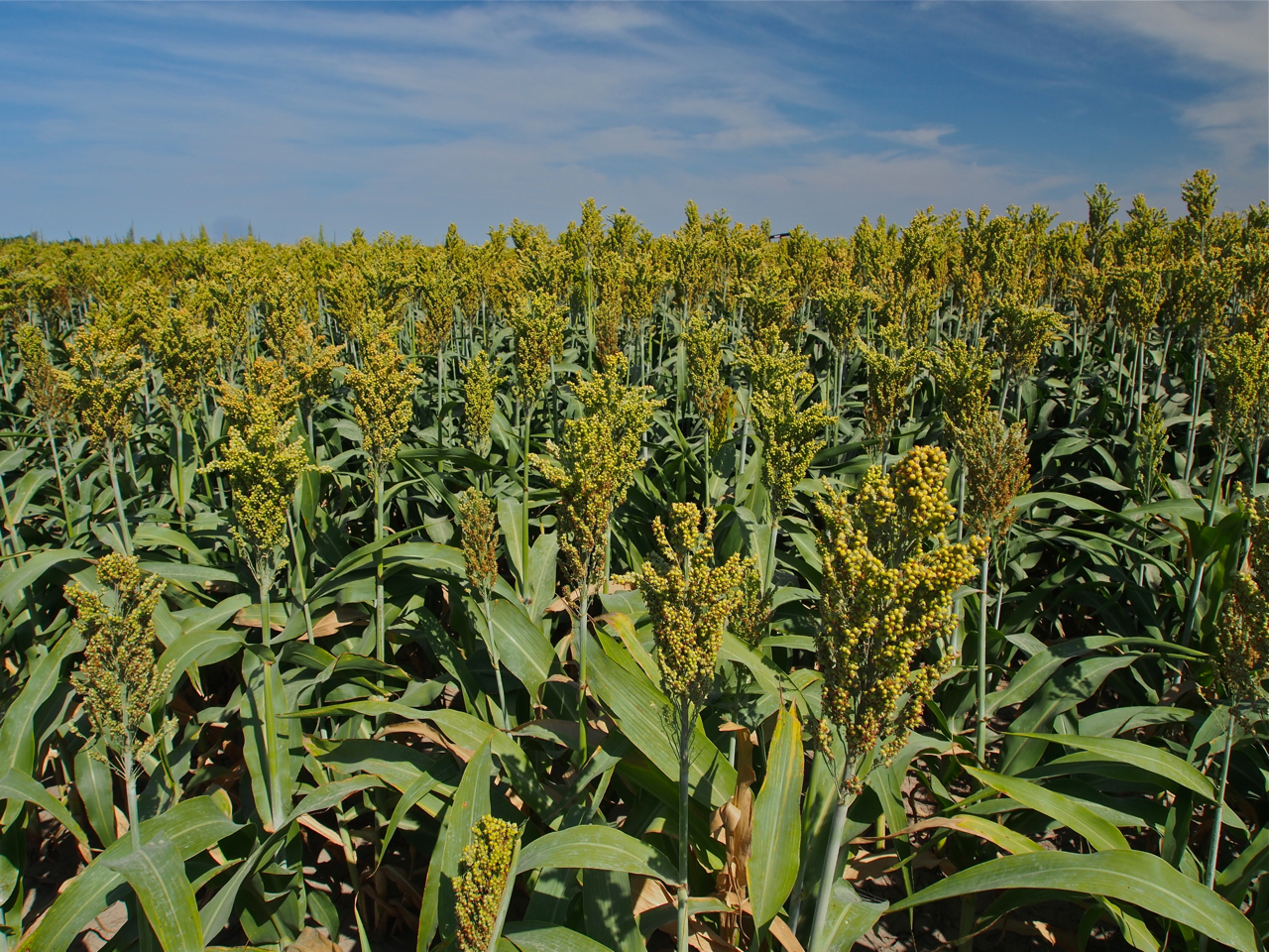
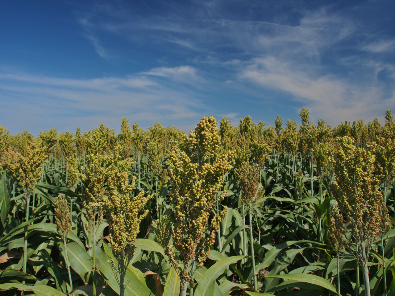
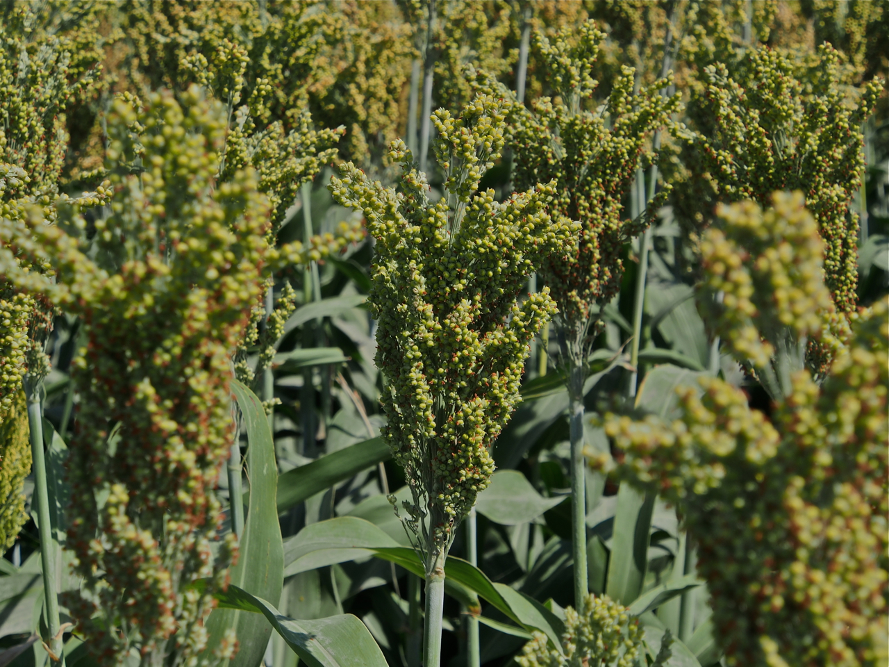
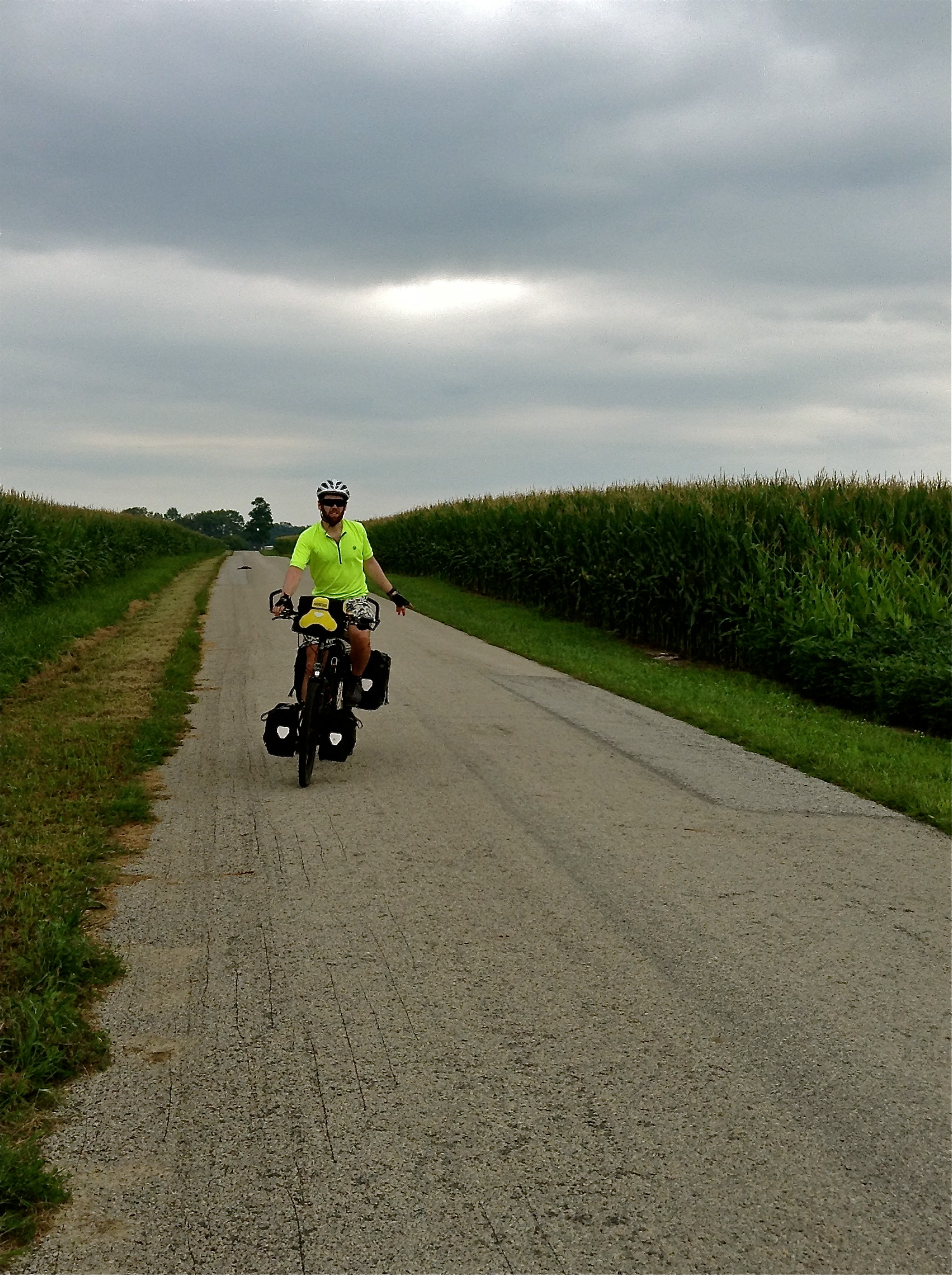
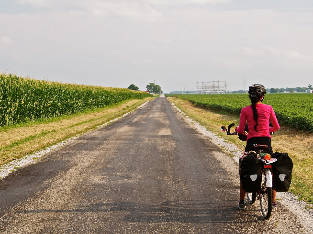
As we rode west, the environment became dryer and the endless fields of corn and soybeans gave way to sorghum.

Sorghum apparently requires less water than corn or soybeans.

It’s primarily used as animal feed, according to one local we spoke with.

Gravel and Sorghum

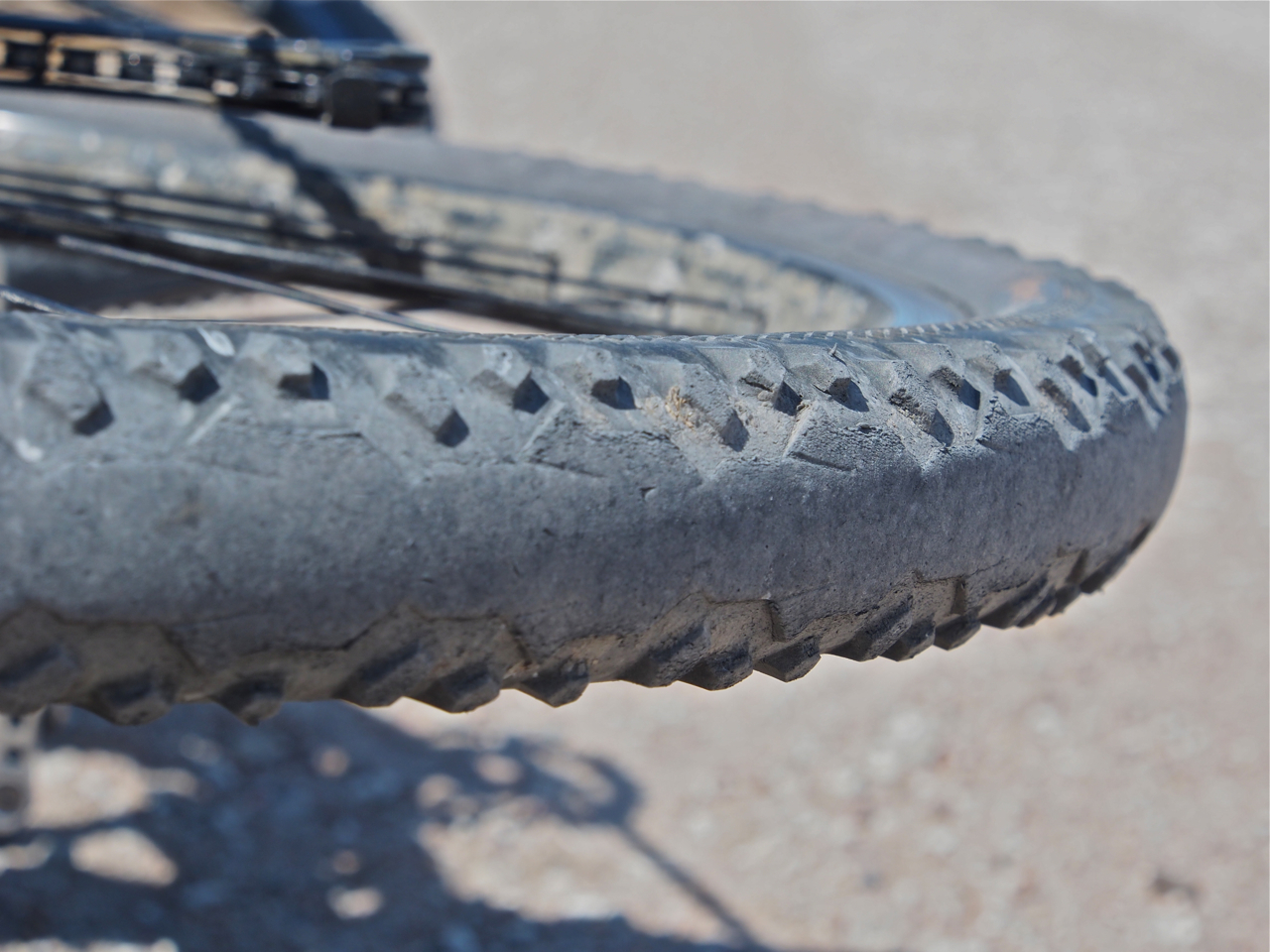
The Continental Travel Contact Tires (1.75 x 26″, wire bead) on my bike have over 3,000 miles on them. My rear tire is usually obscured by my rear fender, but when I laid my bike down to take photo on a lonely stretch of gravel road I noticed that it’s beginning to show some signs of wear. The rear tire is the drive tire (i.e. it propels the bike), so it wears more quickly than the front tire. After switching the front and rear tires, I’m confident that they’ll make it to the coast.

Roadside Scenery

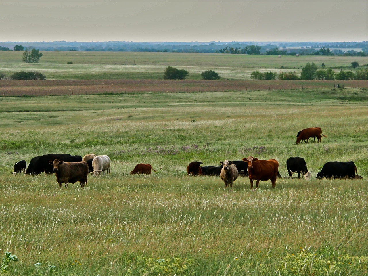
Moo.

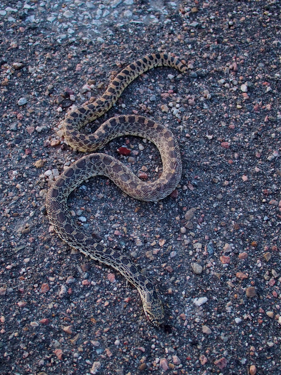
There wasn’t much wildlife in western Kansas. This was one of the highlights: a dead snake.

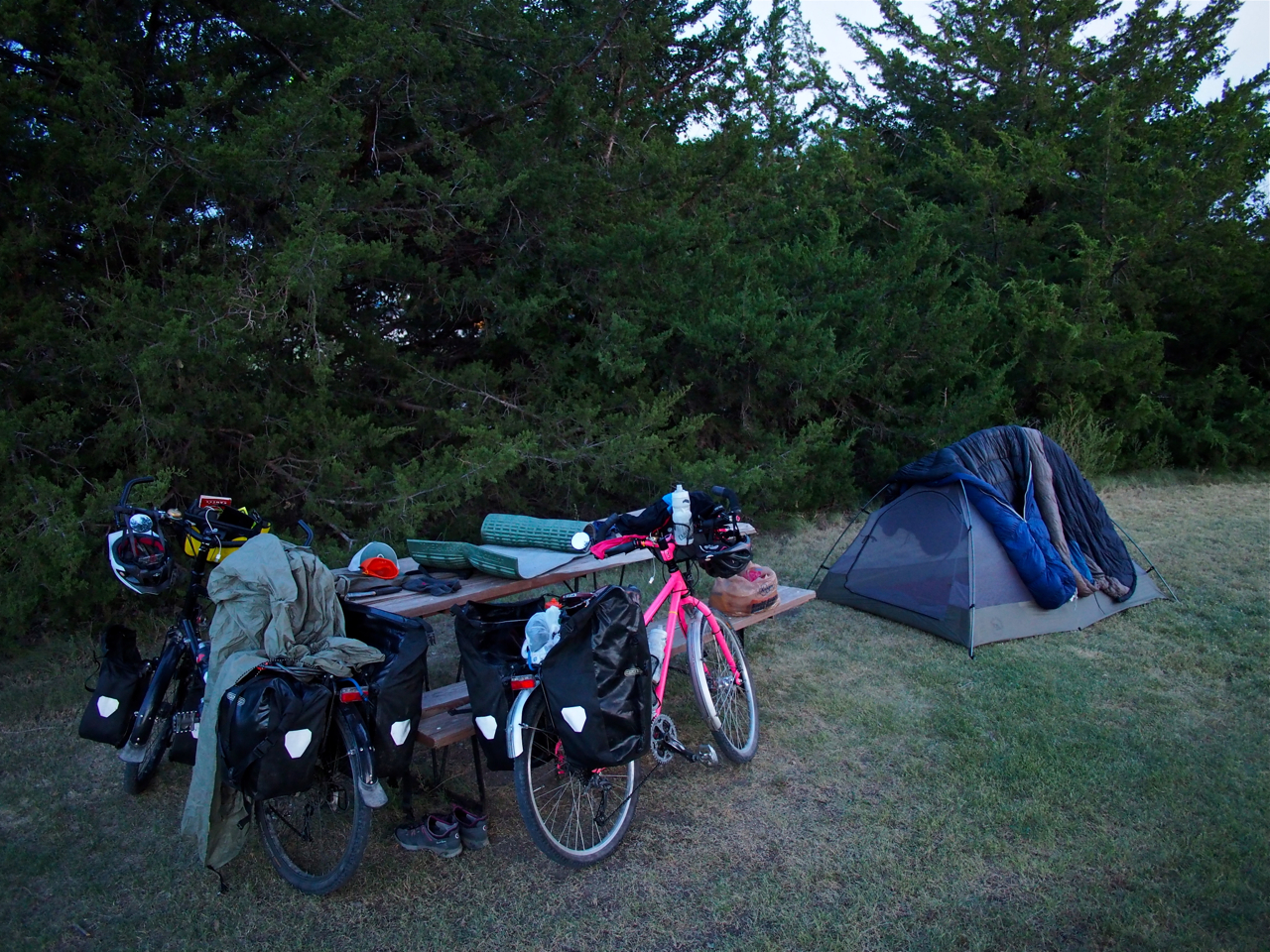
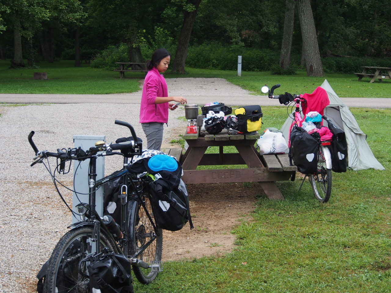
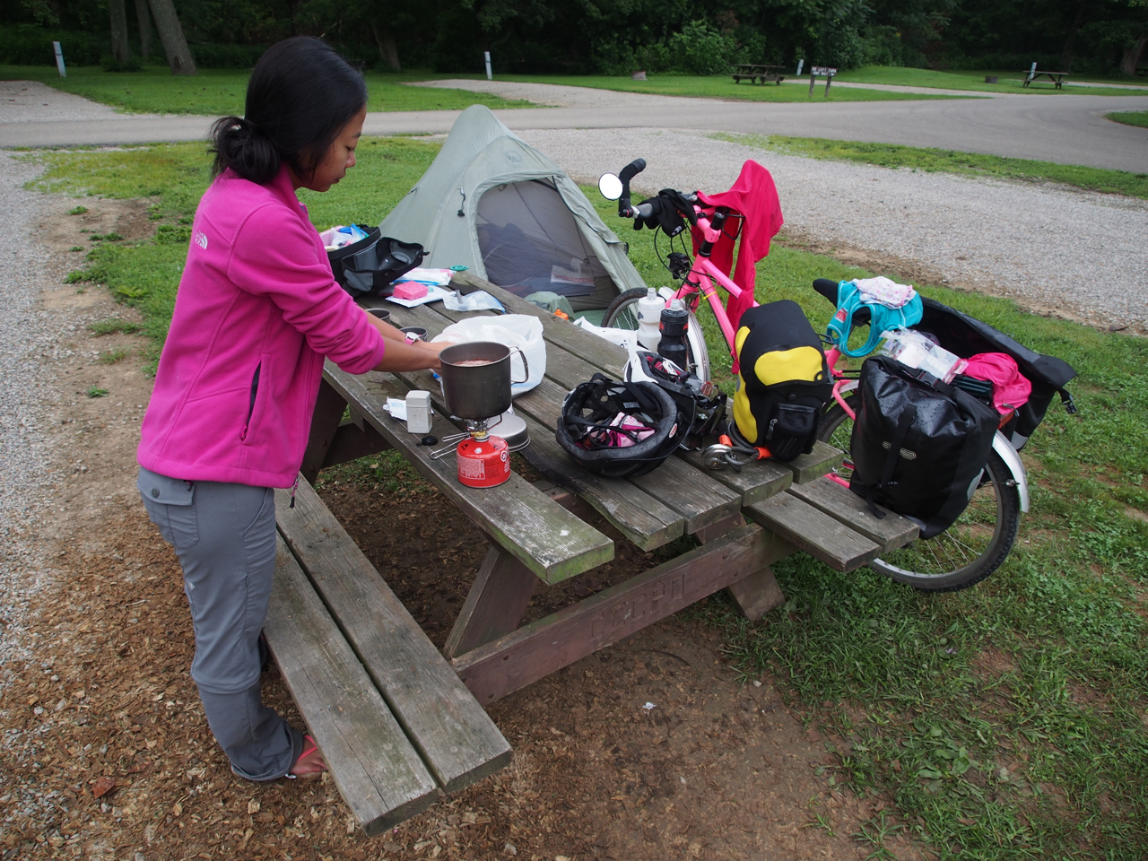
We fell into a routine once we hit the sparsely populated and mostly-flat western region. We’d wake up and ride…

And camp…

And ride…

And camp…

And ride…

And camp…

And ride…

And camp…

Aaaaaaaaand coffee…

And ride…

And camp….

And…thank you very much Kansas!
Statistics:
August 30: Lee’s Summit, MO to Lenexa, KS, 26.16 miles in 2 hours and 43 minutes
August 31: Lenexa, KS to Olathe, KS, 12.25 miles in 1 hour and 16 minutes
September 1: Olathe, KS to Ottawa, KS, 52.83 miles in 5 hours and 23 minutes
September 2: Ottawa, KS to Emporia, KS, 64.34 miles in 6 hours and 18 minutes
September 3: Emporia, KS to Hillsboro, KS, 61.02 miles in 5 hours and 46 minutes
September 4: Hillsboro, KS to Lyons, KS, 61.54 miles in 6 hours and 30 minutes
September 5: Lyons, KS to Rush Center, KS, 63.48 miles in 5 hours and 59 minutes
September 6: Rush Center, KS to Ness City, KS, 33.51 miles in 4 hours 1 minute
September 7: Ness City, KS to Scott City, KS, 57.08 miles in 6 hours and 17 minutes
September 8: Scott City, KS to Tribune, KS, 49.94 miles in 5 hours and 24 minutes
Total miles: 482.15 miles
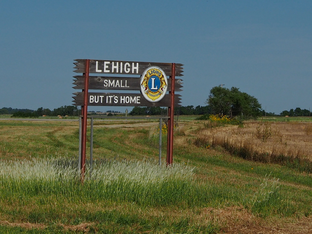
Tags: adventure, adventure cycling, atlas, barren landscape, bike, biking, camping, chihuahua, cinnamon, climb, coffee, continental travel contact tires, corn, couple, cow, cycle touring, cycling, cycling across the united states, cycling across the US, cycling couple, donuts, emporia, eyna, filipino, filipino cyclist, filipino cyclist in the US, fire station, first filipino, flat, flint hills, g. Kansas: Welcoming & Wind Swept, golden doodle, gravel, headwind, heat, hillsboro, honeymoon, kansas, Kansas City, kansas plains, lees summit, lehigh, lenexa, lyons, missouri, ness city, nido, olathe, oletha, ottawa, pastry, paul, paul & eyna, paul and eyna, pink bike, prairie, recumbent, rockies, rocky mountains, rush center, scott city, shitzu, small but it's awesome, snake, sorghum, soybean, starbucks, sunflower state, surly, surly long haul trucker, surly troll, tribute, United States, wind, wind swept
From Franklin, IN we rode northwest to Route 40, which meanders for several hundred miles between Indianapolis and St. Louis. Normally we shy away from larger roads, but Route 40 has wide shoulders and sees very little traffic. Most motorists favoring the higher speed limits and smoother pavement of Interstate 70.
The photos and stories in this post are from the small cities and towns along Route 40 in Western Indiana and Illinois.

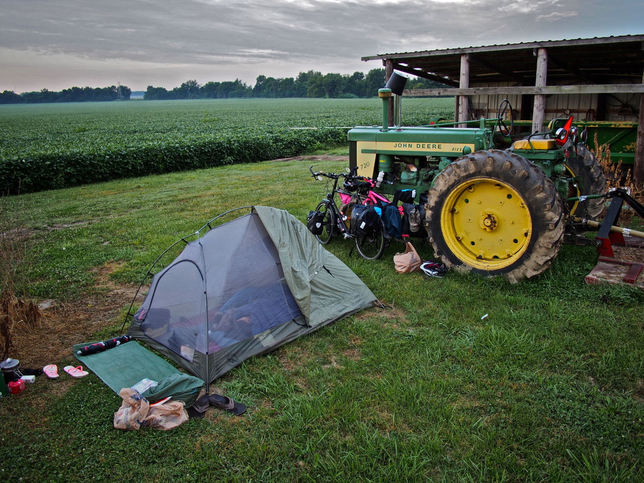
After saying goodbye to Paul’s friend, Dustin, in Franklin, IN we rode about 50 miles northwest to the small town of Stilesville, where we found a place to pitch our tent next to a farmer’s plot of soy beans.

Our steel steeds parked next to a John Deere tractor at our campsite outside Stilesville, IN.

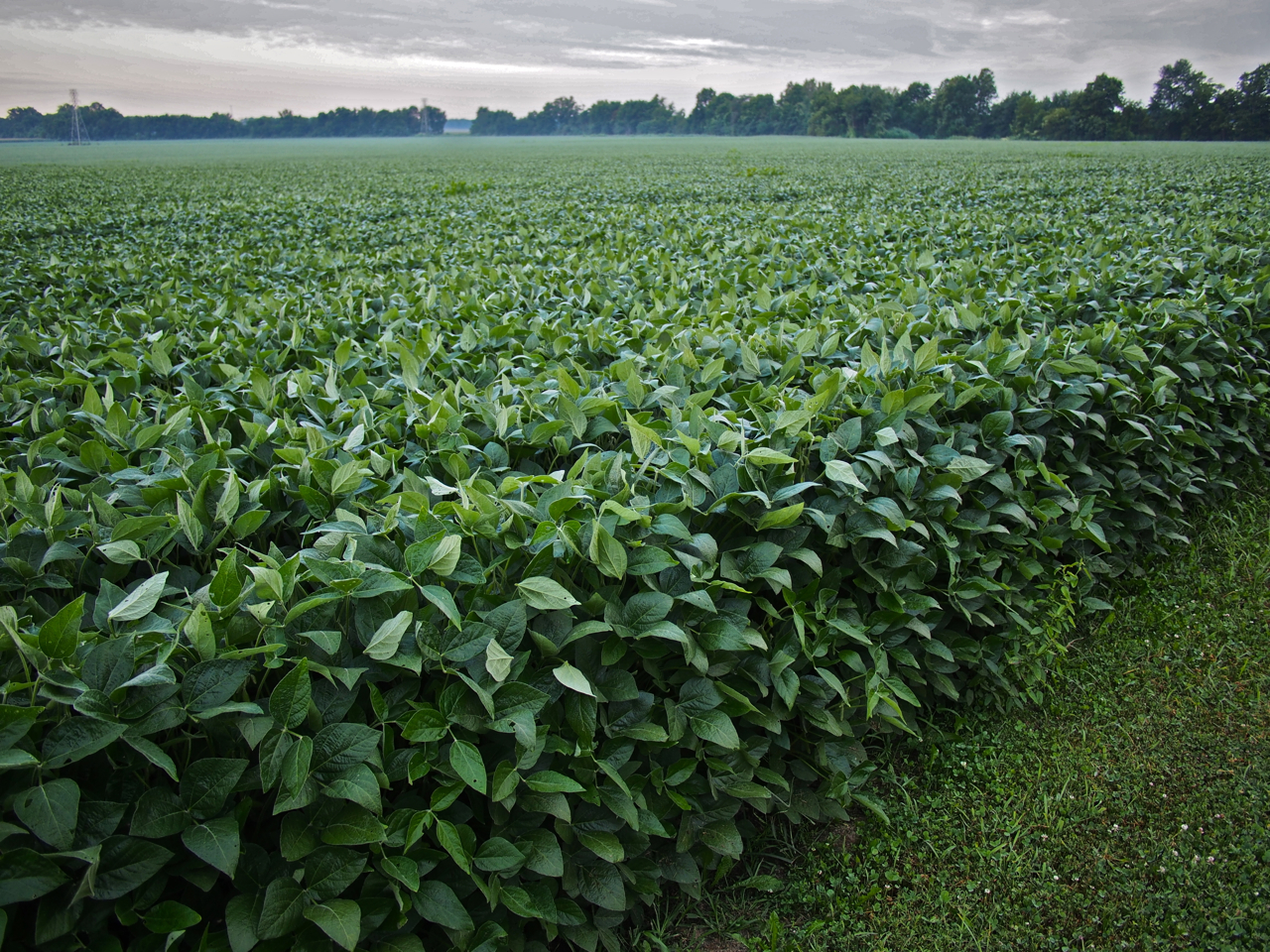
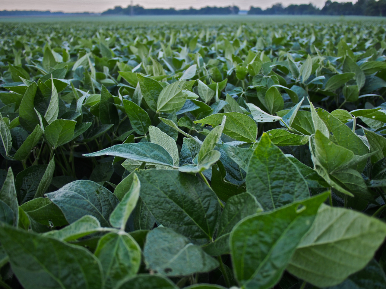
Our campsite outside Stilesville, IN was flanked by a 55 acre plot of soybeans.

Soybeans.

Sunrise at our campsite outside Stilesville, IN

A breakfast of ramen noodles at our campsite outside Stilesville, IN

We did deviate from Route 40 in order to ride a bike path through Terre Haute, IN.

We crossed the Indiana-Illinois border late in the day and found ourselves looking for a place to pitch our tent in the small town of Marshall, IL. A county police officer gave us permission to camp near a storage shed behind his church.

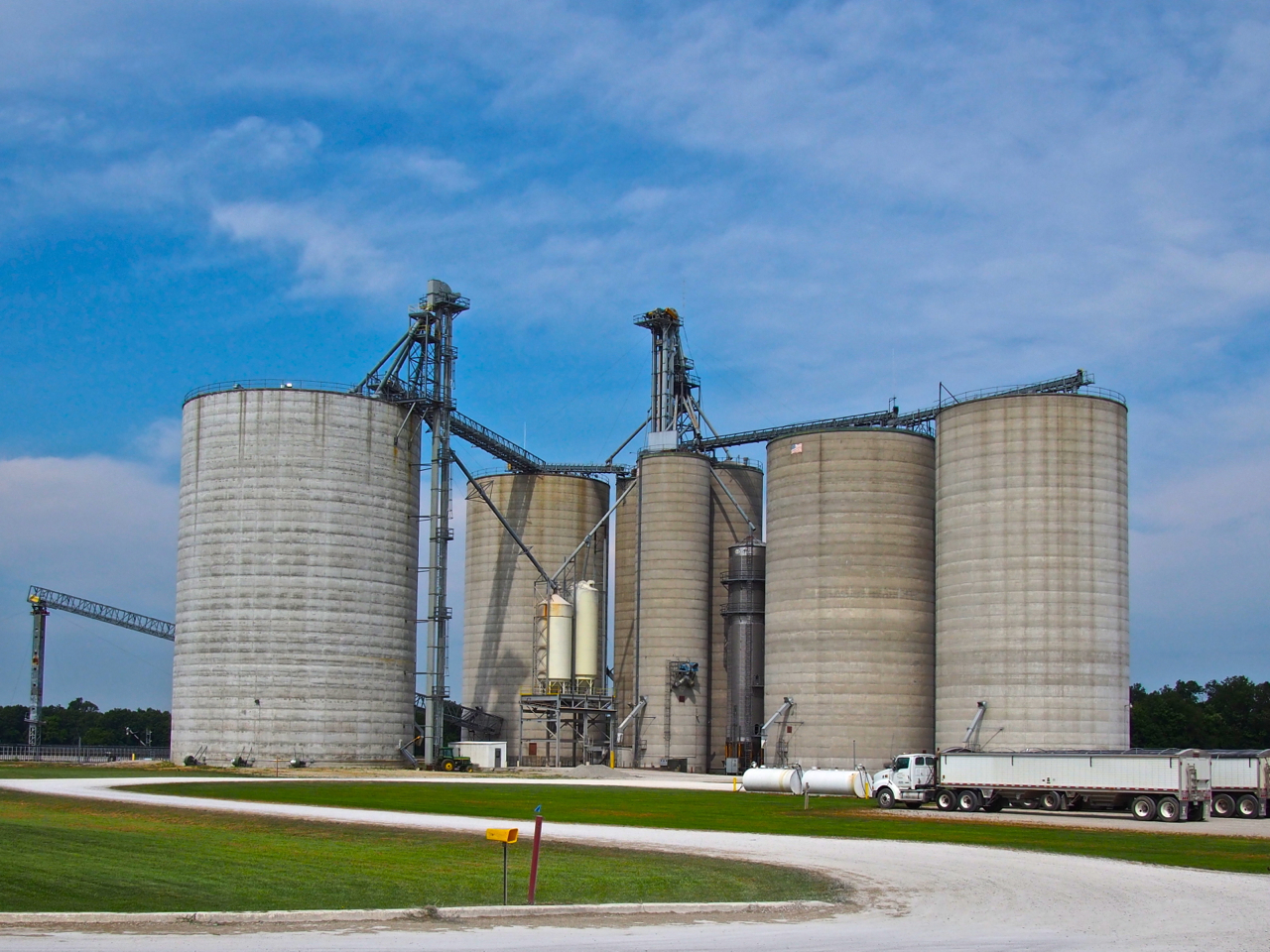
Grain silos along Route 40 in Illinois.

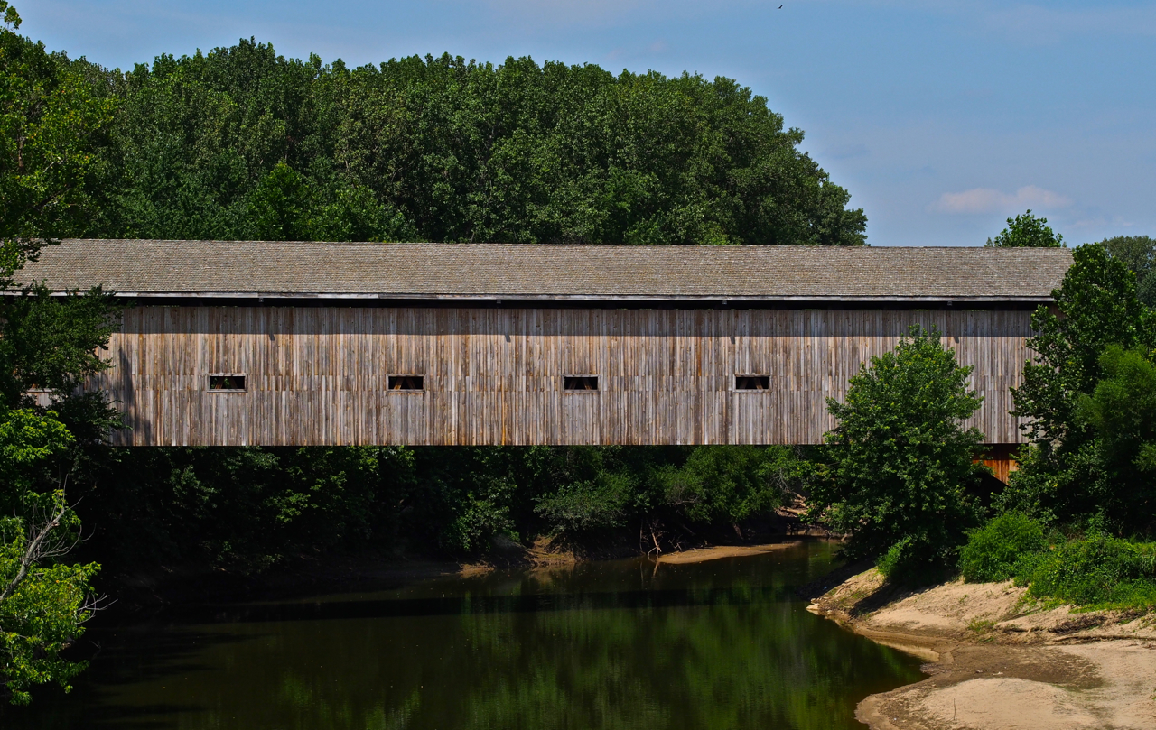
A covered bridge over the Embarras [sic] River in south-central Illinois.

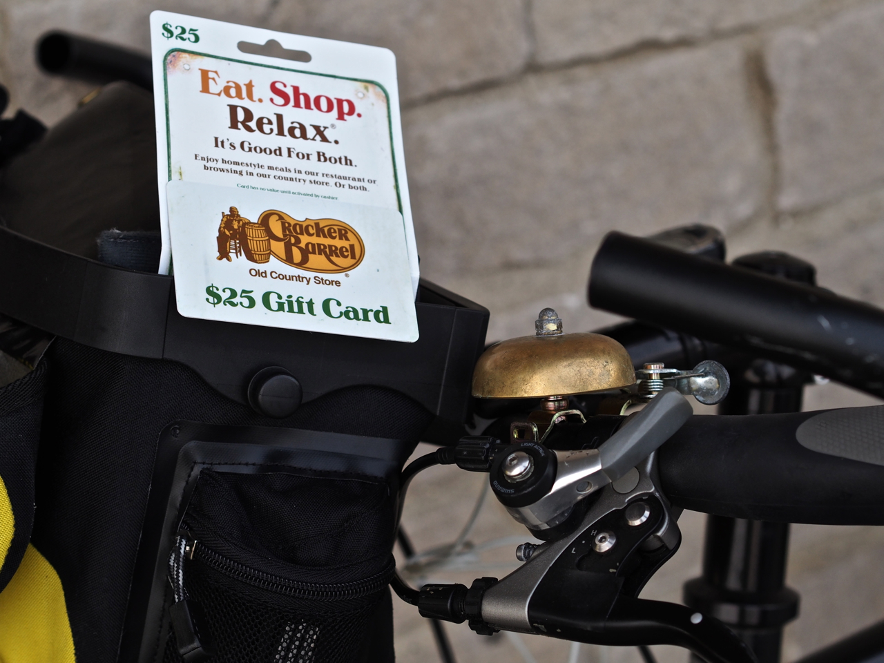
While we were enjoying a pint of Ben and Jerry’s outside a supermarket in Effingham, IL, we were approached by a very friendly and outgoing local, Mike. He chatted with us about our trip for a few minutes and then went on his way. A few minutes later he returned and handed us a $25 gift certificate before driving off again. We were both very pleased to meet Mike and experience such a random act of generosity. When he returned a second time and invited us to spend the night at his home outside of town we quickly accepted. When we arrived at his home we had the pleasure to meet his wife, Star, and their very energetic little Dachshund.

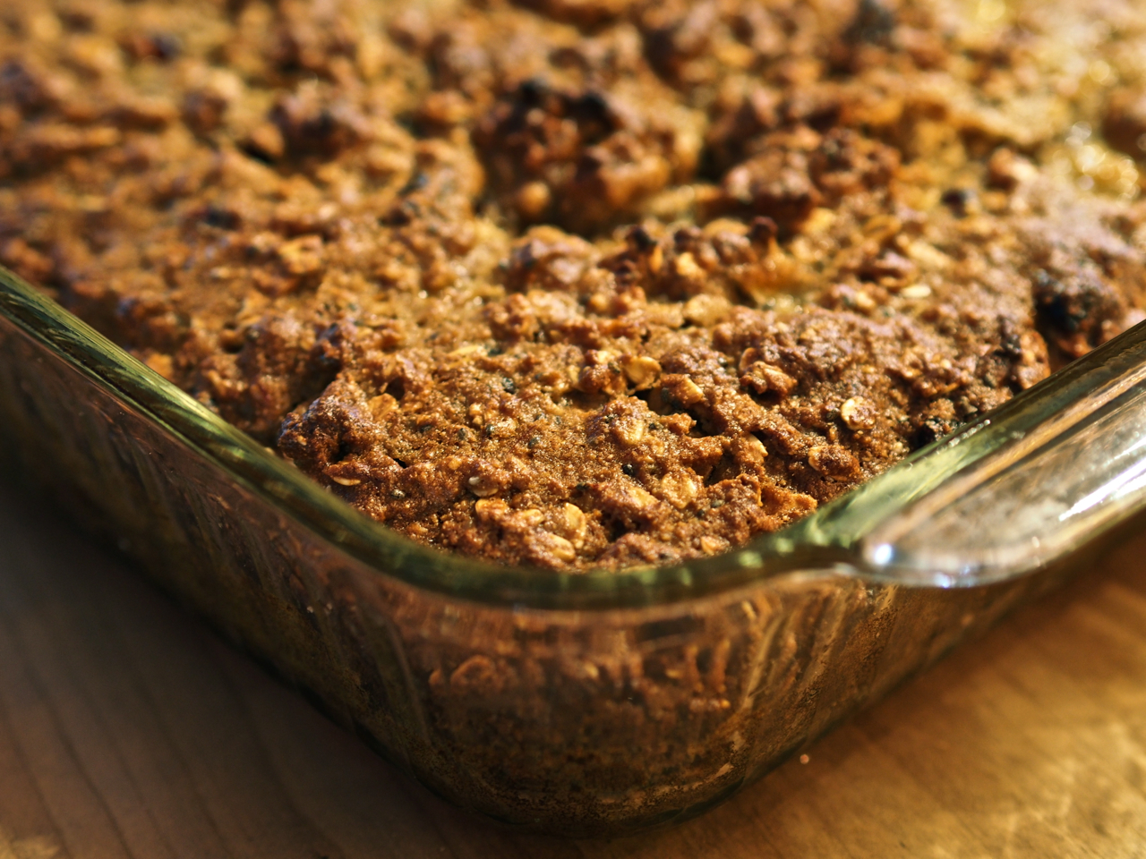
After we arrived at his home, Mike baked us a very delicious, earthy, and wholesome bread/cake/energy bar/pastry thing. We were grateful we had the leftovers the following day when we pulled off under an overpass for a snack break.

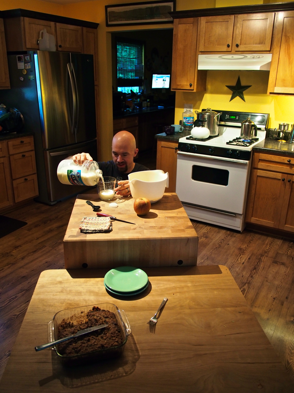
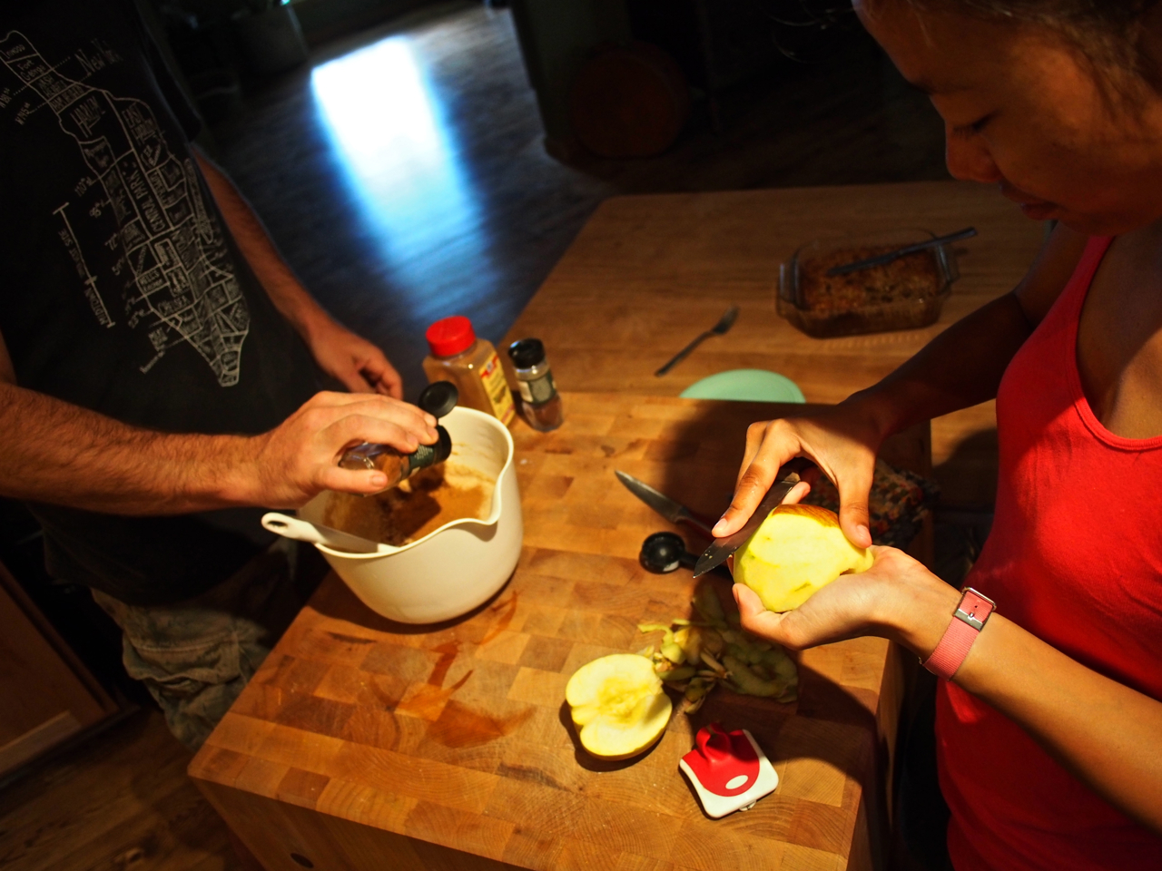
Oh, yeah…and he made us apple-cinnamon waffles, too.

Eyna and Mike prepping the waffle batter.

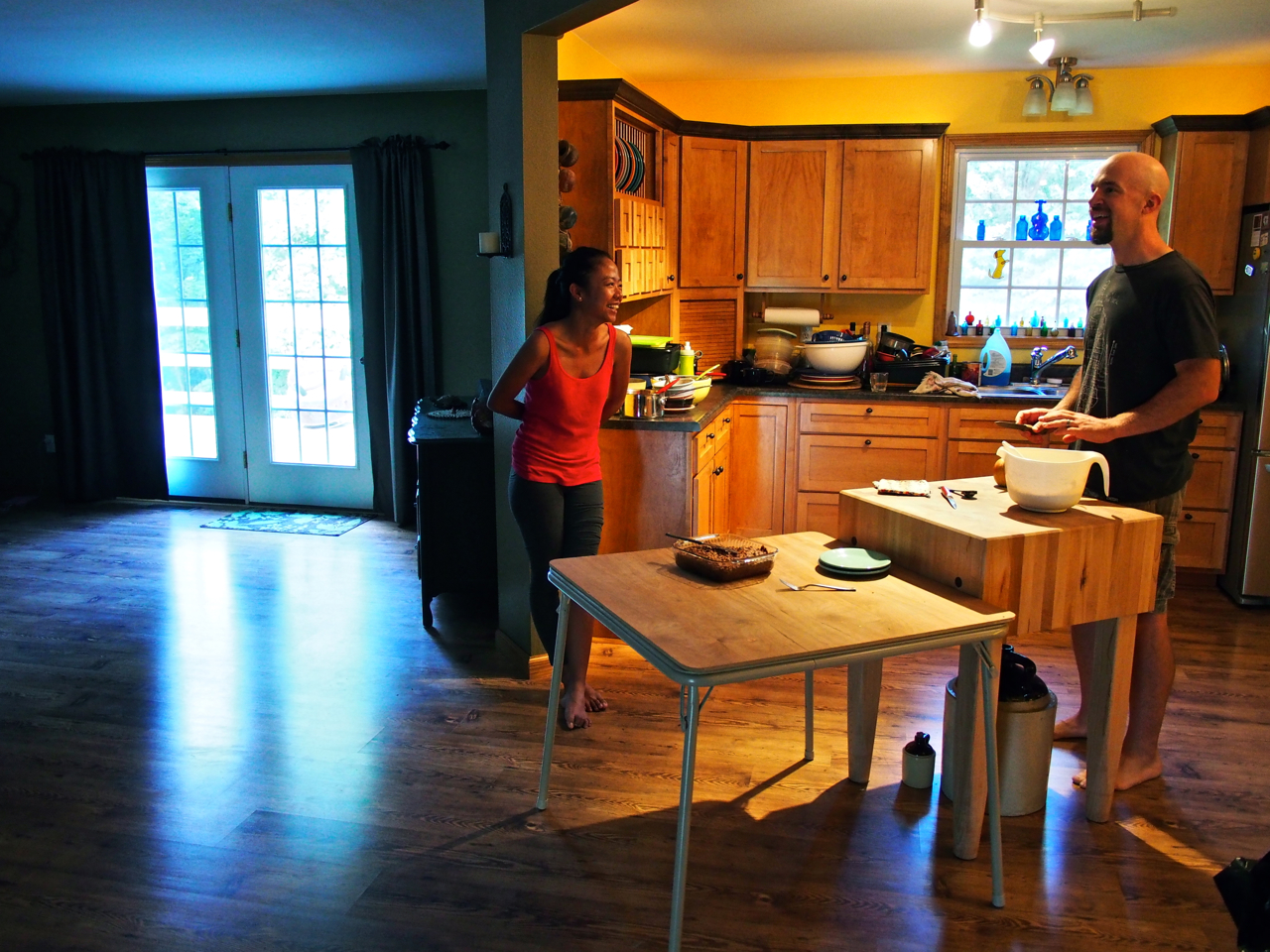
Enjoying the evening in Mike and Star’s lovely home outside Effingham, IL.

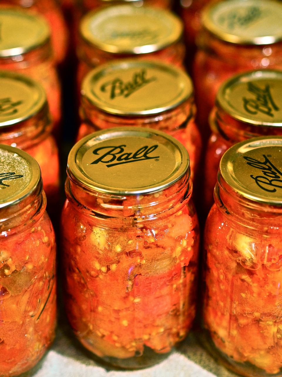
Mike and Star have a lot of interesting projects around their home. The day we arrived they were canning tomatoes from their organic garden.

Recently canned organic tomatoes from Mike and Star’s garden.

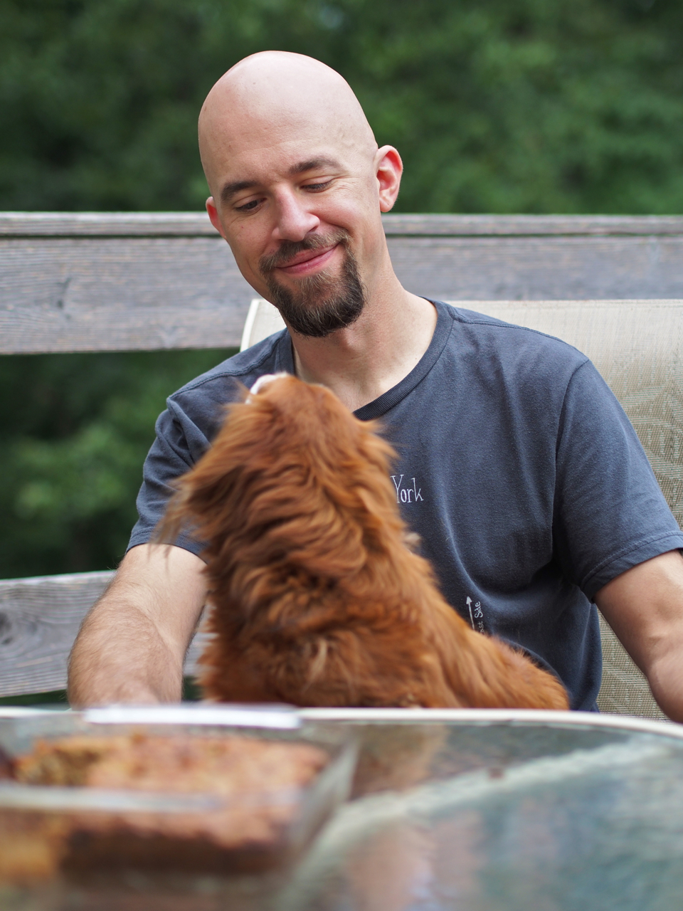
Mike and The Hound.

The Hound

The Hound

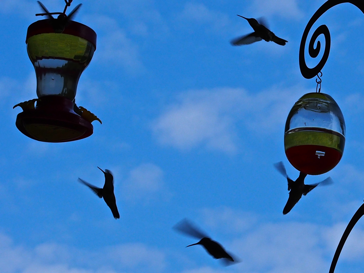
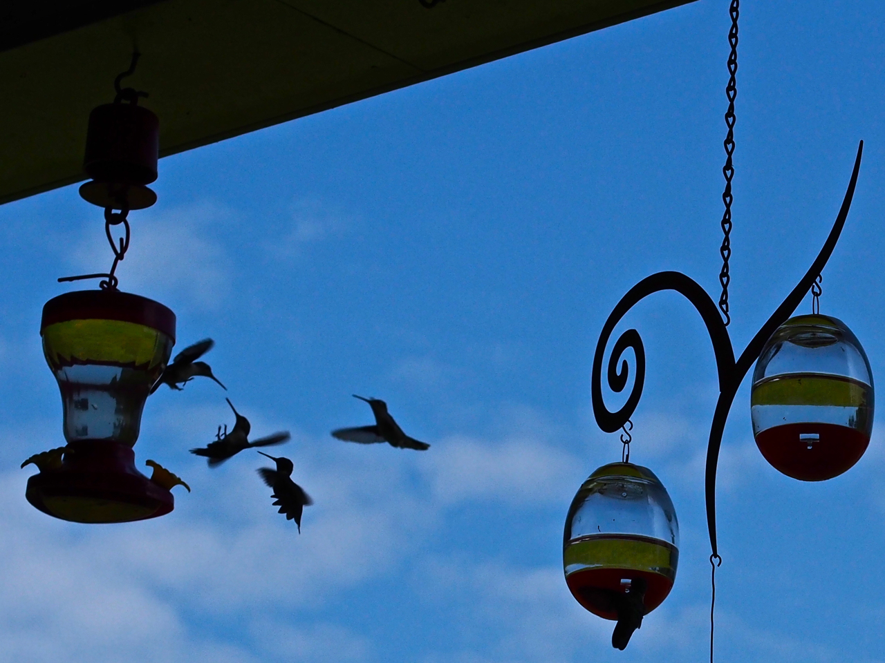
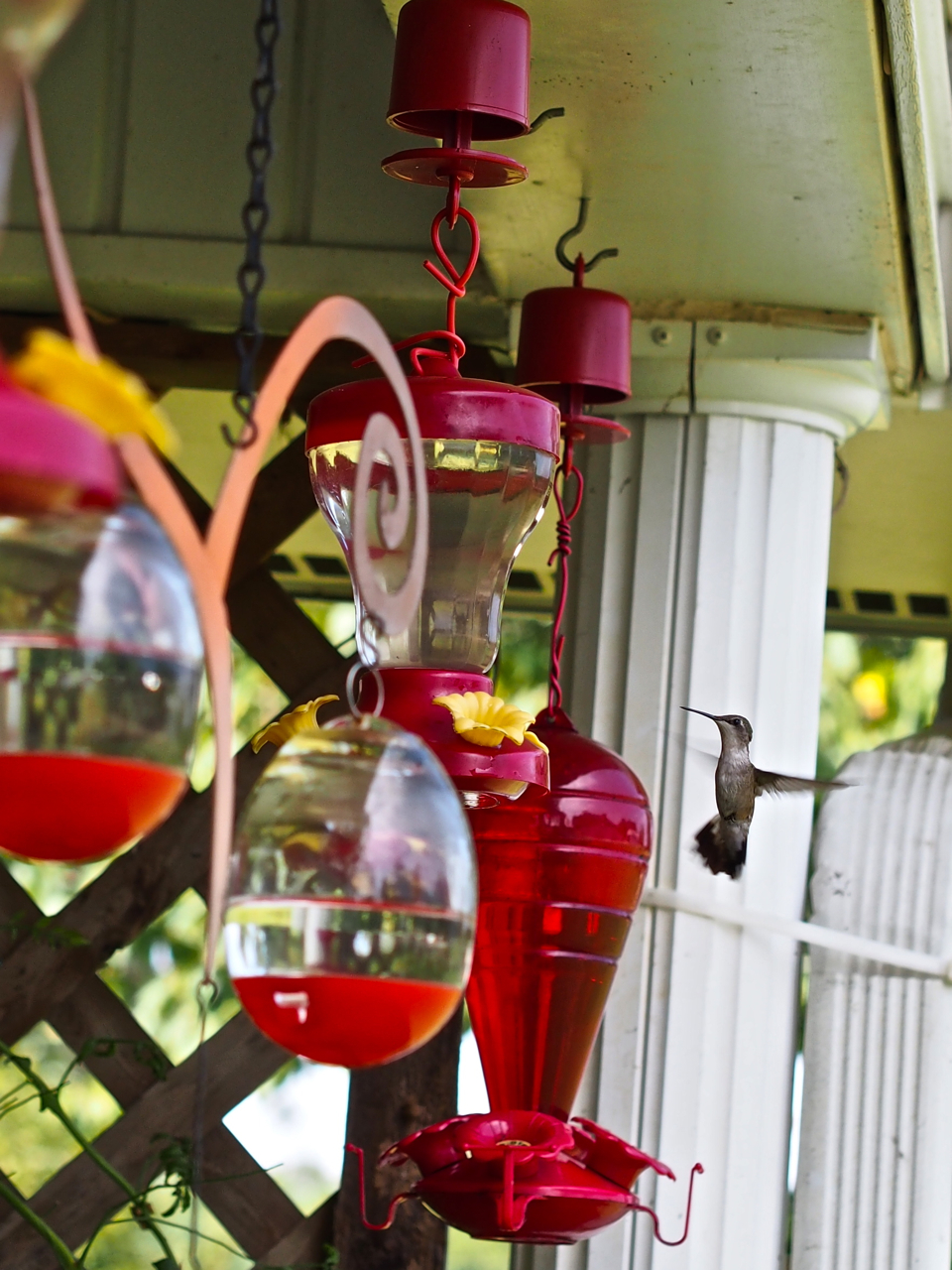
Star’s mother has attracted swarms of hummingbirds to her home by lining her front porch with hummingbird feeders. She only lives a few doors away from Mike and Star, so we all made the short trip see and photograph the feeding frenzy.

Never has a fierce battle been so cute.

Even with a shutter speed of 1/1,000th of a second, their wings are still a bit blurred.

Looking over the buffet…

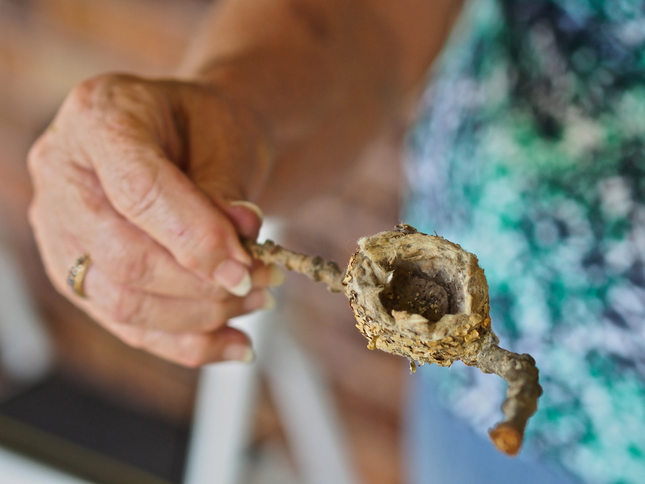
A hummingbird nest that fell out of a nearby tree…

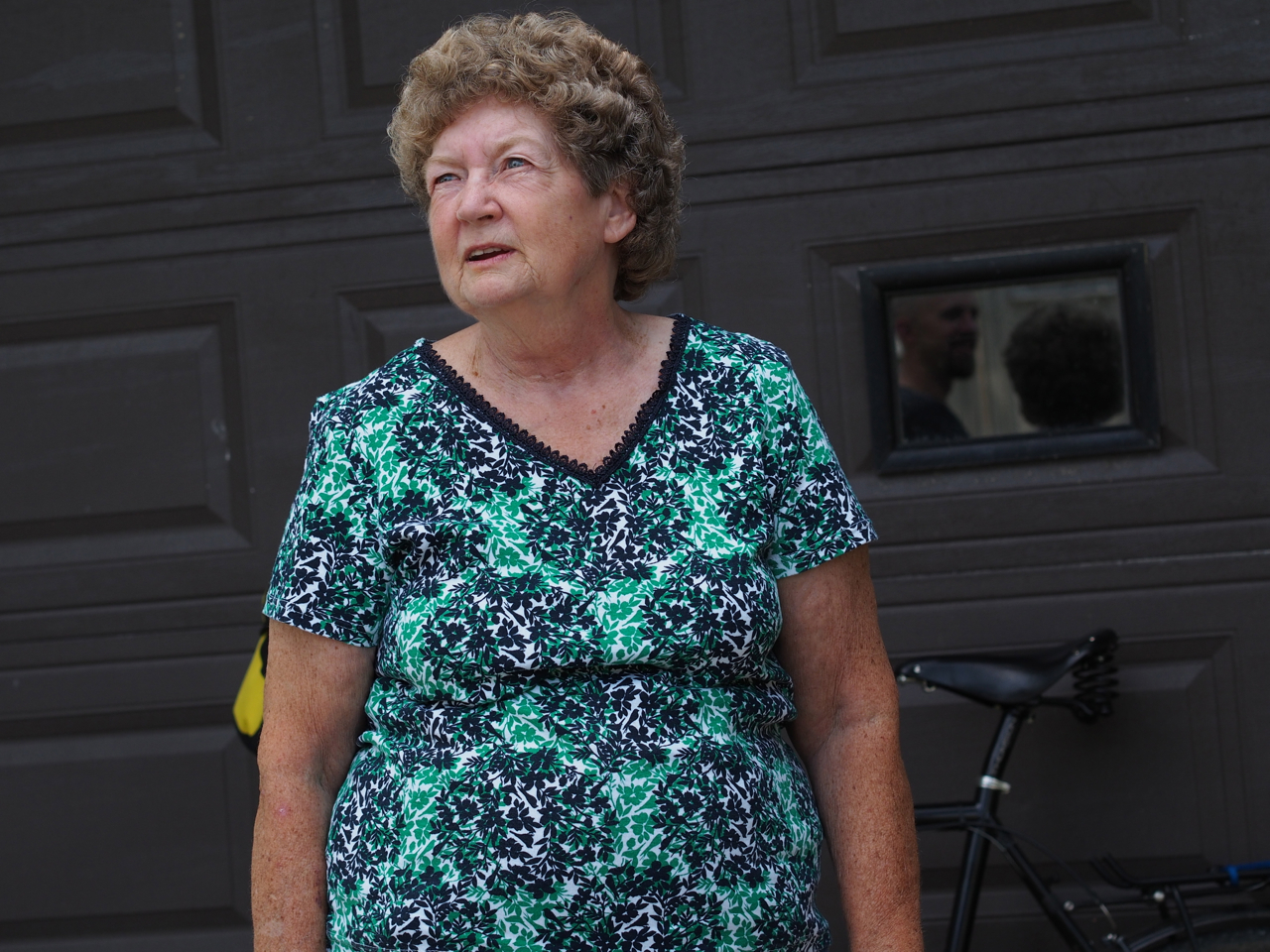
Mother of Hummingbirds.

Mike, Star, and the Mother of Hummingbirds

Our last nights in Illinois were spent in a very peaceful and comfortable apartment that was lent to us by two very generous warmshowers.org hosts, Fred and Patti. Fred and Patti were actually out of town during our stay, but they left us a key so we could let ourselves in. We have been on the receiving end of many kind and generous acts during this trip…

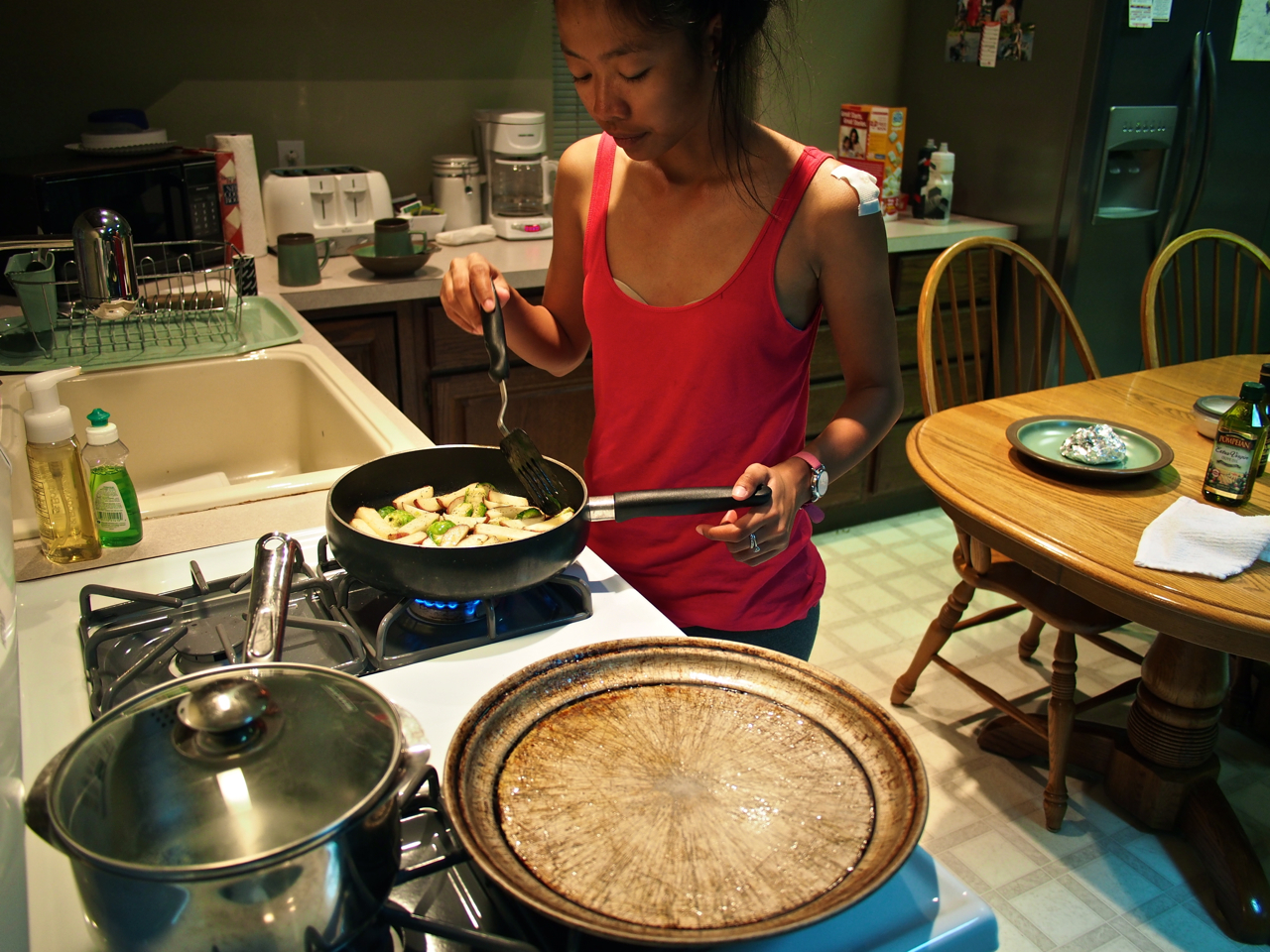
Eyna cooking up another tasty dinner at Fred and Patti’s guest apartment.

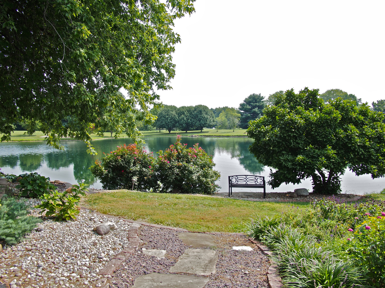
The well landscaped and manicured view from our very comfortable home away from home. Many thanks to Fred and Patti!

The well landscaped and manicured view from our very comfortable home away from home. Many thanks to Fred and Patti!
Statistics:
August 15: Franklin, IN to Stilesville, IN, 39.25 miles in 4 hours and 21 minutes
August 16: Stilesville, IN to Marshall, IL, 63.83 miles in 6 hours and 28 minutes
August 17: Marshall, IL to Effingham, IL, 59.9 miles in 5 hours and 40 minutes
August 18: Effingham, IL to Vandalia, IL, 41.86 miles in 4 hours and 19 minutes
August 19: Vandalia, IL to St. Jacob’s, IL, 46.78 miles in 4 hours and 51 minutes
Total miles: 251.62 miles
Tags: adventure cycling, apartment, bell, ben and jerry's, bird's nest, black bike, bridge, camping, church, covered bridge, cracker barrel, crash, cycle touring, cycling, dachshund, dog, effingham, embarras river, energy bar, eyna, farm, farmer, filipino, filipino cyclist, filipino cyclist in the US, first filipino, franklin, gift certificate, grain silos, hummingbird, hummingbird feeder, hummingbird nest, hummingbirds, i-70, illinois, indiana, indianapolis, john deere, lake, marshall, milk, nest, oatmeal, organic garden, paul, paul & eyna, pink bike, ramen noodles, route 40, silo, soy bean, soybeans, st. jacob, St. Louis, stilesville, storage shed, surly, surly long haul trucker, surly troll, tent, terre haute, tomato, United States, vandalia, waffles, warmshowers, western indiana
From the Columbus, OH suburb of Westerville, we rode 221.44 miles over five days to the small town of Franklin, IN where we met an old friend. We’ve spent the last few days lounging around his place near Bloomington, IN. Soon we will return to Franklin and then continue pedaling west. It will be good to get back on the road after several days of comfortable accommodations, fresh food, and warm showers.
One noteworthy event from our trip that we failed to capture images of took place in Rushville, IN. We were having a picnic on a bench in front of a supermarket, occasionally chatting with passersby, when one of them, Sarah, invited us into her home, which was only a half-mile away. We were originally planning on continuing another 20 miles down the road, but we decided to take advantage of the opportunity to get to know some locals and spend a bit of time in a small Indiana town. That was definitely the right decision to make…we had a great time in Rushville that evening.
We will add another post from St. Louis, MO. In the mean time, here are a few photos from the route between central Ohio and central Indiana…

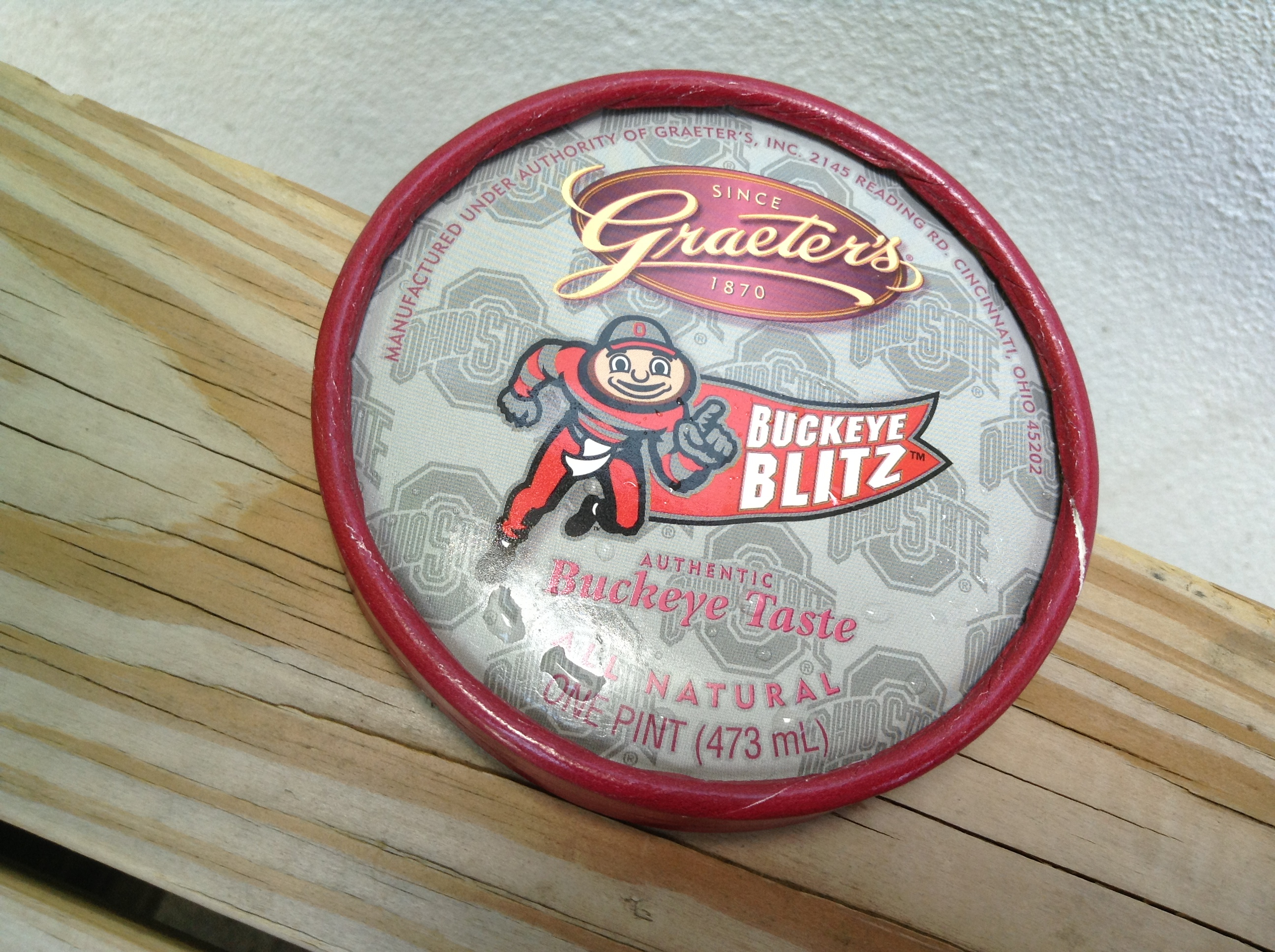
Ice cream break in Dublin, Ohio. Graeter’s “Buckeye” ice cream is a peanut butter and chocolate combo that can only be found in the Buckeye state.

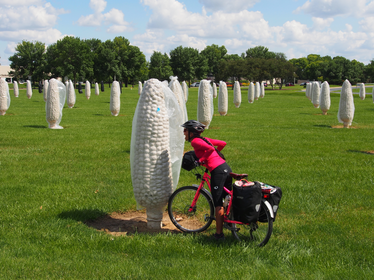
Eyna has no qualms about eating genetically modified crops. Here she is trying to take a bite out of her favorite summertime staple: sweet corn. Dublin, Ohio

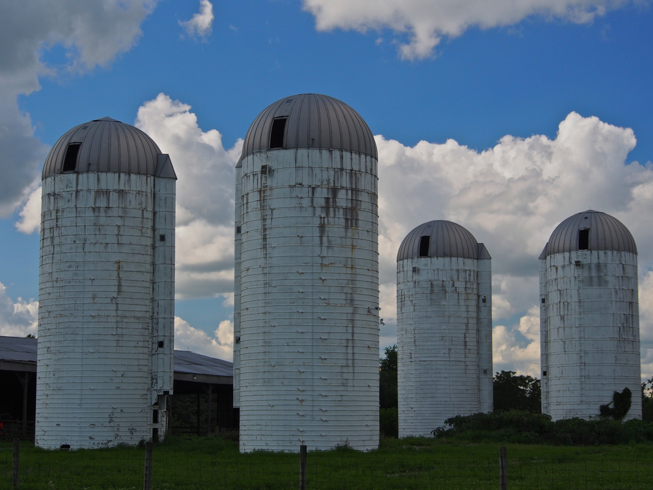
Silos along Prince-Hilliards Rd, Plain City, Ohio

Stray llama. Prince-Hilliards Rd, Plain City, Ohio

This is what happens when a farmer with a fleet of Power Wheels decides to get creative…

In search of a bike trail. Morgan Rd, West Jefferson, Ohio


Following the Adventure Cycling Association’s “Underground Railroad” route for a few miles until we connected with one of the many bike paths in the Columbus-Cincinnati-Dayton area.

When we arrive in a small town and we don’t have a place to stay, we ask the local police department to recommend a safe and quiet spot where we can pitch our tent. They know the towns inside and out, and their recommendations have been pretty reliable. We’ve noticed that they usually send a cruiser by our camp a few times during the course of the night to check on us, too. Here we are approaching the station in London, Ohio.

Camping in Madison County Fairgrounds. London, Ohio

Camping in the Madison County Fairgrounds. London, Ohio

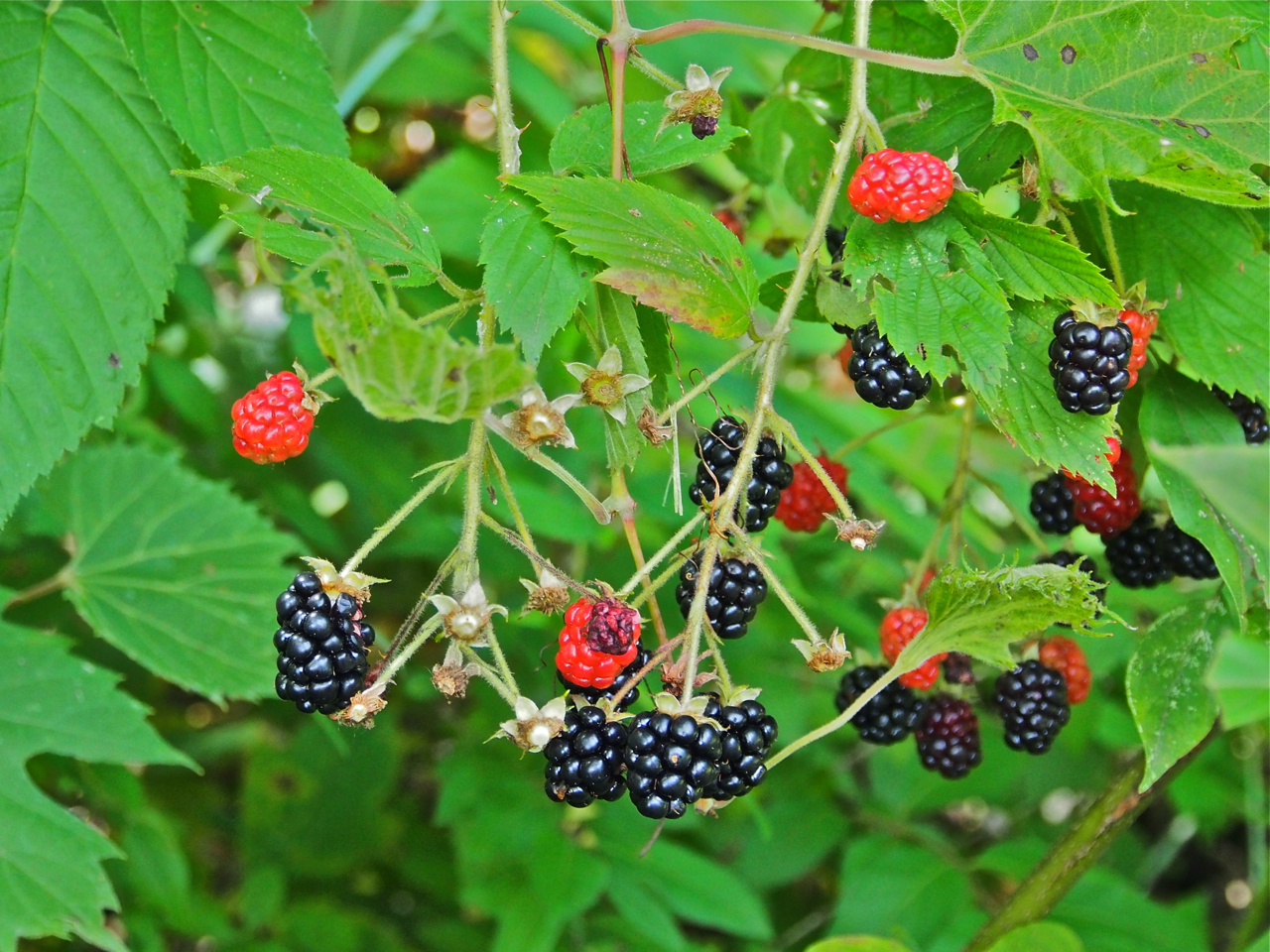
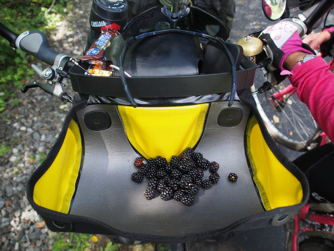
Wild blackberries along the bike trail near London, Ohio

Wild blackberries along the bike trail near London, Ohio

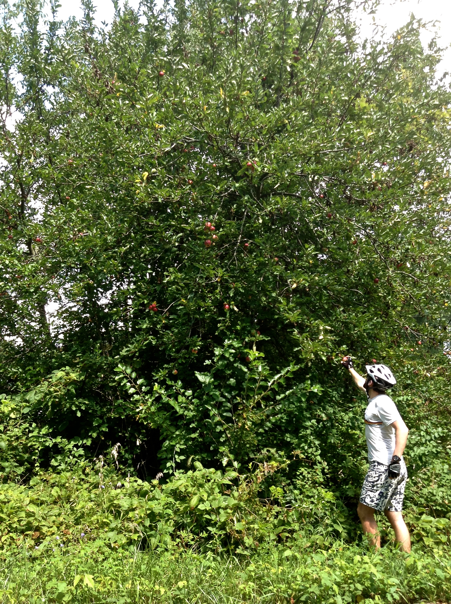
Picking wild apples along the bike path near London, Ohio

The bike paths in Western and Central Ohio are clean, smooth, and mostly flat. This scene is from a trail near South Charleston, Ohio

Along the bike path in Cedarville, Ohio

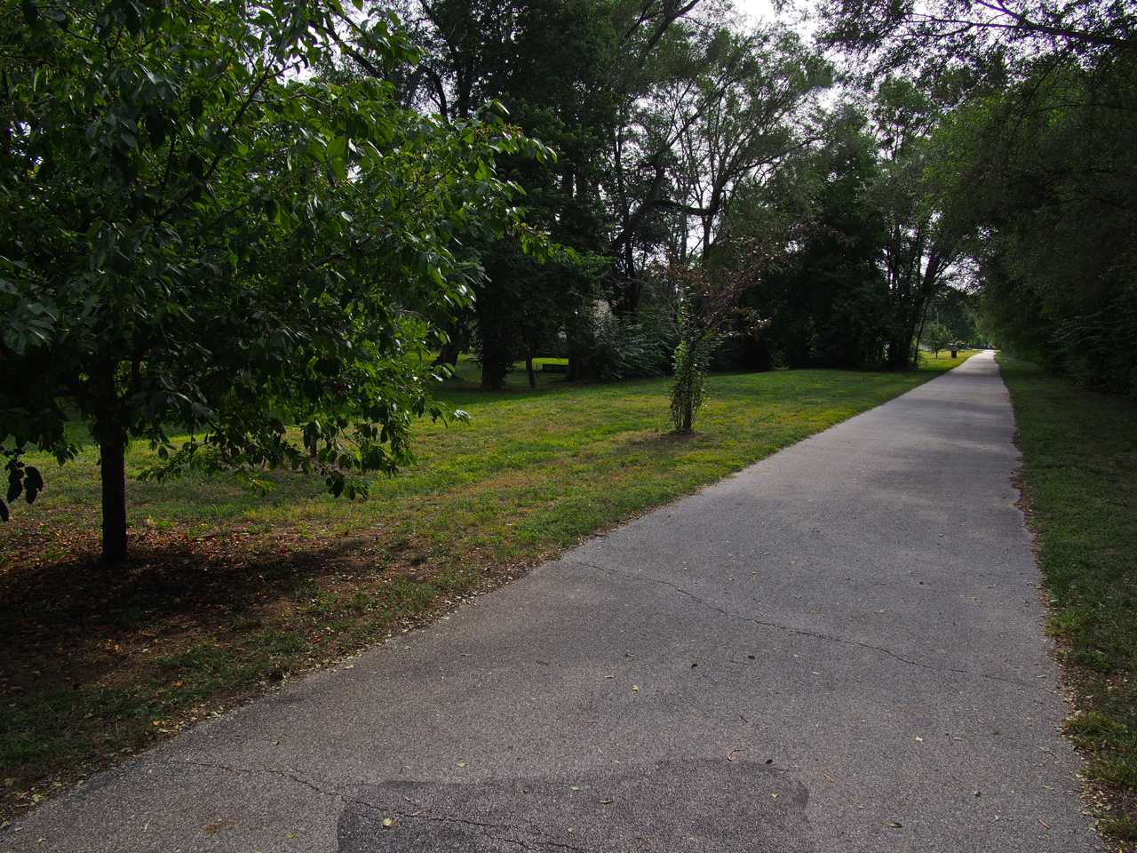
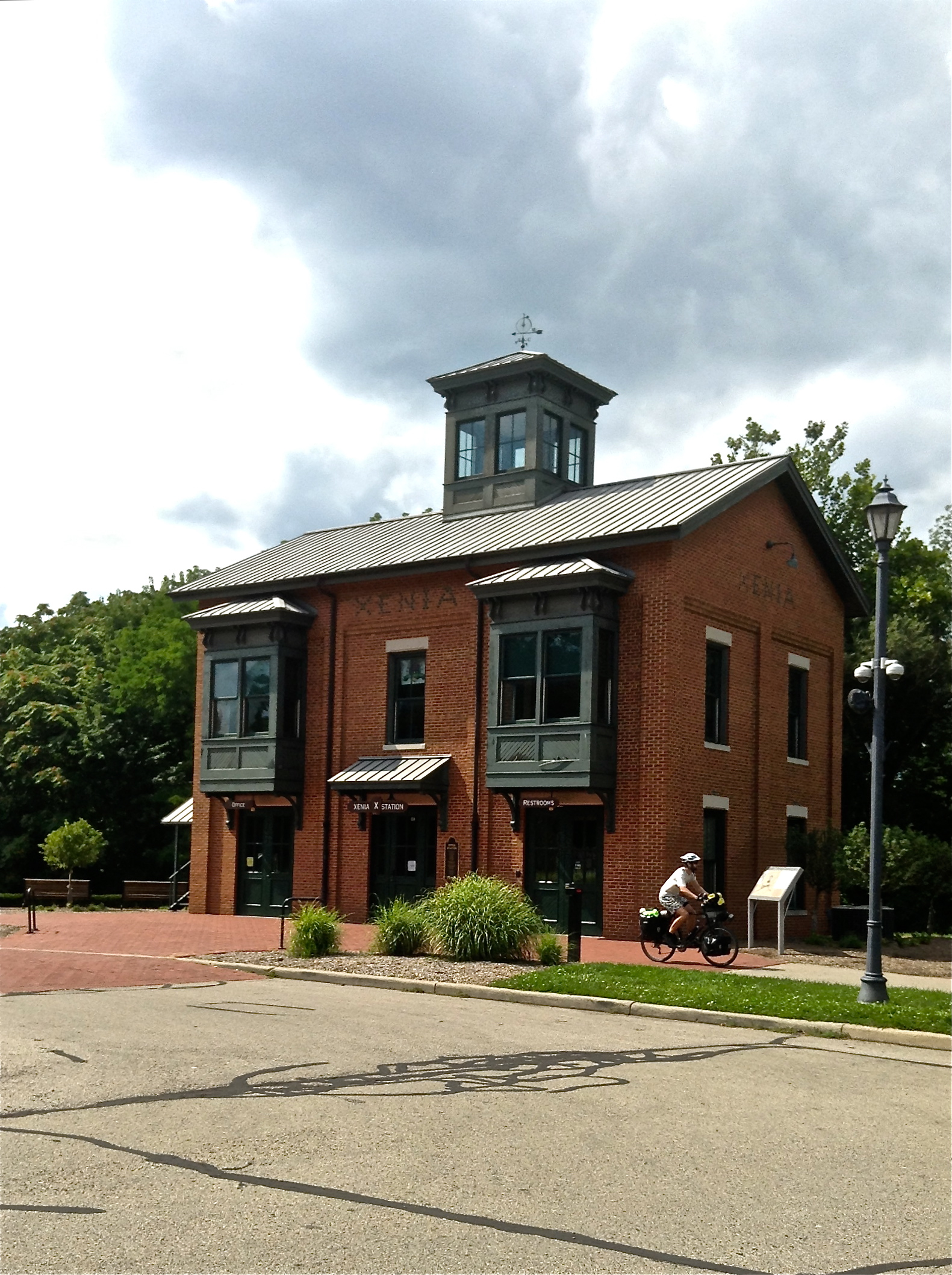
Xenia, Ohio is a crossroads for several longish bike paths. From here, a cyclist can travel northwest to Dayton, north to Springfield, east to Columbus, or southwest to Cincinnati along well-made, well-maintained, and traffic-free bike paths.

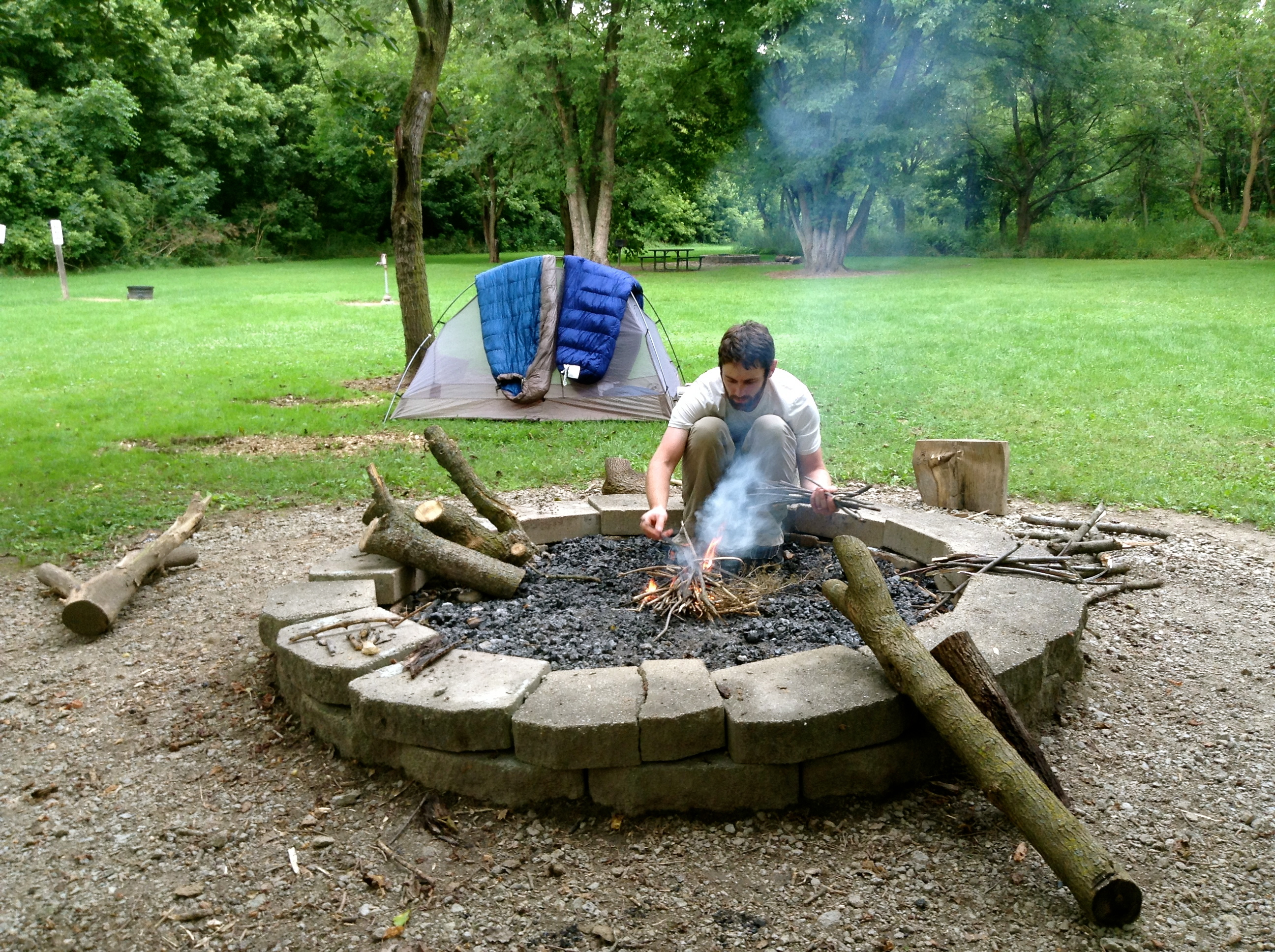
Building a campfire at the very clean and very free Beaver Creek State Park campsite. The site is stocked with firewood and only a hundred yards off the Xenia-Dayton bike path. The bathroom in the adjacent park is sponge-bath-worthy.

Building a campfire at the very clean and very free Beaver Creek State Park campsite. The site is stocked with firewood and only a hundred yards off the Xenia-Dayton bike path. The bathroom in the adjacent park is sponge-bath-worthy.

The very clean and very free Beaver Creek State Park campsite. The site is stocked with firewood and only a hundred yards off the Xenia-Dayton bike path. The bathroom in the adjacent park is prime sponge-bath territory.

Approaching Dayton, Ohio. FYI: the google maps bicycle directions heading west from Dayton will take cyclists through the heart of Dayton’s gangland territory. Police recommend following 3rd street west from downtown and past the National Cemetery before turning south/southwest. That is what we did…

This smelly stretch of road was the final resting place of a very large vulture (on left side of road in background) and a festering dog carcass (in the grass to the right). Near Eaton, Ohio.

Approaching the Ohio-Indiana border. Coastal folks beware: the mid-west is much more hilly than you would expect.

Riding along State Line Rd. Ohio on the left, Indiana on the right

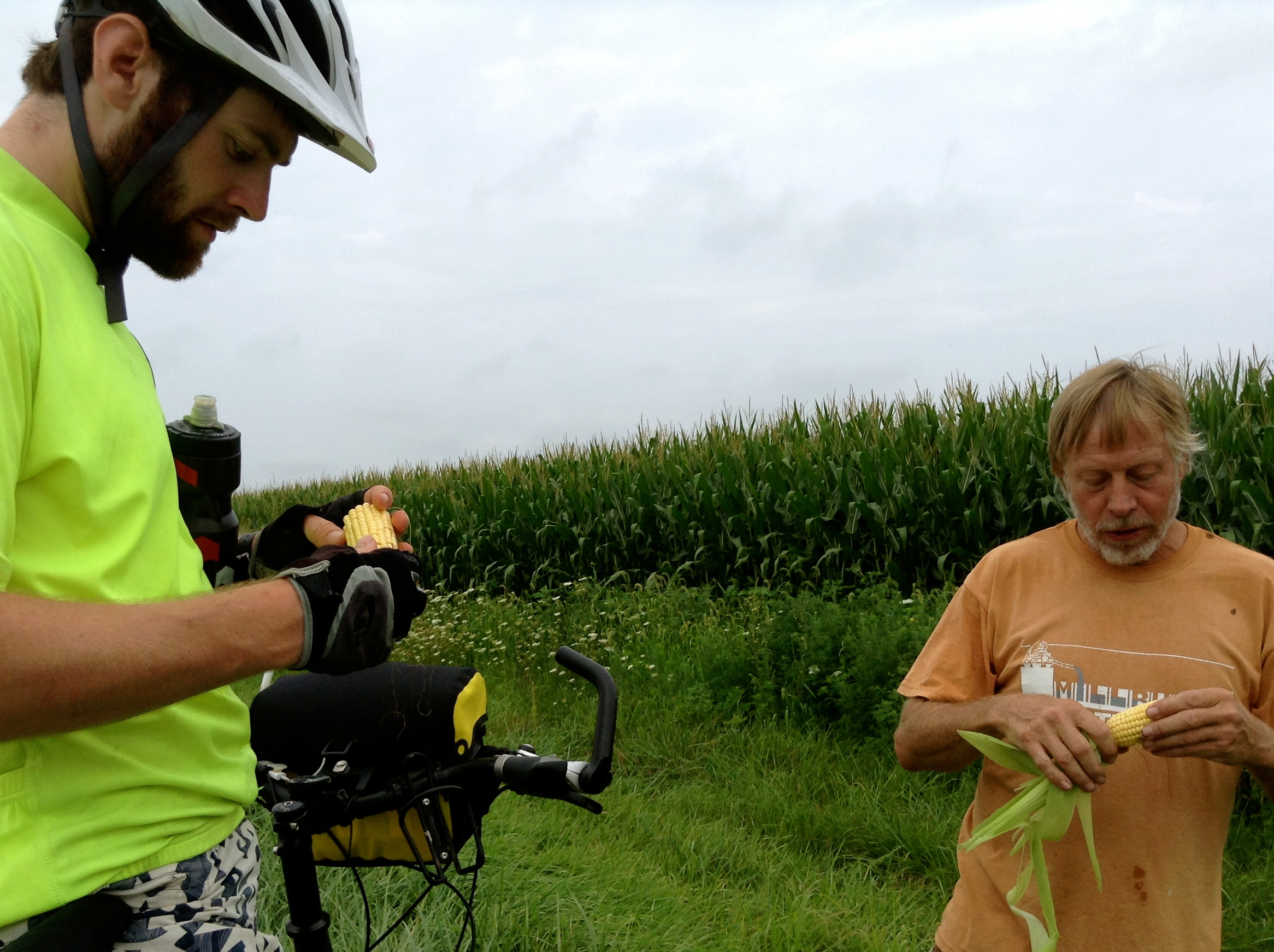
Enjoying an ear of raw feed corn on the side of the road with a local farmer outside Rushville, Indiana.

Outside Rushville, Indiana

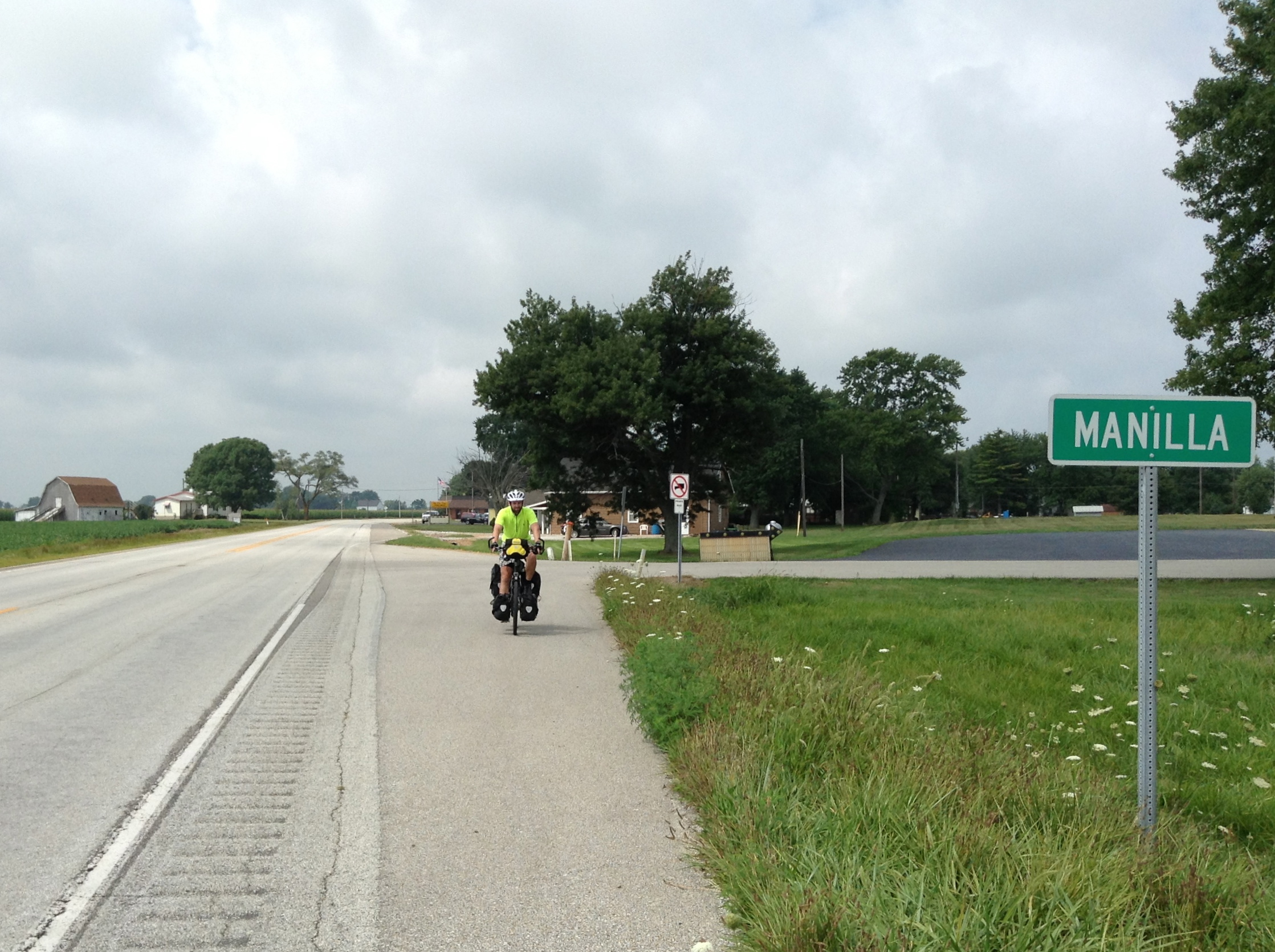
Manilla…Indiana

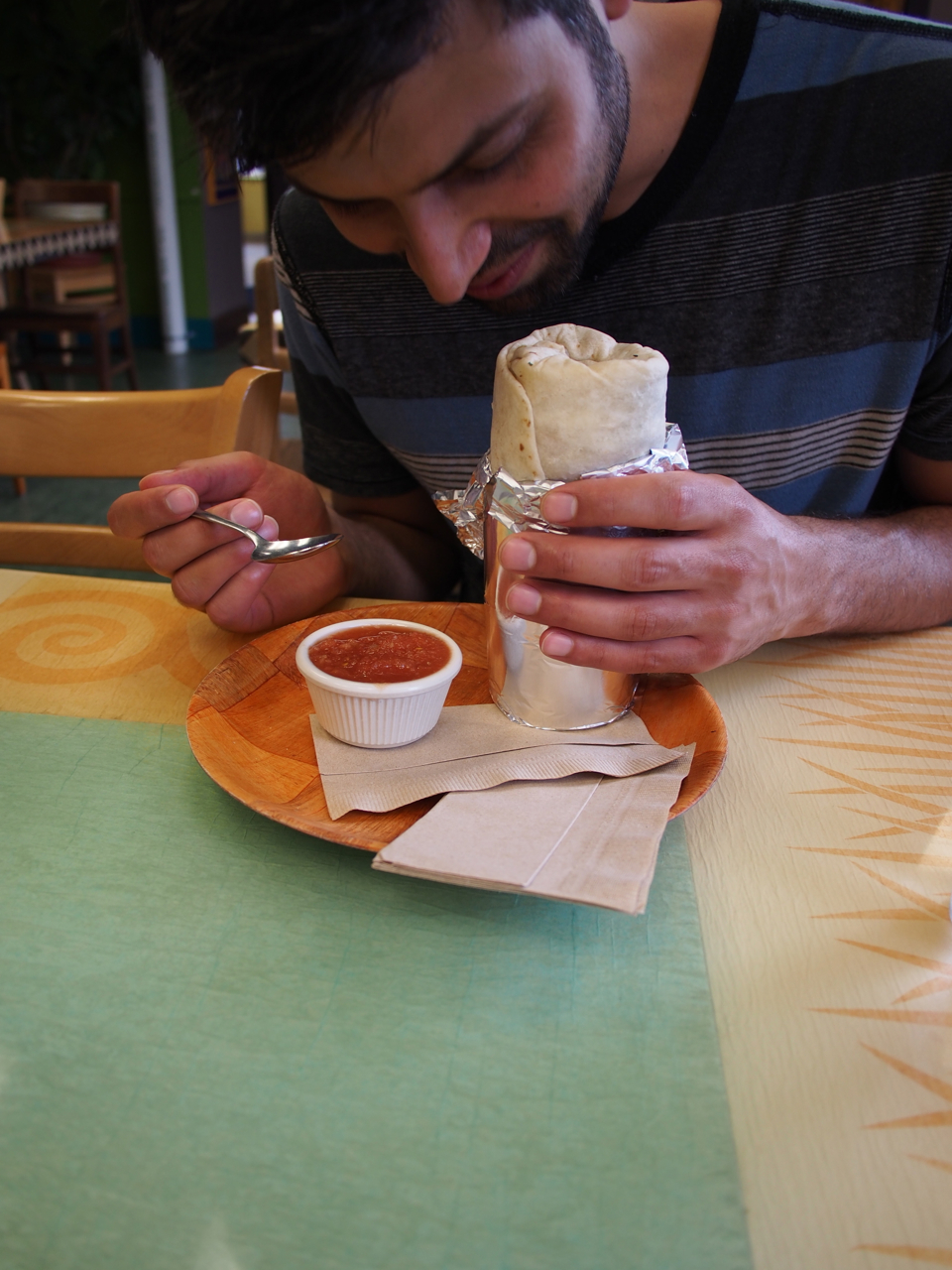
Hanging out with Lord Beasley and his burrito in Bloomington, Indiana

Lord Beasley sniffing his burrito. Bloomington, Indiana

Burrito in a bowl. Adulterating the guacamole with sour cream is a brilliant cost-cutting measure. Bloomington’s burrito peddlers are an unscrupulous bunch.
Statistics:
August 4: Westerville, OH to Madison County Fairgrounds, London, OH, 46.26 miles in 4 hours and 58 minutes
August 5: Madison County Fairgrounds, London, OH to Beaver Creek State Park, OH, 40.58 miles in 3 hours and 58 minutes
August 6: Beaver Creek State Park, OH to White Water Memorial State Park, IN, 66.49 miles in 7 hours and 39 minutes
August 7: White Water Memorial State Park, IN to Rushville, IN, 33.08 miles in 3 hours and 50 minutes
August 8: Rushville, IN to Franklin, IN, 35.03 miles in 3 hours and 46 minutes
Total miles: 221.44 miles
Tags: adventure cycling, apples, Beaver Creek State Park, bike, bike trail, black bike, blackberries, burritos, camp fire, campground, camping, corn, dayton, eastern indiana, eyna, fairgrounds, graeters, indiana, llama, london police, manilla, ohio, paul, paul & eyna, pink and black bike, pink bike, rushville, Rushville Indiana, silo, St. Louis, Twitter, Vimeo, western ohio, Westerville Ohio, White Water Memorial State Park, wild berries, xenia, YouTube
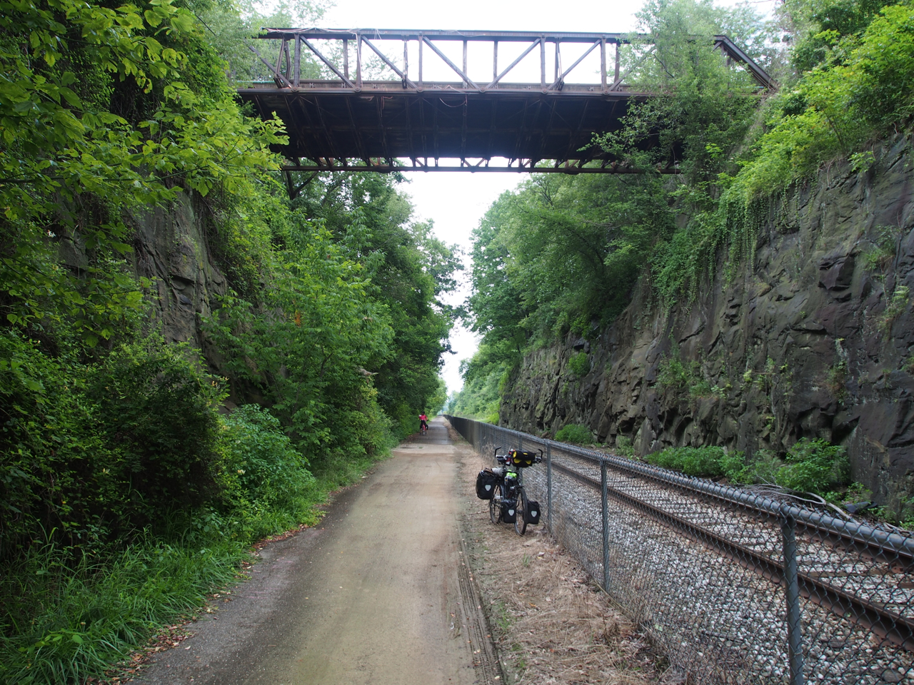
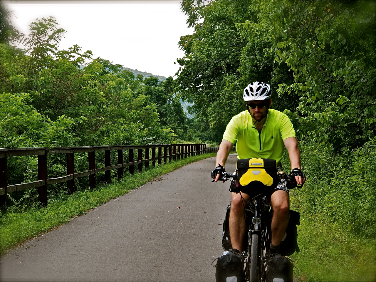
Between Rockville, MD and Pittsburgh, Eyna and I had enjoyed the comfort and convenience of riding on relatively smooth, flat, and traffic-free bicycling paths. After Pittsburgh, however, we only had 29-miles on the Panhandle Trail before we would be deposited on the steep and narrow roadways of the West Virginia panhandle and Eastern Ohio.
At the end of the day we found ourselves in Steubenville, OH, which is easily one of the least appealing towns I have ever laid eyes on. It is a post-apocalyptic scene: rust-encrusted, crumbling, deserted. Don’t visit Steubenville. Go out of your way to avoid it.
West of Steubenville, we followed secondary roads to the town of Jewett where we connected with the Connotton Trail bike path. We camped out next to the trail that evening…technically illegally, but with the permission of the local police station.
Our third day out of Pittsburgh led us to Lake Park in Coshocton, OH where there is an apparently free campsite.
On our fourth day we had the pleasure to be hosted by very generous and helpful warmshowers.org hosts Diana and Linda in Newark, OH.

Replacing a spoke on my rear wheel before heading west from Pittsburgh.

Unfortunately, we didn’t make it very far. When I replaced the broken spoke I accidentally left a tire lever inside the tire and it gave me a flat less than 6 miles down the road.

On the Panhandle Trail west of Pittsburgh.

Eastern Ohio Real Estate

Eastern Ohio Real Estate

Having lunch under a bridge along Route 22

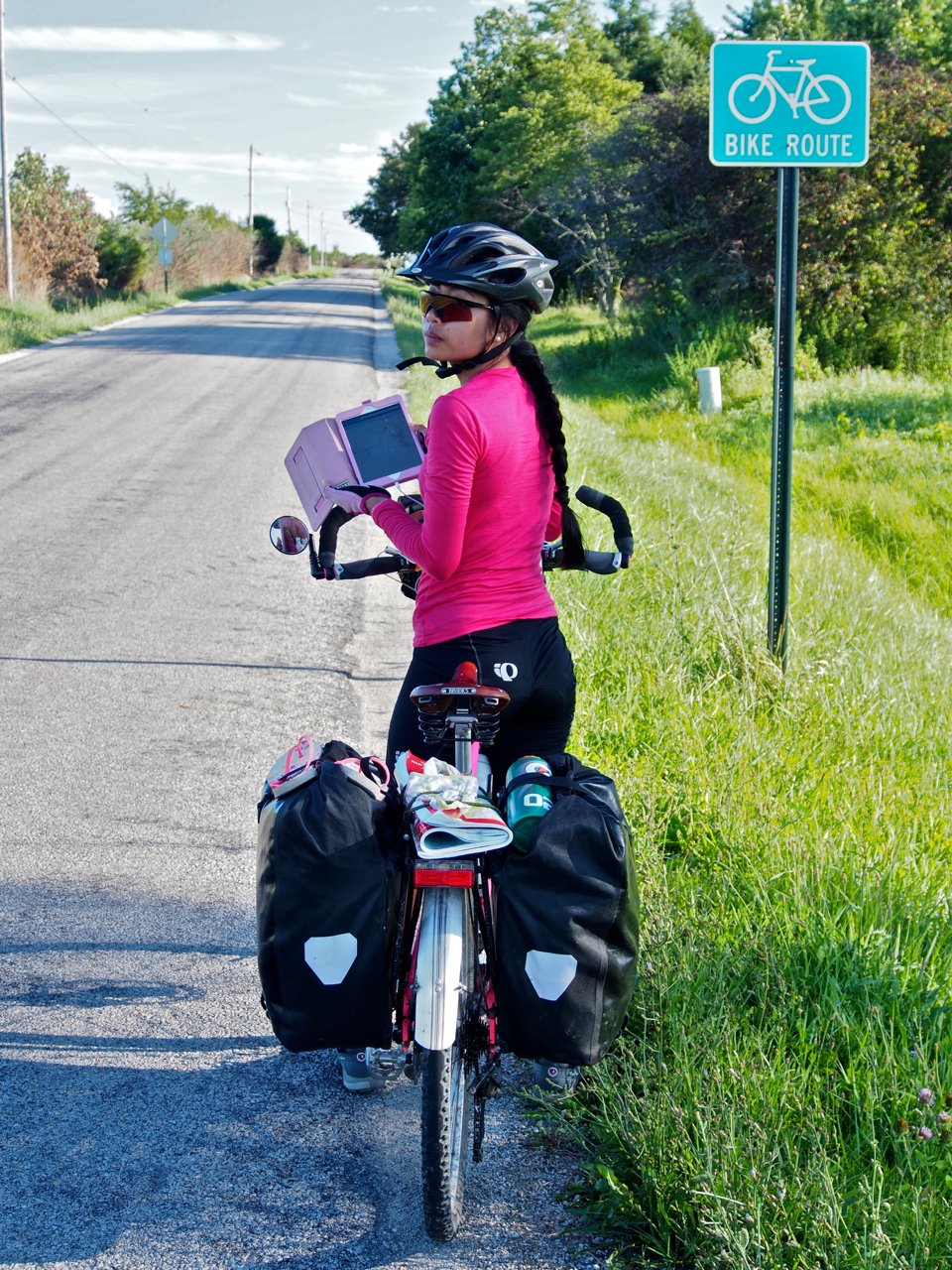
Pink on Pink on Pink on…

Our “campsite along the Connotton Trail outside Jewett, OH

Our campsite along the Connotton Trail outside Jewett, OH

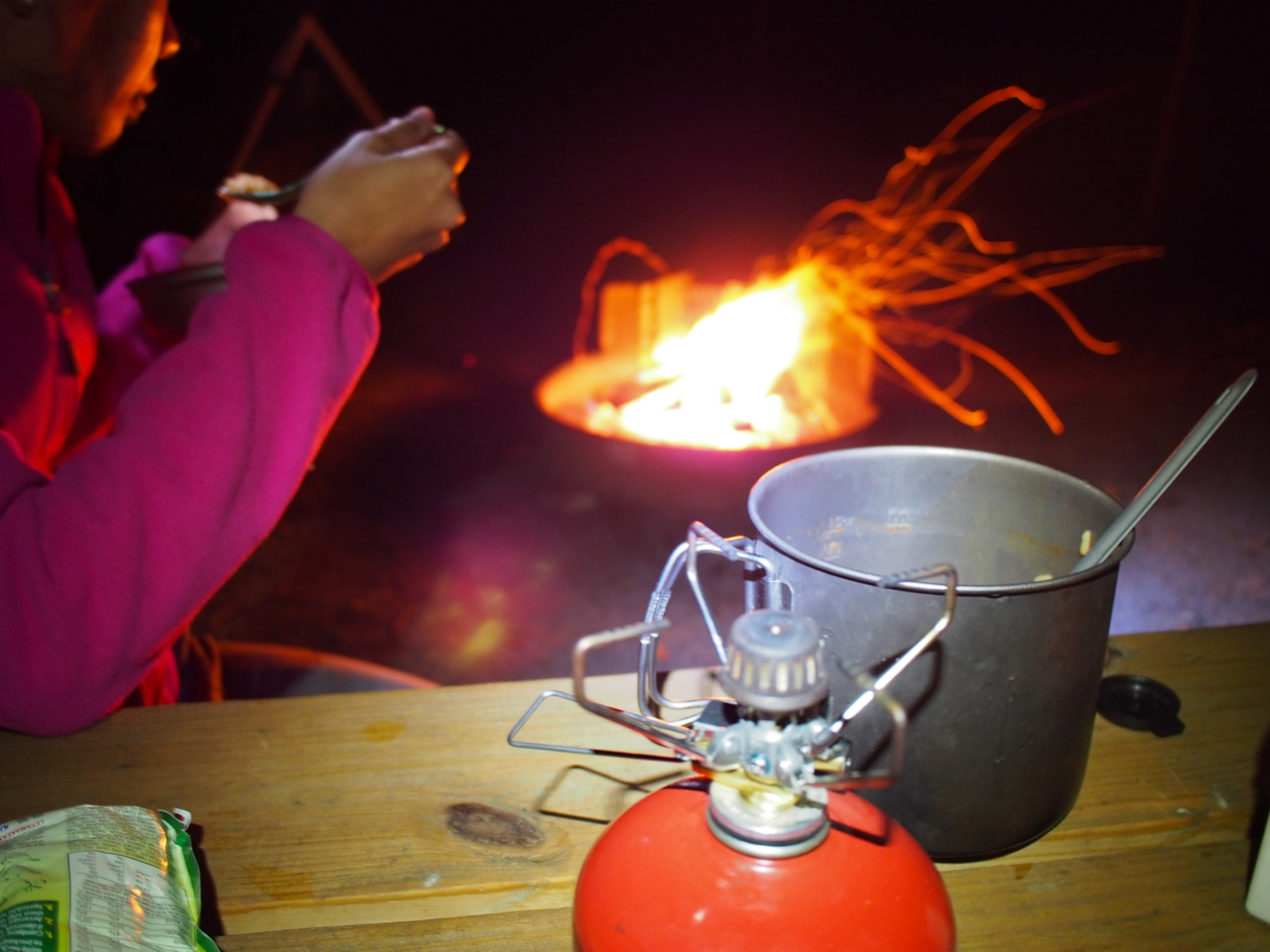
Preparing dinner in our campsite outside Jewett, OH

Lunch at Pangrazio’s Pizza and Spaghetti House in Uhrichsville, OH

Preparing dinner in our campsite in Coshocton Lake Park

Preparing dinner in our campsite in Coshocton Lake Park

Biking along Licking Park District Panhandle Trail near Hanover


With our very generous and helpful warmshowers.org hosts, Linda and Diana, in Newark, OH

Abby the curious cat

Appropriate loaner t-shirt


A scene from Granville T.J. Evans Trail


Preparing dinner in Westerville, OH


Statistics:
July 28: Pittsburg, PA to Steubenville, OH, 43.05 miles in 5 hours and 40 minutes
July 29: Steubenville, OH to Connotton Creek Trail, 33.16 miles in 4 hours and 38 minutes
July 30: Connotton Creek Trail to Coshocton Lake Park, 55.82 miles in 6 hours and 30 minutes
July 31: Coshocton Lake Park to Newark, OH, 43.45 miles in 4 hours and 57 minutes
August 1: Newark, OH to Westerville, OH, 36.08 miles in 4 hours and 23 minutes
Total miles: 211.56 miles
Tags: adventure cycling, bike, bike trail, black bike, campground, camping, connotton creek trail, coshocton lake park, cycling, eastern ohio, eyna, newark, ohio, ortlieb, panhandle, paul, paul & eyna, pennsylvania, pink and black bike, pink bike, pittsburg, steubenville, trail, west virginia, westerville
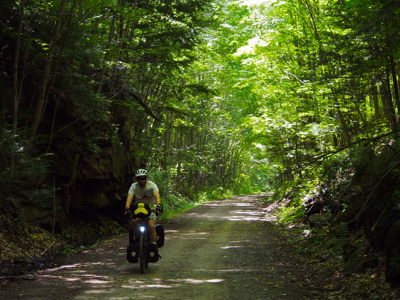
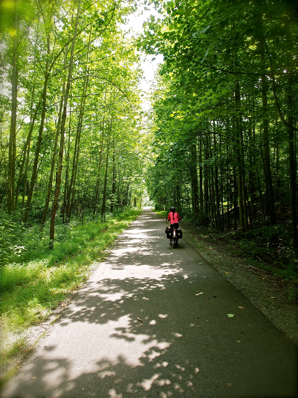
During the second leg of our trip, Eyna and I followed the 150-mile Great Allegheny Passage (GAP) Trail between Cumberland, MD and Pittsburgh, PA. The trail follows the course of decommissioned rail beds that were converted into crushed-limestone bicycle paths by the Allegheny Trail Alliance. Since the trail was officially opened in 2007, it has provided cyclists with a convenient way of bypassing the steep, winding, and narrow roads that are characteristic of the Appalachian hills.
Unfortunately, free campsites are not as prevalent along the GAP as they are along the C&O canal. There are ample opportunities for “Stealth” camping, but Eyna and I chose to stay at a paid site called Husky Haven, near Rockwood, PA, and at a free site on the northwest side of Connellsville, PA. We highly recommend the latter, which is complete with two small wooden shelters, charcoal BBQ grills, a water source, and is located only a few steps from a 24-hour supermarket. There is also an outdoor, cold-water shower a few pedal strokes away in an adjacent park.
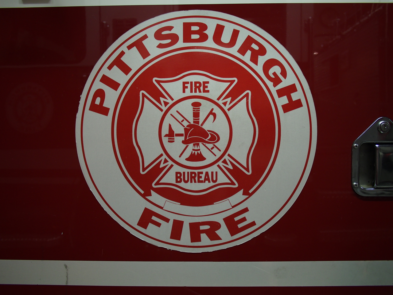
At the conclusion of our third and final day on the trail we reached Pittsburgh, where we wound up sleeping in the basement gym of a City of Pittsburgh firehouse. Many thanks to very hospitable folks from Engine Company 39!

Riding out of Cumberland along the Great Allegheny Passage Trail.

Entering Pennsylvania…

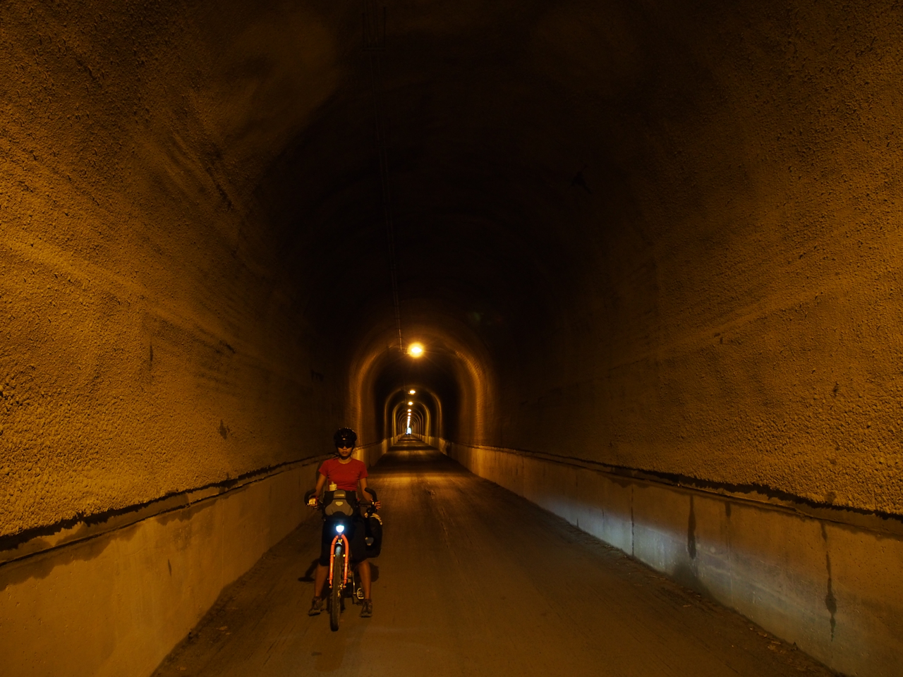
Yet another tunnel…although not quite as dark, dank, and creepy as the Paw Paw Tunnel along the C&O.

Crossing the Eastern Continental Divide. All water on the eastern side of the divide flows to the Atlantic; all water on the western side flows to the Gulf of Mexico.

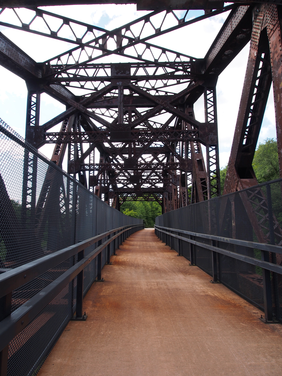
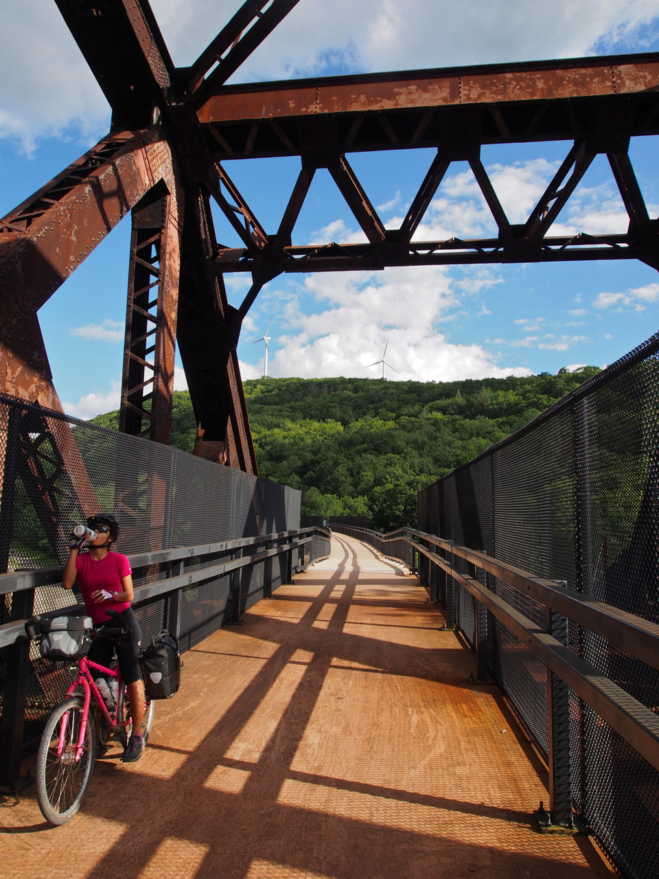
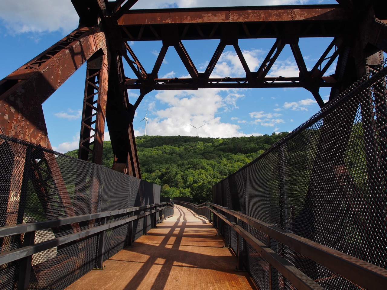
Repurposed, over-built cycling infrastructure.

Repurposed, over-built cycling infrastructure.

Repurposed, over-built cycling infrastructure.
Note the windmills crowning the hill in the background.

Repurposed, over-built cycling infrastructure.

At the conclusion of our first day on the GAP.

At the conclusion of our first day on the GAP.

Typical GAP Scene.

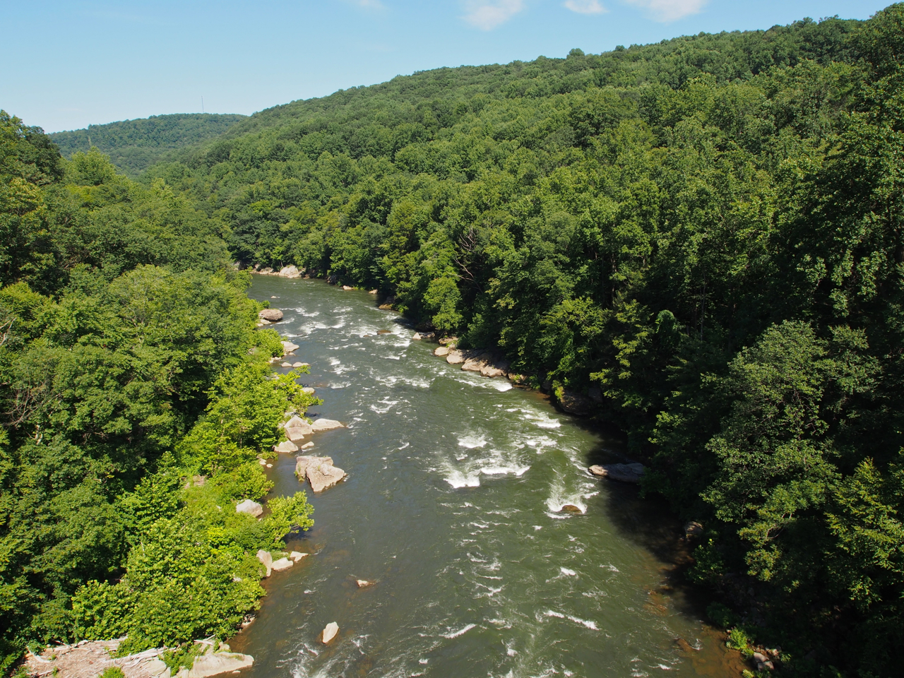
River scene near Ohiopyle, PA

River scene near Ohiopyle, PA

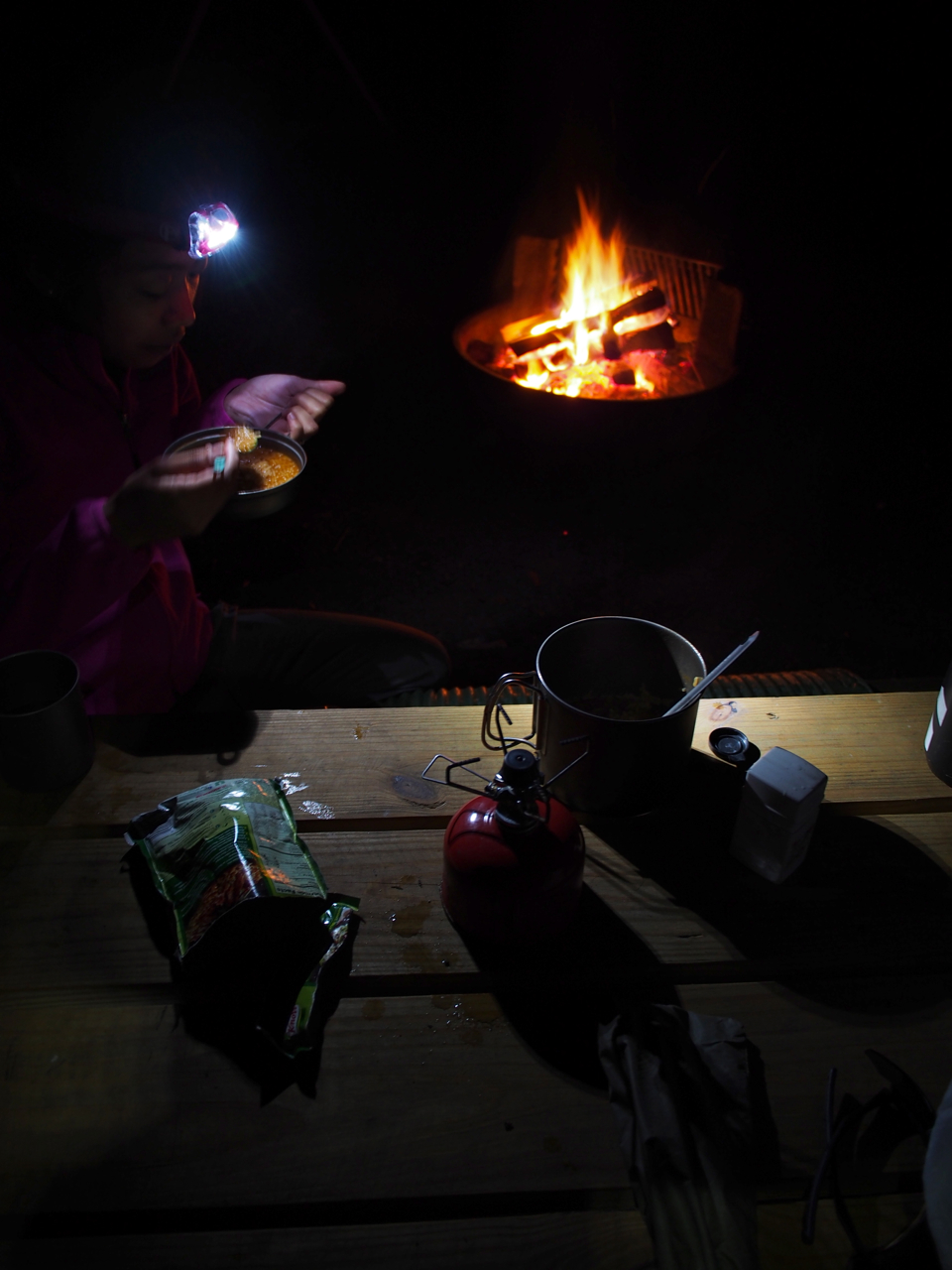
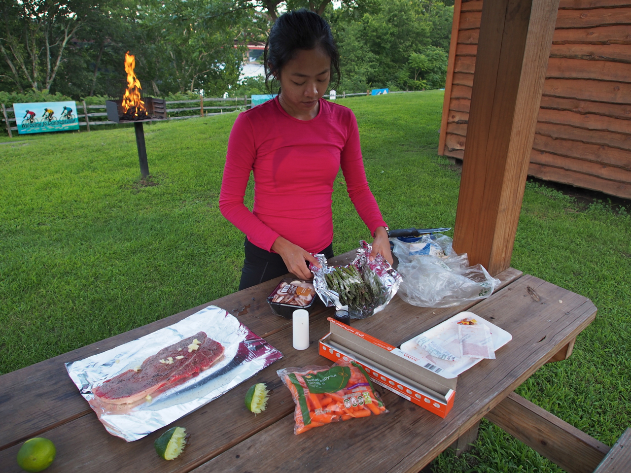
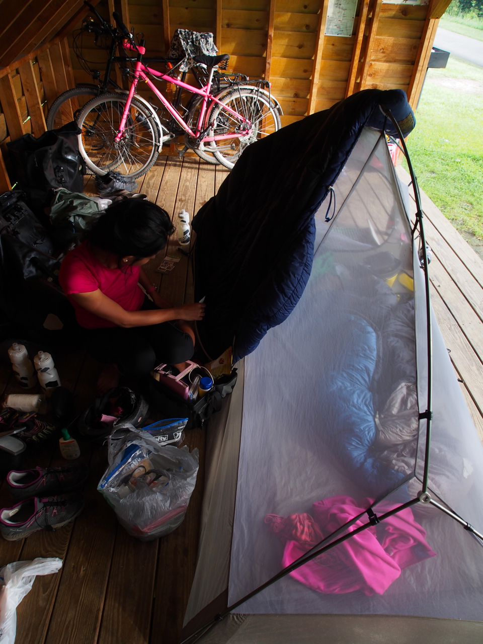
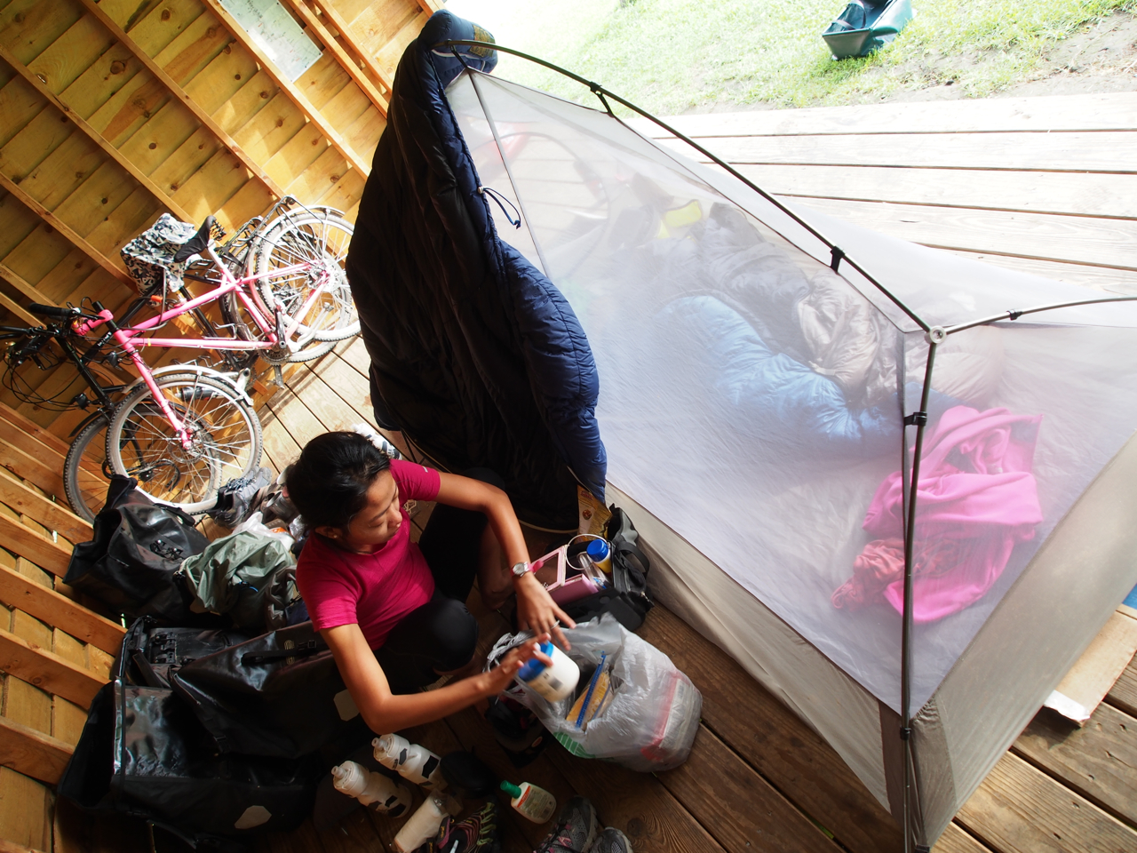
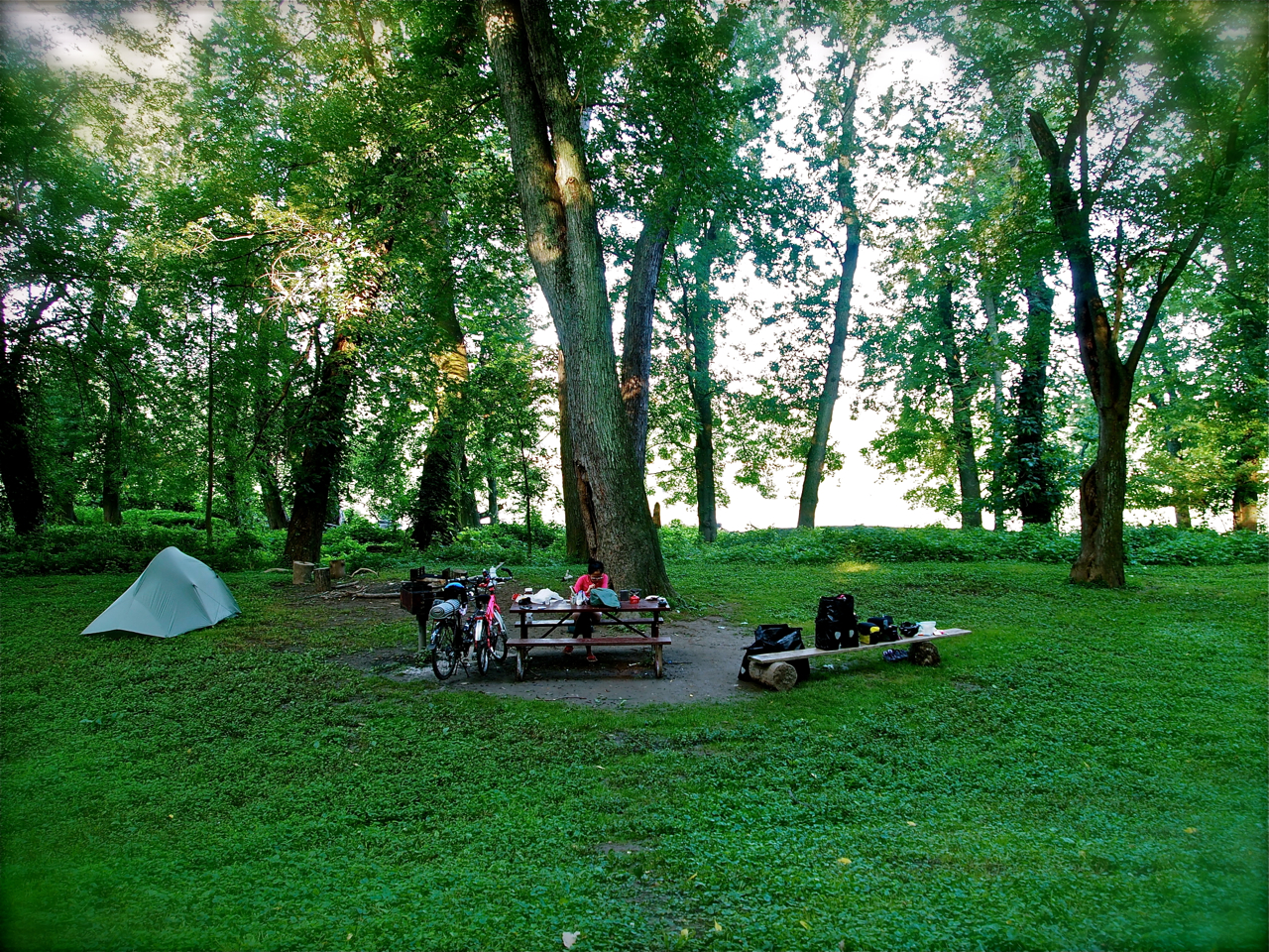
Prepping dinner at the FREE campsite outside Connellsville, PA

Prepping dinner at the FREE campsite outside Connellsville, PA

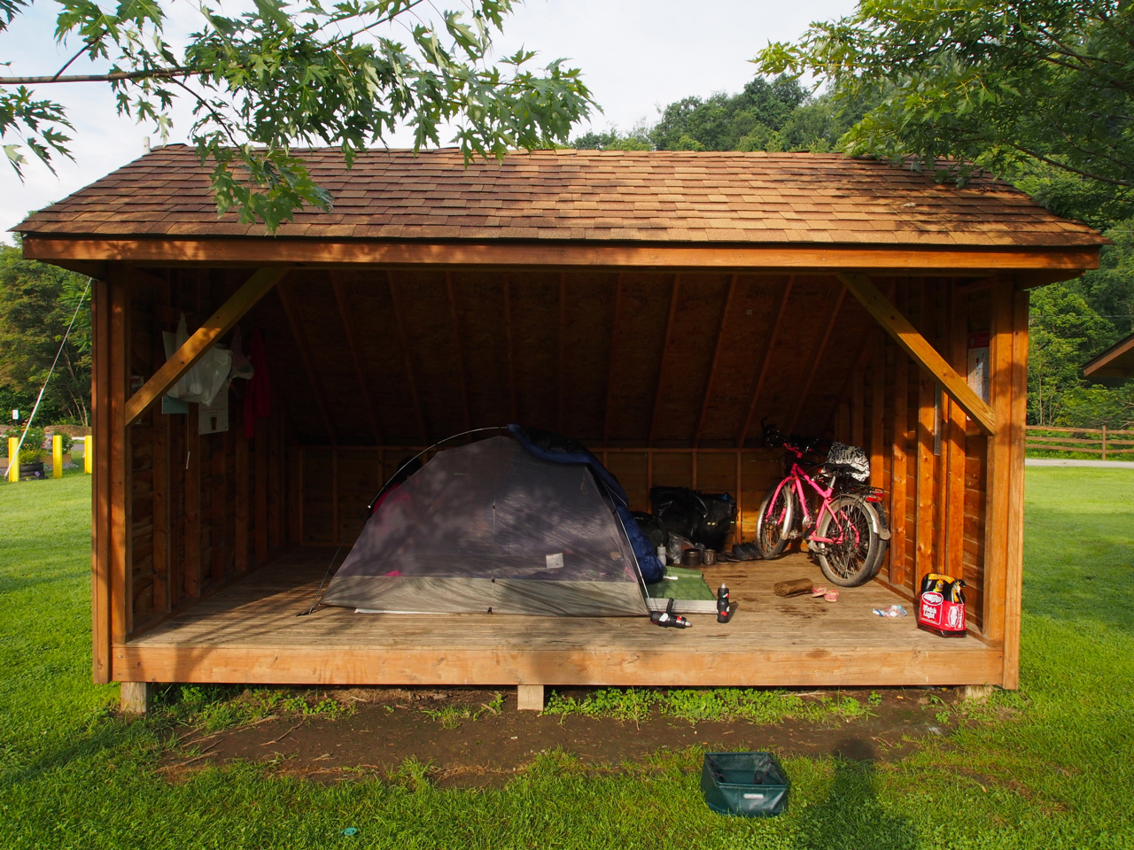
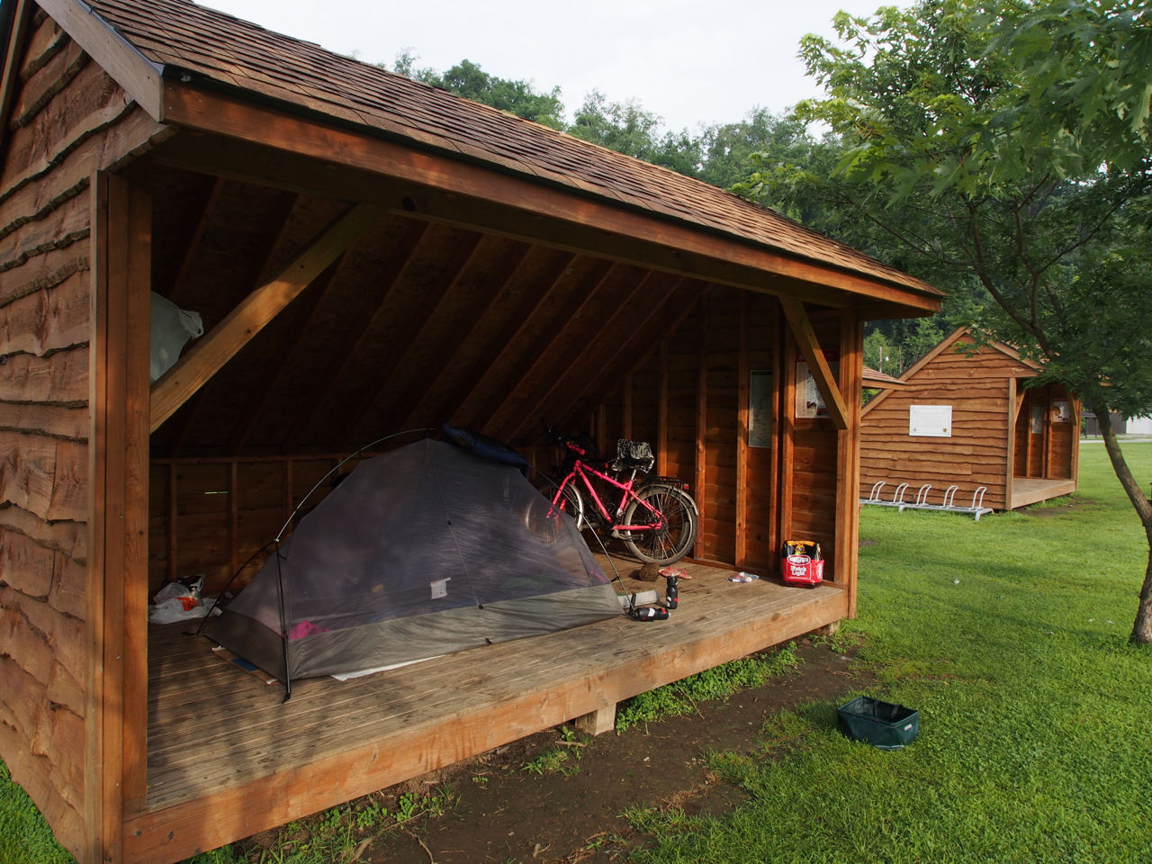
Free campground shelter near Connellsville, PA

Free campground shelter near Connellsville, PA

Free campground shelter near Connellsville, PA

Free campground shelter near Connellsville, PA

“PINK flowers!”

GAP Scene

Mrs. Kane pedaling her custom, pink Surly Trolls along the GAP

Landscaping Gone Wild

GAP Scene

GAP Scene

Firehouse Accommodations, complete with running water and hot showers.

Firemen save the day.

Being a fireman seemed like a pretty good gig…

The stuff of every 4-year olds’ dreams…


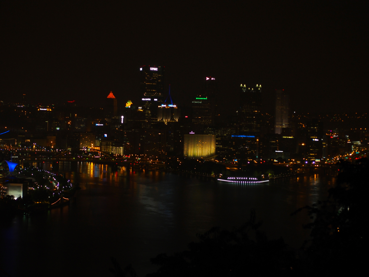
Pittsburgh City Overlook

Pittsburgh City Overlook
Statistics:
July 25: Cumberland, MD to Husky Haven Campground, PA, 45.42 miles in 5 hours and 34 minutes
July 26: Husky Haven Campground, PA to Connelsville, PA, 49.31 miles in 4 hours and 53 minutes
July27: Connelsville, PA to Pittsburg, PA, 61.81 miles in 6 hours and 35 minutes
Total miles: 156.54 miles
Tags: Barbecue, bike, bike trail, black bike, campground, Connellsville Pennsylvania, Cumberland Maryland, eyna, GAP, gap trail, great allegheny passage, maryland, paul & eyna, pennsylvania, pink and black bike, pink bike, Pittsburgh, Rockwood Pennsylvania, surly, trail
This is the first leg of our cross-country cycling trip in the US. We left Rockville, MD late in the afternoon on the 14th of July.
Food? Check! Gear? Check! Training? Uhh… We have no training whatsoever but we started pedaling anyway before any of our family and friends have the chance to ask us again when we’re going to leave for our cycling trip.
We rode along the C&O Canal… thank goodness it was flat, it was easy, it was the best way to start this adventure. After 185 miles, we finally got to Cumberland, the end of the canal, on the 18th.
Unfortunately, we have to go back to Rockville for a few days to take care of some paperwork for Eyna’s visa status but we’ll be back on our bikes on the 24th.
This break will also give time for our muscles to recover.

first campsite: chisel branch campground along the c&o canal

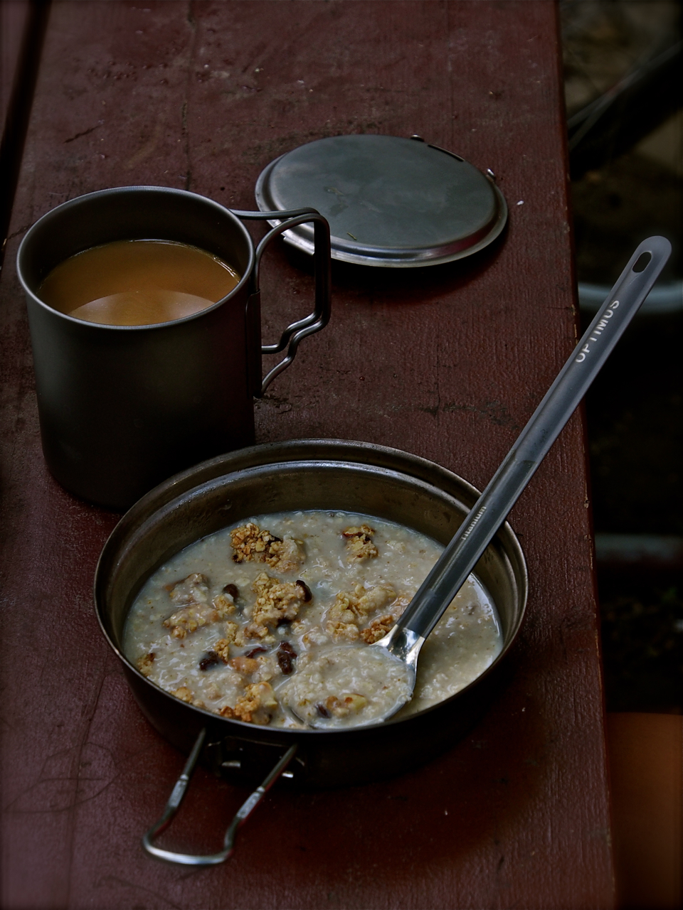
breakfast: coffee, oatmeal, granola and craisins

j.c. sunray along the c&o canal

vultures hanging out along the c&o canal

cycling alongside an algae filled c&o canal

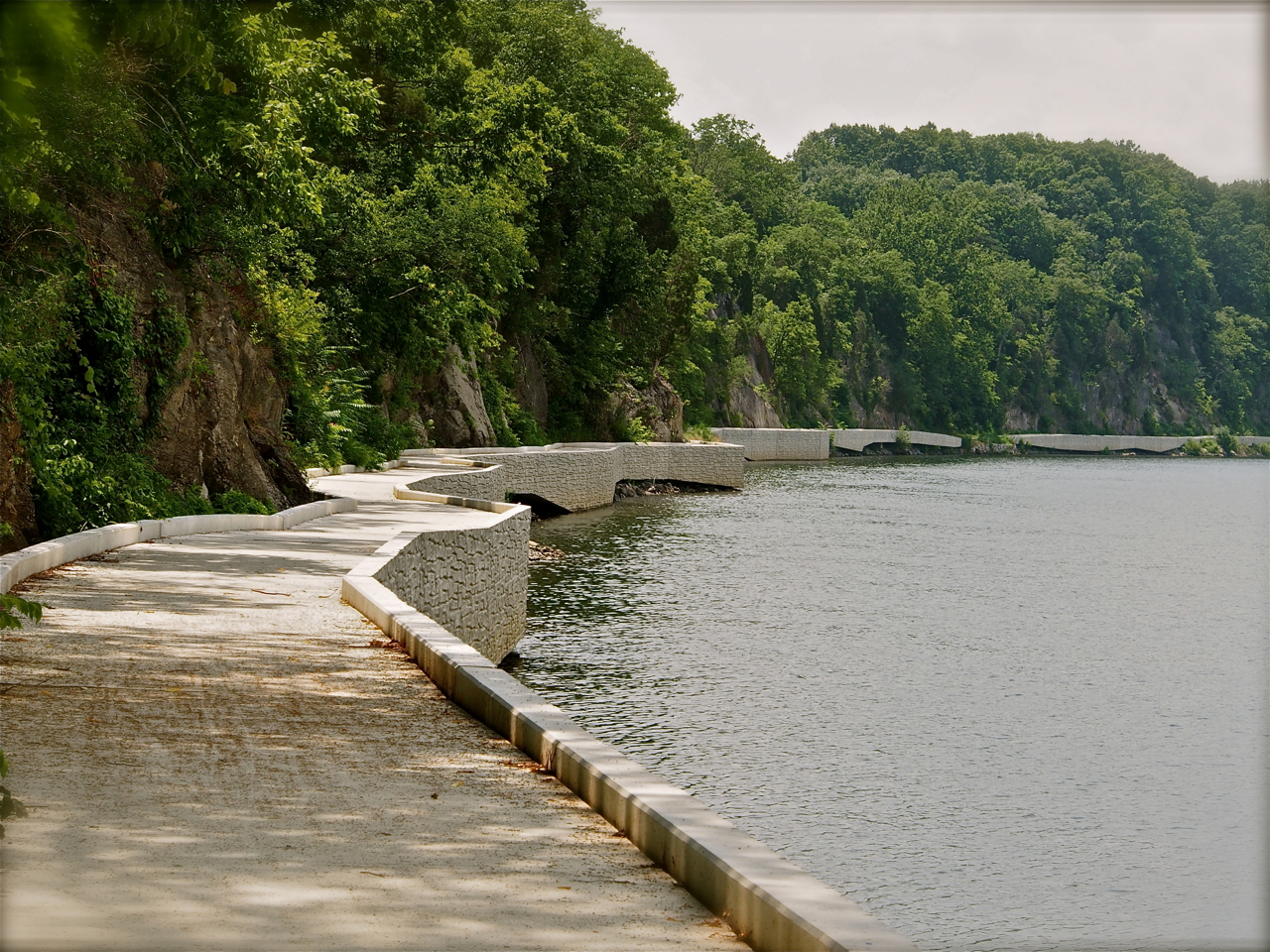
cycling on an aqueduct along the c&o canal

having a break at calico rocks campground along the c&o canal

power nap at calico rocks campground along the c&o canal

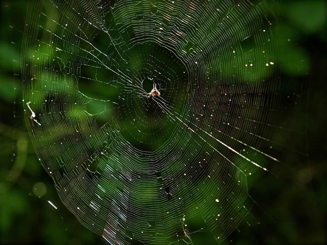
spiderweb along the c&o canal

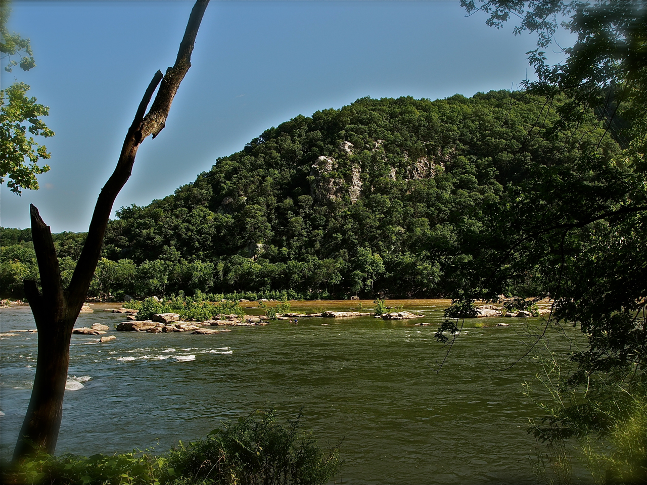
view of the potomac river along the c&o canal

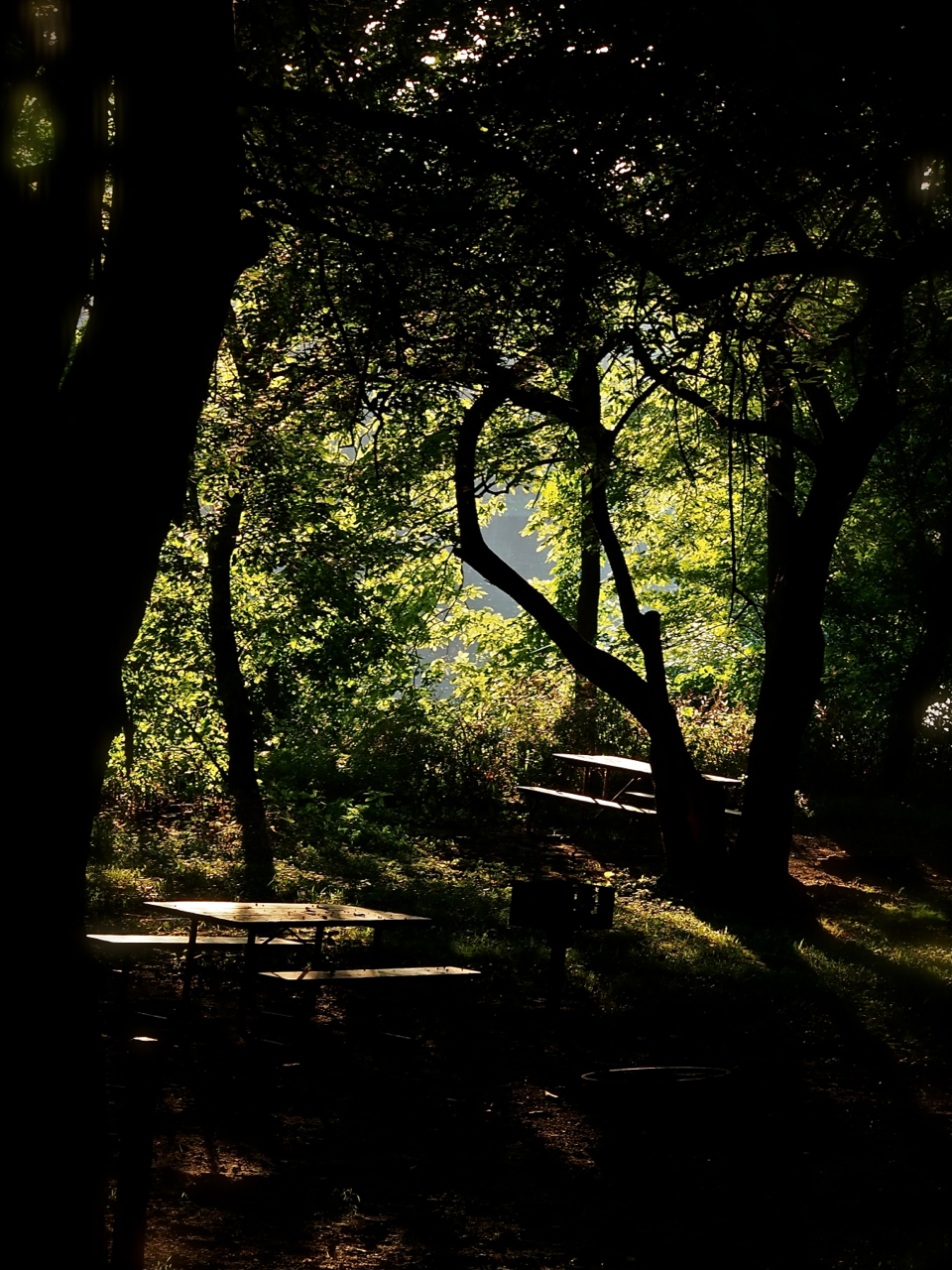
picnic tables along the c&o canal

along the c&o canal

along the c&o canal

along the c&o canal

along the c&o canal

third campsite: little pool campground along the c&o canal

cycling along the c&o canal

cycling on a shady bike path along the c&o canal

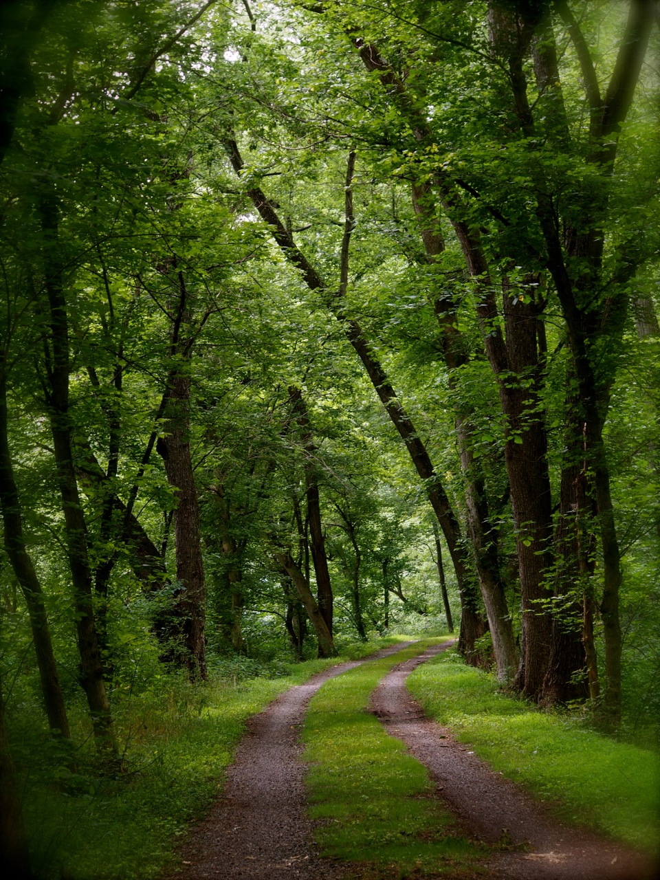
along the c&o canal

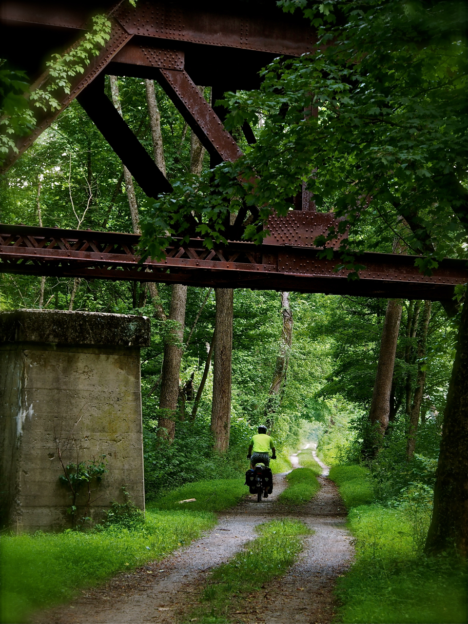
a steel bridge along the c&o canal

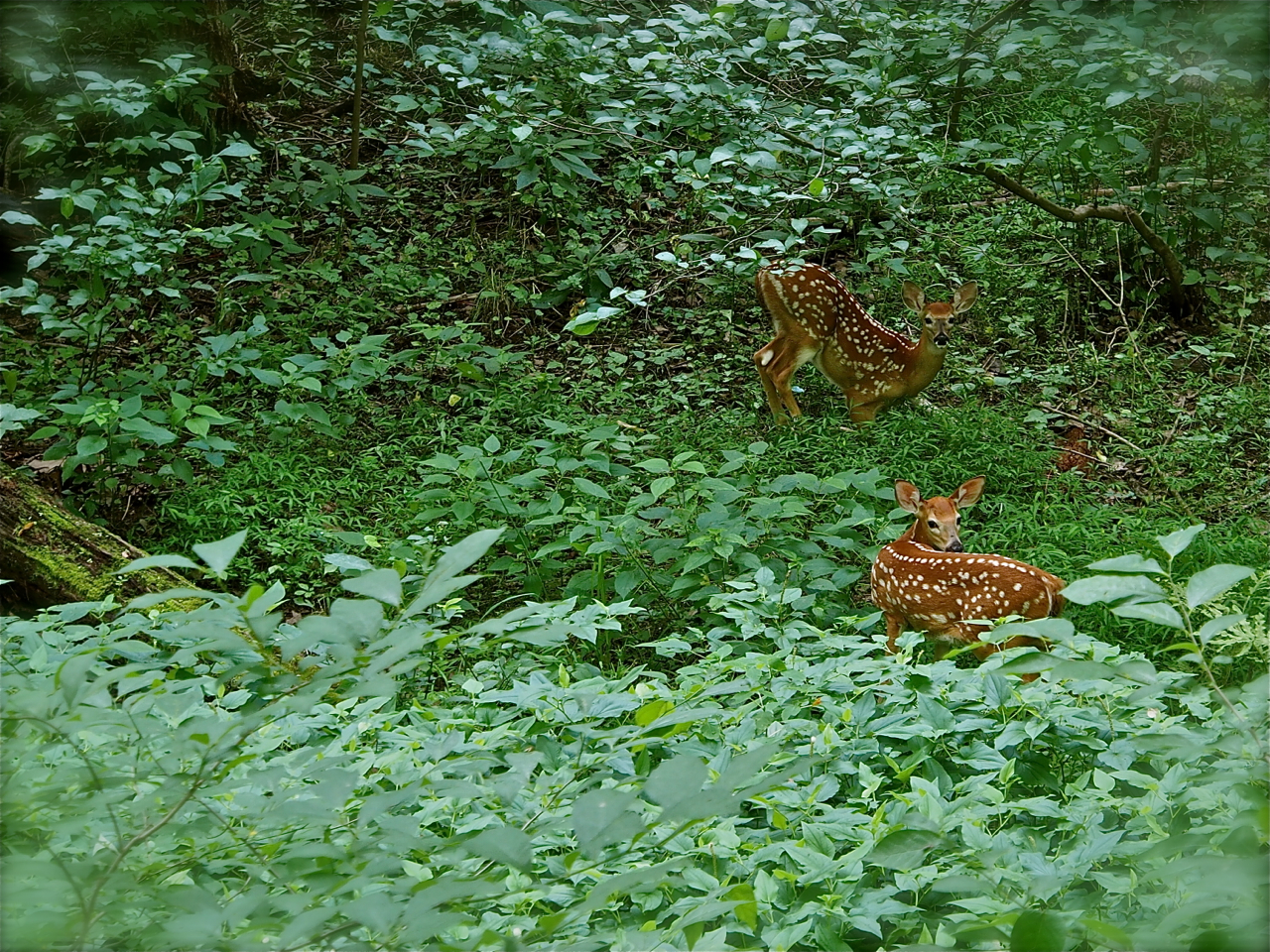
spotted some fawns along the c&o canal

along the c&o canal

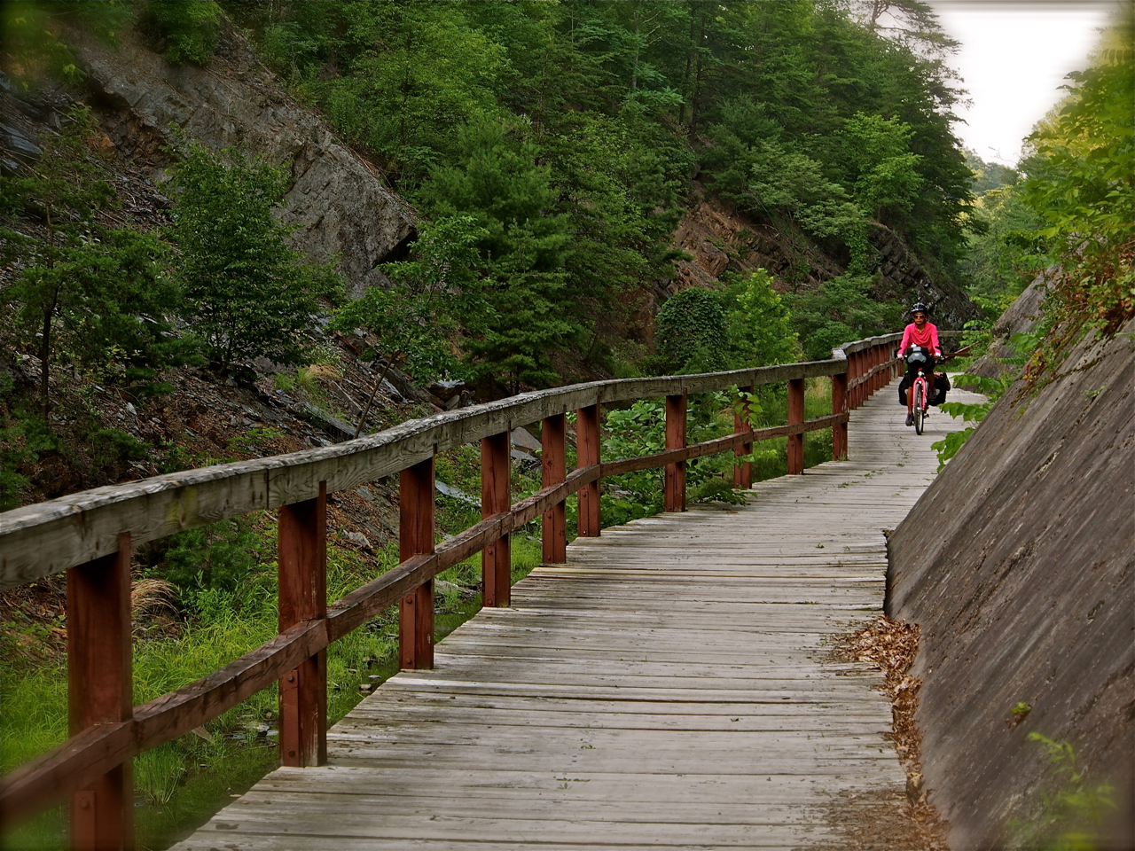
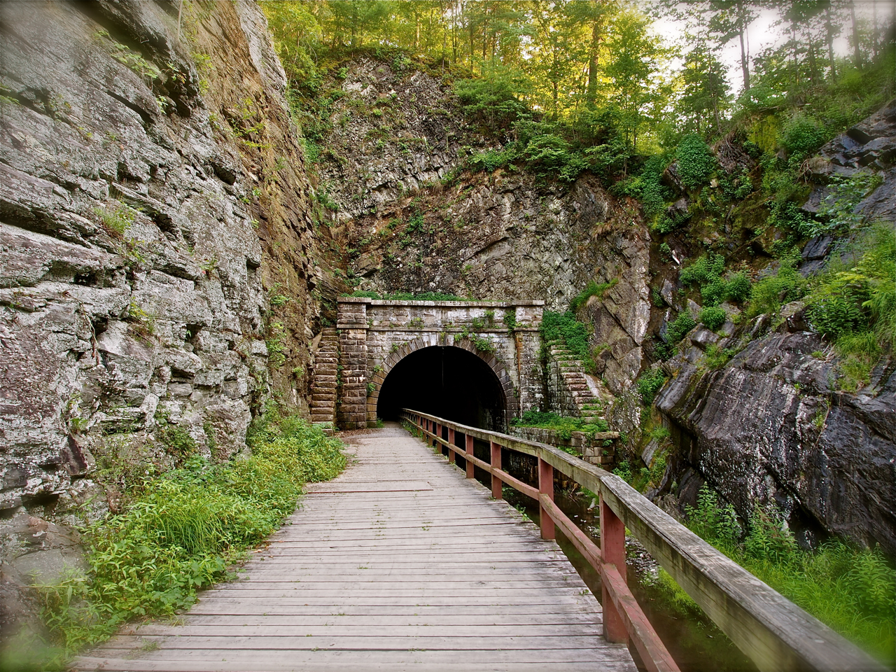
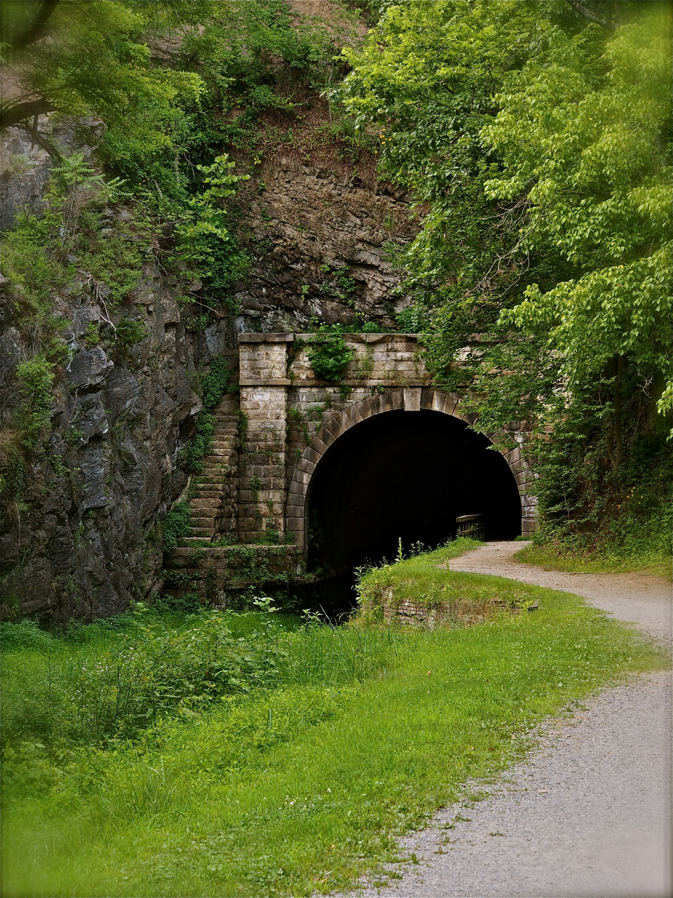
on the way to the paw paw tunnel along the c&o canal

entrance to the paw paw tunnel along the c&o canal

ceiling of the paw paw tunnel along the c&o canal

the other end of the creepy paw paw tunnel along the c&o canal

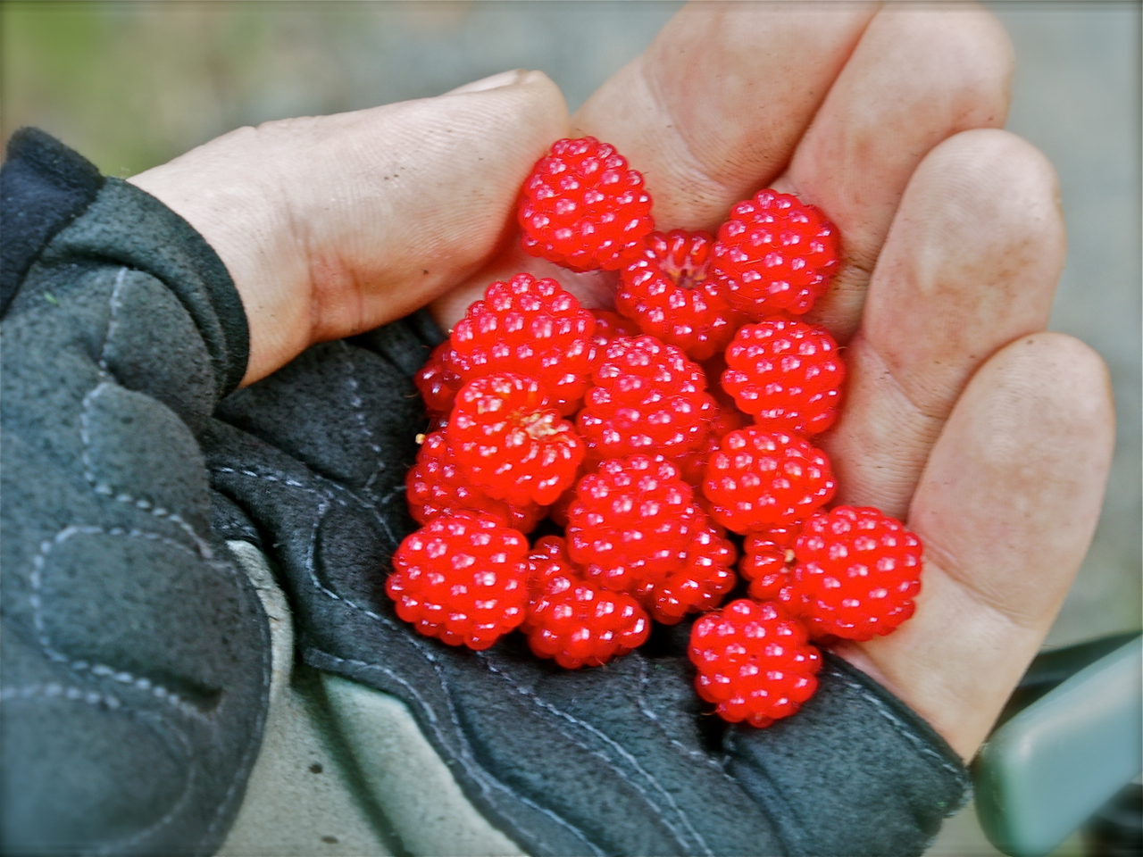
wild raspberries along the c&o canal

campfire along the c&o canal

fourth campsite: town creek campground along the c&o canal

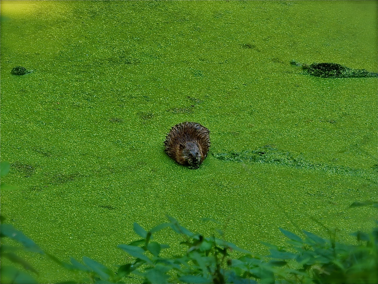
muskrat eating algae along the c&o canal

cycling along the c&o canal

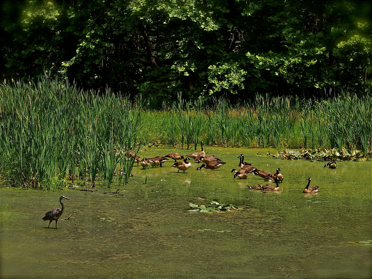
a heron and geese hanging out along the c&o canal

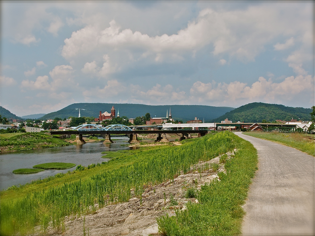
view of cumberland along the c&o canal

lunch with christian and his family in cumberland

after 5 days of cycling, a night at marriott hotel in cumberland; a wedding gift from christian and his family
Statistics:
July 14: Rockville, MD to Chisel Branch Campground, MD, 26.72 miles in 5 hours and 45 minutes
July 15: Chisel Branch Campground, MD to Killiansburg Cave Campground, MD, 45.78 miles in 5 hours and 43 minutes
July 16: Killiansburg Cave Campground, MD to Little Pool Campground, MD, 47.21 miles in 5 hours and 39 minutes
July 17: Little Pool Campground, MD to Town Creek Campground, MD, 42.52 miles in 5 hours and 5 minutes
July 18: Town Creek Campground, MD to Cumberland, MD, 23.63 miles in 2 hours and 40 minutes
Total miles: 185.56 miles
Tags: bike, bike trail, black bike, c&o canal, campground, camping, canal, chesapeake, CHESAPEAKE AND OHIO CANAL, Cumberland, eyna, maryland, ohio, paul, paul & eyna, pennsylvania, pink and black bike, pink bike, Potomac River, Recreation, surly, Total, trail, United States, Washington DC