From the Columbus, OH suburb of Westerville, we rode 221.44 miles over five days to the small town of Franklin, IN where we met an old friend. We’ve spent the last few days lounging around his place near Bloomington, IN. Soon we will return to Franklin and then continue pedaling west. It will be good to get back on the road after several days of comfortable accommodations, fresh food, and warm showers.
One noteworthy event from our trip that we failed to capture images of took place in Rushville, IN. We were having a picnic on a bench in front of a supermarket, occasionally chatting with passersby, when one of them, Sarah, invited us into her home, which was only a half-mile away. We were originally planning on continuing another 20 miles down the road, but we decided to take advantage of the opportunity to get to know some locals and spend a bit of time in a small Indiana town. That was definitely the right decision to make…we had a great time in Rushville that evening.
We will add another post from St. Louis, MO. In the mean time, here are a few photos from the route between central Ohio and central Indiana…
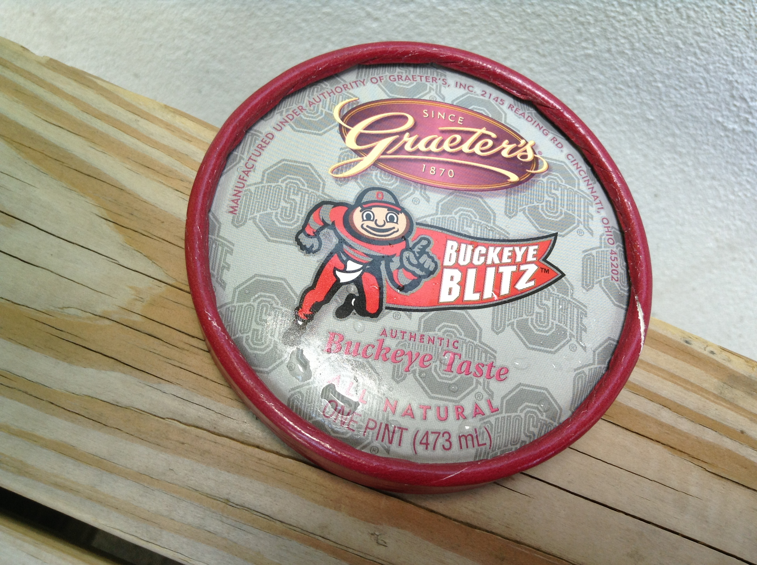
Ice cream break in Dublin, Ohio. Graeter’s “Buckeye” ice cream is a peanut butter and chocolate combo that can only be found in the Buckeye state.
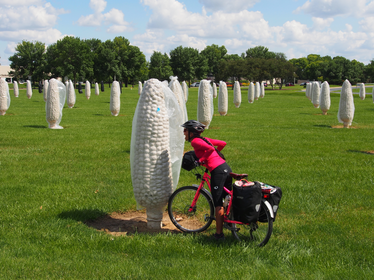
Eyna has no qualms about eating genetically modified crops. Here she is trying to take a bite out of her favorite summertime staple: sweet corn. Dublin, Ohio
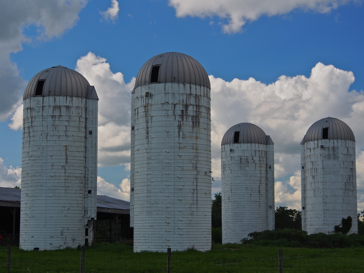
Silos along Prince-Hilliards Rd, Plain City, Ohio

Stray llama. Prince-Hilliards Rd, Plain City, Ohio
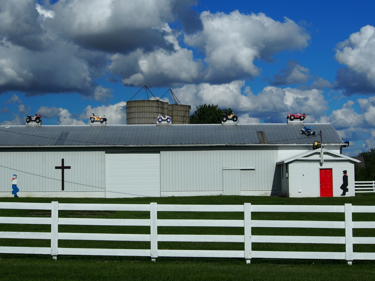
This is what happens when a farmer with a fleet of Power Wheels decides to get creative…

In search of a bike trail. Morgan Rd, West Jefferson, Ohio
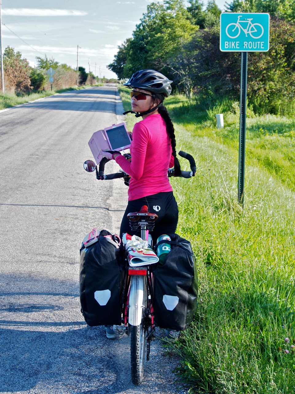
Following the Adventure Cycling Association’s “Underground Railroad” route for a few miles until we connected with one of the many bike paths in the Columbus-Cincinnati-Dayton area.

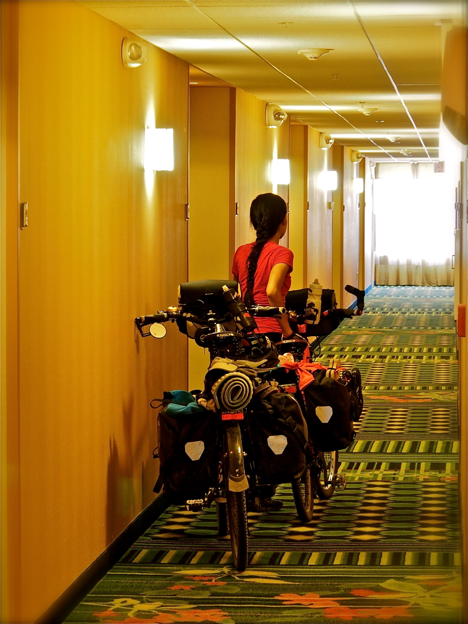
When we arrive in a small town and we don’t have a place to stay, we ask the local police department to recommend a safe and quiet spot where we can pitch our tent. They know the towns inside and out, and their recommendations have been pretty reliable. We’ve noticed that they usually send a cruiser by our camp a few times during the course of the night to check on us, too. Here we are approaching the station in London, Ohio.
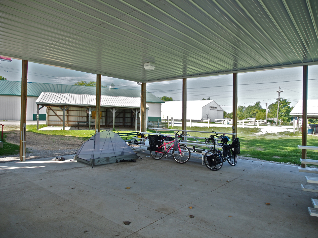
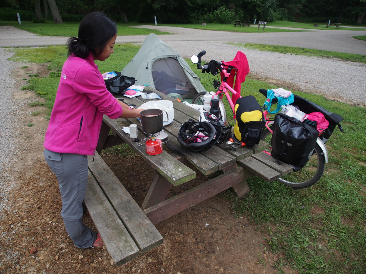
Camping in Madison County Fairgrounds. London, Ohio
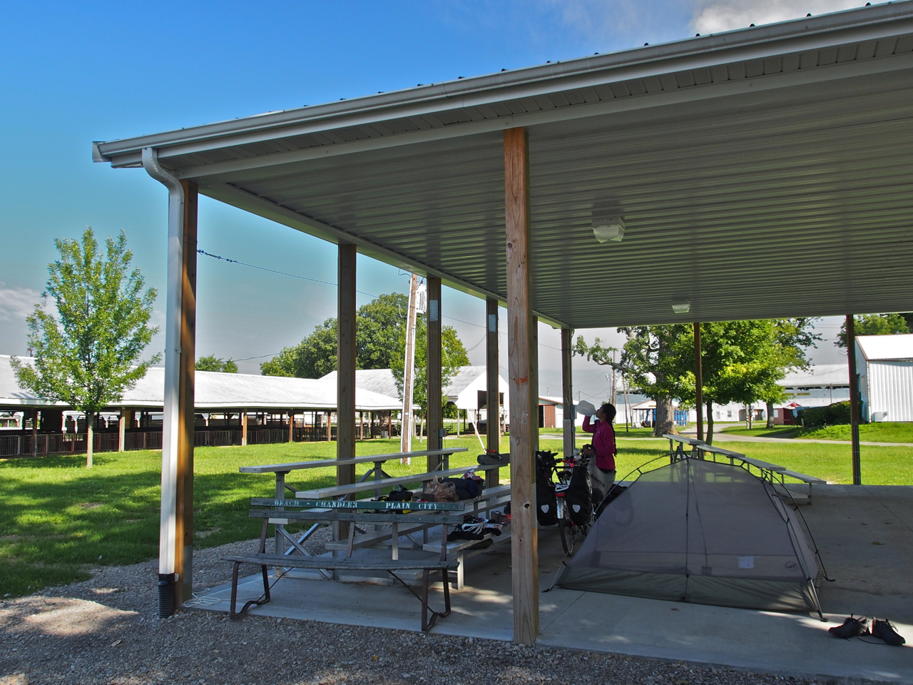
Camping in the Madison County Fairgrounds. London, Ohio
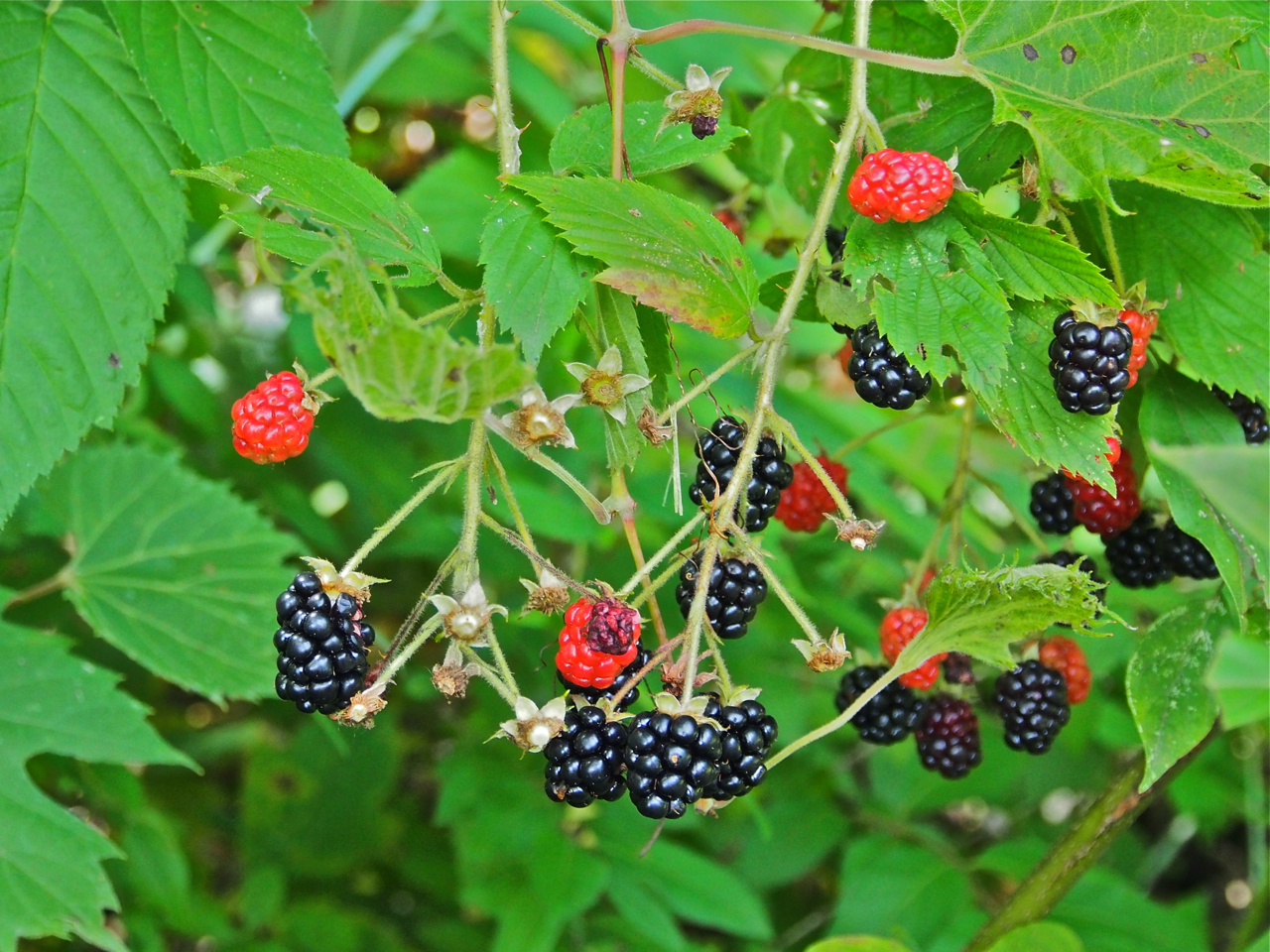
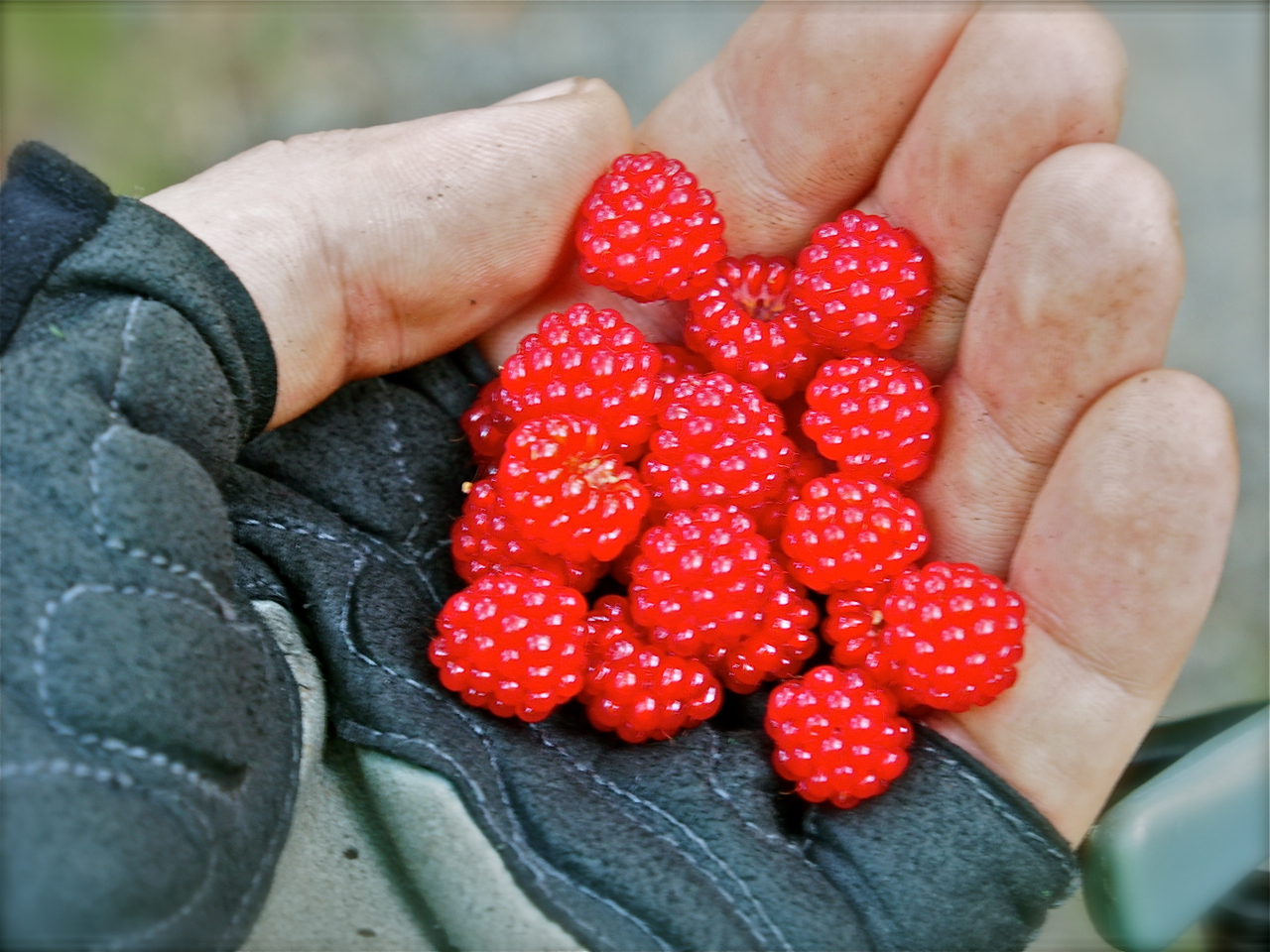
Wild blackberries along the bike trail near London, Ohio
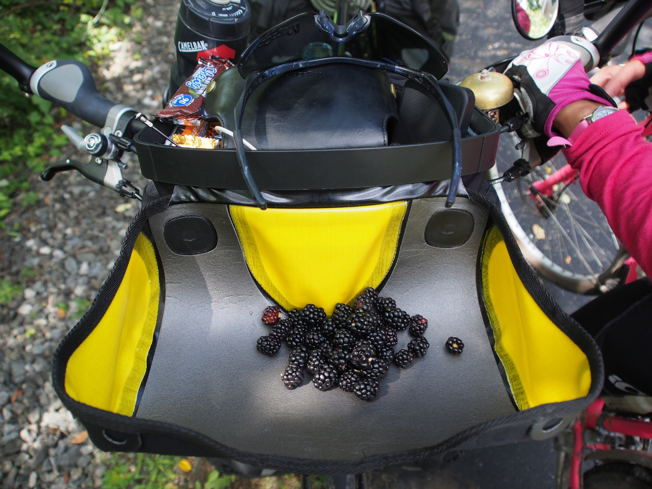
Wild blackberries along the bike trail near London, Ohio
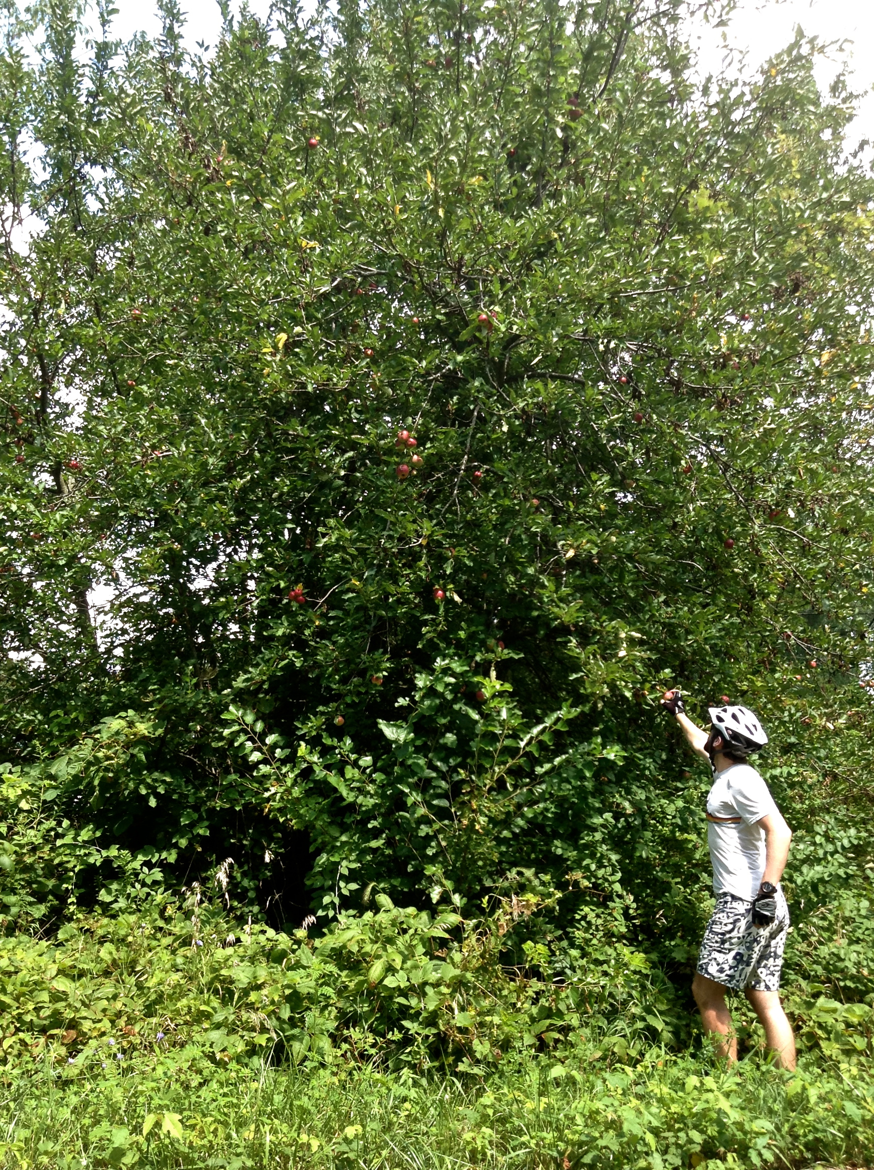
Picking wild apples along the bike path near London, Ohio

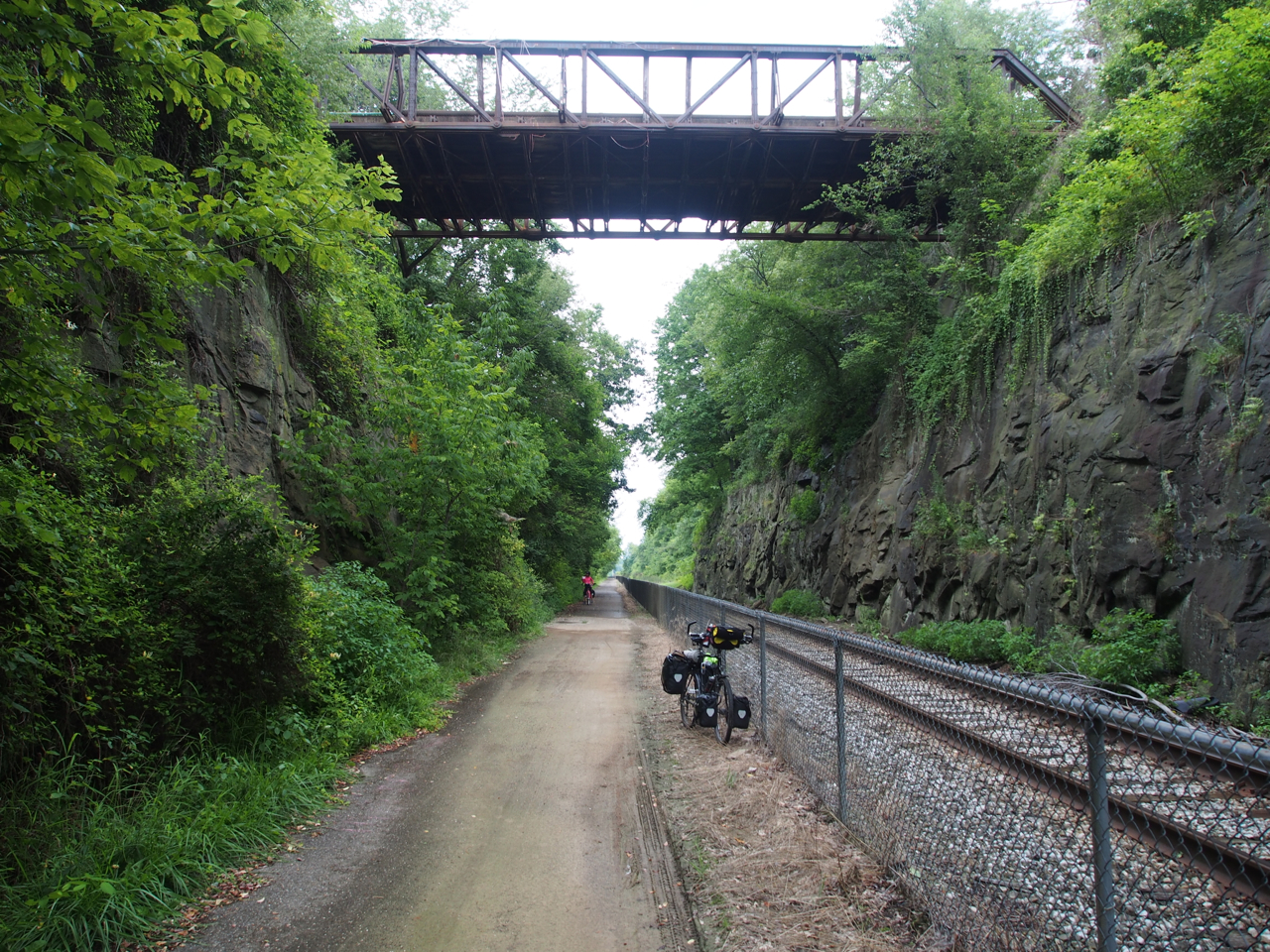
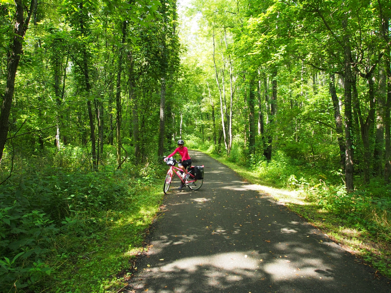
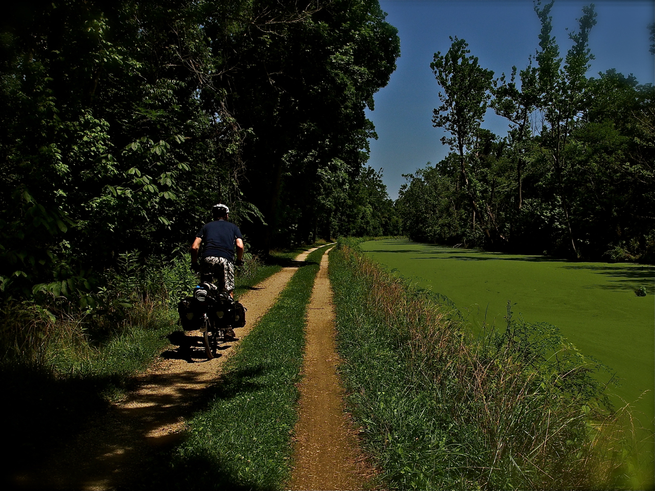
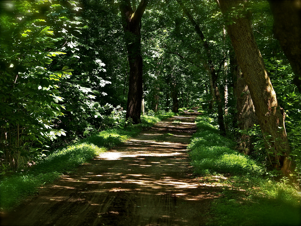
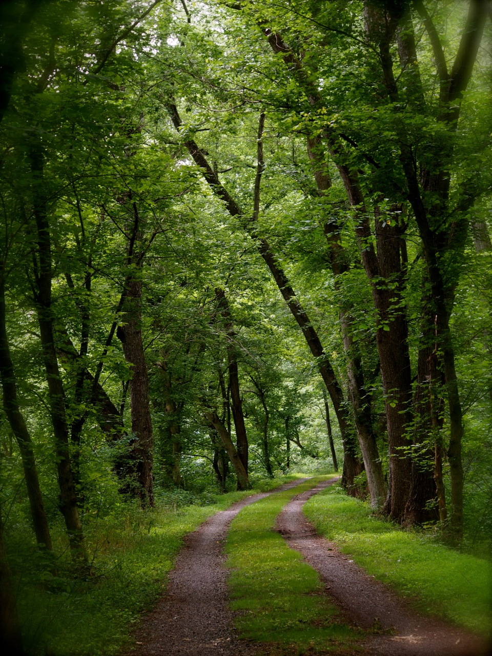
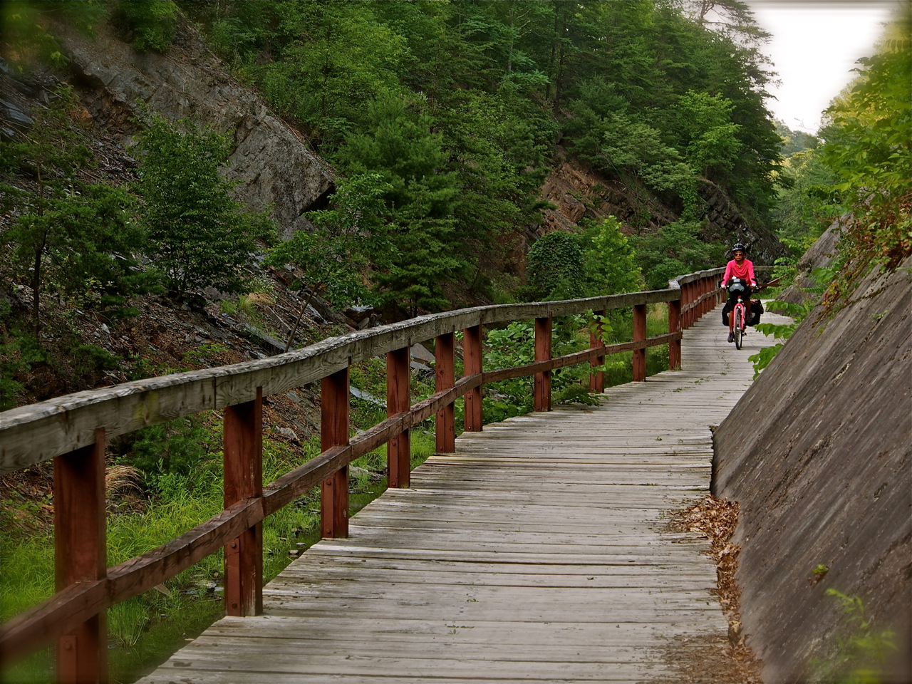
The bike paths in Western and Central Ohio are clean, smooth, and mostly flat. This scene is from a trail near South Charleston, Ohio

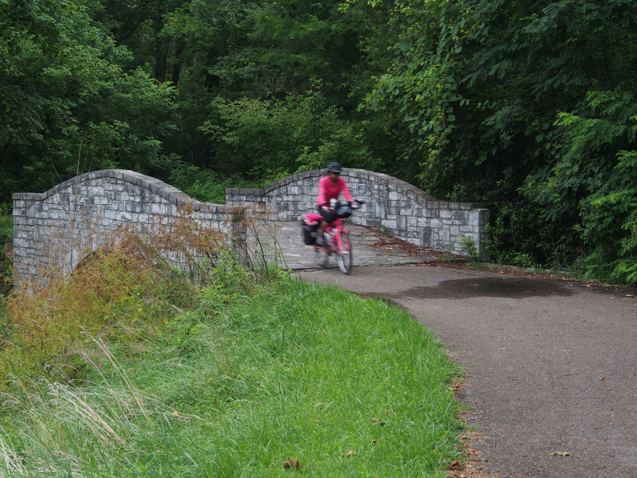
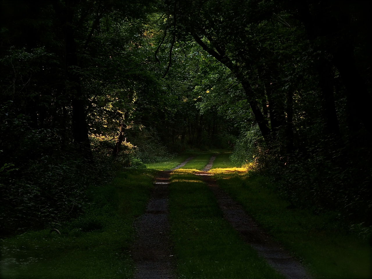
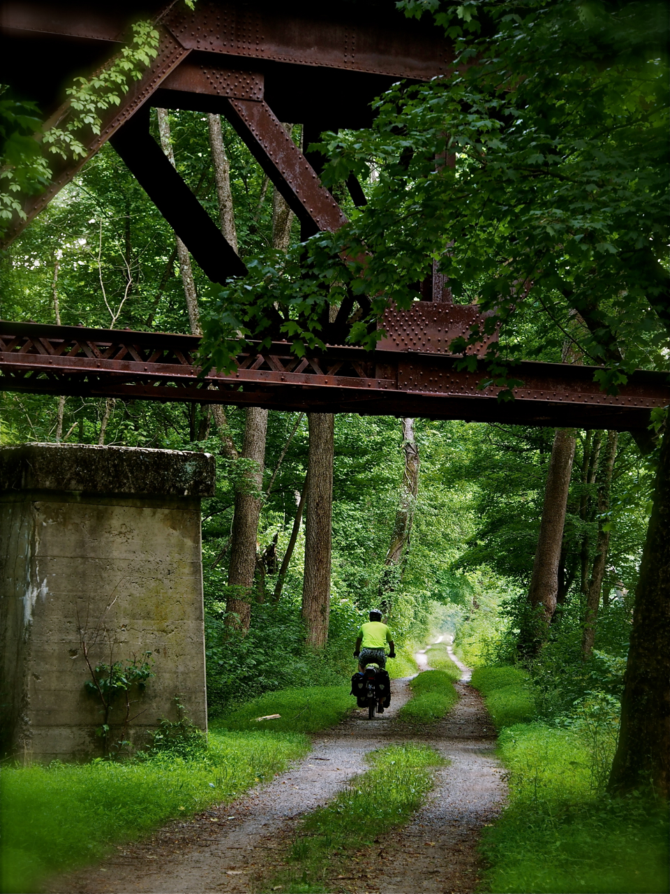
Along the bike path in Cedarville, Ohio
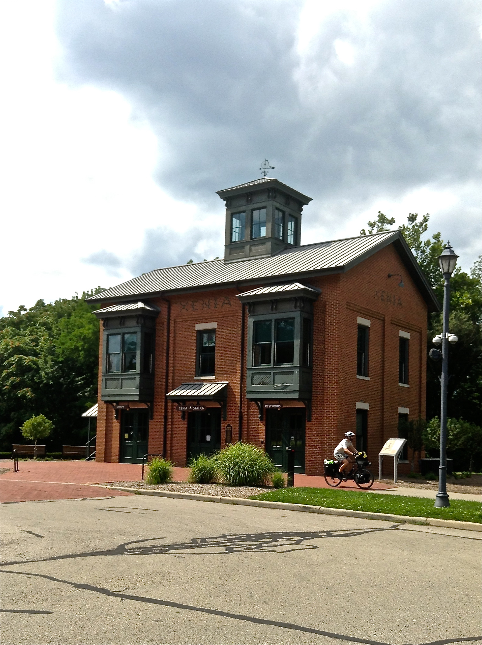
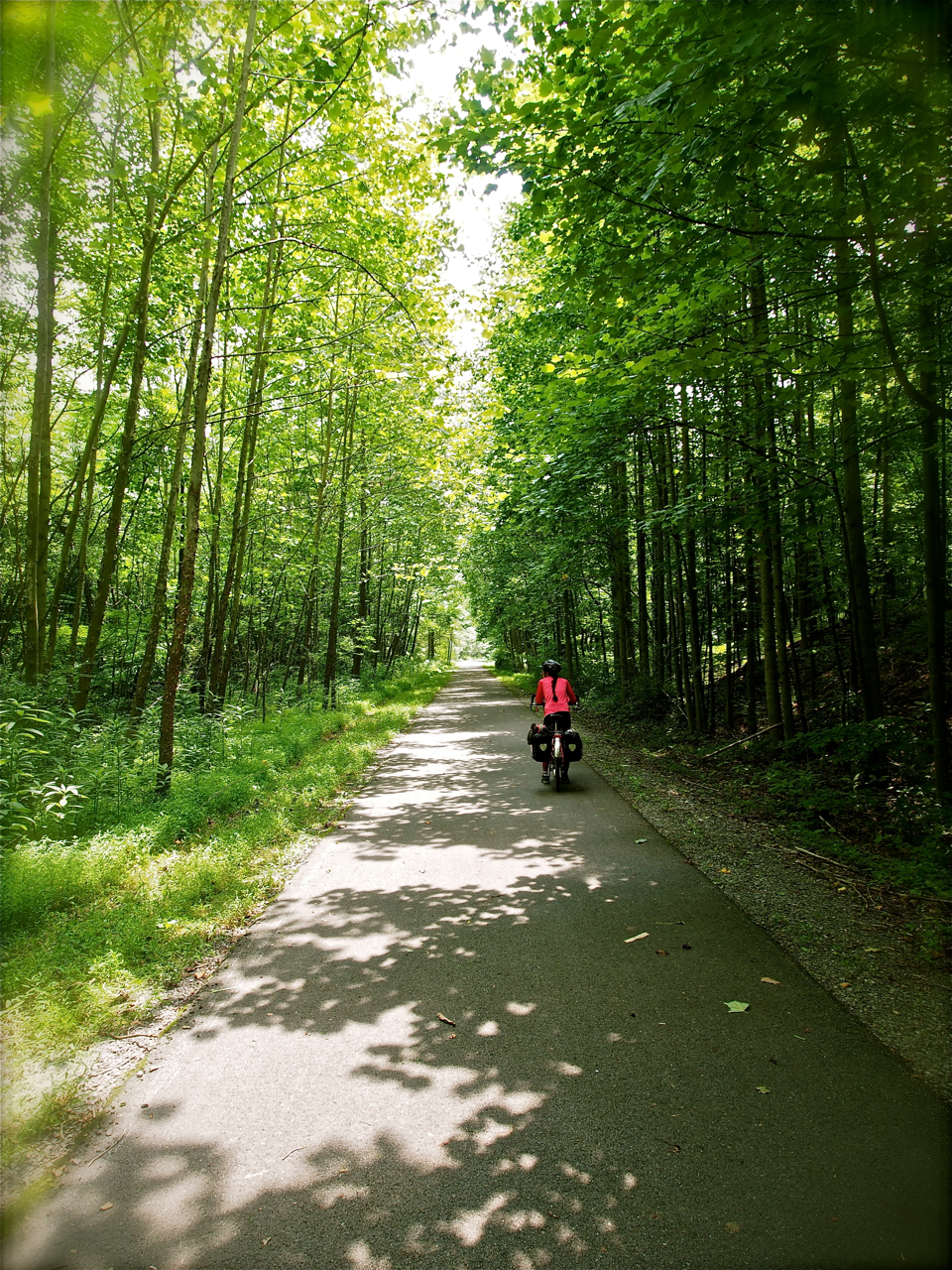
Xenia, Ohio is a crossroads for several longish bike paths. From here, a cyclist can travel northwest to Dayton, north to Springfield, east to Columbus, or southwest to Cincinnati along well-made, well-maintained, and traffic-free bike paths.
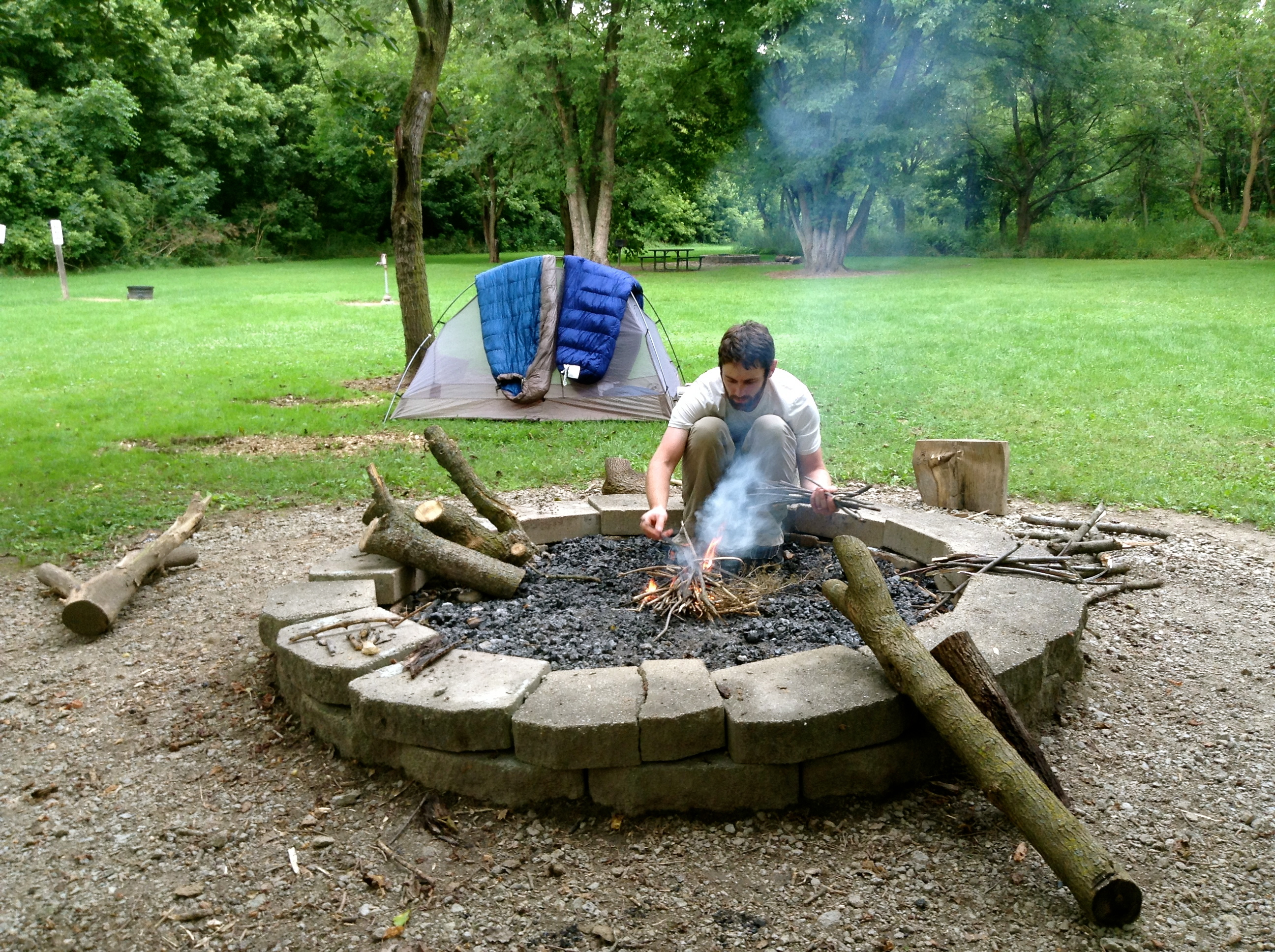
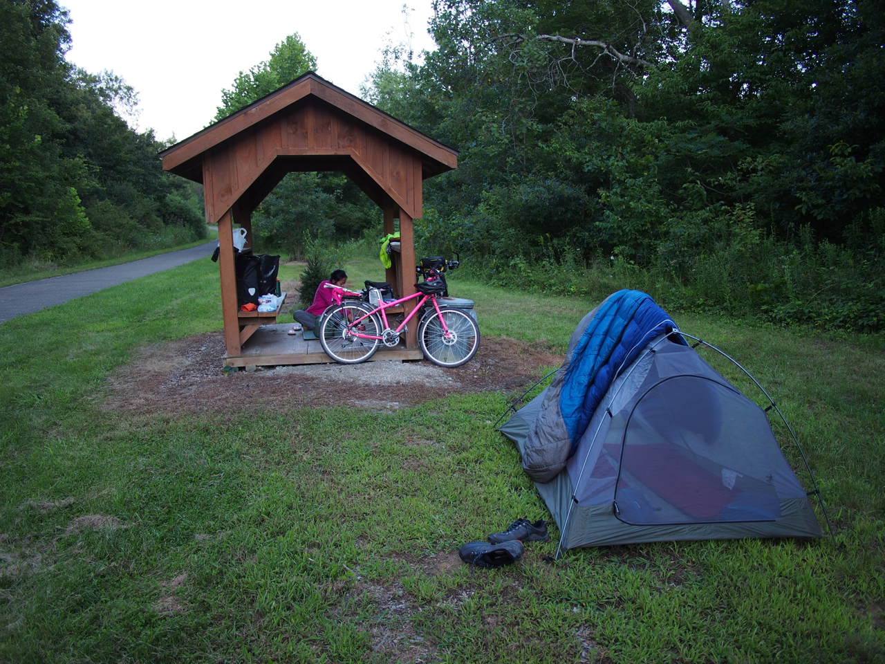
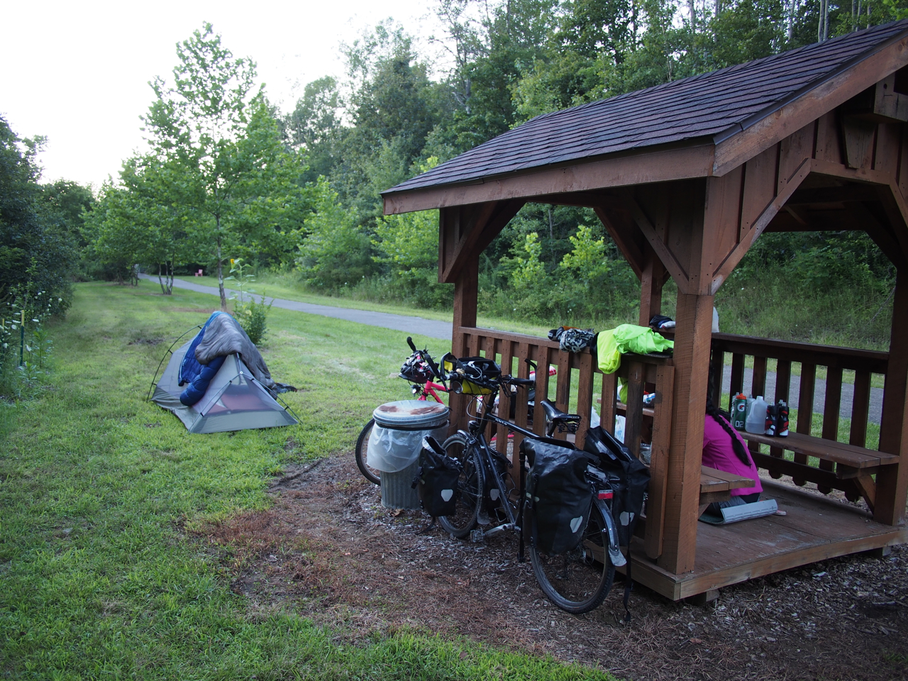
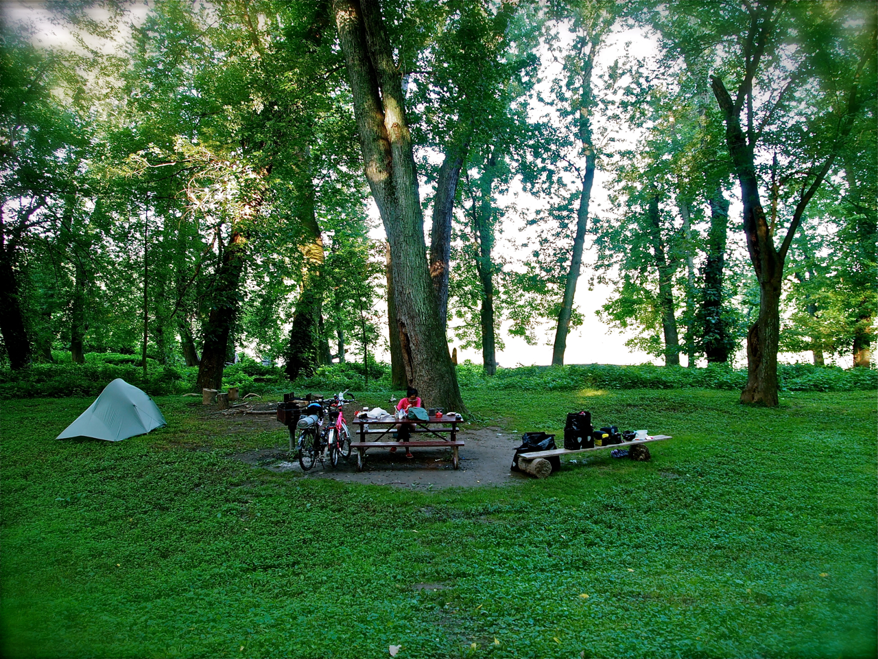
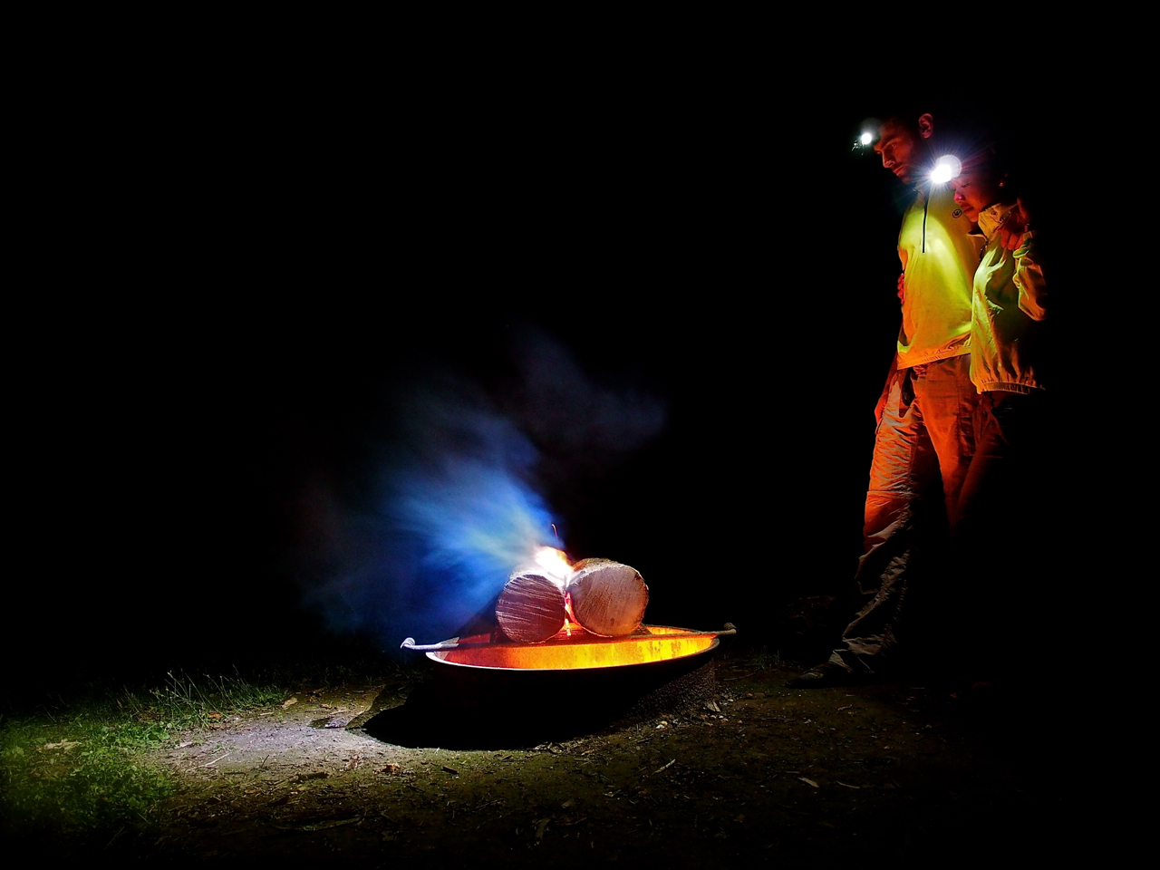
Building a campfire at the very clean and very free Beaver Creek State Park campsite. The site is stocked with firewood and only a hundred yards off the Xenia-Dayton bike path. The bathroom in the adjacent park is sponge-bath-worthy.

Building a campfire at the very clean and very free Beaver Creek State Park campsite. The site is stocked with firewood and only a hundred yards off the Xenia-Dayton bike path. The bathroom in the adjacent park is sponge-bath-worthy.
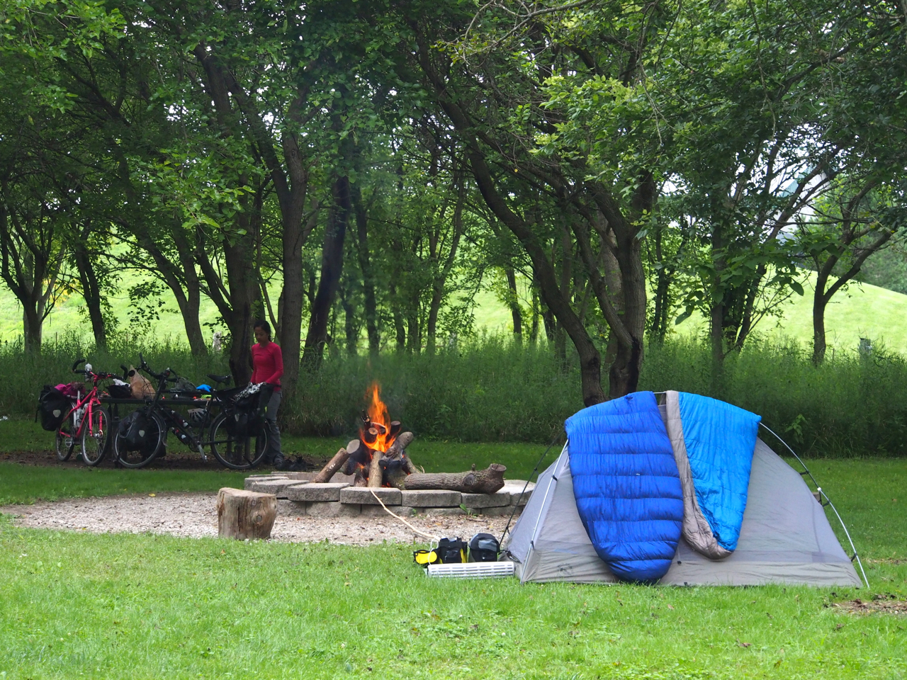
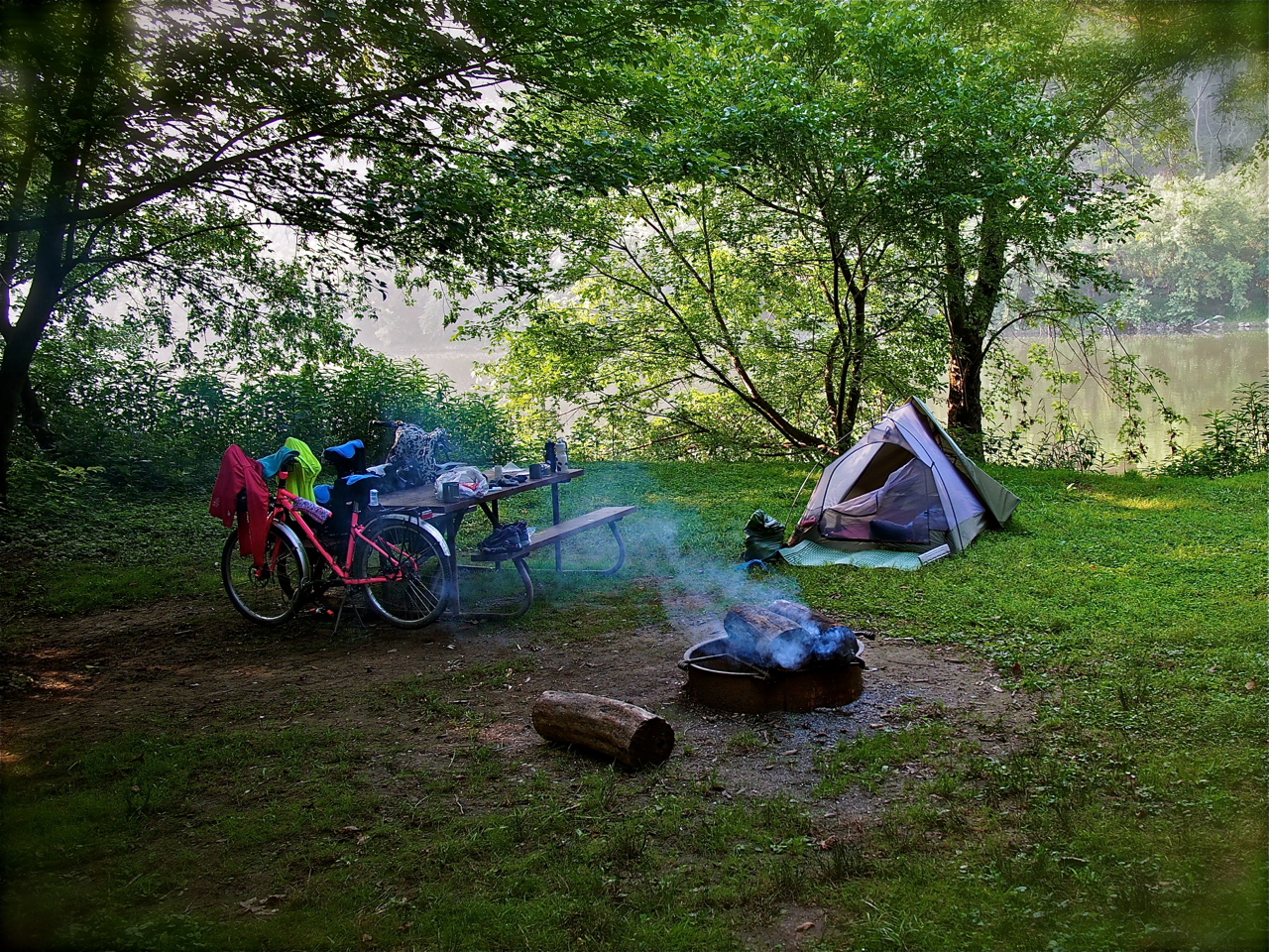
The very clean and very free Beaver Creek State Park campsite. The site is stocked with firewood and only a hundred yards off the Xenia-Dayton bike path. The bathroom in the adjacent park is prime sponge-bath territory.
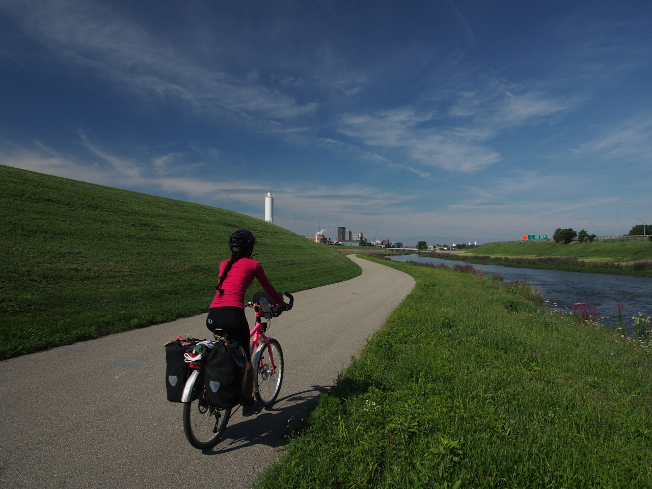
Approaching Dayton, Ohio. FYI: the google maps bicycle directions heading west from Dayton will take cyclists through the heart of Dayton’s gangland territory. Police recommend following 3rd street west from downtown and past the National Cemetery before turning south/southwest. That is what we did…
This smelly stretch of road was the final resting place of a very large vulture (on left side of road in background) and a festering dog carcass (in the grass to the right). Near Eaton, Ohio.

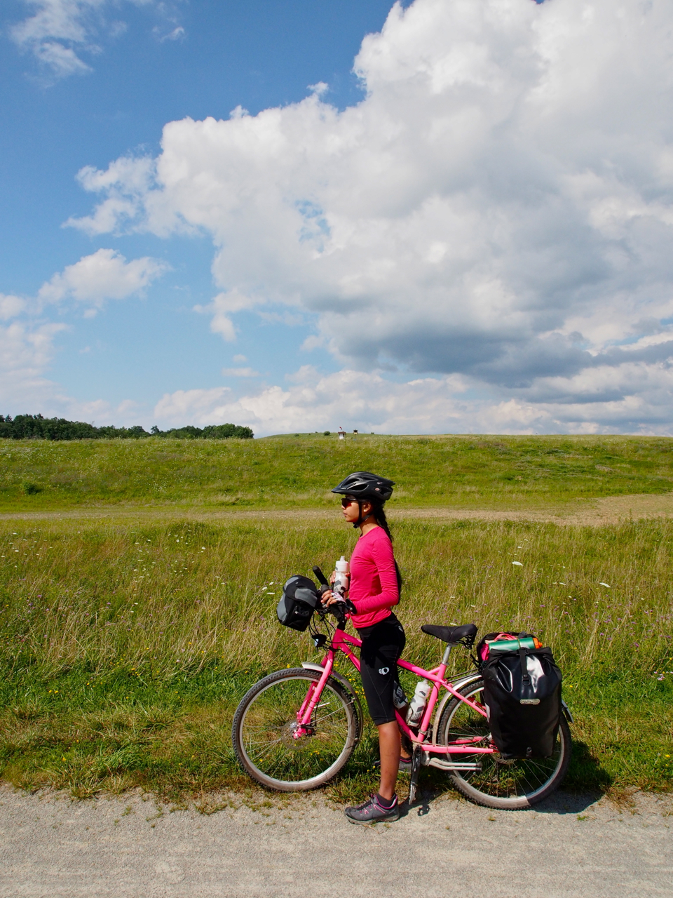
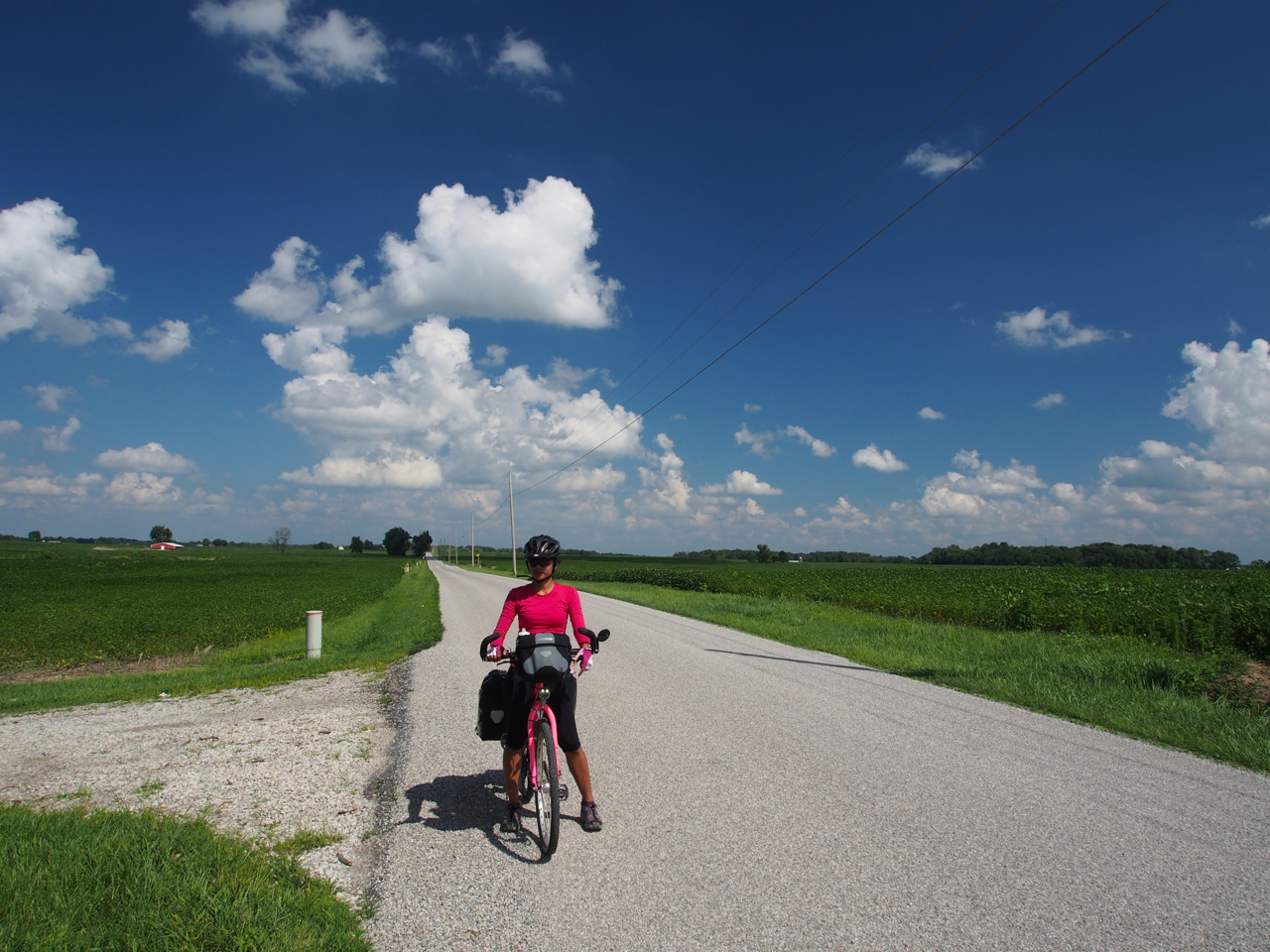
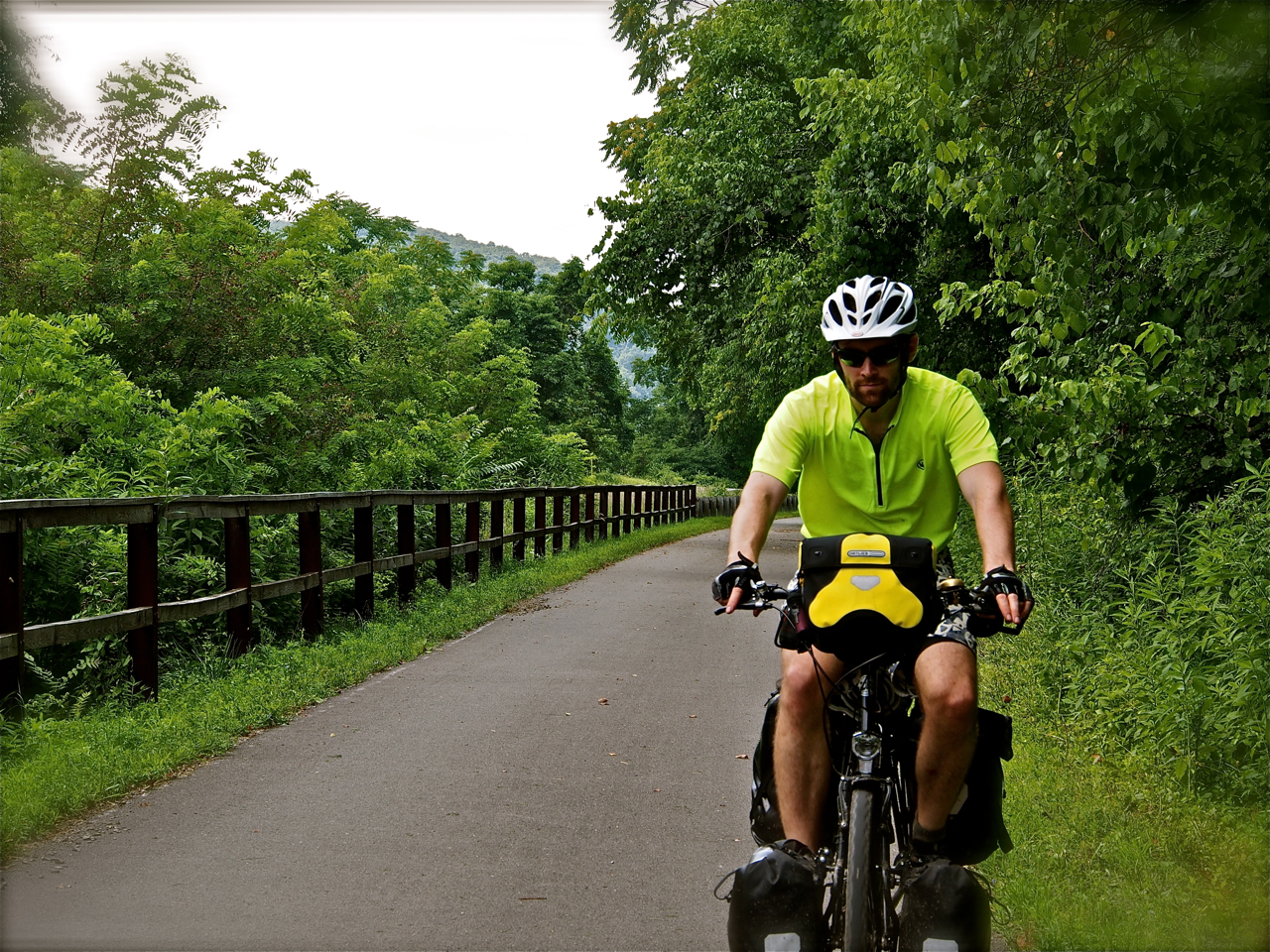
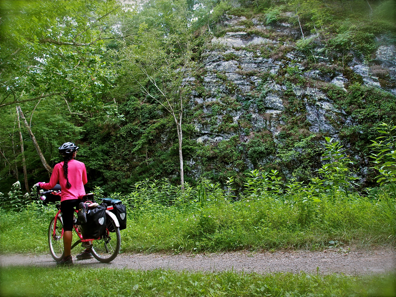
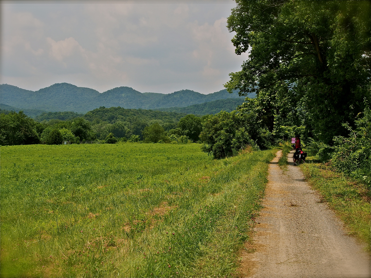
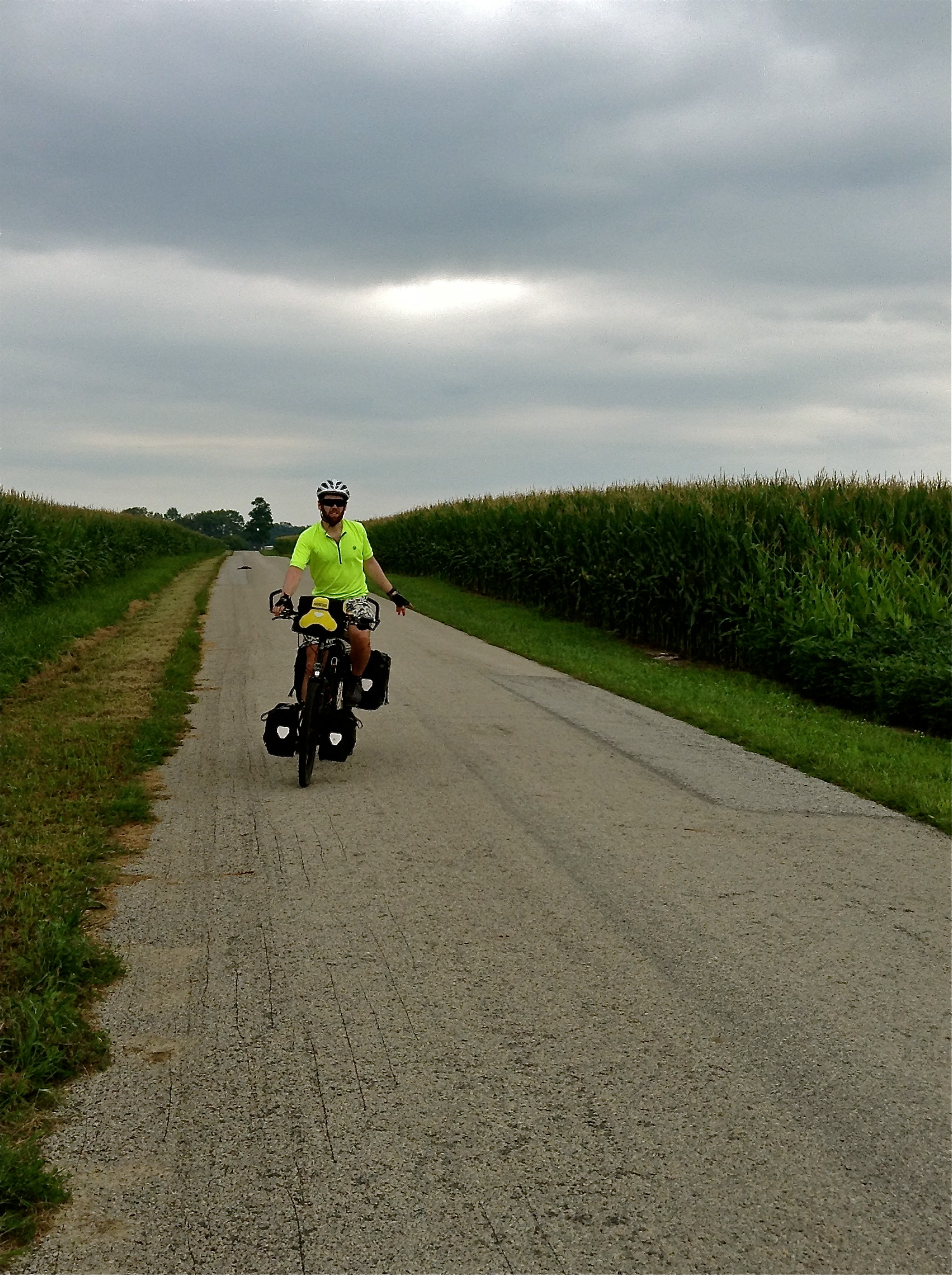
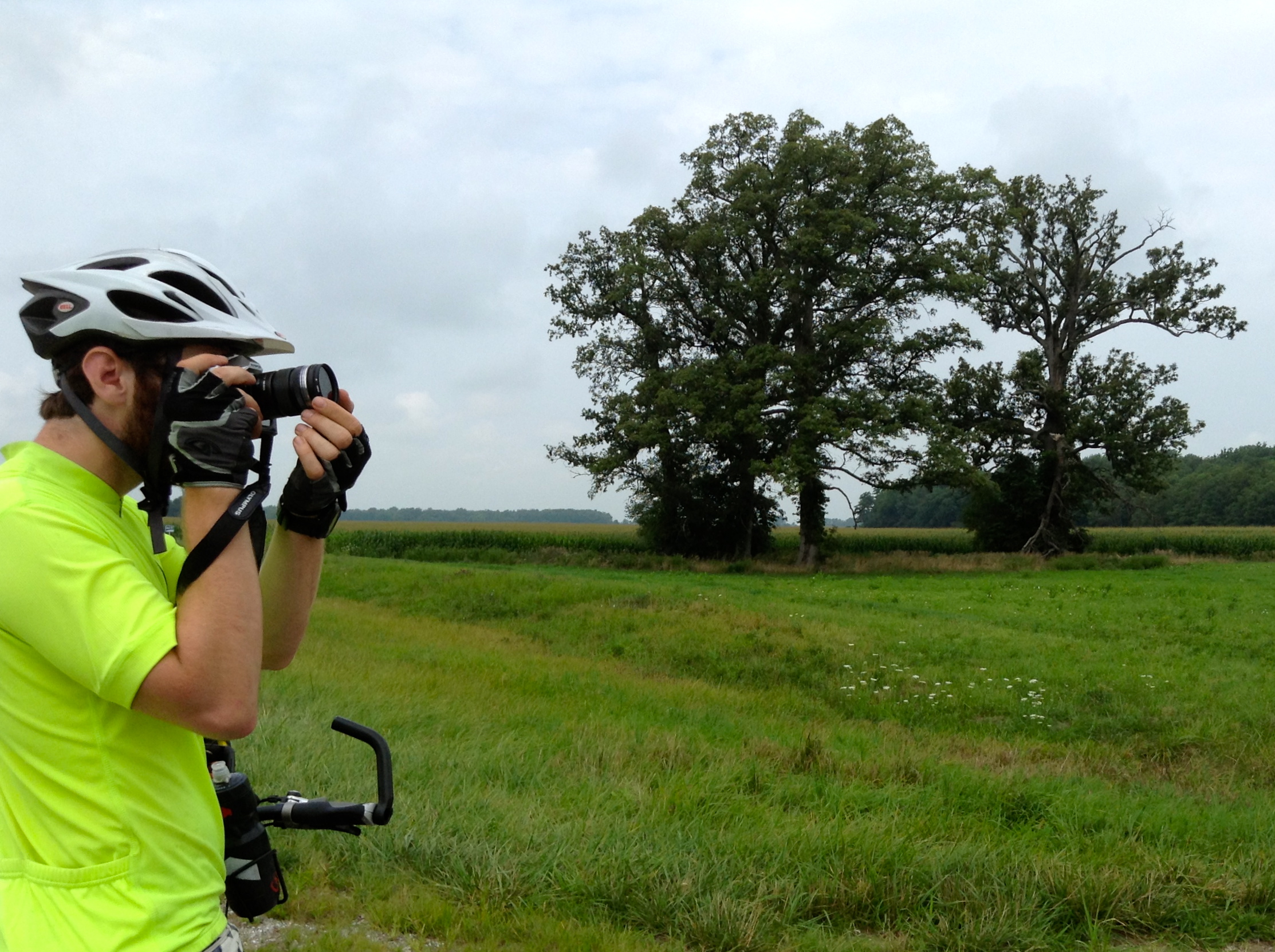
Approaching the Ohio-Indiana border. Coastal folks beware: the mid-west is much more hilly than you would expect.
Riding along State Line Rd. Ohio on the left, Indiana on the right
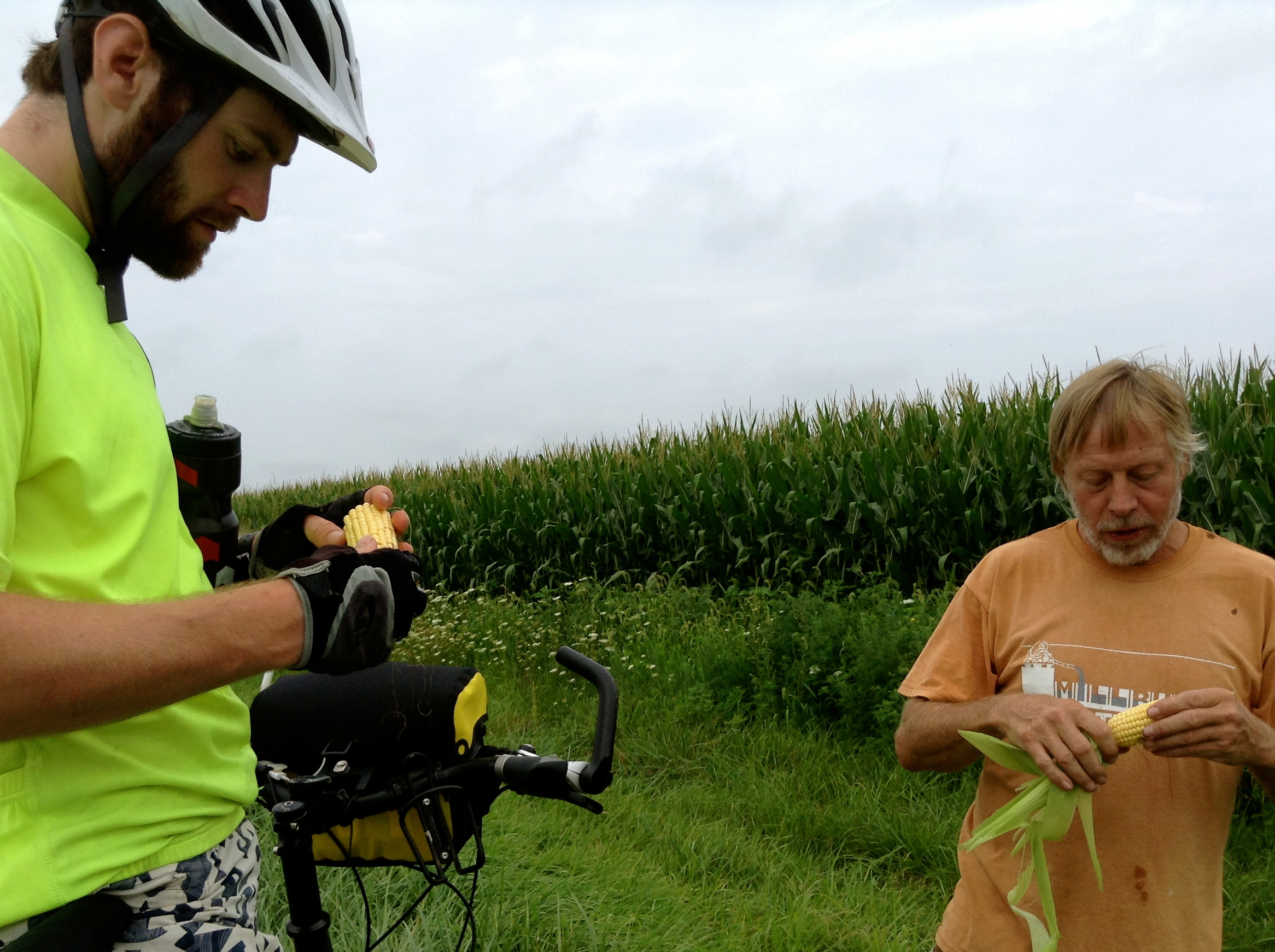
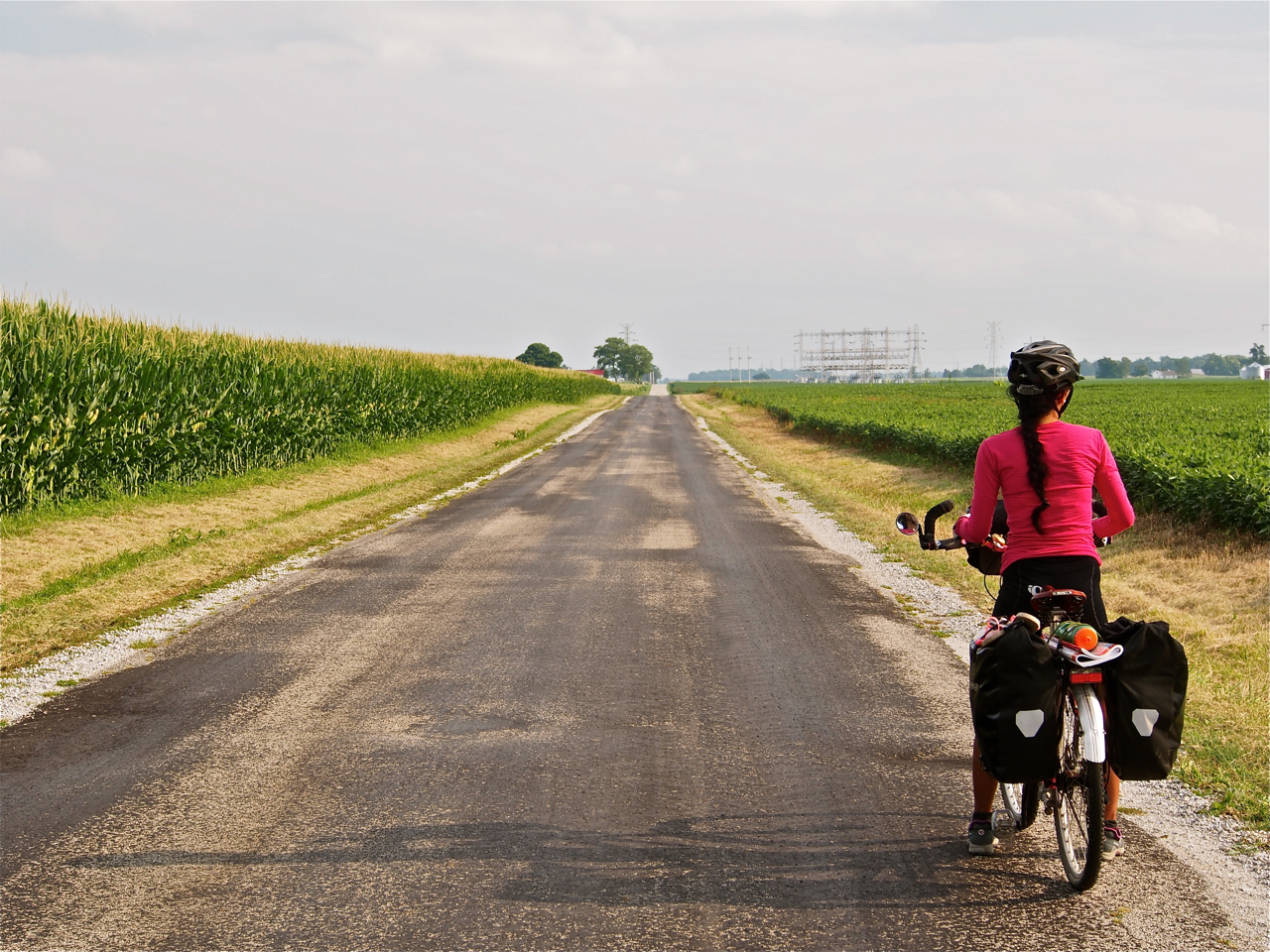
Enjoying an ear of raw feed corn on the side of the road with a local farmer outside Rushville, Indiana.
Outside Rushville, Indiana
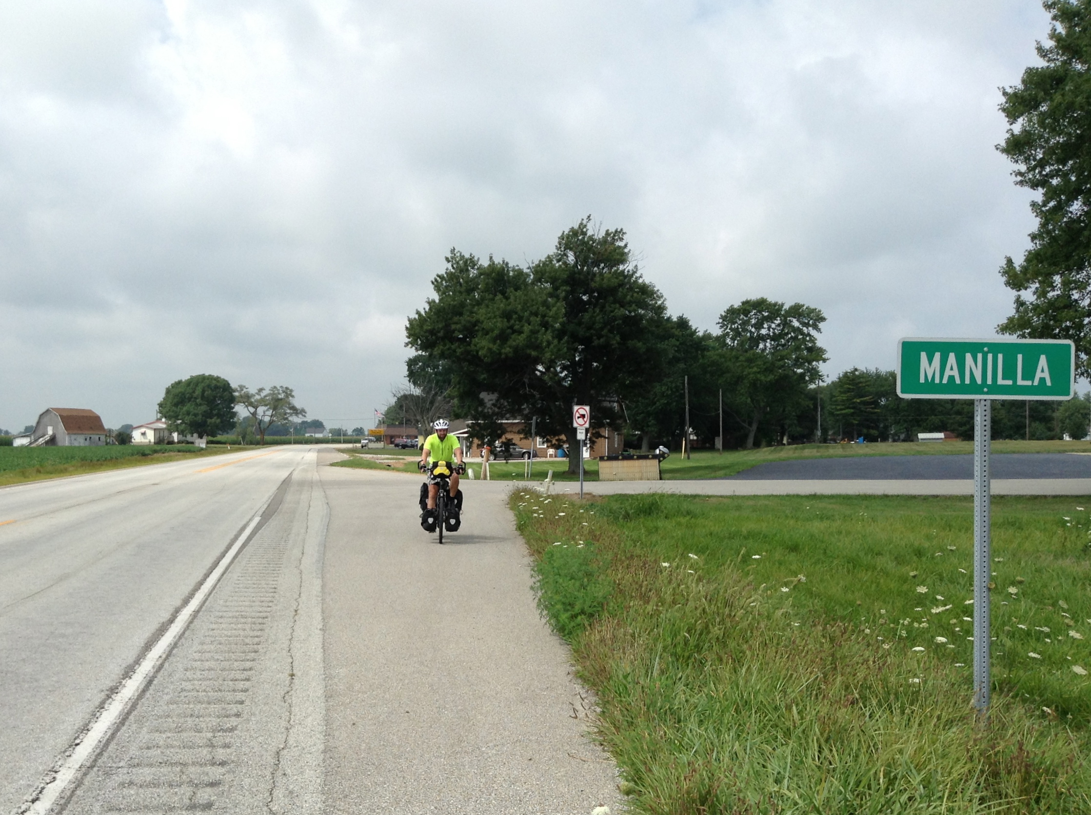
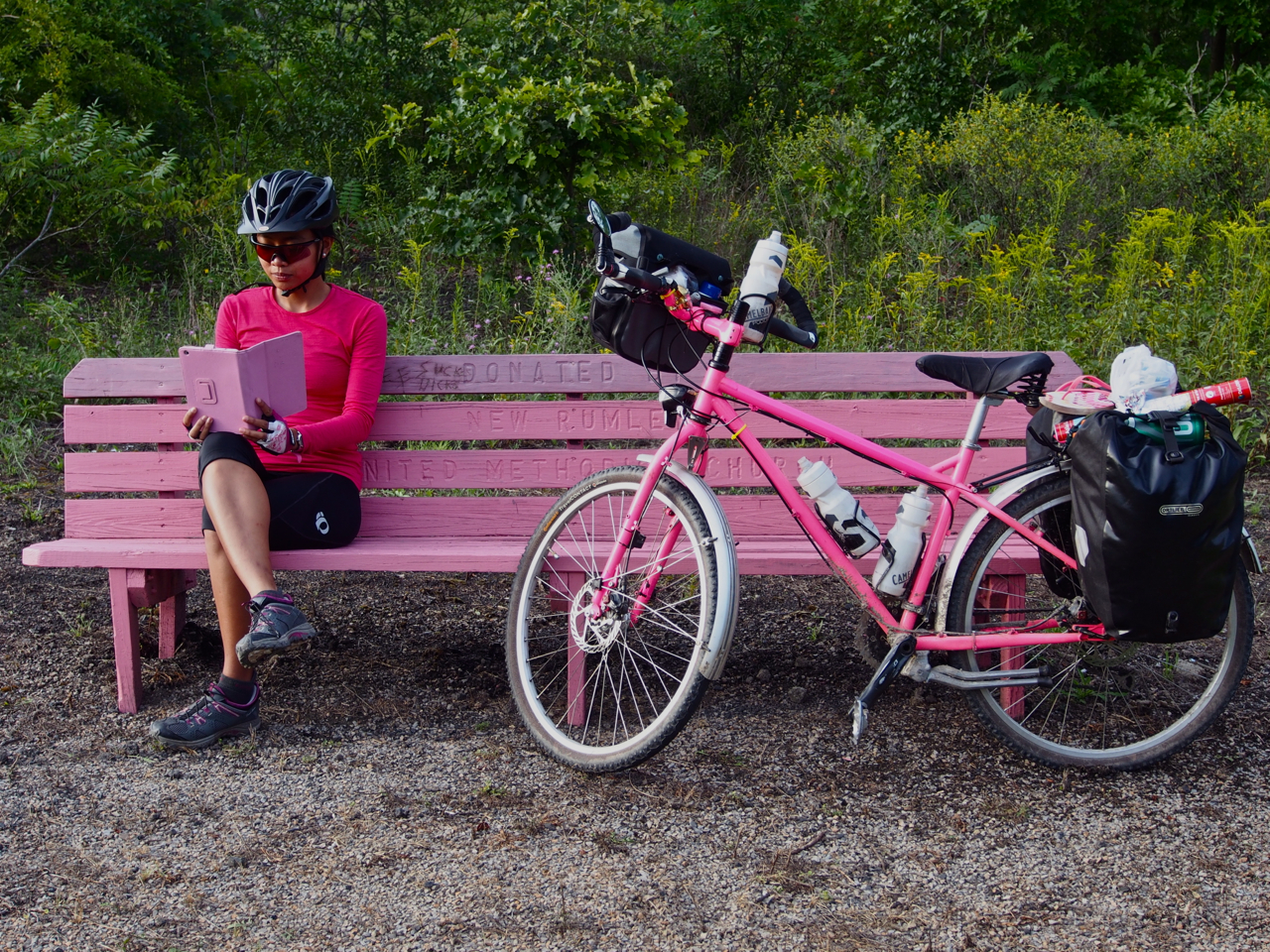
Manilla…Indiana

Hanging out with Lord Beasley and his burrito in Bloomington, Indiana
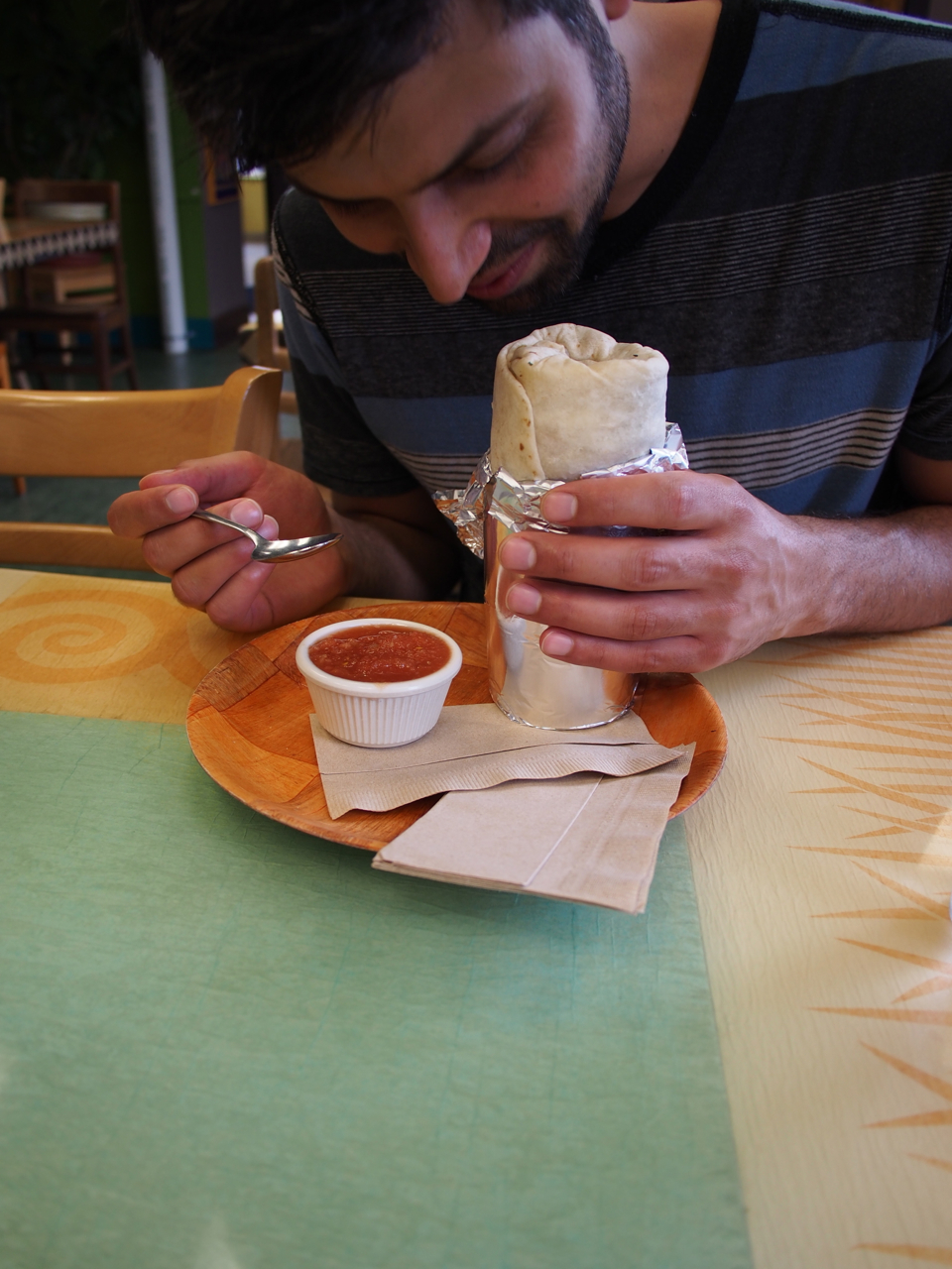
Lord Beasley sniffing his burrito. Bloomington, Indiana

Burrito in a bowl. Adulterating the guacamole with sour cream is a brilliant cost-cutting measure. Bloomington’s burrito peddlers are an unscrupulous bunch.
Statistics:
August 4: Westerville, OH to Madison County Fairgrounds, London, OH, 46.26 miles in 4 hours and 58 minutes
August 5: Madison County Fairgrounds, London, OH to Beaver Creek State Park, OH, 40.58 miles in 3 hours and 58 minutes
August 6: Beaver Creek State Park, OH to White Water Memorial State Park, IN, 66.49 miles in 7 hours and 39 minutes
August 7: White Water Memorial State Park, IN to Rushville, IN, 33.08 miles in 3 hours and 50 minutes
August 8: Rushville, IN to Franklin, IN, 35.03 miles in 3 hours and 46 minutes
Total miles: 221.44 miles