Utah is generally lower altitude and warmer than Colorado. Summer temperatures regularly break into the triple digits in southern Utah, but things begin to cool off in September. By the time October arrives the weather is perfect for cycling.
With that in mind–and with the threat of wintery conditions behind us in Colorado–we set a leisurely pace in the Beehive State. A week spent lounging around Moab was followed by a day exploring Staircase Escalante National Monument by car with a friend, and then a couple days resting in St. George. Between those breaks we covered fewer miles, too, averaging only 48.19 miles per day.
As it turns out, Utah was a great place to linger. The landscapes were the best we’ve seen yet, and the Utahans we encountered were some of the most interesting, active, and welcoming people we’ve ever met, anywhere.
Here are some images and stories about the people and landscapes we happened upon in The Finest State in the Union…
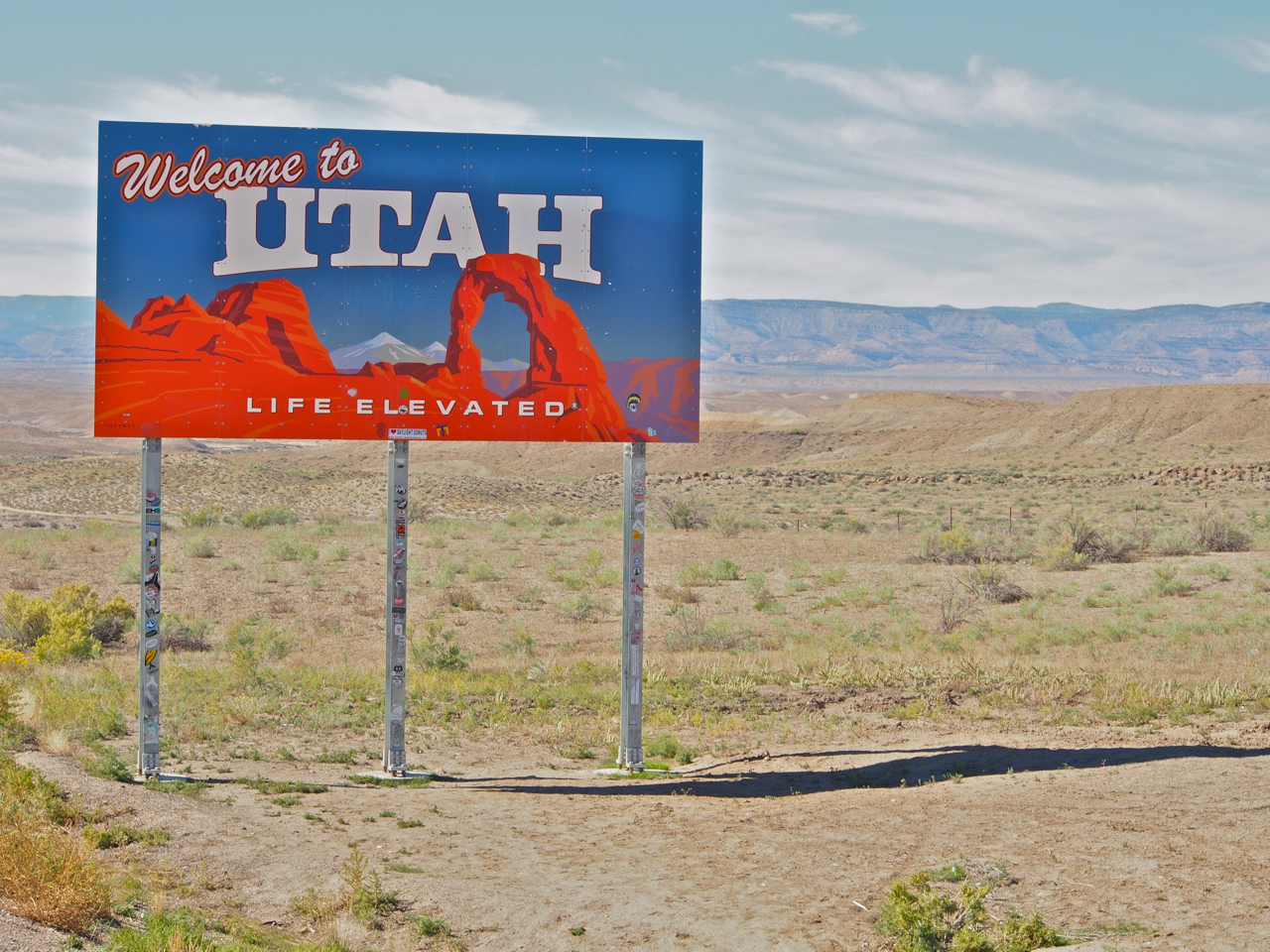
The Department of Transportation’s rendering of Utah’s red rock country.
The only high-mileage day in Utah was our first day in the state. We rode almost 75 miles from Grand Junction, CO to a campsite about 40 miles from Moab. We arrived in the dark, and left late the next morning thinking we’d have an easy ride into Moab…
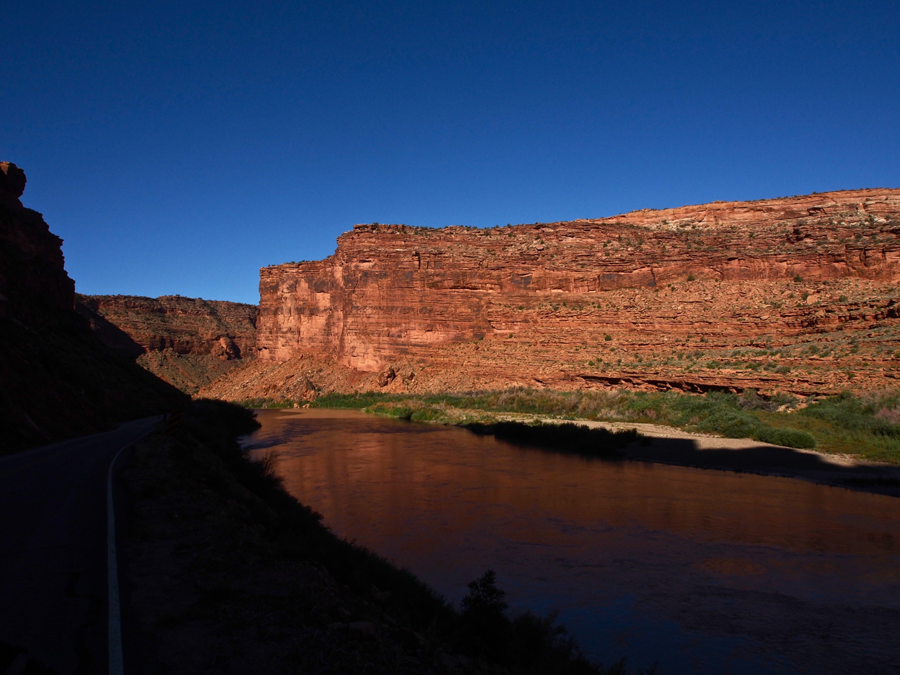
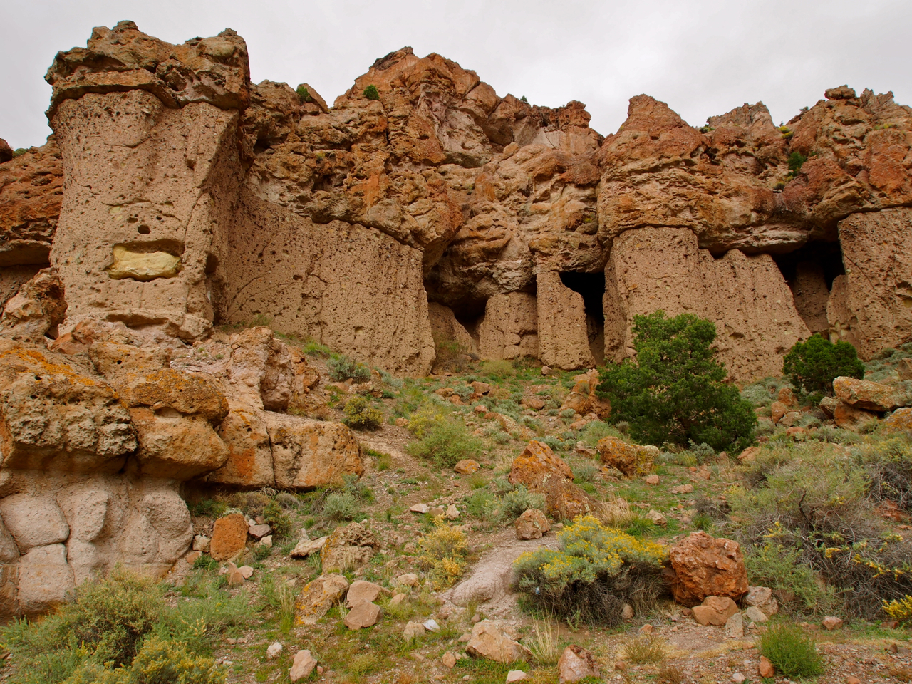
The ride to Moab was incredibly scenic. The road wound through a red rock canyon, hemmed in between the Colorado river on one side and sheer ruddy cliffs on the other.
Traffic was light, too. It would have been a mellow introduction to southern Utah…if it weren’t for the blistering headwind that began howling through the canyon 30 minutes into the ride.
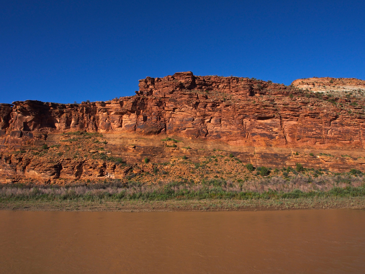
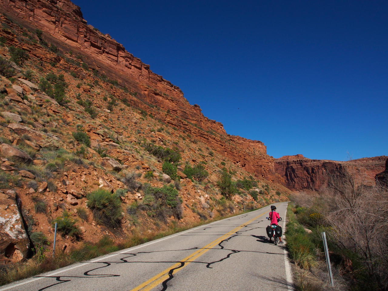
At this point, we were still able to appreciate the scenery, despite the headwind.
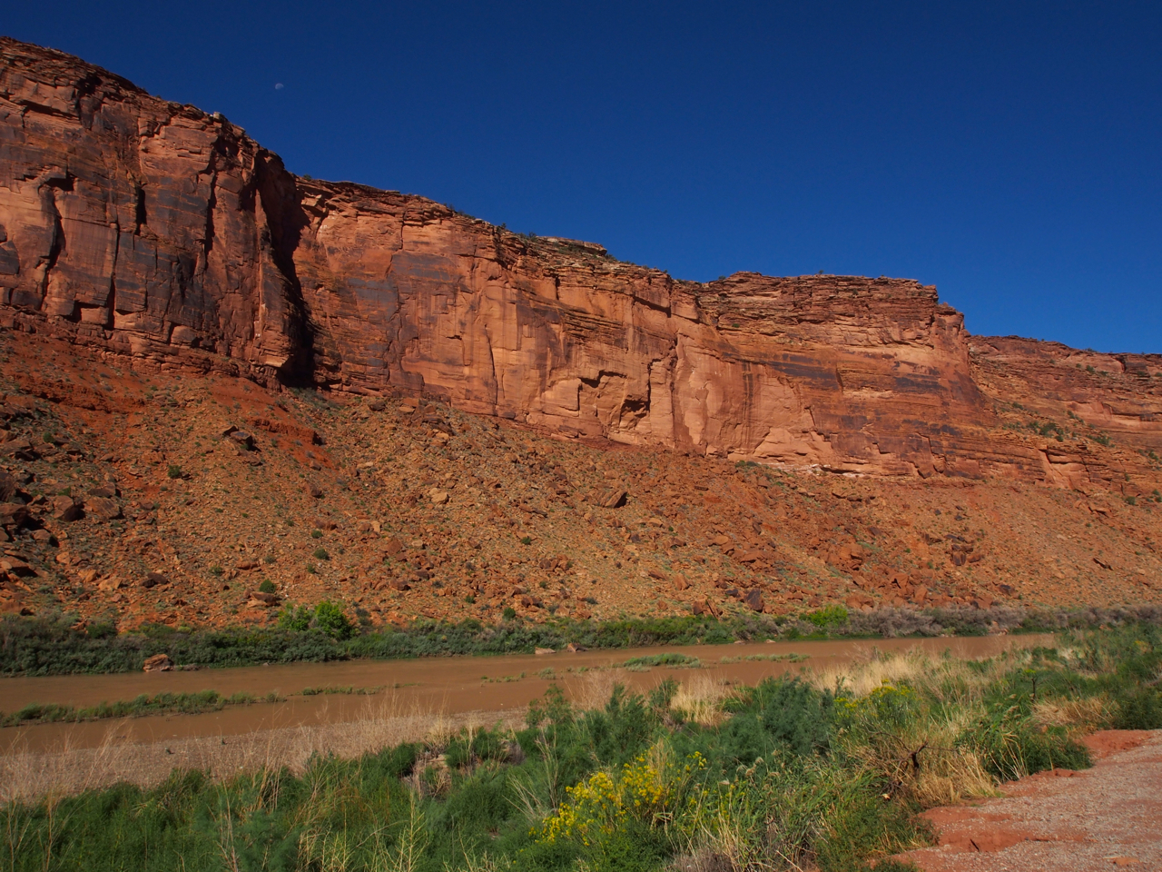
As the day wore on, however, moral began to plummet and we found it harder and harder to appreciate our surroundings.

Breathtaking
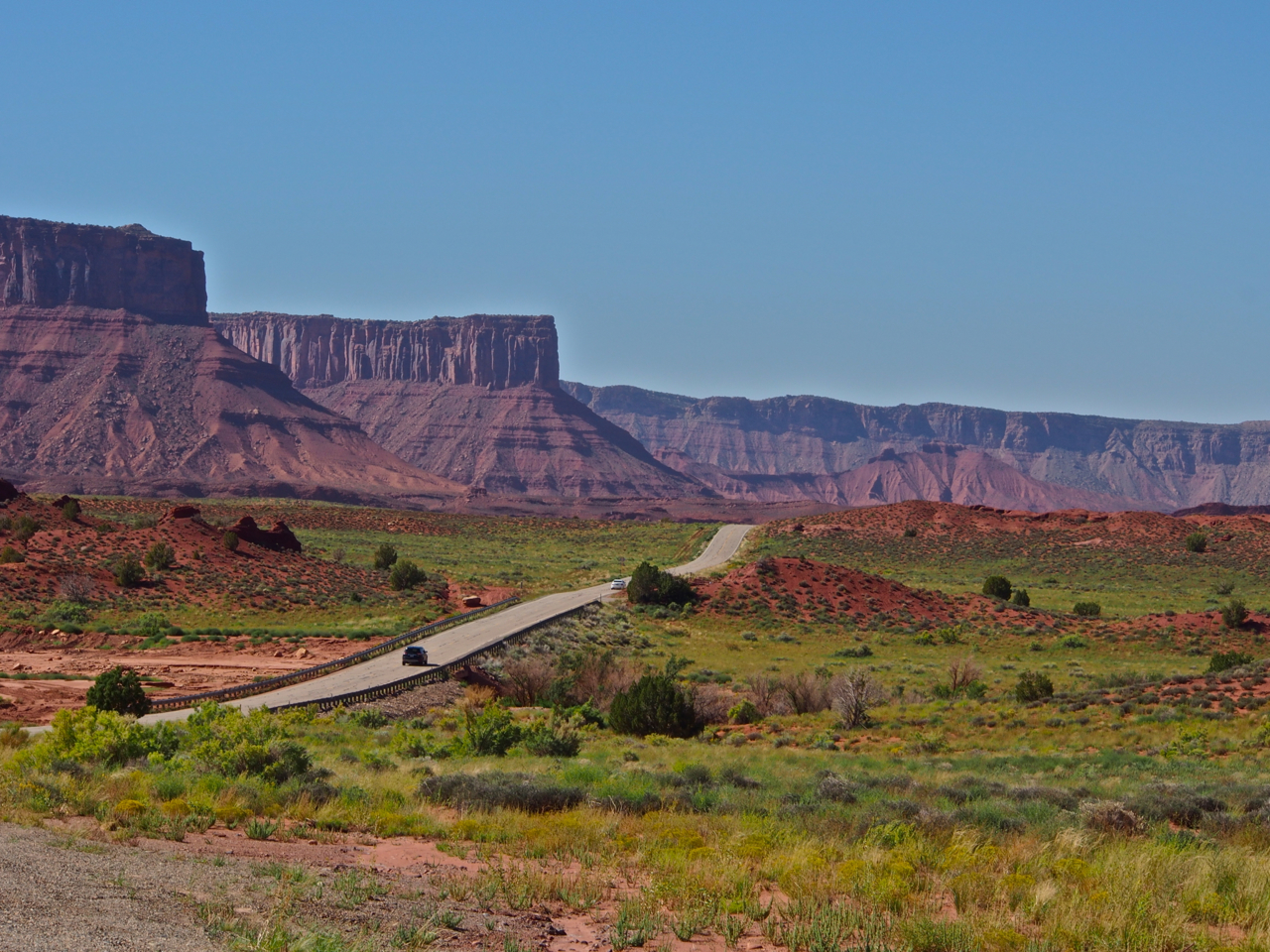
Closing in on Moab…
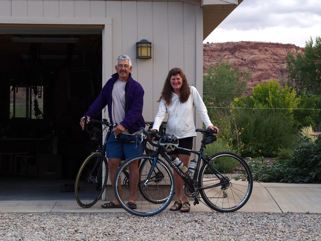
In Moab we stayed with our favorites: John and Barb. These two made our time in Moab the best days of the trip.
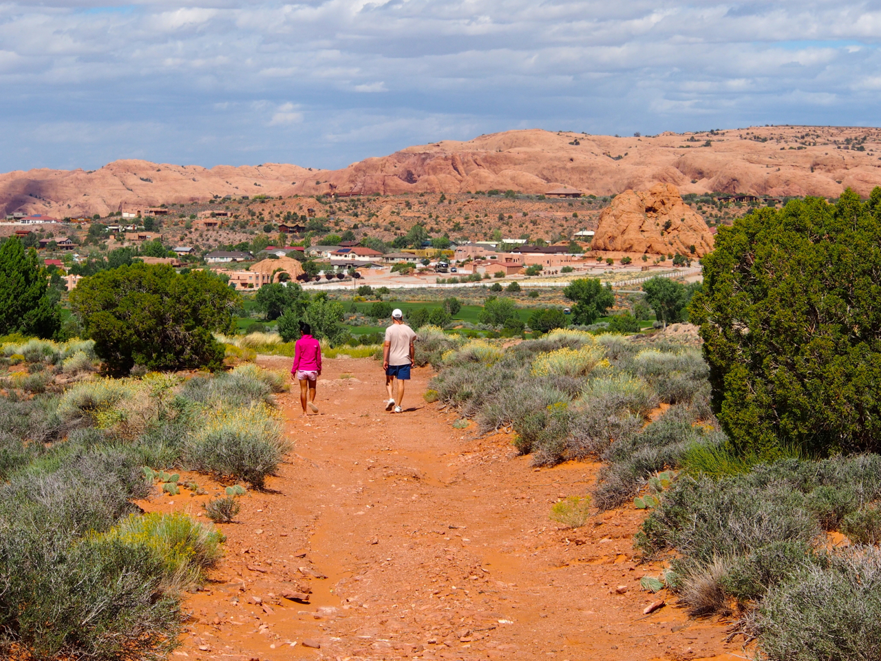
John took us on a hike to the red rock cliffs behind his house.
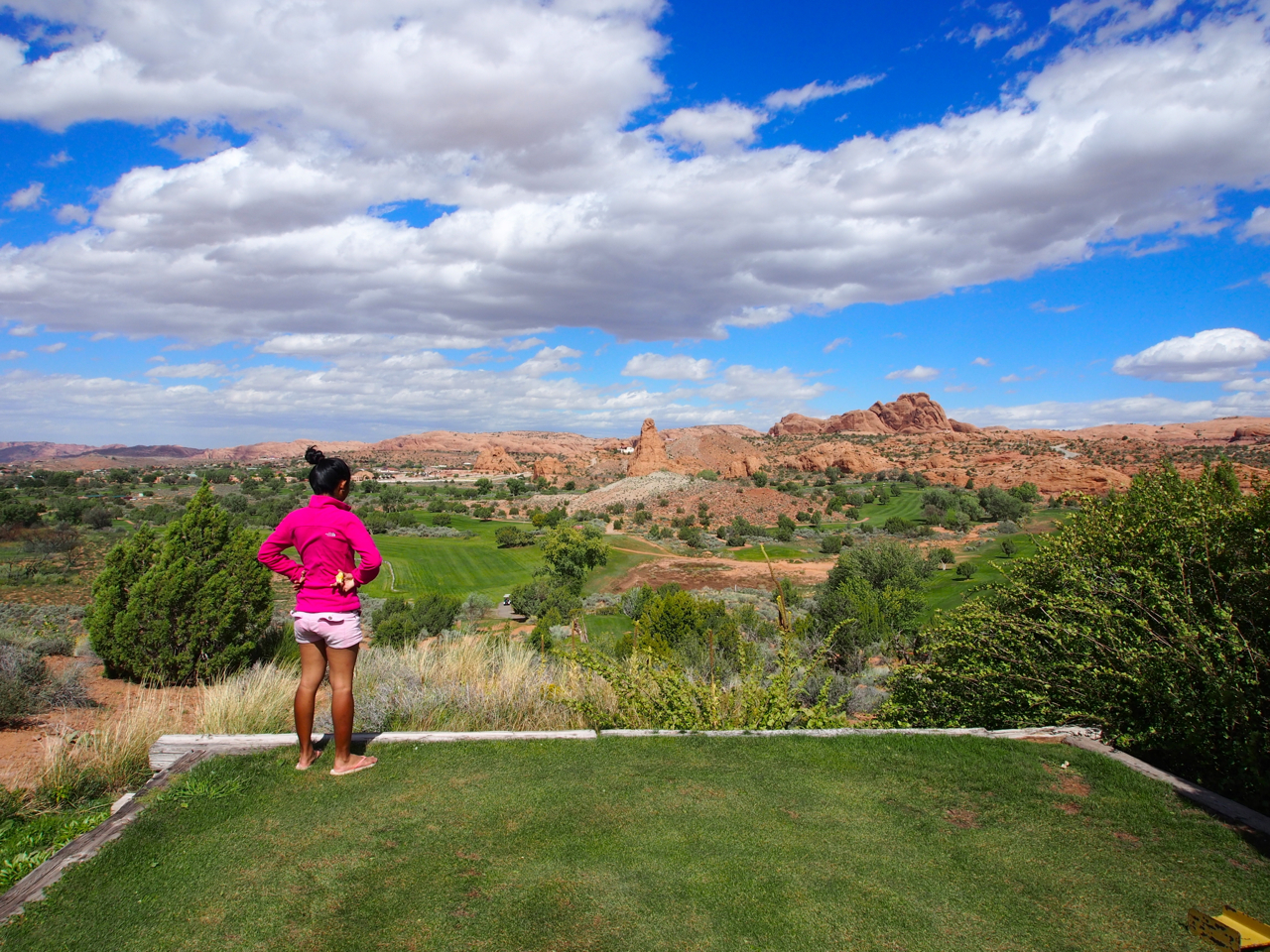
We skirted a golf course on the way to the cliffs.
This scene is a ten minute walk from John and Barb’s door. It’s hard to not be jealous.

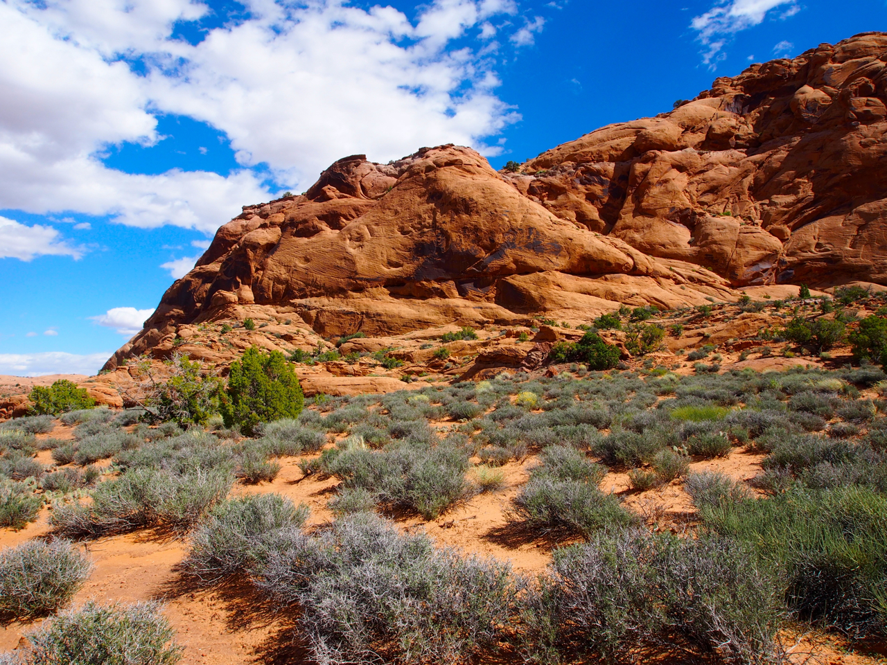
Approaching the base of the cliff.
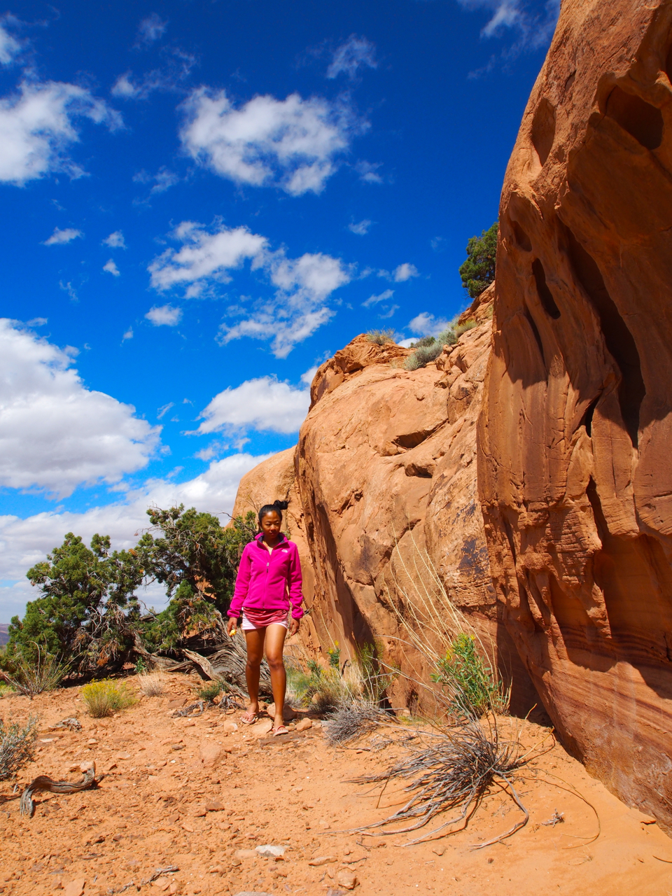
Here’s Eyna picking her way through a very thorny and rocky environment…in flip-flops and short shorts.
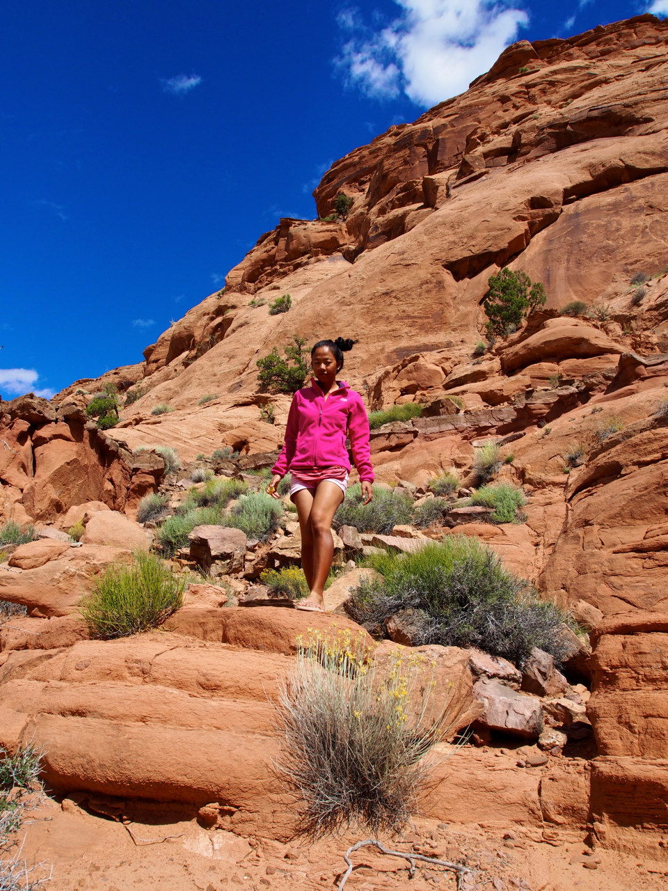
Hiking shoes are just too bulky, she says.
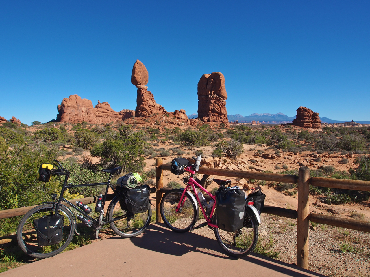
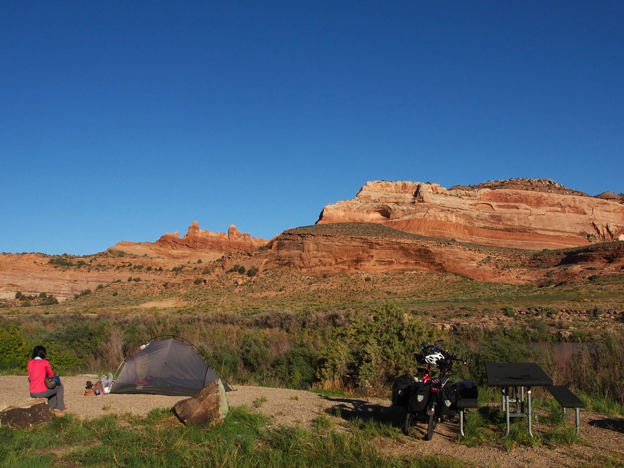
After a couple days in Moab we bid farewell to Barb and John. Our plan was to ride to the town of Green River, about 60 miles to the northwest, but we decided to take a detour when we reached the entrance to Arches National Park.
Most of the sandstone arches aren’t visible from the road. It was already late in the afternoon, so we decided to camp and explore the (surprisingly limited) network of hiking trails for views of the arches the following day.
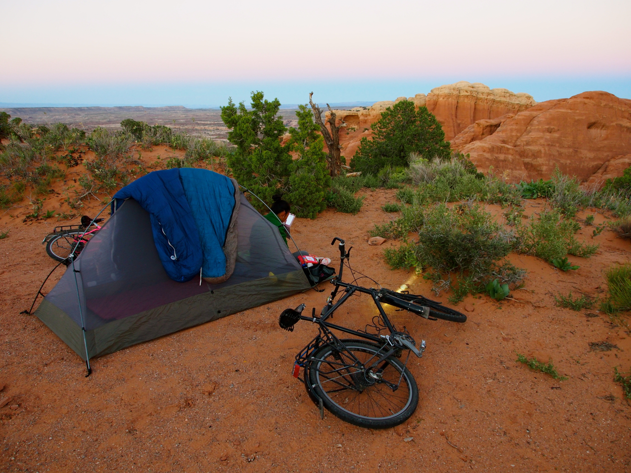
Our campsite in Arches National Park. Not too shabby.
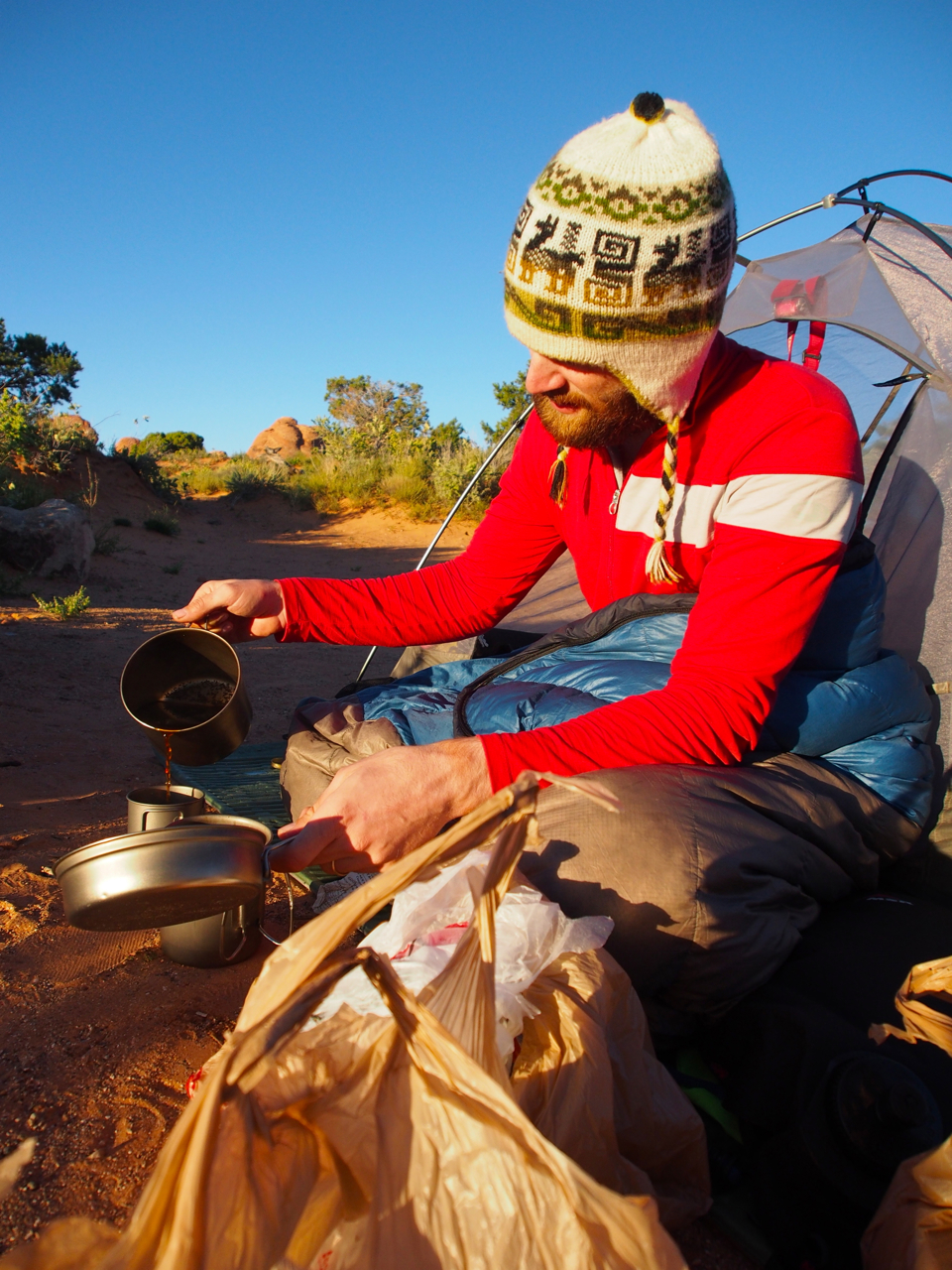
Pouring a cup of the morning brew and thinking about our plans to see some of those famous arches…
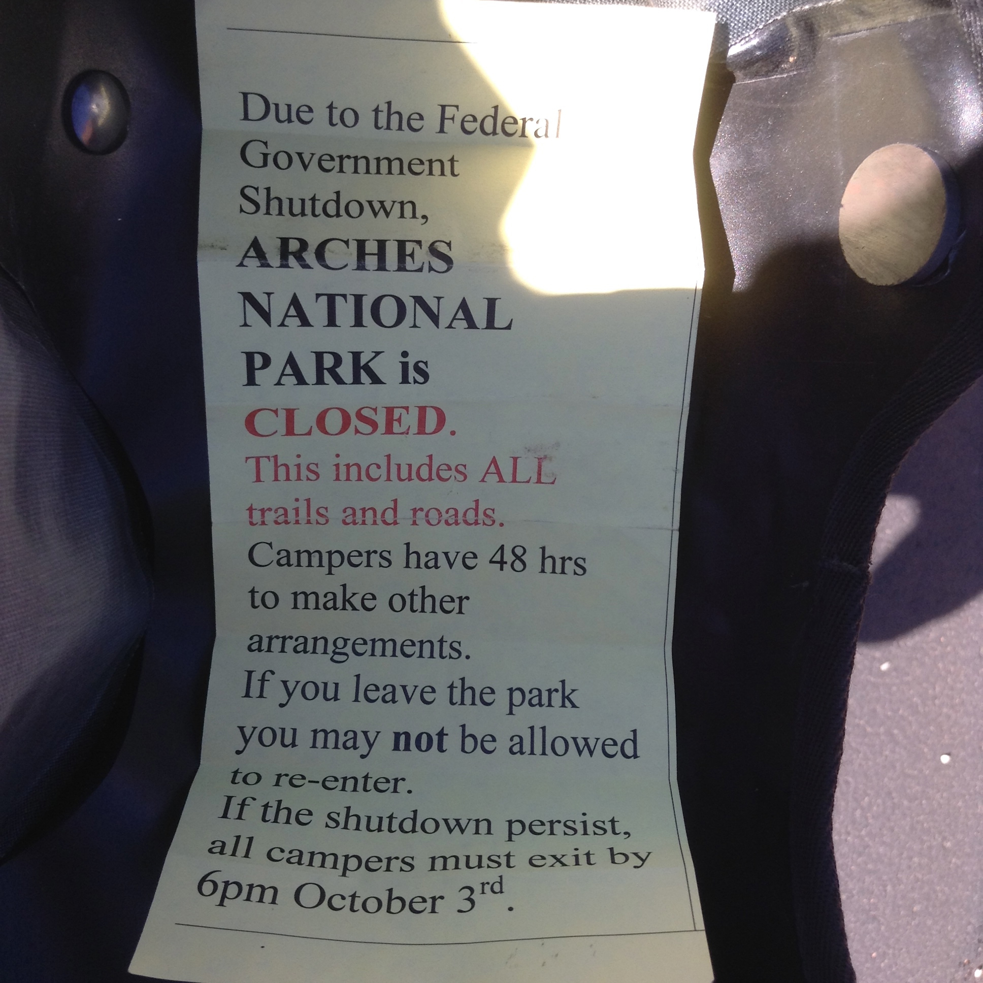
…Awwwww, nuts. A ranger delivered the bad news just as we were breaking camp. The rangers in Arches were unhelpful and unfriendly, too.
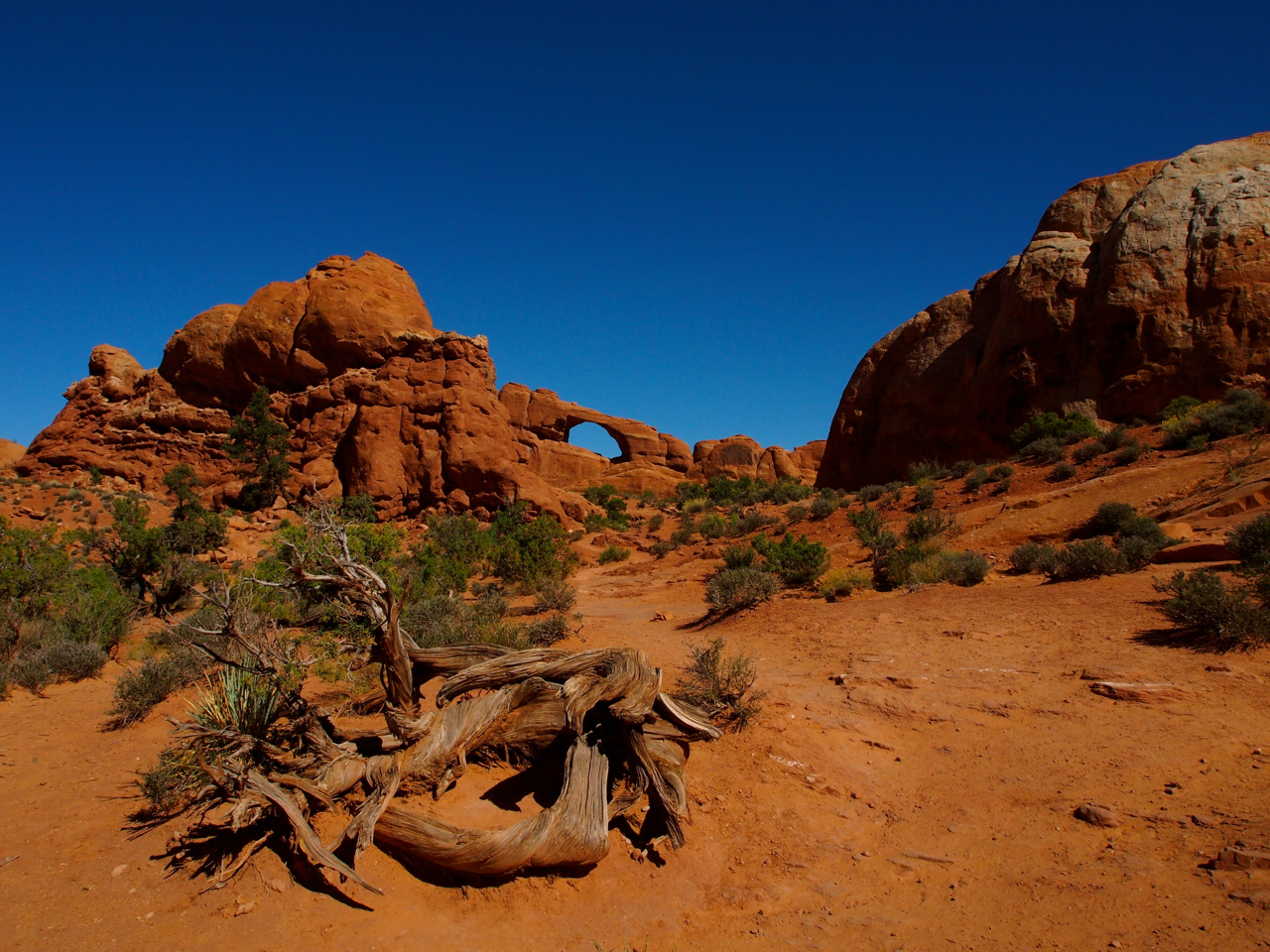
This is the closest we got to an arch on the 25-mile ride back to the park entrance.
Our only photo op.
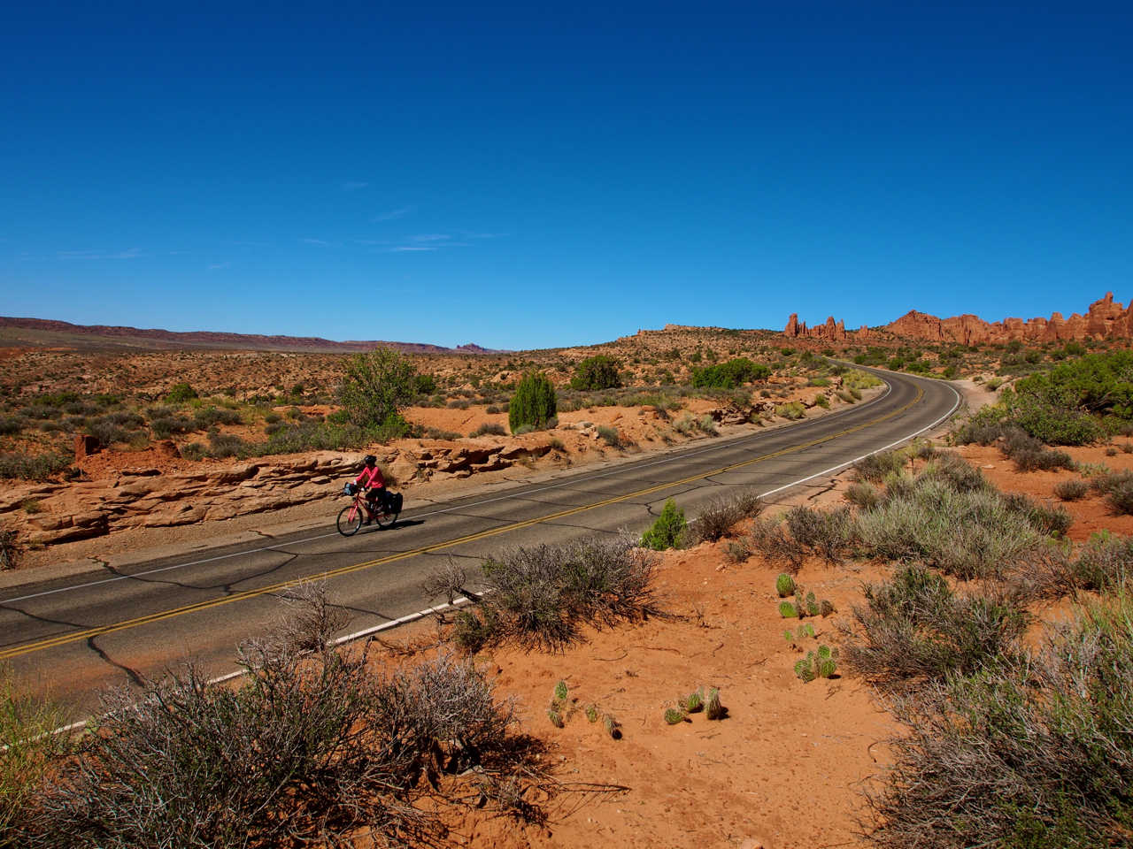
On the upside, the roads in the park were completely traffic-free.
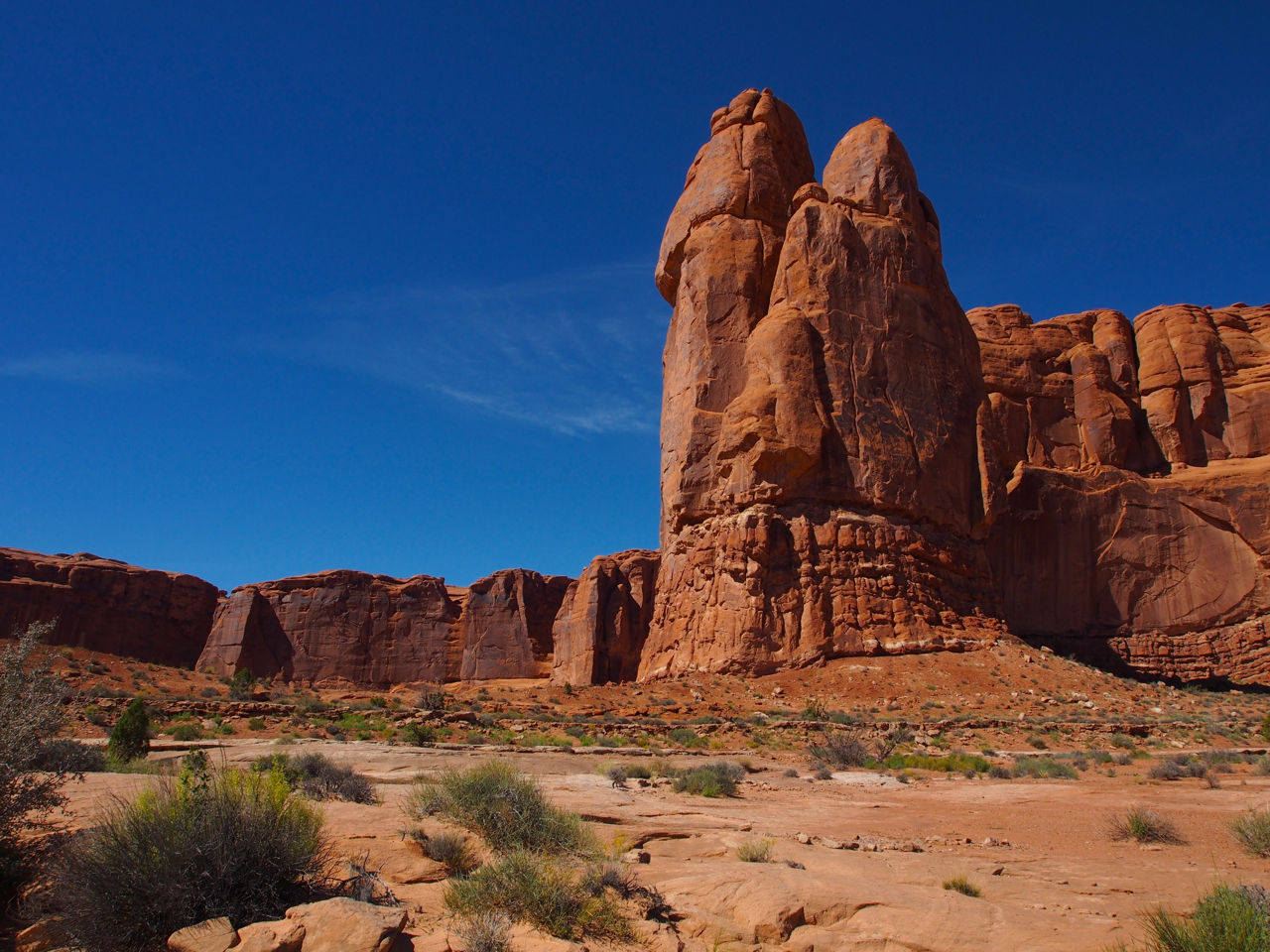
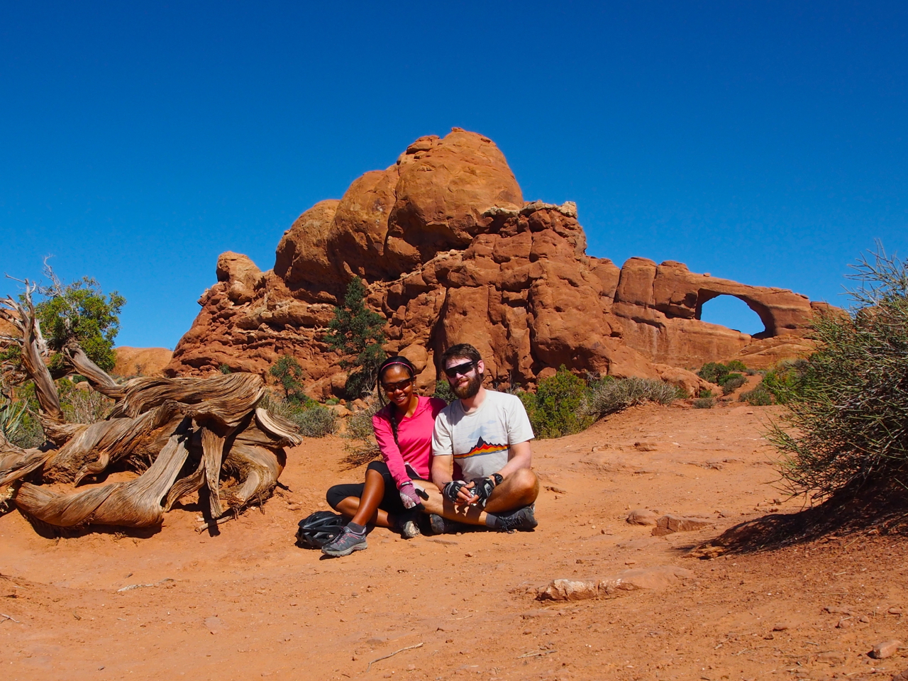
Definitely not an arch, but still impressive…
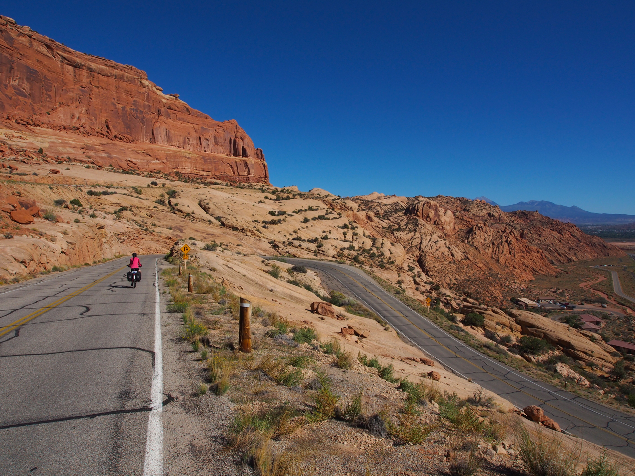
The descent to the park entrance.

Mrs. Madrid-Kane winding her way through switchbacks.
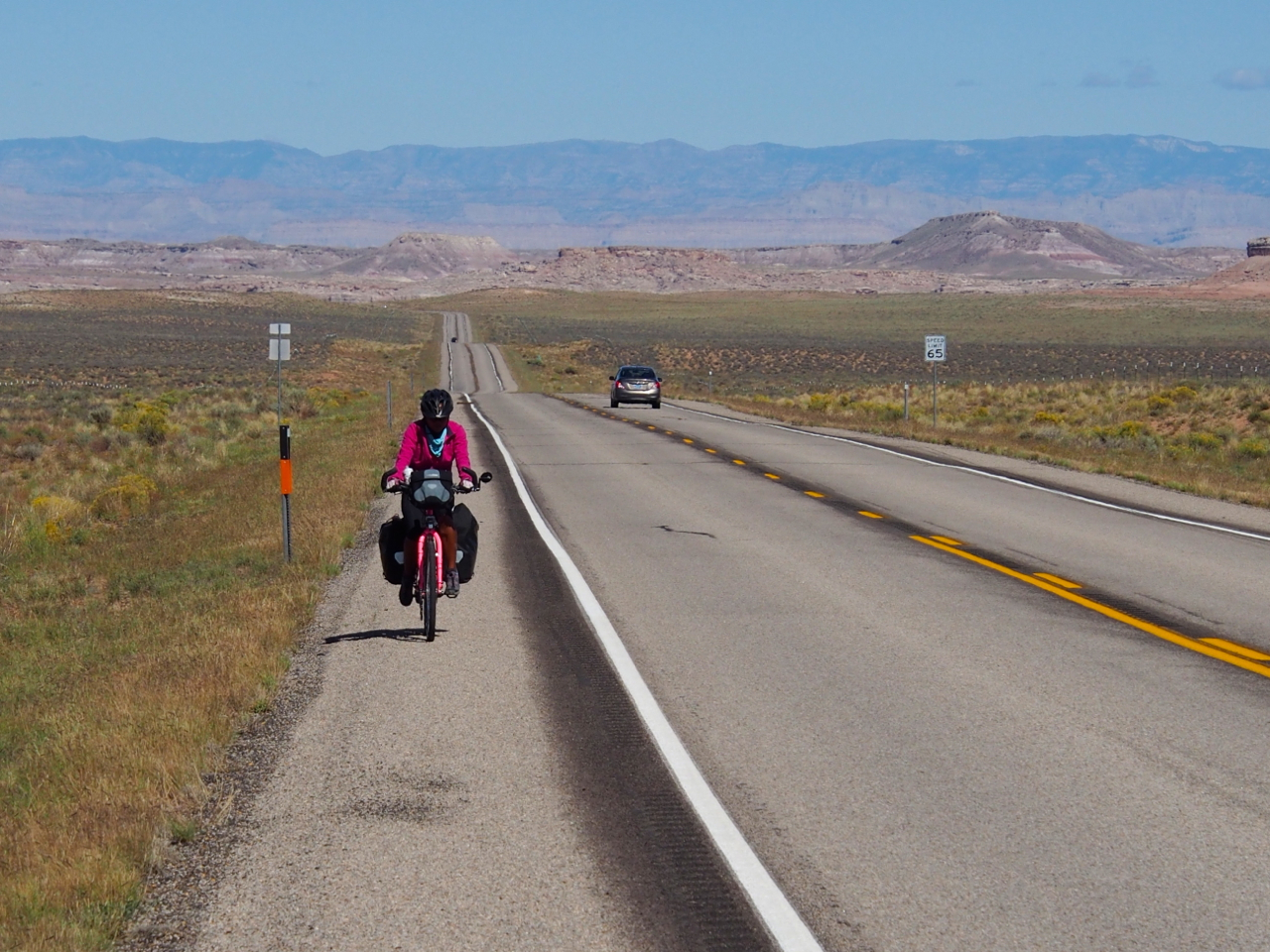
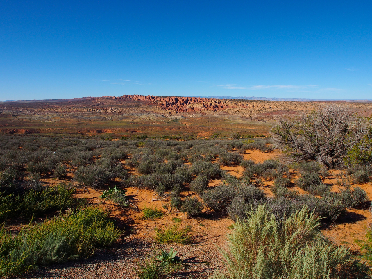
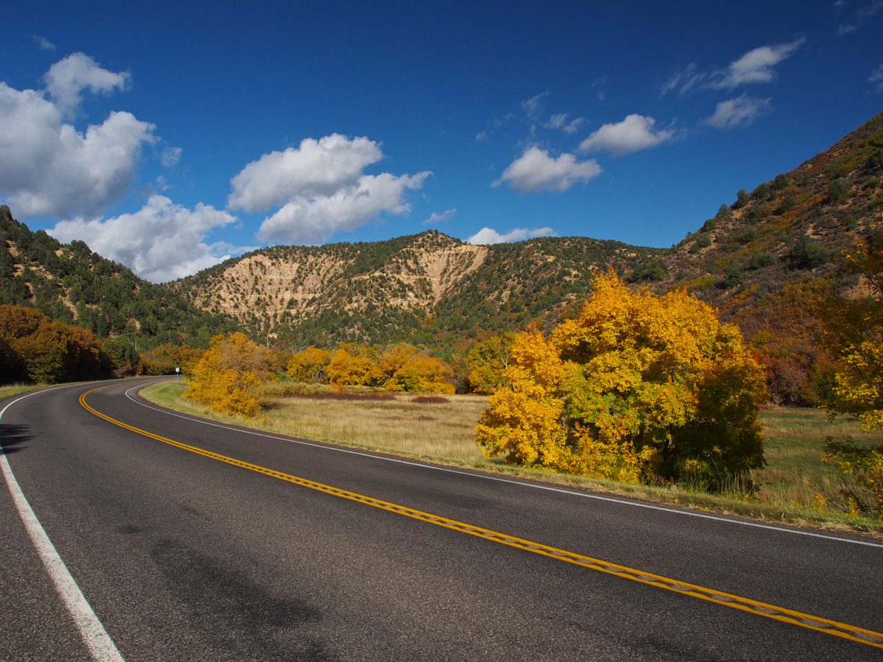
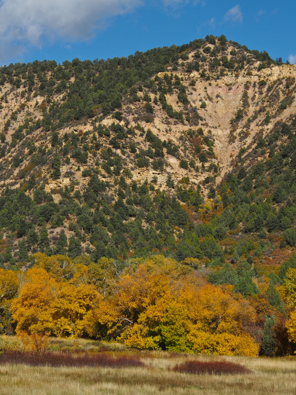
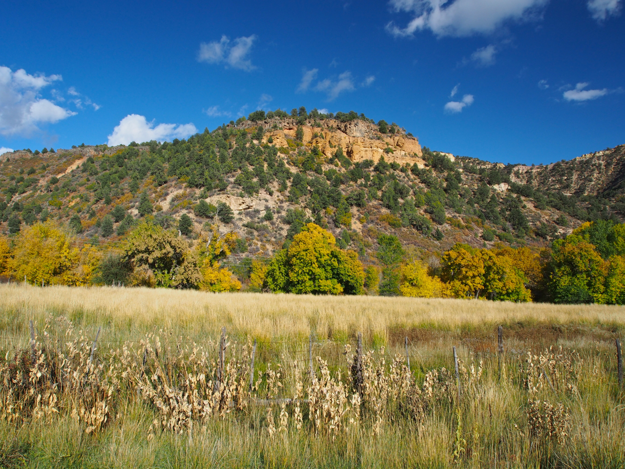
The ride from Arches NP to Green River and then on to Hanksville involved a few monotonous stretches.
Things began to get a little more interesting again as we approached Hanksville.
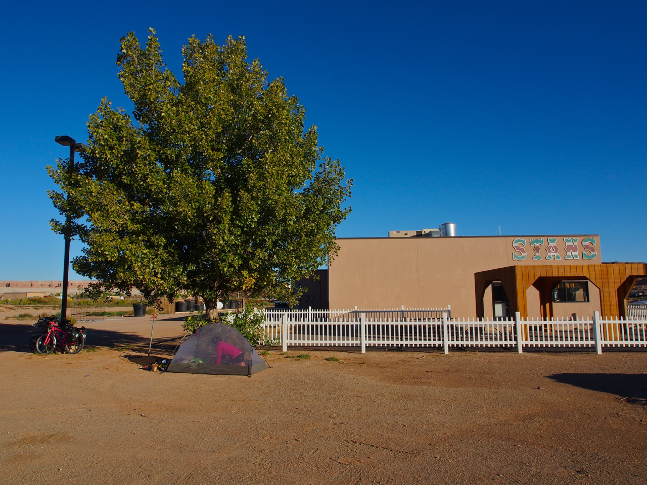
Our campsite in Hanksville next to a gas station. This was obviously not the most attractive locale, but it’s nice to have a reliable water source a few steps from “camp.”
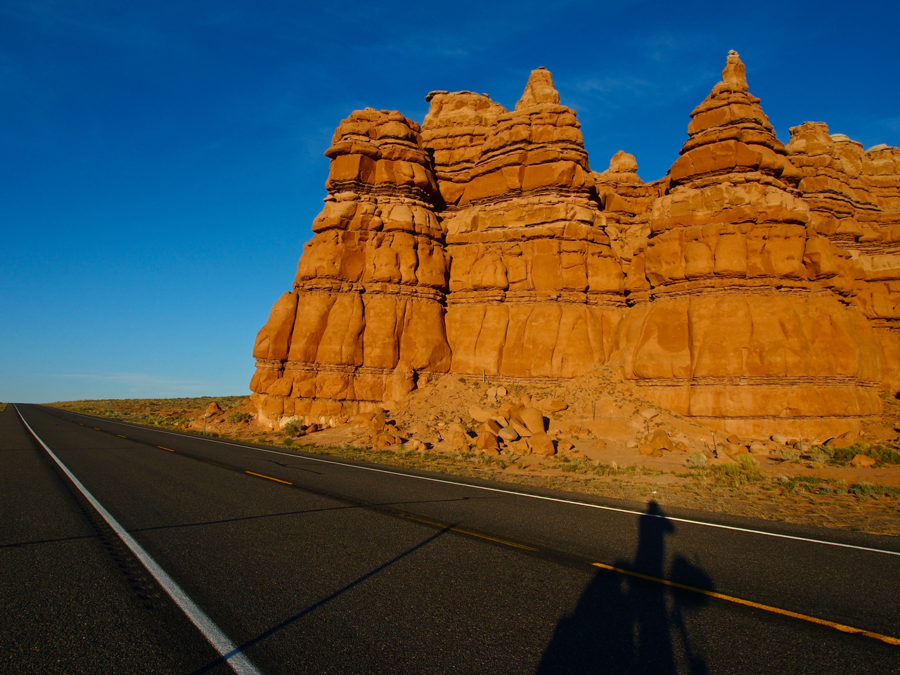
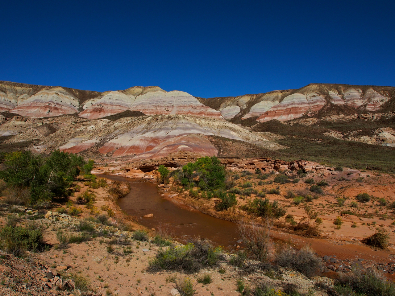
Hanksville is only a couple hours ride from Capitol Reef National Park. The roadside geology displays are impressive even before entering the park proper. This scene is just outside Hanksville, on public land.
Utah’s national parks deserve their reputation for stunning landscapes and intricate geologic formations, but the parks are so highly regulated and they see so many tourists that a visit doesn’t feel much like a wilderness experience. Other public lands offer more opportunities for solitude and adventure. In Utah’s national forests, visitors can hike, camp, and build campfires almost anywhere. The scene above is on public land between Hanksville and Capitol Reef NP.
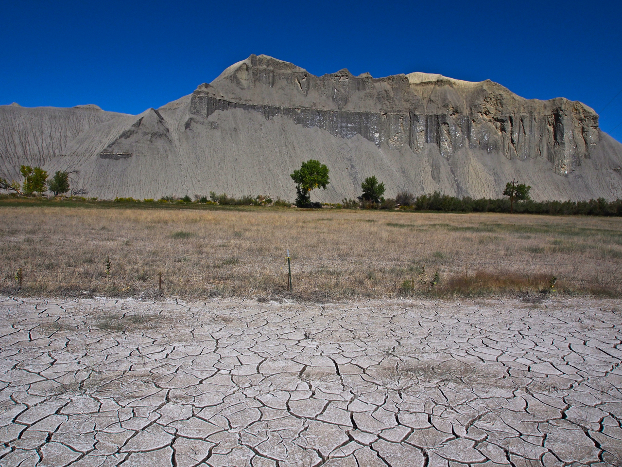

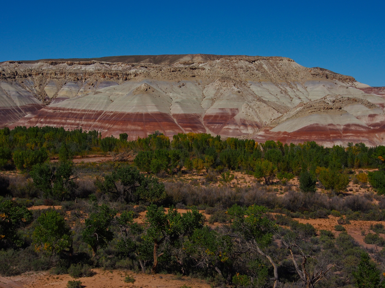
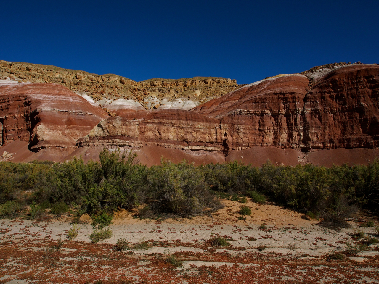
Minerals stain the landscape.
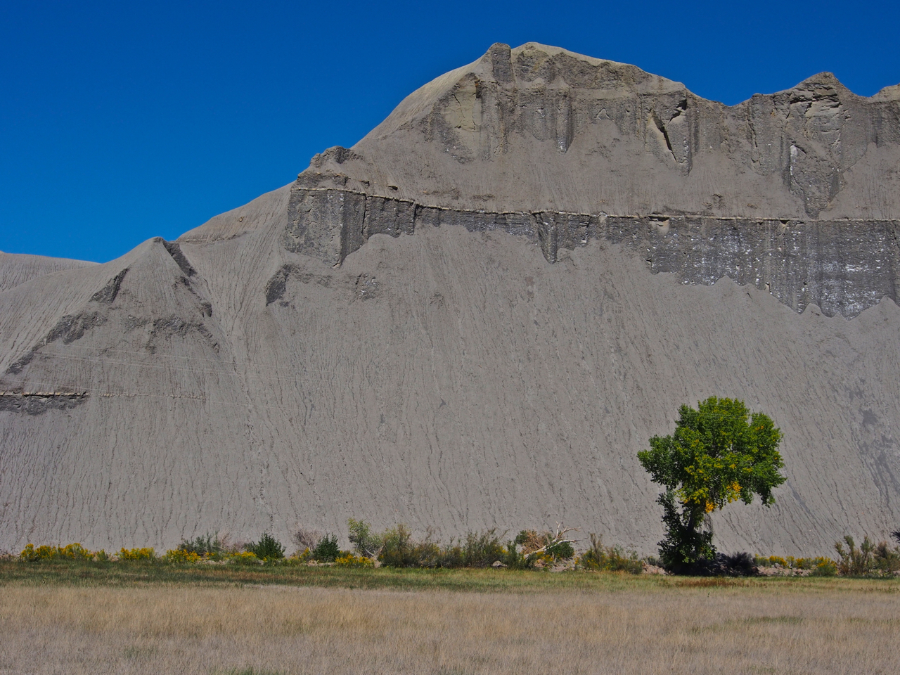
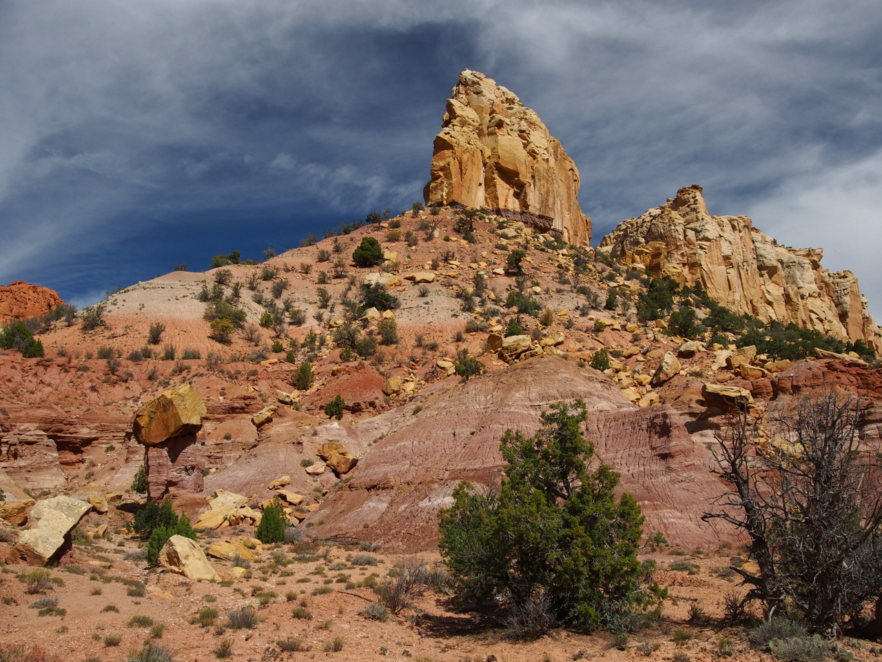
Capitol Reef National Park
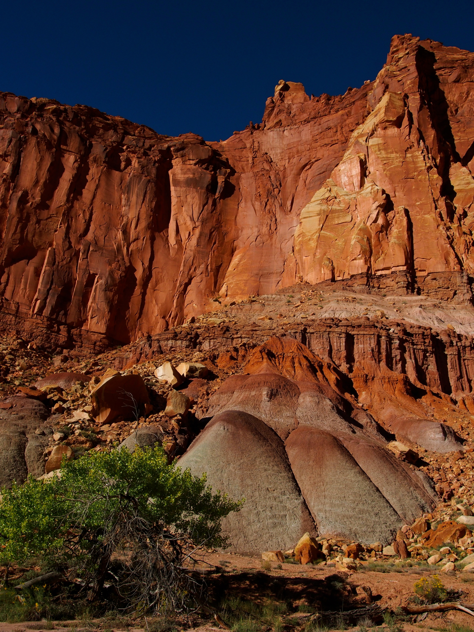
Capitol Reef National Park
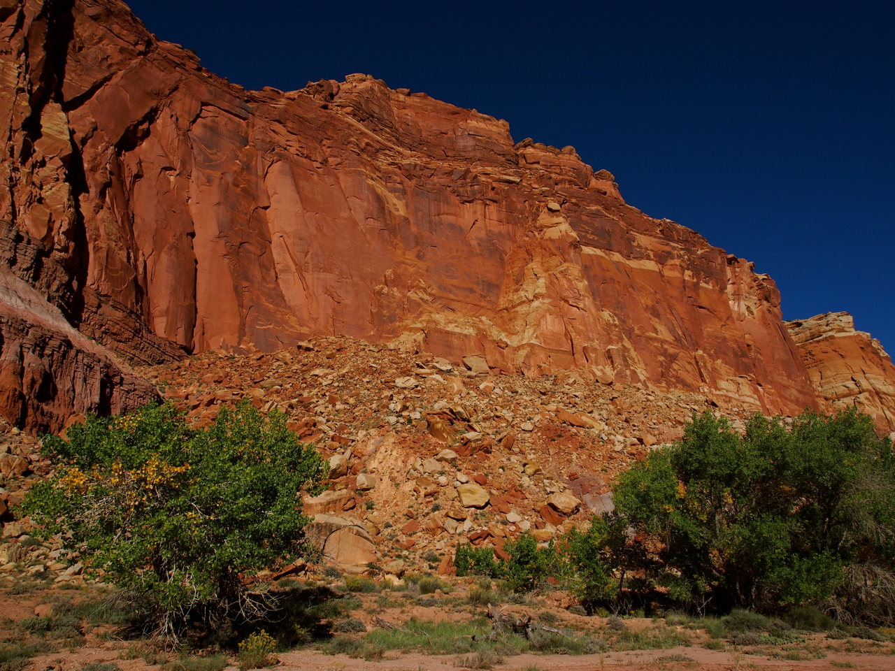
Capitol Reef National Park

Capitol Reef National Park
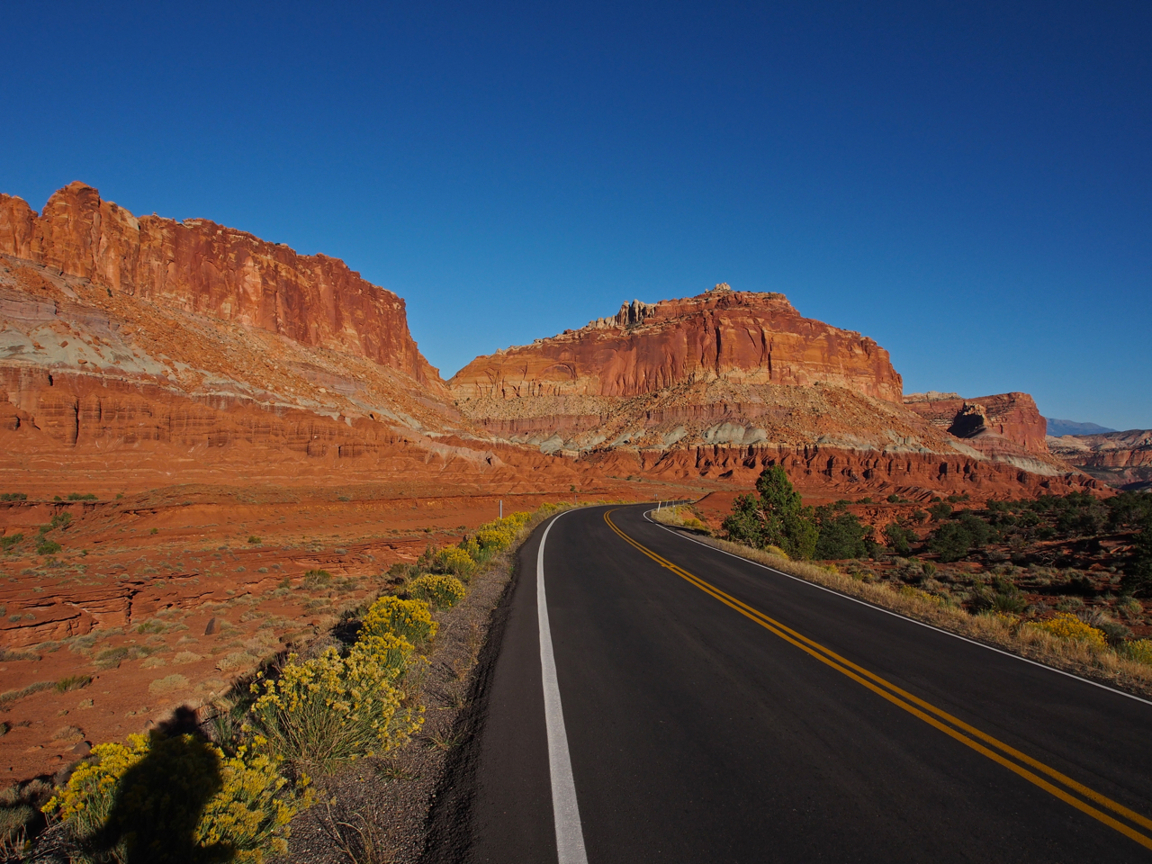
Capitol Reef National Park

The road that we followed through Capitol Reef eventually deposited us in the small settlement of Torrey, UT. Our Warm Showers host, Lyman, lived on the outskirts of town at the foot of a red rock cliff.
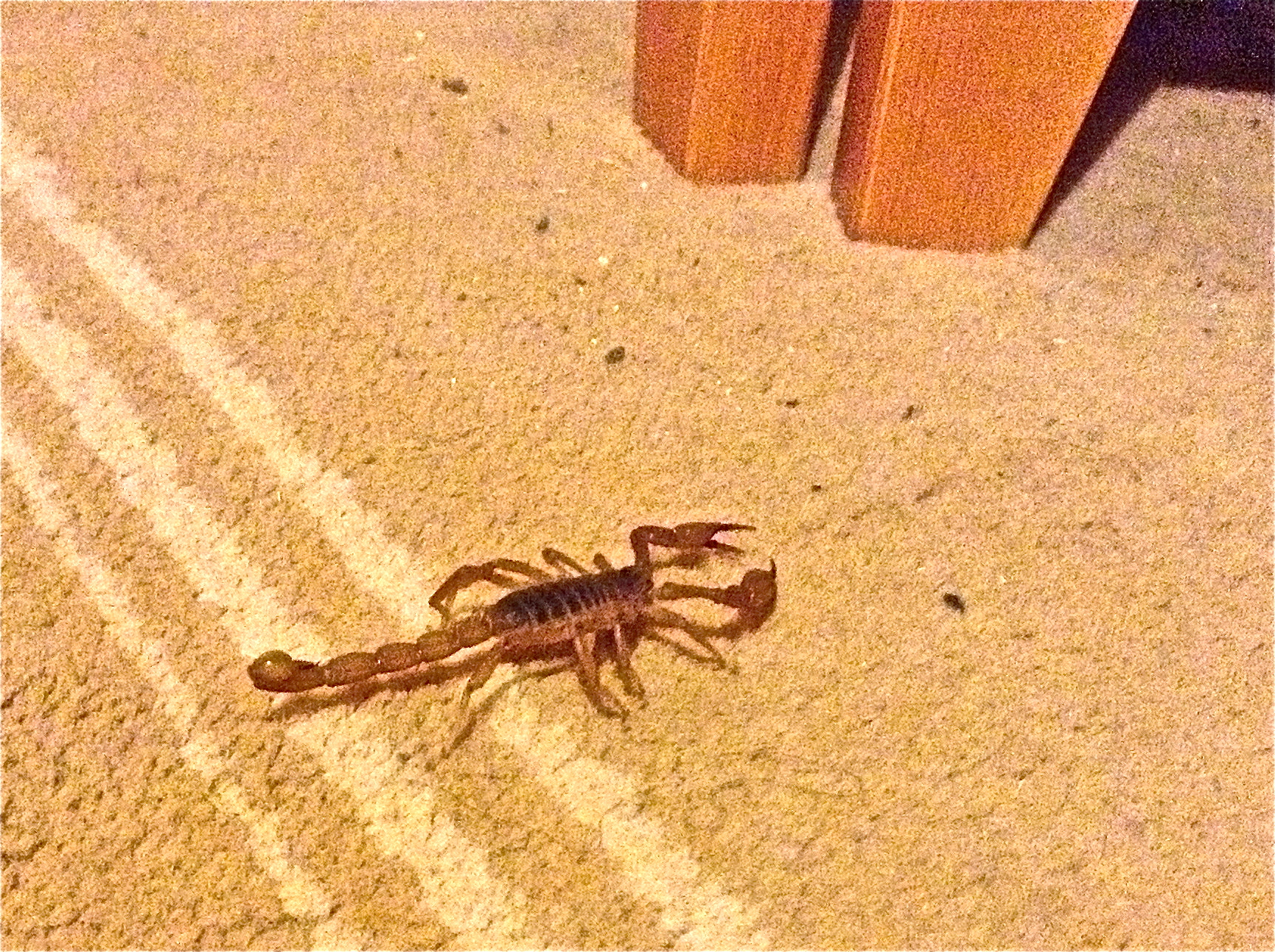
In Torrey, we camped out on Lyman’s basement floor. Just as we were dozing off, Eyna noticed we were not alone. The results of a frantic google search suggested this was an Arizona Bark Scorpion. The Bark Scorpion delivers the most unpleasant sting of the half dozen North American scorpion species, but, fortunately, it isn’t considered life threatening for the average healthy adult.
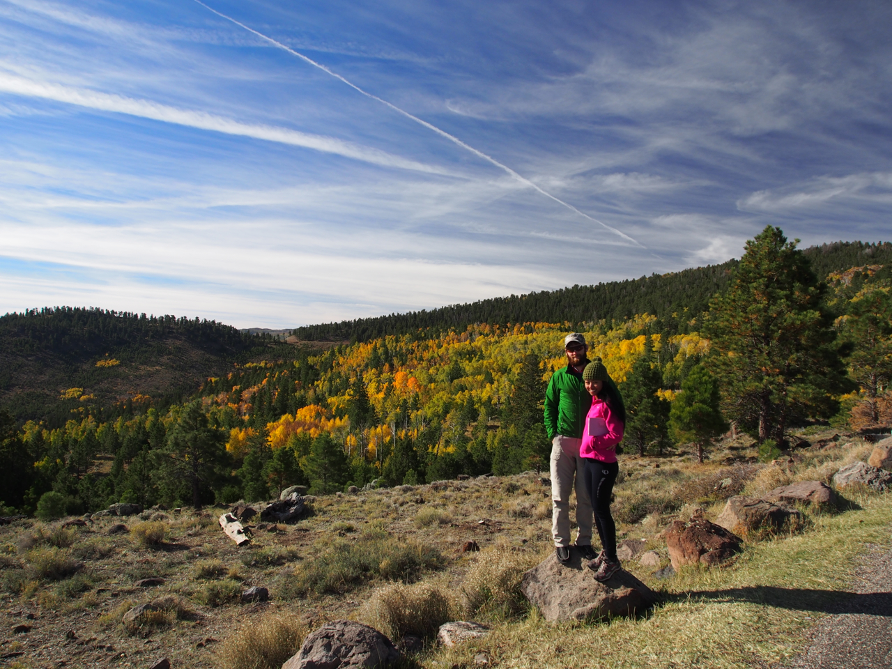
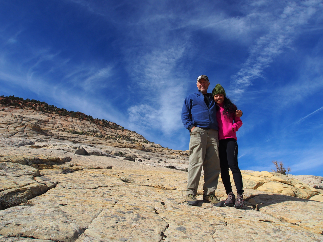
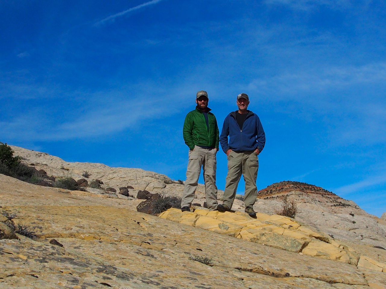
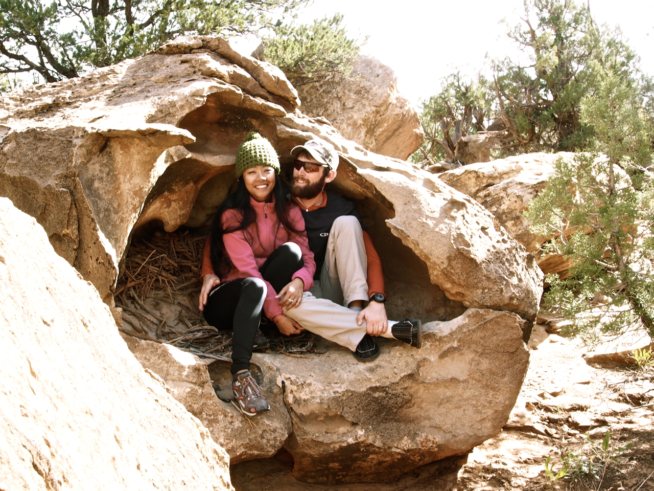
The next day we were treated to a guided tour of Boulder Mountain and Grand Staircase Escalante National Monument by one of Utah’s native sons, Dr. Wayne J. Hintze. Dr. Wayne also filled in as our portrait photographer for the day. Here’s a photo he took of us at a view point on Boulder Mountain.

Boulder Mountain was awash in golden brown and yellow aspens.
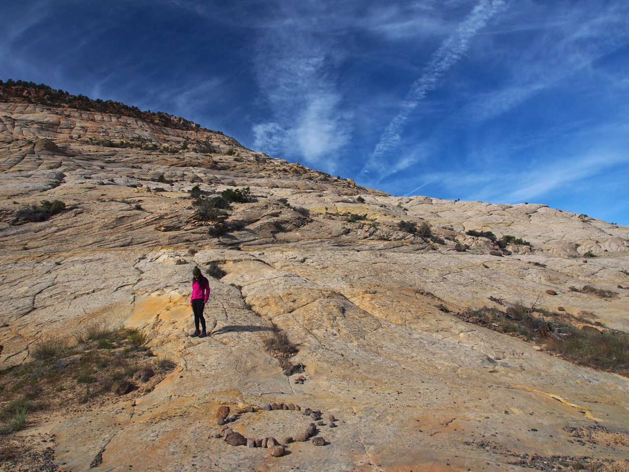
This part of Utah is peppered with petrified sand dunes.
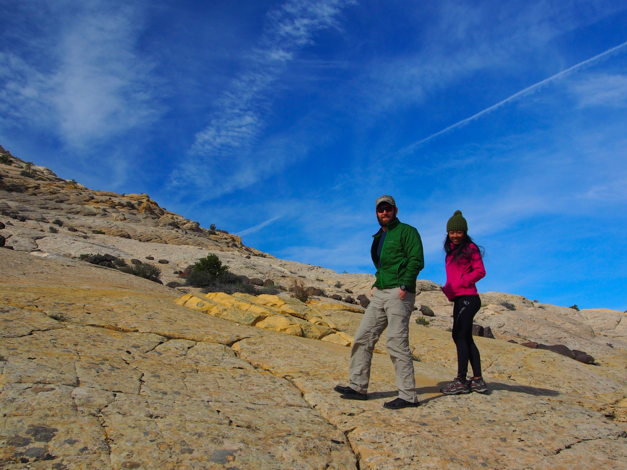
Dr. Wayne and Mrs. Kane atop a petrified sand dune.
Wayne sure does know a lot about Utah and sand and rocks.
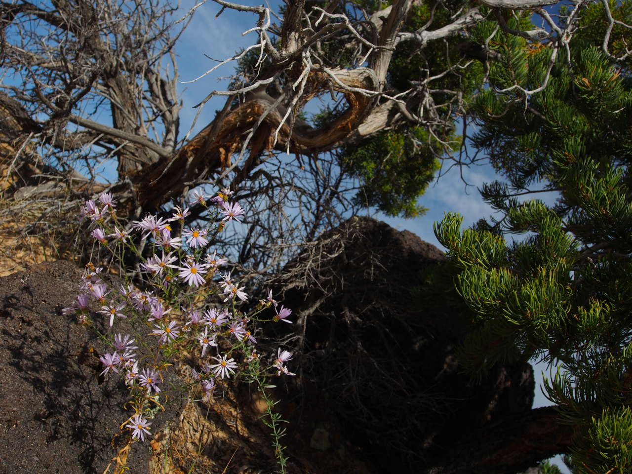
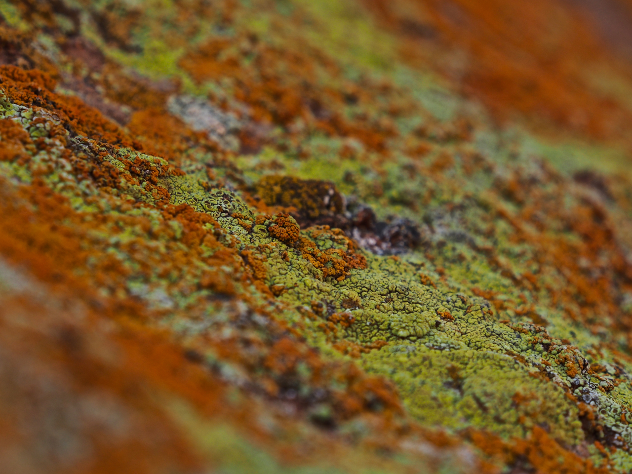
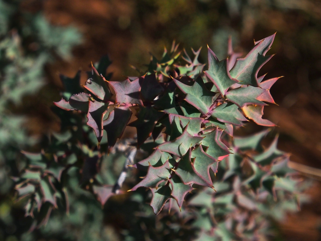
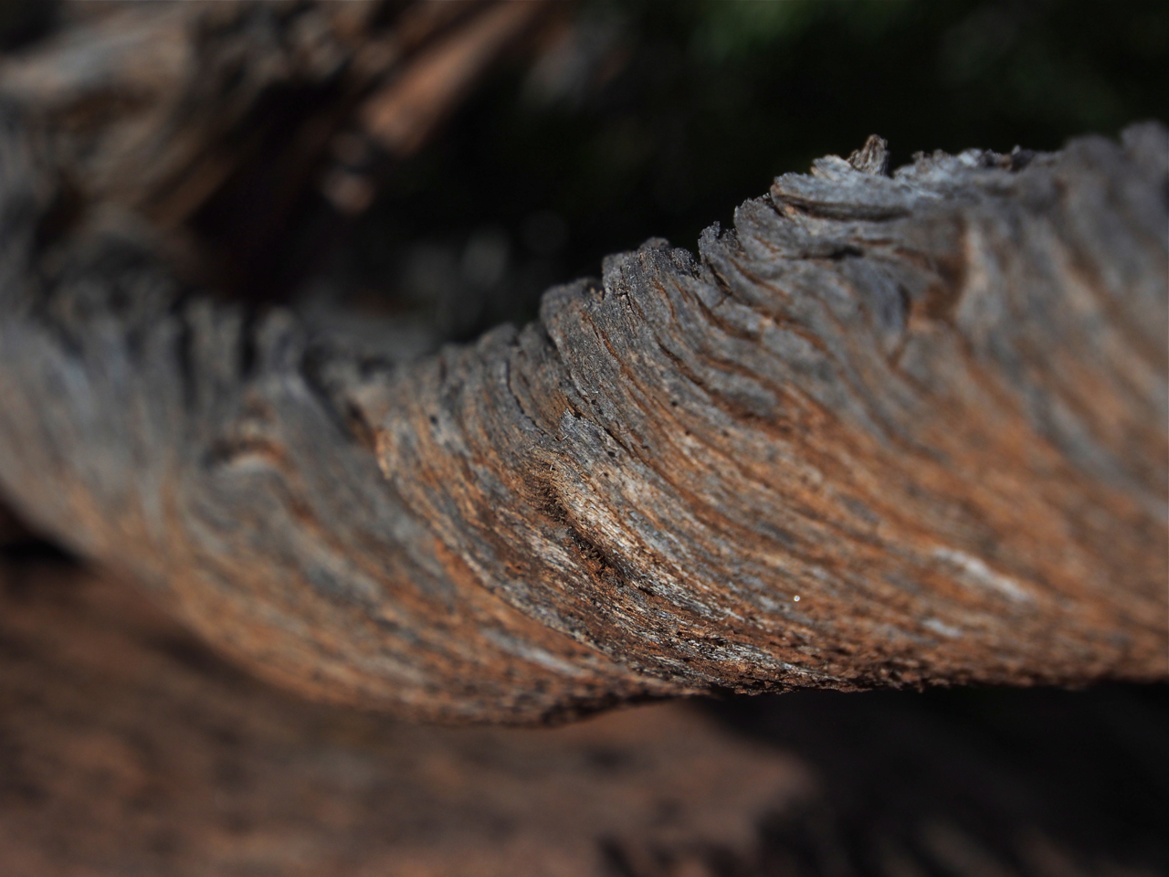
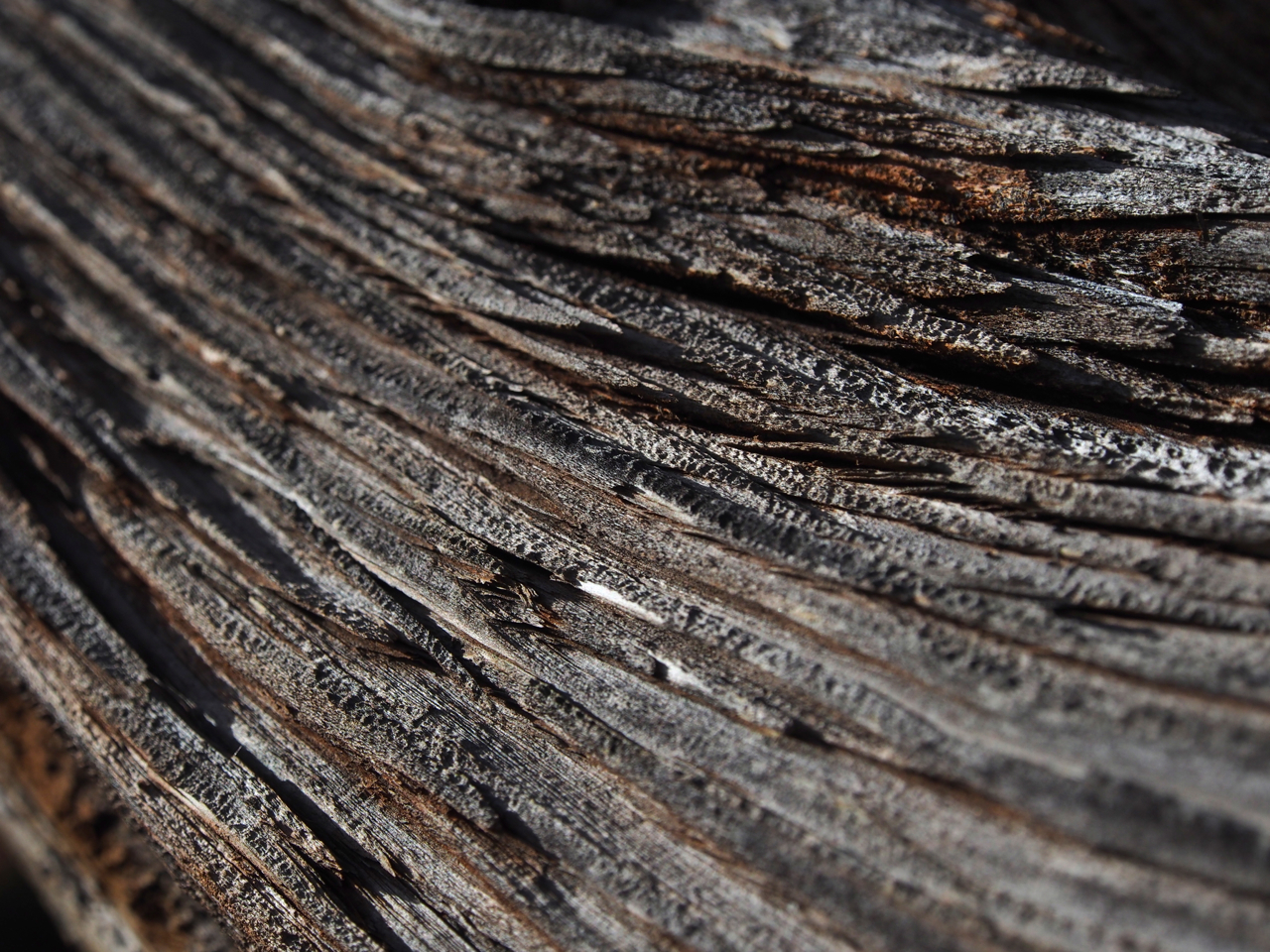
Some desert details…
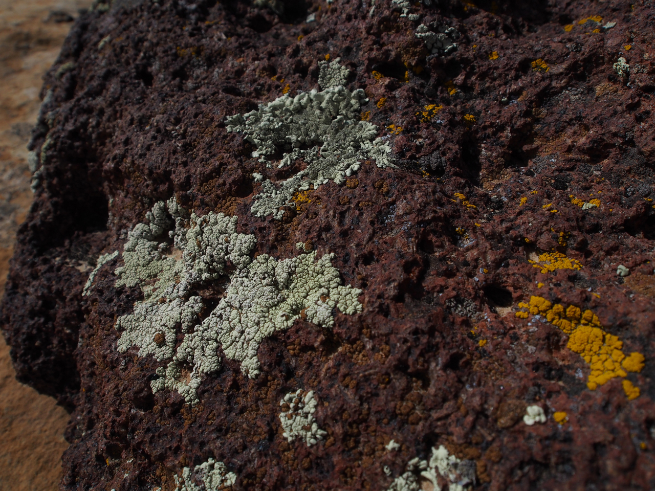
Volcanic rock and celest blue lichen
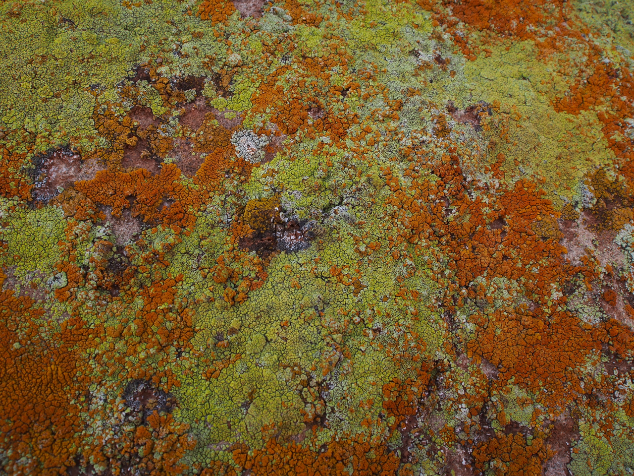
I’m lichen it.
Desert shrubbery.
Wrought Juniper
Let’s live here!
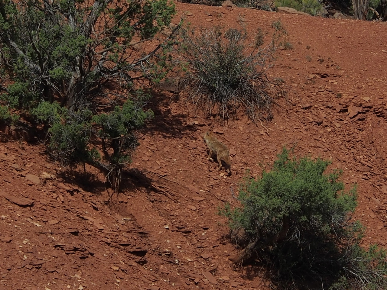
Coyote on the run.

A view into the “Water Pocket Fold” in Grand Staircase Escalante National Monument.
Grand Staircase National Monument: All the beauty and splendor of the National Parks without so many pesky regulations.

That would be cross-bedded sandstone in the background.
A view from the flanks of Boulder Mountain.
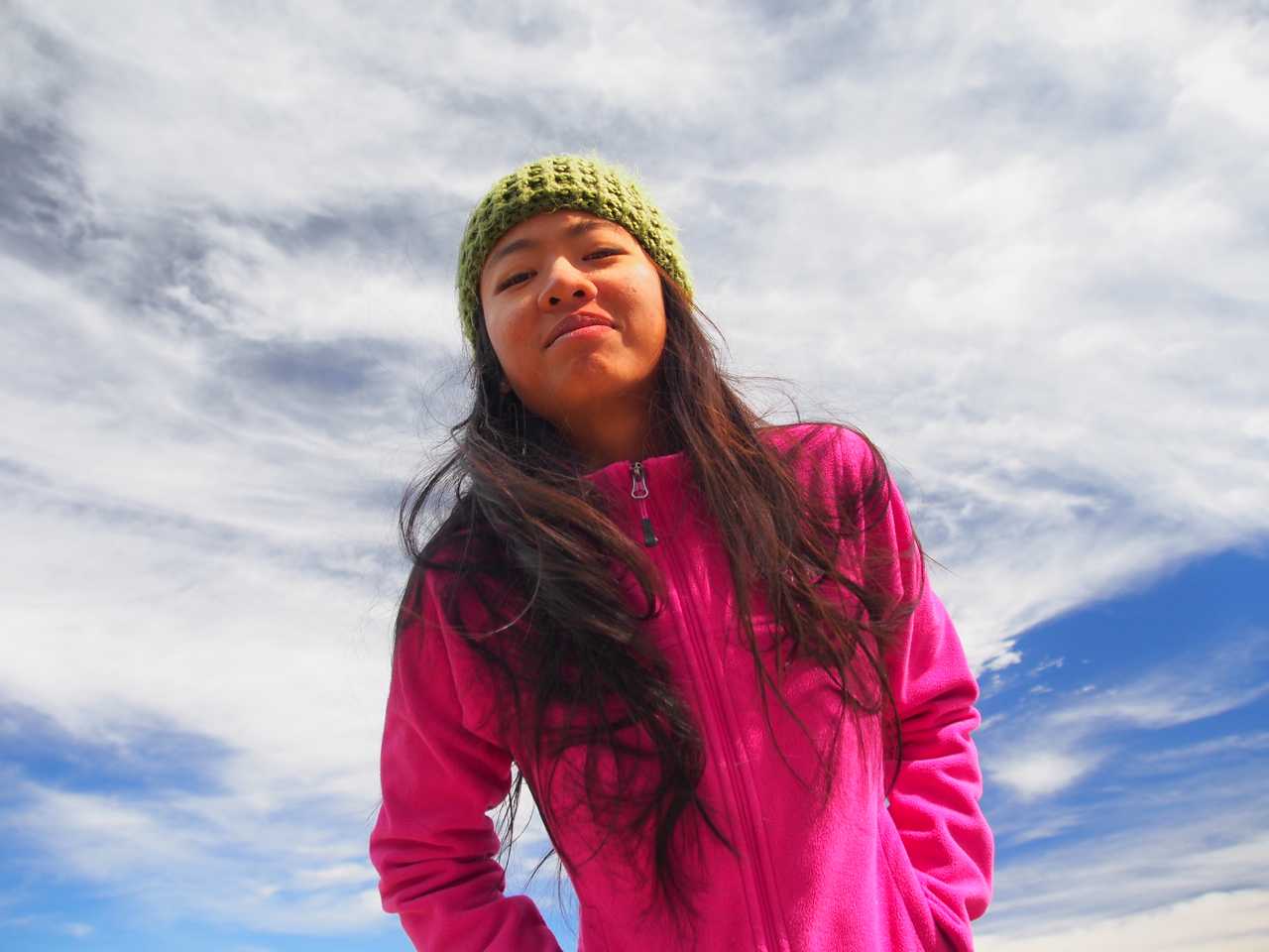
The Mrs.
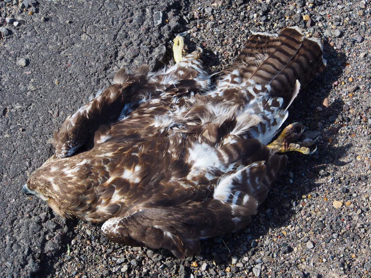
The day after our tour with Wayne we rode out of Torrey, bound for Otter Creek National Park. Along the way we came across a dead hawk. We’ve seen dead opossums, deer, a few coyotes, and innumerable raccoons (apparently the least situationally aware mammal in the lower 48), but this was the first bird of prey in some 3,000 miles.
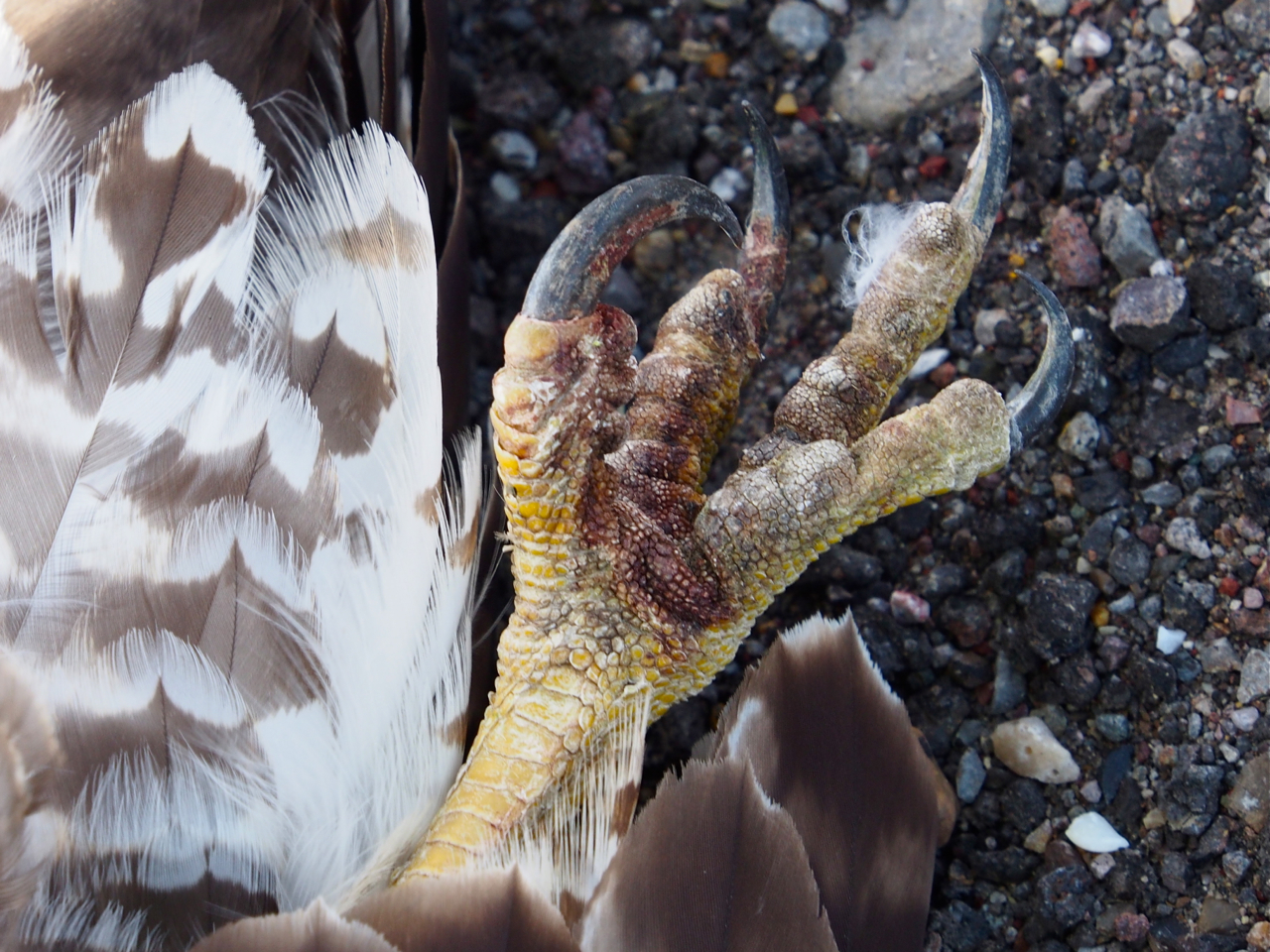
A mouse’s worst nightmare.
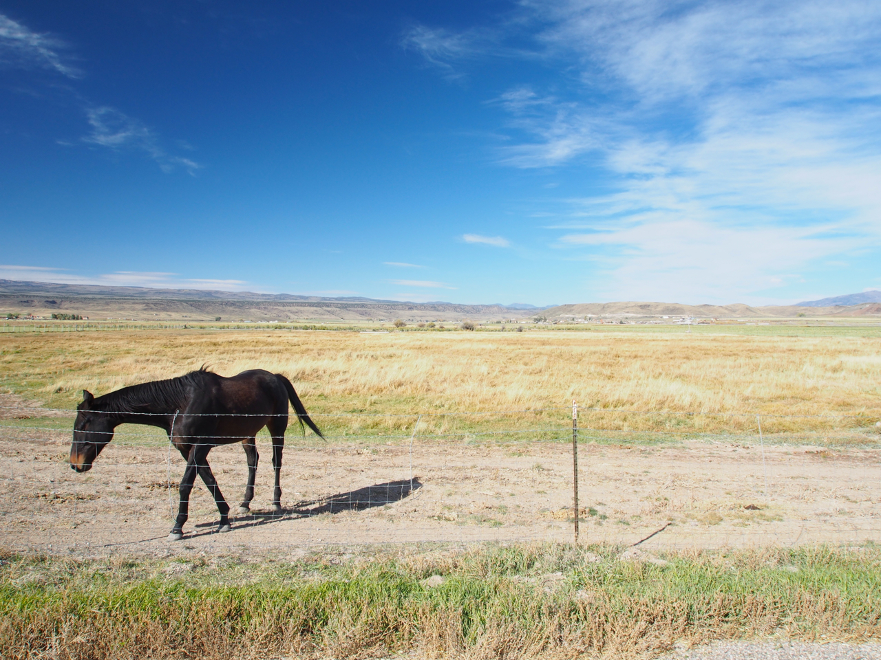
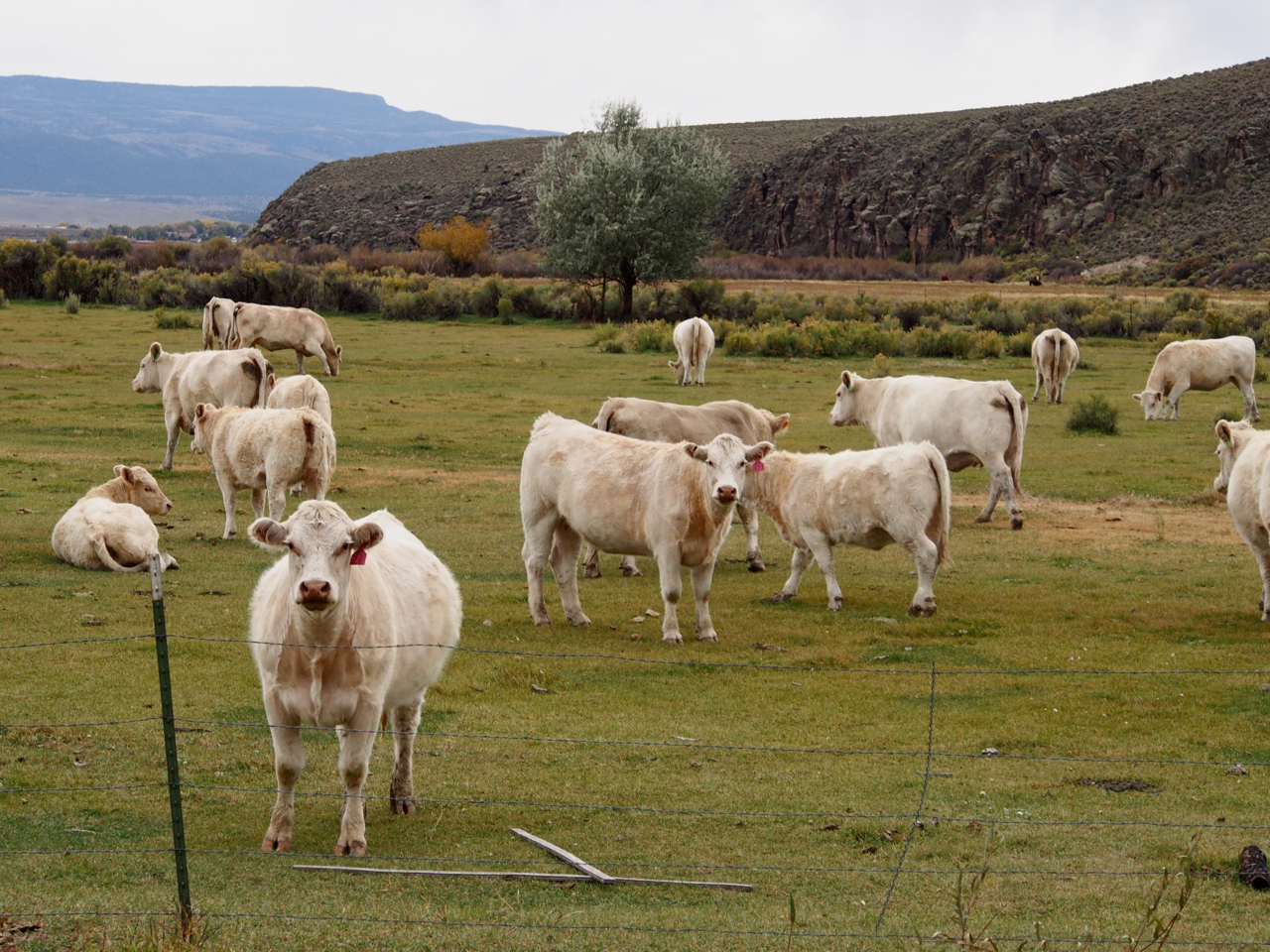
Pasture land before Loa, UT.
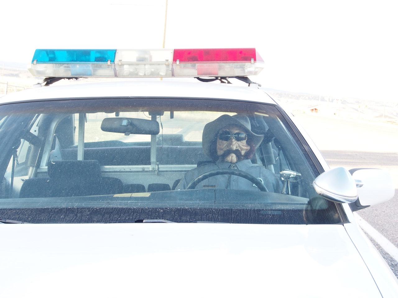
Loa is guarded by a Danny Trejo mannequin in a squad car from the 80’s.
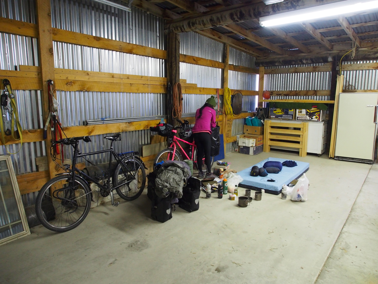
We decided to spend the night in Loa. After hunting around for a half hour, we found a place to camp out in a local’s garage.
Just outside Otter Creek State Park.
The view from our camp in Otter Creek State Park.
At 3.5 pounds, our tent is a bit light and flimsy. Having an ultralight shelter normally isn’t an issue, but on this particular day the weather forecast called for strong wind and snow. After mulling over our options we chose to take shelter in a picnic pavilion. The structure had three walls to block the wind, which seemed like enough protection from the elements, so we chose to sleep on our sleeping pads on the floor without setting up the tent. That turned out to be a bad idea. Twice during the night I was awakened by a sound and discovered a large skunk well within my personal space. The first time it was a few inches from my legs, and the second time it was pacing around next to my head. What do you do to frighten a skunk enough that it retreats, but not so much that it sprays you?

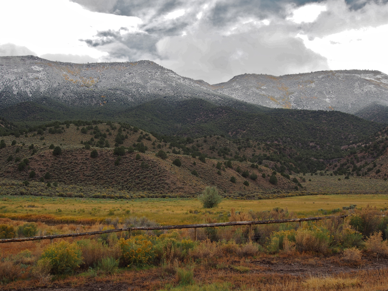
The stretch of road between Otter Creek State Park and Kingston, UT was our favorite.
Dixie National Forest…open for fishing, hiking, and camping. Who needs the National Parks?
Dixie National Forest
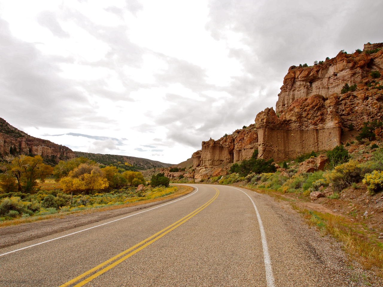
Approaching Orderville, UT during a 17-mile descent.
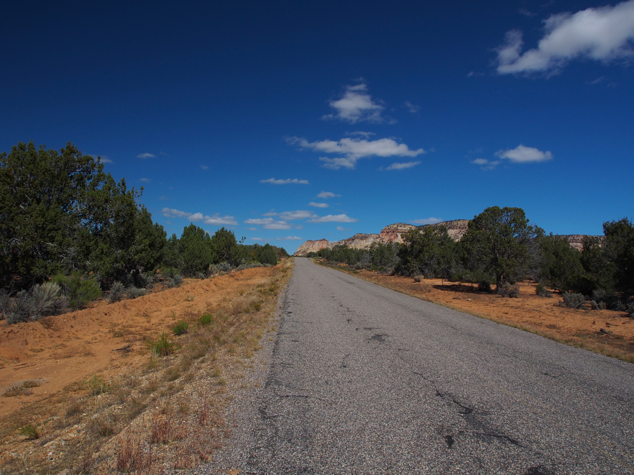
Outside Orderville, UT
Outside Orderville, UT
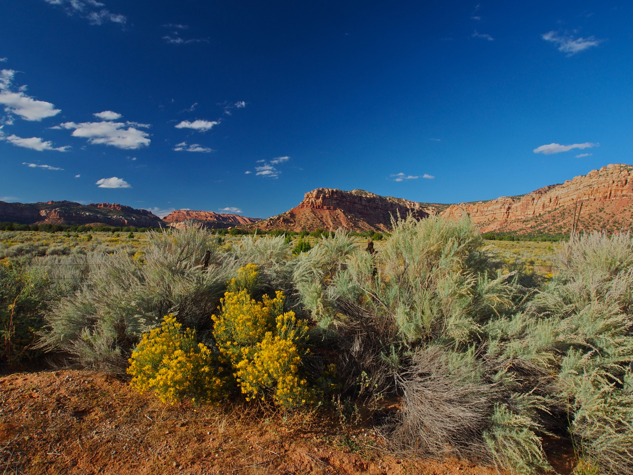
From our campsite in the town park in Orderville, we followed a backroad that took us past Coral Pink Sand Dunes State Park and onto the Utah-Arizona state line. After spending the night just over the border in Arizona, we planned to ride northwest to St. George, UT.
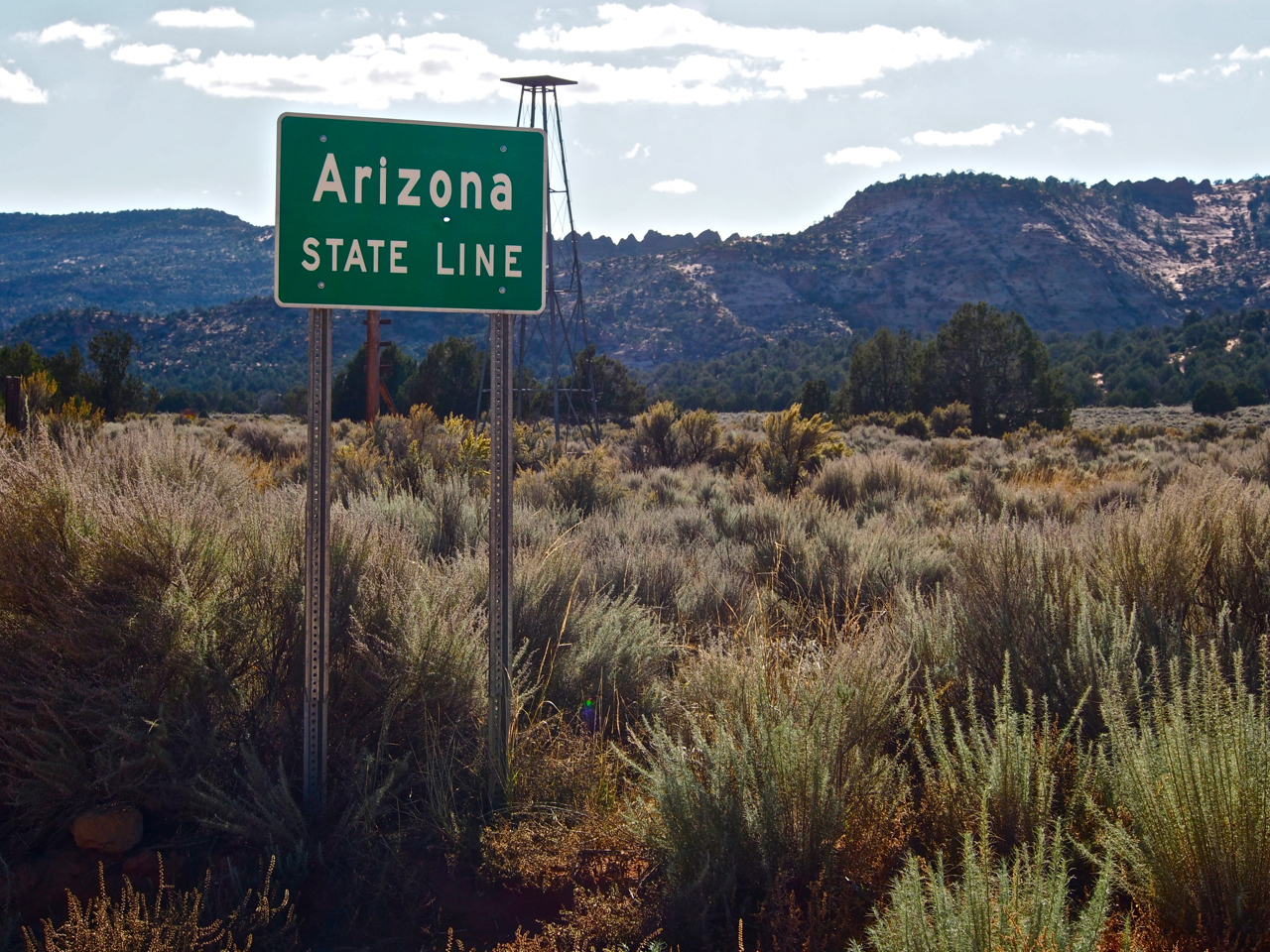
Entering the 11th state of the trip.
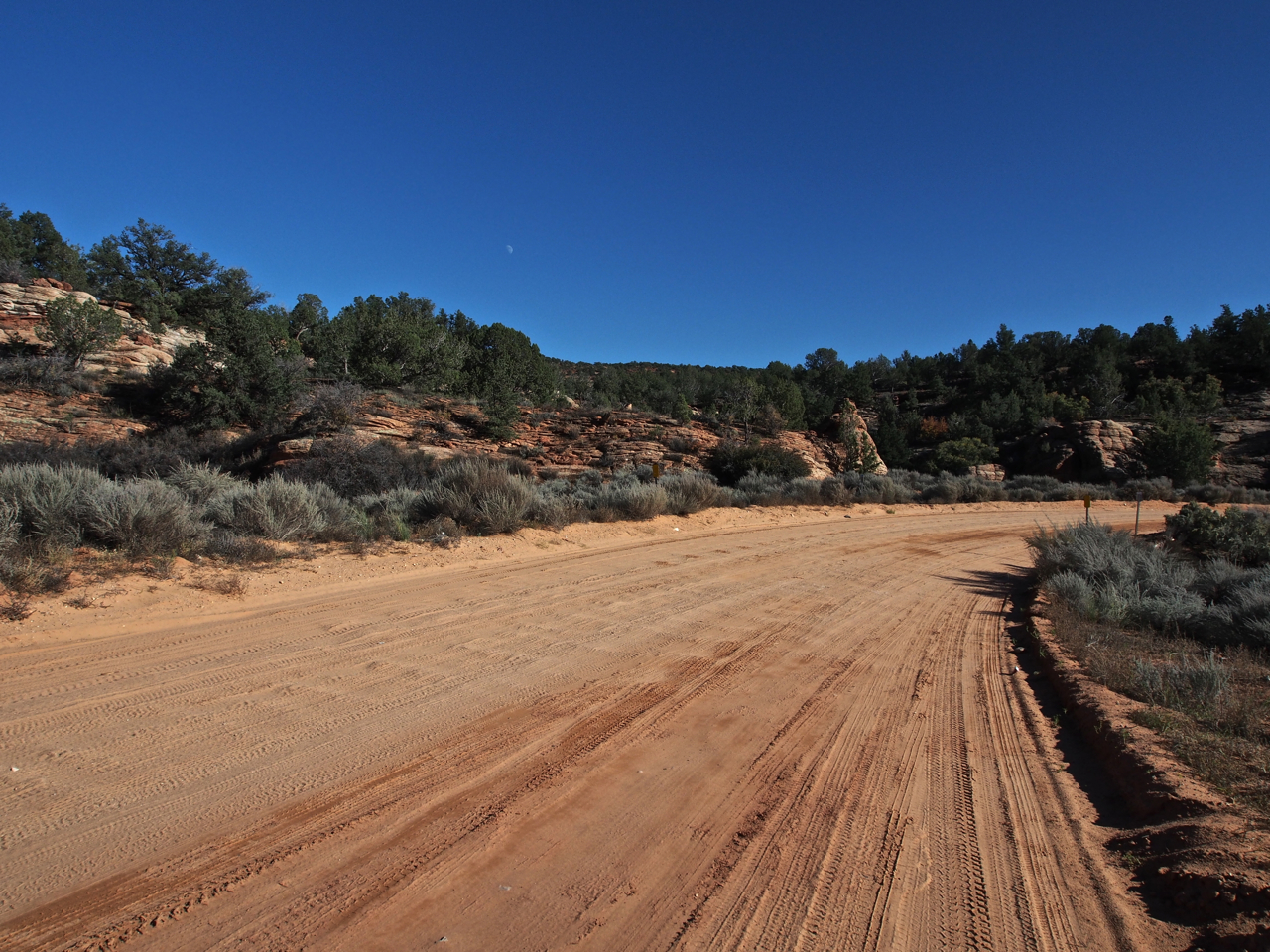
The pavement disappeared at the border and we found ourselves struggling to stay upright on a sandy, washboard surface.
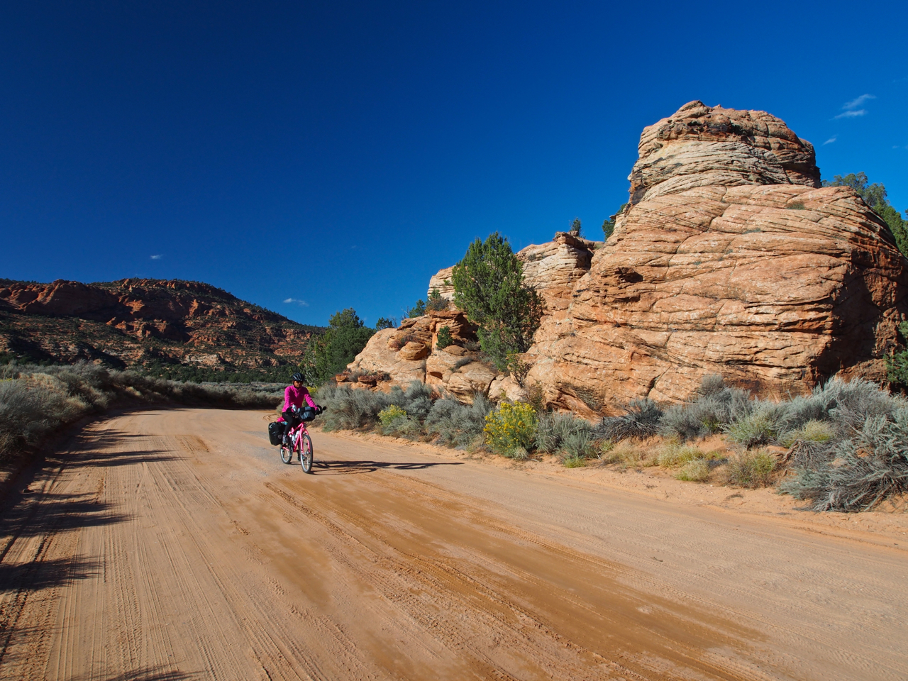
Some sections of the road were quite smooth…and scenic.
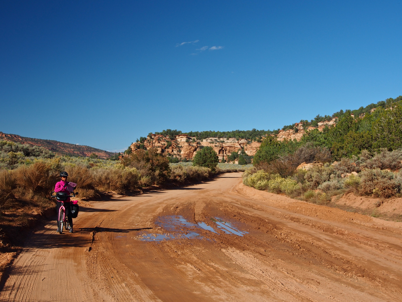
Other areas were a little rougher.
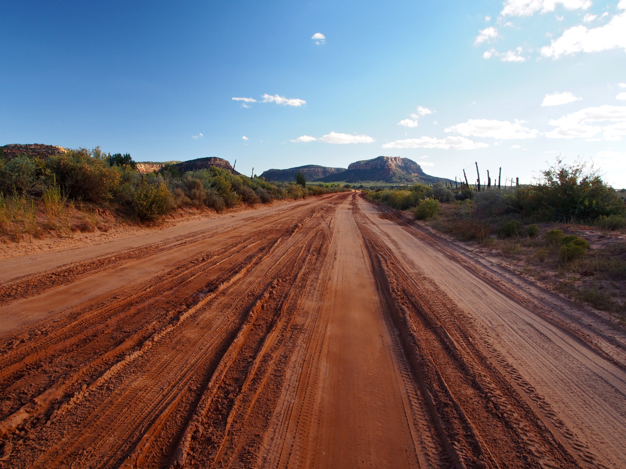
The eight miles of dirt and sand were a little more exciting than a standard asphalt surface.

We chose our destination for the day based on mileage: looking at the map, we found a town that was about 50-60 miles away and decided to ride there and look for a place to pitch our tent. We didn’t know anything about the town before we arrived, other than the fact that it was a convenient stop. Our stay in Colorado City, AZ turned out to be a very unique cultural experience…
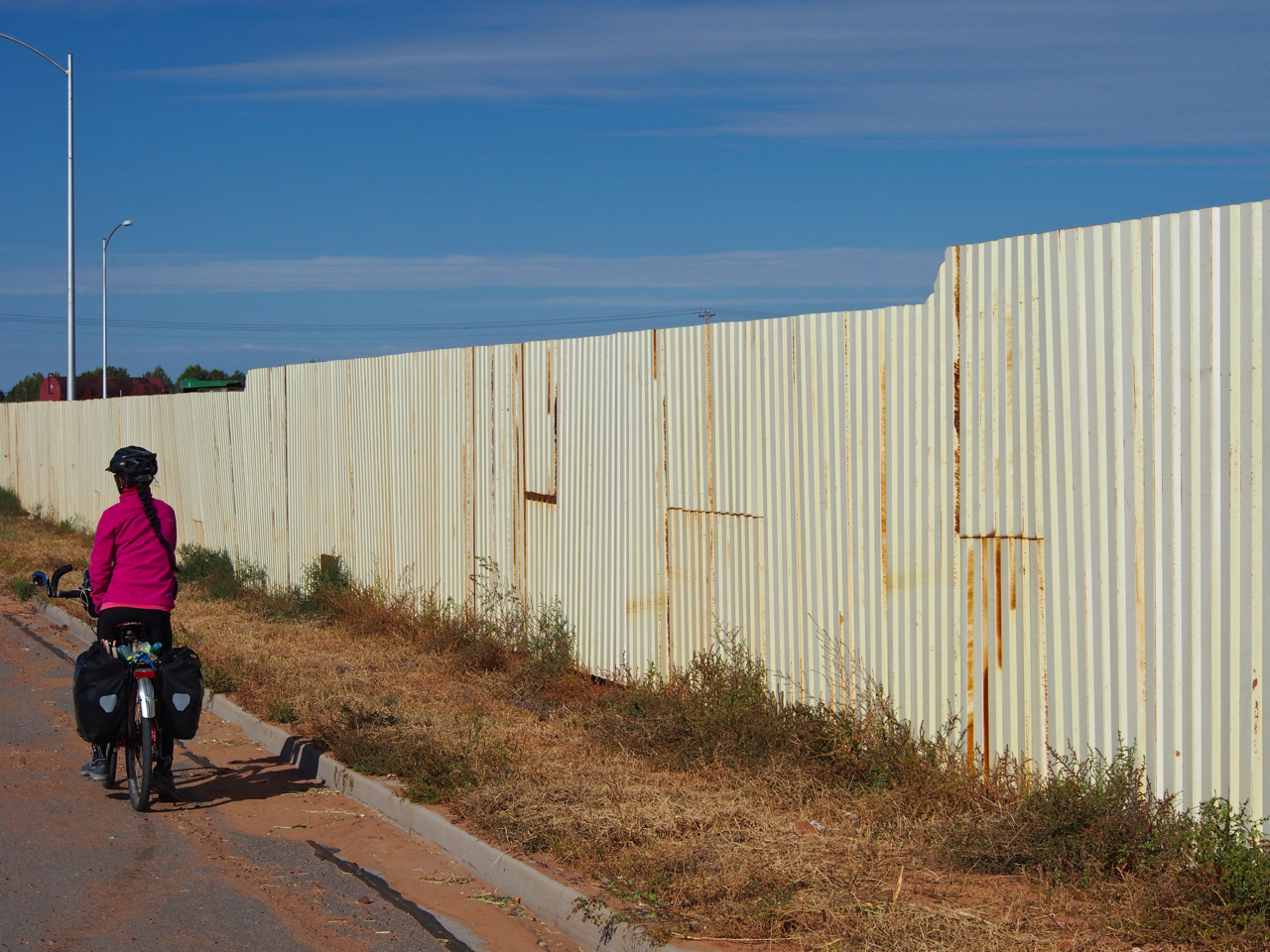
The first thing we noticed was that most of the homes were surrounded by 7-8 foot tall fences.

It wasn’t a very inviting town. The people we saw didn’t look very threatening though…most of them were children, and all of them looked clean cut and straight laced.

It turns out Colorado City, AZ is a polygamous community. That explained the insularity. On the other hand, all of the people we met in town were friendly and polite, and no one appeared unhappy or depressed…
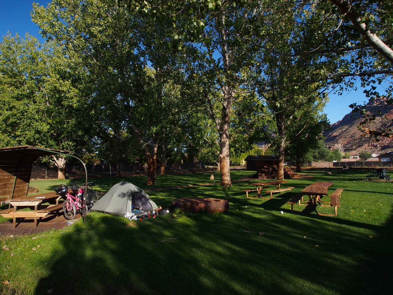
We wound up camping in the town park that evening.
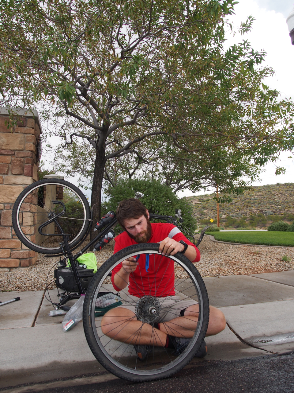
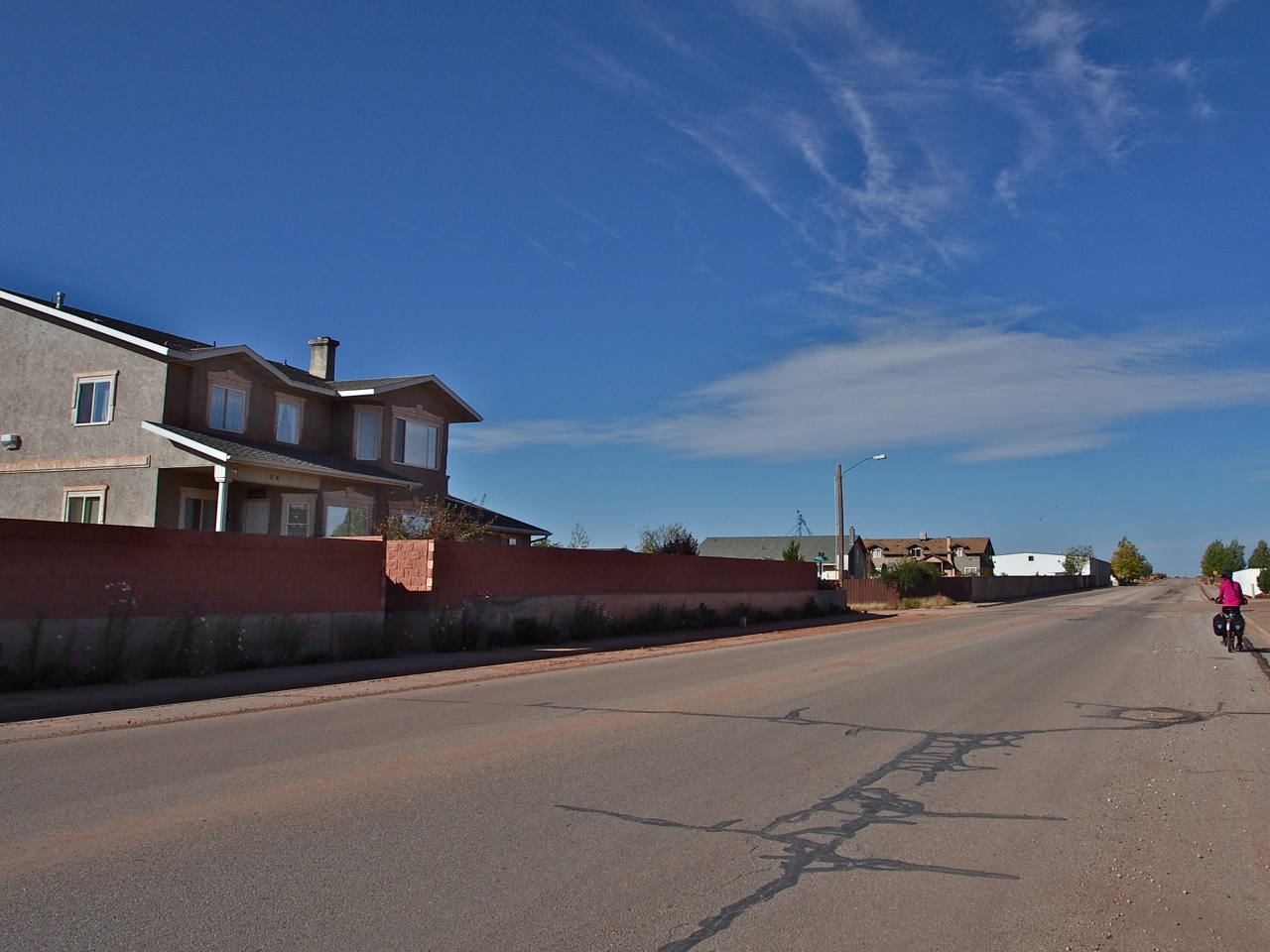
Aaaand one more flat on the way into St. George, UT. This time the offender was a big chunk of glass. More frequent flats are often a sign that it’s time to change tires. I’ve swapped out my well worn Continental Travel Contact tires for a new pair of the discontinued Schwalbe Marathon XR’s here in Las Vegas. The Travel Contacts served me well for over 3,500 miles. We will see how the Schwalbes do…
Statistics:
September 24: Grand Junction, CO to Dewey Bridge, UT, 73.06 miles in 7 hours and 49 minutes
September 25: Dewey Bridge, UT to Moab, UT, 39.04 miles in 5 hours and 45 minutes
October 3: Moab, UT to Green River, UT, 57.17 miles in 6 hours and 26 minutes
October 5: Green River, UT to Hanksville, UT, 60.38 miles in 7 hours and 6 minutes
October 6: Hanksville, UT to Torrey, UT, 54.30 miles in 6 hours and 50 minutes
October 8: Torrey, UT to Loa, UT, 18.80 miles in 2 hours and 33 minutes
October 9: Loa, UT to Otter Creek State Park, UT, 47.64 miles in 6 hours and 19 minutes
October 10: Otter Creek State Park, UT to Panguitch, UT, 44.31 miles in 5 hours and 59 minutes
October 11: Panguitch, UT to Orderville, UT, 46.72 miles in 5 hours and 4 minutes
October 12: Orderville, UT to Colorado City, AZ, 42.97 miles in 5 hours and 22 minutes
October 13: Colorado City, AZ to St. George, UT, 45.73 miles in 4 hours and 51 minutes
Total miles: 530.12 miles
